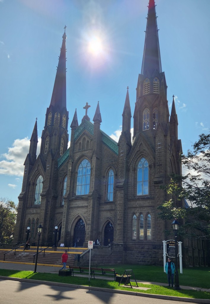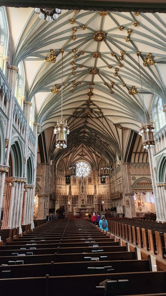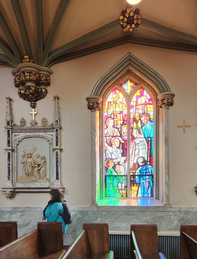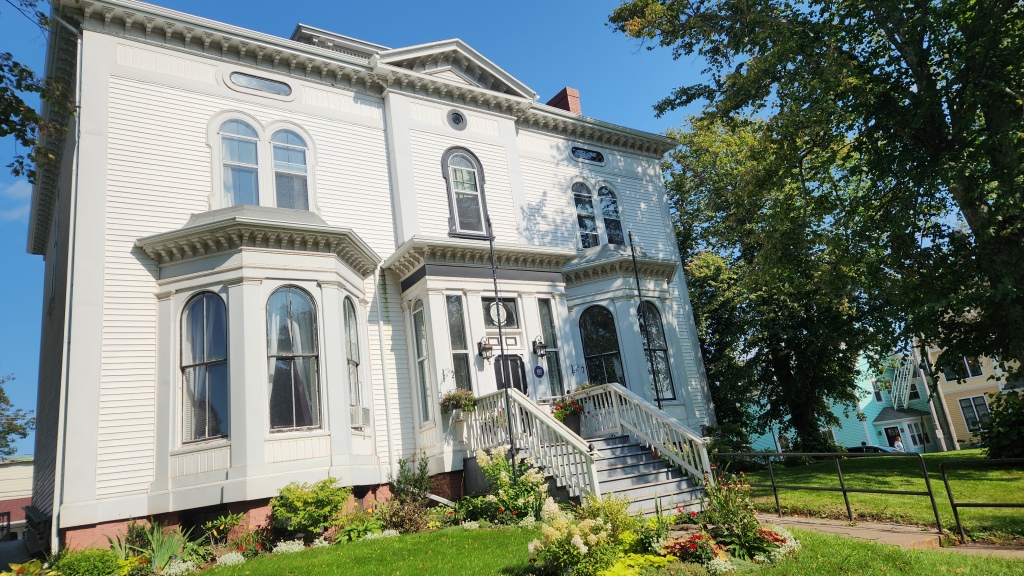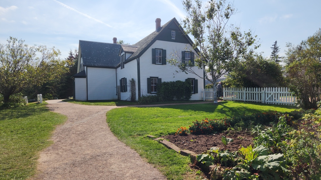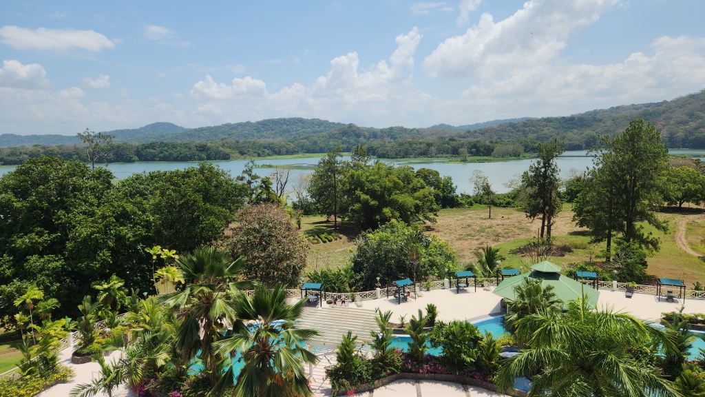
This post continues the story of our Road Scholar tour of the Canadian Maritimes. At the end of Part 2, we had just arrived at the Delta Hotel in Moncton, New Brunswick, having completed our exploration of Prince Edward Island. Onward we go:
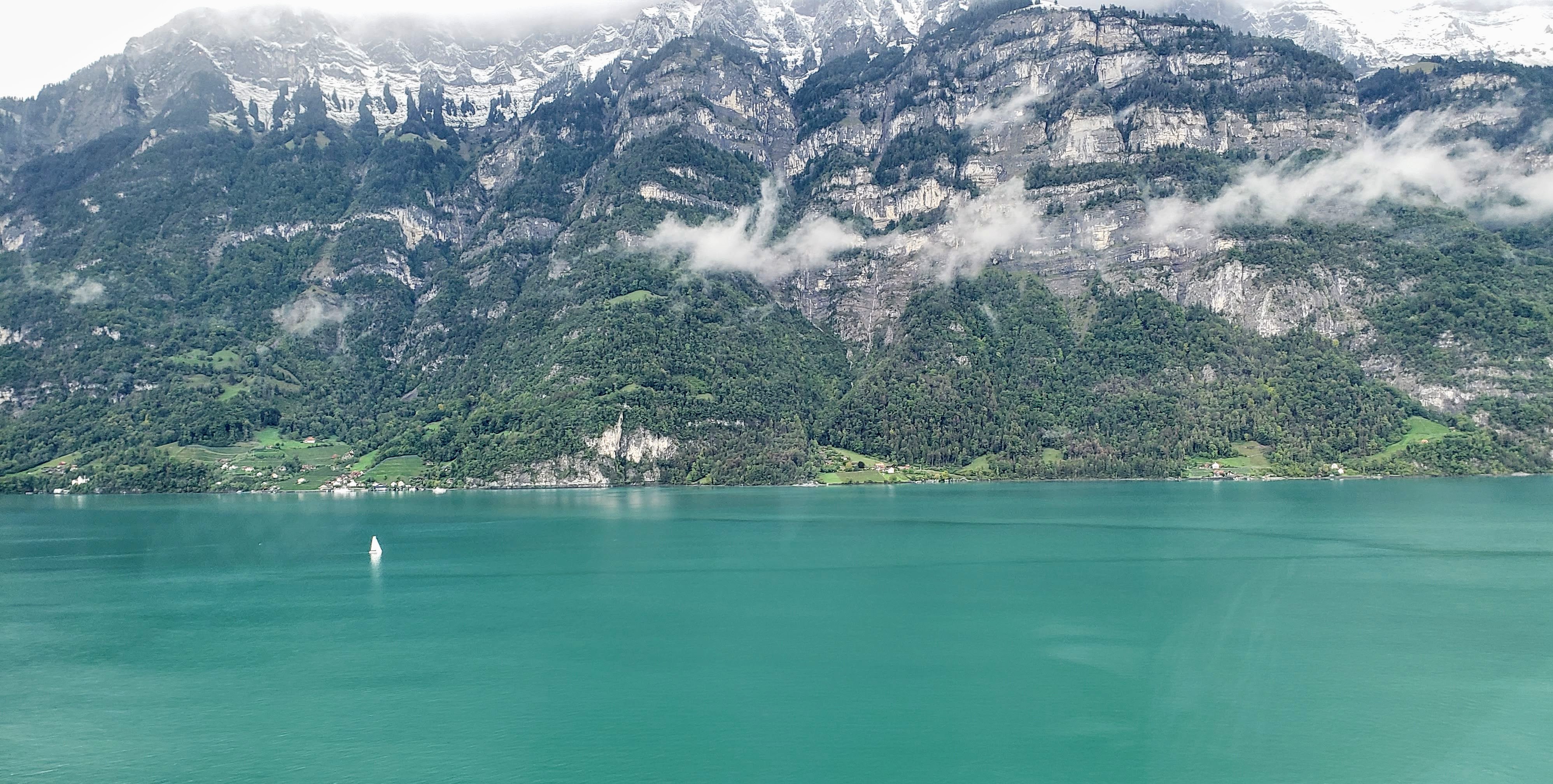
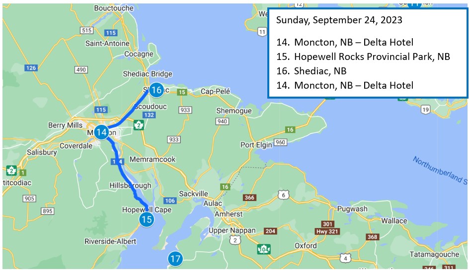
Sunday, September 24, 2023: After breakfast at the hotel, we headed southeast along the banks of the Petitcodiac River to the Hopewell Rocks Provincial Park, located on the western “arm” near the tip of the Bay of Fundy. (Interestingly, our guide at the park pronounced the name of the bay as “Funday” rather than as “Fundee” as I had always heard it. Apparently, that is the local way to say it.) This visit was definitely one of the highlights of the trip.
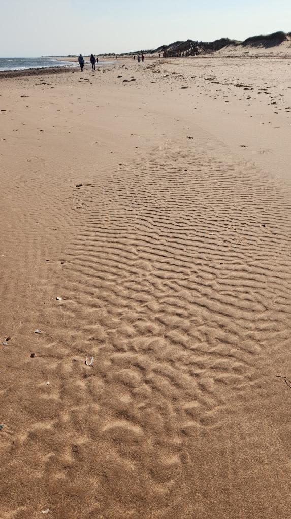
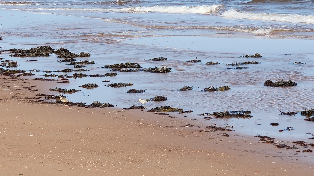
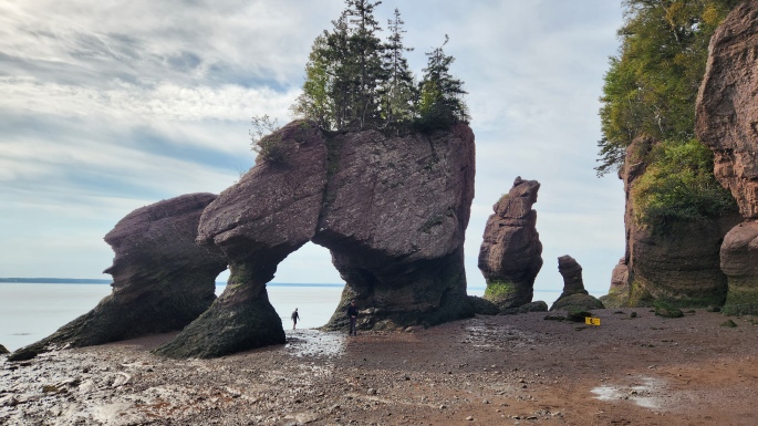
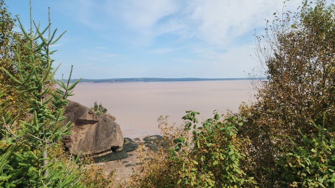
The bay of Fundy produces the highest tides in the world due to its unique shape and dimensions, rising from 39 to 52 feet from low to high tide at the Hopewell Rocks site, depending on the date, time, and positions of the moon and the sun. Our visit to the park came as the water approached low tide, which allowed us to walk along the beach and explore the fascinating sea stacks, or “flowerpots” – so named for the impression conveyed by the trees and shrubs on top. These free-standing rock structures have been sculpted from the sandstone cliffs over thousands of years by the daily tides. In the photo below, you can see the arch in which weddings are regularly held; at high tide the water can rise above the top of the arch. I’ve also included a time-lapse video showing the tide cycle on a day that it reached 42.6 feet:
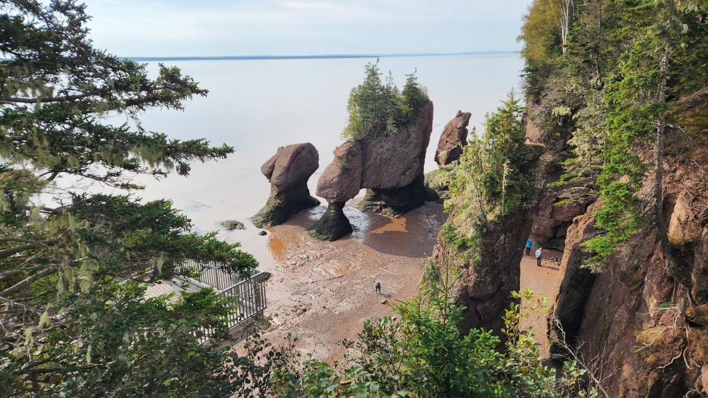
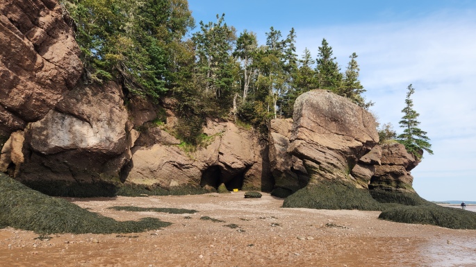
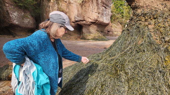
We spent about four hours at the provincial park exploring the excellent museum, walking along the beach, enjoying lunch at the museum café, and then walking along a trail on the cliff for an overlook of what we had seen on the beach. The seaweed was quite interesting – very thick and sturdy. It only survives if wetted by seawater daily, so the top line of the seaweed indicates the lowest level of daily high tides at the Hopewell Rocks site. The cliff rocks are also somewhat unstable and there are warning markers in various areas to prevent visitors from getting too close to them. Here are some more photos to provide a feel for the place.

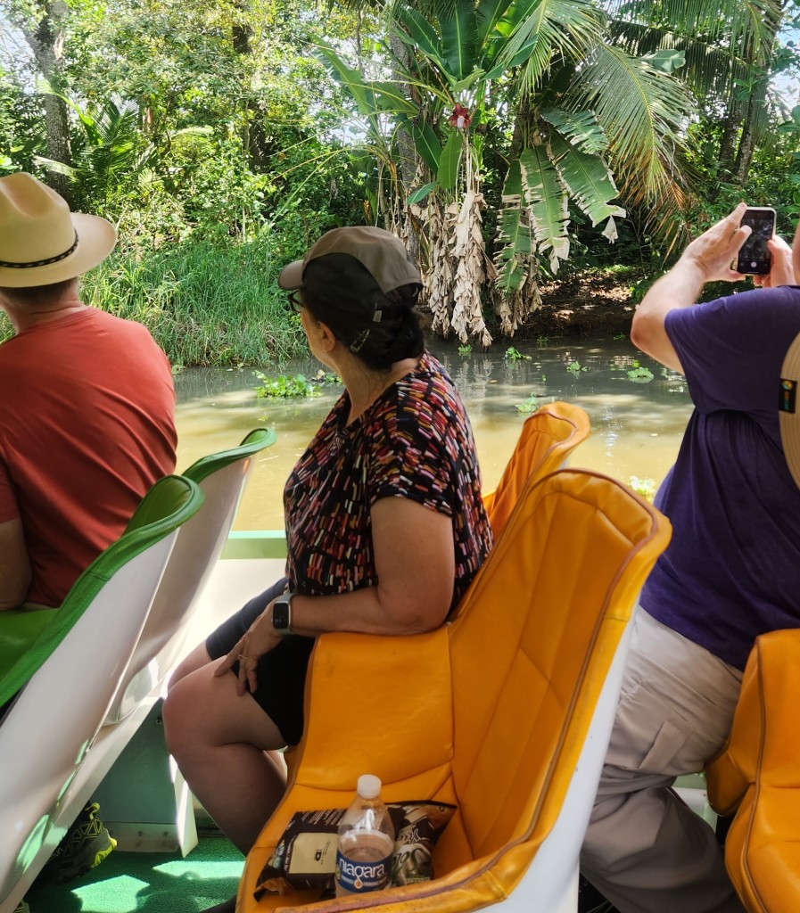
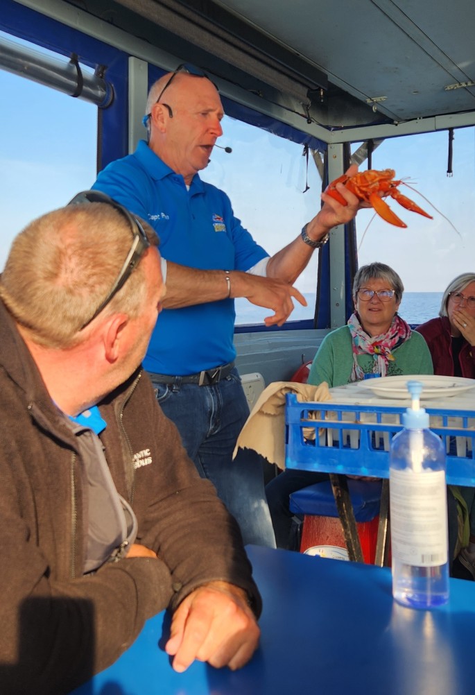
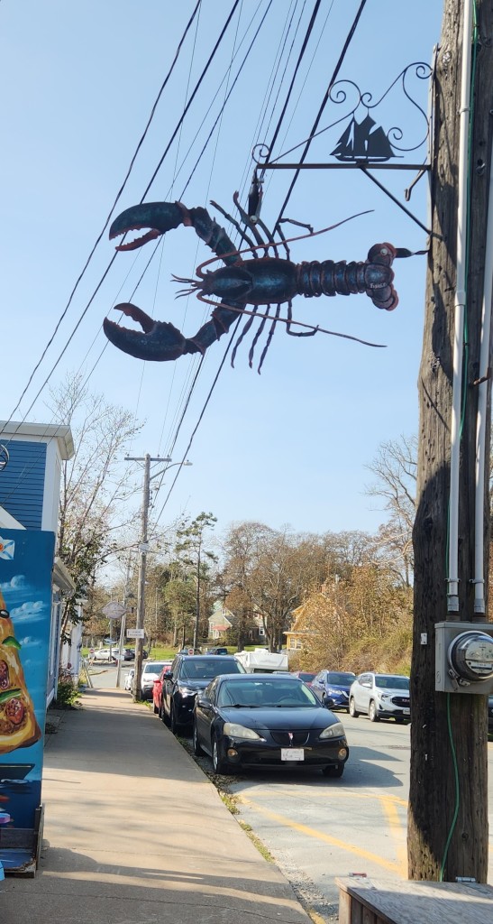
After our visit to the Hopewell Rocks, we rode the motorcoach back up the Petitcodiac to Moncton and then on to Shediac, on the northern coast of New Brunswick. It was interesting to learn that the river flows backward as the high tide develops each day, then reverts to its normal course as the tide recedes again. After a brief stop at the Homarus Center to visit the world’s largest lobster, we boarded a boat operated by Croisieres Shediac Bay Cruises. Why is there an enormous lobster in Shediac? The city bills itself as the Lobster Capital of the World, of course!
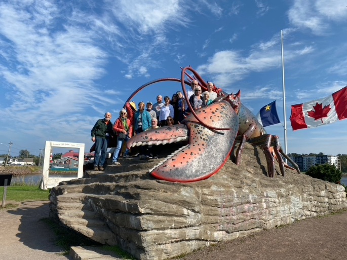
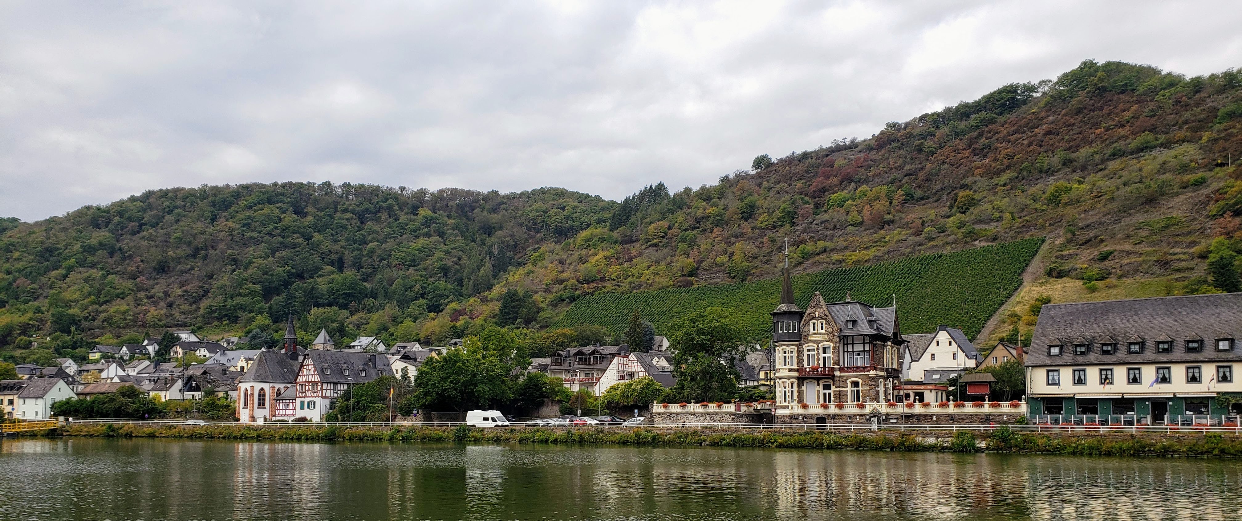
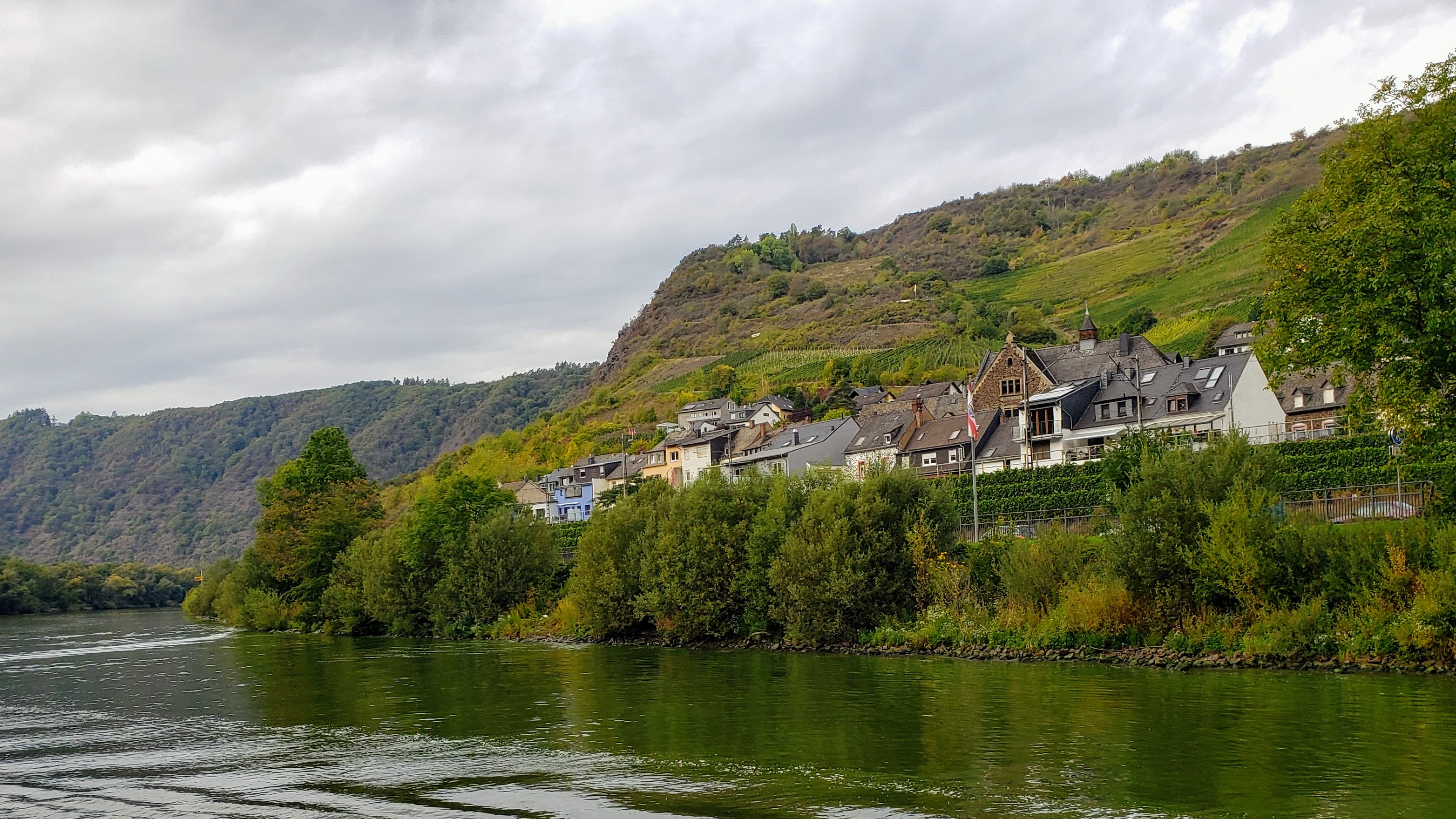
NOTE: In an earlier version of Part 2, I made a mistake in my reporting. The photo above was taken in Shediac on Sunday, not in Borden-Carleton, PEI, on Saturday as I previously claimed. My apologies for the error, now corrected, which was no doubt caused by my age-impaired memory.
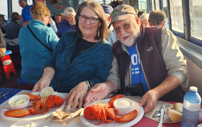
On the lobster cruise, we listened to a fascinating presentation on lobster fishing by the cruise boat owner, Ron Cormier, himself a long-time lobsterman. Since more than half of the passengers on the boat were from France, Captain Ron switched back and forth effortlessly from French to English and back as he went through his narration. We learned how modern lobster fishing employs conservation techniques to ensure that only mature lobsters are caught. This came about as advancing technologies led to overfishing, which nearly decimated the lobster industry in the latter part of the 20th century. Today, lobster fishing in the southern Gulf of St. Lawrence follows a sustainable model under which fishermen can make a good living. After Captain Ron’s presentation, we were treated to the most delicious lobster dinner Pat and I have ever had anywhere.
After the cruise, we returned to the Delta Hotel in Moncton, and I went on a brief stroll around the area to hunt for someplace that sold Dr. Pepper, to support my morning addiction. No luck, though. Not many places in Canada actually carry that most delicious of beverages, so I had to settle for a Pepsi purchased at the hotel front desk.
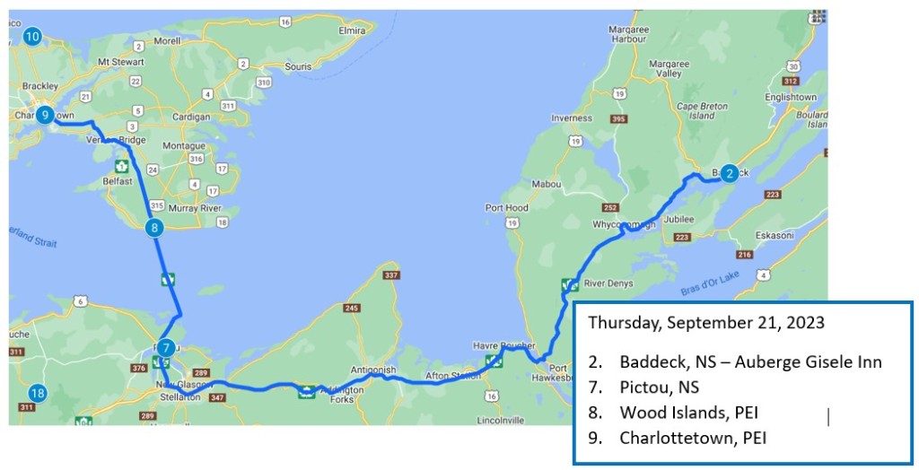
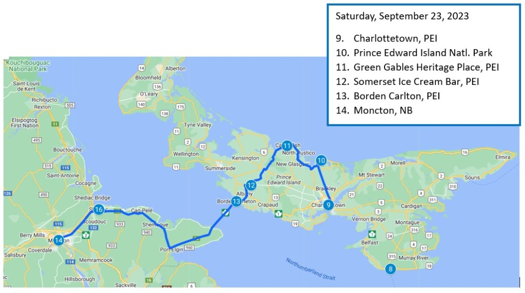
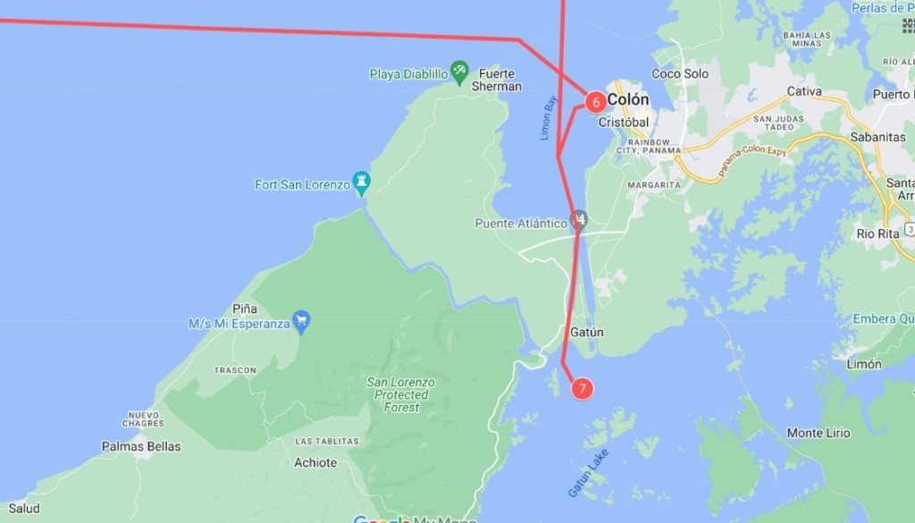
Here’s a map of Sunday’s travels:
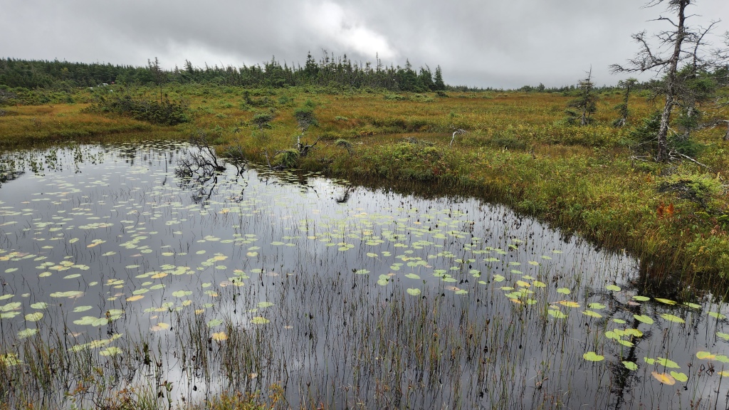
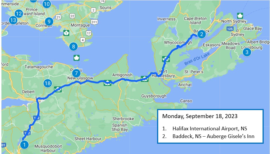
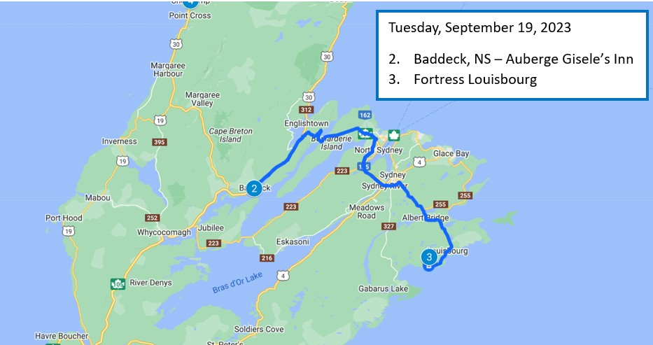
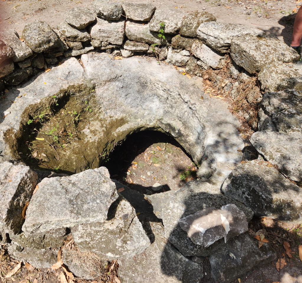
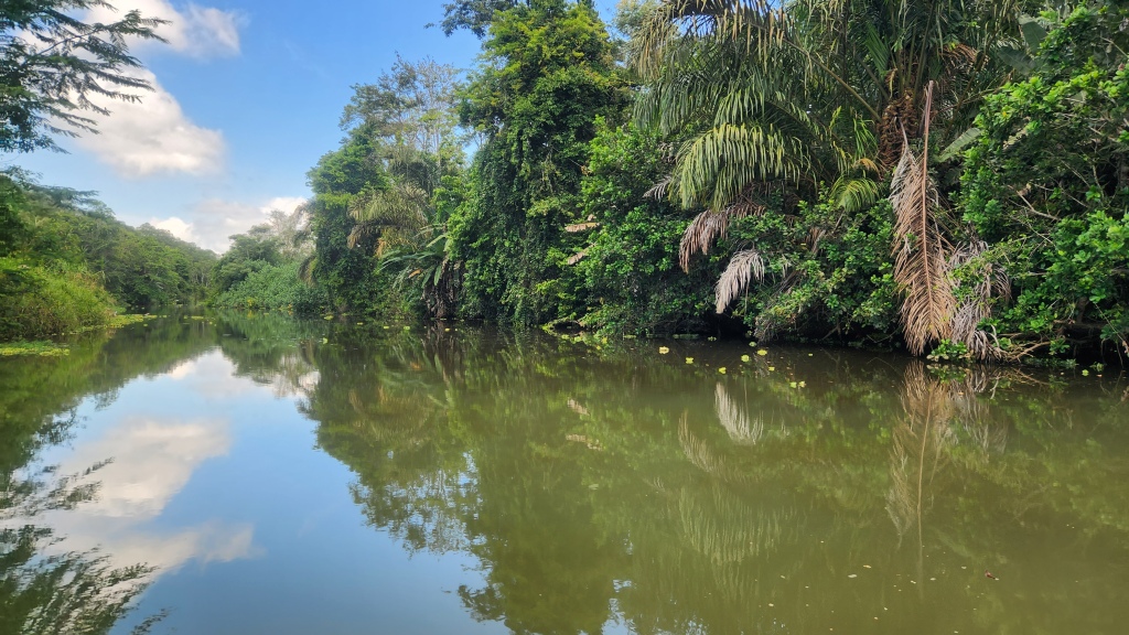
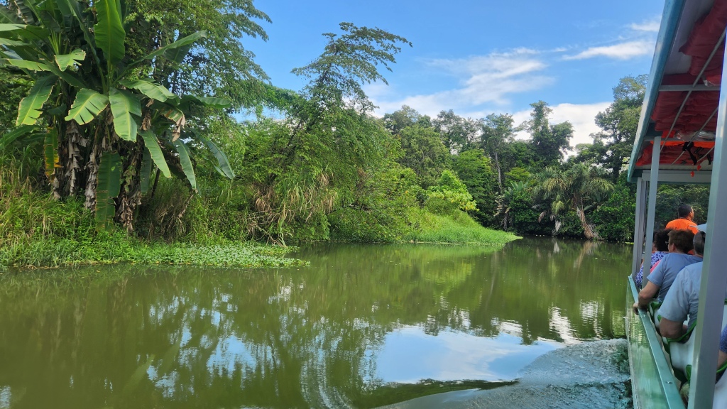
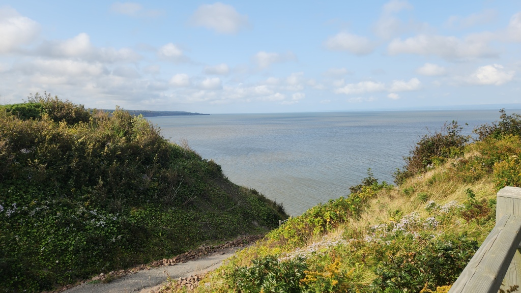
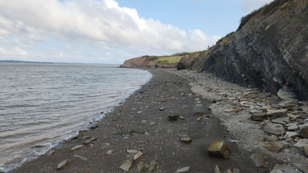
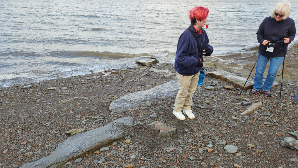
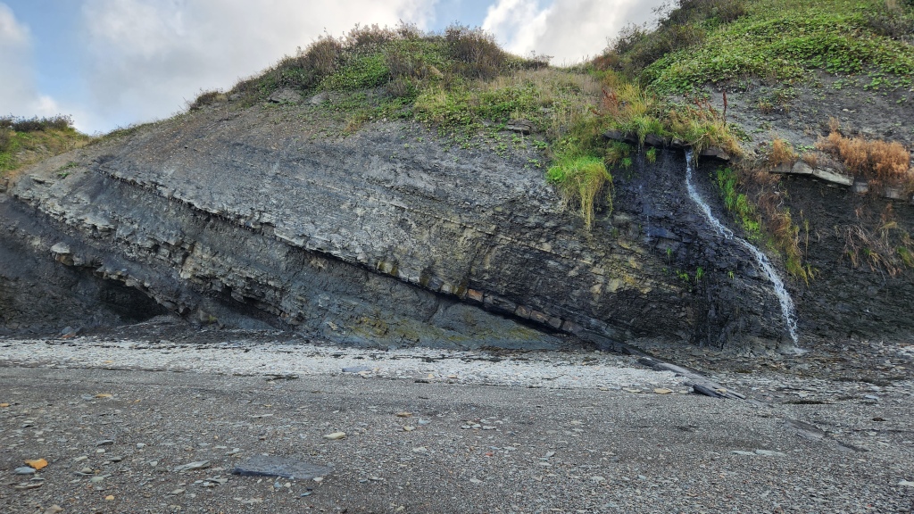
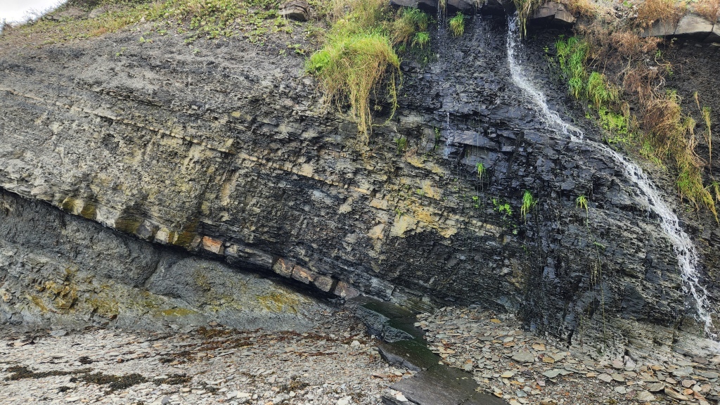
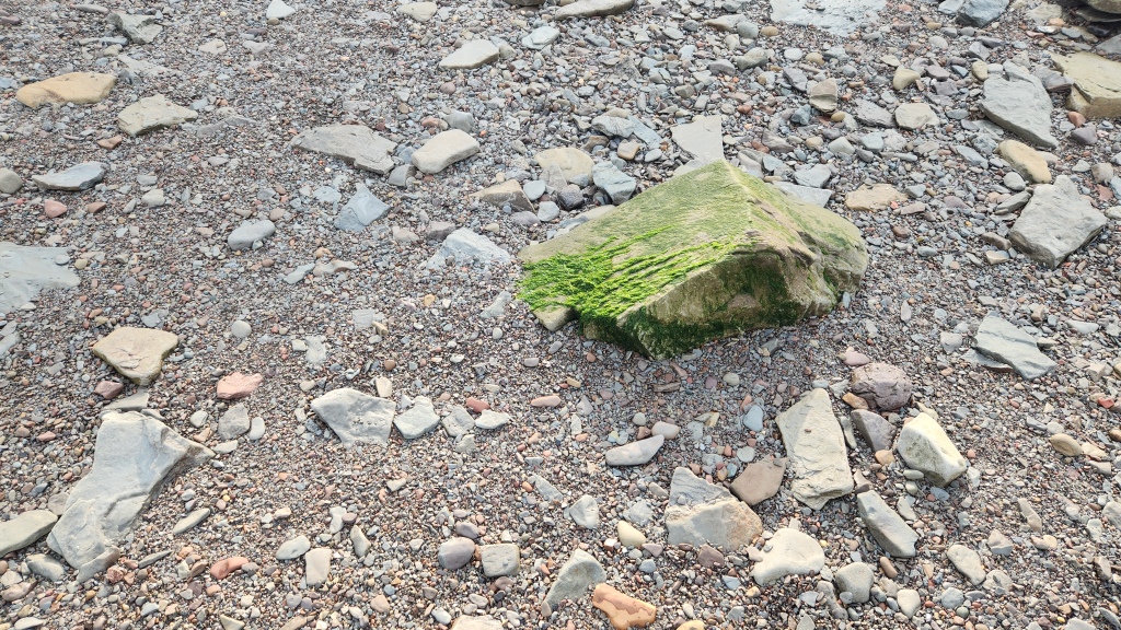
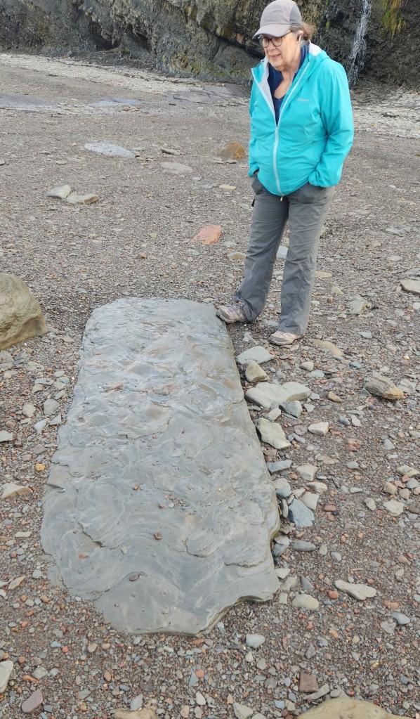
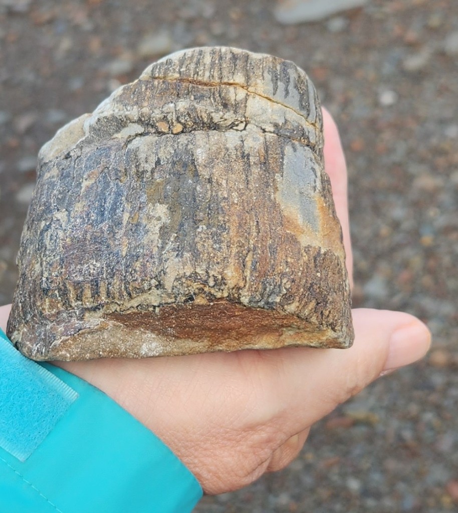
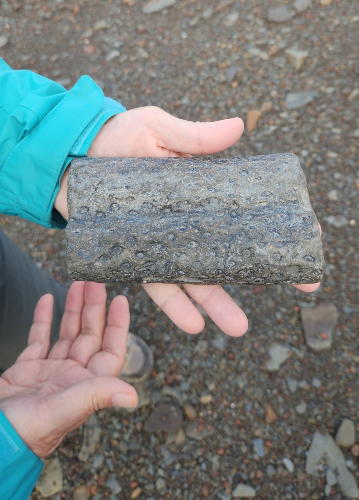
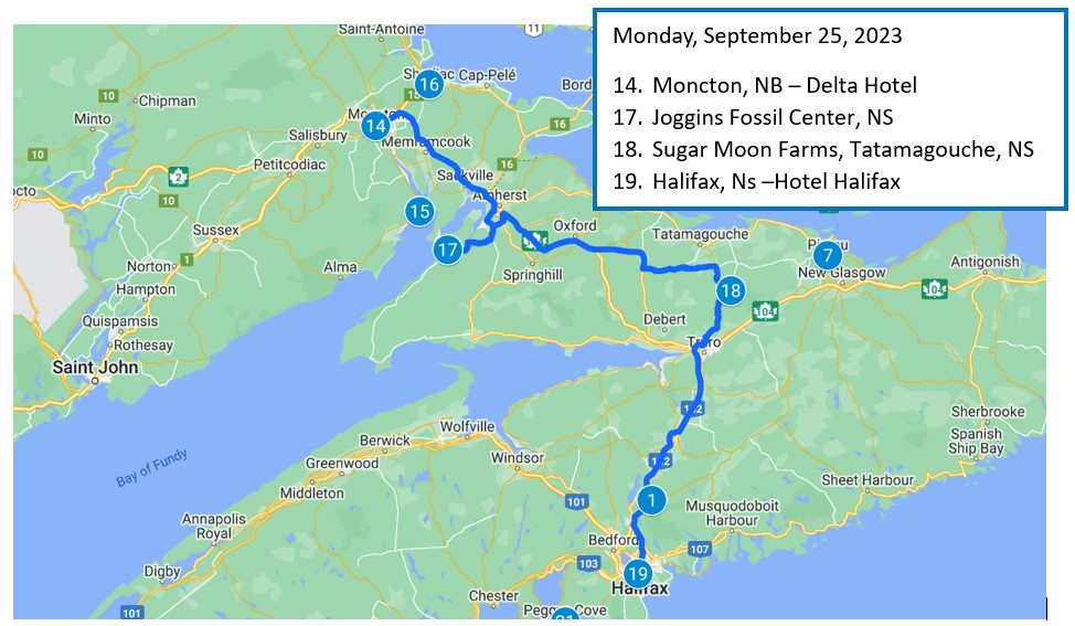
Monday, September 25, 2023: On Monday, we again had breakfast at the Delta Hotel before checking out and heading off on the motorcoach once more. Our first stop was at the Joggins Fossil Center, on the Nova Scotia side of the Bay of Fundy. At Joggins, the highest tides in the world reveal the most complete fossil record of the “Coal Age,” 100 million years before the dinosaurs. The site includes an excellent museum, which we visited before heading to the beach with a very young, but also very knowledgeable, local guide. The beach was fascinating, strewn with rocks of assorted sizes and shapes and quite a few fossils. The exposed cliffsides were also fascinating, with vegetation growing above the high tide line and small waterfalls issuing from the rock walls.
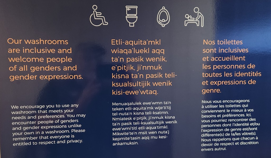
The Canadian spirit of inclusion was especially evident in the museum restrooms, as illustrated by this sign on the wall. Imagine the reaction of a member of the US House of Representatives Freedom Caucus upon encountering that sign: not only is it presented in multiple languages, but it hints at the possibility of encountering someone not exactly like him or her inside. Precious!
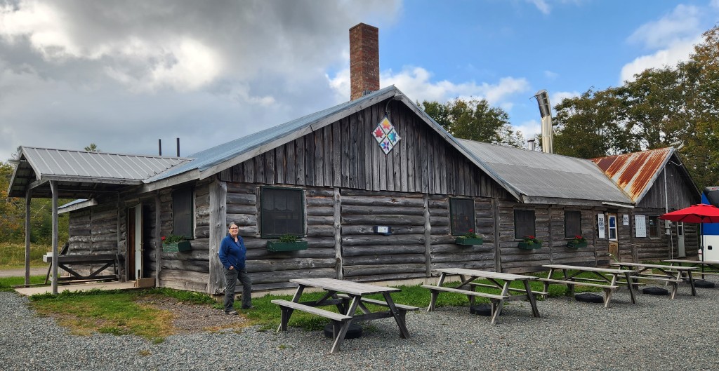
After Joggins, we headed east. We made a brief rest stop at a place called the Masstown Market, sort of a combination garden supply store, restaurant, and mini-mart. I was delighted to discover that they sold Dr. Pepper, so I snagged a couple of bottles to feed my habit for the rest of the trip. Our next stop was the Sugar Moon Farm, a maple syrup producer and restaurant, where we had a tour of the manufacturing and bottling facilities followed by an excellent lunch.
Then it was off to Halifax, where we checked in at the Hotel Halifax before walking to a nearby restaurant, the Baton Rouge Grillhouse and Bar, for dinner. After dinner, Pat and I stopped off in the hotel bar for a nightcap. I figured that a guy ought to be able to find a decent single malt Scotch in the biggest city in Nova Scotia, what with all the Scotsmen populating the place. My faith was rewarded with a dram of Lagavulin 16-year, which was incidentally the only adult beverage I had on the entire trip. Quite a contrast to Pat and Dave’s Tremendous Tropical Trek!
Here’s a map of Monday’s travels:
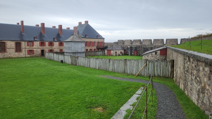
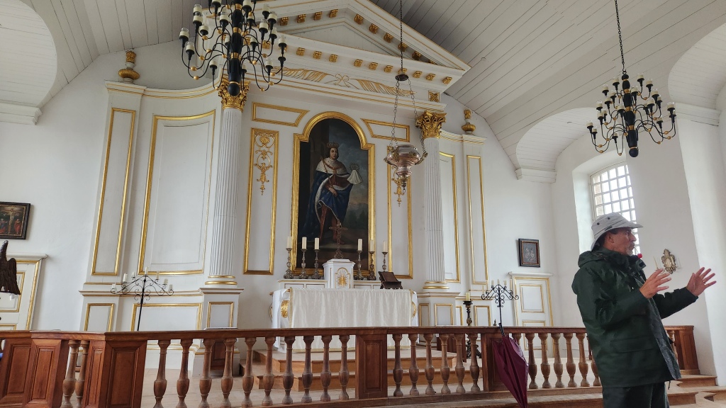
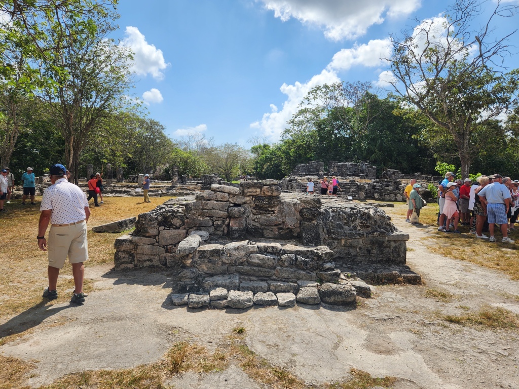
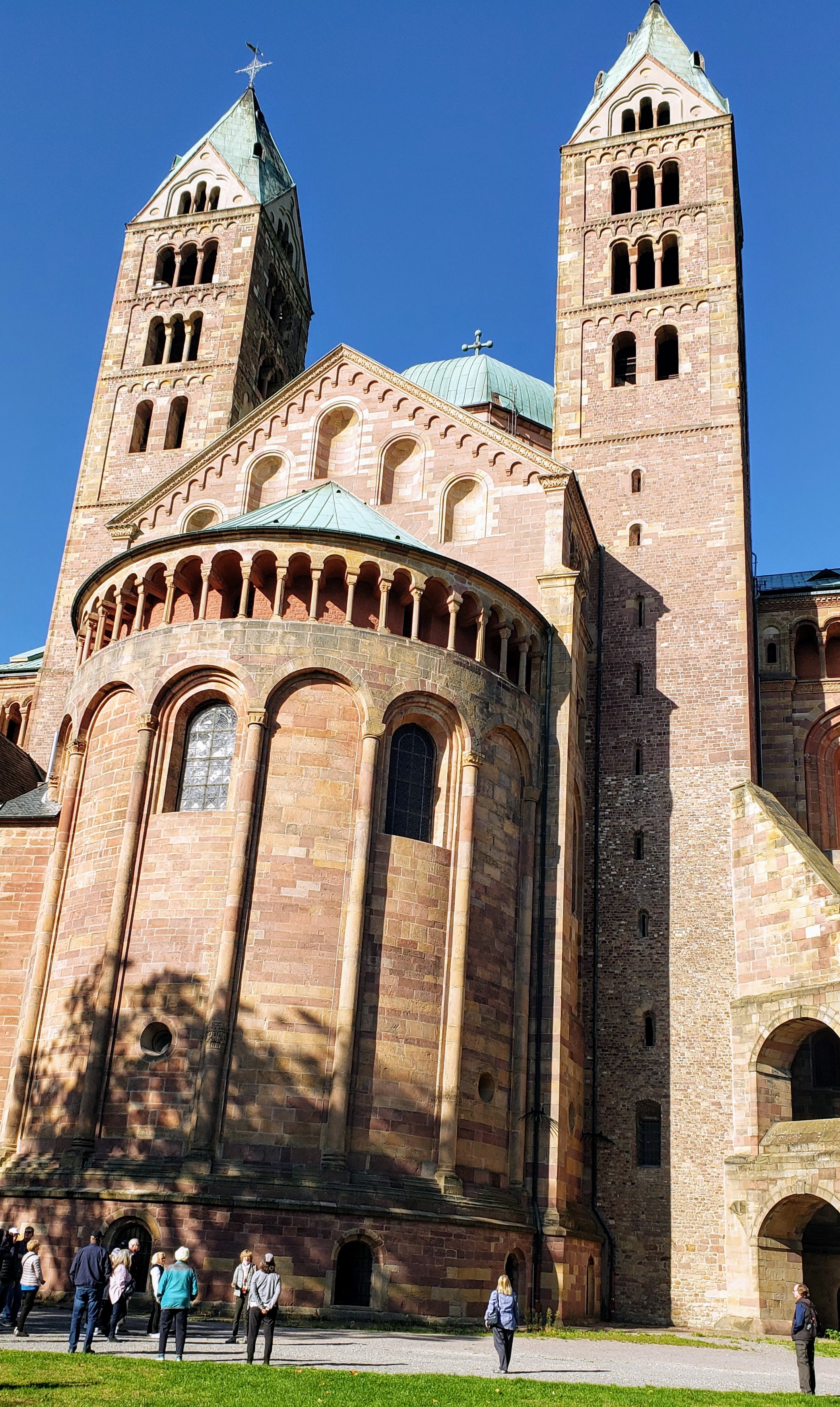
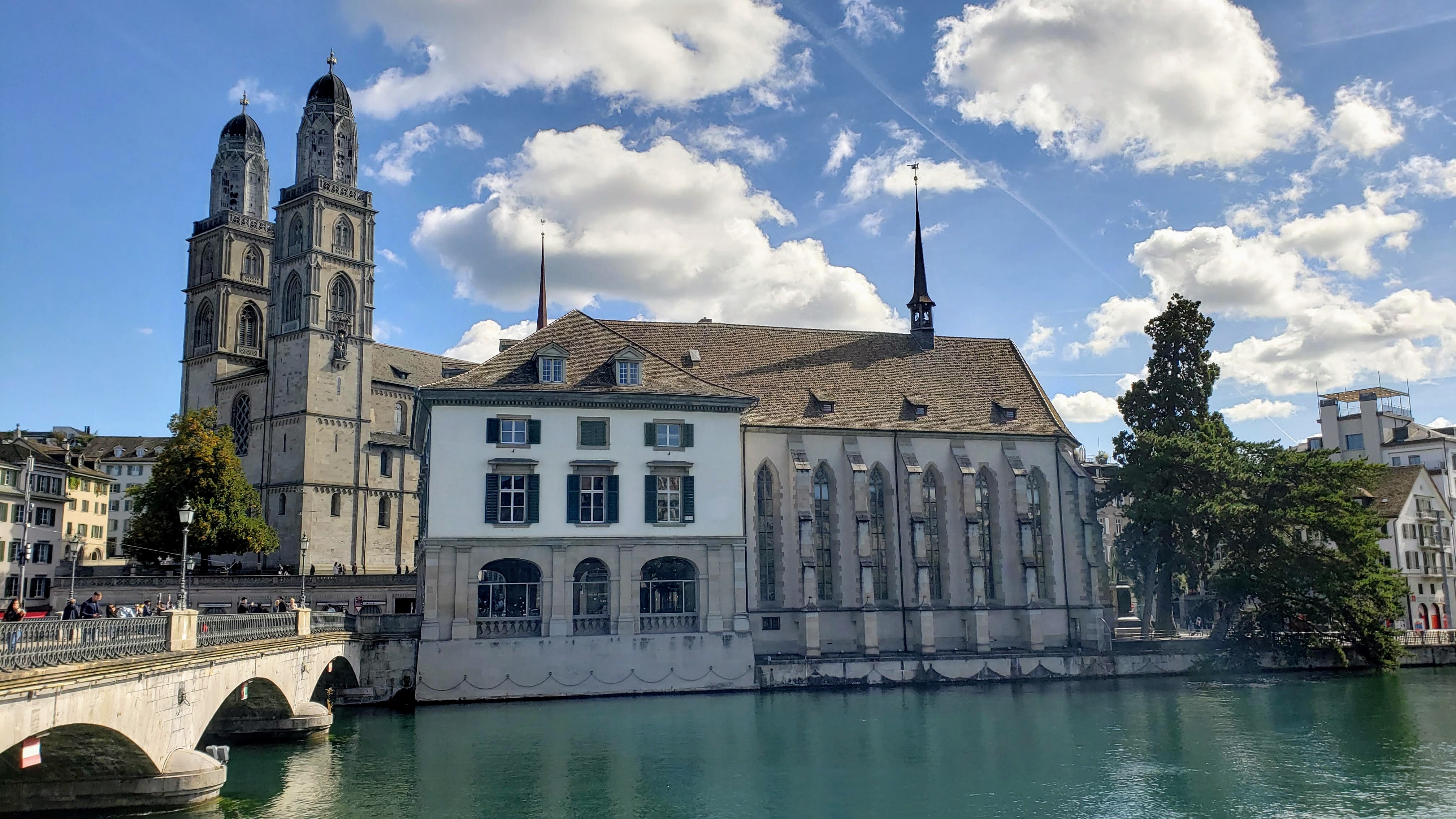
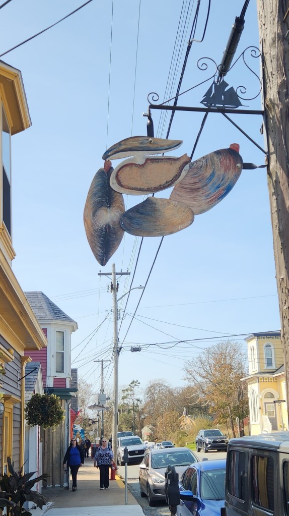
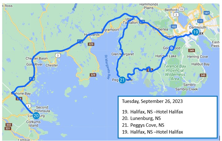
Tuesday, September 26, 2023: On Tuesday morning, after breakfast at the hotel, we departed for our last two tour sites in Noval Scotia. The first stop was at Lunenburg, a port on Nova Scotia’s southern coast. Lunenburg is the best surviving example of a planned British colonial settlement in North America. Established in 1753, the city has retained its original layout and overall appearance, based on a rectangular grid pattern drawn up by absentee landlords in England who had no idea of the actual topography. It is one of only two urban communities in North America designated as a UNESCO World Heritage site.
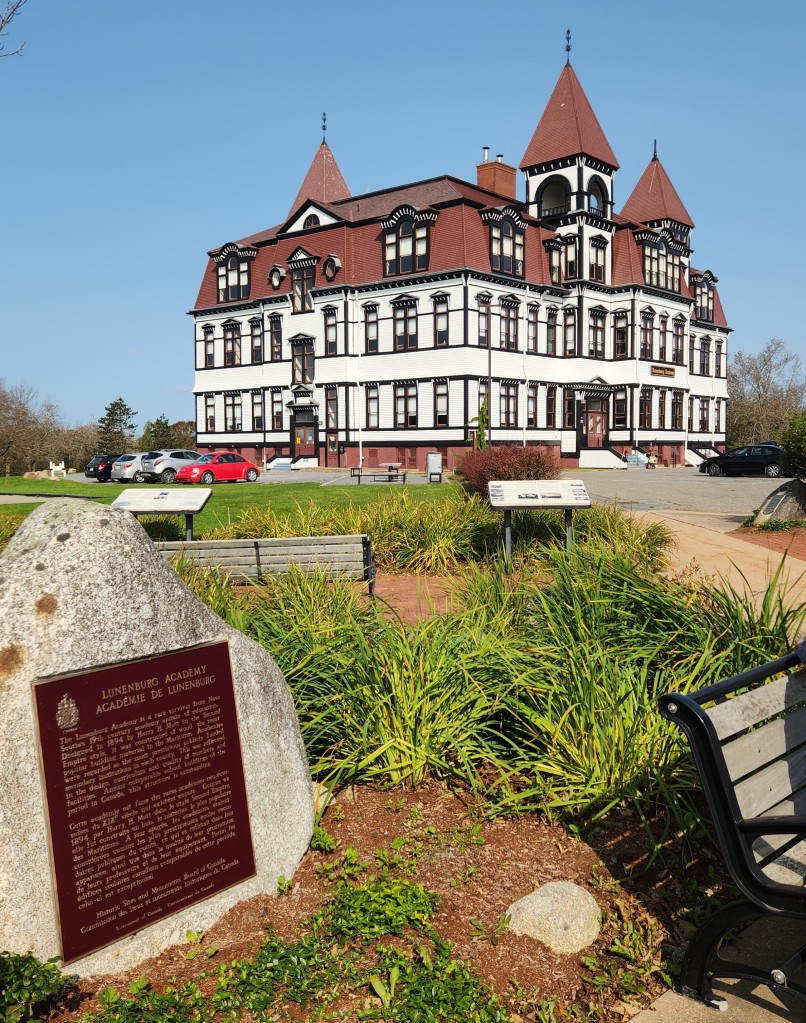
We began with a walking tour of the city, starting at the Lunenburg Academy, a historic school building constructed in 1895 to replace a building that had been destroyed by fire. The academy operated as a school from 1895 until 2012, when the Town of Lunenburg took over the property. It was designated a National Historic Site in 1983 for its distinctive Second Empire architectural features and its illustration of Nova Scotia’s education system in the 19th century. As of 2019, the building houses a library and music school, and restoration efforts are ongoing. By the way, local lore has it that the schoolhouse is haunted.
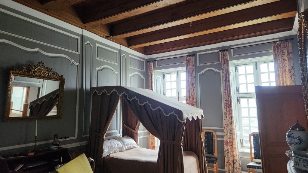
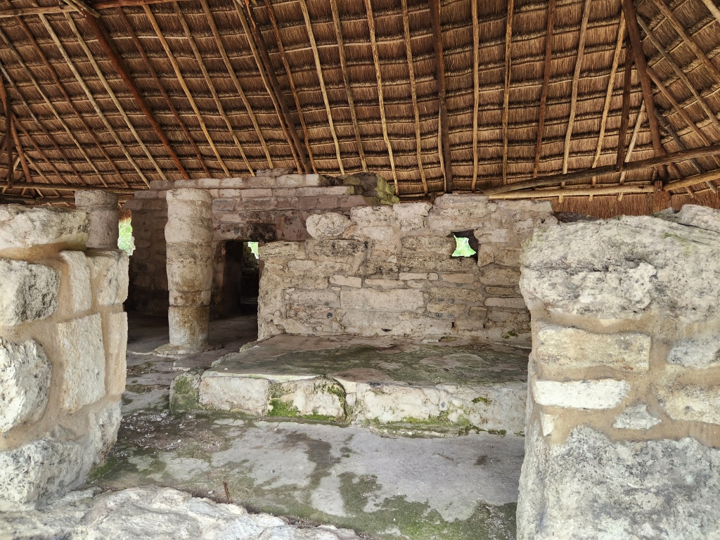
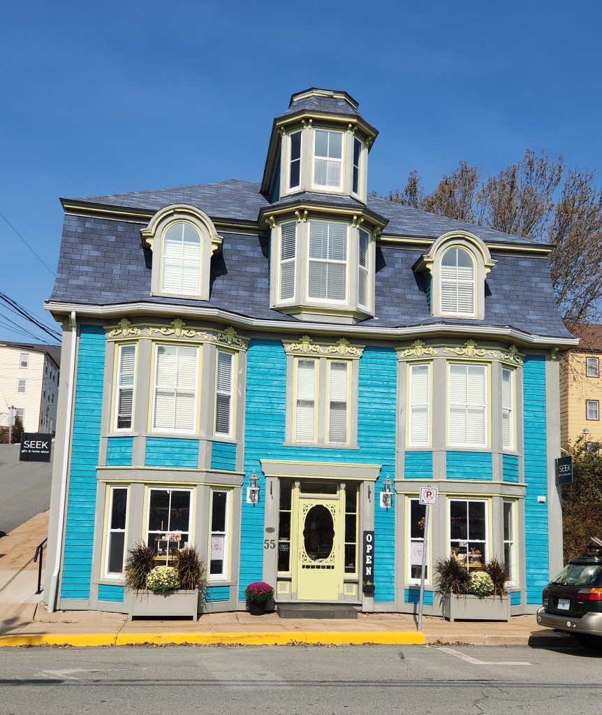
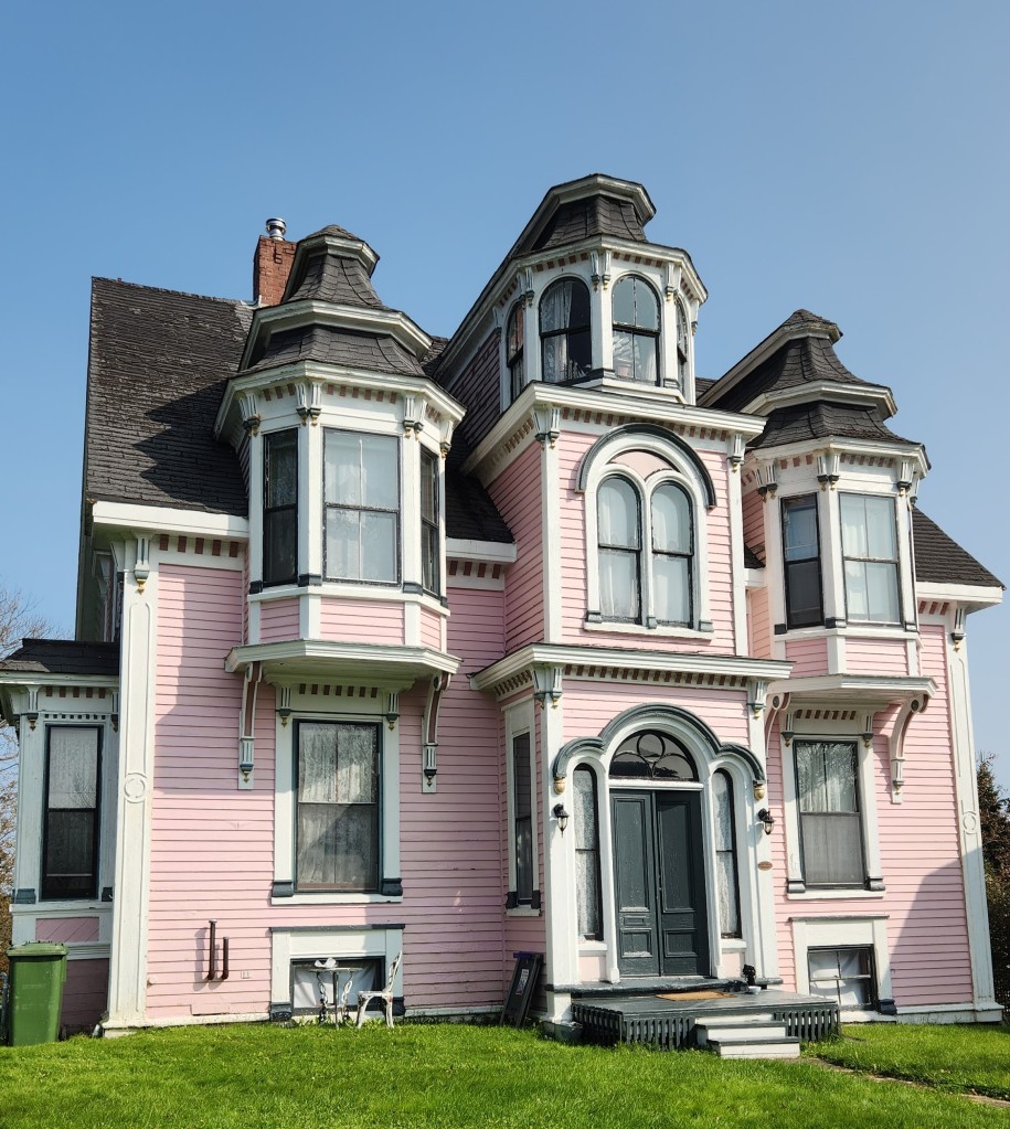
We saw well-preserved, historic homes along the way, many of which incorporate enclosed front entry porches – a unique Lunenburg design feature.
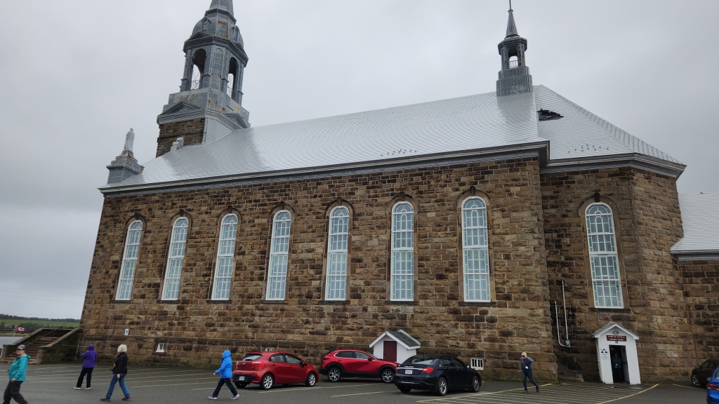
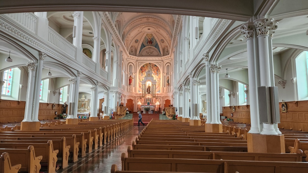
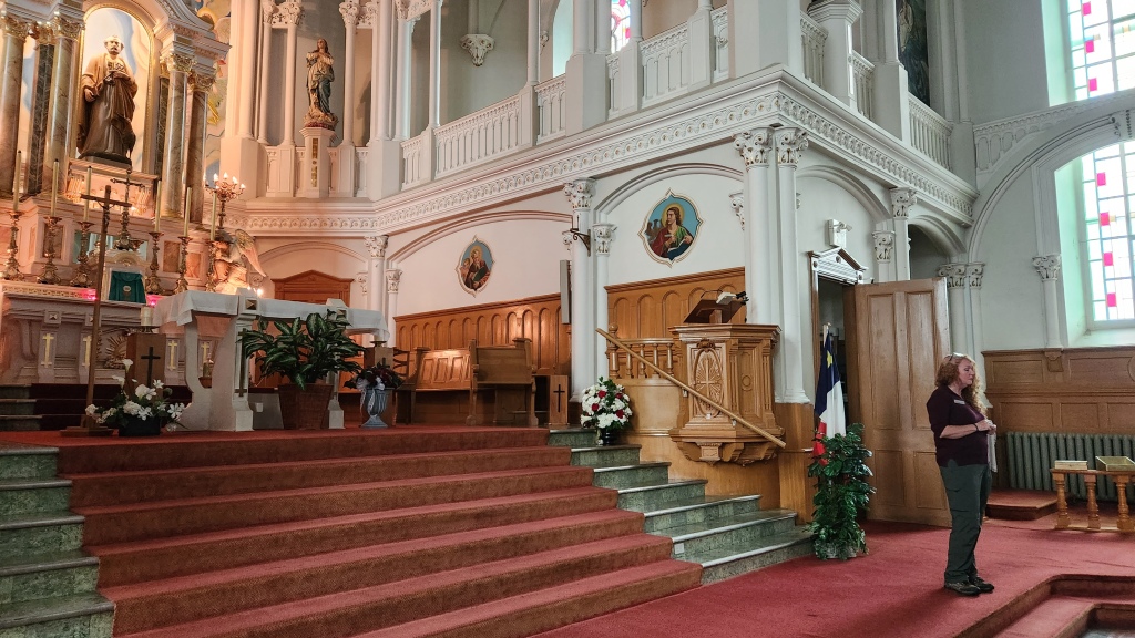
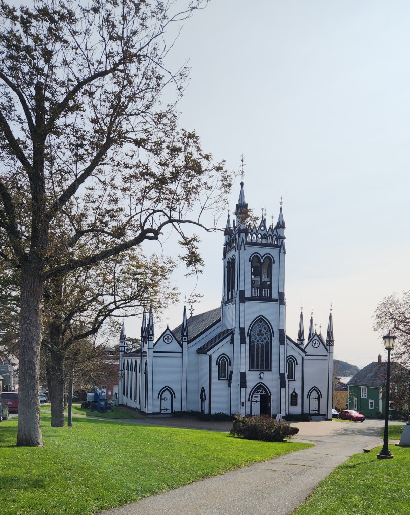
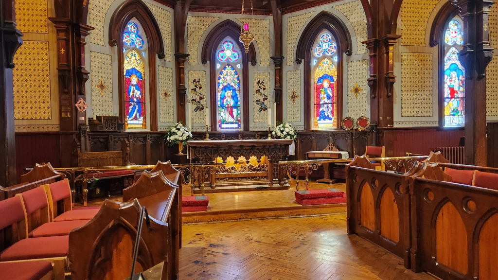
We also toured St. John’s Anglican Church; originally built in 1753, it is the second oldest continuous Protestant church in present-day Canada. It was destroyed by fire in 2001 but subsequently restored to its former glory, reusing many parts that were rescued from the blaze.
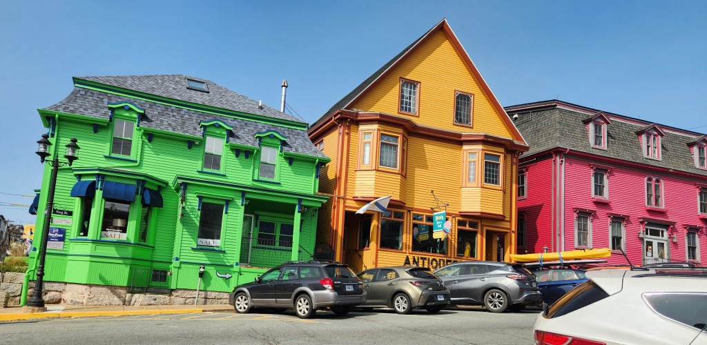
As we neared the harbor, we passed along a street lined with brightly colored buildings, which have become a symbol of the city over the past decades.
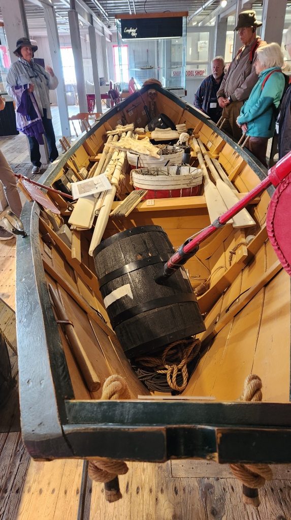
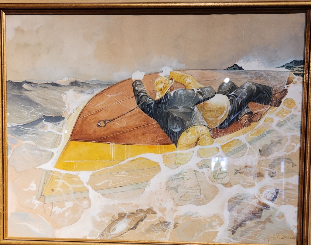
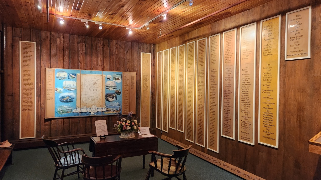
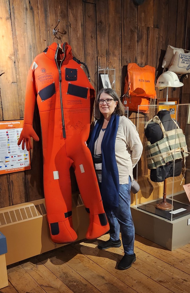
Next, we visited the Fisheries Museum of the Atlantic, with exhibits illustrating the history of cod and lobster fishing in Nova Scotia. Cod fishing was a huge part of Lunenburg’s early economy, but the working conditions for the fishermen were horrific – two-man crews worked endless hours in tiny boats far from the relative safety of the fishing schooners. Safety protocols and equipment were eventually introduced after the so-called August Gales of 1926 and 1927, when the “Graveyard of the Atlantic” claimed the lives of the crews of six Lunenburg schooners and an American schooner, and fishermen refused to work until reforms to the hazardous methods were instituted. Thankfully, today’s fishing practices are a far cry from the brutal past.
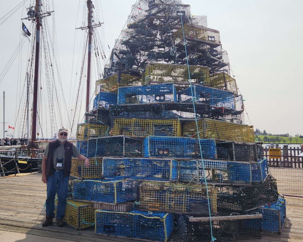
After the museum tour, we explored Lunenburg on our own for two hours, finding a nice restaurant for lunch and strolling through the town admiring the quaint décor, such as the Christmas tree made from lobster traps and the streets named for various species of fish.
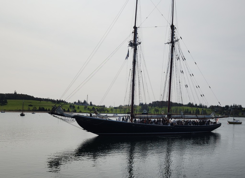
We also watched the Blue Nose II, a replica of the famous racing schooner, depart with a boatload of passengers for a tour. The original Blue Nose was built at the Smith and Rhuland Shipyard in Lunenburg in 1921 with the goal of winning the International Fisherman’s Race, a competition for the hard-working vessels of fishermen who made their living on the sea. Nova Scotia’s pride and shipbuilding reputation sailed with Bluenose, and she took home her first Fishermen’s Trophy in October of 1921. During the next 17 years, no challenger — American or Canadian — could wrest the trophy from Bluenose. She earned the title “Queen of the North Atlantic” and became a Canadian icon.
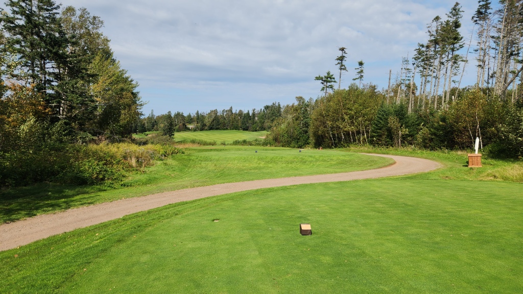
Perhaps sharp-eyed readers can see the Bluenose Golf Club in the picture above, located across the bay from the Lunenburg pier. This was just another reminder that there are plenty of courses to be found in the Maritimes, which might be reason enough to come back some day.
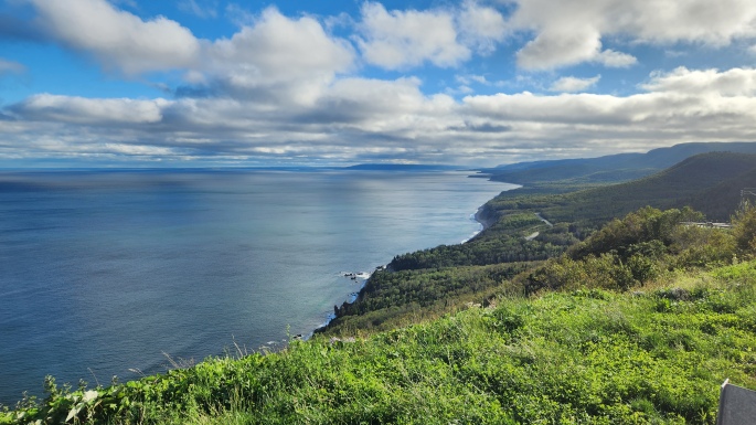
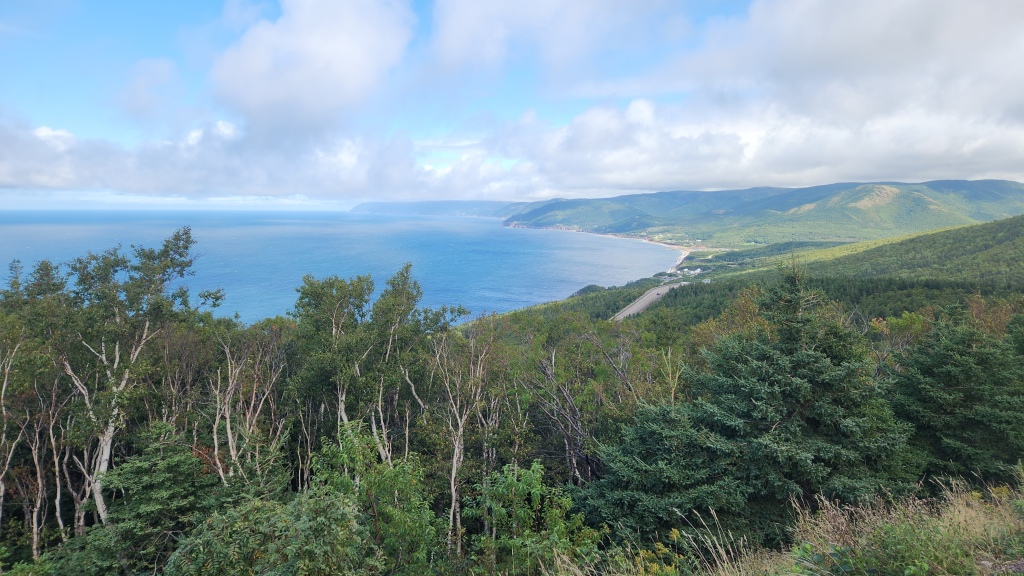
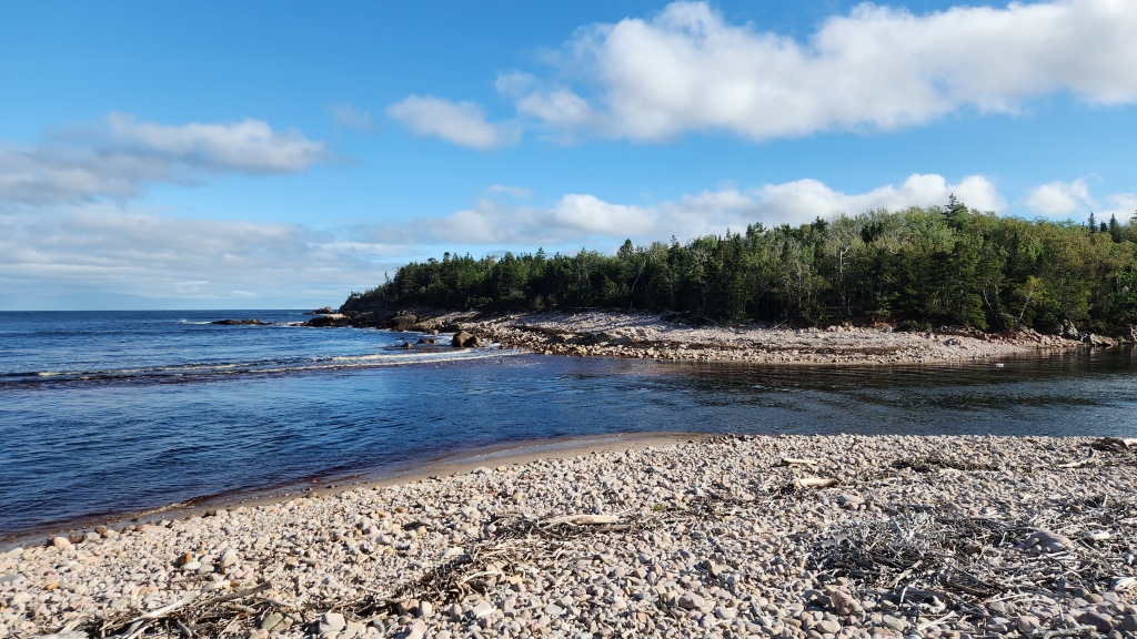
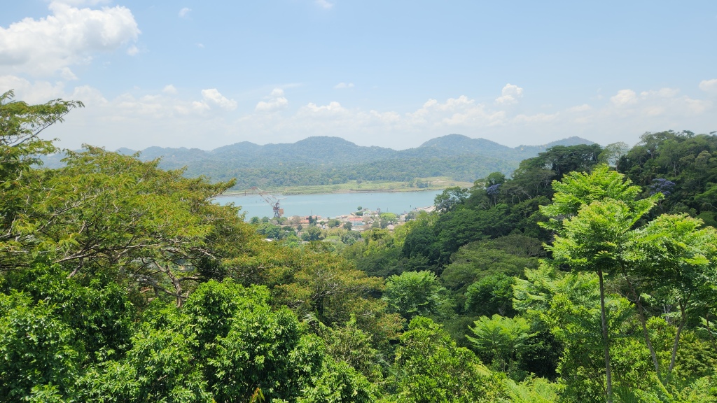
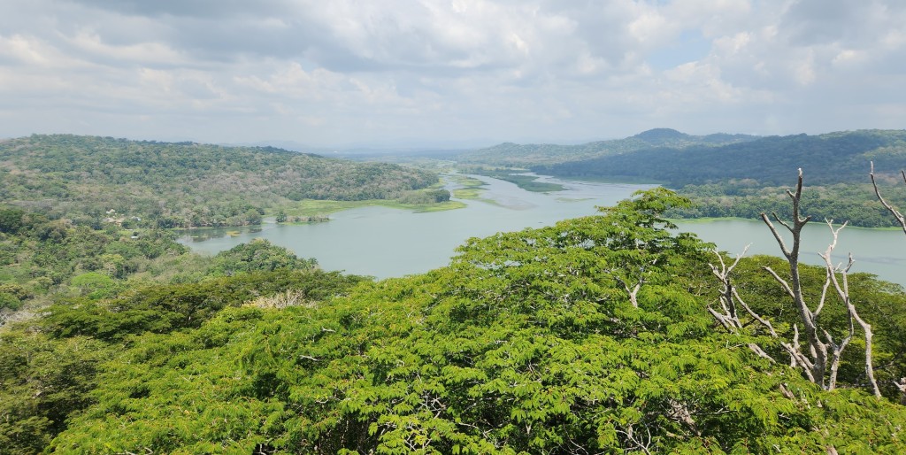
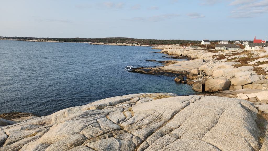
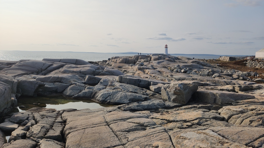
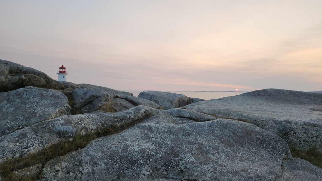
After our Lunenburg visit, we climbed aboard the bus for a journey to Peggys Cove, a small fishing village on St. Margaret’s Bay. As we neared the town, the landscape changed dramatically to feature a rugged, granite coastline. What caused this dramatically different geology? I’ll try to summarize what I’ve read about it. Some 470 million years ago, deposits of mud and sand were formed near the earth’s south pole. As the continents shifted across the surface of the earth, these deposits were compacted into shale and sandstone. When the African and North American continents collided, the Appalachian Mountain belt was formed. The shale and sandstone were crumpled and folded, and the heat of collision transformed them into slate and quartzite. Molten material from below the earth’s crust then flowed upward and crystallized into granite at least 370 million years ago. Over the next 350 million years, uplift, weathering, and erosion removed much of the slate and quartzite, exposing the granite once buried by the mountains, and the sea waters that flowed into the resulting valleys caused further erosion.
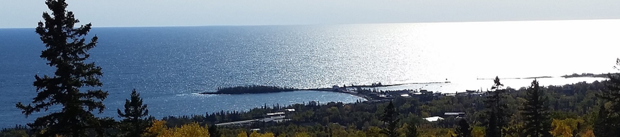
Whatever the cause, the Peggys Cove landscape is beautiful and fascinating. It reminded me of the rock formations along our beloved North Shore of Lake Superior, though my understanding is that those rocks are much older and primarily basalt formed from lava flows. But I’ll stop trying to describe this any further, pictures being worth thousands of words and all.
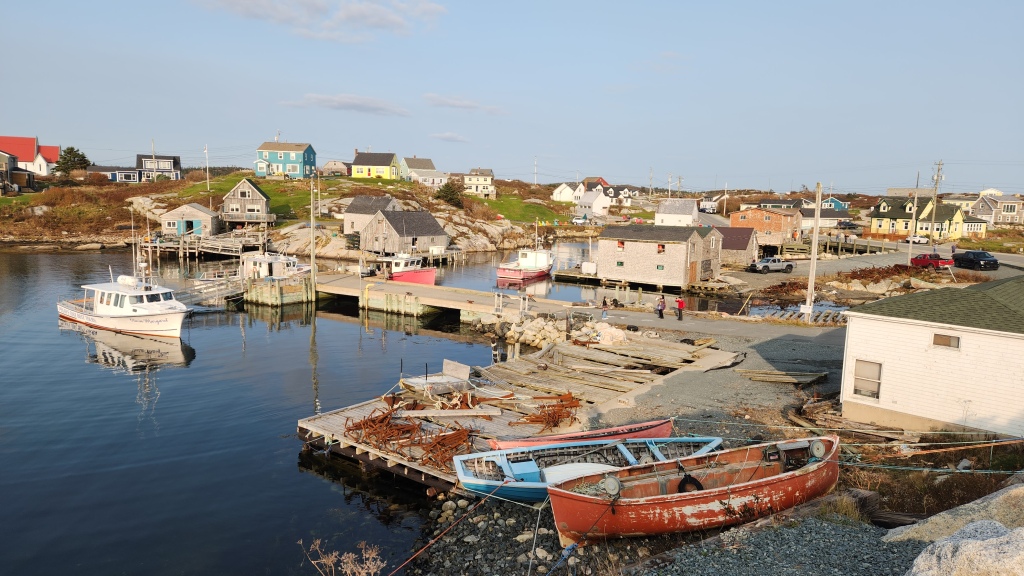
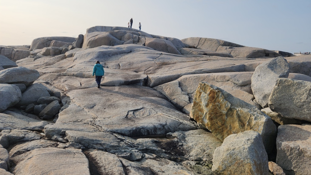
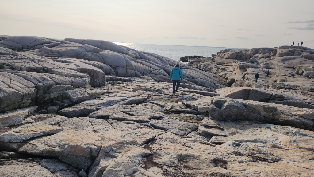
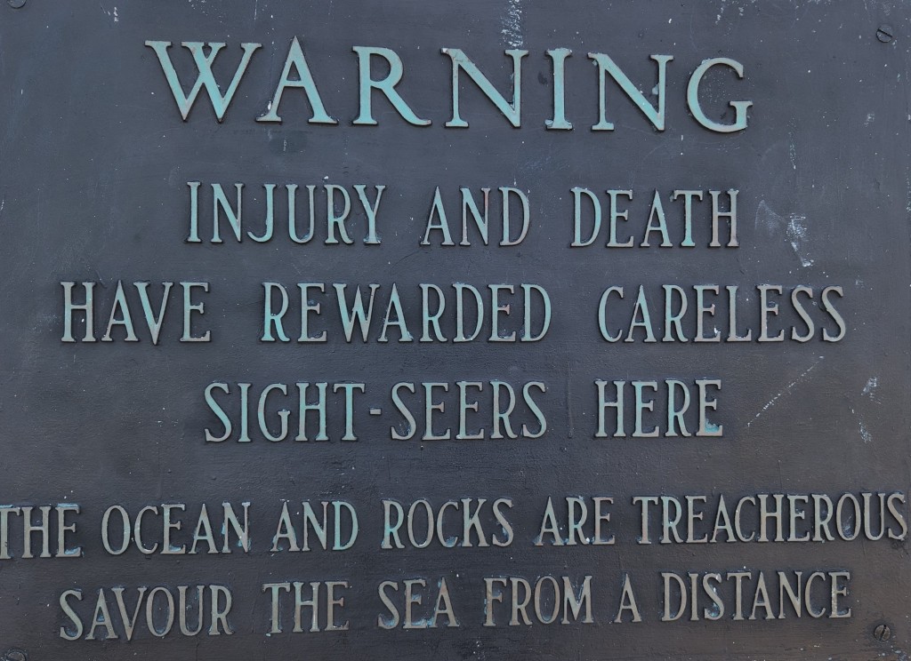
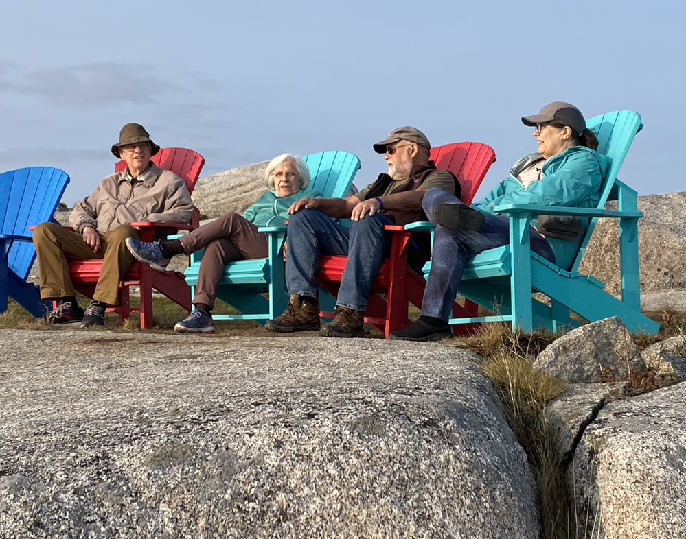
There are many signs warning of the hazards involved in exploring Peggys Cove, but we didn’t let those deter us. After some clambering about, we relaxed on the comfortable chairs set out for visitors until it was time for dinner.
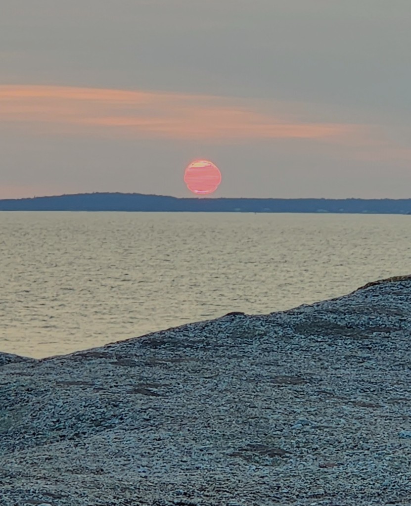
We had lobster at the large visitor’s center building, and although it was tasty, it was nowhere near as good as our feast on the Shediac Tour boat the day before. After dinner, we went back outside to watch the sunset before boarding the bus again.
On the way back to the Hotel Halifax, our bus driver, Kirby, entertained us all by missing a turn on one of the roundabouts – twice. He was clearly embarrassed, but all of us had done something like that before and were just glad to know that even professionals can sometimes find the occasional evil roundabout to be a challenge. Sadly, we had to bid Kirby adieu as we departed at the hotel, wishing him the best after eight nearly flawless days of Maritimes meandering.
Here’s a map of the day’s travels:
Wednesday, September 27, 2023: On Wednesday morning, we breakfasted with the remaining members of our tour group for the last time before heading to the Halifax Stanfield International Airport. I don’t have a map of the day’s travels, which, if I did, would show us Ubering to the airport some 32 miles north of the hotel, flying to Toronto, eating lunch in the Toronto airport (we just had to get another Shawarma wrap and a salad at that great place we discovered in Part 1), then flying on to Thunder Bay, retrieving the Tesla from long-term parking, and driving back to the cabin in Grand Marais. Not very exciting, but it gave us time to reflect on our Road Scholar program, The Best of the Canadian Maritimes. As we discussed the adventure, we enthusiastically rated it with two thumbs up.
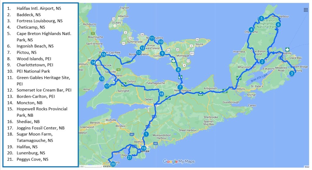
So, there you have it, dear readers, my complete report on Pat and Dave’s Magical Maritime Meanderings. To sum up, here is a map showing all of our destinations and travel routes in the Maritime Provinces.
We haven’t scheduled any further travels for a while, since I’m having total knee replacement surgery in mid-October (left knee) and hopefully in mid-January (right knee). What with the associated physical therapy, we assume I won’t be up for travel until spring, and then we’ll be heading back to Grand Marais. However, in December of 2024 we are booked on a Viking River Cruise along the River Duro in Portugal, which I will no doubt attempt to chronicle. All the best until then …