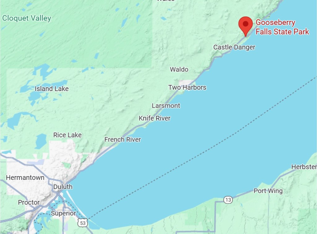
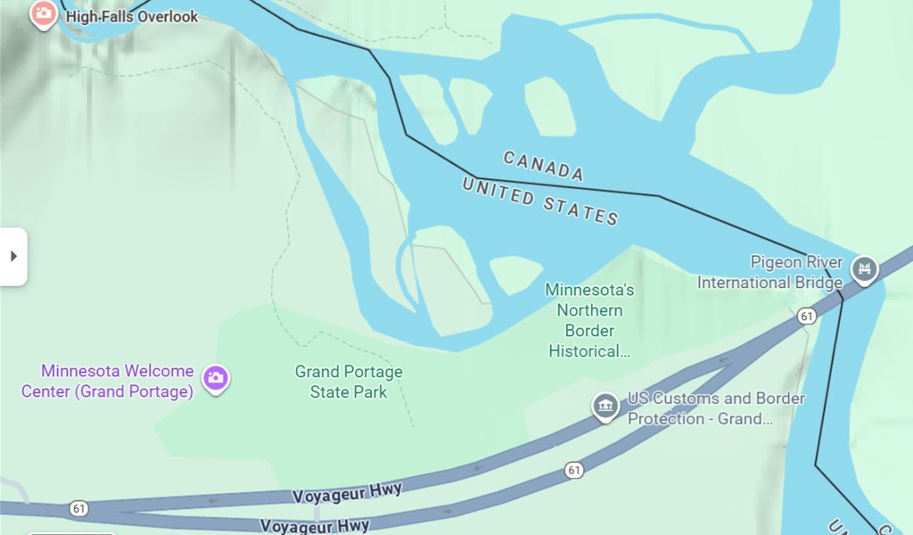
Overview: It seems that each year, as we grow older, winter in Minneapolis becomes less attractive. Last year, we went on a road trip during February and March, which I dubbed Pat and Dave’s Winter Warmup and documented in a four-part travelogue post. Since we thoroughly enjoyed it, we decided to do it again this year. Better prepared this year than last, I managed to secure a reservation for a six-week stay at the same place, the Canoa Ranch Golf Resort in Green Valley, AZ, from January 25th through March 6th.
As part of last year’s Winter Warmup, we also took a couple of weeks visiting various National Parks and other attractions on the way back home, so we decided to do a similar thing this year. Given the timing of this year’s trip, Pat suggested we go west to California after our stay at the Canoa Ranch Resort, specifically to Indian Wells so she could attend a few sessions of the BNP Paribas Open tennis tournament. I readily agreed, since I’d be able to play a couple rounds in the golfing paradise known as Palm Springs while she watched tennis. We had done the same thing previously, during Pat and Dave’s Excellent Adventure (Part 10), so this road trip was shaping up to be pretty much a repeat of things we’d already done in the past. However, we didn’t actually book anything other than the six-week stay in Green Valley and a three-day tennis tournament package at the Omni Rancho Las Palmas Resort in Palm Springs, including two all-day tickets and shuttle service for Pat to attend the tournament. We agreed to decide on other places to visit after that, depending on weather conditions and spur-of-the-moment impulses.
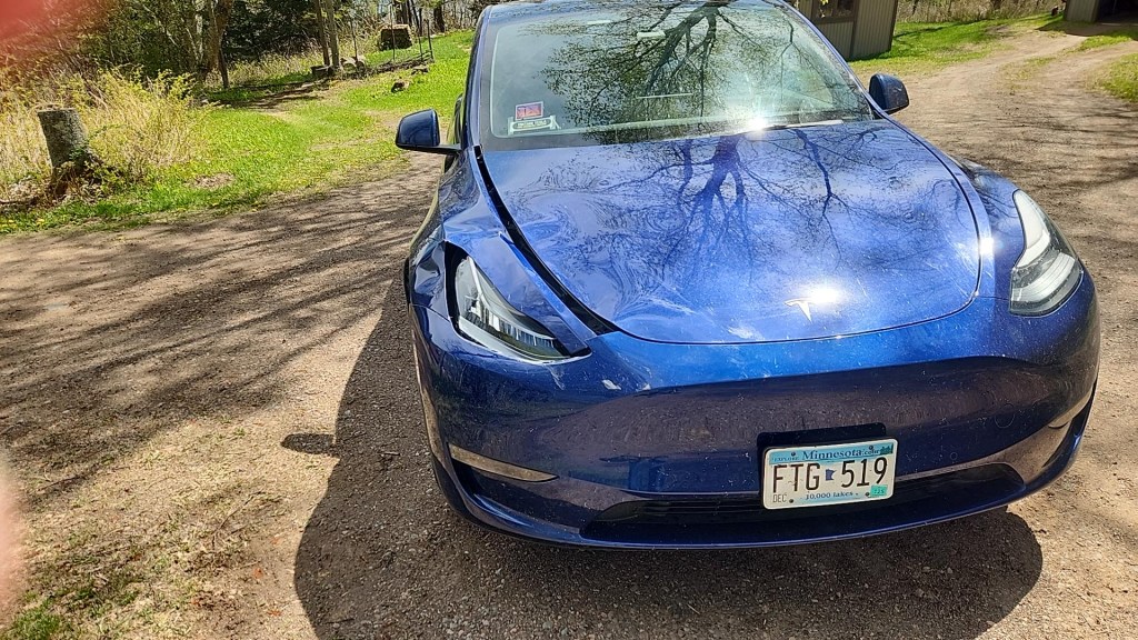
As our departure date neared, the cold weather in Minneapolis was wearing us down. To add to the misery, our beautiful city was invaded by a horde of out-of-control ICE agents, resulting in mass protests which only intensified after the murder of Renee Good on January 7th. We had planned to leave on January 20th, and as we began cramming stuff into our trusty 2020 Tesla Model Y and mounting our e-bikes on the bike rack, we were feeling very depressed and in desperate need of a getaway to someplace not only warmer but safer. On the other hand, we felt somewhat guilty abandoning our fellow citizens during such a time of need, so it was with mixed emotions that we set off on Tuesday morning, January 20, with the temperature hovering near zero Fahrenheit.
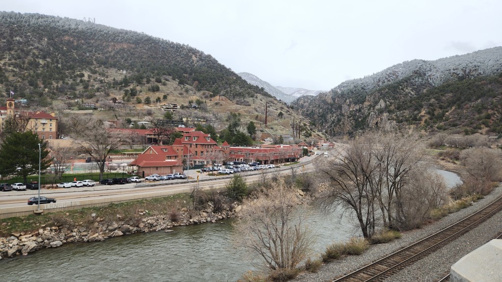
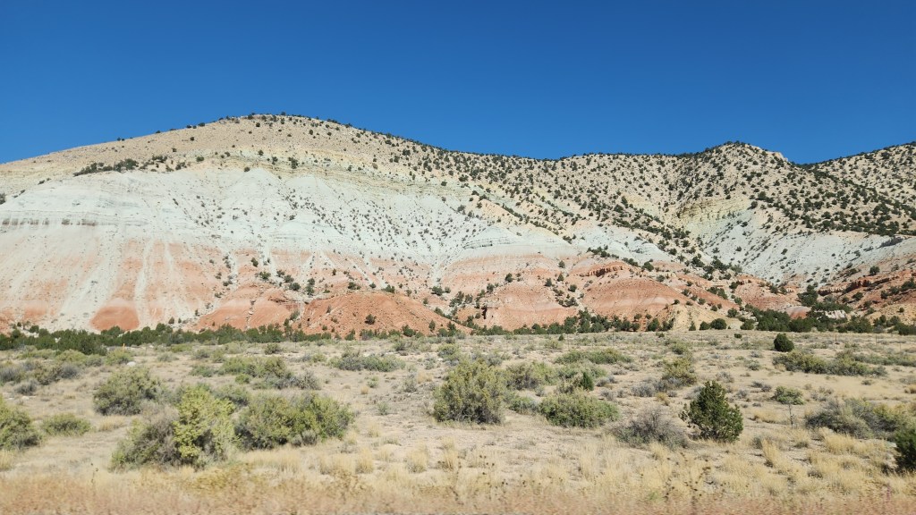
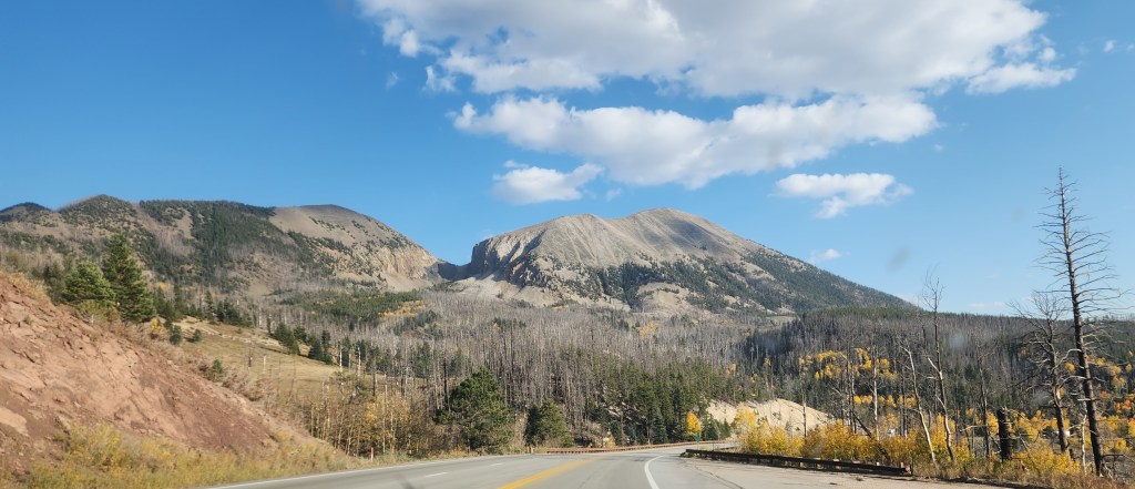
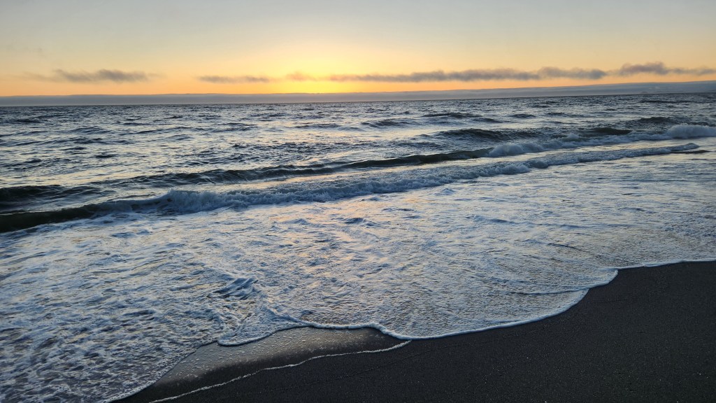
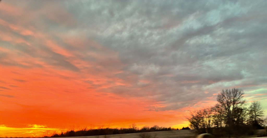
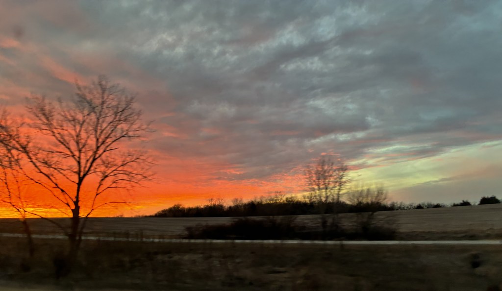
We had opted to take our older Tesla because it has a hitch receiver for our bike rack, and we wanted to bring our e-bikes along to enjoy during the six-week stay in Green Valley. We knew from past experience that the extra aerodynamic drag from the bikes would reduce the range of our EV, having used the bike rack during a trip to St. George, UT, back in 2022, but this time it was significantly worse because we had also encased the bikes in a protective cover that flapped away like mad behind the car. I’ll describe the effect on the car in considerable detail in the final episode of this travelogue, but for now suffice it to say that we barely made it to our first planned charging stop, a mere 92 miles away in Albert Lea, MN, and quickly realized that we were going to have to stop nearly twice as often as we’d hoped for car charging, turning the long road trip into a tedious series of short hops. At least we saw some interesting scenes along the way, such as this sunset as we passed into Missouri on Tuesday evening.
To make matters worse, a huge storm was developing along our planned route, so we needed to travel some 1300 miles – at least into New Mexico in order to beat the weather – in only three days rather than the four we had planned on. Wednesday the 21st was the worst day, as we left our hotel in Kansas City ay 8 AM and arrived at our hotel in Amarillo, TX, at 12:45 AM on Thursday. But as we settled in to a hotel in Las Cruces, NM, at 9:30 PM Thursday evening, we saw on the news that the route behind us had become unpassable due to unprecedented heavy snow, and it felt as though we had dodged a bullet.
As a result of this frantic dash, we arrived at the Canoa Ranch Resort two days earlier than our reserved date, travelling for most of the last day in steady rain that occasionally escalated to torrential downpours. Luckily, the resort was able to accommodate our early arrival, and we settled in to our rented condo on Friday the 23rd at 6:30 PM. By Saturday morning the rain had stopped and we began to look forward to some pleasant weather, although the news from home was terrible as another of our fellow Minneapolitans, Alex Pretti, was murdered by ICE and CBP agents. Our travel travails paled in insignificance compared to this depressing news, but we at least felt that we had escaped an intolerable situation and vowed to make the best of our good fortune.
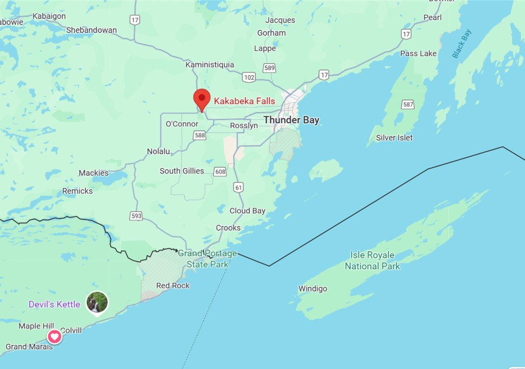
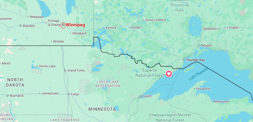
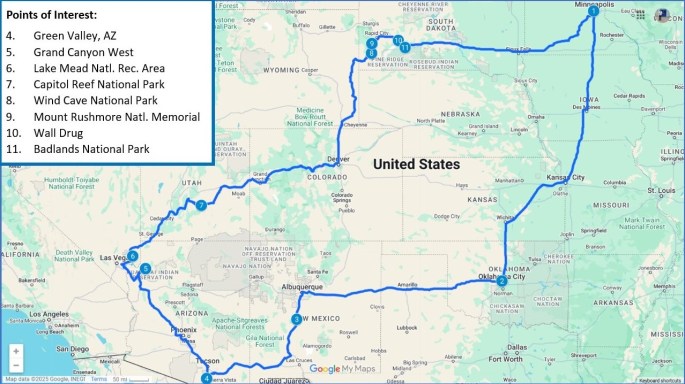
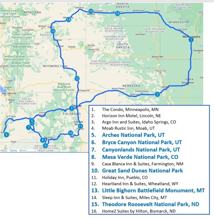
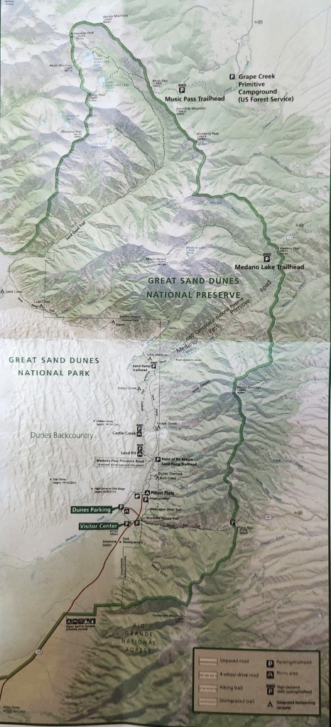
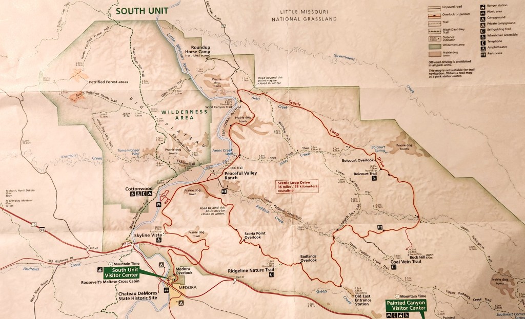
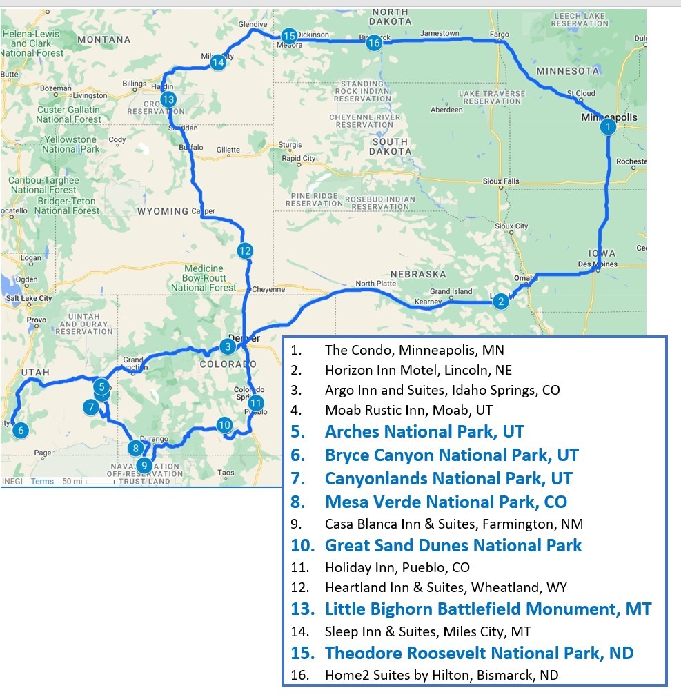
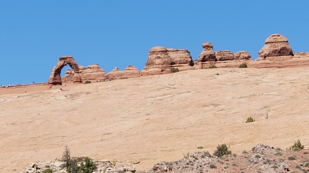
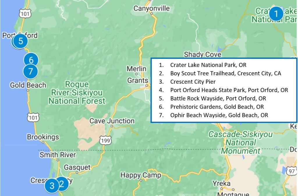
I won’t try to write a detailed chronological description of the (Almost) Redundant Road Trip Redo, especially since many of the days were quite uneventful, but I’ll try to capture the highlights. First off, here’s a map of the overall journey, which covered 6,600 miles over 65 days:
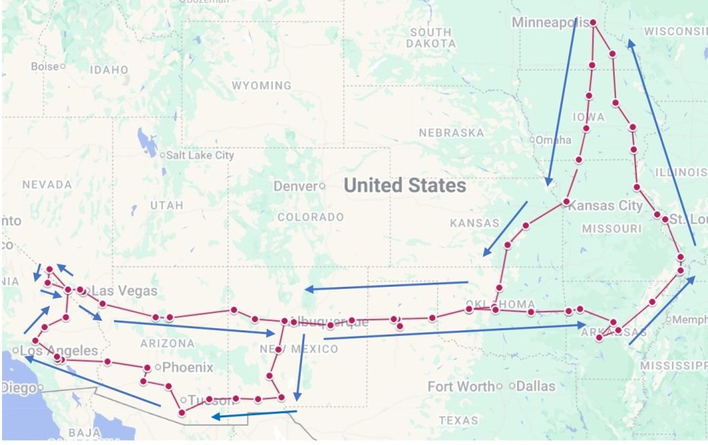
Here’s a summary of the chronology:
- January 20 – January 23: Driving from Minneapolis, MN to Green Valley, AZ.
- January 23 – March 6: Stayed at Canoa Ranch Golf Resort. Visited sites in the vicinity.
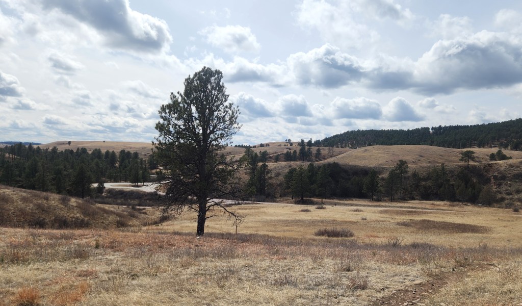
- March 6 – March 8: Stayed in Buckeye, AZ. Visited Skyline Regional Park.
- March 8 – March 11: Stayed at Omni Rancho Las Palmas Resort. Pat attended the BNP Paribas Open and Dave played golf. While our original thought had been to visit Yosemite National Park following our stay here, news of heavy snowfall in or near the park persuaded us to change course and visit Death Valley National Park instead. We also decided to return to Minneapolis via a southern route rather than through the Colorado mountains (as we did last year) and catch two new (to us) National Parks along the way.
- March 11 – March 13: Stayed in Pahrump, NV. Visited Death Valley National Park.
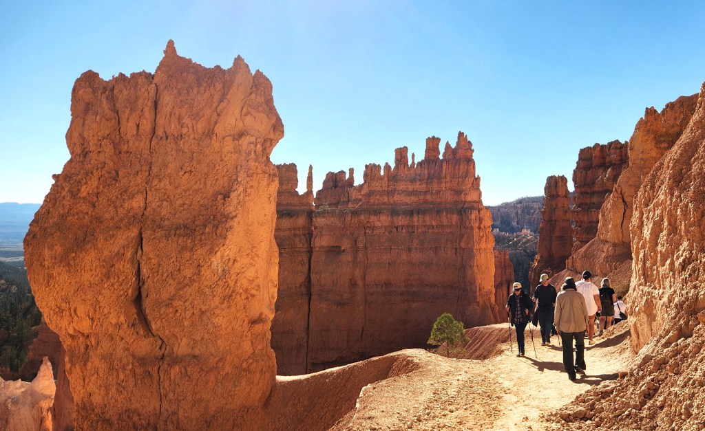
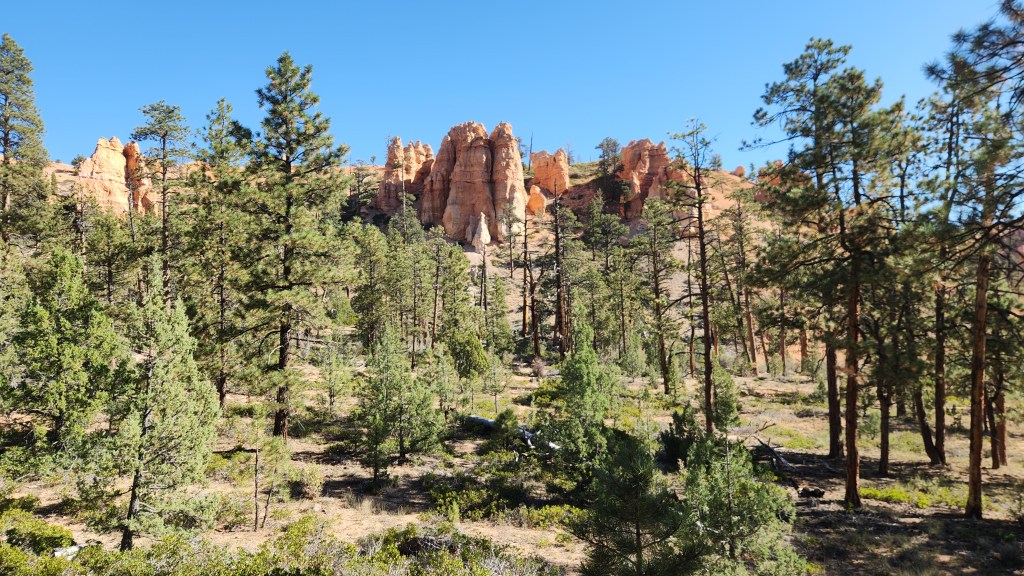
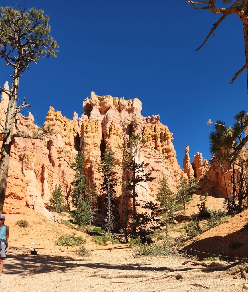
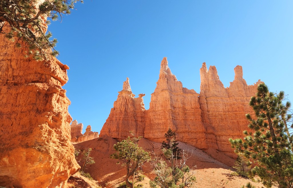
- March 13 – March 14: Visited Red Rock Canyon National Conservation Area, a spur-of-the-moment decision. Overnight stay in Flagstaff, AZ.
- March 14 – March 15: Overnight stay in Albuquerque, NM.
- March 15 – March 17: Stayed in Amarillo, TX. Visited Palo Duro Canyon State Park.
- March 17 – March 18: Overnight stay in Van Buren, AR.
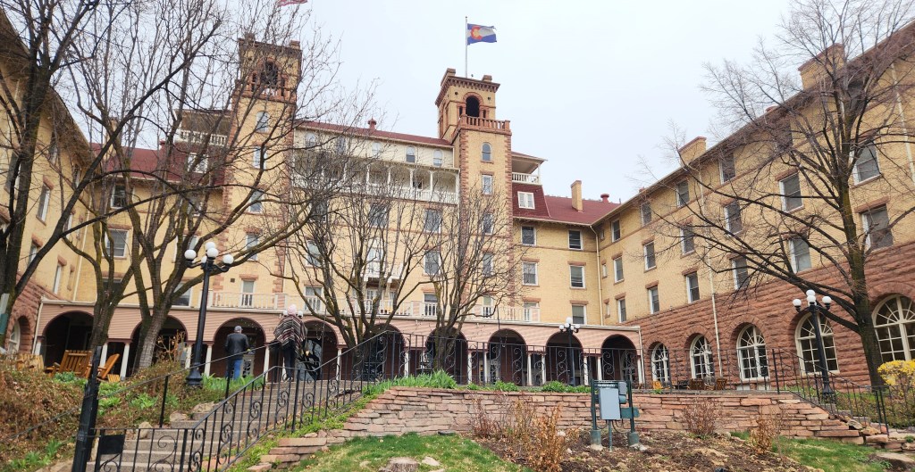
- March 18 – March 20: Stayed at The Arlington Resort Hotel, Hot Springs, AR. Visit Hot Springs National Park.
- March 20 – March 21: Overnight stay in Sikeston, MO.
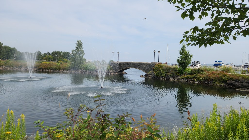
- March 21 – March 23: Visited Cape Rock Park, Cape Girardeau, MO. Stayed in St. Louis, MO. Visited Gateway Arch National Park.
- March 23 – March 24: Overnight stay in Coralville, IA.
- March 24: Returned to Minneapolis.
I’ll expand a bit on the highlights mentioned above in this and the subsequent Parts of the travelogue.
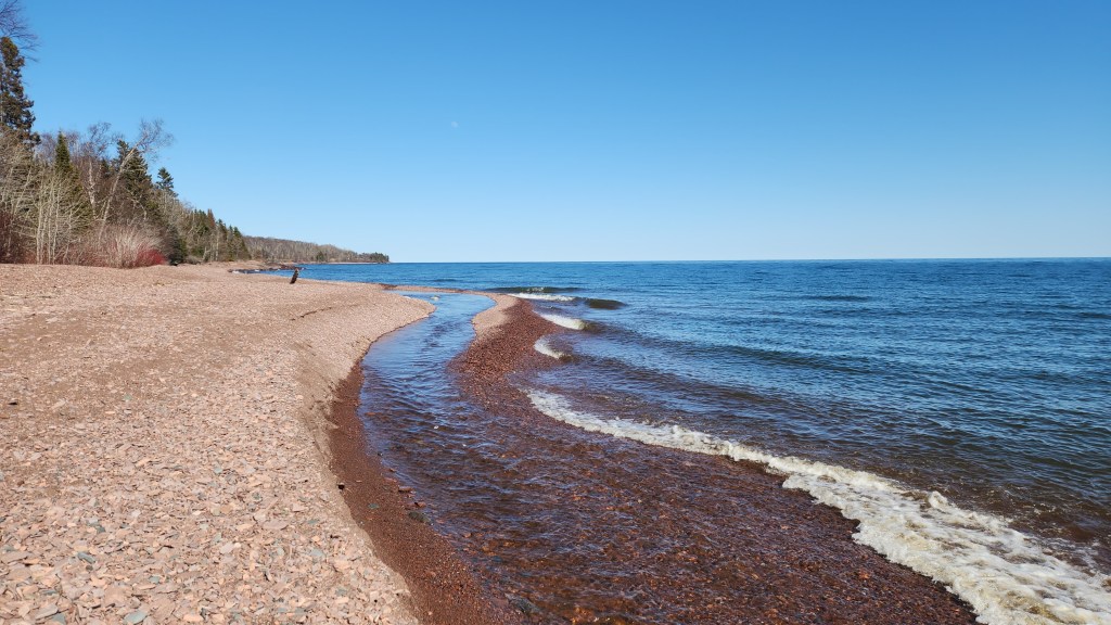
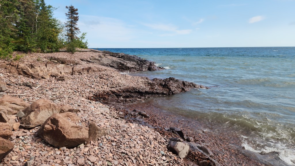
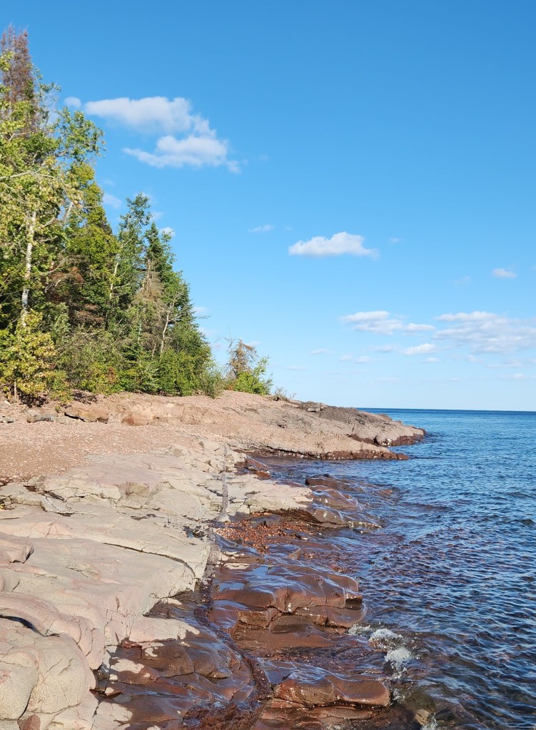
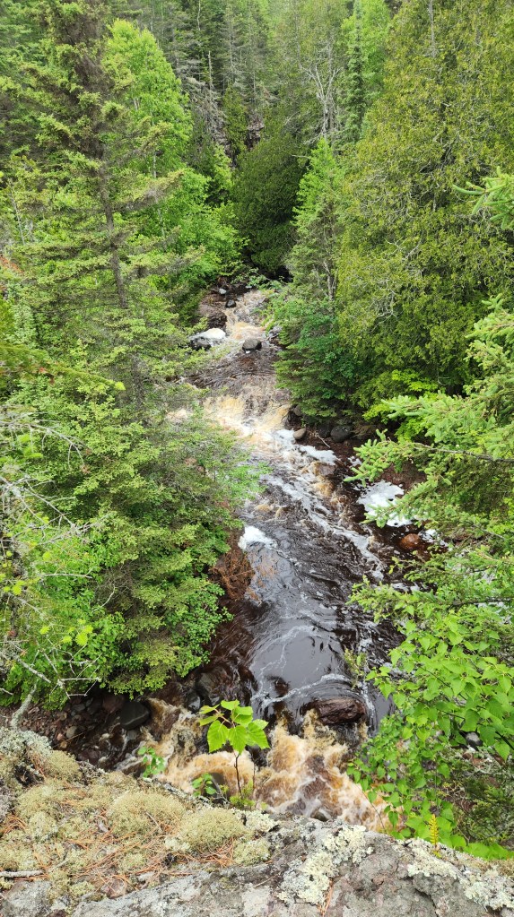
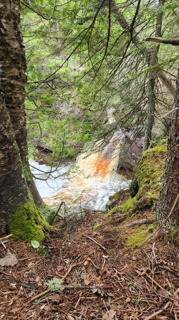
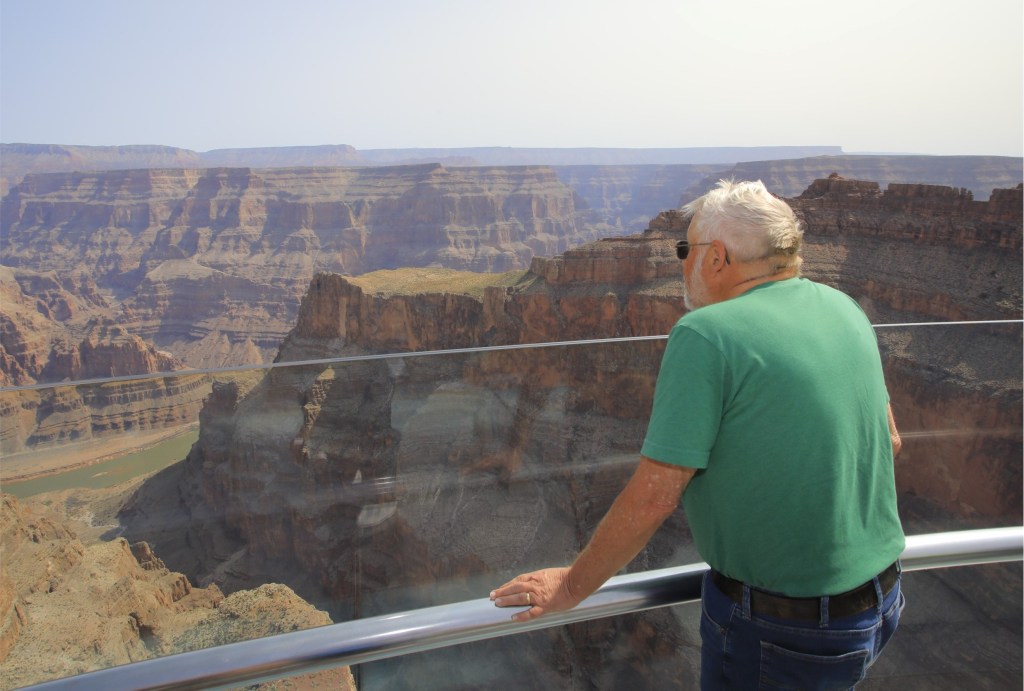
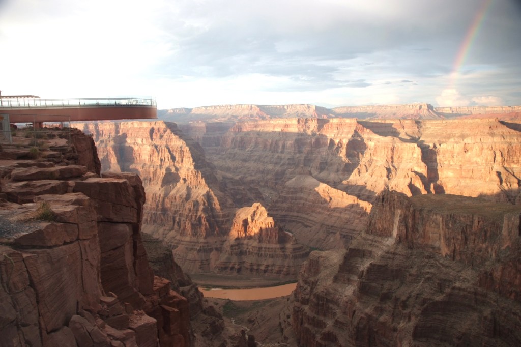
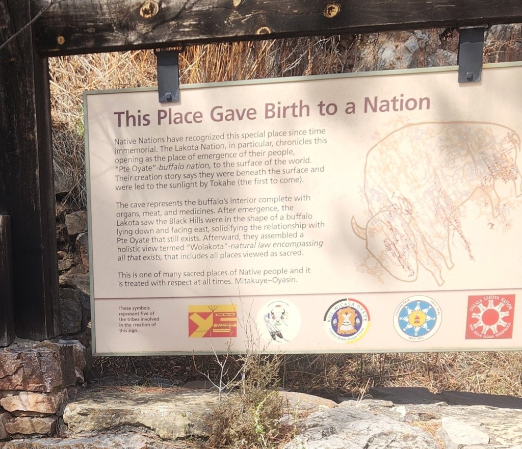
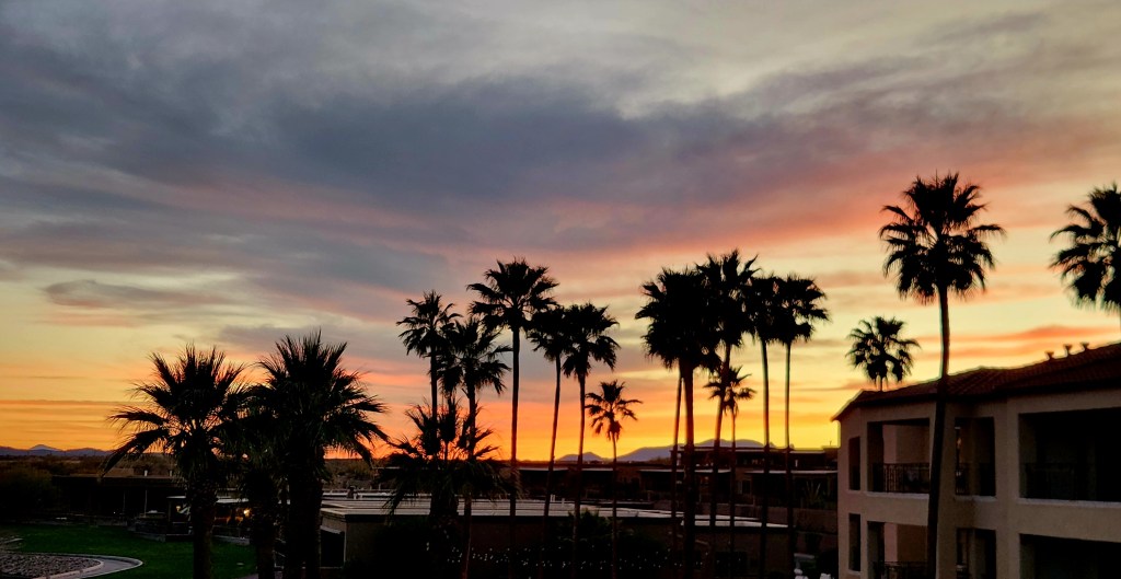
Green Valley, AZ (January 23 – March 6): I documented our time in Green Valley during last year’s visit in Pat and Dave’s Winter Warmup, so I won’t go into much detail about this year’s activities. The following paragraphs touch on some highlights.
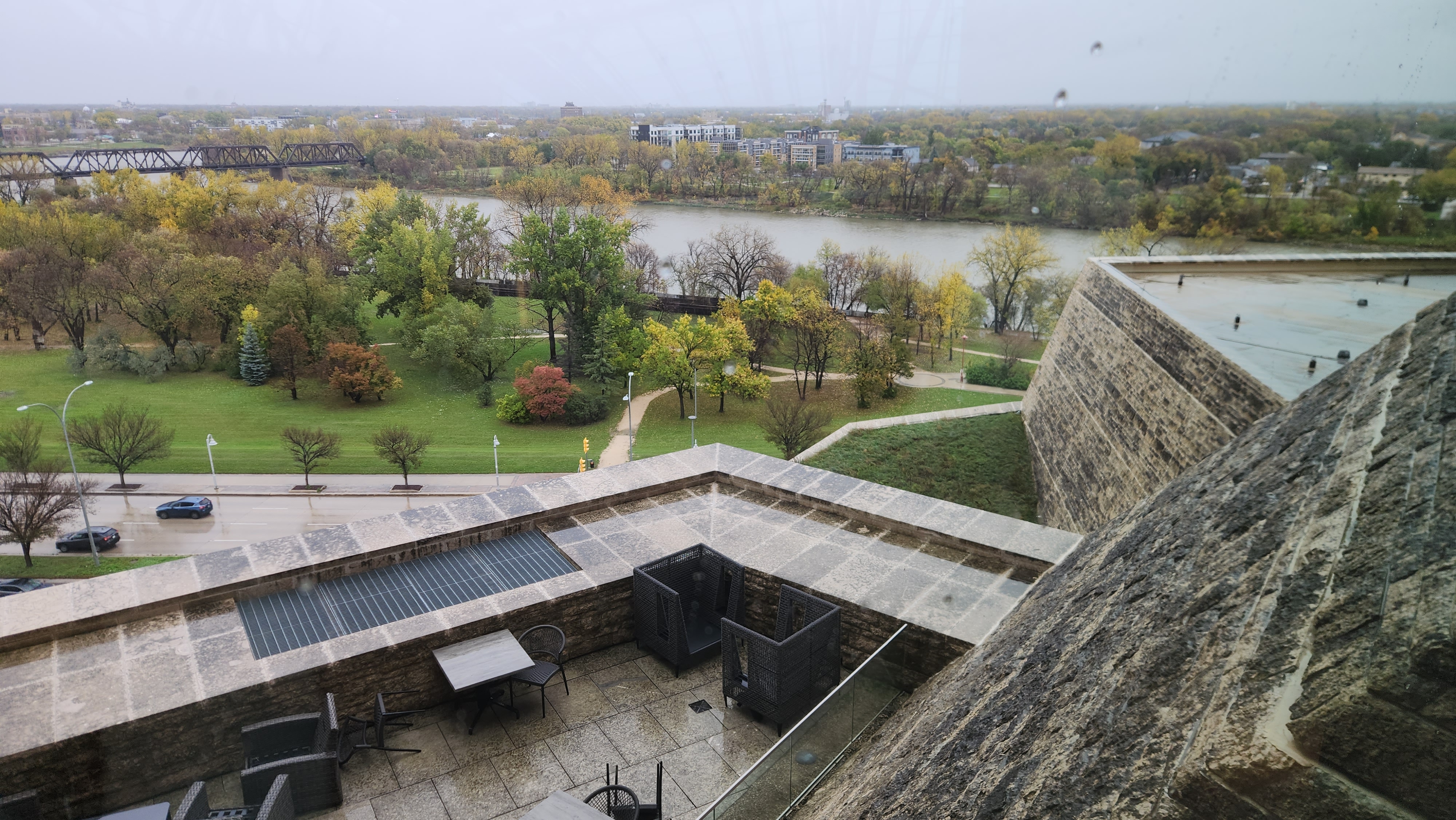
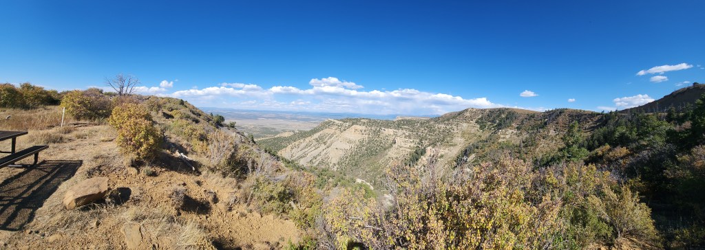
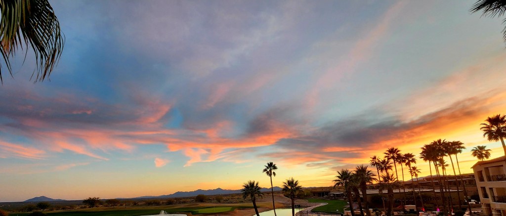
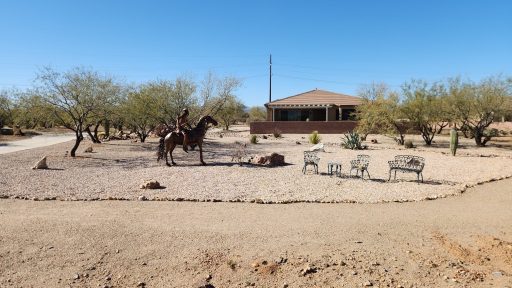
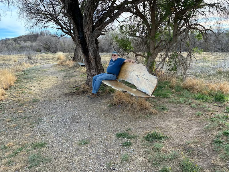
- The Condo: We stayed in the same condo unit as last year and again enjoyed the beautiful views from the balcony. The weather was generally excellent, with only a few days that felt too hot and one or two days with light rainfall. We took many walks and bike rides in the area around the resort, and Dave managed to play golf ten times at the Canoa Ranch Golf Club (a short walk from the resort) and three times at Torres Blancas Golf Club (a ten-minute drive). Our stay at the condo definitely qualified as a Redundant Redo, except for the bikes, which we didn’t have last year.

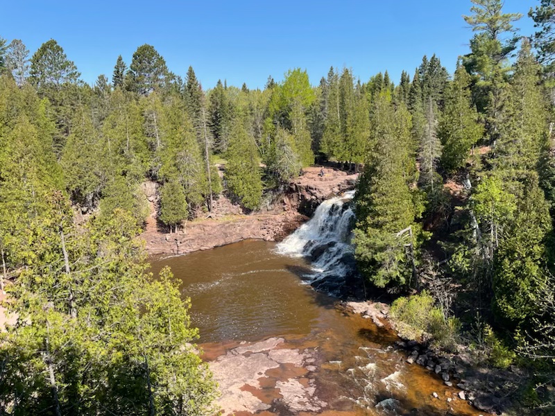
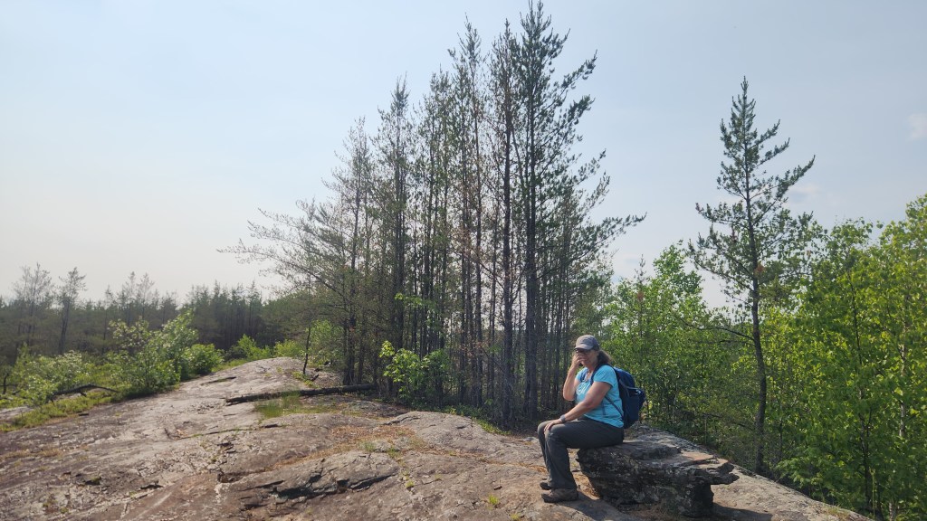
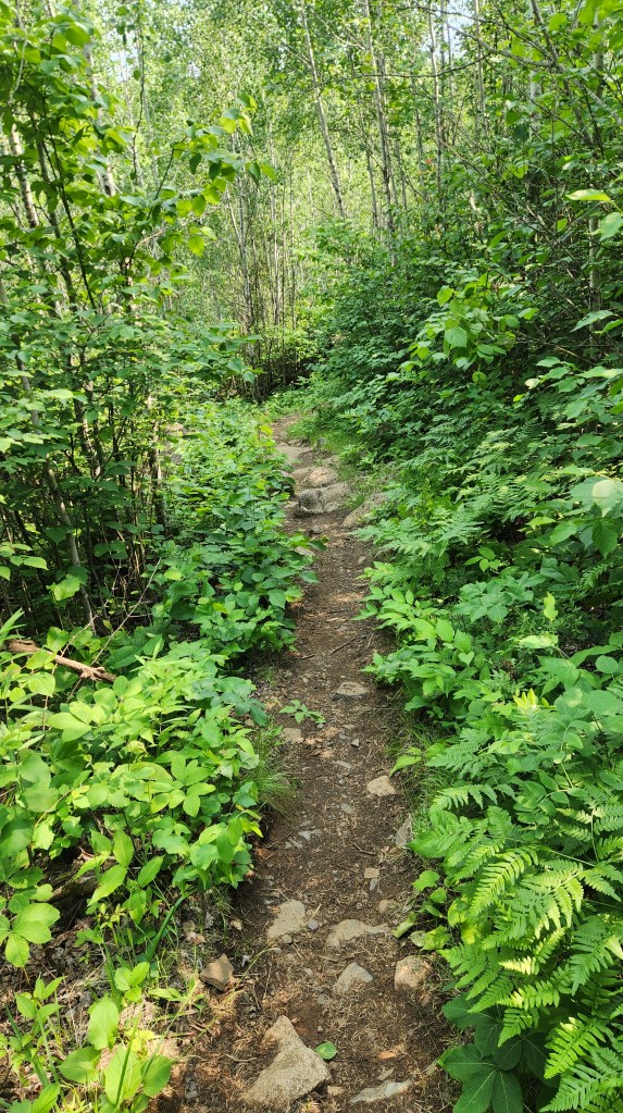
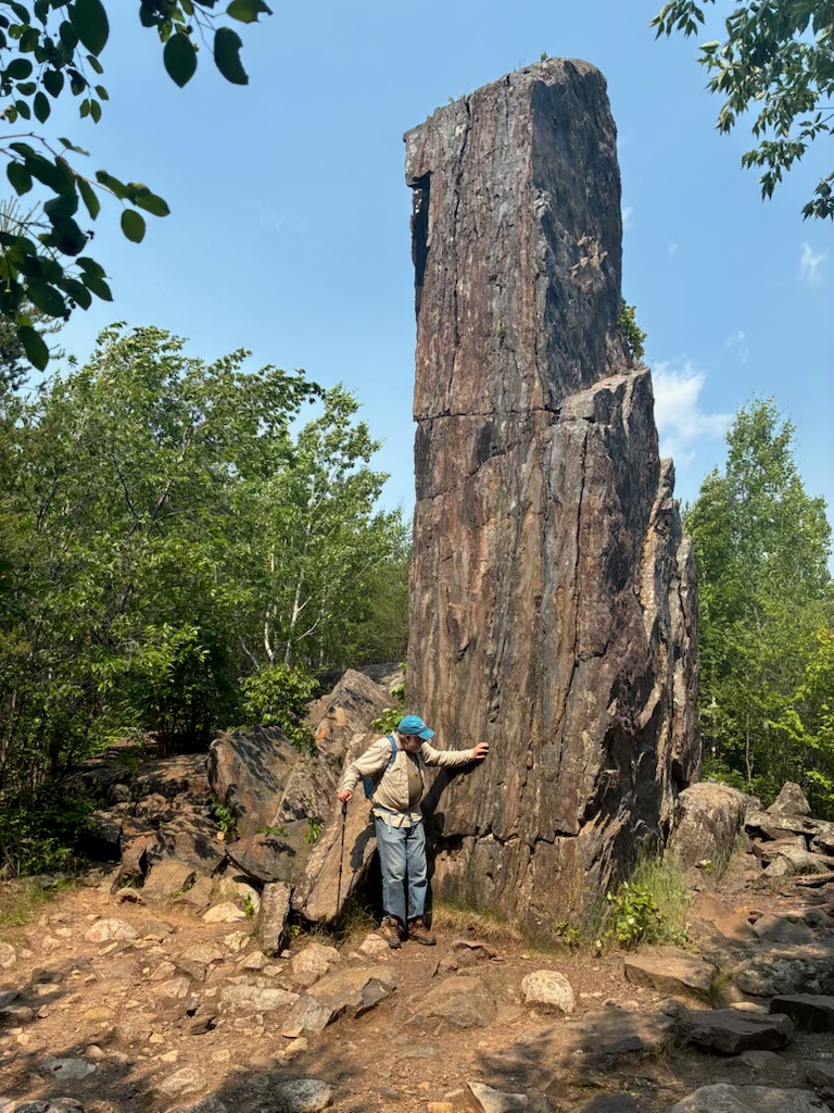
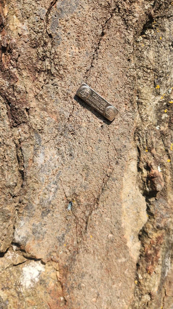
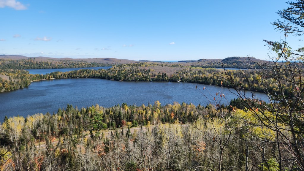
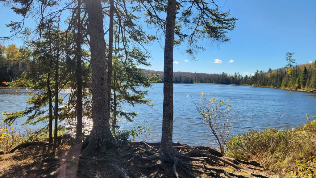
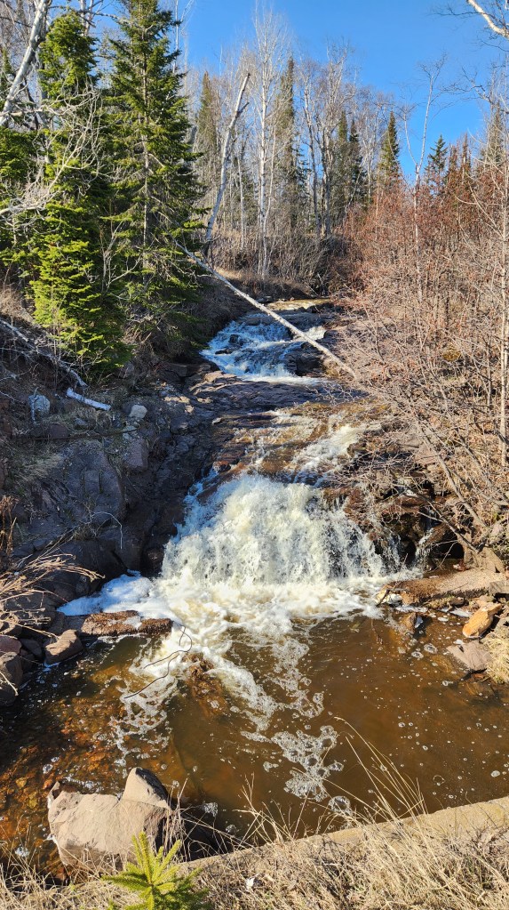
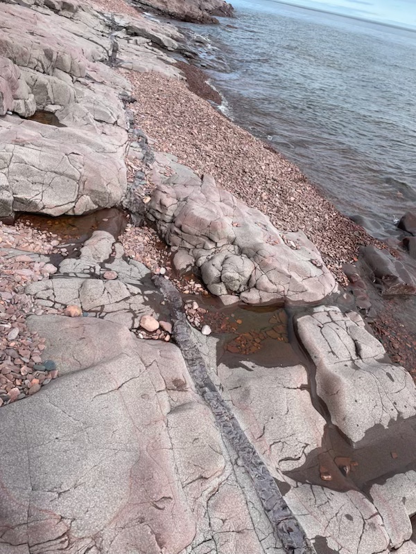
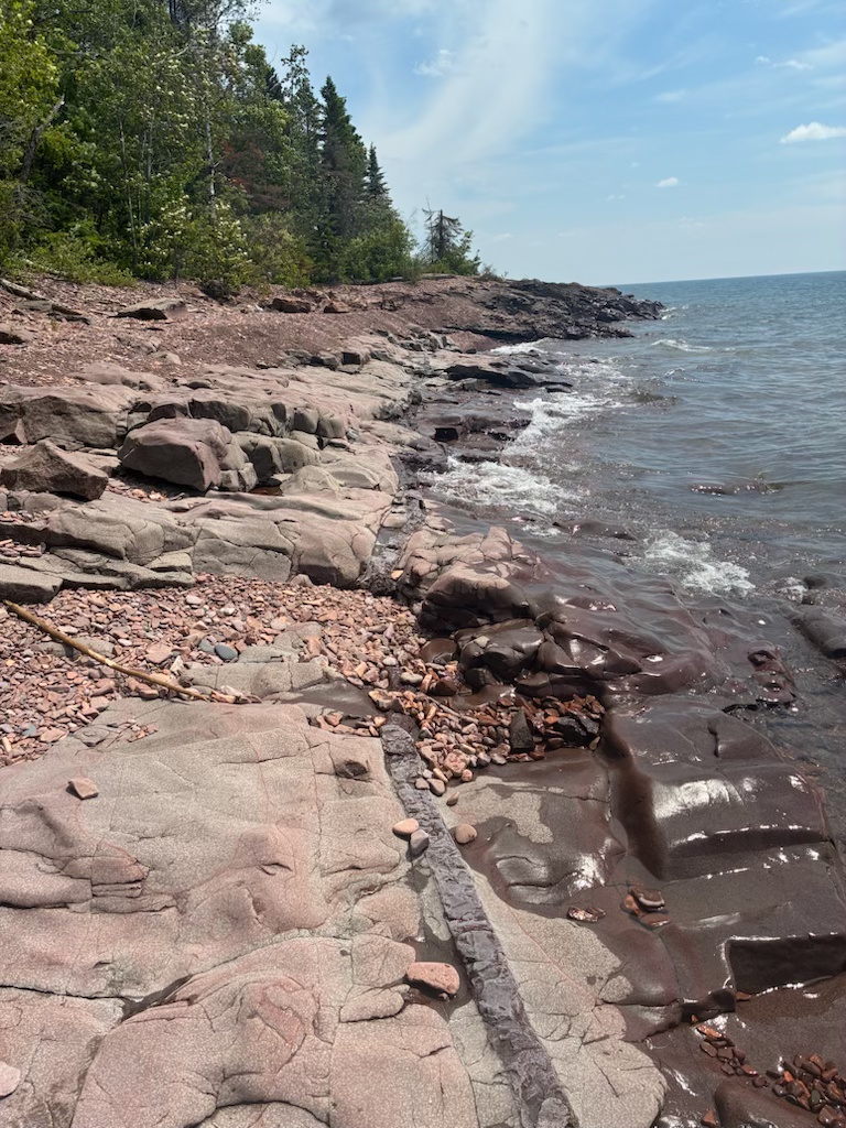
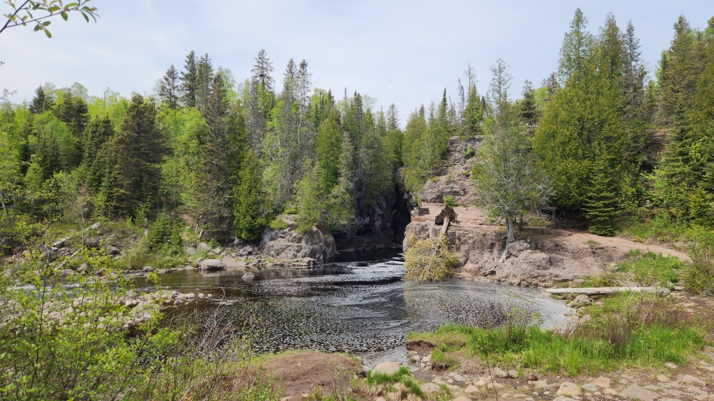
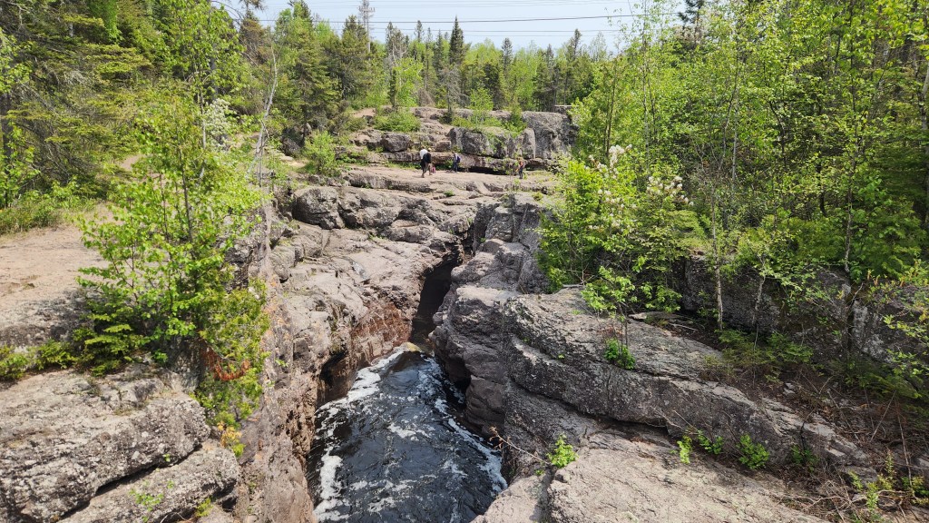
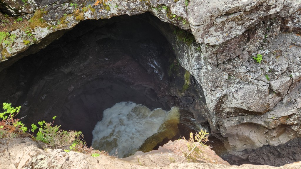
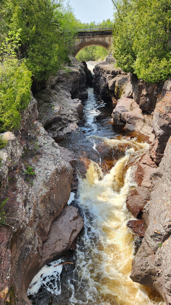
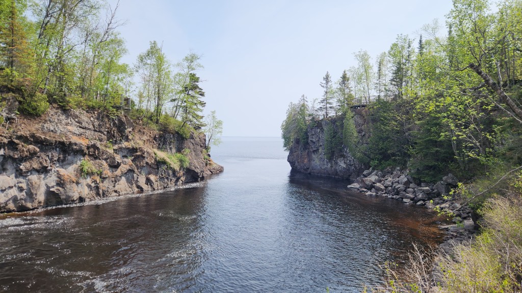
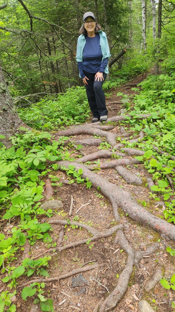
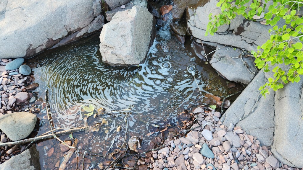
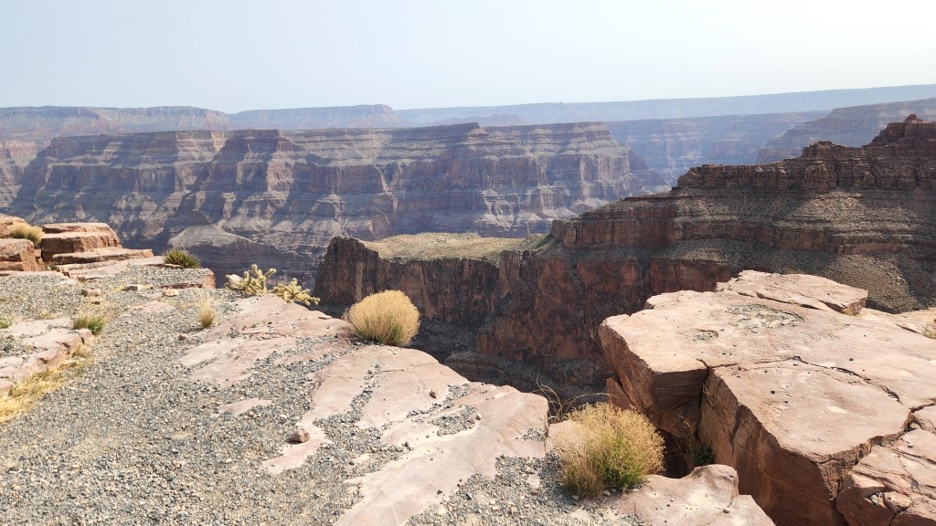
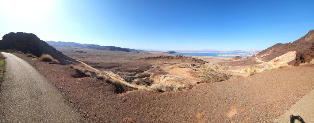
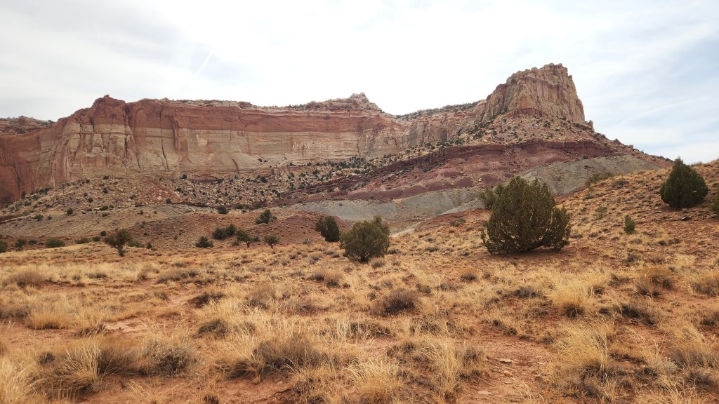
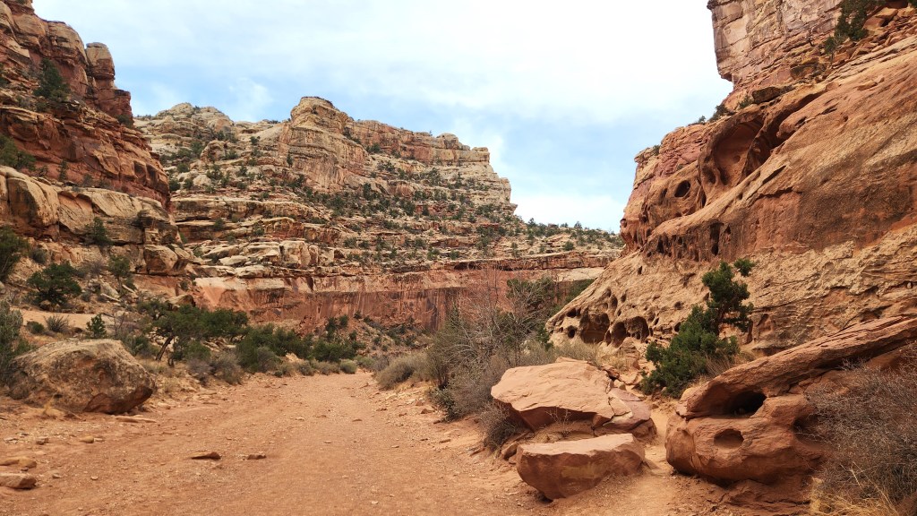
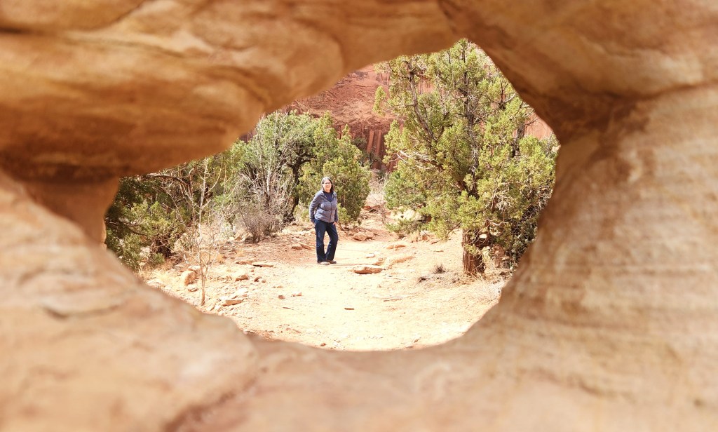
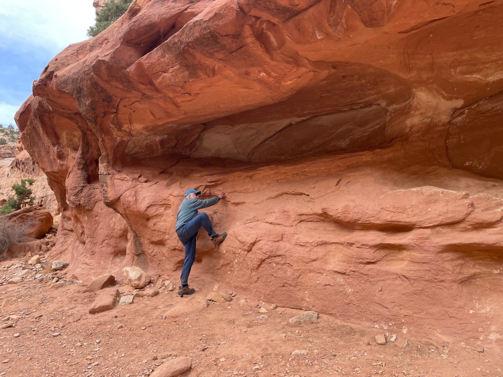
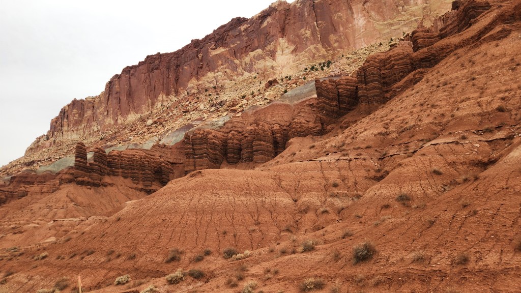
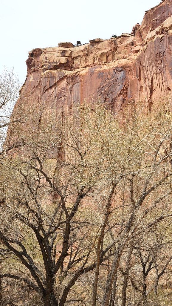
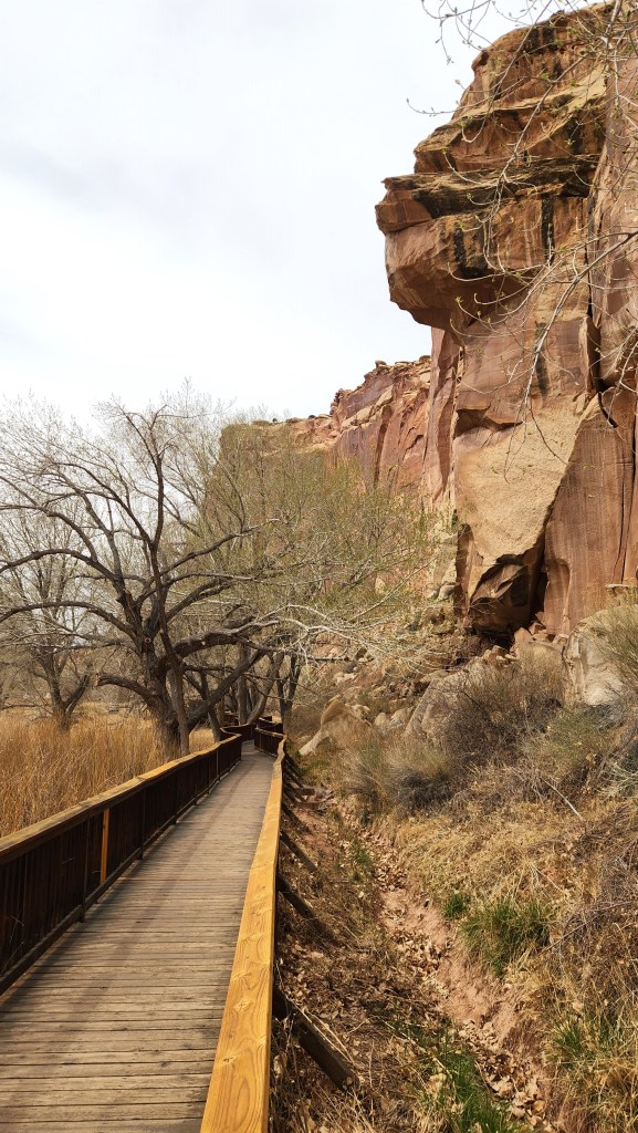
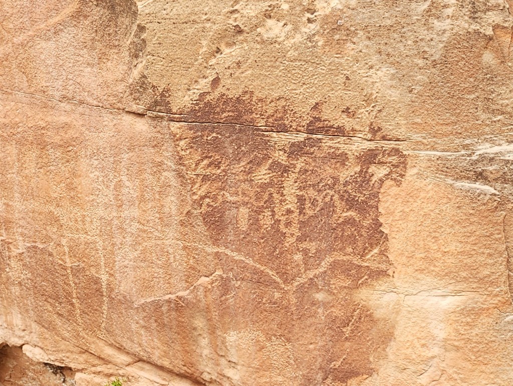
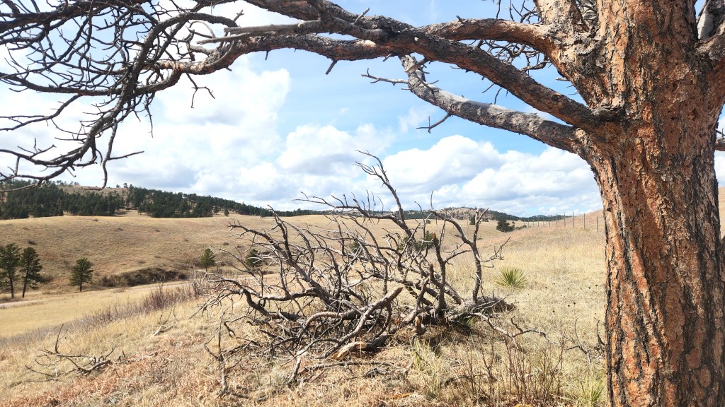
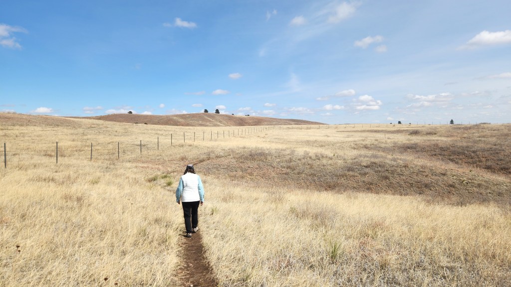
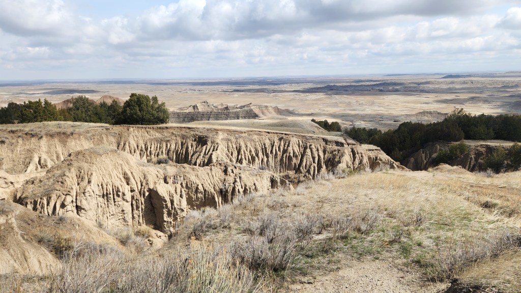
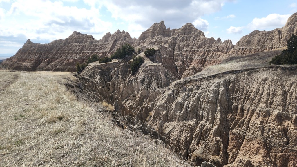
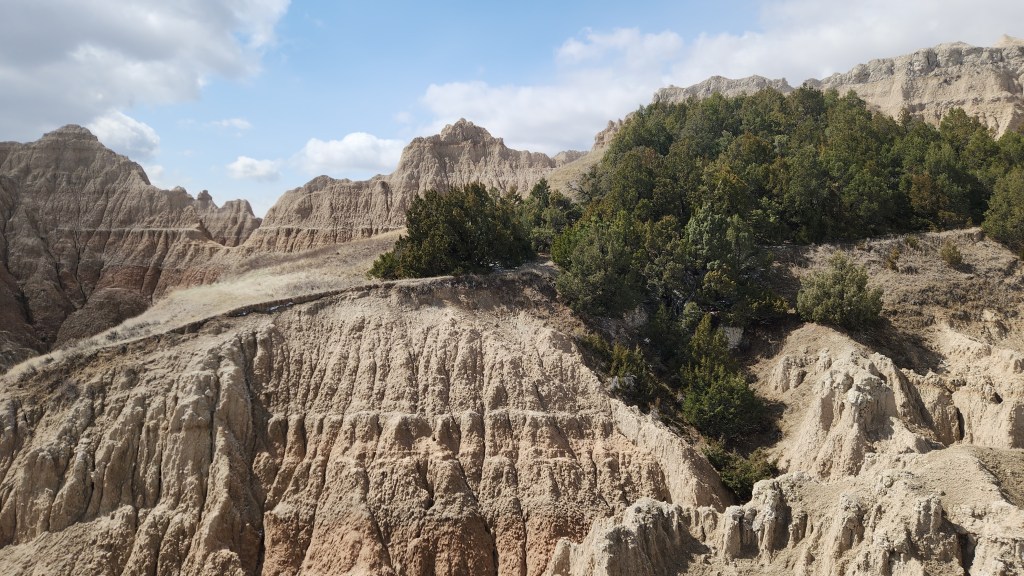
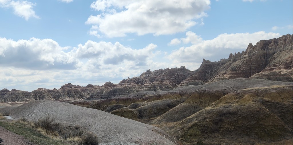
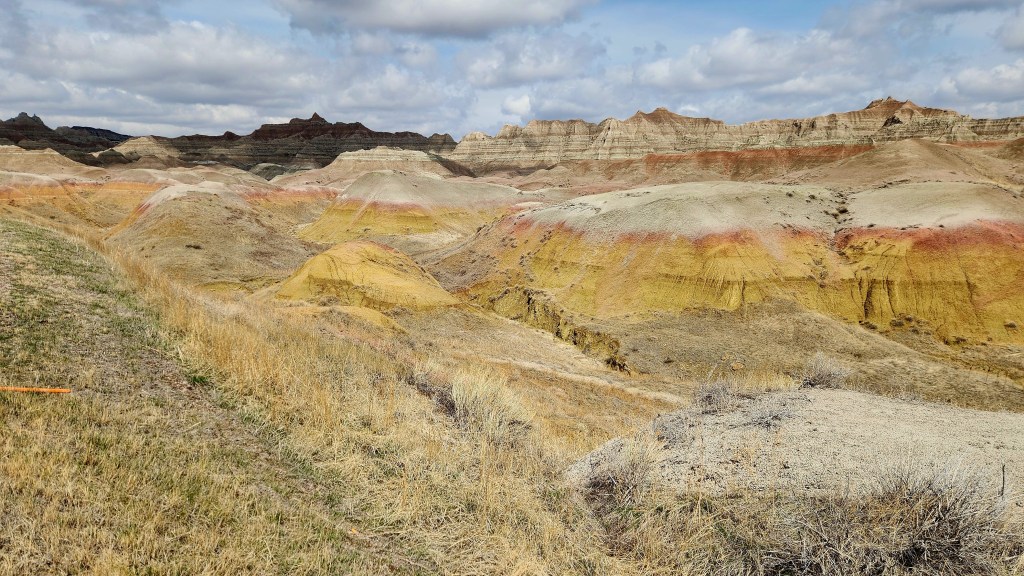
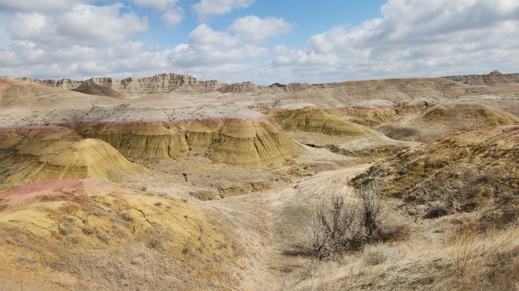
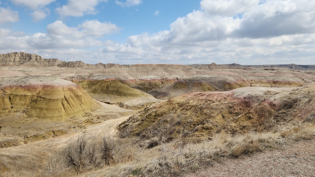
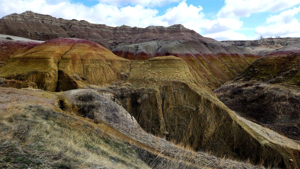
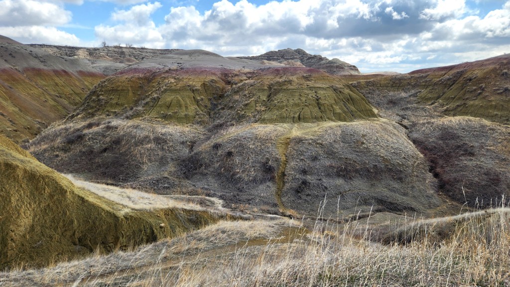
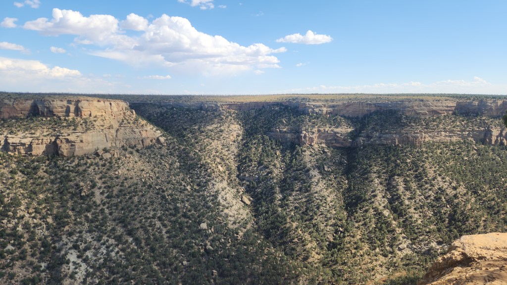
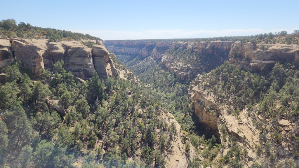
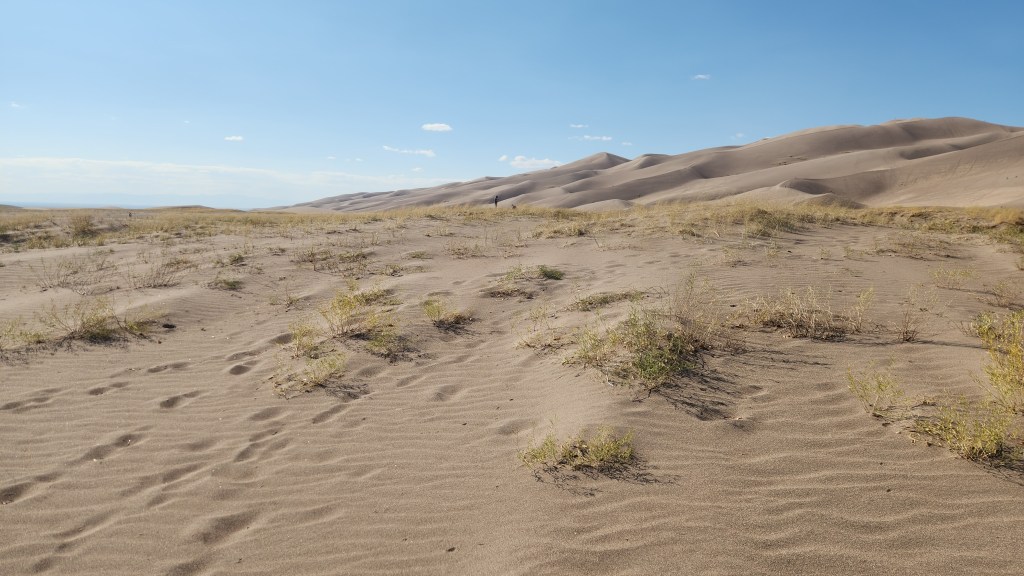
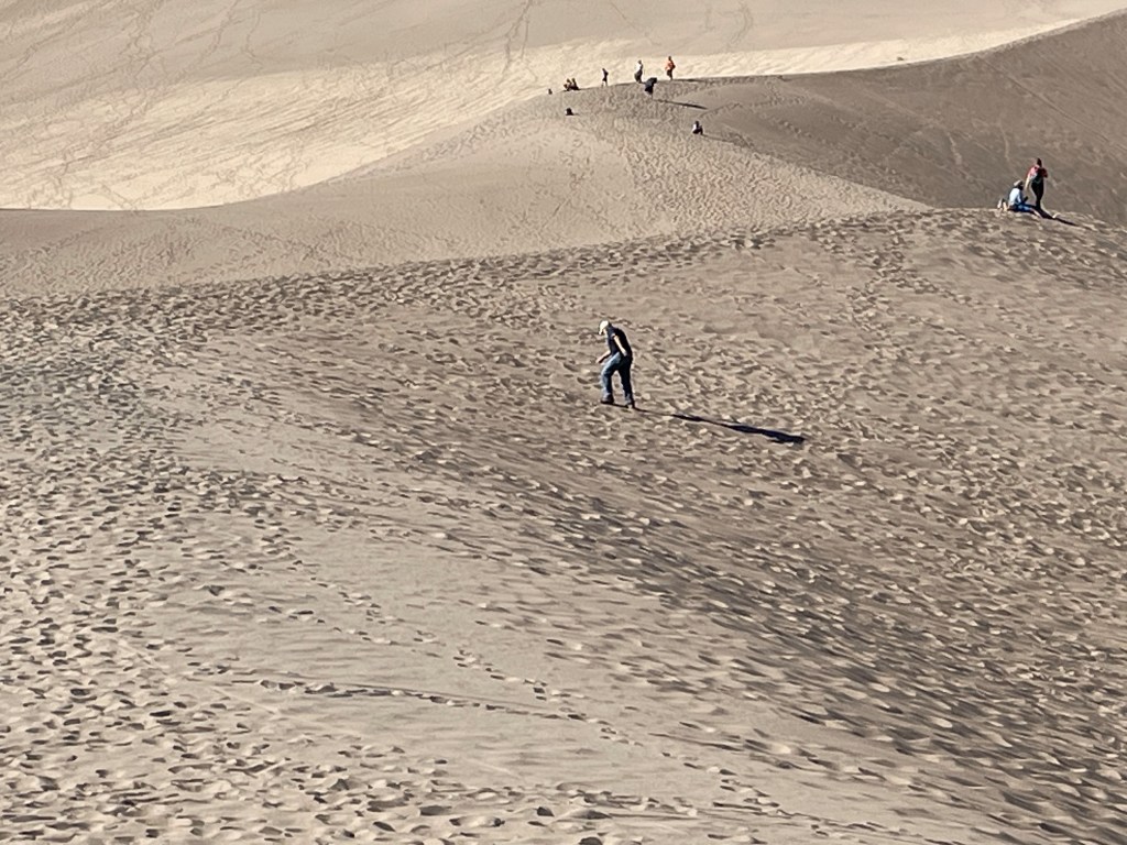
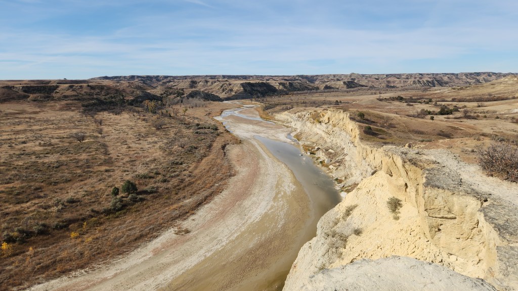
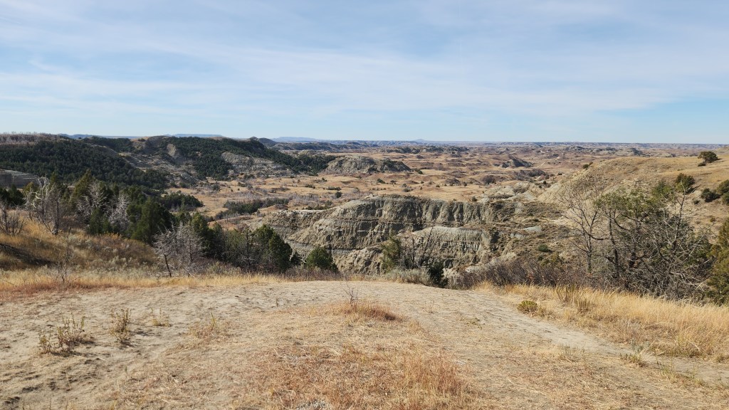
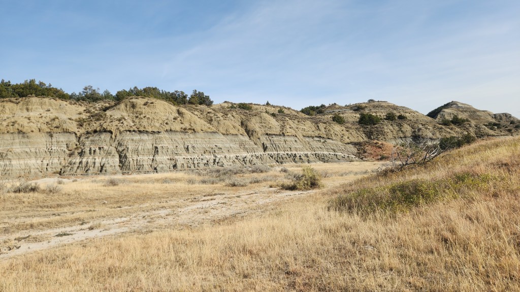
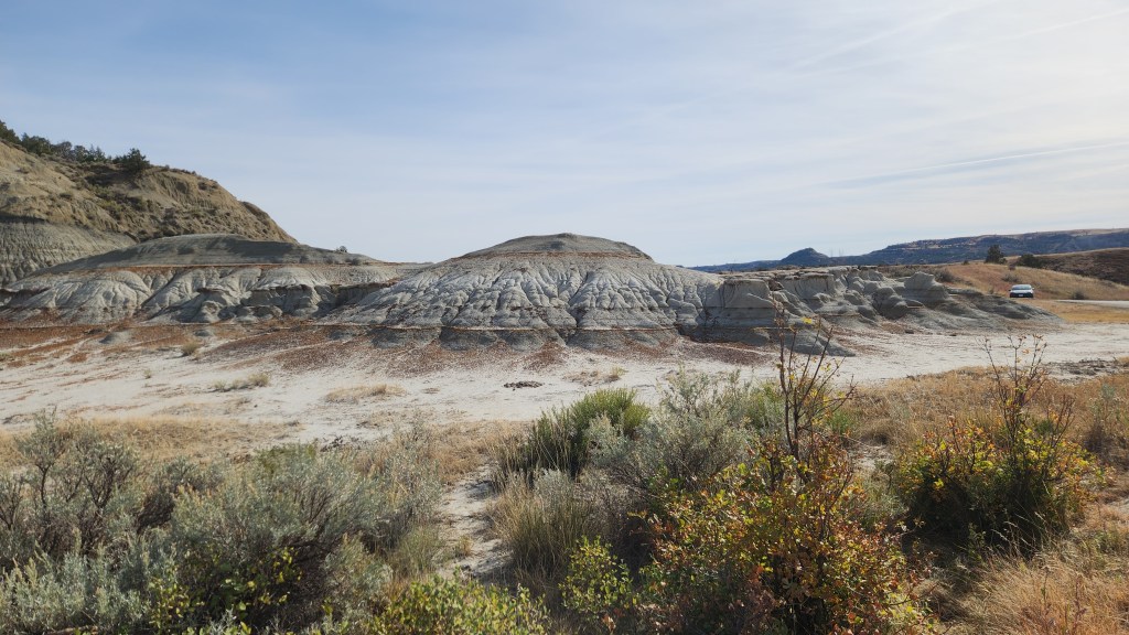
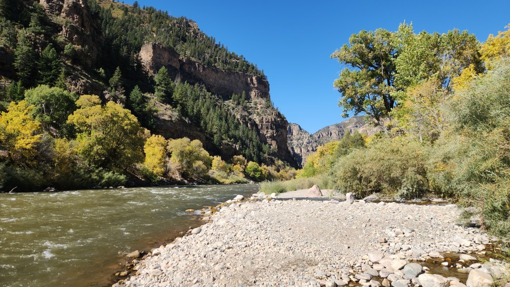
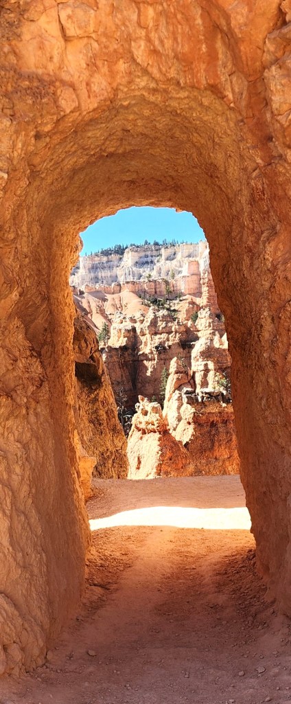
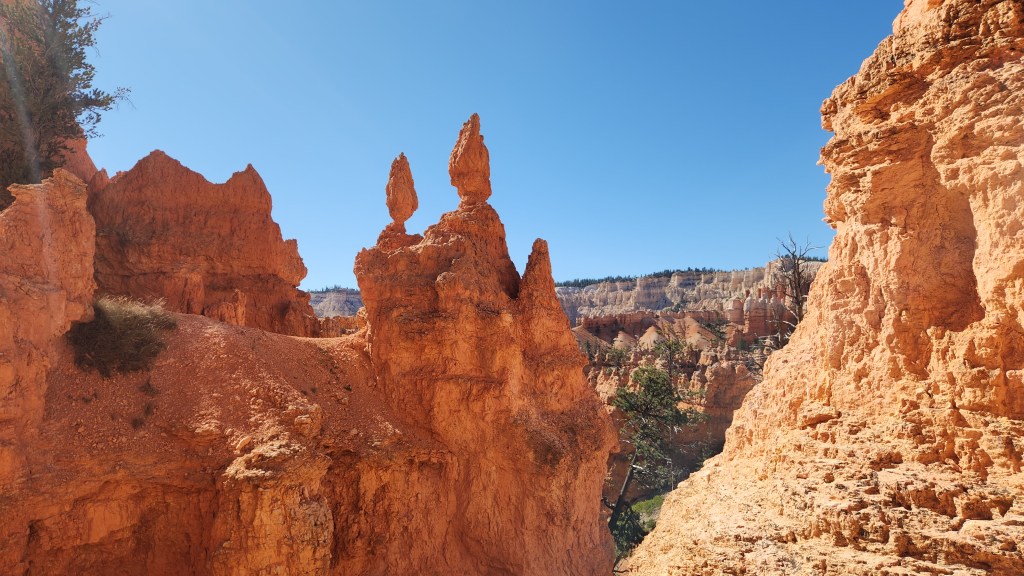
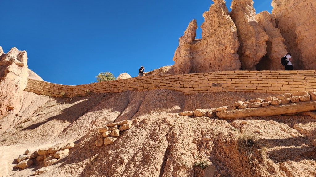
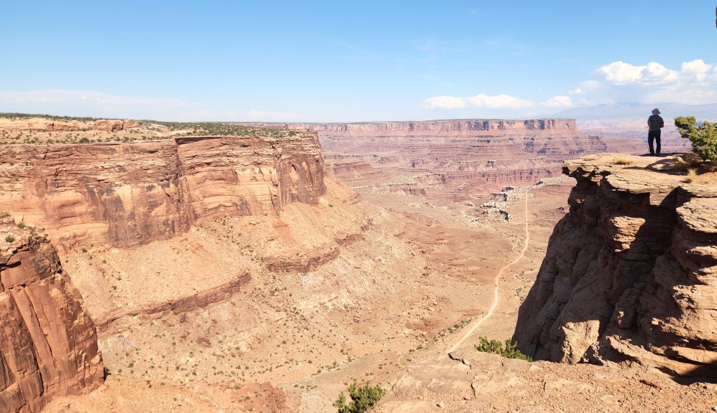
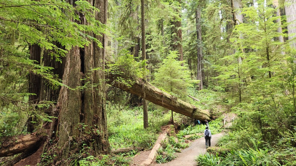
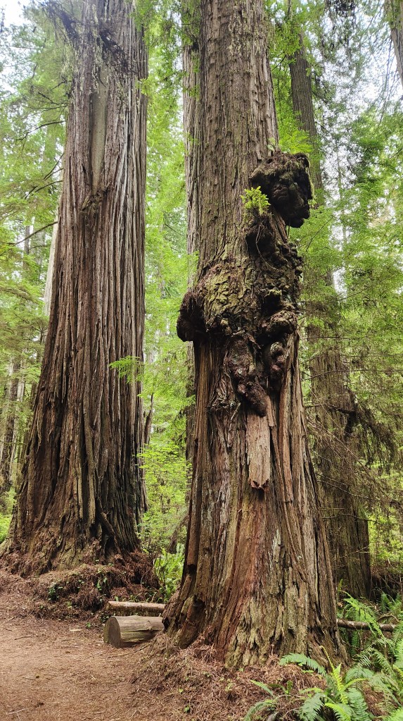
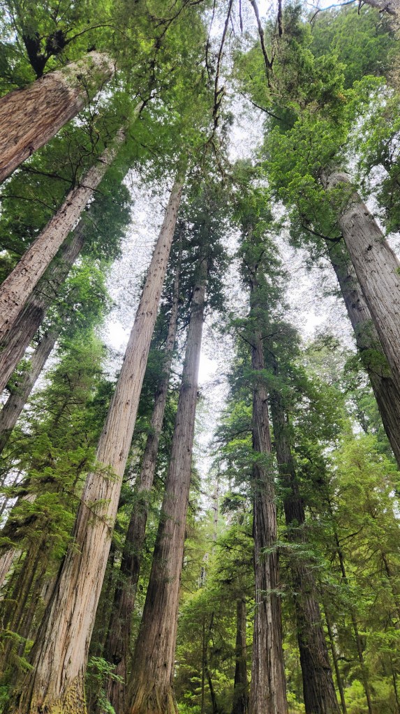
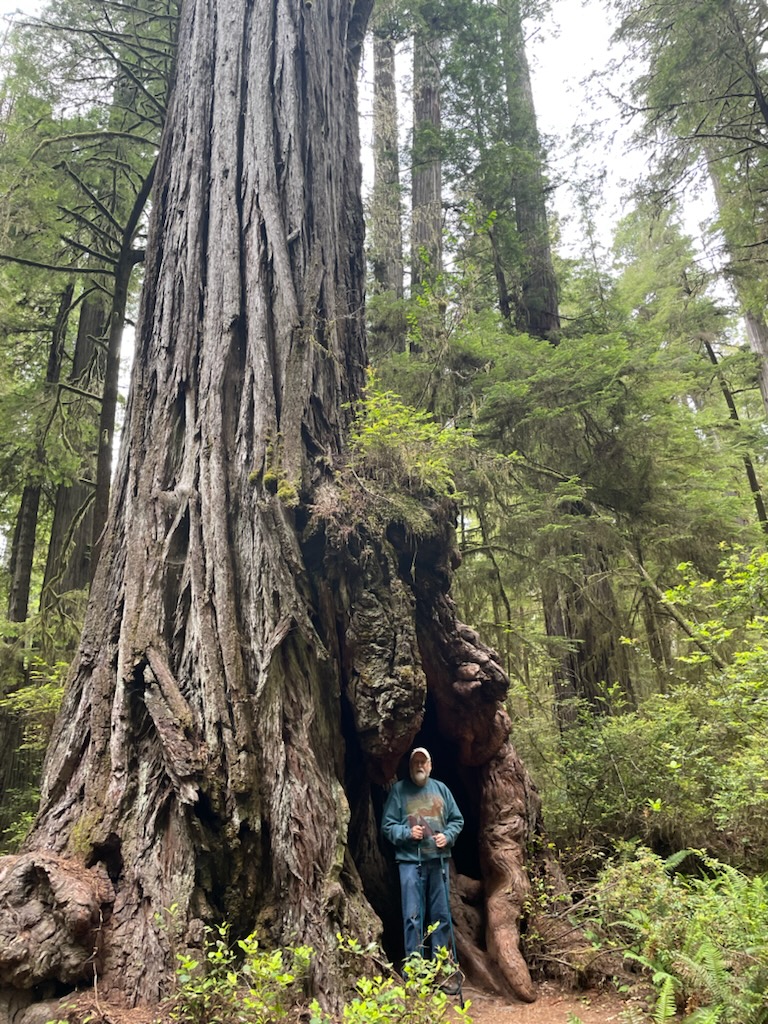
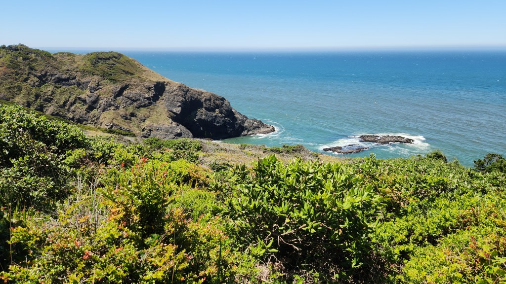
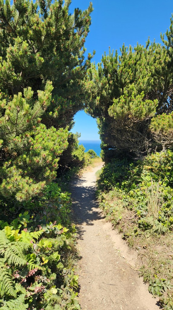
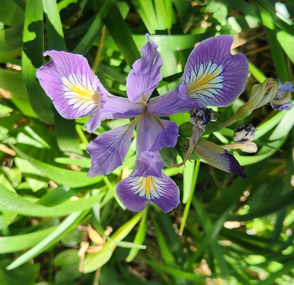
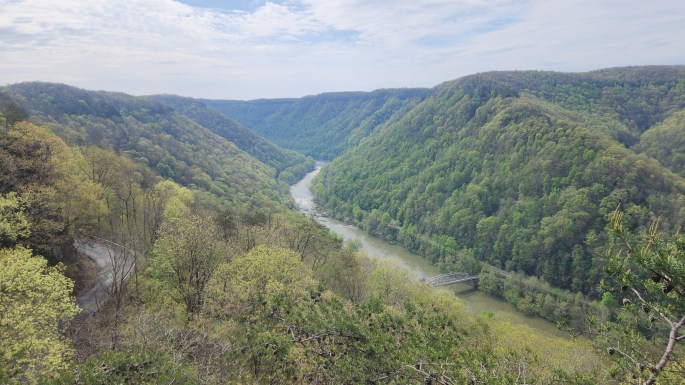
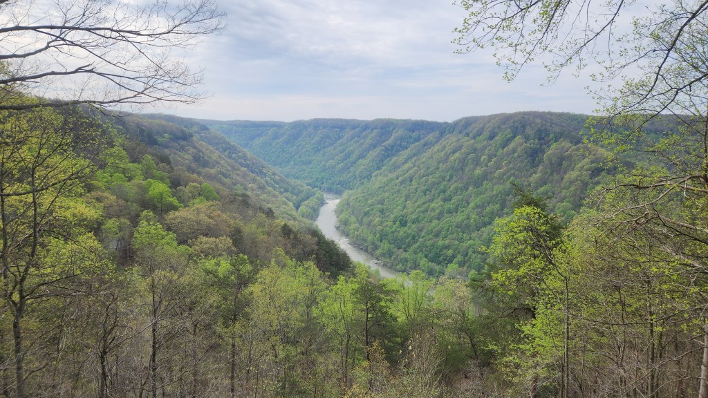
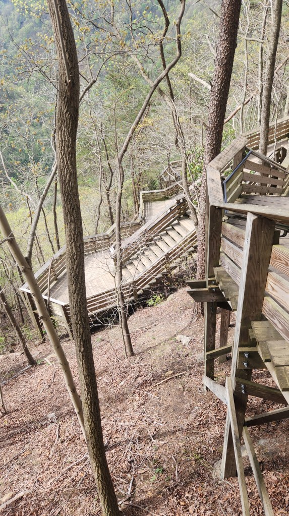
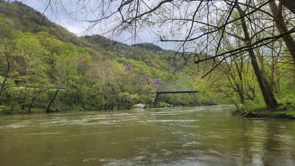
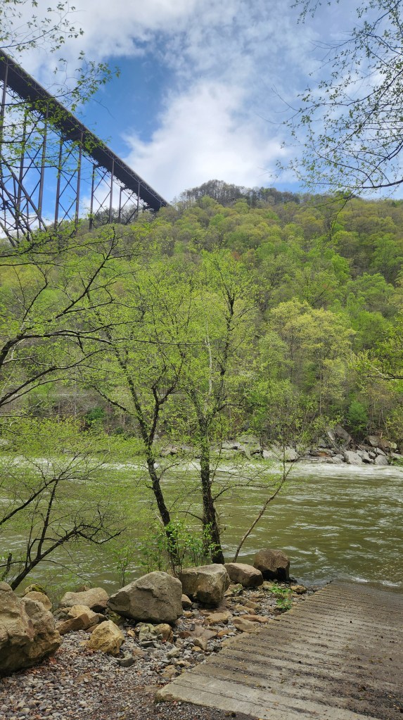
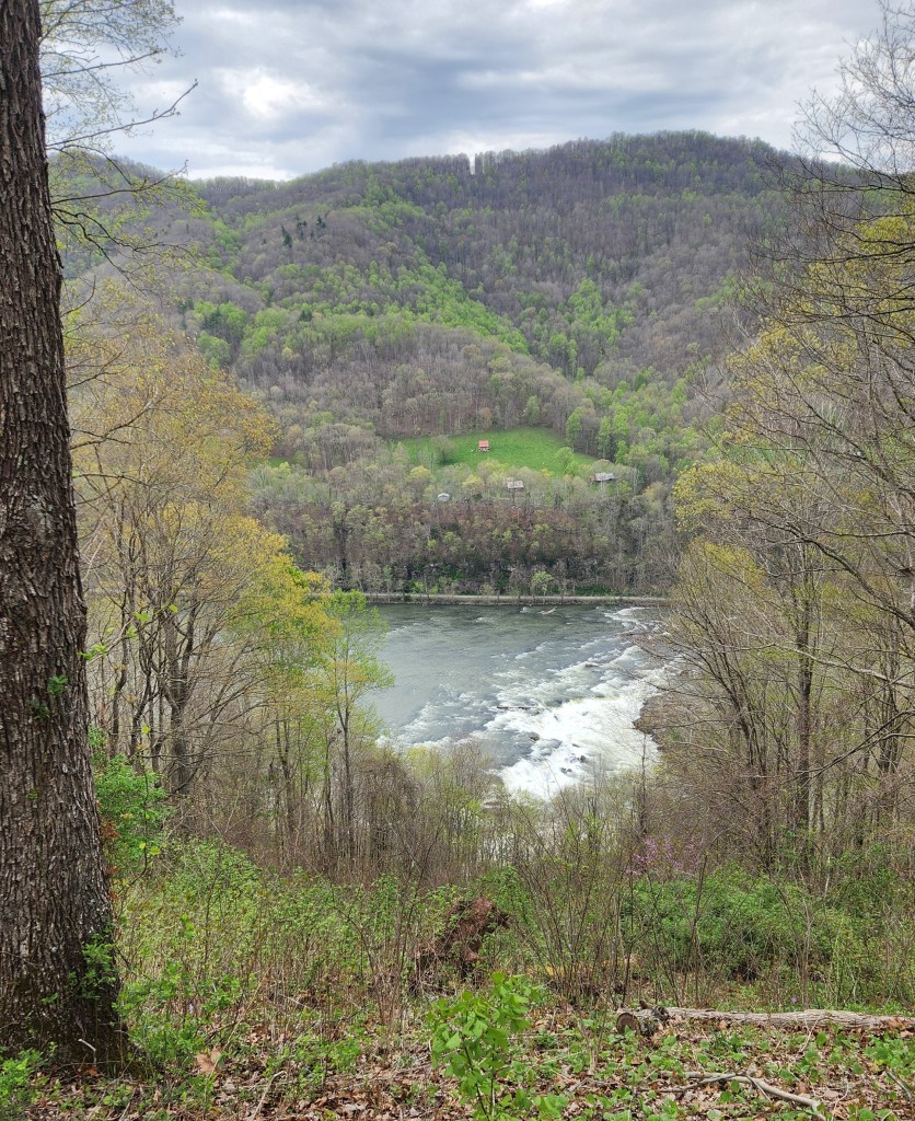
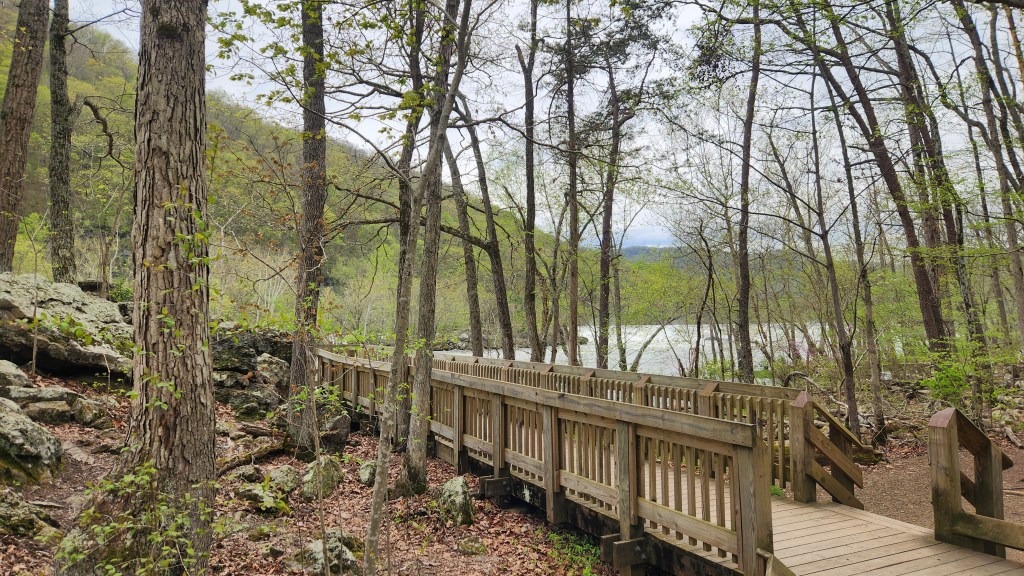
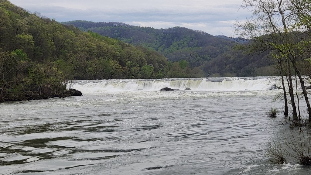
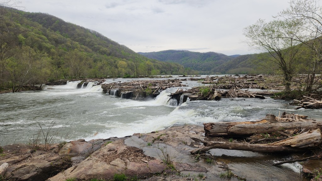
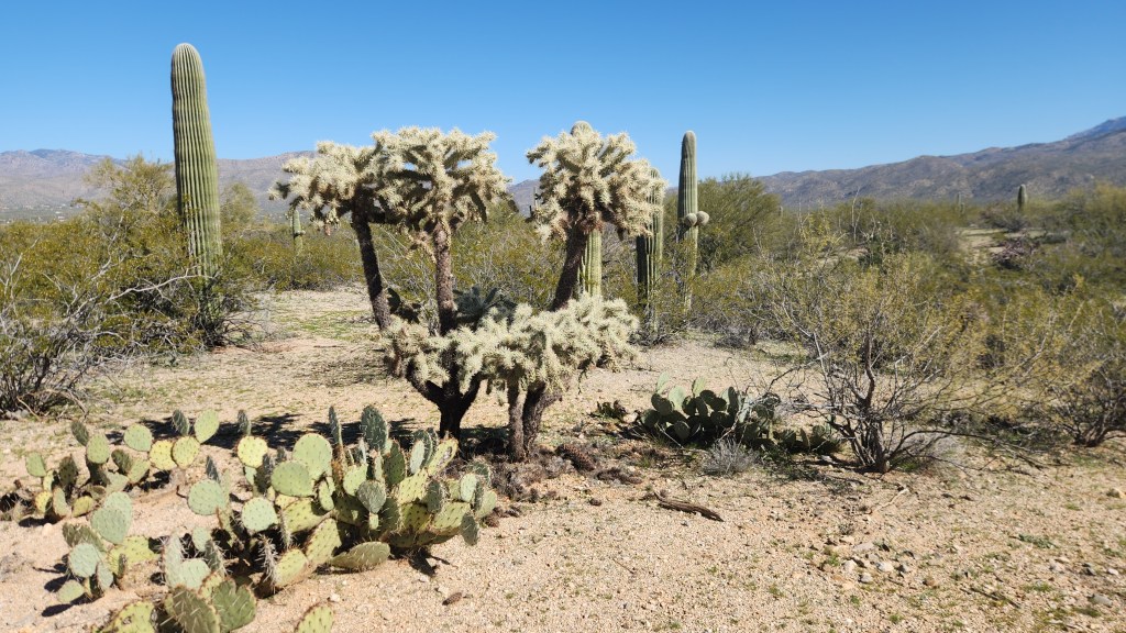
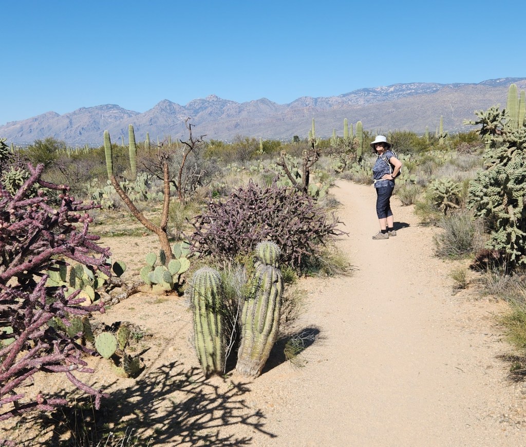
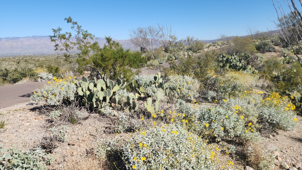
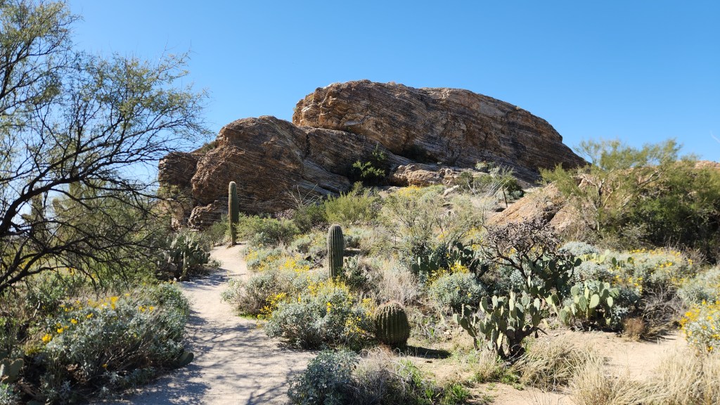
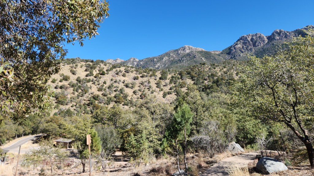
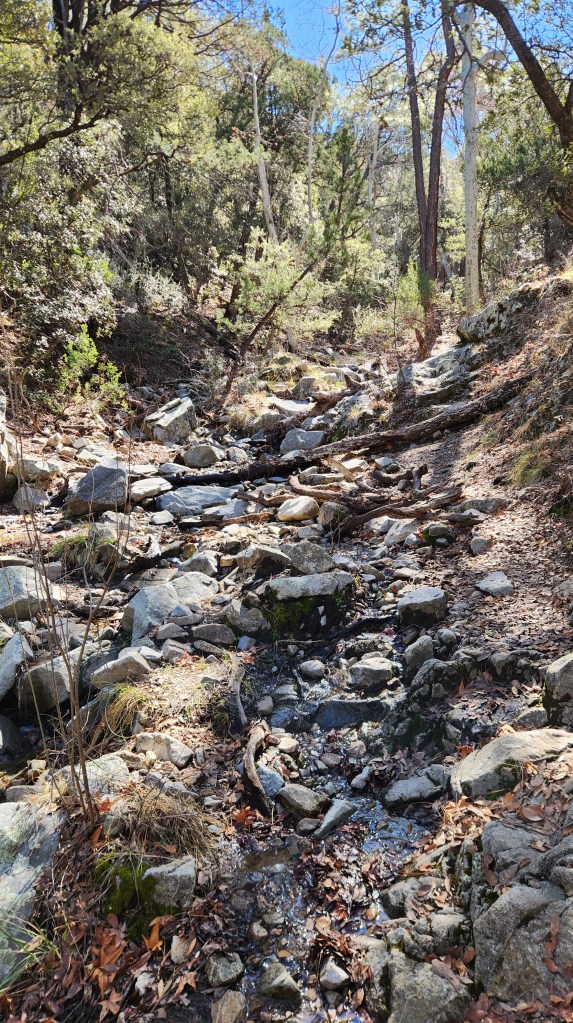
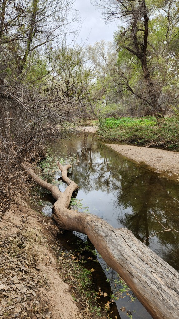
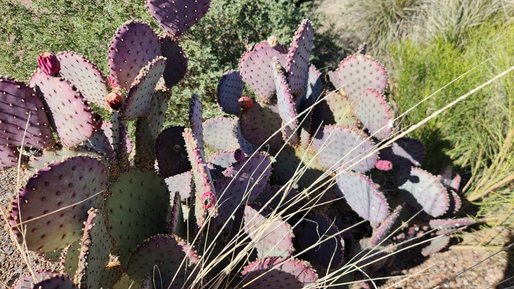
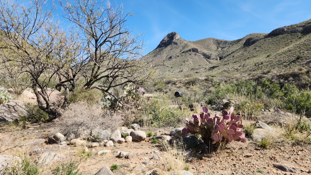
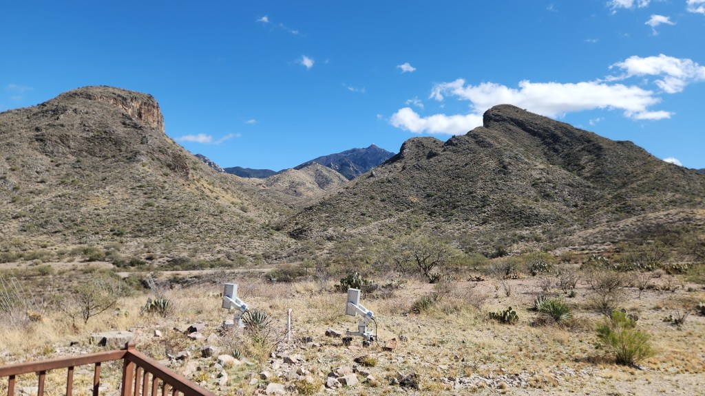
- Catalina State Park: This State Park is located 16 miles north of downtown Tucson. We camped here with our RV back in 2021 during The Saaris’ (Sorta) Safe Sojourn, so this again qualifies as a Redundant Redo. Here are some photos from this year’s hike.
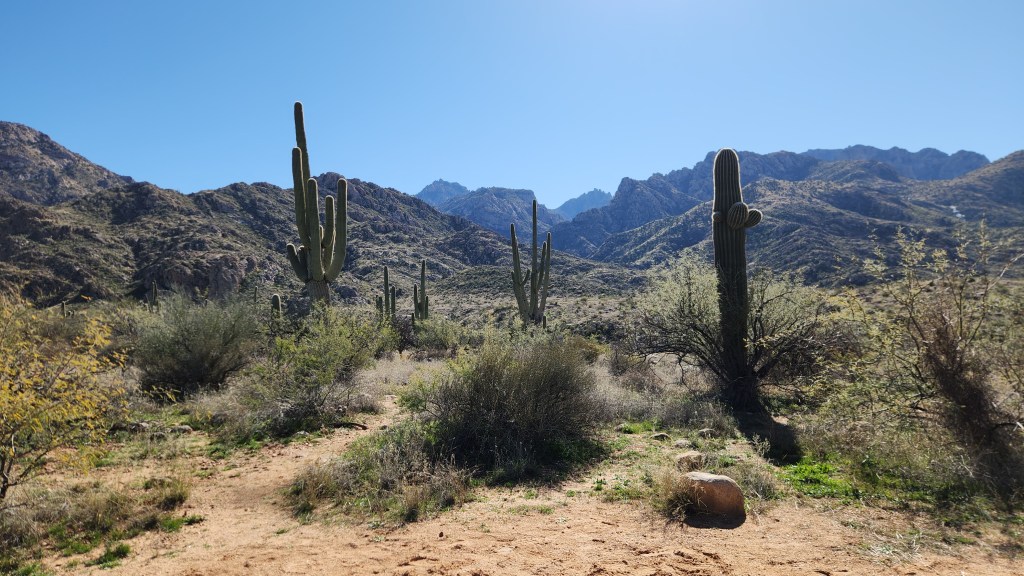


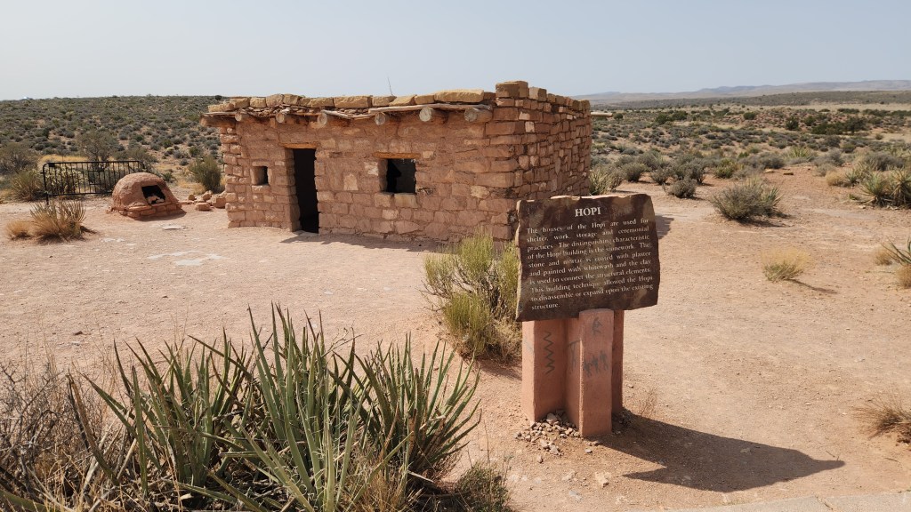
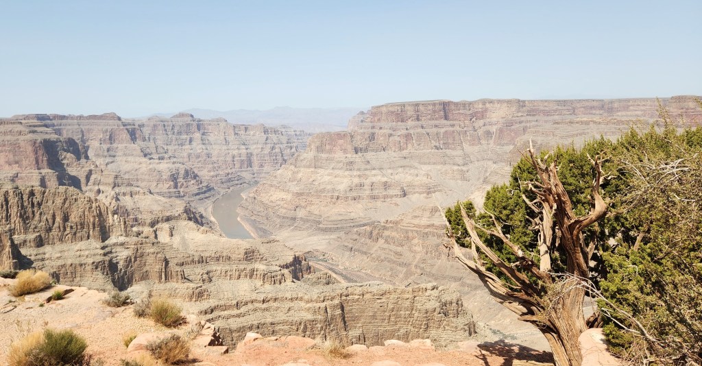
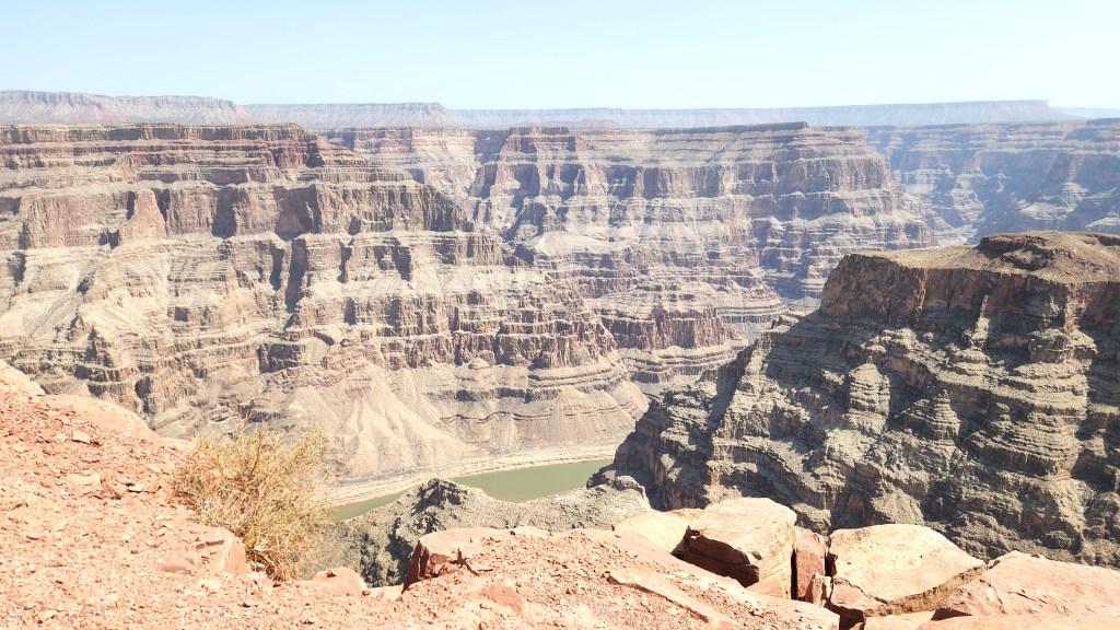
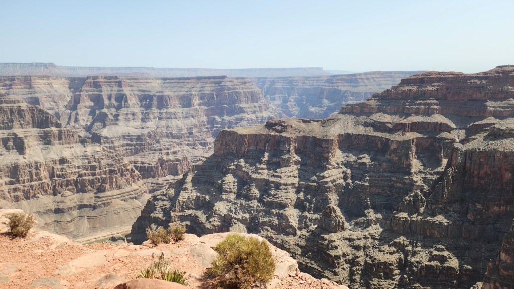
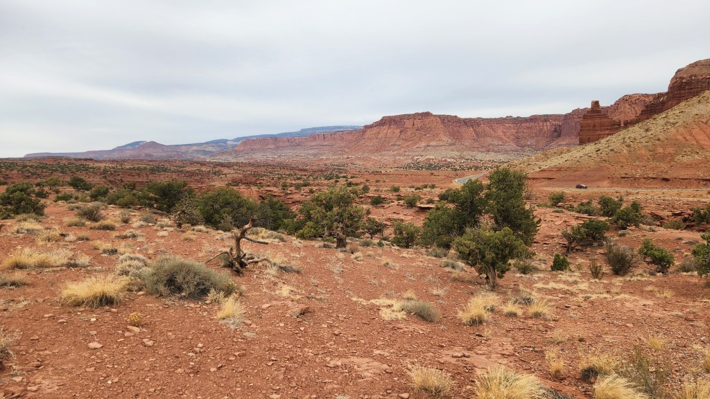
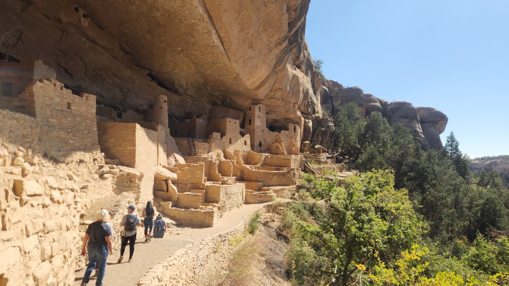
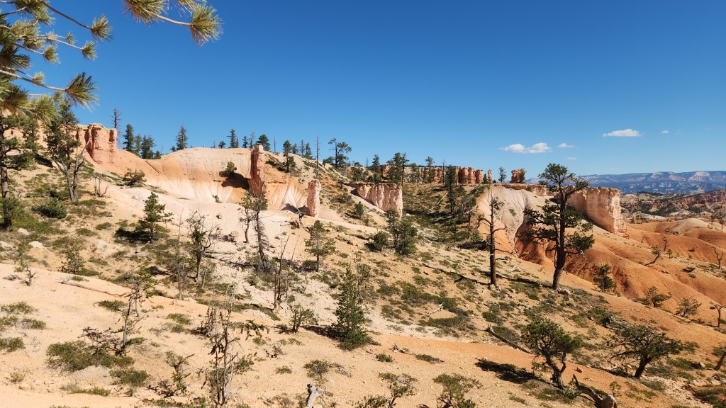
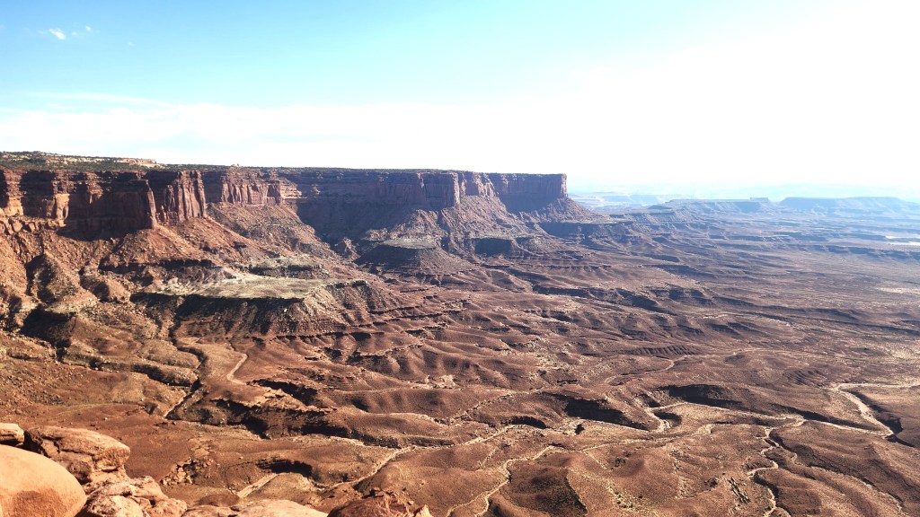
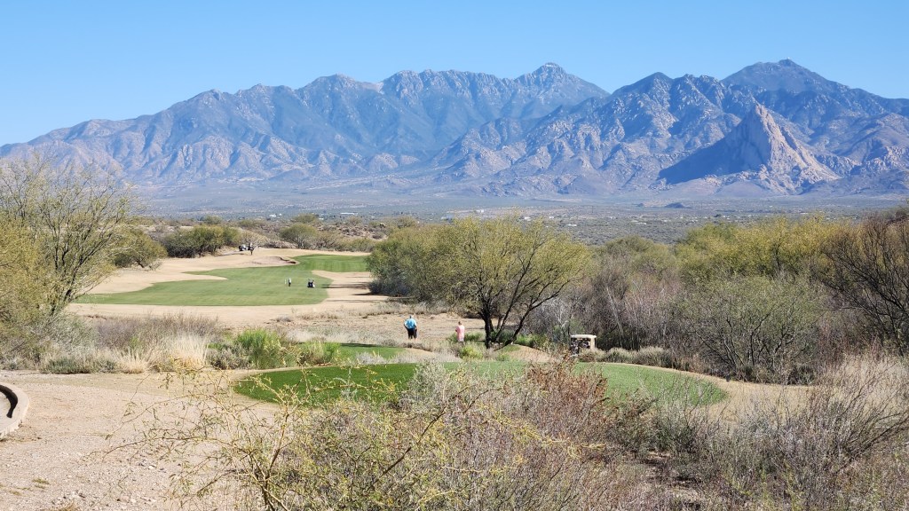
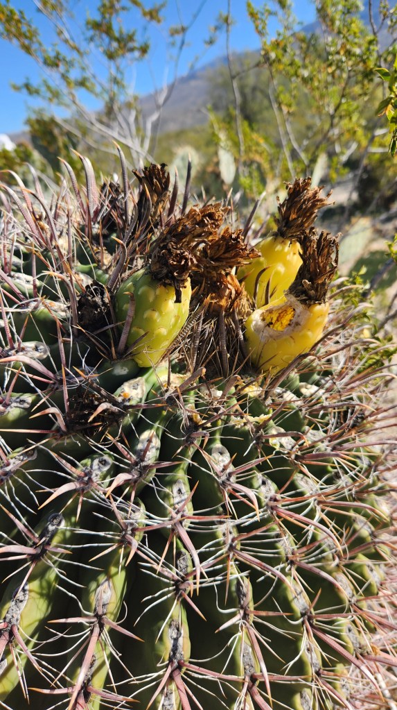
- Saguaro National Park East: We also visited this National Park, located about 20 miles east of downtown Tucson, during The Saaris’ (Sorta) Safe Sojourn, so this also qualifies as a Redundant Redo. We drove around the well-maintained Cactus Forest Loop Road, stopping frequently at various overlooks for photos and short hikes.
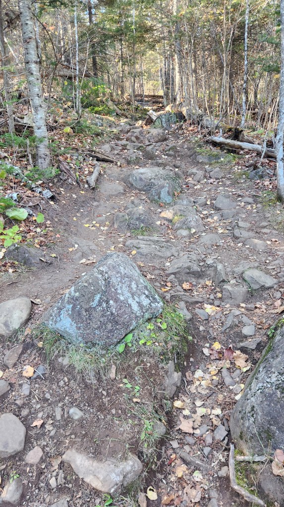
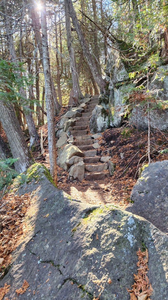
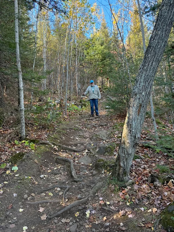
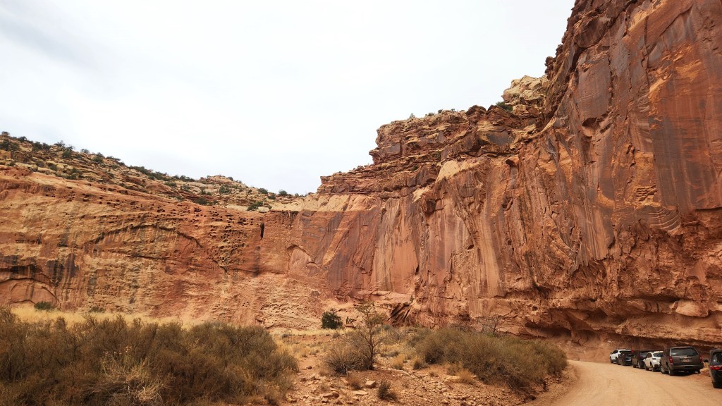
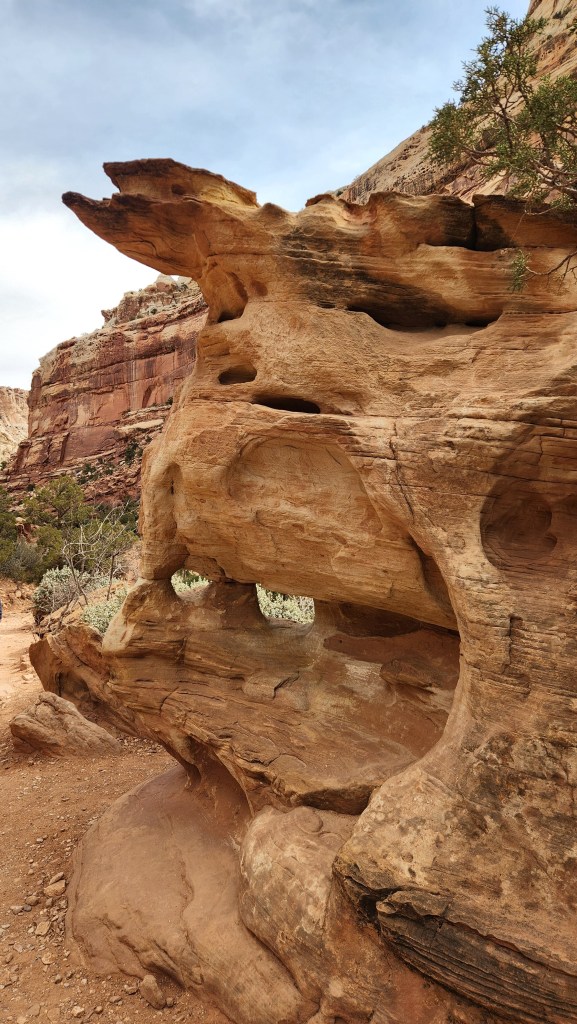
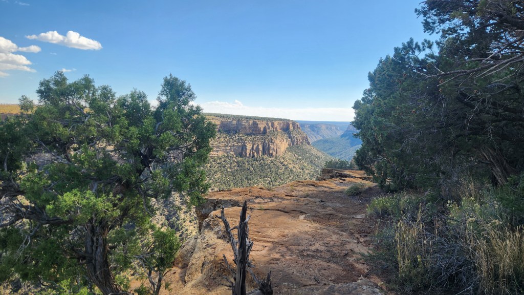
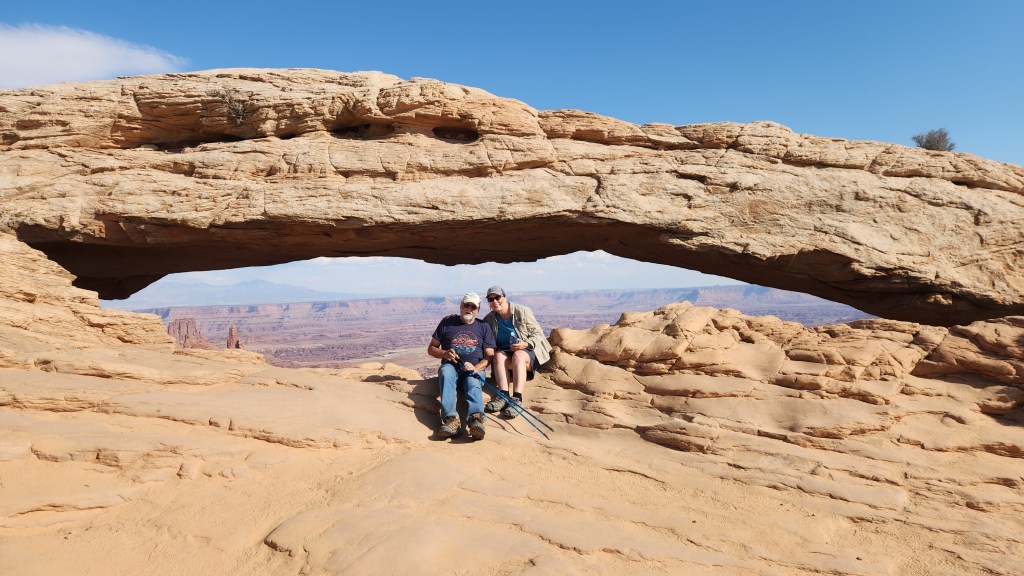
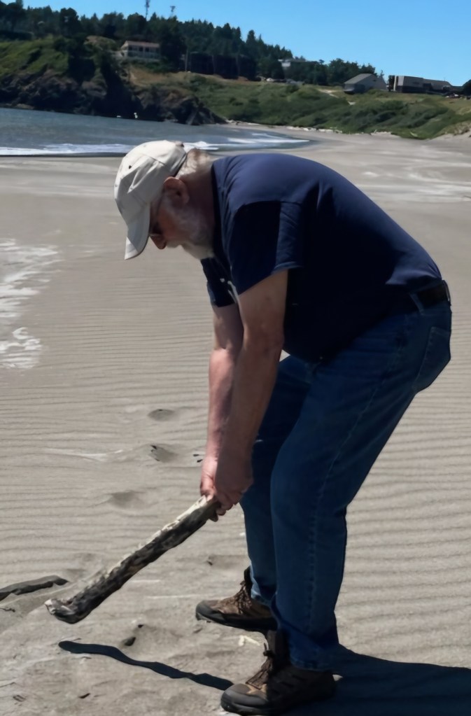
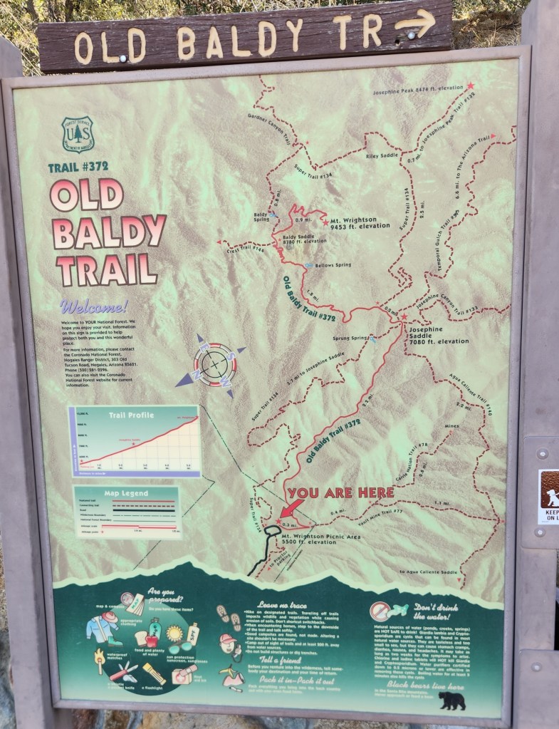
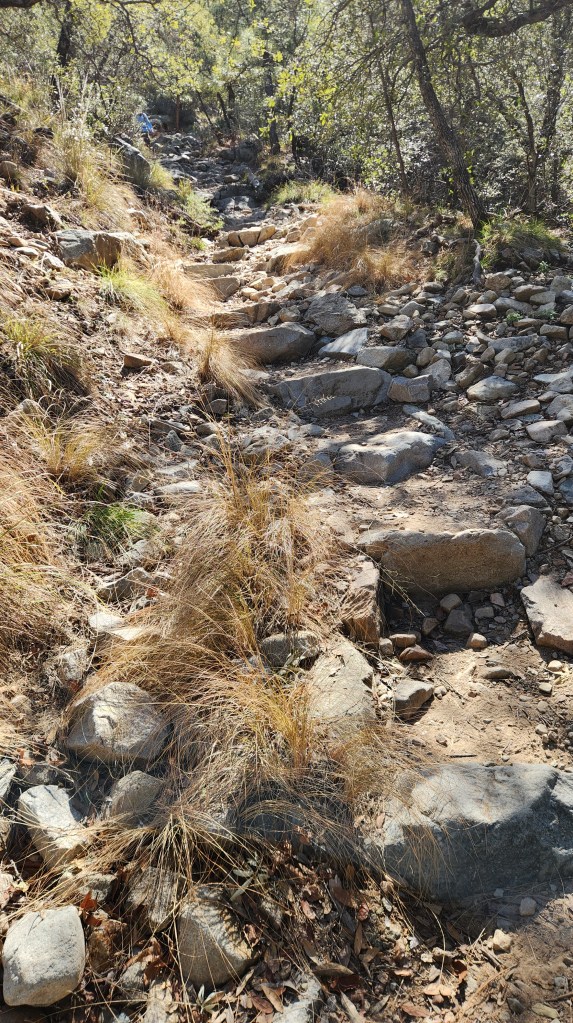
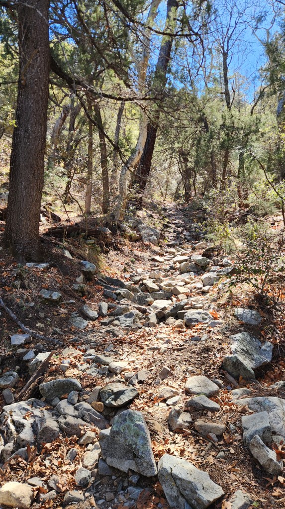
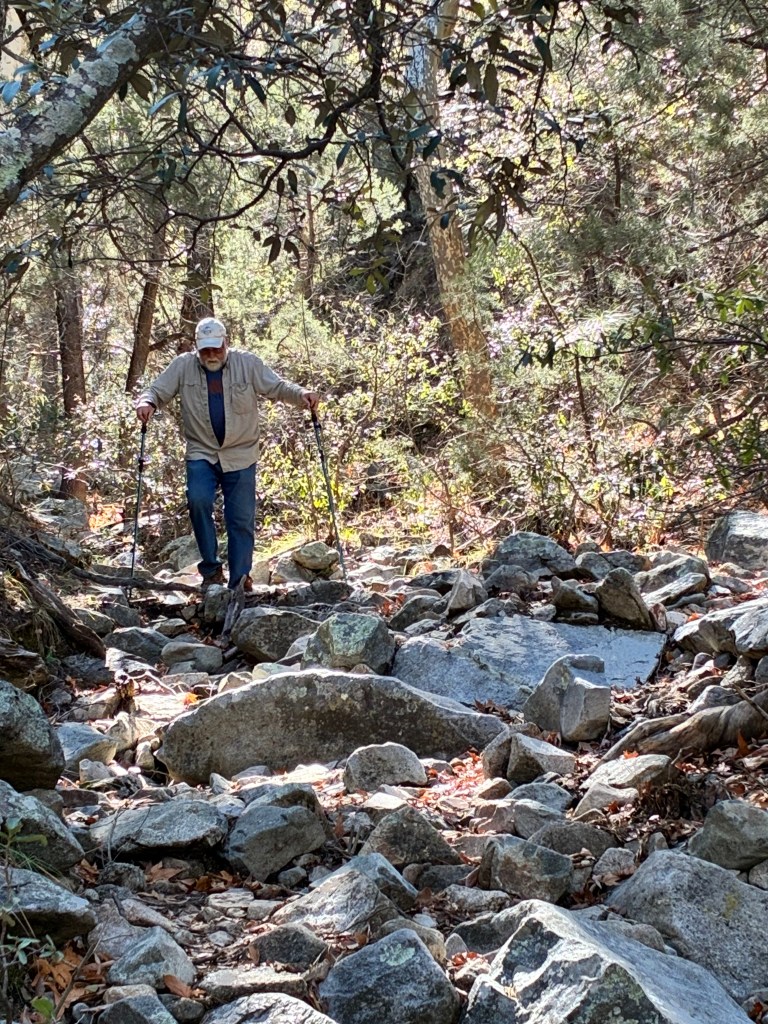
- Madera Canyon: We visited here during last year’s stay in Green Valley, so again – Redundant Redo. We hiked along the same trail we made a futile attempt at last year and, while we got quite a bit farther this time, about a mile, I had to give up well before the desired objective. Even with my walking sticks, the trail just got too rocky and precarious for me – not to mention that it is almost all uphill. Nevertheless, this is a beautiful place and we enjoyed our visit.
- Tubac Presidio State Park: You guessed it – we did this last year also. The trail we took here was much easier than at Madera Canyon, and parts of it follow the historic Juan Bautista de Anza trail followed in 1775-76 by a Spanish delegation travelling to the San Francisco Bay to establish the Presidio and mission there. It would have taken us a bit too long to go all the way to San Francisco, so we turned back after a couple of miles.
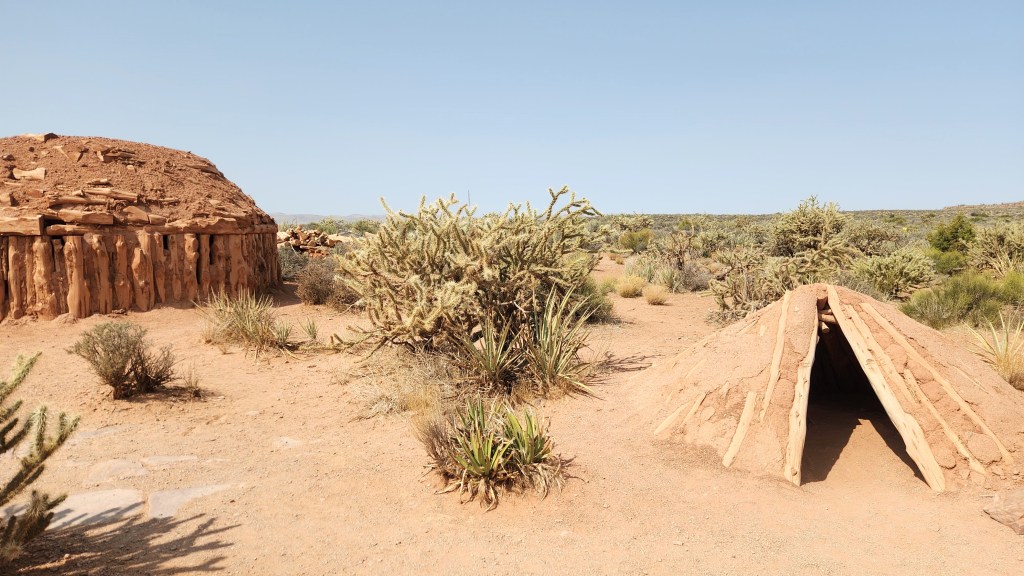
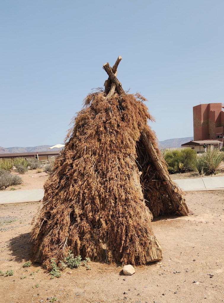
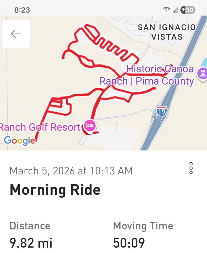
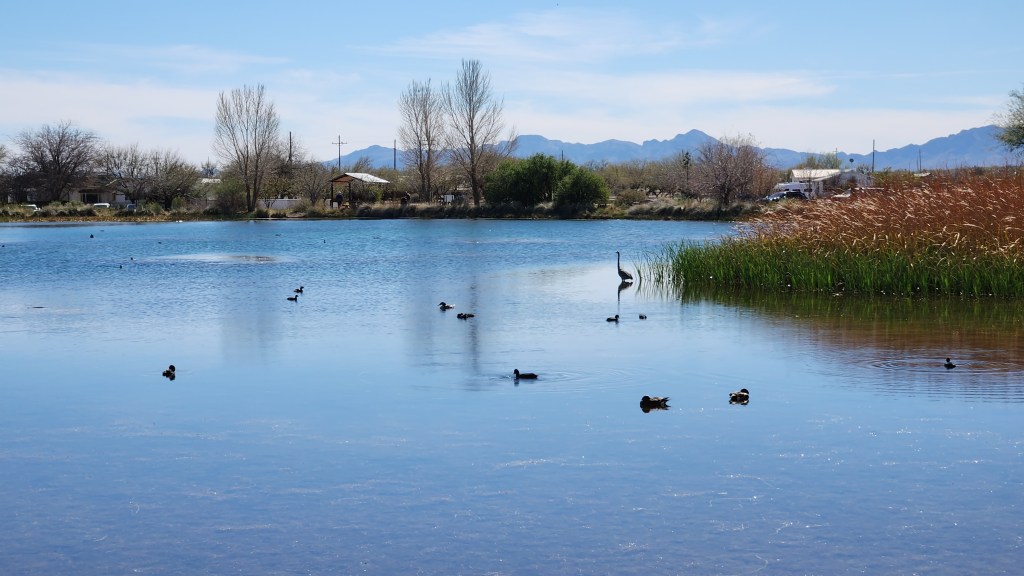
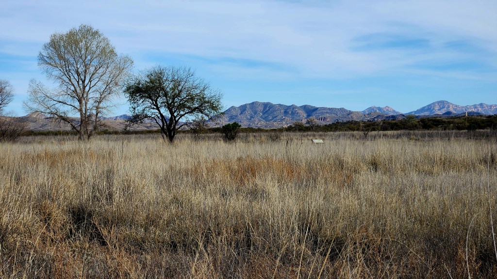
- Historic Canoa Ranch: Yup, did it last year. It’s only a mile from the Resort, and it has a lovely 2.5-acre man-made pond inhabited by waterfowl and surrounded by desert plants. A Cienega, or marsh, was also created north of the pond to provide enhanced habitat for wildlife. The de Anza trail also runs alongside the park.
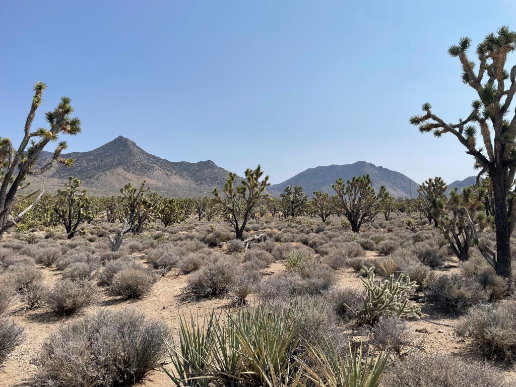
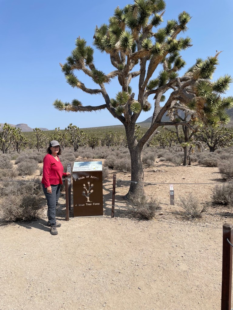
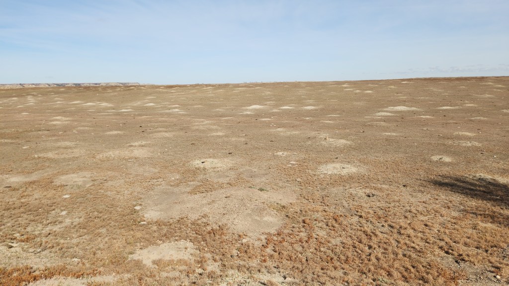
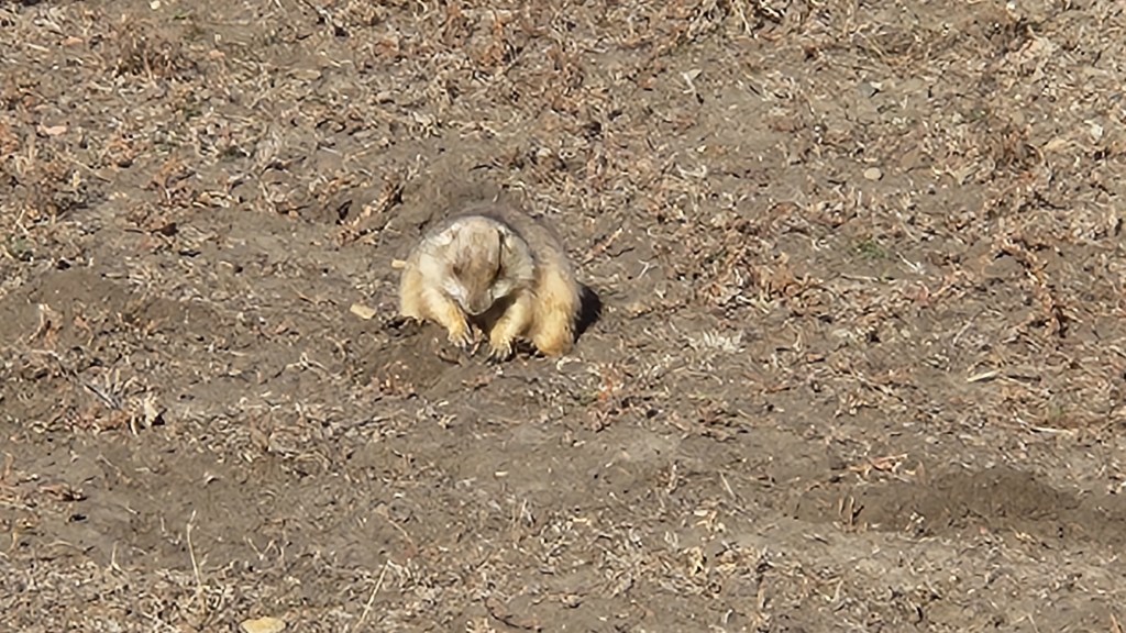
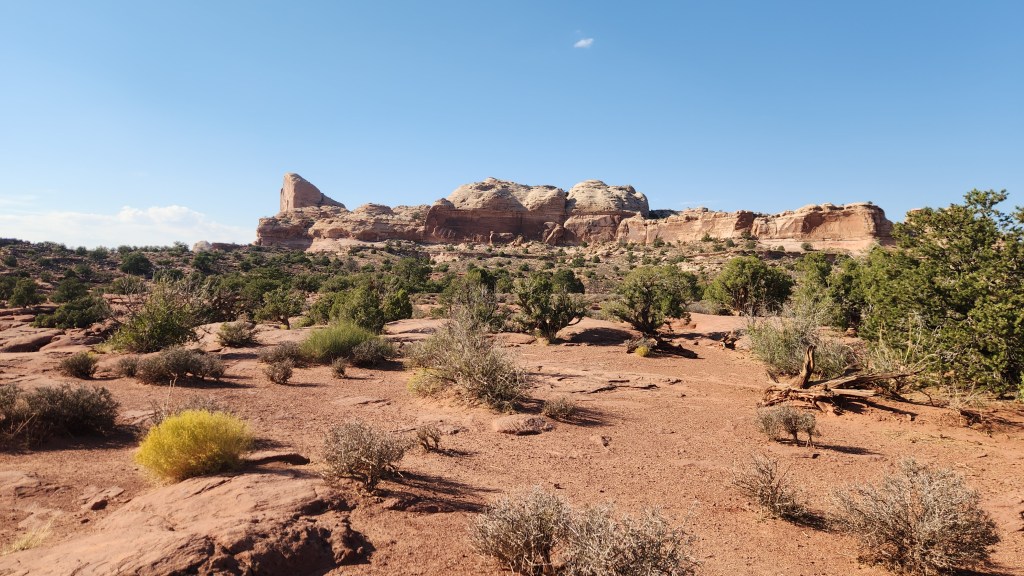
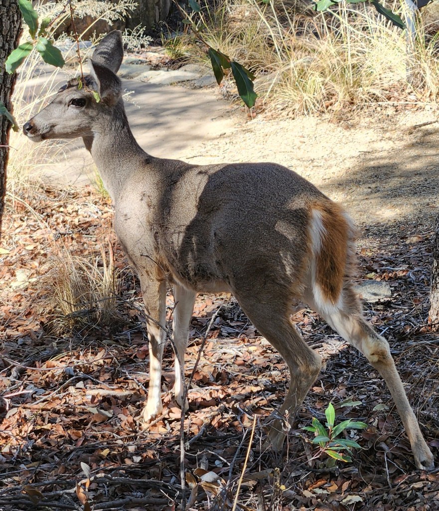
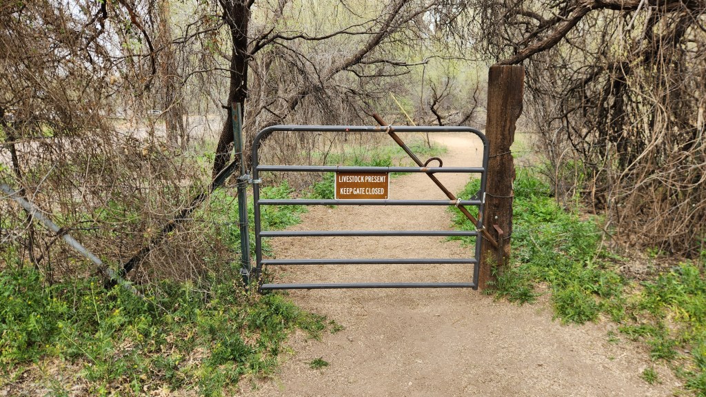
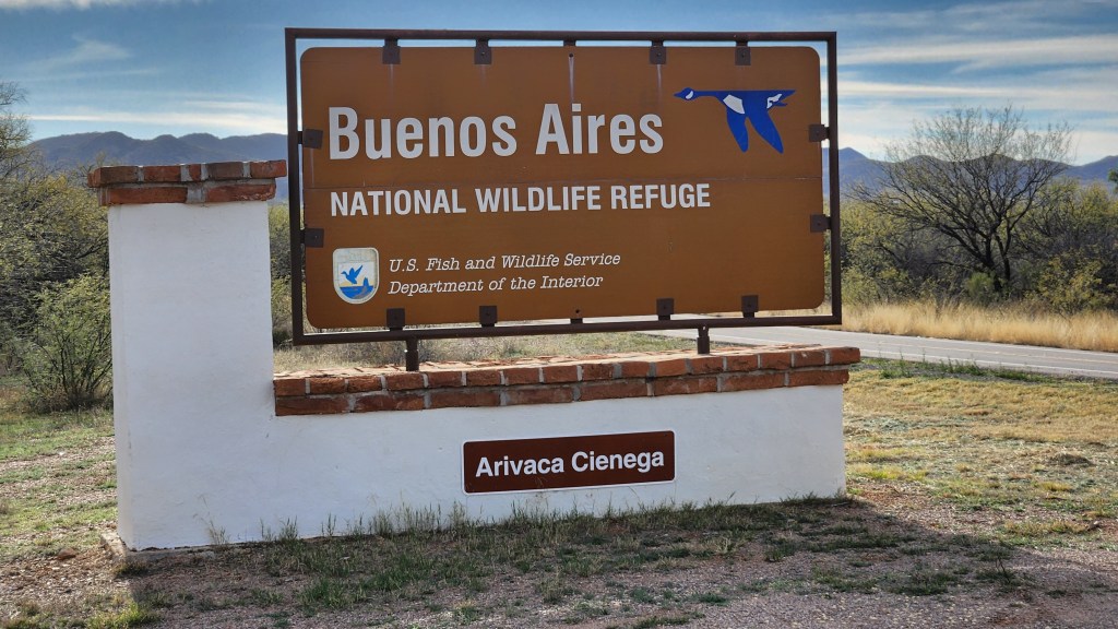
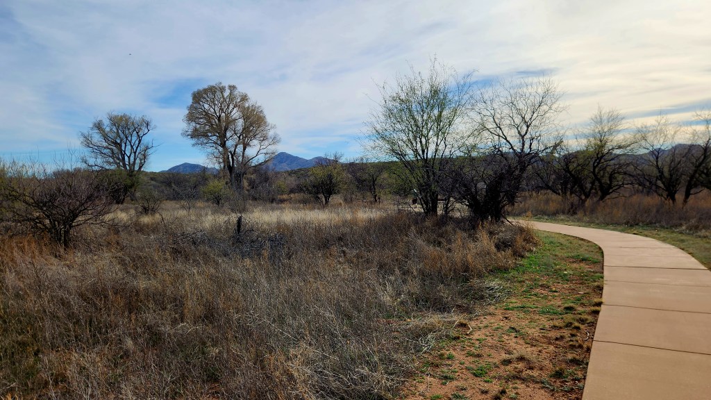
- Buenos Aires National Wildlife Refuge: OHO! This was something new for us! We drove to the town of Arivaca, about 30 miles southwest of the Canoa Ranch Resort along a scenic, winding road, where we stopped at a General Store. I bought some delicious root beer (WBC, I think it was), and on our way out of town we stopped at this previously undiscovered Wildlife Refuge. The area we walked through was just a small part of the 117,464-acre refuge. The original settlement of the area took place in 1864 when Pedro Aguirre, Jr. built a homestead in the Altar Valley, naming it “Buenos Ayres” (good air) and establishing a ranch, which over time became a significant livestock operation. Decades of overgrazing and fire suppression had turned the grassland into shrubland when the U.S. Fish and Wildlife Service purchased the ranch in 1985 under the Endangered Species Act, specifically to prevent the extinction of the masked bobwhite quail. The refuge uses prescribed burning to restore native grasses, reduce mesquite trees, and enhance the landscape. We spent an hour or so walking the easy trails but didn’t see any wildlife, probably since we were there during the hot afternoon. Maybe we’ll visit again someday in the morning or evening when the animals might be out.
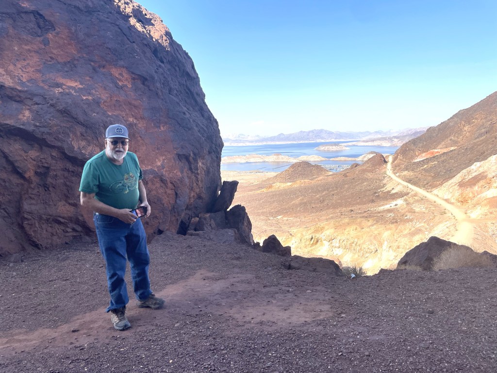
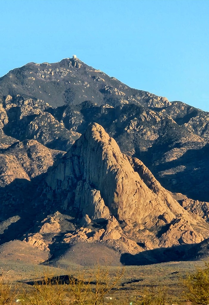
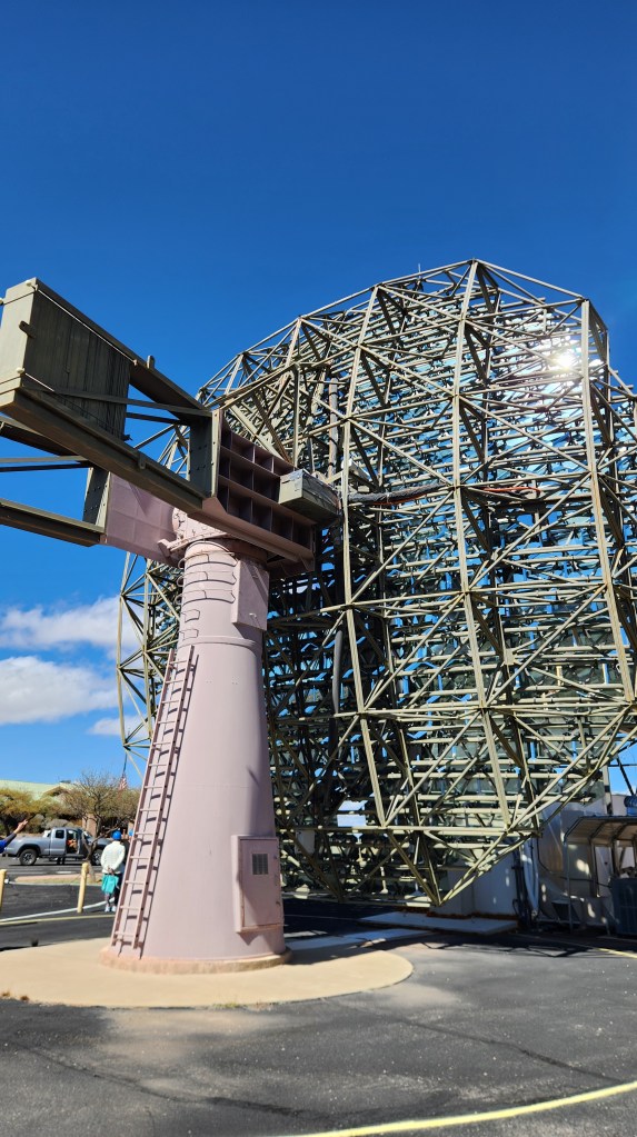
- Fred Lawrence Whipple Observatory: This one was a half been-there-done-that. We had tickets for a tour during last year’s visit, but Pat got sick and couldn’t make it. However, I enjoyed the tour very much, so we got tickets again this year and both went. The Observatory is the largest satellite facility of the Smithsonian Astrophysical Observatory (SAO), part of the Center for Astrophysics | Harvard & Smithsonian. Located on Mt. Hopkins about 12 miles southeast of the Canoa Ranch Resort, this remote site is home to a number of telescopes, including the 6.5-meter MMT Observatory. The observatory also includes the Very Energetic Radiation Imaging Telescope Array System (VERITAS) gamma-ray observatory, a 4-telescope array designed to find Earth-like exoplanets, and a number of other telescopes used for a wide range of astronomical observations. The tour specifically covered the VERITAS, but the Visitor Center included a number of interesting exhibits on a range of astrophysics topics. (We had a small world encounter when some other visitors enquired about my Grand Marais sweatshirt – they live in the town on Lake Superior where we have our summer home.)

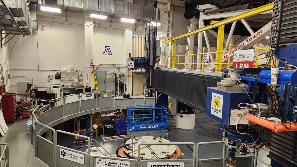
- Steward Observatory and Richard F. Caris Mirror Lab: Another new one! We learned about this place, which is located at the University of Arizona in Tucson, during our tour at the Fred Lawrence Whipple Observatory, as the Mirror Lab manufactured the large mirror used in the MMT telescope. This lab manufactures the largest telescope mirrors in the world, using an advanced process to cast glass over honeycomb structures in a rotating furnace. The curved mirror surfaces are then polished to incredibly tight tolerance levels to provide the sharp focus and clarity needed for today’s advanced optical telescopes. A fun fact from our tour guide: during the fifteen minutes she took to explain the polishing process, our fingernails had grown more than the tolerance of the polished surface! The lab has produced something like 20 mirrors in 40 years, and no other manufacturer in the world can match the lab’s capabilities. We also learned that the Astronomy Department at the University of Arizona has the largest contingent of astronomy professionals in the entire world. This was a very informative and interesting tour lasting about an hour – I highly recommend it for Tucson visitors.
- Community Performance and Art Center (CPAC): Finally, I’ll mention one last new thing we did in Green Valley this year – attend a concert at CPAC. This concert featured four musicians playing 17th century instruments, a harpsichord, two violins, and a cello. Their repertoire included works by well-known composers as well as some composed by the players themselves. While they were not quite at the level of excellence that we regularly experience when we listen to the St. Paul Chamber Orchestra, they were very enthusiastic and engaging, and we enjoyed the concert very much.
So, in summary, at least the first part of this adventure was indeed an (Almost) Redundant Road Trip Redo. Okay, that’s enough for Part 1. Stay tuned for more Parts to come …