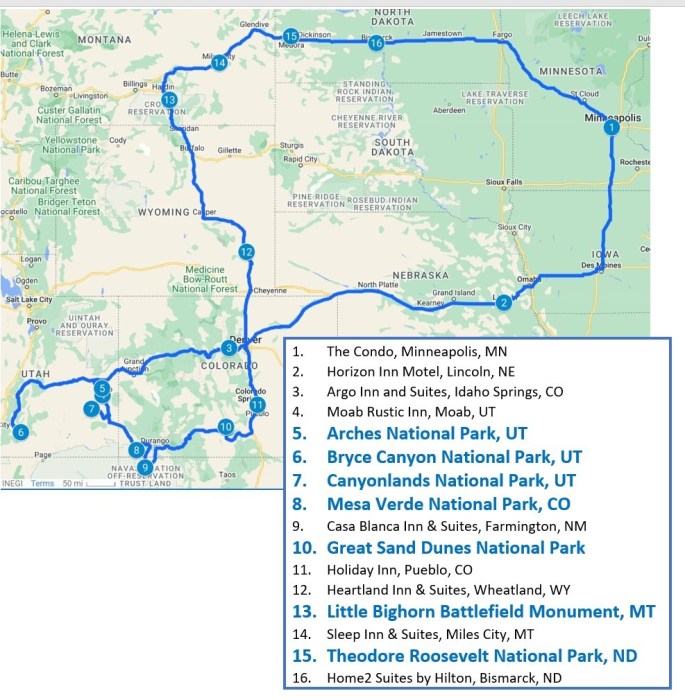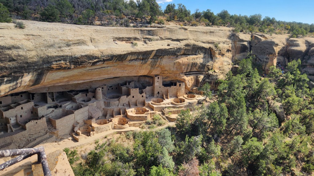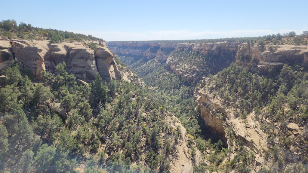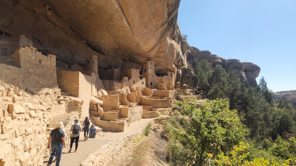
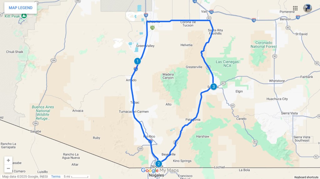
Part 1 of this travel blog series told of our decision to head south to escape the Minnesota winter and described our travels to Green Valley, AZ. We arrived at the Canoa Ranch Golf Resort at 7:30 PM on February 17. We spent a total of five weeks at the resort, and except for about ten days during which first I and then Pat came down with rather severe upper respiratory ailments (the first real illnesses we’ve experienced in about five years), we thoroughly enjoyed our stay. During that time, at least during the times that I wasn’t out golfing at one or another of the many courses in the area, Pat and I visited a number of interesting places in the surrounding area. Here’s a map of the main places we visited:
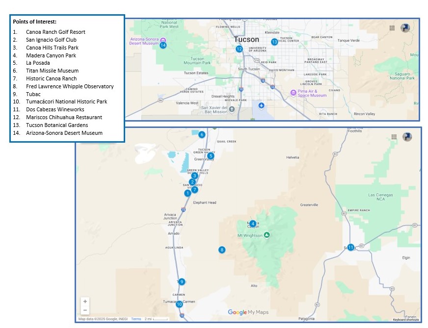
This installment describes these places, in no particular order. So, without further ado, here goes.
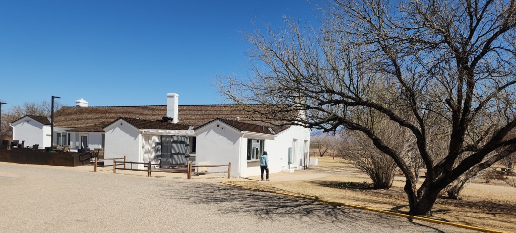
Canoa Ranch Golf Resort: The resort has a total of 98 rooms located in about eight buildings distributed around the site. Our accommodations, which we had reserved five months in advance, consisted of a nicely furnished suite complete with a kitchen, living area, bedroom, shower and bath, multiple storage closets, and a laundry closet with washer and dryer. A balcony accessible via sliding doors from both the living room and bedroom overlooked the ninth hole of the golf course and provided impressive views of the mountains to the south and east. A full-time housekeeping staff provided daily refresh service if desired (we rarely used that) and once-weekly thorough cleaning (on Thursday afternoons in our case). Free breakfast was provided daily in the main resort building, only a short walk from our building. Outdoor parking was available in front of our building, and the staff even marked off a parking spot for us with access to an electric outlet for charging our EV.
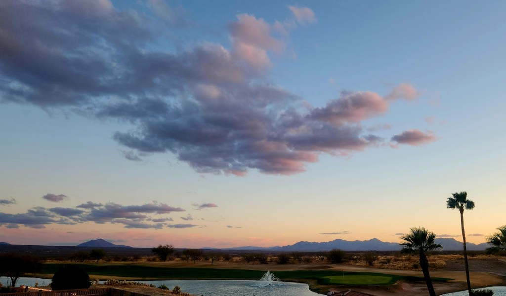
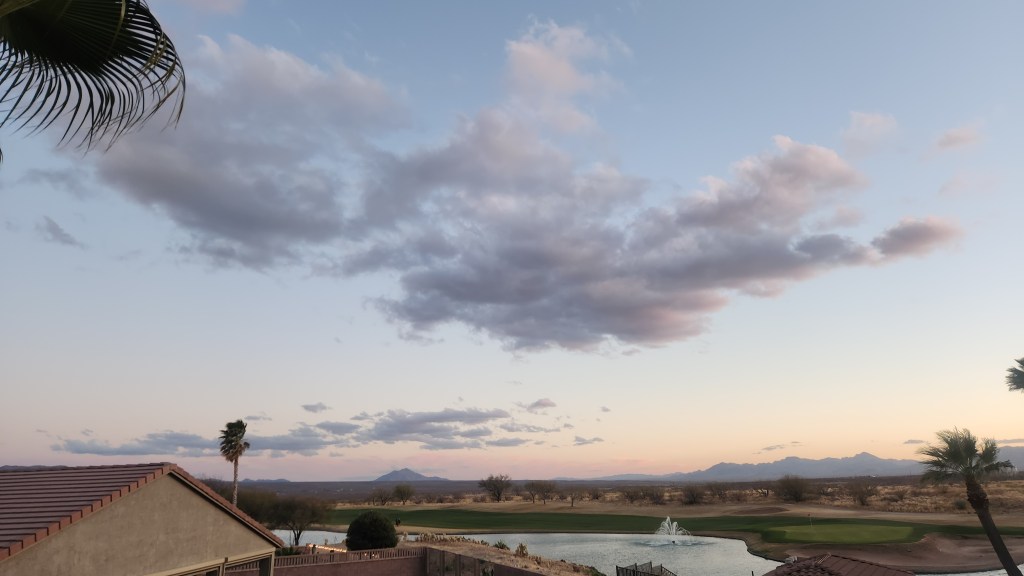
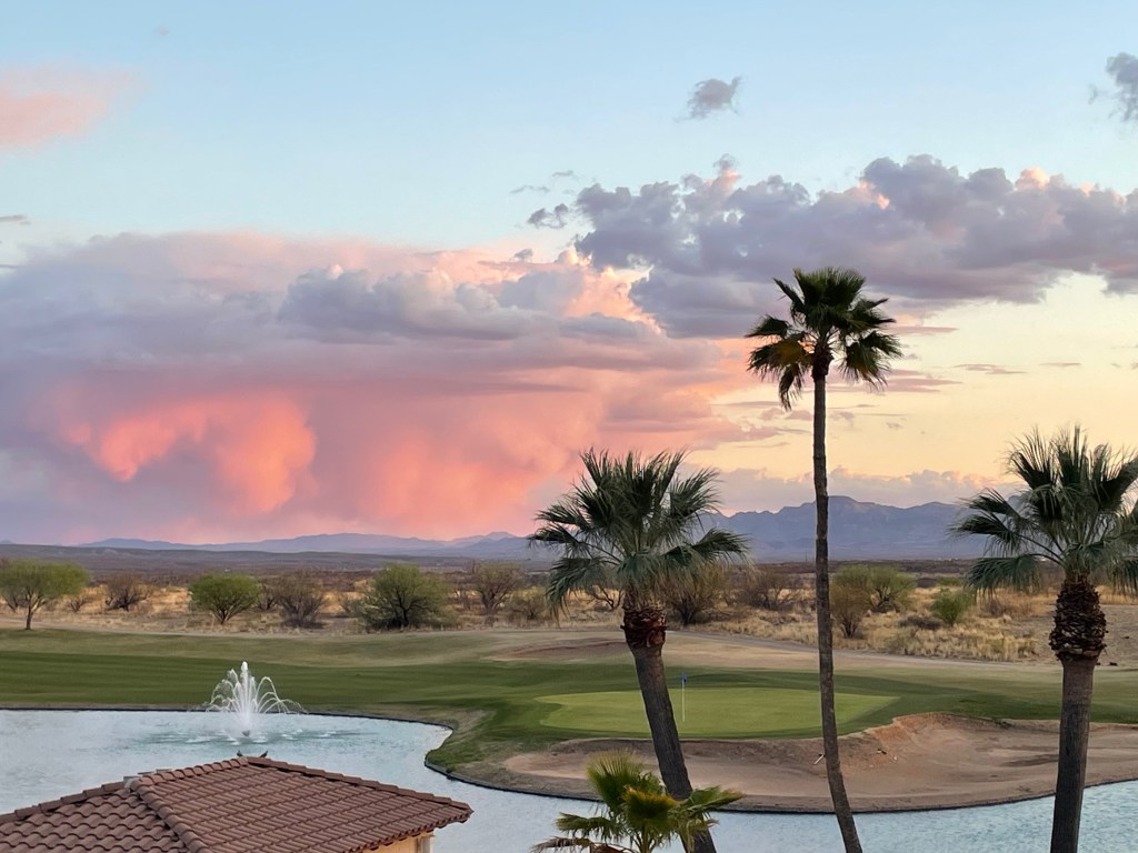
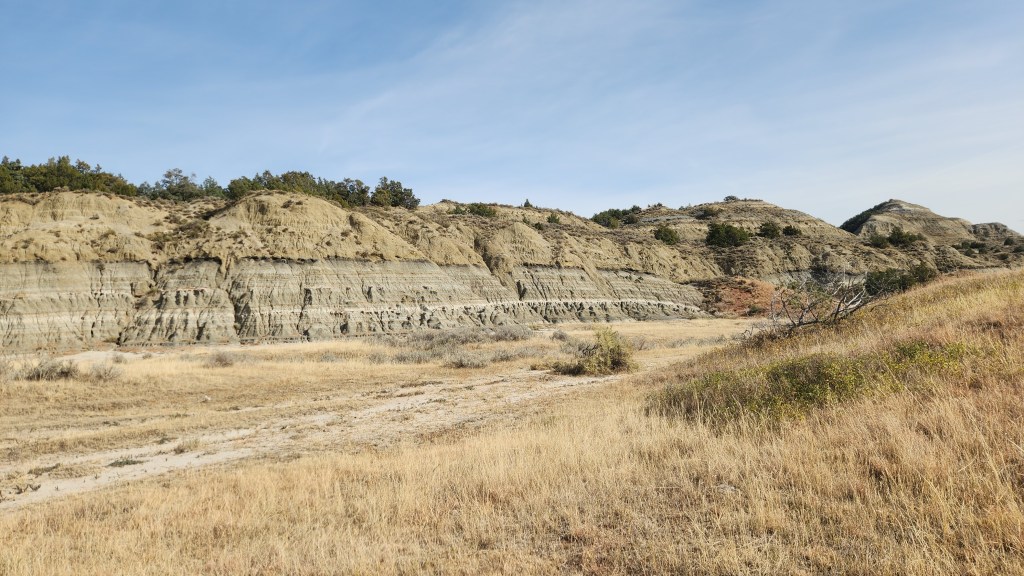
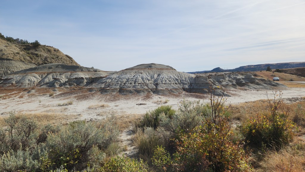
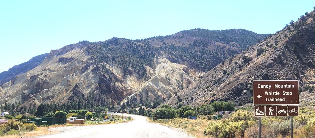
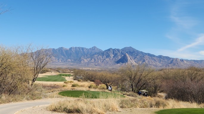
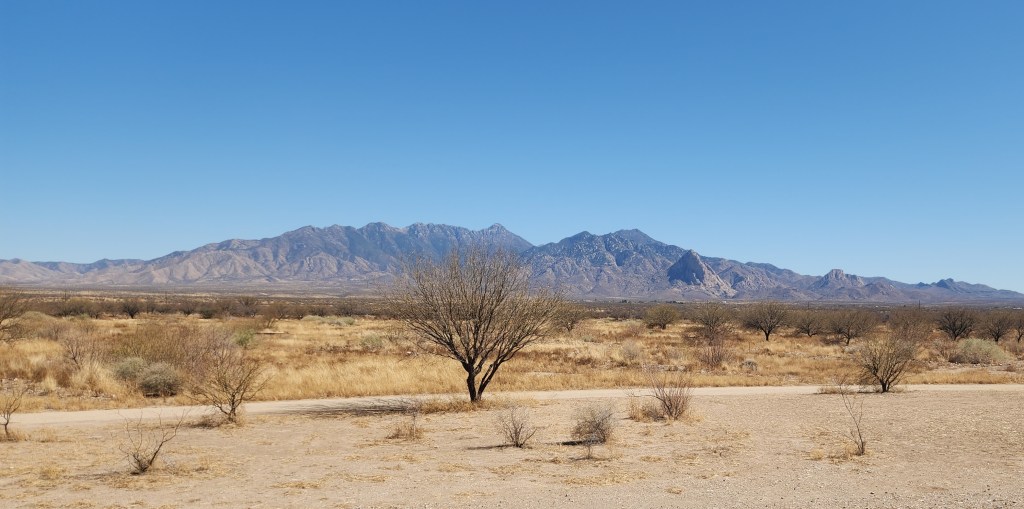
Golf Courses: I spent a fair amount of my time playing golf, primarily at the course owned by the resort. I played a total of seven 18-hole rounds at the Canoa Ranch Golf Course, one round at the San Ignacio Golf Course, one 18- and one 9-hole round at the Haven Golf Course, and one 9-hole round at the Torres Blancas Golf Course. The Torres Blancas outing was intended to be 18 holes, but I abandoned ship after 9 because the wind was blowing so fiercely on the particular day I tried it. With that one exception, the weather was quite nice, with temperatures ranging from the upper 70s to mid-90s with little or no wind on the days I played. (My Gunflint Hills Senior League partner Steve, who joined me for a couple of rounds as he was visiting relatives in the area, found the 90+ degree afternoon temperature at Canoa Ranch excessively debilitating after escaping the frigid Grand Marais winter, but managed the mid-70s morning temperatures at Haven much better.)
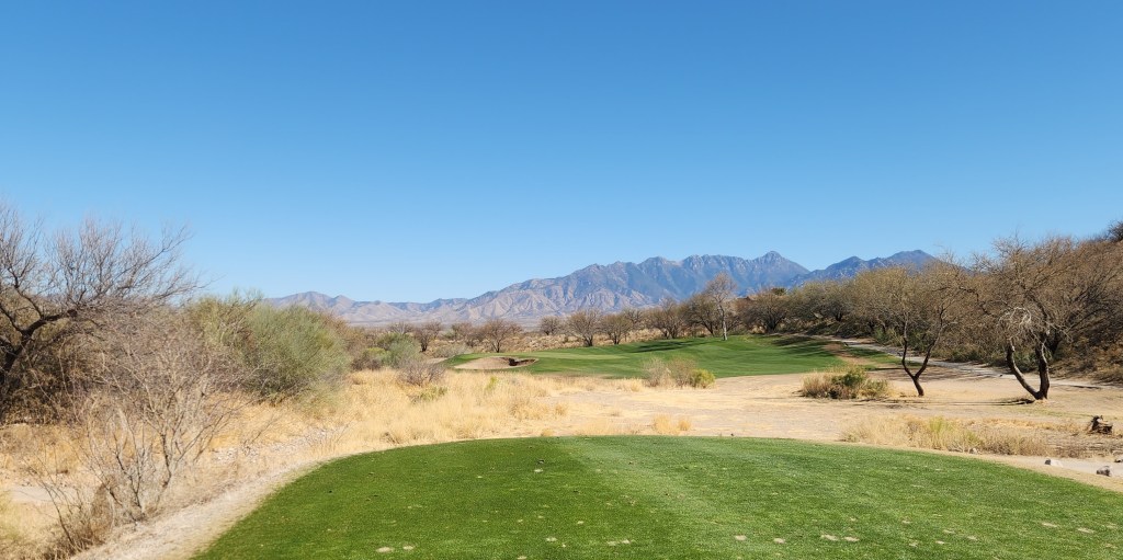
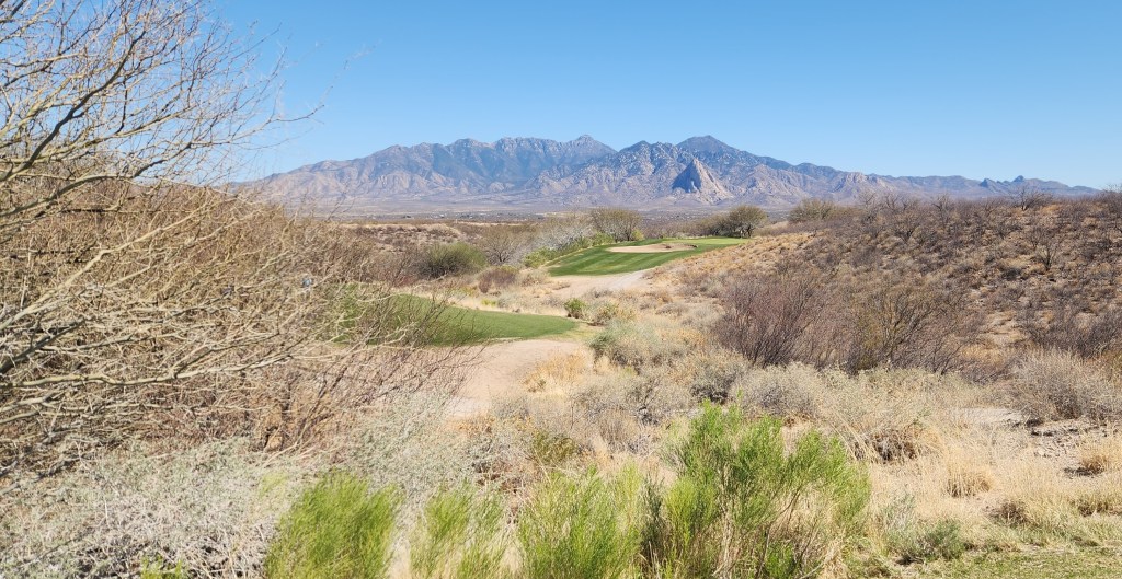
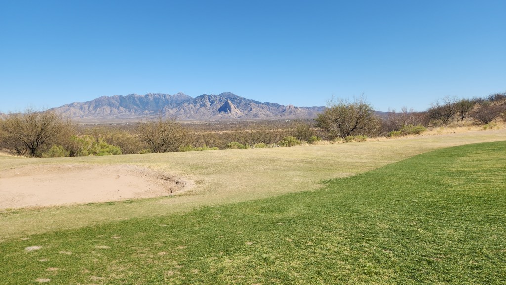
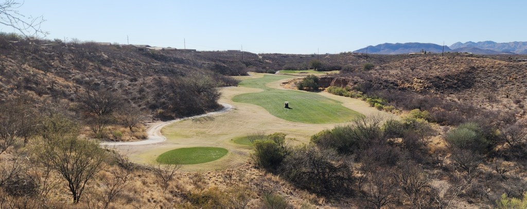
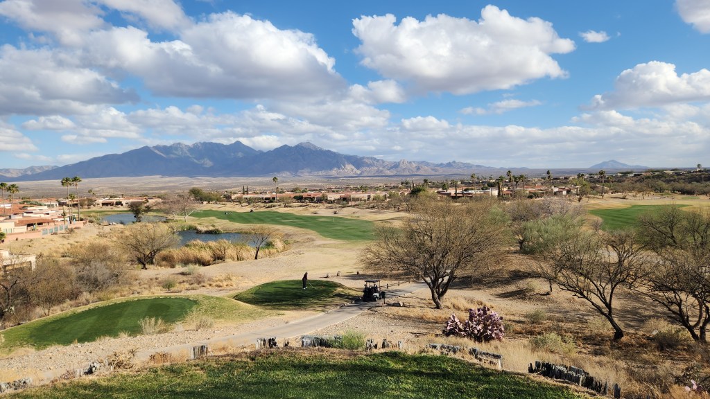
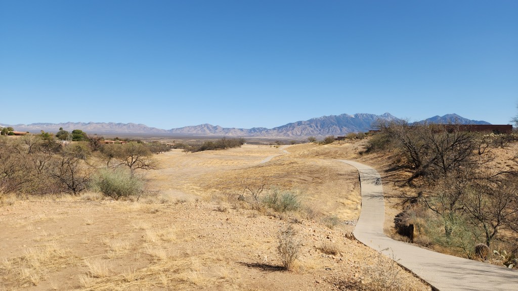
Canoa Ranch was my favorite of the lot, with beautiful mountain views and interesting hole layouts. San Ignacio was in slightly better condition, especially the sand traps (which were almost unplayable at Canoa Ranch), but had a much more noticeable housing-development vibe. It also cost more and I was only reluctantly allowed on the course in my blue jeans (and was told not to wear denim if I ever came back). Although I had procured some non-denim pants in anticipation of this classist and outdated policy, I instead opted not to show up there again and instead played happily in blue jeans at the other courses. Torres Blancas was also a nice course, where I would have played again except for time lost due to my bout of illness. Haven was rather uninteresting compared to the others and suffered from many wet spots due to a leaky watering system, but was the easiest in terms of scoring.
Here are some photos to provide a flavor for the two nicest courses:


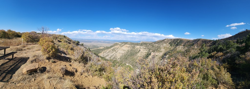
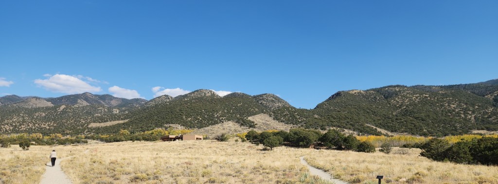
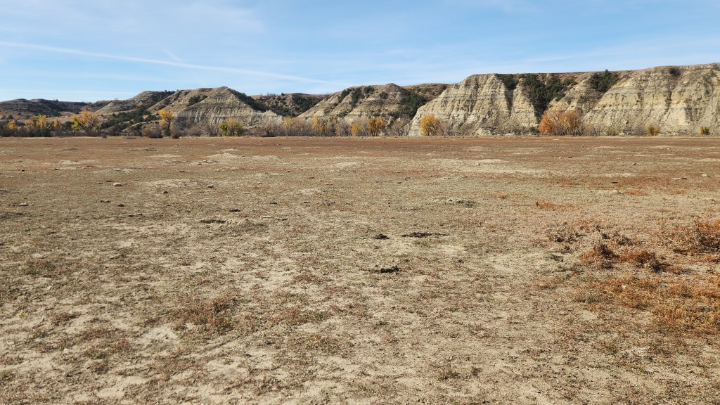
Canoa Hills Trails Park: This site is essentially a golf course that has gone on to its version of Valhalla. Once the site of the Canoa Hills Golf Course, it was purchased by Pima County and turned into a very nice walking park when the course developers went belly up. Pat and I went there a couple of times and walked around on the former cart paths, thoroughly enjoying the beautiful scenery.
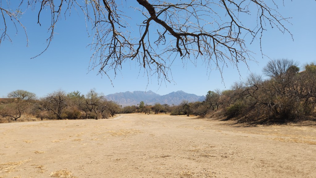
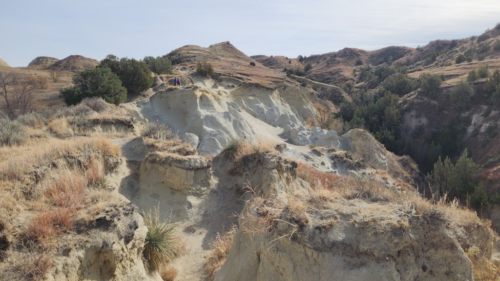
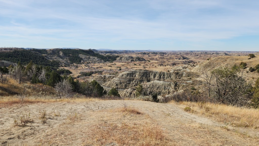
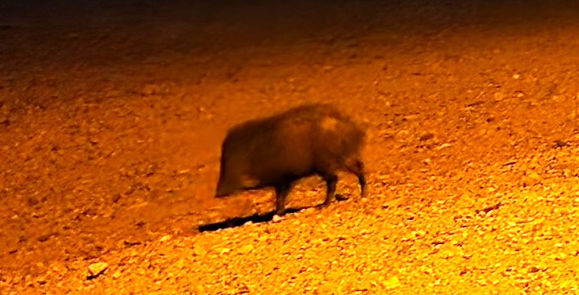
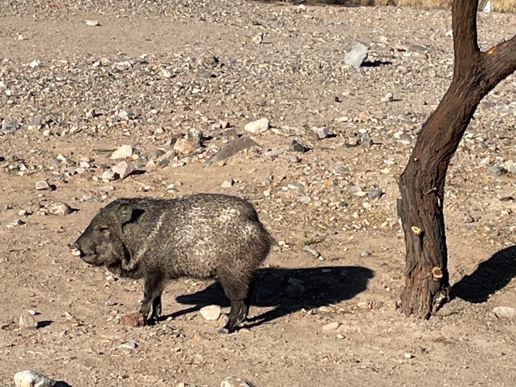
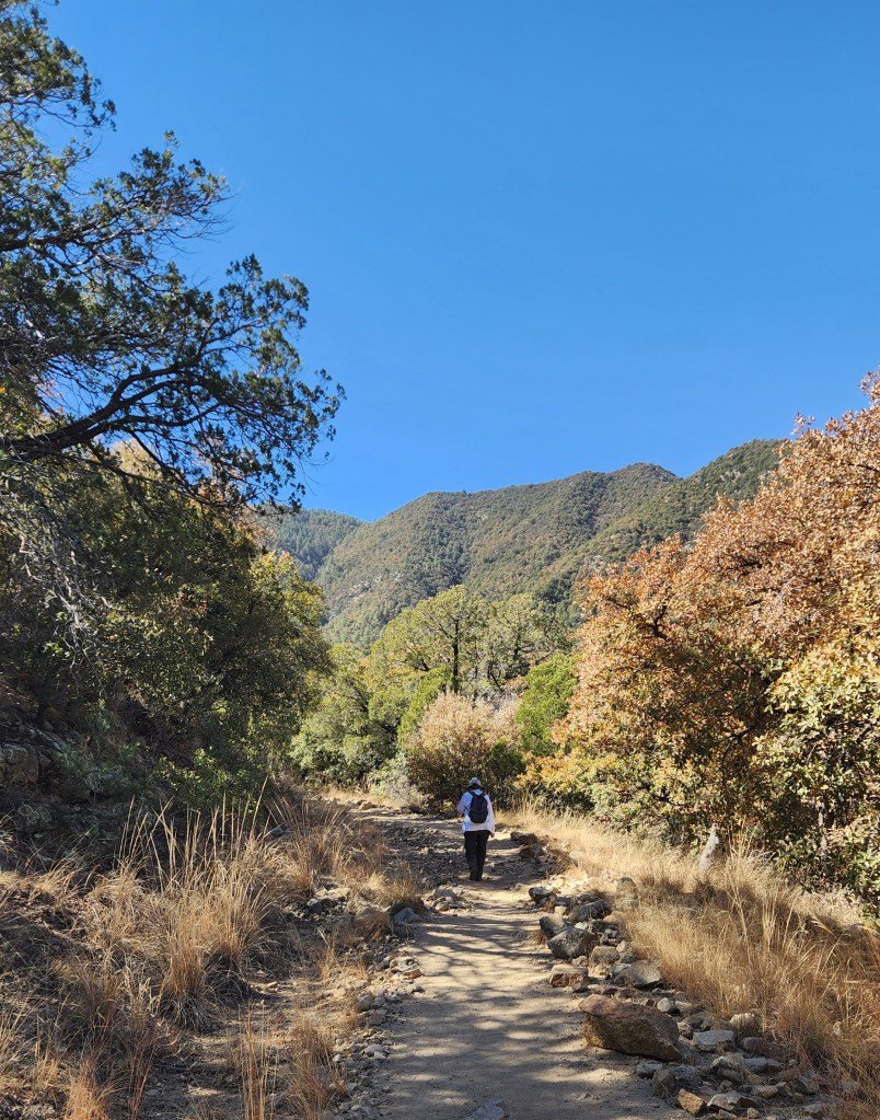
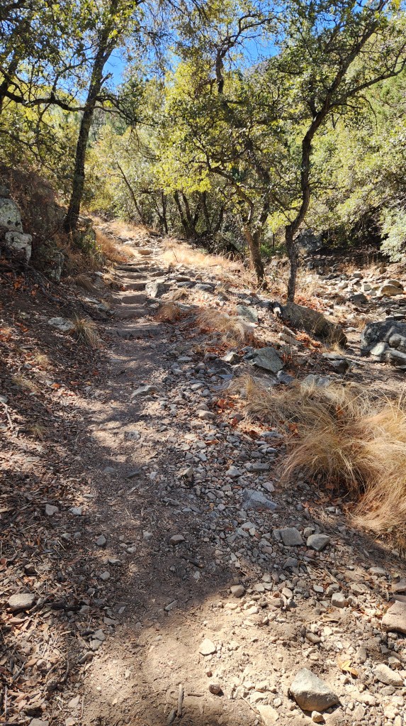
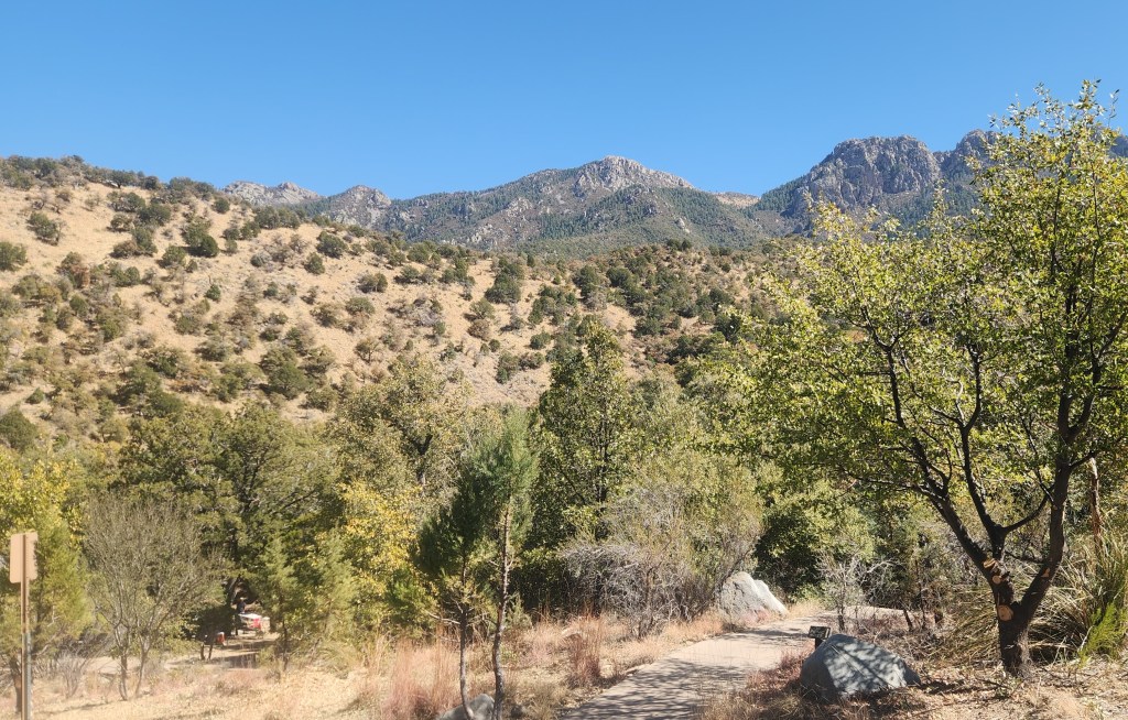
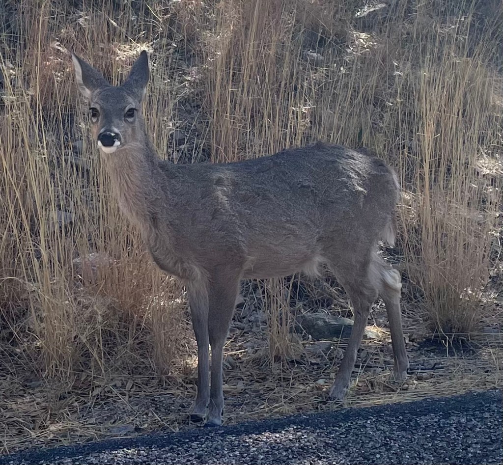
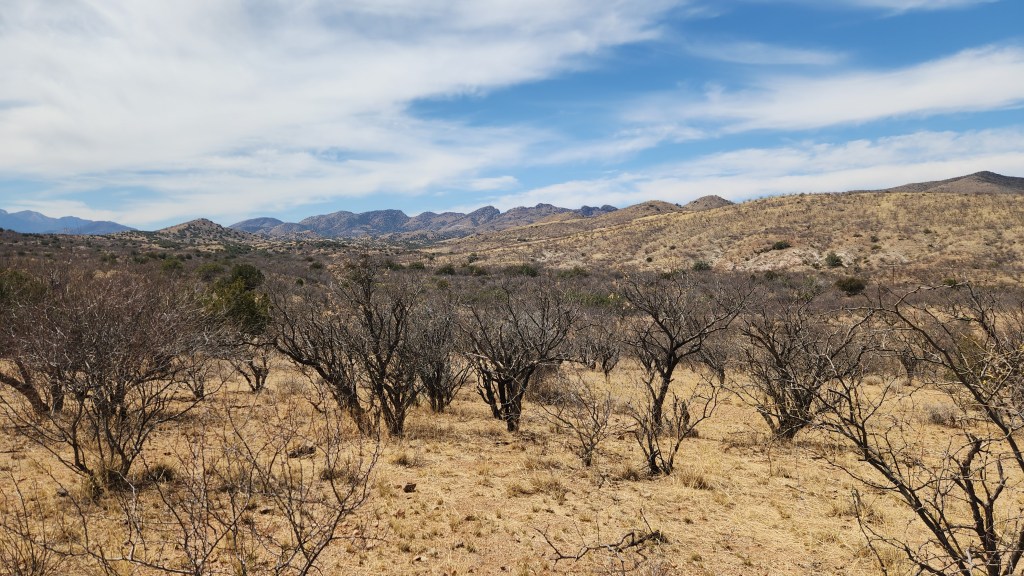
Madera Canyon Park: Madera Canyon is a recreation area within the Coronado National Forest, owned and operated by the National Forest Service, which includes several picnic areas and hiking trails. Pat and I spent an afternoon hiking and driving around there, although we only managed a mile and a half or so on one of the trails before turning back, as it became steeper and rockier as we went along. We enjoyed seeing some large bluebirds and some friendly deer during our meanderings.
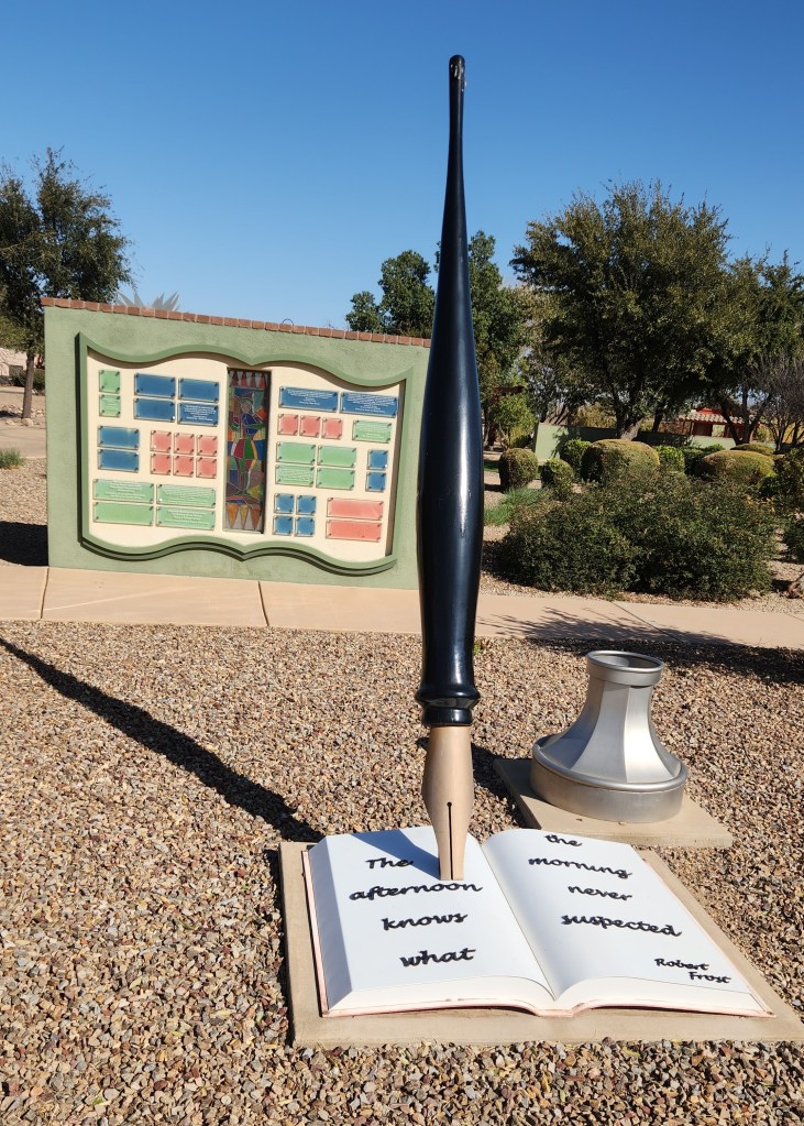
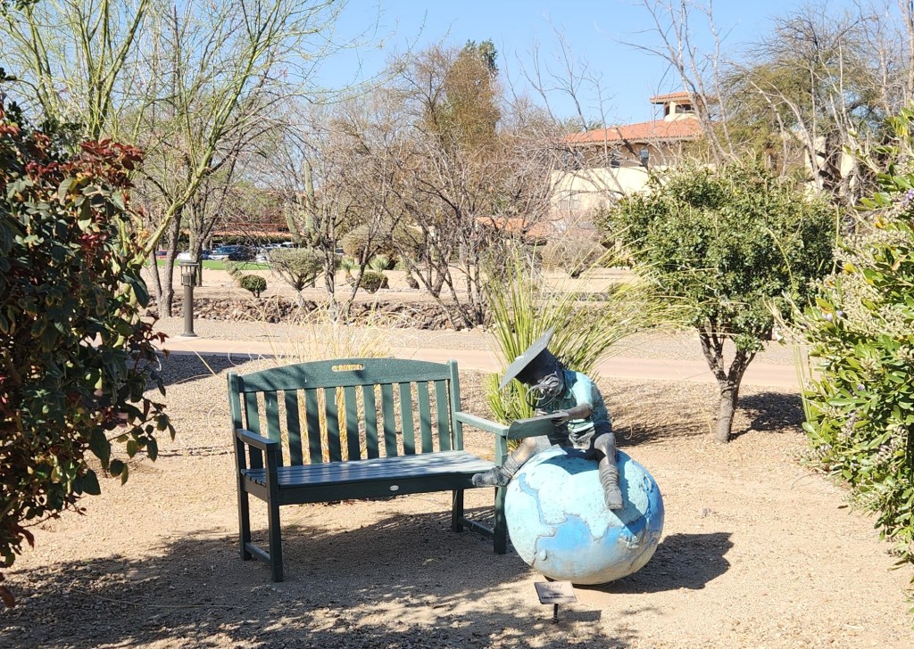
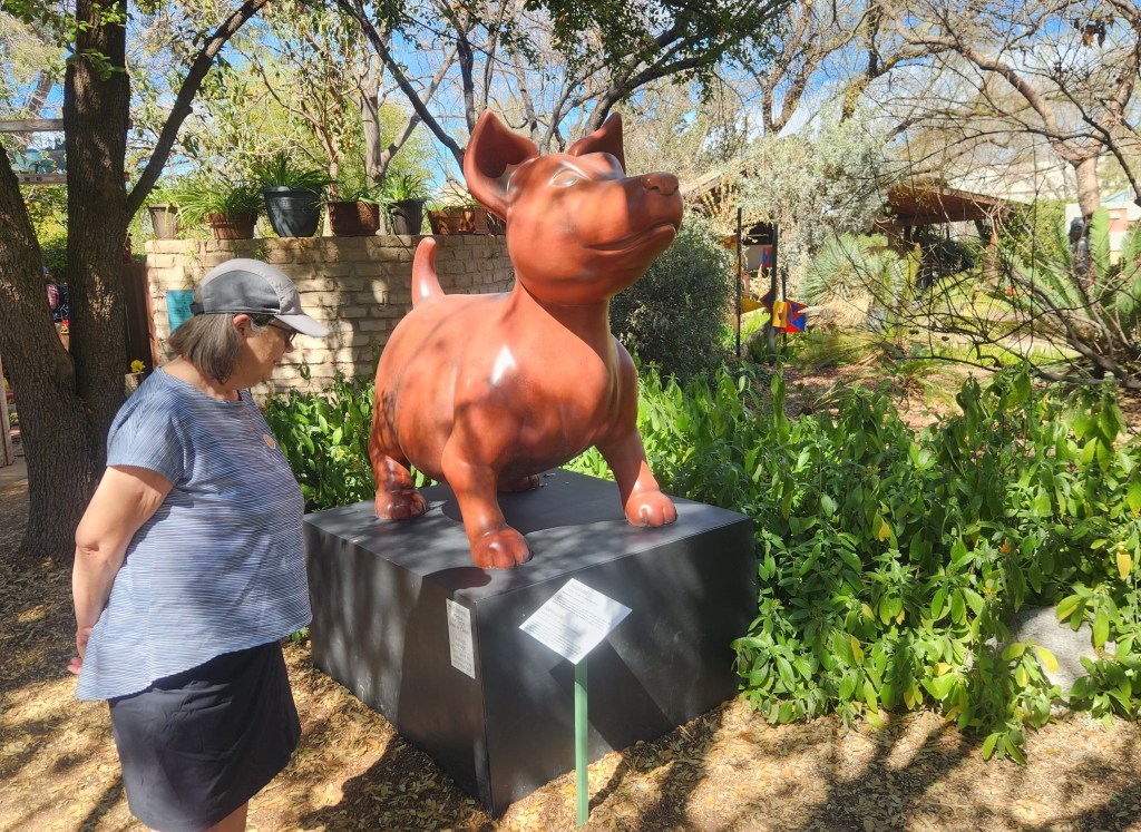
La Posada Central Park: This park is a part of La Posada, a retirement community on the eastern side of Green Valley, located next to some large pecan orchards. It contained an interesting collection of art works scattered throughout the well-groomed grounds, and even had a fun little mini-golf course along with a supply of putters and balls. (I had a much better score there than at Canoa Ranch or San Ignacio.) As a bonus, there was a very nice coffee shop in the mall next to the park called Posada Java — I had a hot chocolate on our first visit and a milk shake the second time while Pat had lattes.

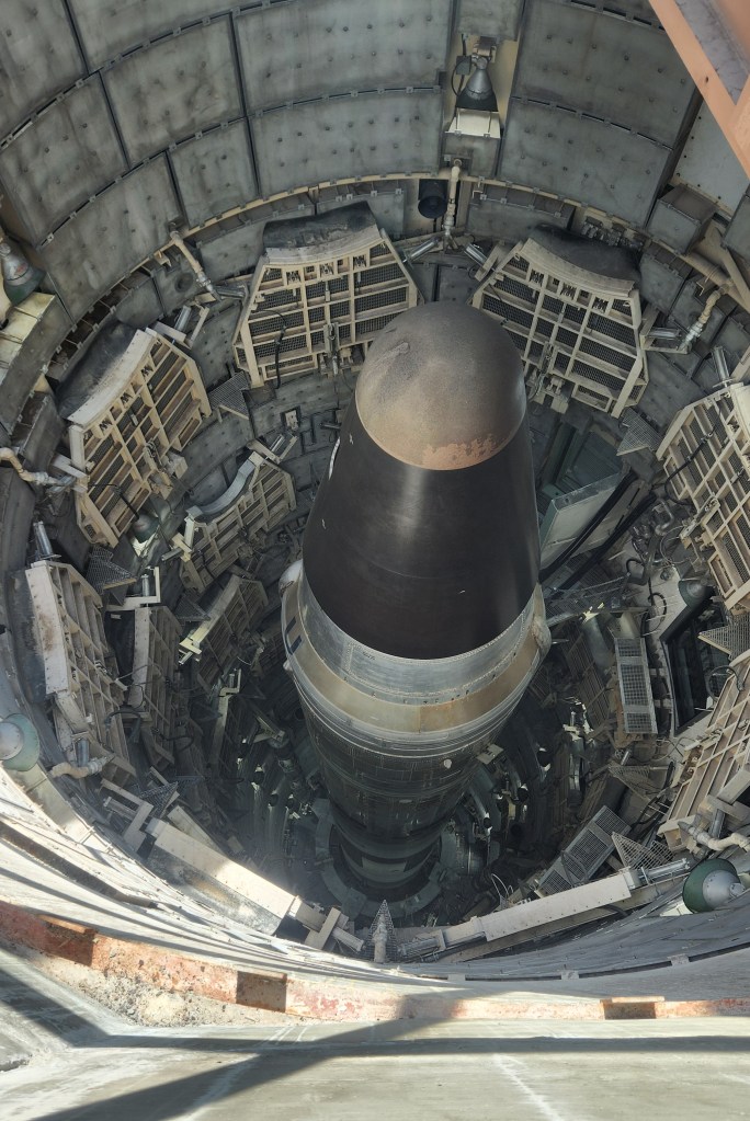
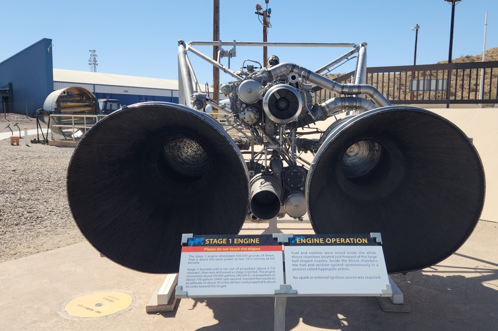
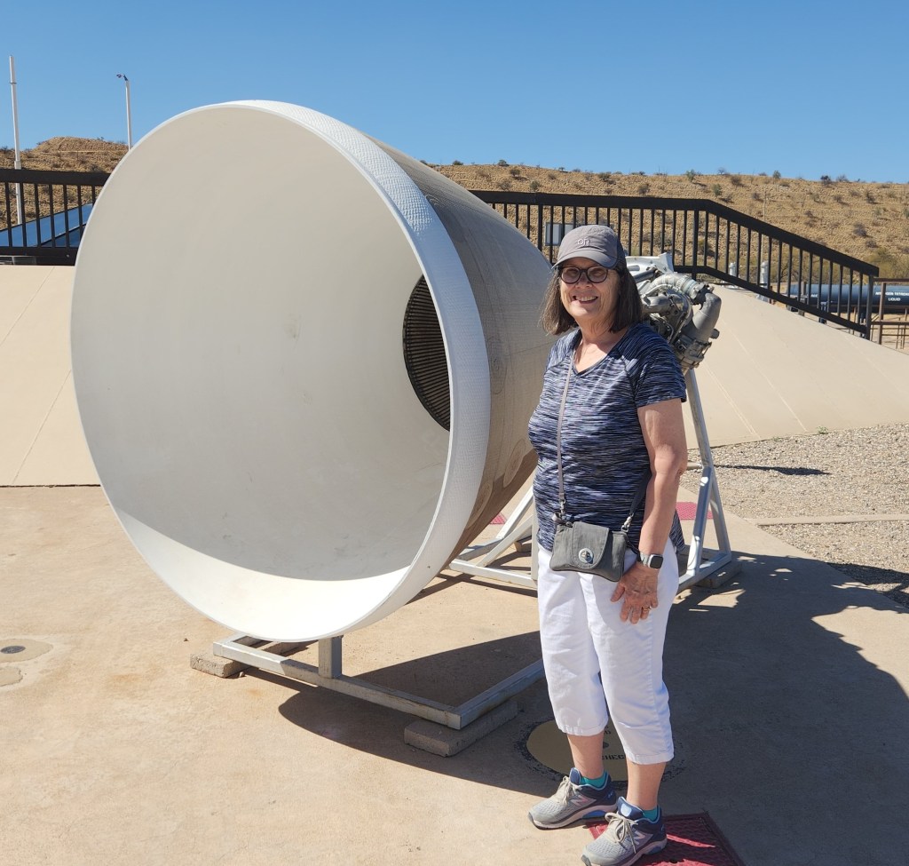
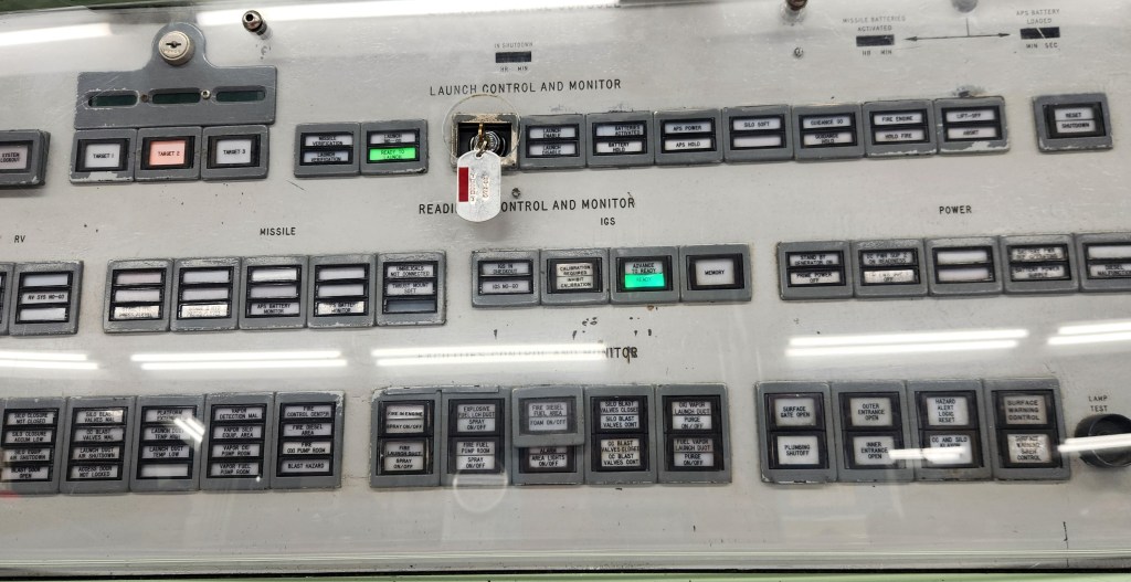
Titan Missile Museum: Located just off of I19 about halfway between Green Valley and Sahuarita, this place turned out to be an impressive surprise. It was established as a museum after the Titan II ICBMs (which stood in continuous, ready-to-launch condition from 1963 to 1987) were deactivated as part of the US missile modernization effort leading up to the SALT II treaty negotiations. The museum was chock full of interesting exhibits explaining the history of the Titan II missile program, and the missile in its silo and the adjacent underground launch control room have been maintained in a non-functional condition for educational purposes. We took an exceptionally informative tour of the underground facilities, including a simulated launch of the missile. I was lucky enough to sit at the command control station and act out the process of coordinating with a second volunteer at a nearby station to send the missile screaming toward its target, presumably somewhere in the USSR. “My God, we just destroyed the world,” I said to him safter the demonstration was over. I felt a sense of awe as I realized in a visceral sense how close the world was to the so-called mutually assured destruction (MAD) that loomed constantly during the cold war.
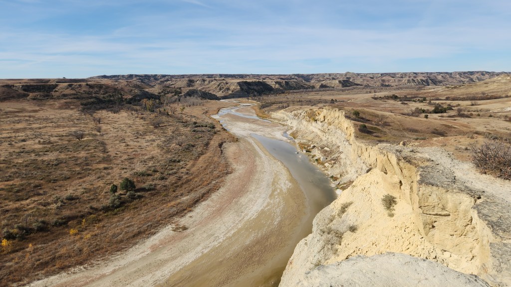
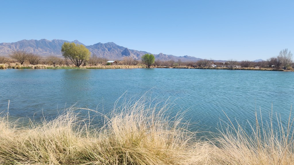
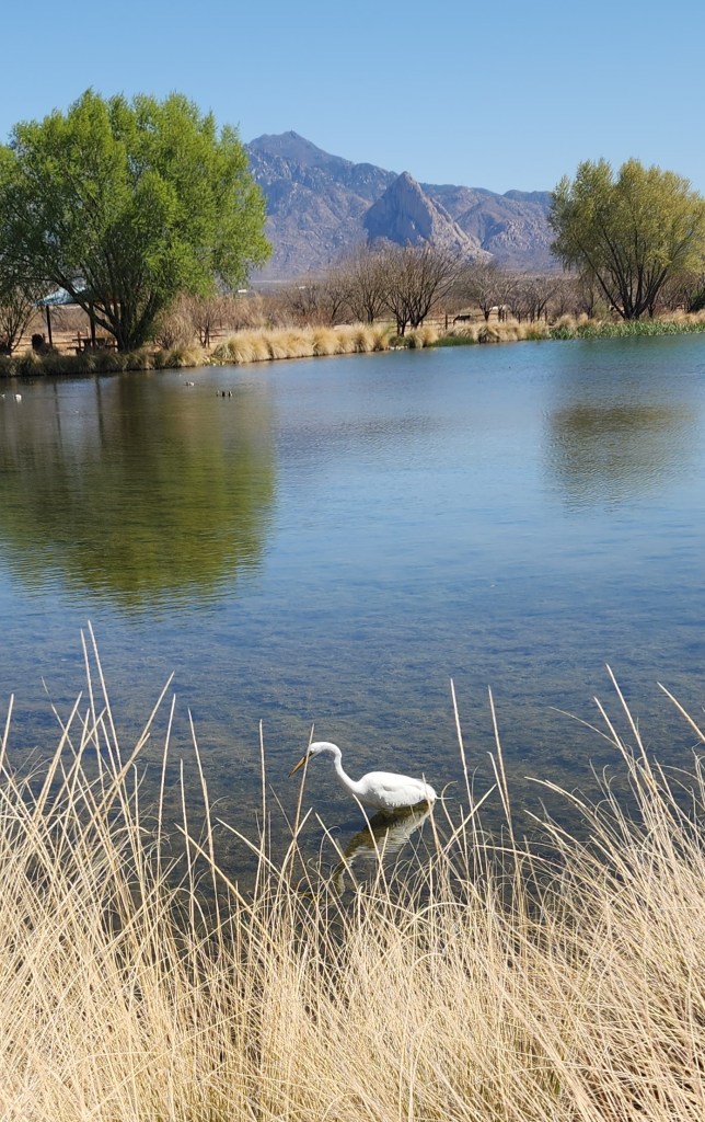
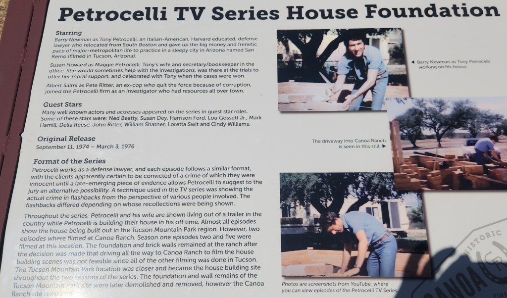
Historic Canoa Ranch: Located just to the east across I19 from our resort, this 4,800-acre site is owned and maintained by Pima County and is listed on the National Register of Historic Places. It is a portion of a site originally known as the San Ignacio de la Canoa Grant, given to Tomas and Ignacio Ortiz in 1821, shortly after Mexican independence from Spain. The Canoa Ranch functioned as a working cattle ranch from 1820 until 1970, and is still well-maintained and a popular site for public tours. The Juan Bautista de Anza National Historic Trail also runs through the site – in 1775 de Anza led an expedition of settlers and soldiers from the nearby Presidio of Tubac to San Francisco Bay and established the famous Presidio of San Francisco. The site also includes a lovely lake that supports a myriad of waterfowl and plants. One interesting factoid is that the site was used for filming several scenes in the 1970s TV series Petrocelli, the discovery of which prompted me to begin watching the old series. (So far, I’ve watched 13 episodes of Season 1 on YouTube – a nice respite from my other lawyer-show obsession, Perry Mason.)
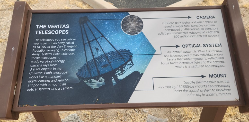
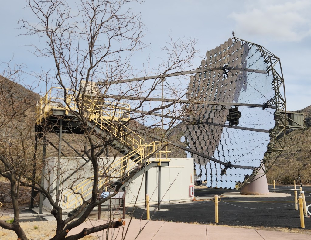
Fred Lawrence Whipple Observatory (FLWO): This facility, operated by the University of Arizona and the Smithsonian Institution, is located near and on top of Mount Hopkins in the Santa Rita Mountains. The observatory on top of the mountain, visible from our balcony at the resort, is the site of the 6.5-meter MMT telescope, while the facility near the base of the mountain is the site of the Very Energetic Radiation Imaging Telescope Array System (VERITAS) gamma-ray observatory.
Pat and I attended a lecture by the FLWO director, given at the Green Valley West Social Center, at which we learned many fascinating details about the observatory. For example, the original telescope was built in 1979 using six 1.8-meter mirrors, the largest that could be made at that time, to create an effective telescope diameter of 4.5 meters. This unique construction was the source of the telescope’s name – the Multiple Mirror Telescope or MMT. Innovative mirror construction technology developed at the University of Arizona allowed the six mirrors to be replaced by a single, 6.5-m mirror in 1998, and a novel deformable secondary mirror was added in 2002, providing the ability to make corrections for atmospheric interference. The combination of the large mirror, the high altitude, the dark skies in the area, and the adaptable mirror make the MMT one of the premier ground-based telescopes in the entire world, providing image quality comparable to space-based telescopes such as the James Webb.
Enthused by the lecture, we signed up for a tour of the VERITAS observatory. Tours of the MMT on top of the mountain are currently unavailable due to the logistics of transporting visitors along the narrow mountain road, but the VERITAS tour seemed like the next best thing. Unfortunately, our tickets were for a day when Pat was suffering from the above-mentioned malaise, so I went on my own. The tour was fascinating and absolutely perfect, except for one small detail – I found the other tourists to be very annoying, what with talking while the guide was explaining things and then asking questions which he had already answered in detail. I suppose that’s why people call me a curmudgeon.
Anyway, how about some pictures?

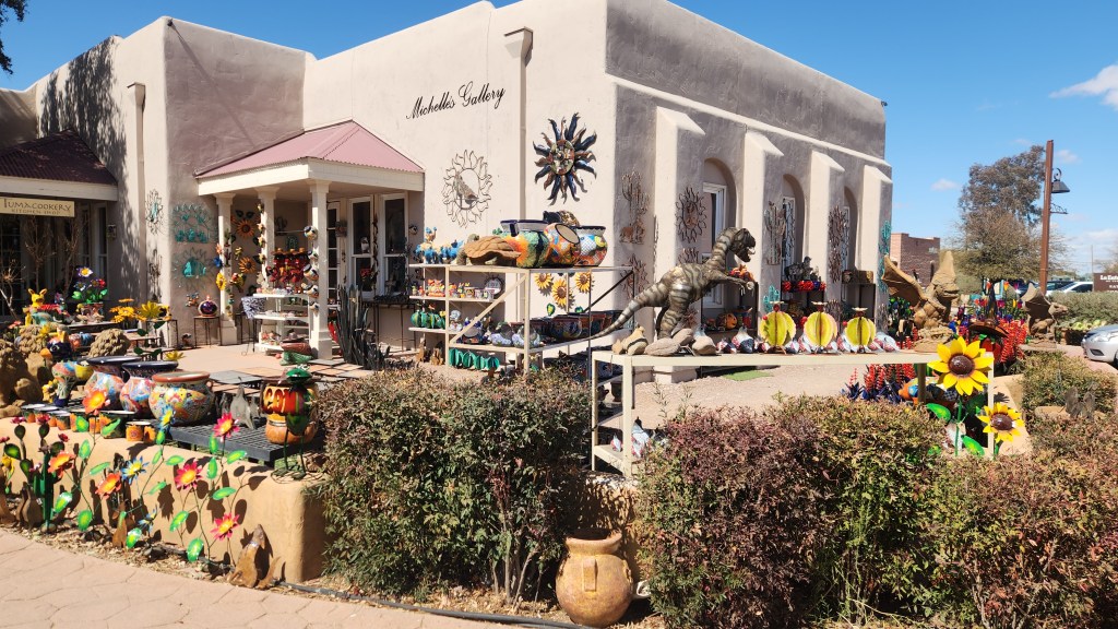
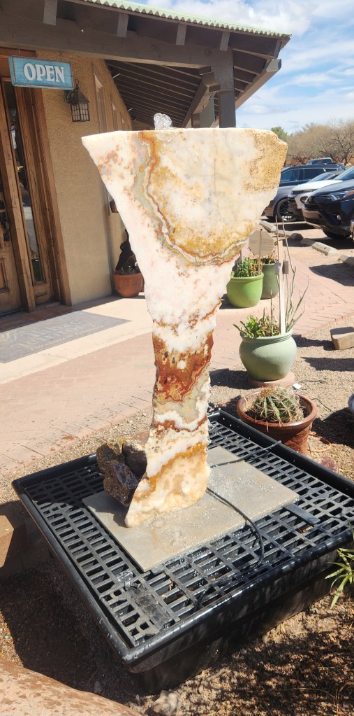
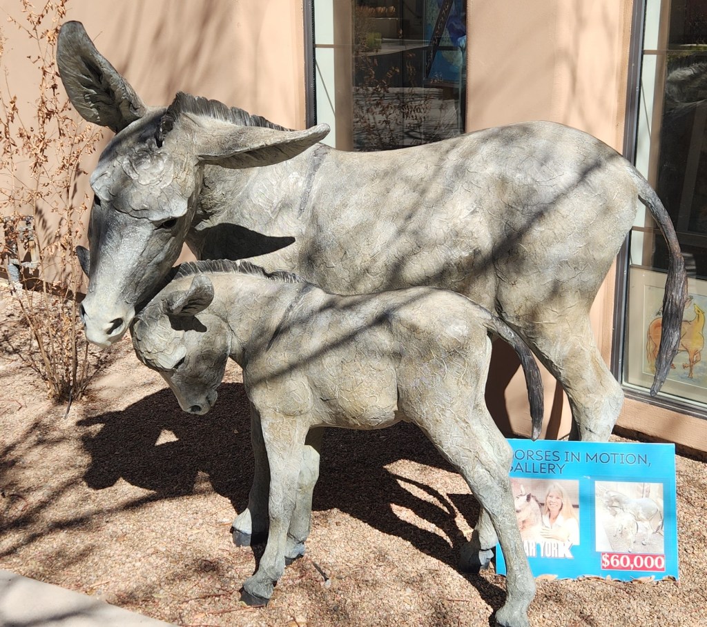
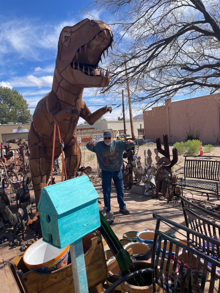
Tubac: This town, about 15 miles down I19 from the resort, is a popular tourist destination with lots of restaurants, galleries, and shops. We ate at a well-known Mexican place called Elvira’s, which lived up to its reputation, before strolling through the town and to the Tubac Presidio Historic Park, the home of the first fort (established in 1752), the first European settlement, the first American mining community, and the first printing of a newspaper in Arizona. Returning north on I19, we passed through a border checkpoint staffed by dozens of border agents and boasting about thirty or forty fancy looking Government vehicles. Agents stationed on each side of the three traffic lanes prominently displayed their holstered weapons while casting surly looks into the vehicles crawling along the freeway. Ferocious looking dogs were also in evidence, but we didn’t see anyone actually being stopped. Pat and I were flabbergasted by the scale of the thing, just about thirty miles north of the border crossing at Nogales. Did they think they were preventing people from sneaking past the Mexican border and then hitchhiking rides on the freeway? It struck us as a massive waste of resources, all for show.
OK, I’ll stop grousing now and offer more pictures.

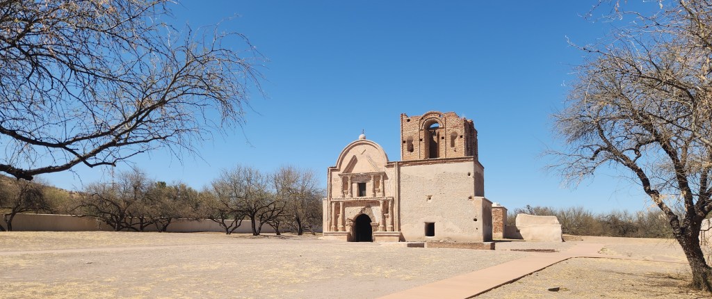
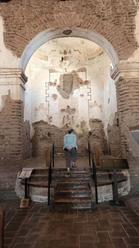
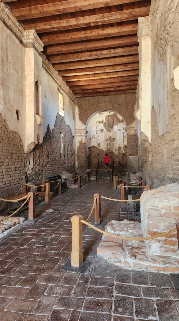
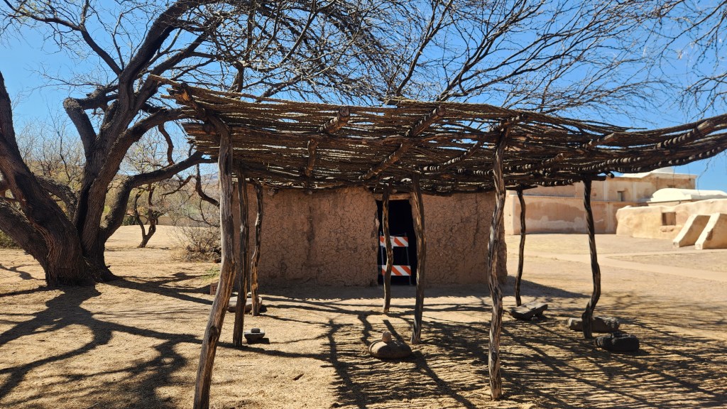
Tumacácori National Historic Park: This place, located about four miles south of Tubac on I19, is at a cultural crossroads in the Santa Cruz River valley, where O’odham, Yaqui, and Apache people met and mingled with European Jesuit and Franciscan missionaries, settlers, and soldiers, sometimes in conflict and sometimes in cooperation. We watched an excellent video describing the history, and one of the most poignant moments was when an O’odham speaker said something like “Of course we welcomed the Europeans when they came, but eventually visitors can overstay their welcome.”
A Jesuit mission was established on the site in 1691 by Father Eusibio Kino, who worked tirelessly to gain the trust of the native peoples, many of whom adapted his Christian teachings to their own religious beliefs to create a sort of hybrid religion that is still practiced today. A Franciscan mission was built on the site in the late 18th century after the Jesuits fell out of favor with the Spanish, and its ruins are what sit on the site today.
The ruins and the museum on site contain many excellent artifacts and interesting information about the various native and European cultures. I was especially impressed by the beautiful basketry work by the O’odham people.
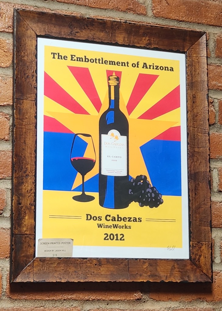
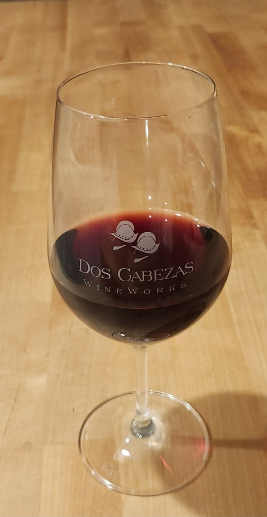
Dos Cabezas Wineworks: This place is located in Sonoita and can be reached by means of lovely drives in either of two manners: 1) heading south on I19 toward Nogales, then northeast on Highway 82 to Sonoita, or 2) heading north on I19 to Sahuarita, then east to Highway 83 and south to Sonoita. In order to maximize the scenic experience, we made the trip into a loop, going there on the southerly route and returning on the northerly one.
The wine works is also known as Pronghorn Pizza, as they serve a menu of delicious pizzas as well as Arizona wines from the Dos Cabezas wineries, a defunct one near Sonoita and an active one in Willcox, AZ. To go with the pizza, I opted for the wine tasting menu, which included a souvenir glass and five selections of the local wines, while Pat stuck with water, still feeling the effects of her illness. We enjoyed the experience so much that we bought two bottles of wine, which we eventually shared with our condo neighbors on their balcony at the resort.
Mariscos Chihuahua Restaurant: I have to include a mention of this place because I’ve been enamored with it ever since we first discovered it on an RV trip back in 2018. We visited again several times while staying at a Tucson RV park in 2020, and naturally I had to go back again on this trip when we visited some places in Tucson. Faithful readers will guess what I ordered: Camarones Rellenos – shrimp stuffed with cheese and wrapped in bacon. I talked it up so much with our condo neighbors that they also tried it and gave their thumbs up as well.
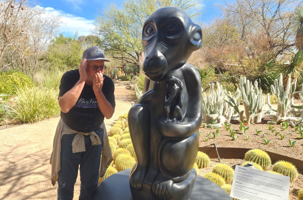
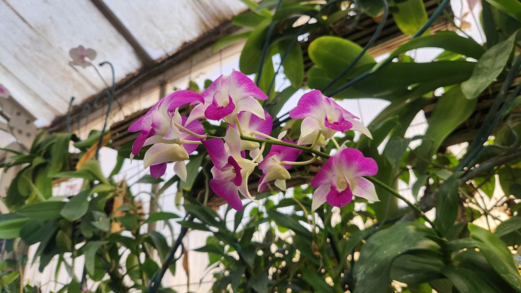
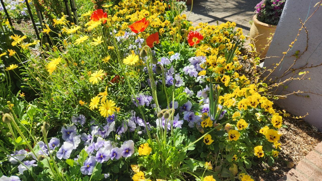
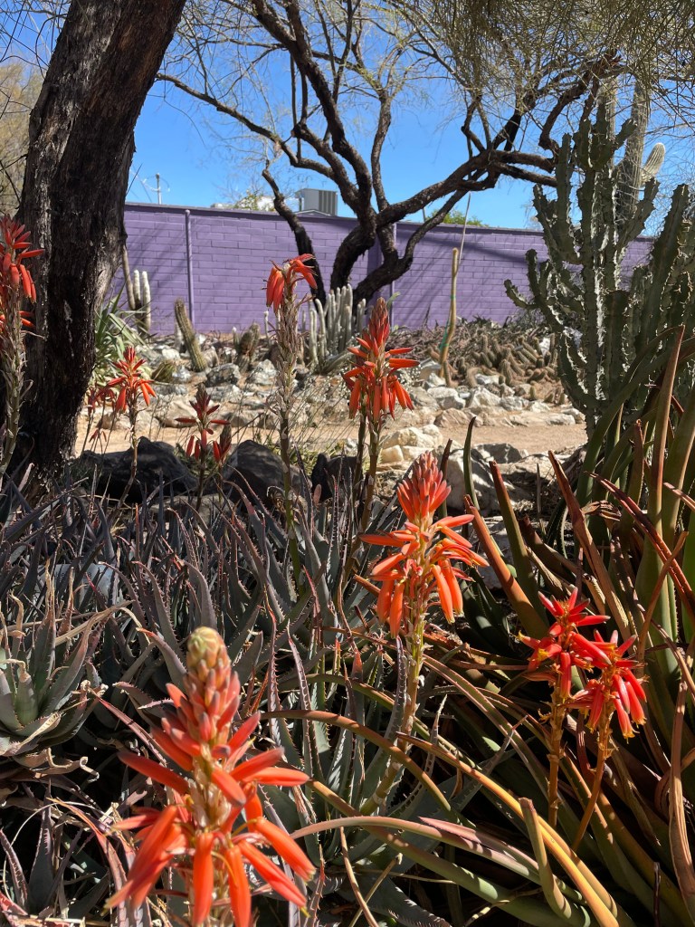
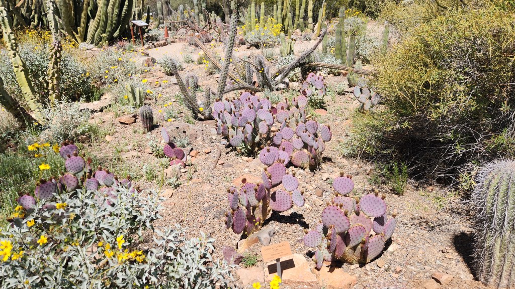
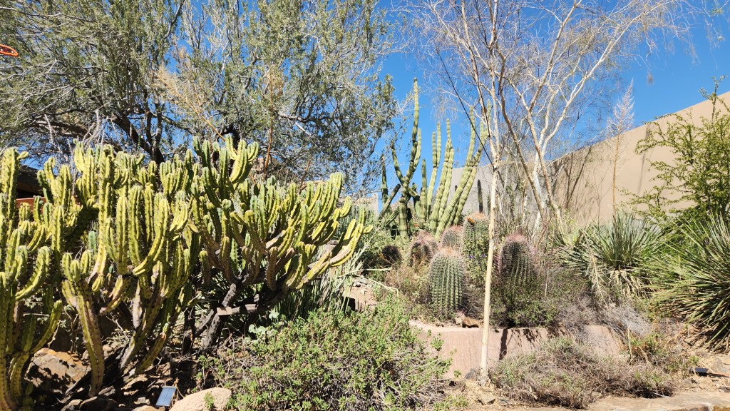
Tucson Botanical Gardens: While in Tucson, we also visited the Botanical Gardens, which offer a marvelous display of desert flora native to Arizona and other places with similar climates, such as various South American countries. Since I’ve been blathering on for quite a bit, I’ll refrain from further commentary and just go with pictures.
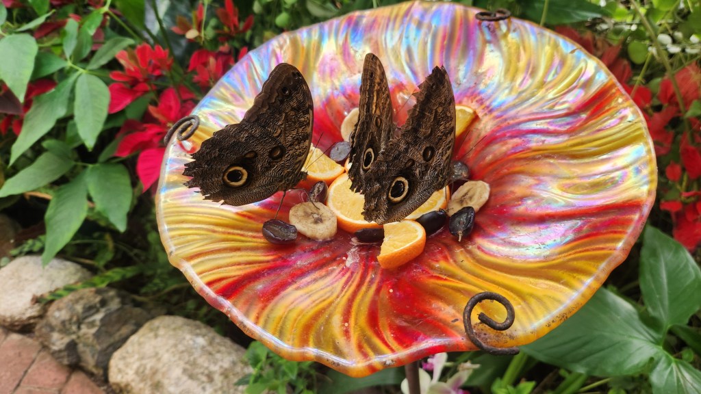
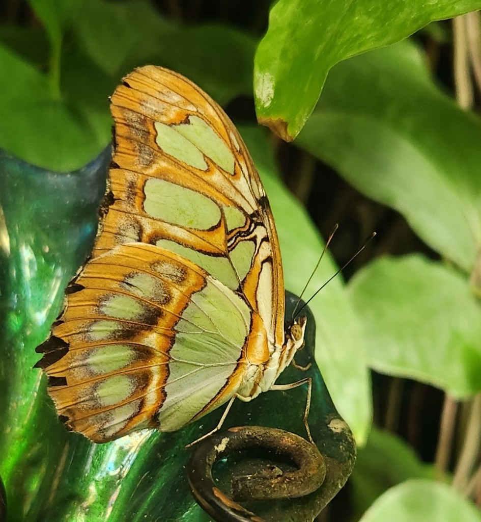
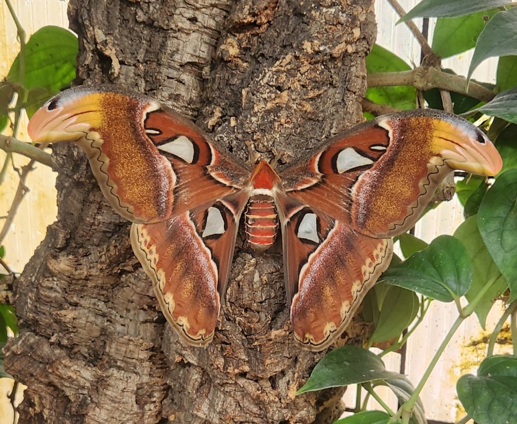
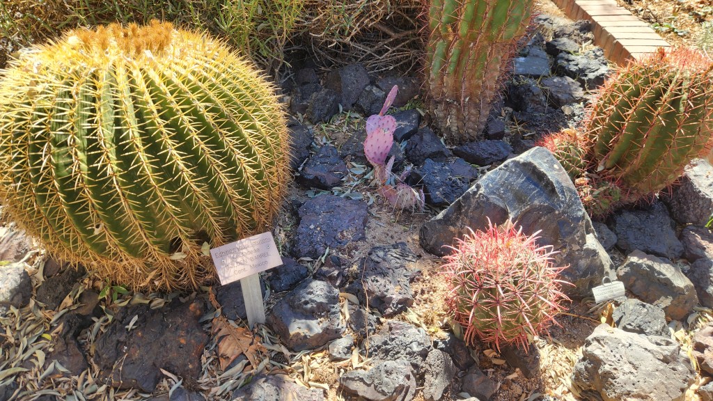
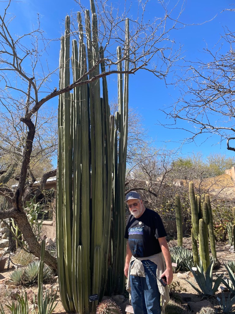
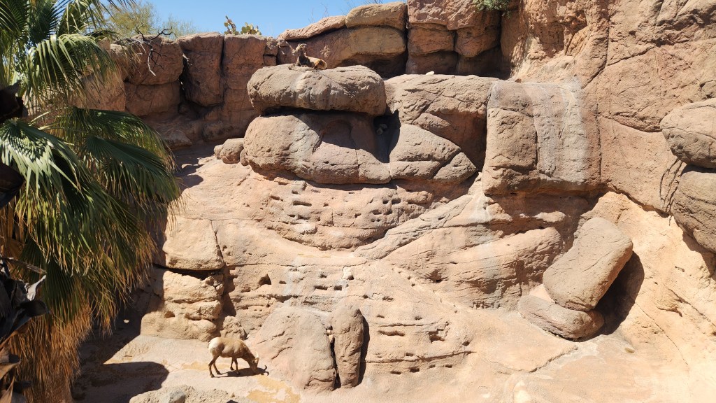
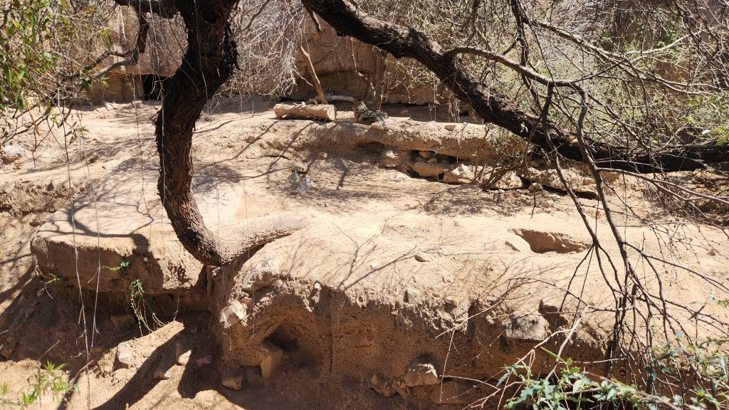
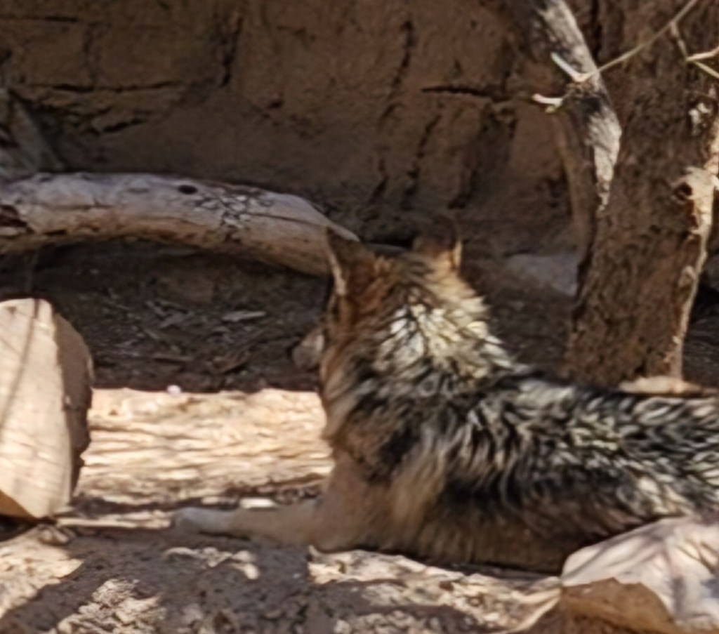
Arizona-Sonora Desert Museum: This is the last place I want to talk about, located adjacent to Saguaro National Park West. According to the museum map, the 21-acre museum includes two miles of walking paths through various habitats, 230 animal species, 1200 types of plants and 56,000 individual specimens, comprehensive regional mineral collections, and world-class art exhibitions. We spent several hours strolling along the winding paths through the exhibits, which include:
- Warden aquarium
- Reptile, invertebrate, and amphibian hall
- Earth sciences center and cave
- Ancient Arizona and Sonorosaurus
- Mountain Woodland
- Desert Grassland
- Desert Loop Trail
- Cat Canyon
- Riparian Corridor
- Birds of the Sonoran desert
- Life underground
- Hummingbird aviary
We visited a majority, but not all, of the exhibits and were delighted by the variety of flora and fauna we were able to see, including real live (animatronic) dinosaurs! Not only that, but we had a great lunch, including the most amazing hot dog I’ve ever eaten.

Okay, that’s it for Part 2. Stay tuned for Part 3, in which I’ll describe the interesting places we visited during our road trip back to Minneapolis.