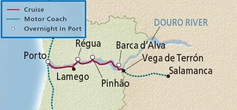
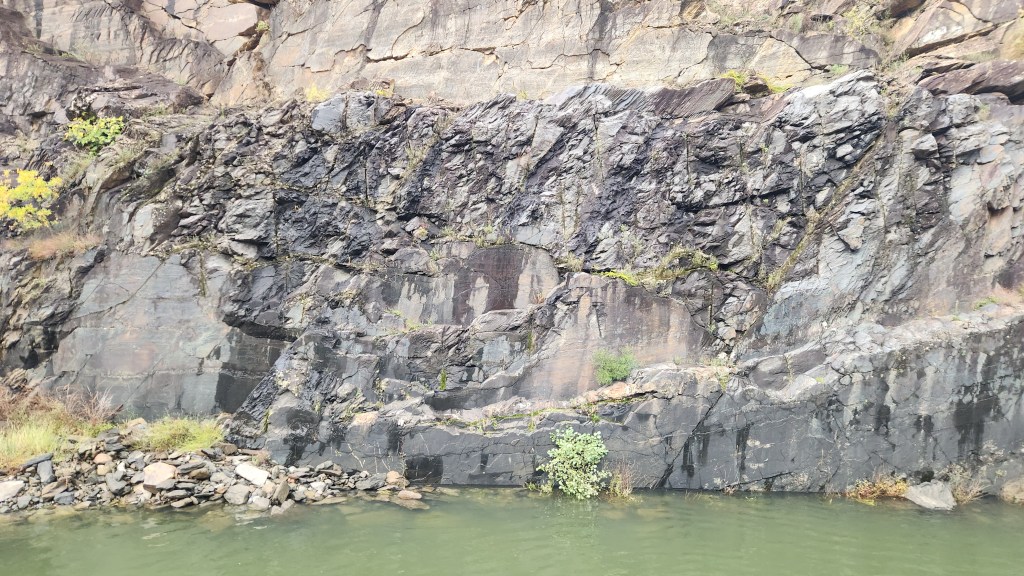
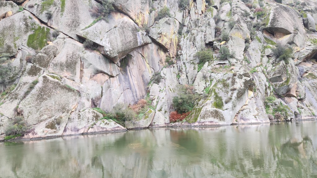
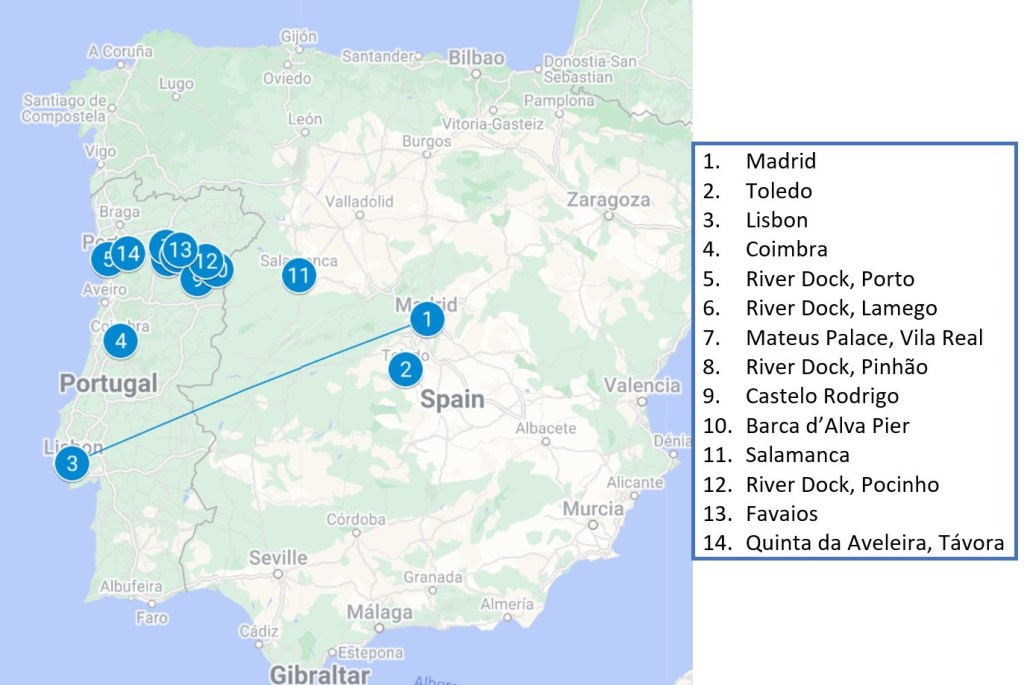
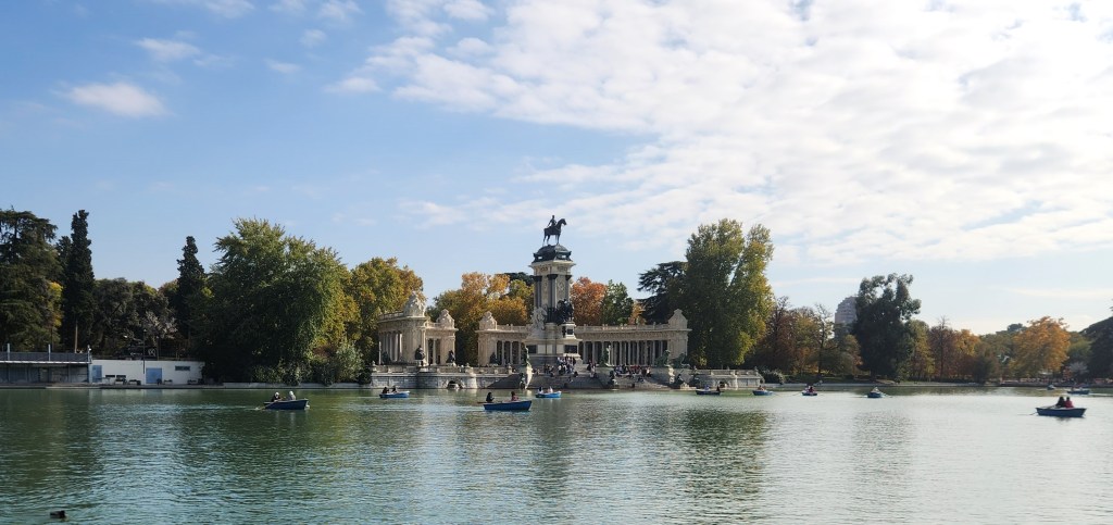
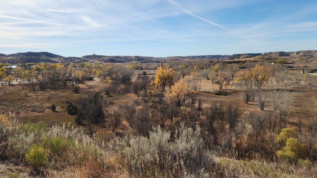
Welcome back for the final episode of this narrative of our recent trip to the Iberian Peninsula. Part 3 described three of the shore excursions we took during the river cruise, leaving off in Pocinho on November 15th. This episode describes the last four shore excursions and our trip back home.
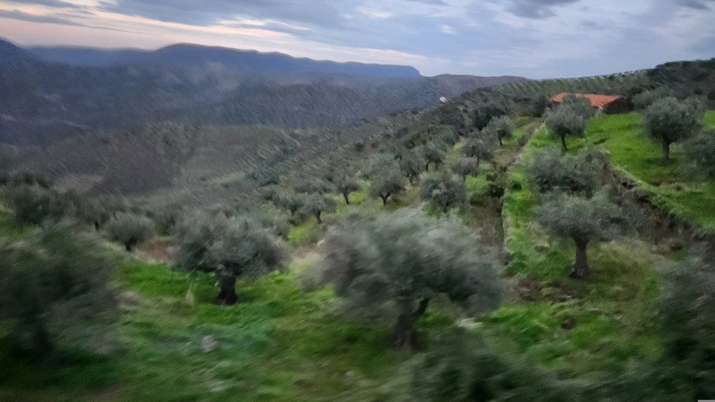
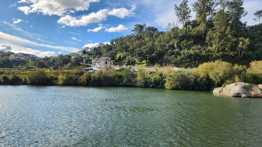
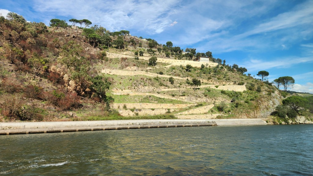
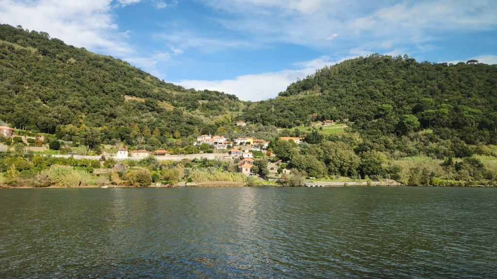
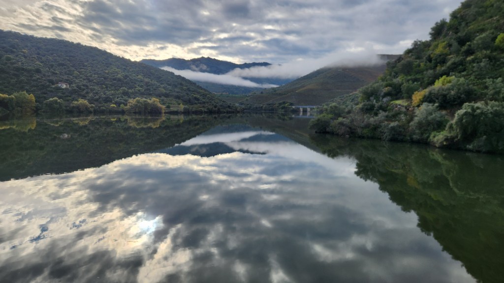
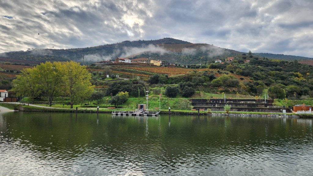
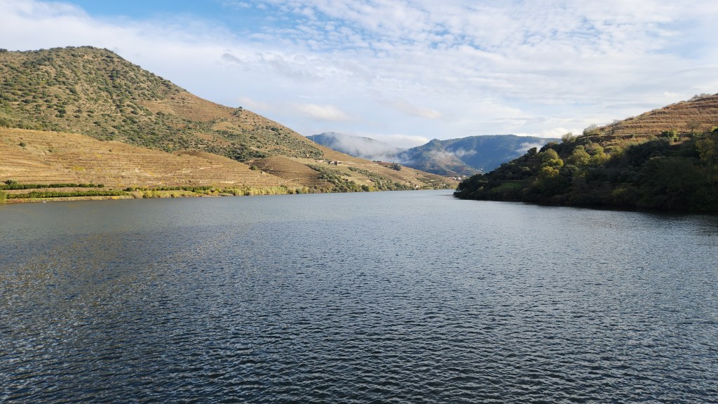
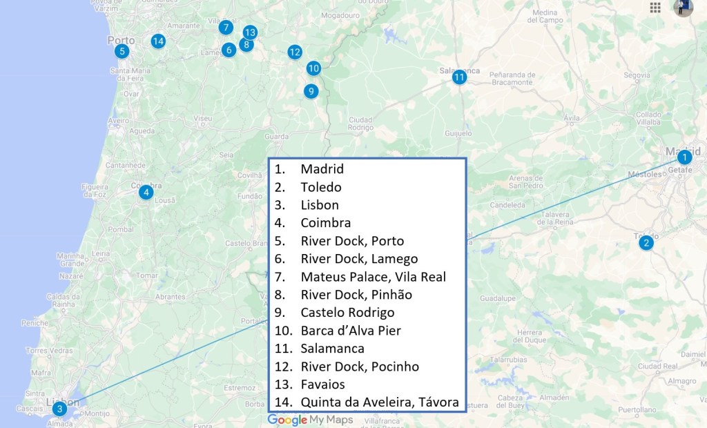
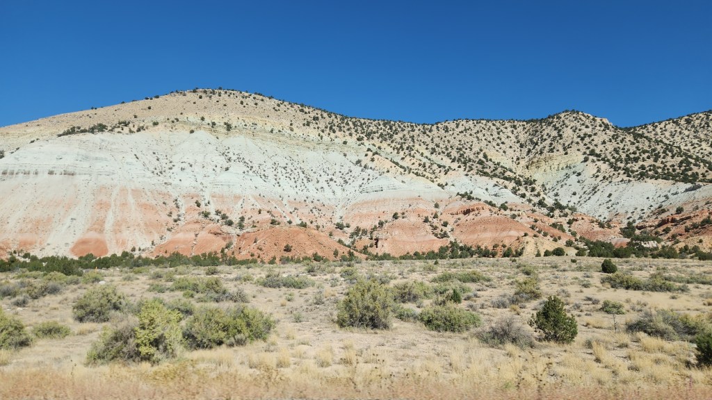
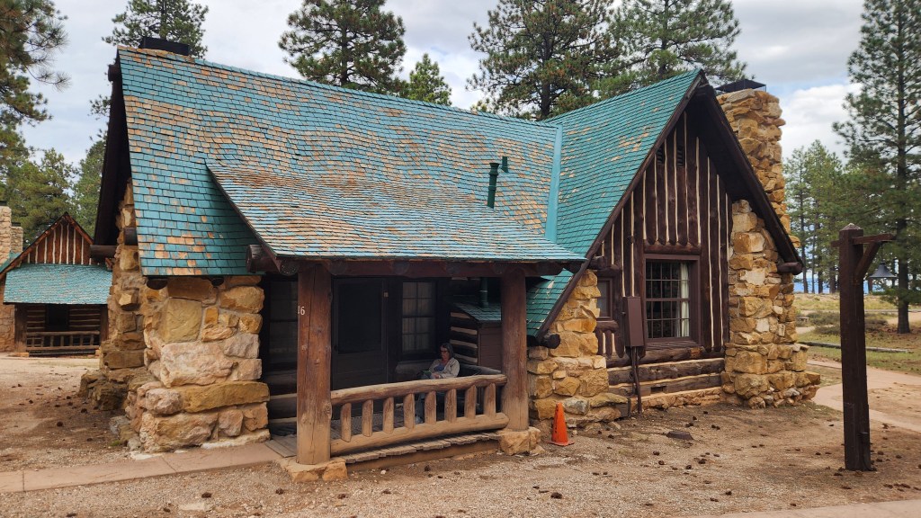
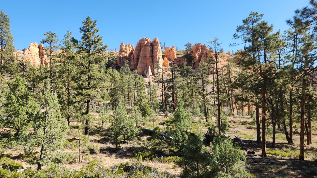
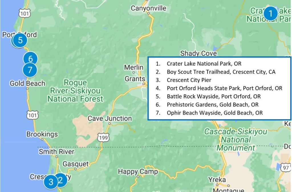
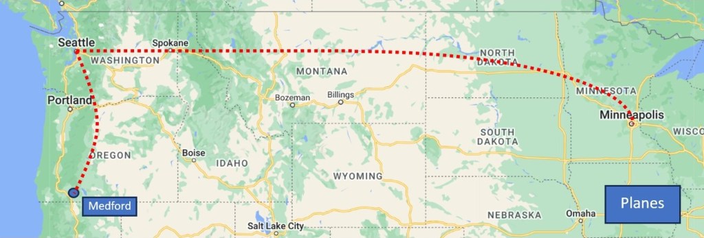
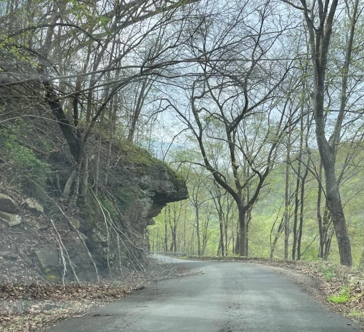
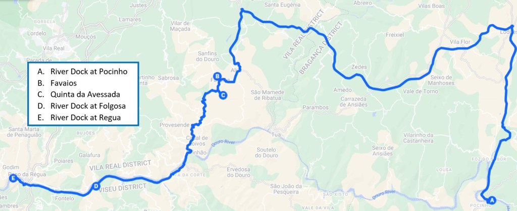
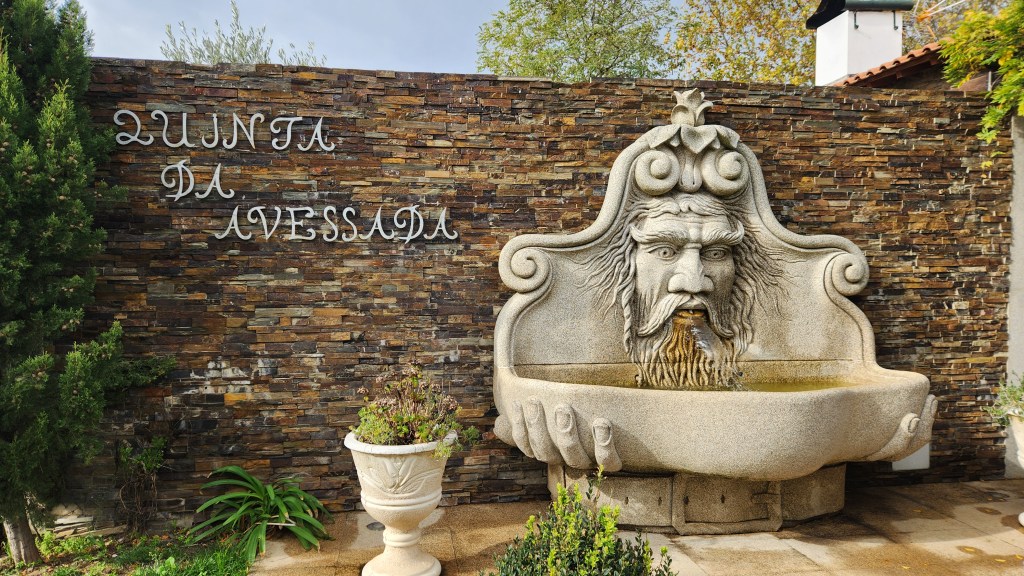
Favaios and Quinta da Avesado (November 16): On Saturday the 16th, we disembarked from the Helgrim at 8:30 AM for a 50-mile bus drive through the beautiful Douro valley to the town of Favaios. In Favaios, we visited a wine producing cooperative, a bakery, and a museum, before traveling to the Quinta da Avessada, an impressive vineyard where we were served an excellent lunch. After lunch, we returned to the ship, which had sailed downstream from Pocinho to Folgosa while we were on the shore excursion. After reboarding, the ship sailed on to Peso da Regua where we docked for the night. Here’s a map of the day’s travels:
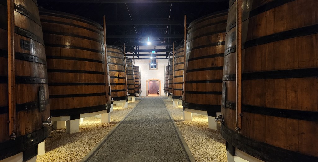
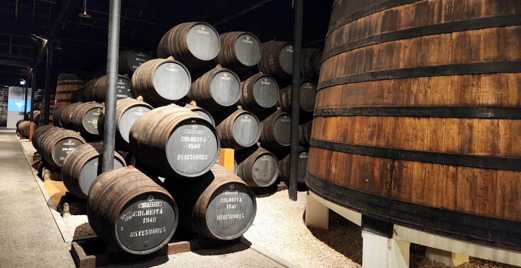
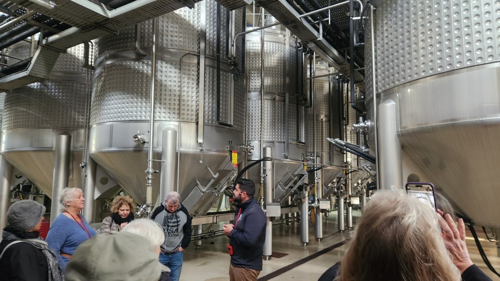
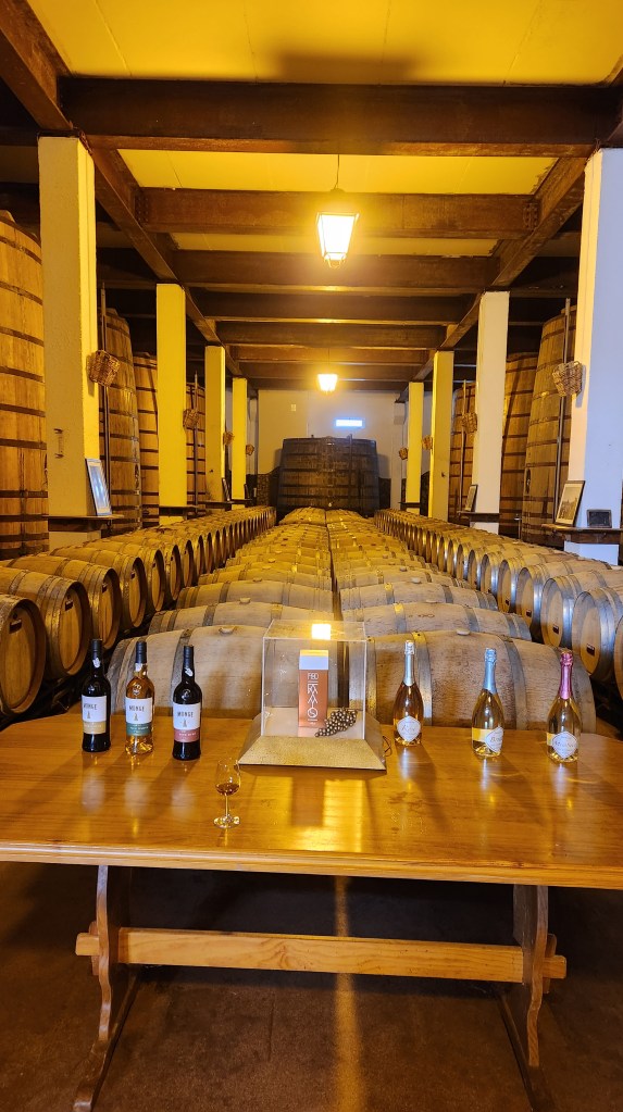
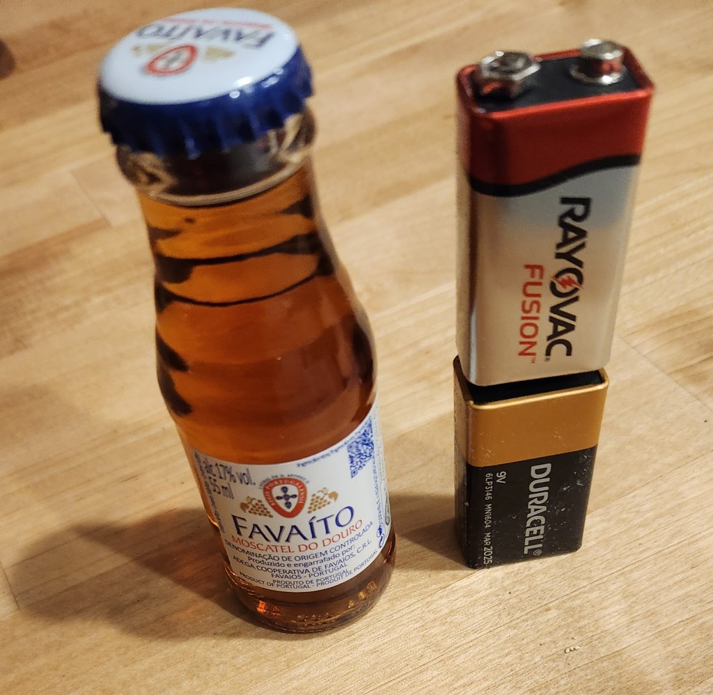
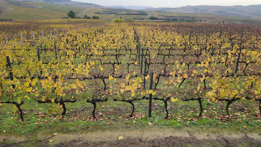
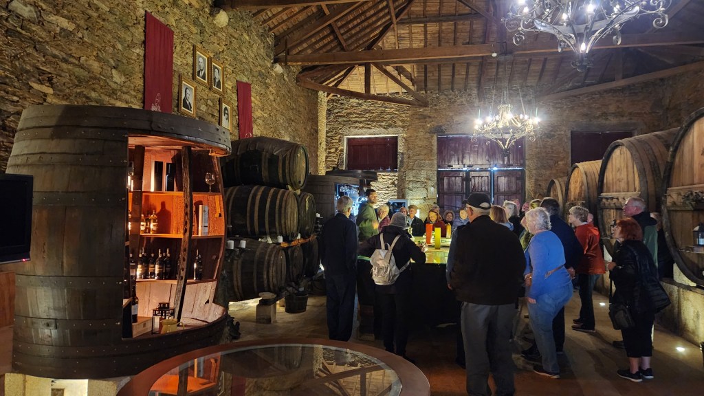
Favaios is the home of the Adega Cooperativa de Favaios, which was our first stop on the excursion. Adega is a cooperative that produces a popular fortified wine known as Moscatel, produced from the Muscat grapes that thrive in the plateau more than 1,000 feet above the Douro River (Favaios lies at an altitude of 1,800 feet). The cooperative includes some 100 member vineyards that supply the grapes during a short harvest season, typically from late September to mid-October. The cooperative has developed an ultramodern, computer-controlled processing facility that produces well over a million bottles of Moscatel each year, although the majority are the very popular 55 ml “shot” sized bottles that the Portuguese love to mix with beer. The cooperative has an aggressive expansion planned to add another hundred member vineyards and double the processing capacity to account for the ever-shorter harvest season due to the undeniable impact of climate change. The process is similar to that for Port wine, which I described in Part 2 of this series – the highly-sugared grapes are fermented in large stainless-steel vats before fortification with aguardente and then aged in wooden barrels for several years. Our tour of the facility concluded with a tasting of several glasses of Moscatel; we were sufficiently impressed to buy a couple of the little “Favaita” bottles to take home.
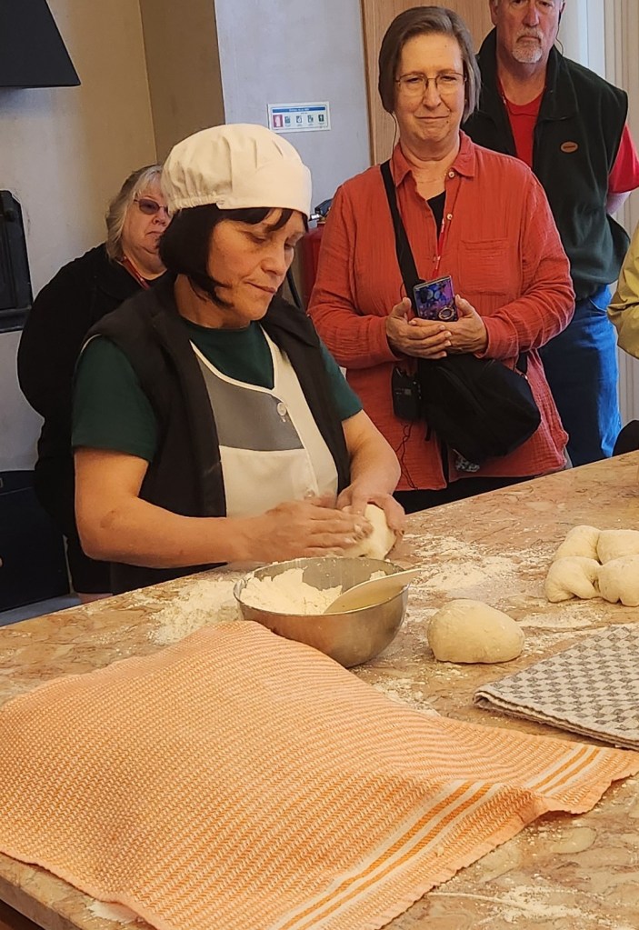
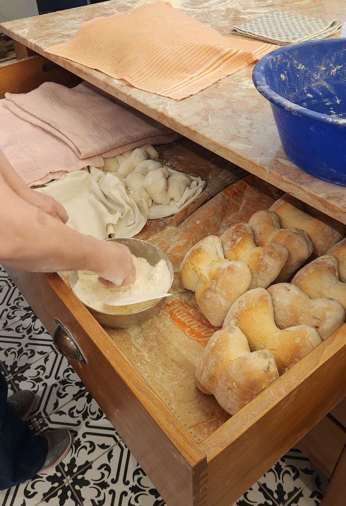
After the wine cooperative, we strolled down the street with a local guide to a bakery where bread is baked fresh daily. Eight bakeries in Favaios create 8000 loaves of the famous Four Corner Bread daily, by hand, using only four ingredients, and bake them in ovens fueled by pine branches. The loaves are distributed by the bakeries to bread shops throughout the region, and they sell out the entire lot every day. We watched as a skilled baker demonstrated the time-honored technique for kneading the dough into a time-honored shape. After witnessing the demonstration, I was delighted to sample the freshly baked bread and satisfy my watering mouth.
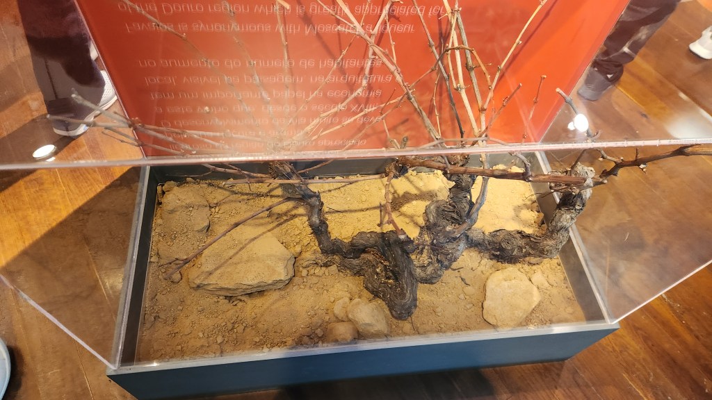
The final stop in Favaios was at the nearby Core Museológico Favaios, the Bread and Wine Museum. Among the exhibits there was a display of the thick grape root stock from America, to which the native wine plants were grafted in the 1800s to combat the deadly infestation of the phylloxera worm that nearly killed the wine industry.
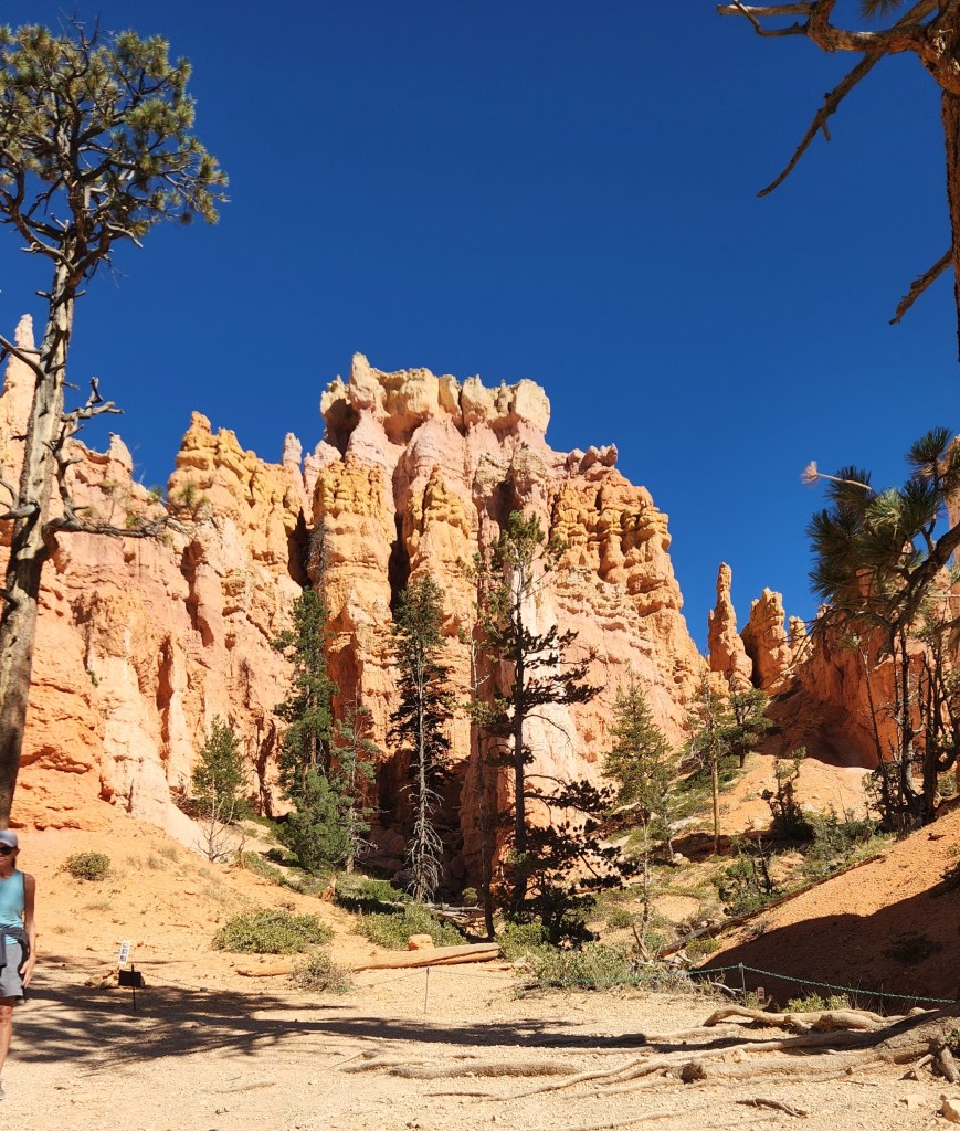
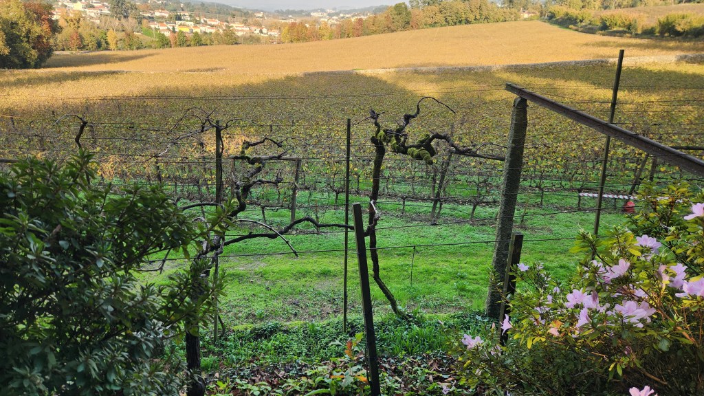
We then rode the tour bus for about 18 miles south to a beautiful vineyard called Quinta da Avessado. This winery is located at the highest point in the demarcated Douro region (1970 feet altitude) on a large, flat plain. Over 90% of the grapes grown on its 60-plus acres of vineyards are supplied to the Adega Cooperative for production of Moscatel. The vineyard and its facilities (including a 100-year-old building) were very beautiful, and we were treated to an excellent lunch, naturally including some of the wines produced from the grapes grown there. As a bonus, we were serenaded by an accordion player as we ate (luckily he had a better technique than my father).
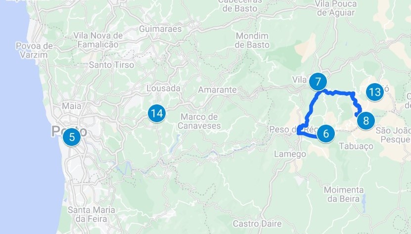
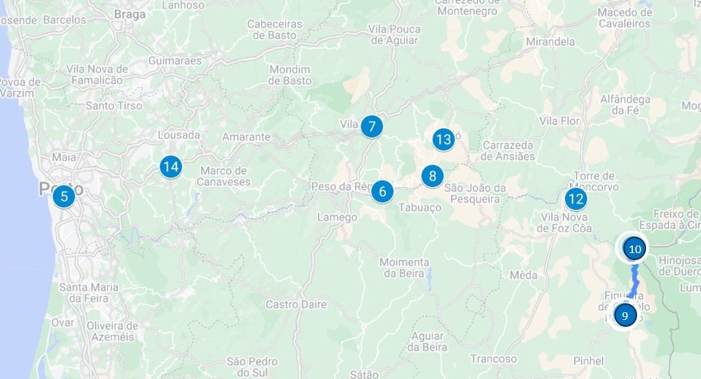
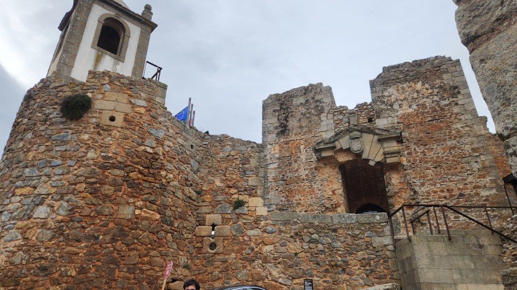
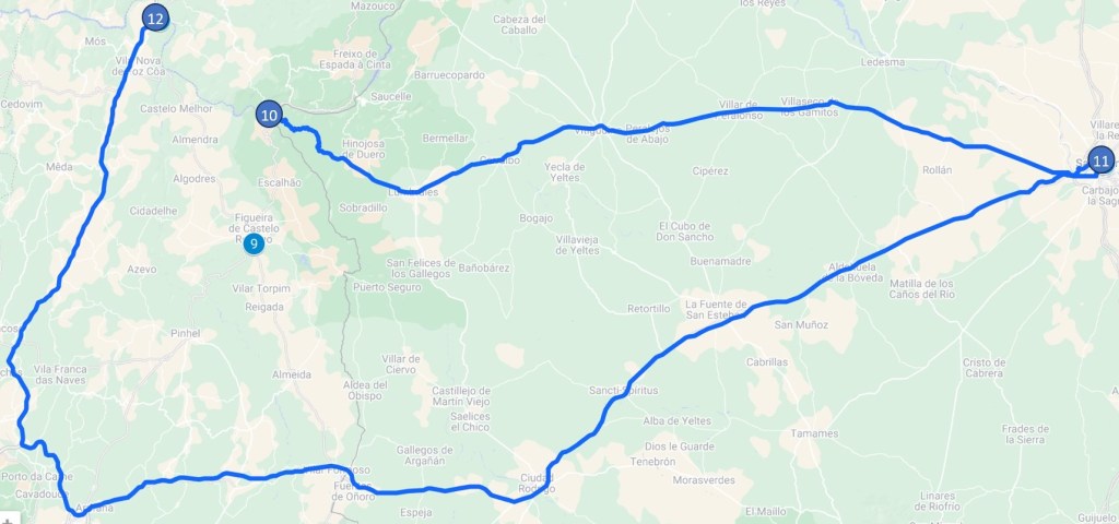
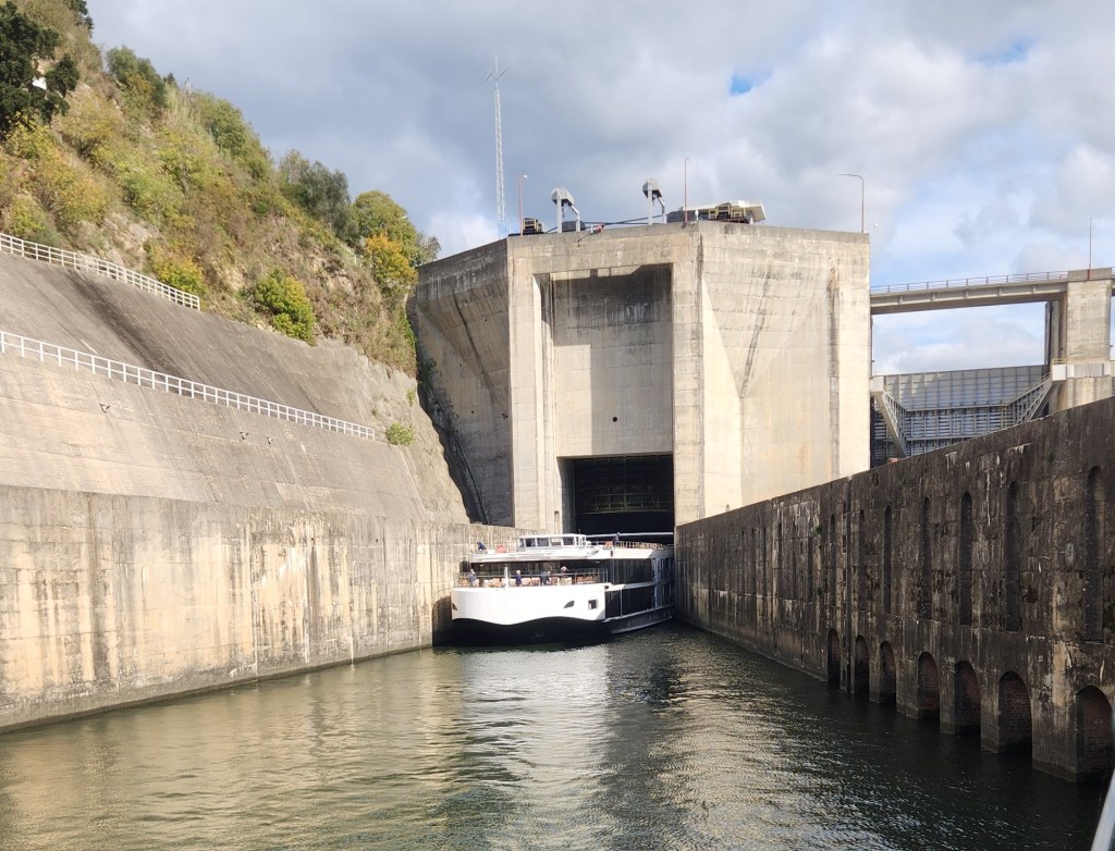
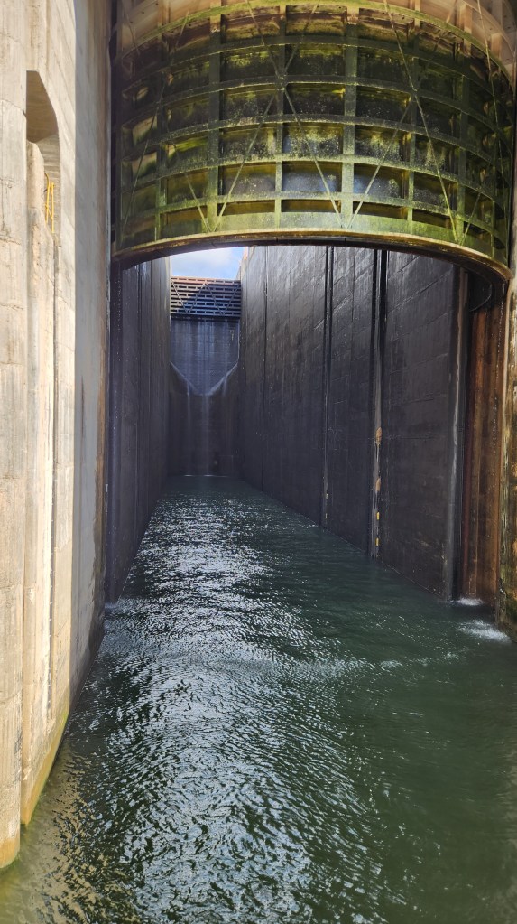
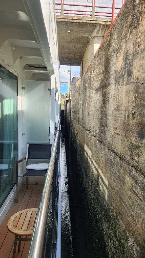
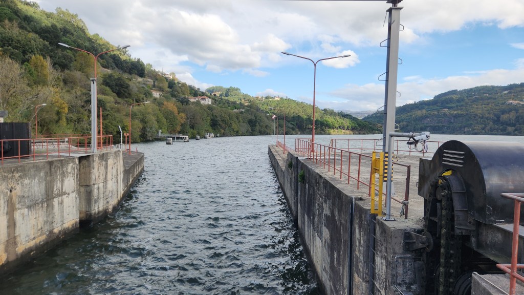
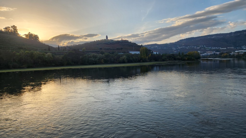
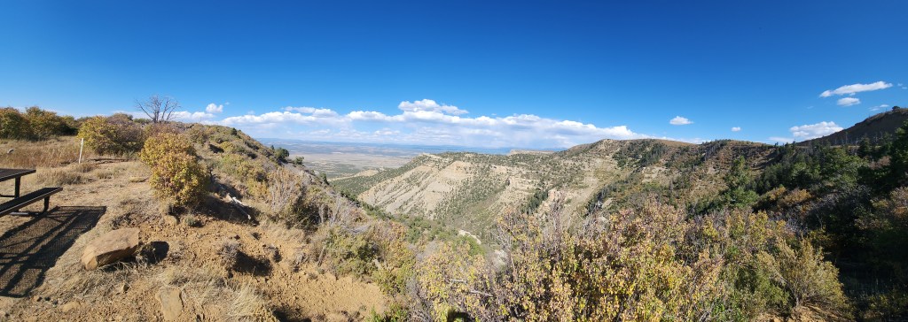
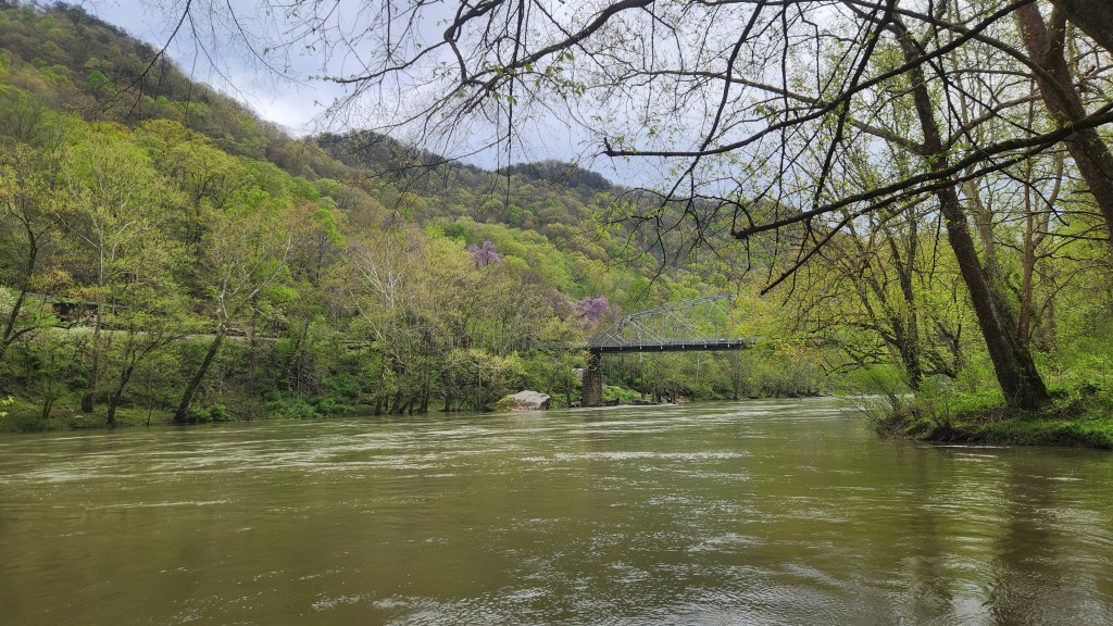
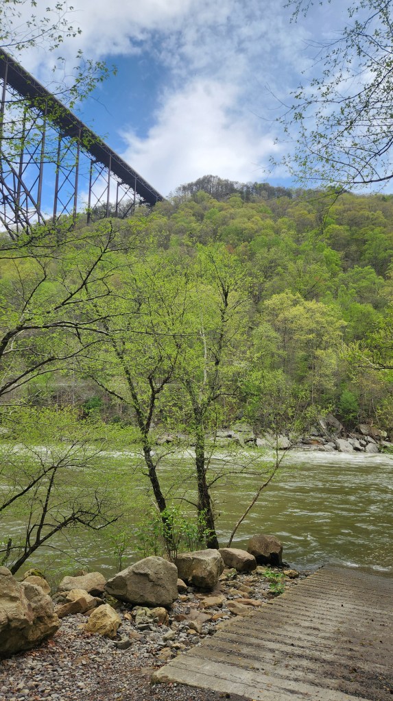
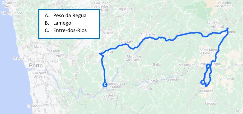
Lamego (November 17): After a night at the Regua pier, we set off at 8:30 AM for a tour of the town of Lamego. While we were enjoying the excursion, the Helgrim set sail again, moving downstream to Entre-os-Rios, where it waited for the excursion participants to return at 12:45. Here’s a map of our shore excursion journey:
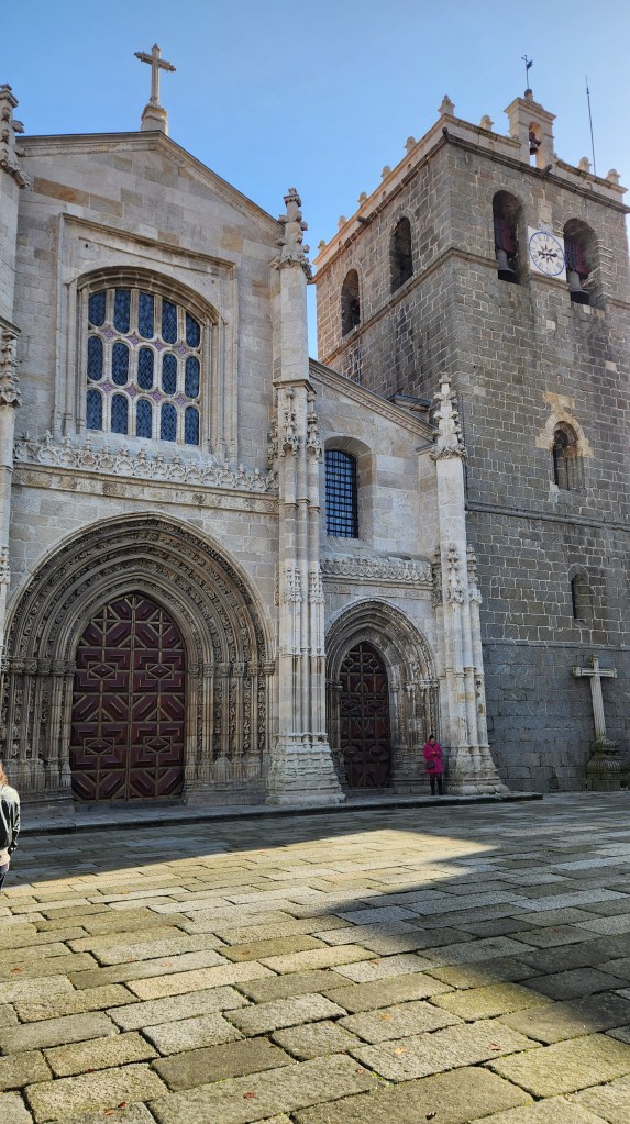
Lamego was first settled before the Roman occupation of the Iberian Peninsula and is known for its historic city center. Legend holds that the first Portuguese Cortes (an assembly of nobility, clergy, and bourgeoise) was held in Lamego in 1143, proclaiming Alfonso Henriques as Portugal’s first King. Subsequent Cortes were called and dismissed by the King at will at places of his choosing.
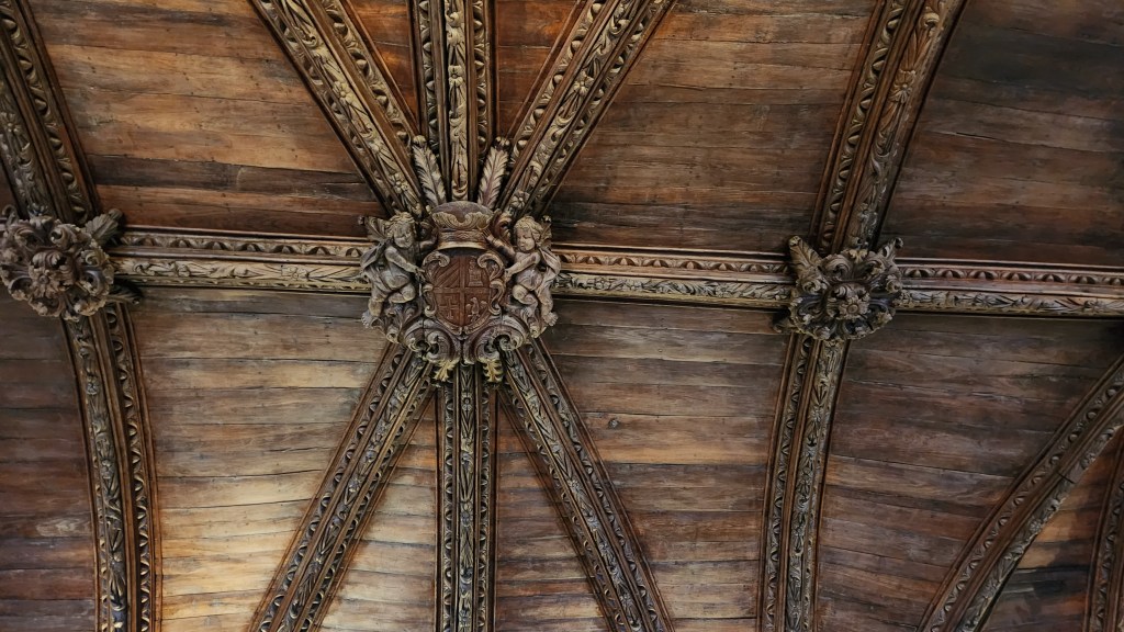
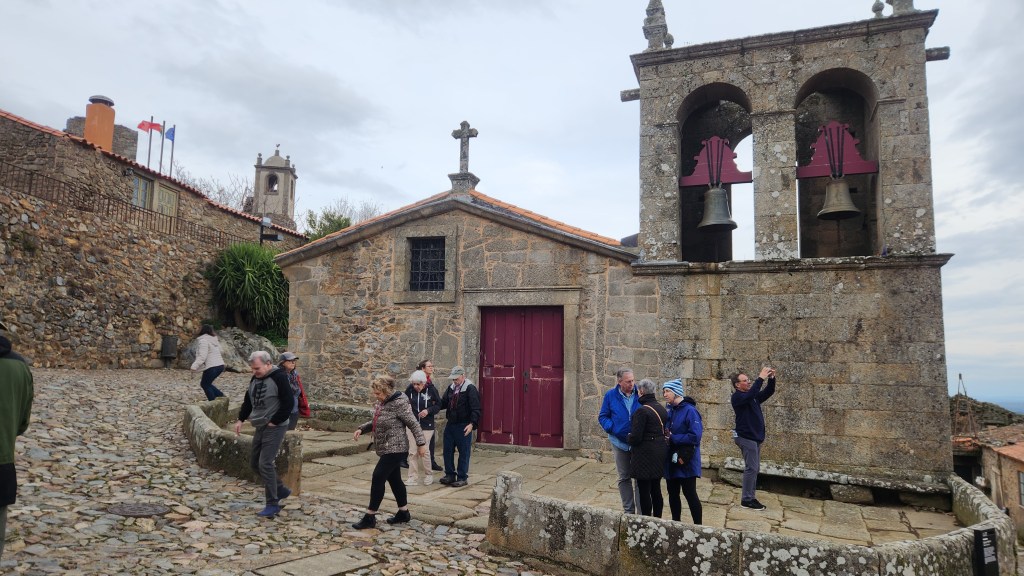
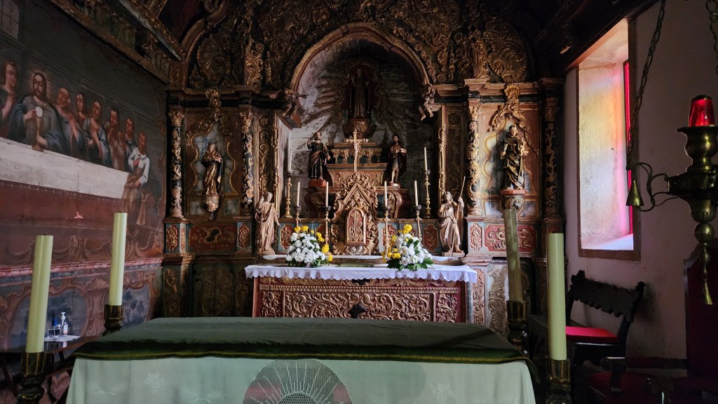
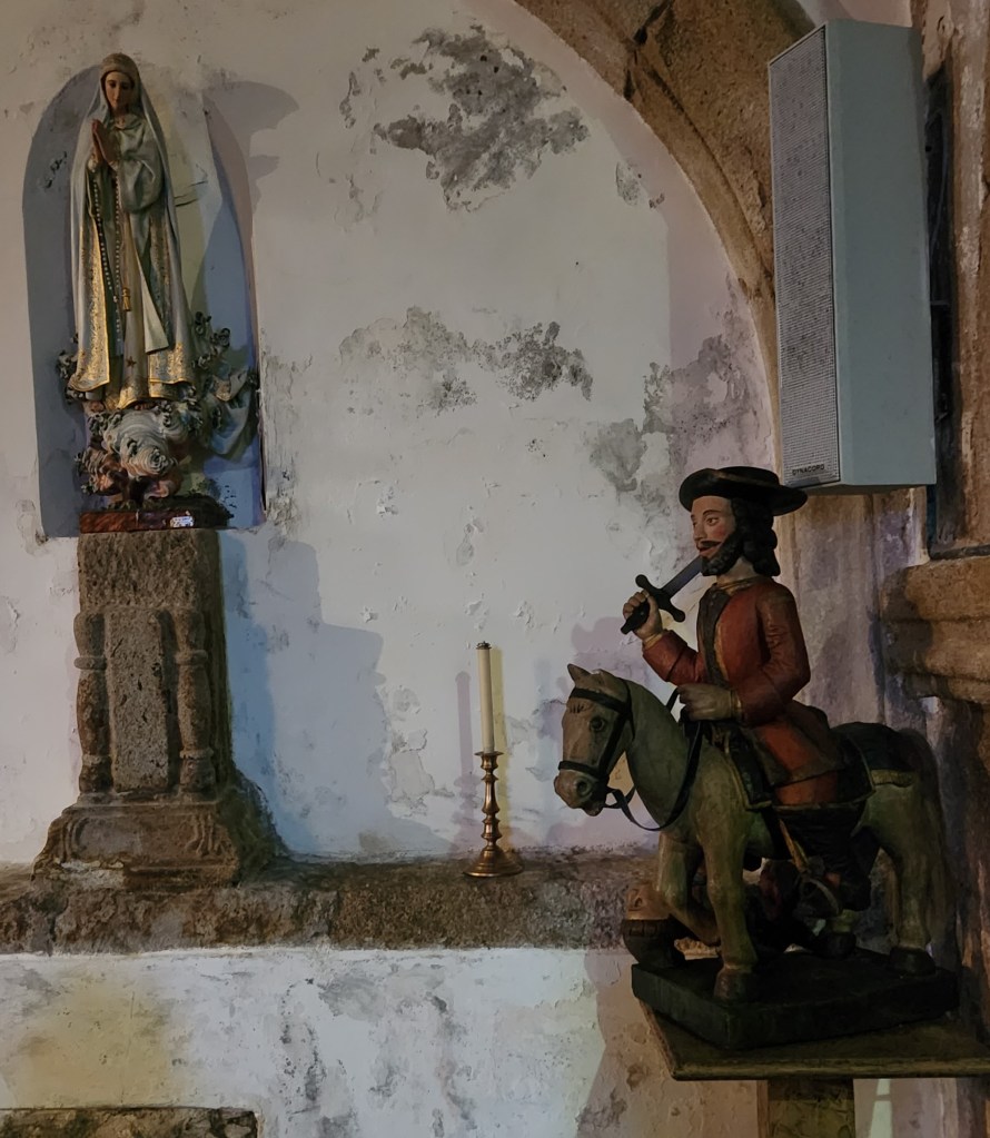
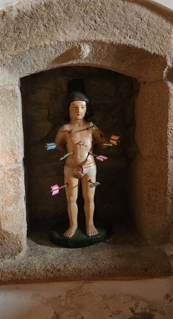
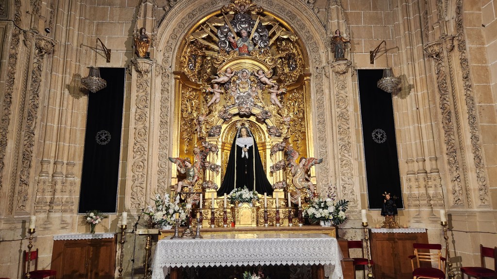
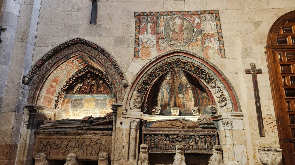
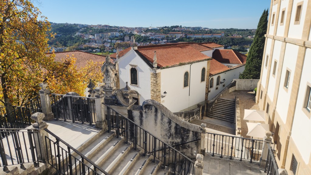
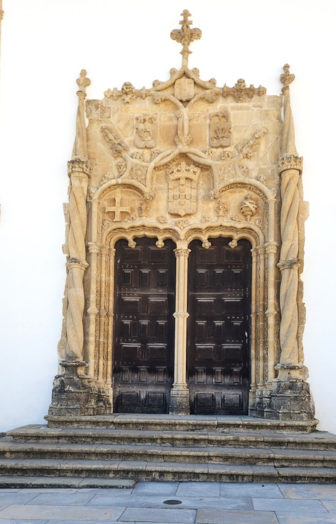
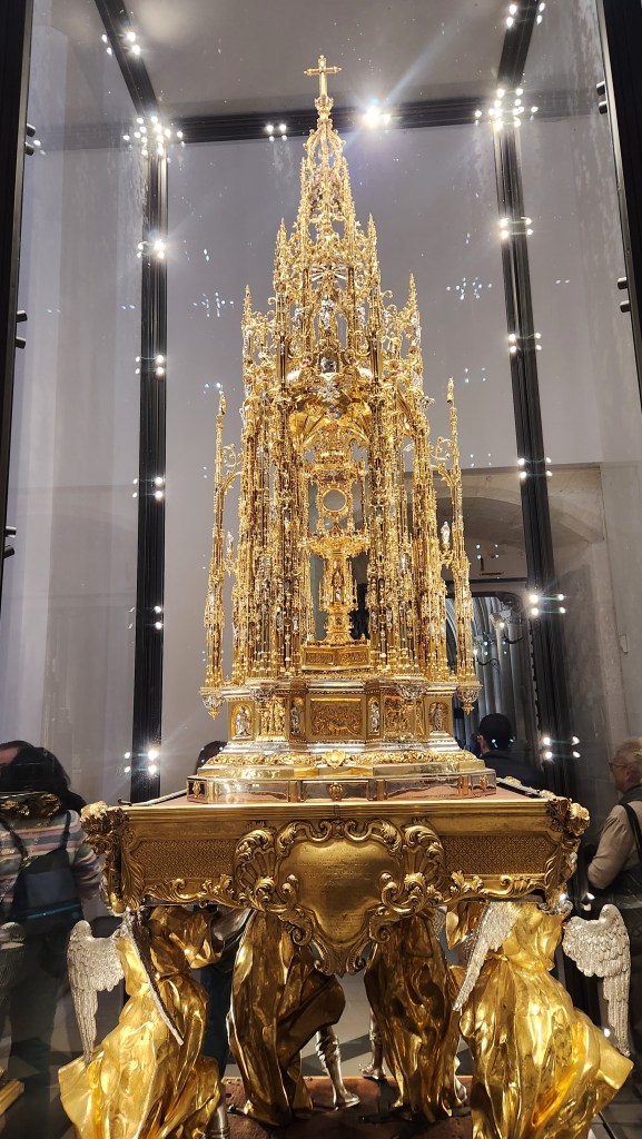
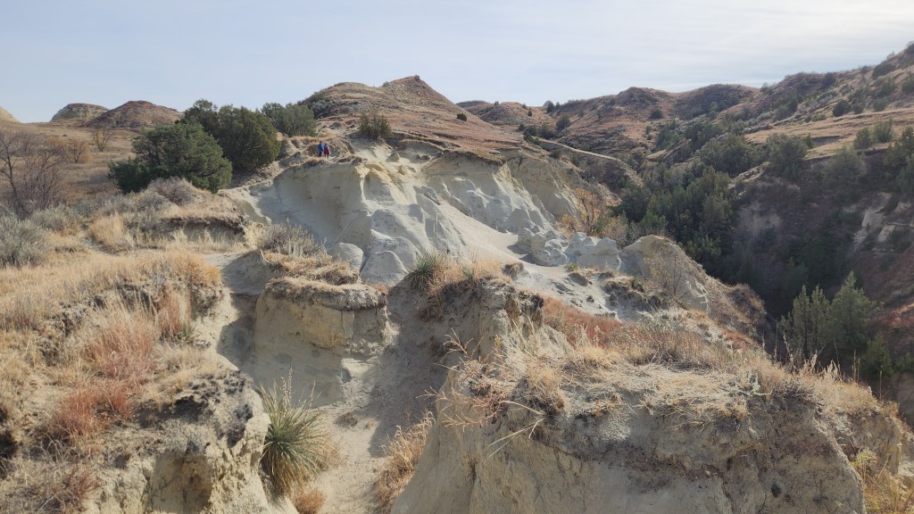
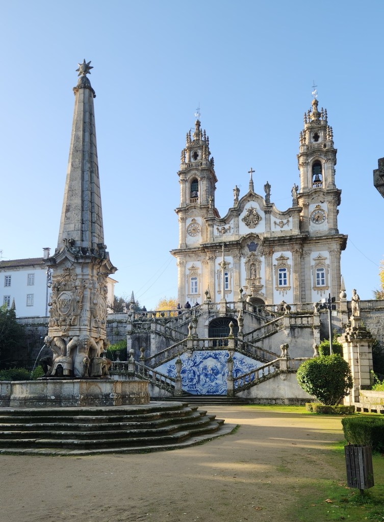
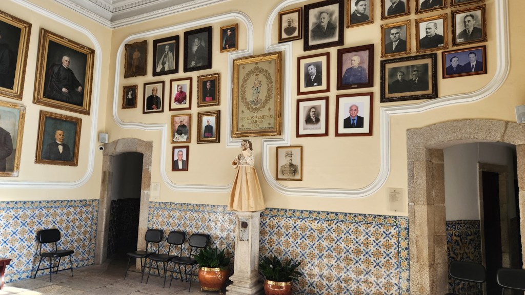
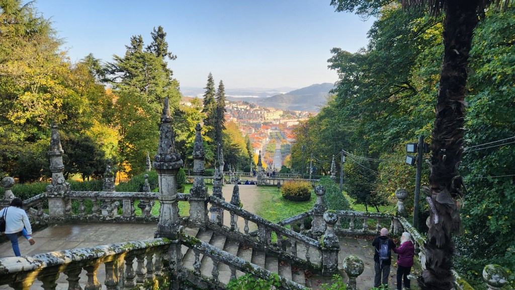
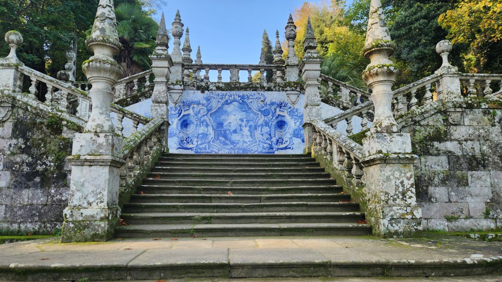
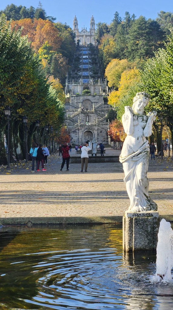
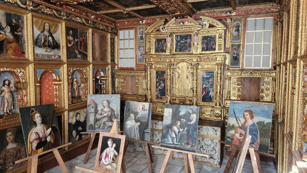
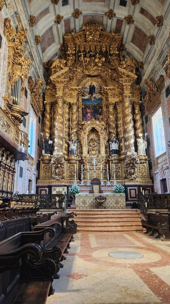
Our first stop was the Sanctuary of Our Lady of Remedies, built in 1750. The church houses an unusual and somewhat controversial statue of a breast-feeding Madonna commissioned at the request of the Bishop of Lamego in the 16th century, initially intended as a shrine to ensure fertility and later seen as a cure for various diseases. The Sanctuary sits at the top of a hill overlooking the city center, accessed by an imposing staircase with 686 steps and beautiful porcelain artworks depicting various historical or religious scenes. Pilgrims hoping to be blessed or cured would climb these steps on their knees to show their devotion before reaching the Sanctuary and kissing the Madonna statue. The church includes many other artworks as well, including a statue of baby Jesus that the nuns carefully dress from head to toe, including stockings.
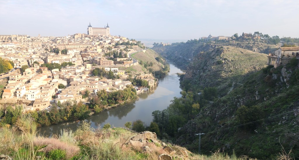
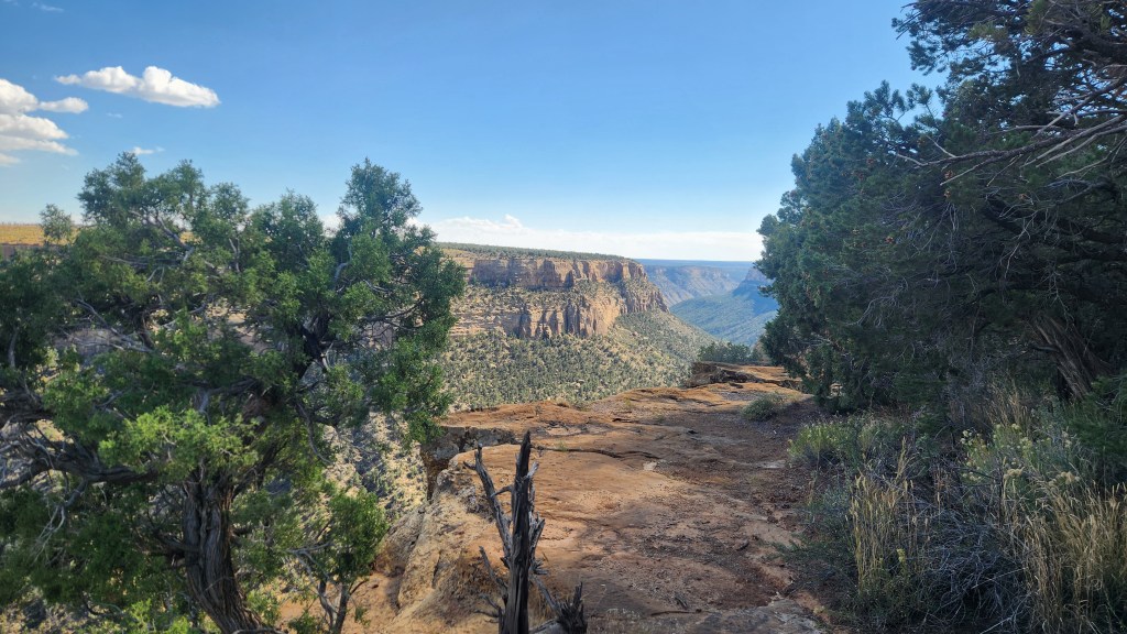
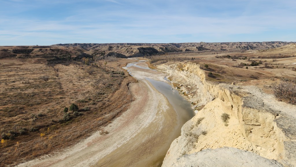
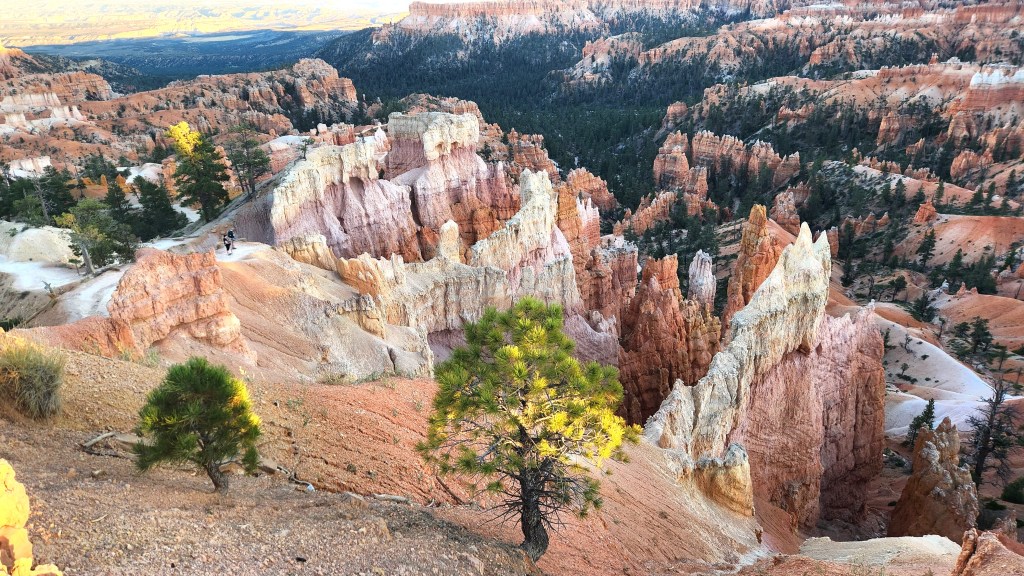
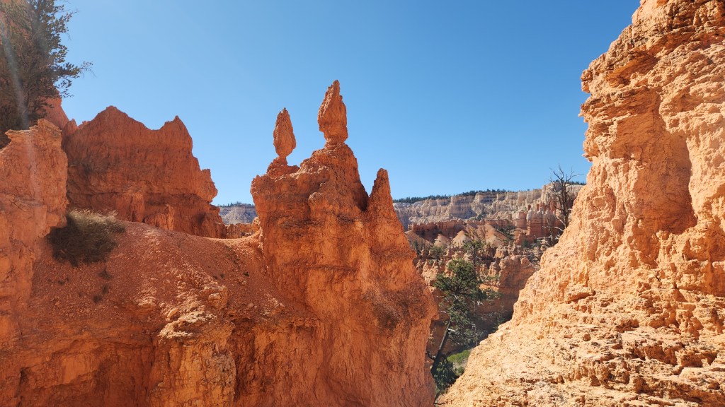
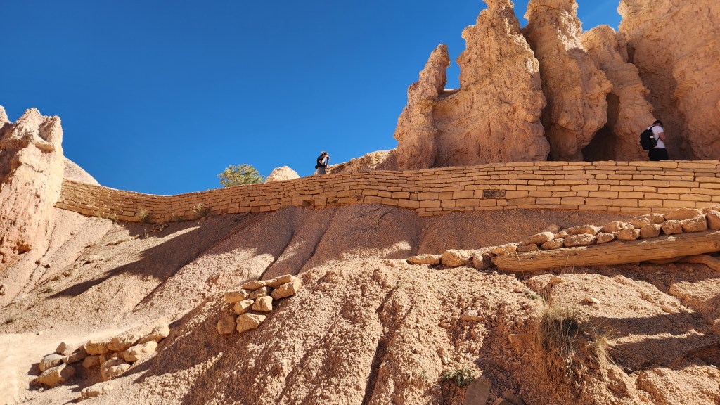
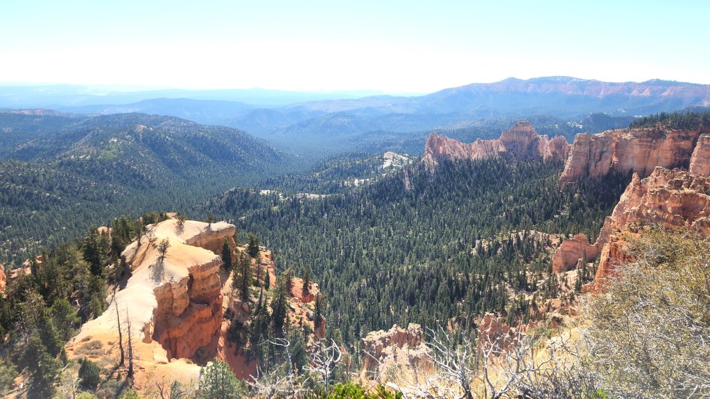
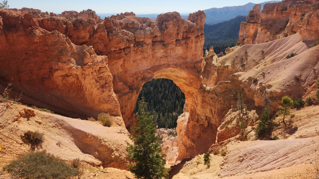
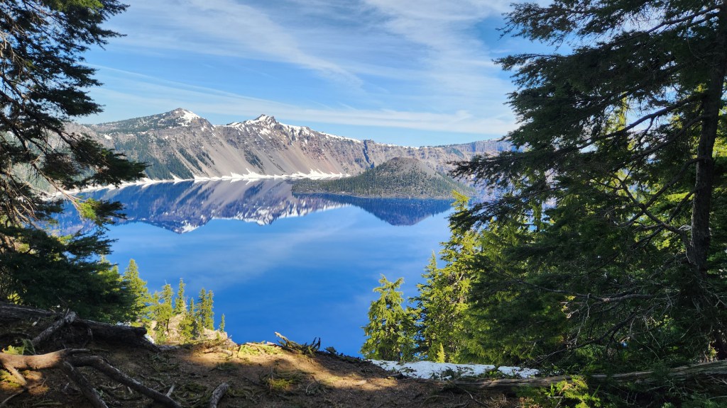
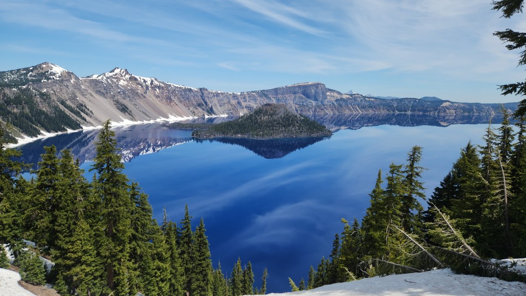
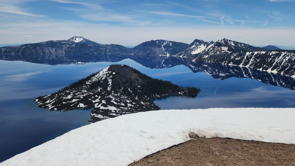
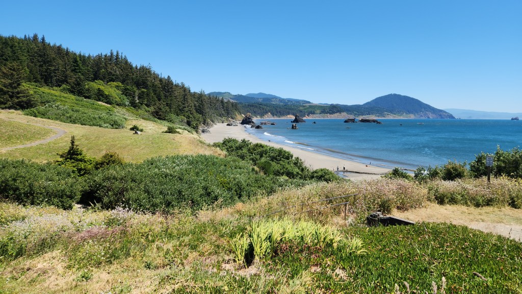
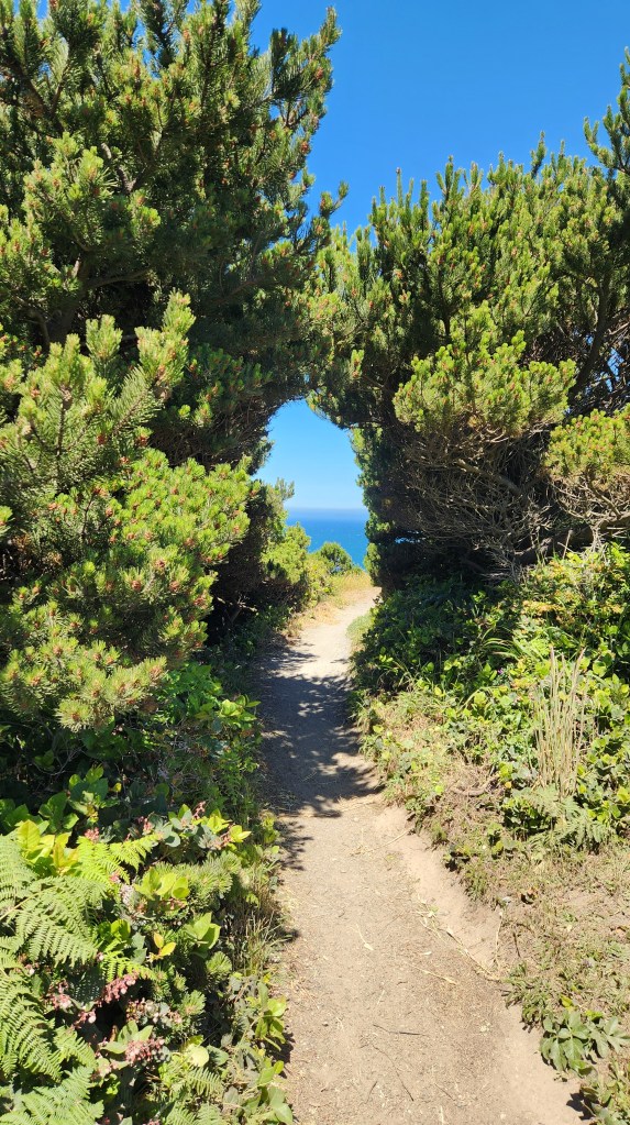
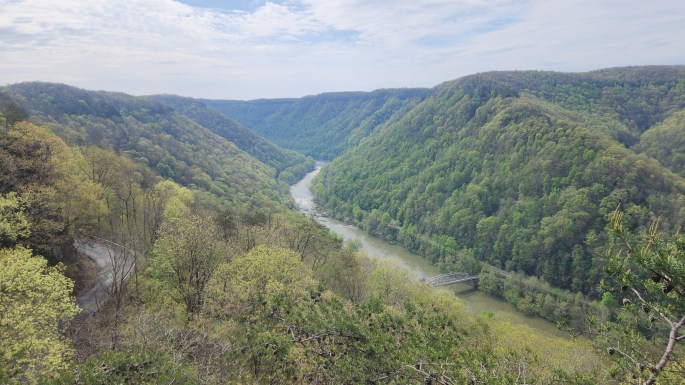
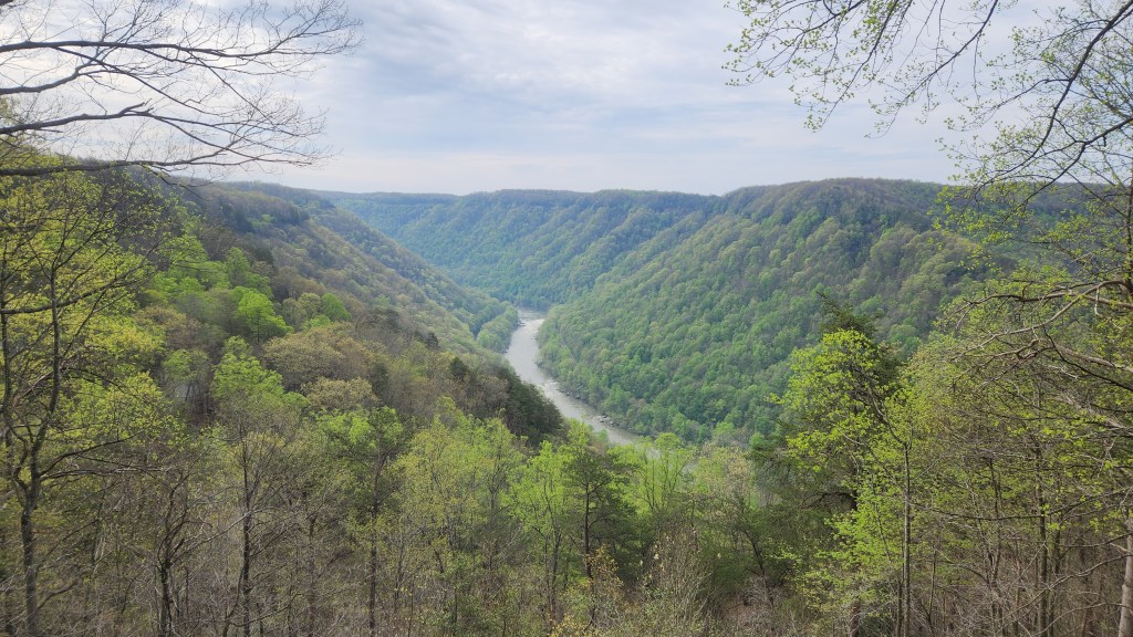
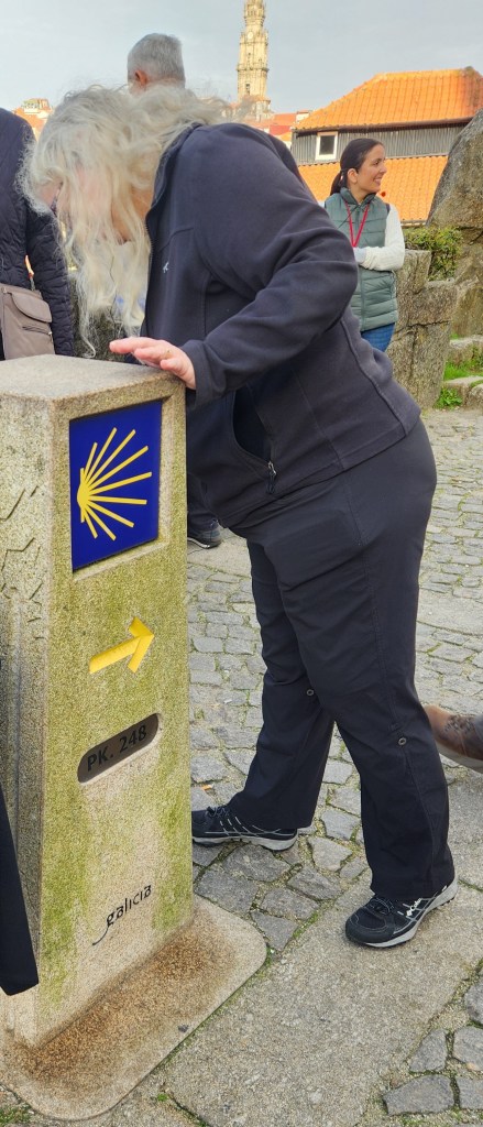
After touring the Sanctuary, we descended the steps to the city center, which provided the stunning views pictured below. Nerd that I am, I tried counting the steps on the way down and came up two off from the official 686, though I’m sure the guidebooks have the correct number.
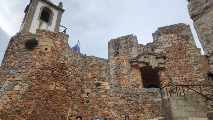
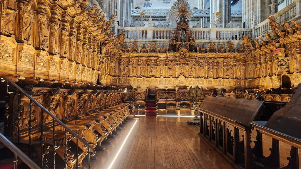
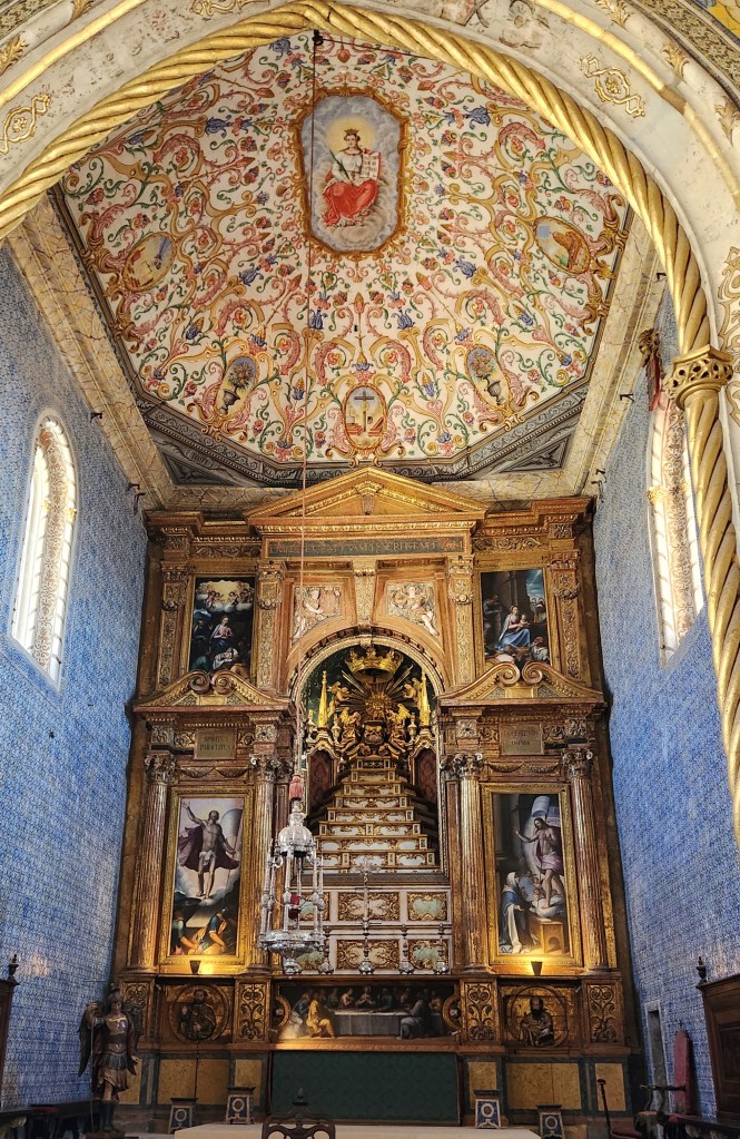
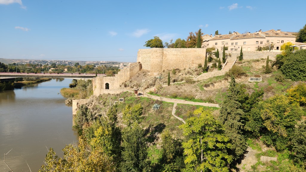
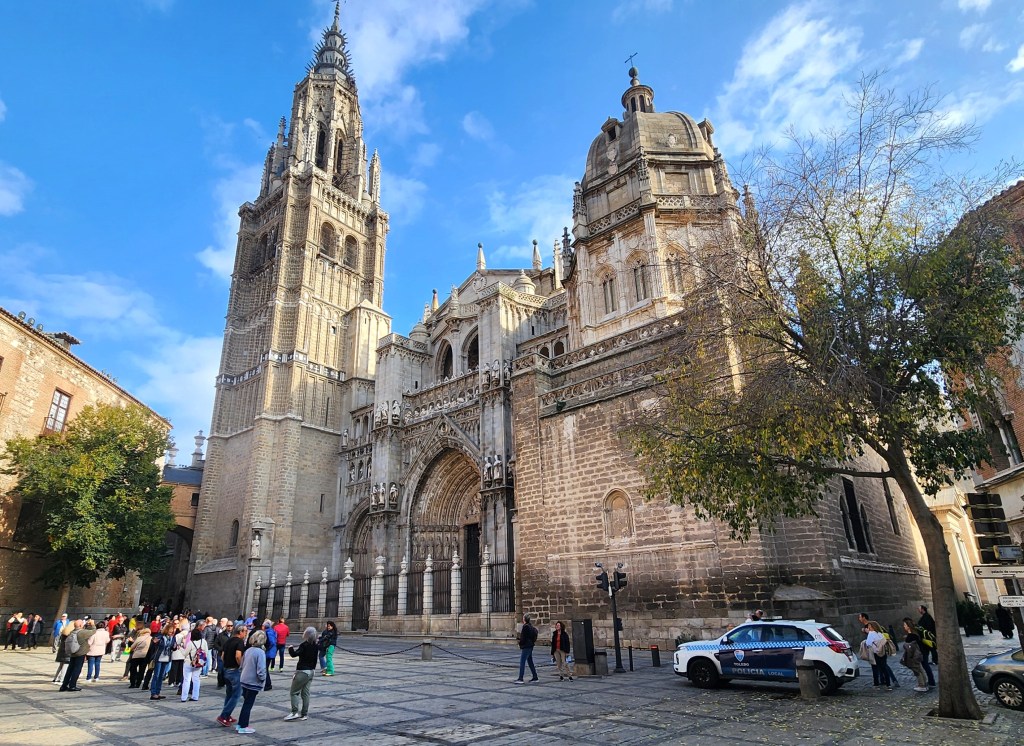
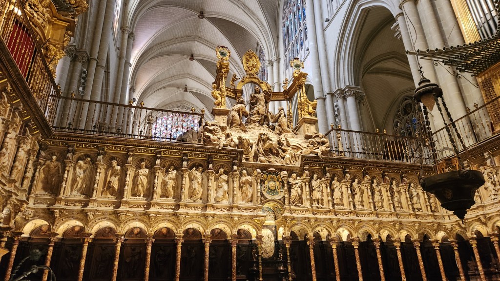
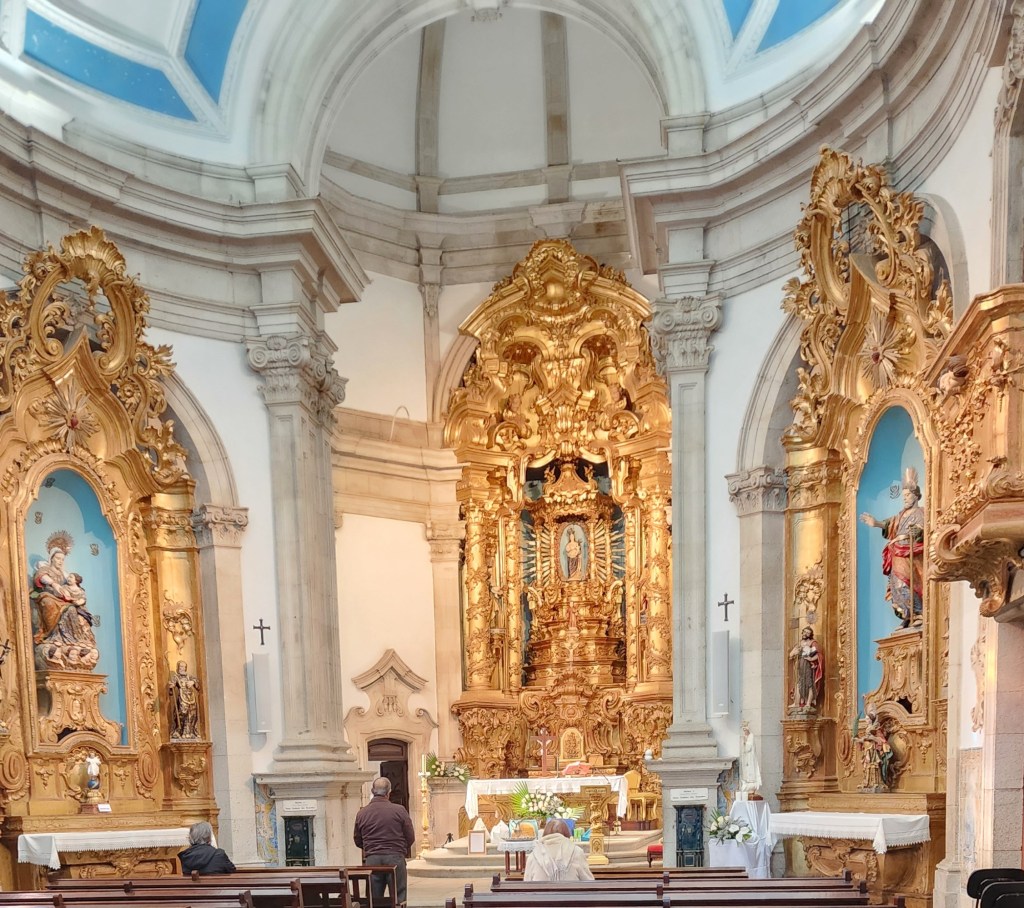
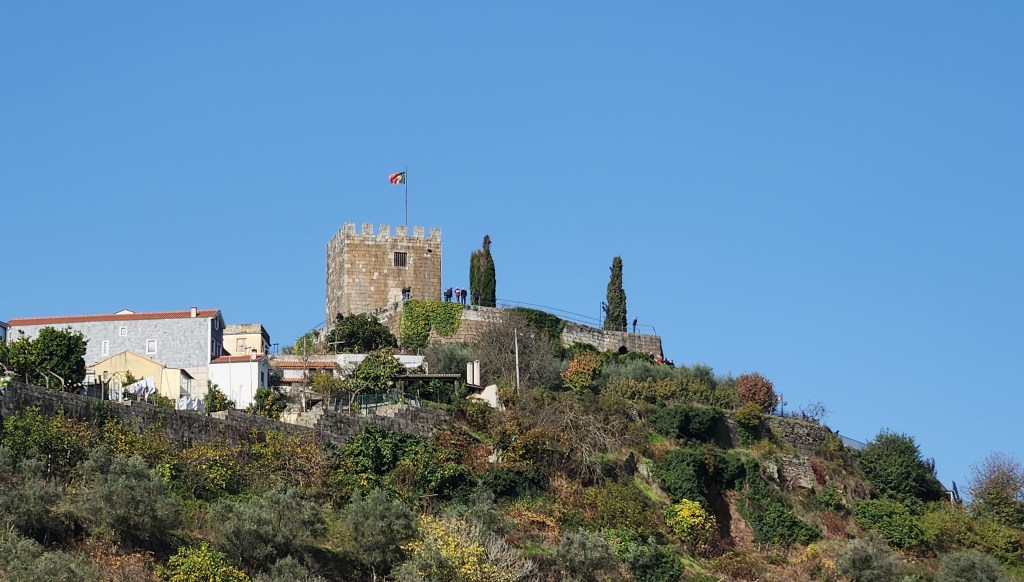
Once in the city center, we visited the Cathedral, which was founded in 1129 and still serves as the seat of the diocese of Lamego that was originally established in about 570. From the city, we had a good view of the medieval castle built in the 12th century by Ferdinand of Leon.
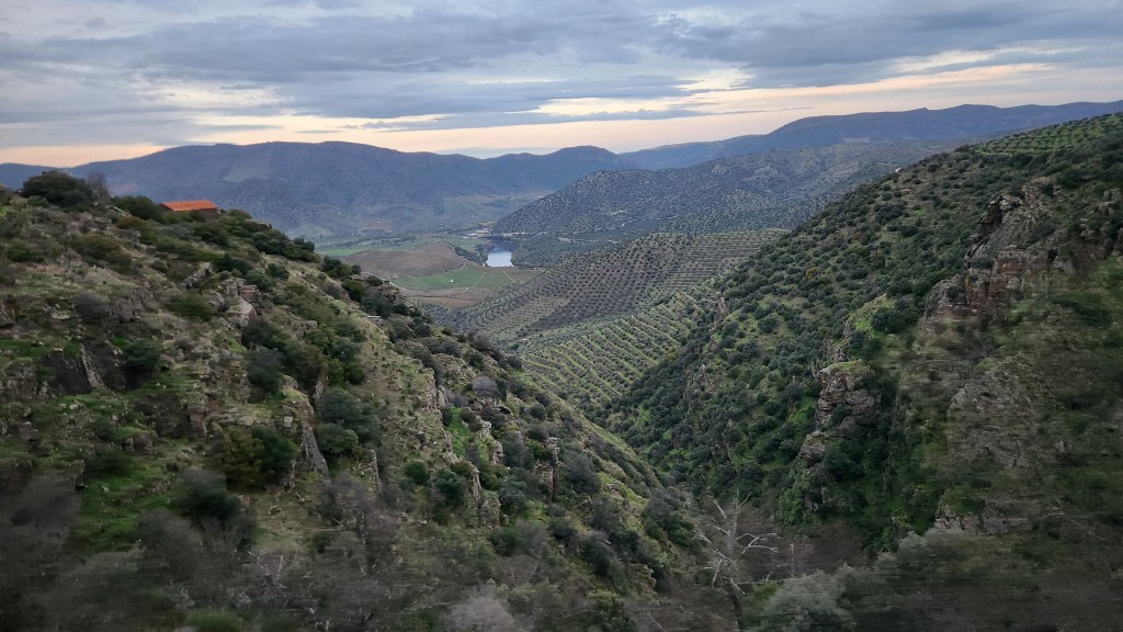
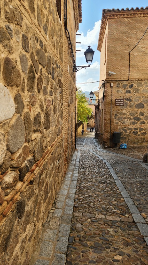
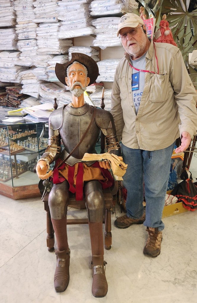
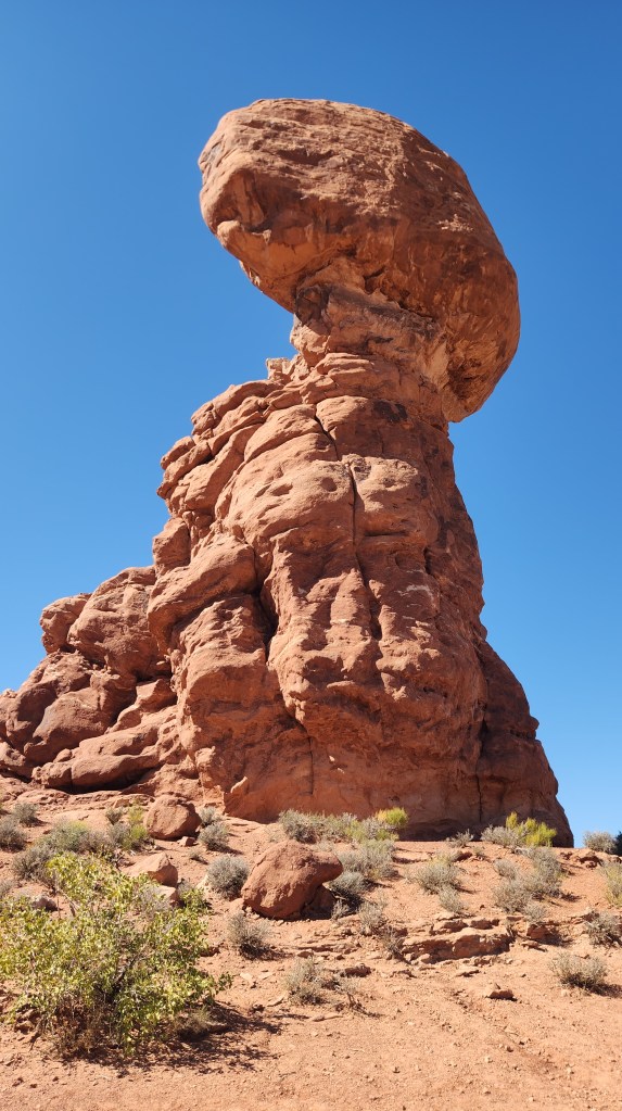
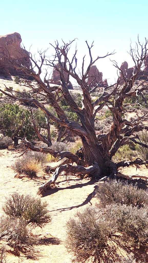
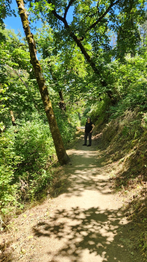
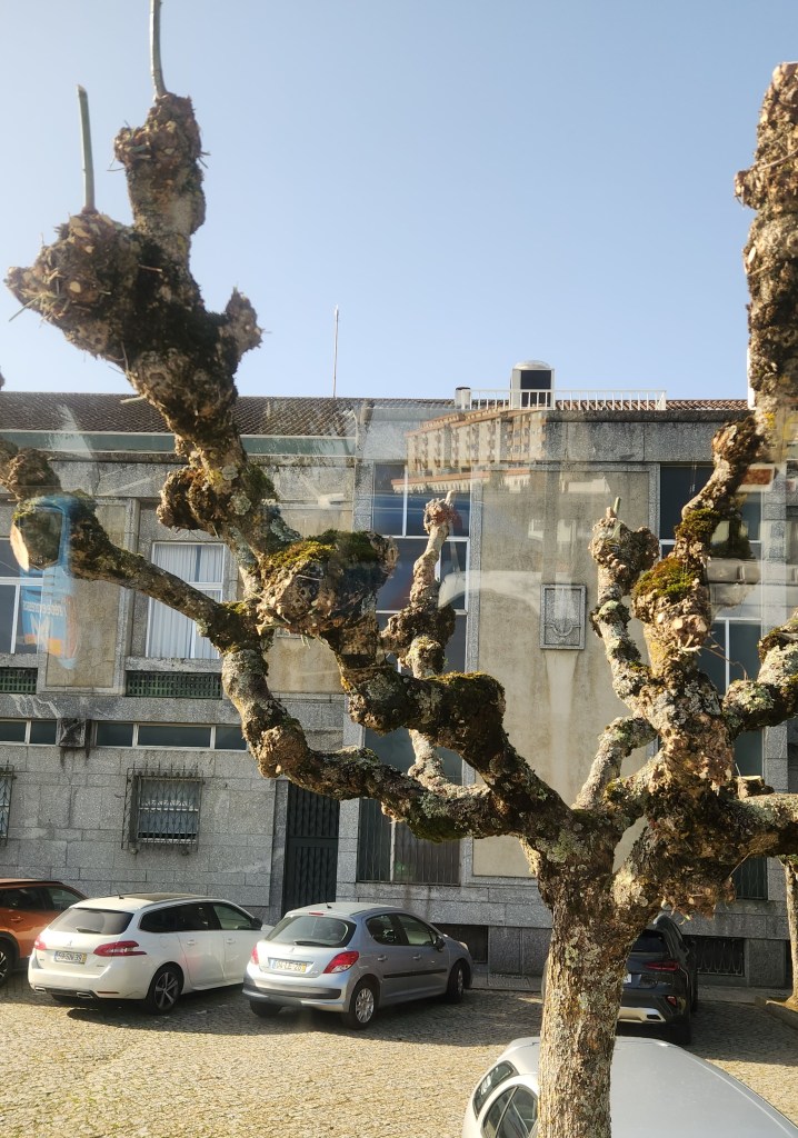
In the city, we bought a purse and a wallet made from cork — Portugal is the world’s leading cork producer, accounting for over 60% of world supply, and Lamego had a lovely shop that specialized in cork products. As we were leaving town, I noticed some odd-looking trees, which are a type of oak with no leaves. Cork-producing oaks are the most valuable type in Portugal, but there are also many evergreen oaks and quite a few of these Dr. Seuss-like ones.
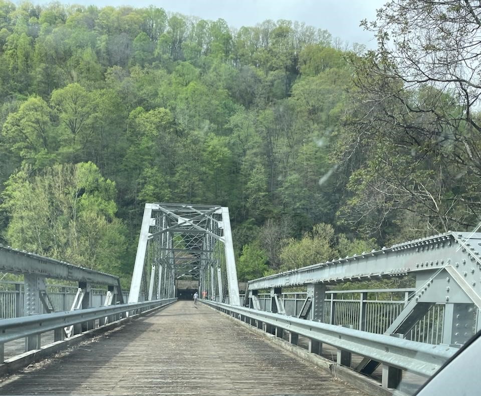
After a long drive through the impressive Portuguese countryside, we reboarded the ship at Entre-os-Rios. Once all the excursion passengers were aboard, the Helgrim resumed sailing downstream to its starting point at the pier in Vila Nova de Gaia where it docked for the night.
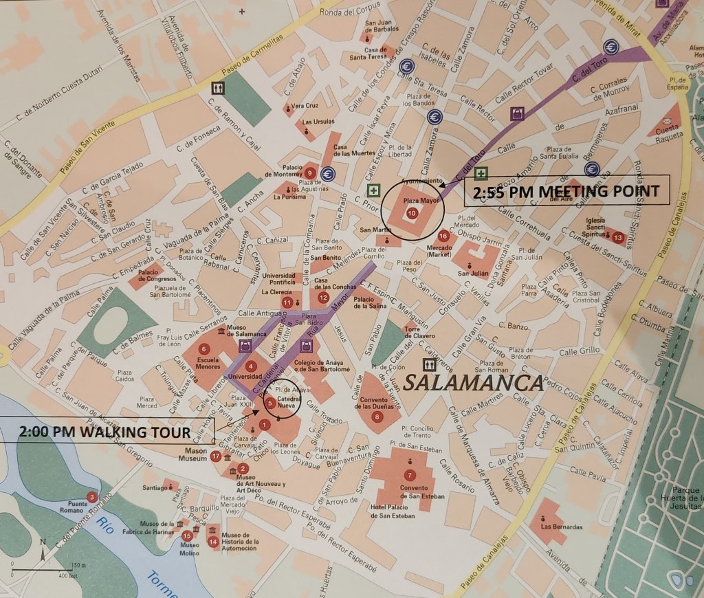
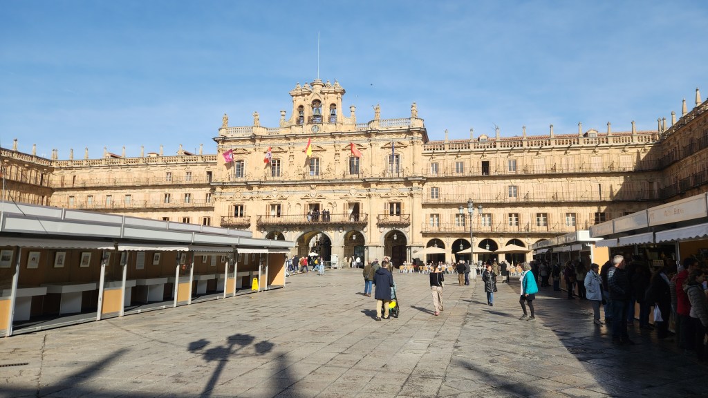
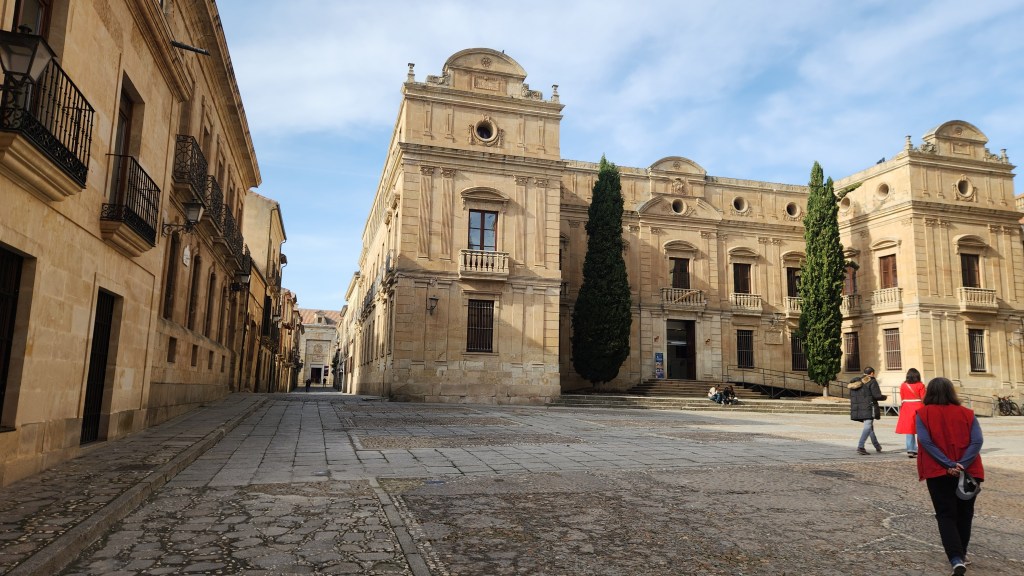
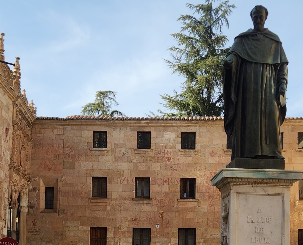
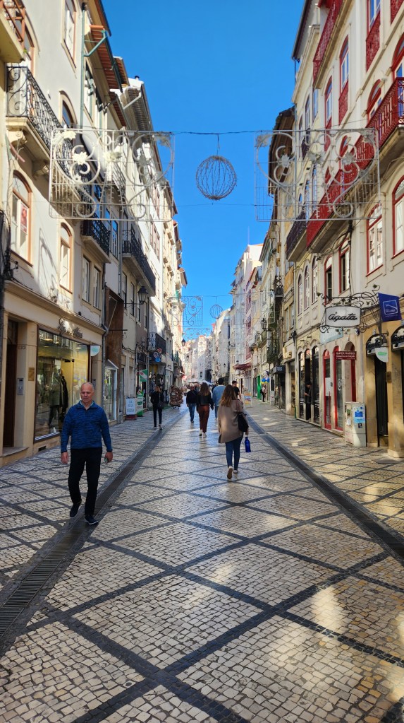
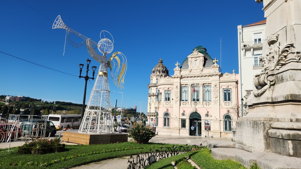
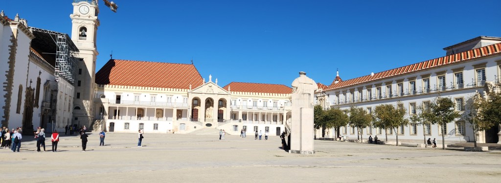
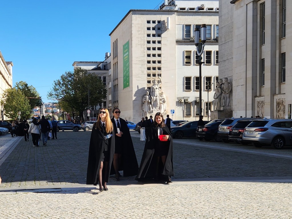
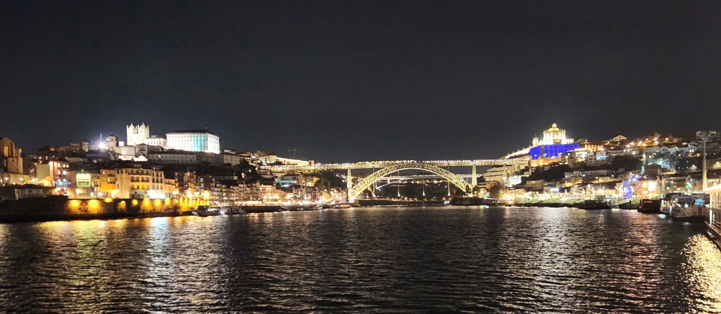
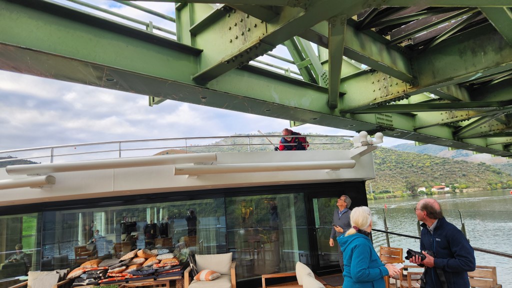
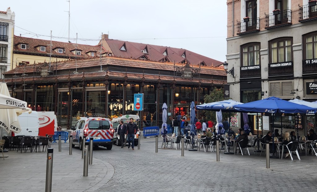
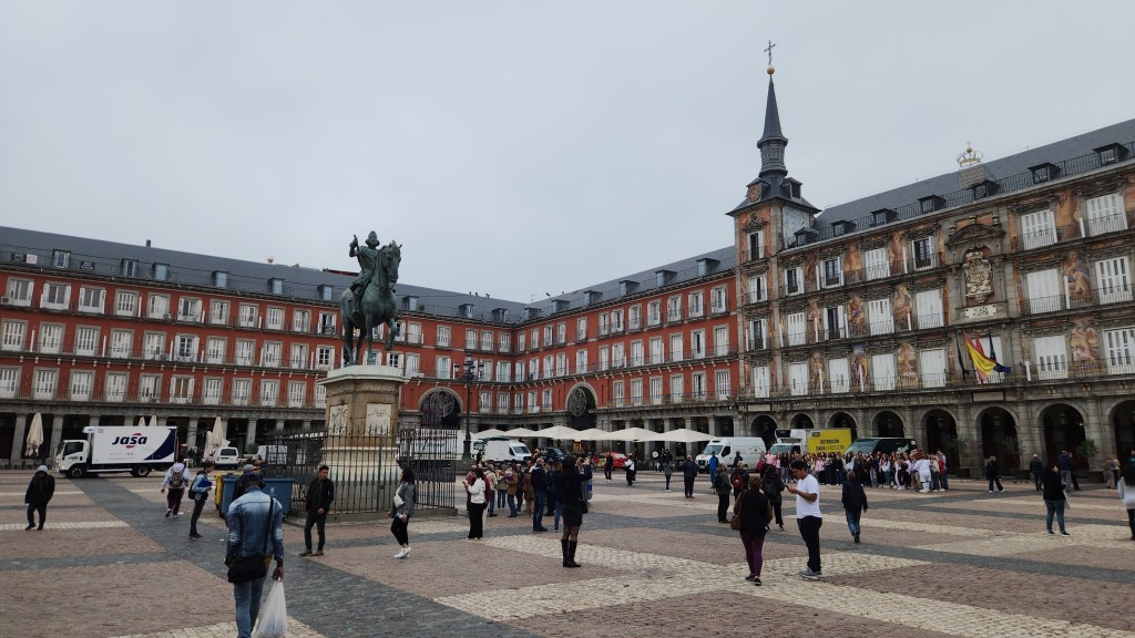
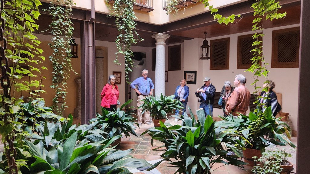
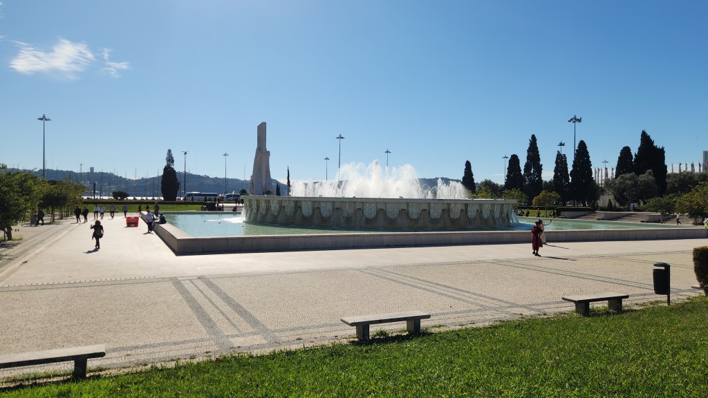
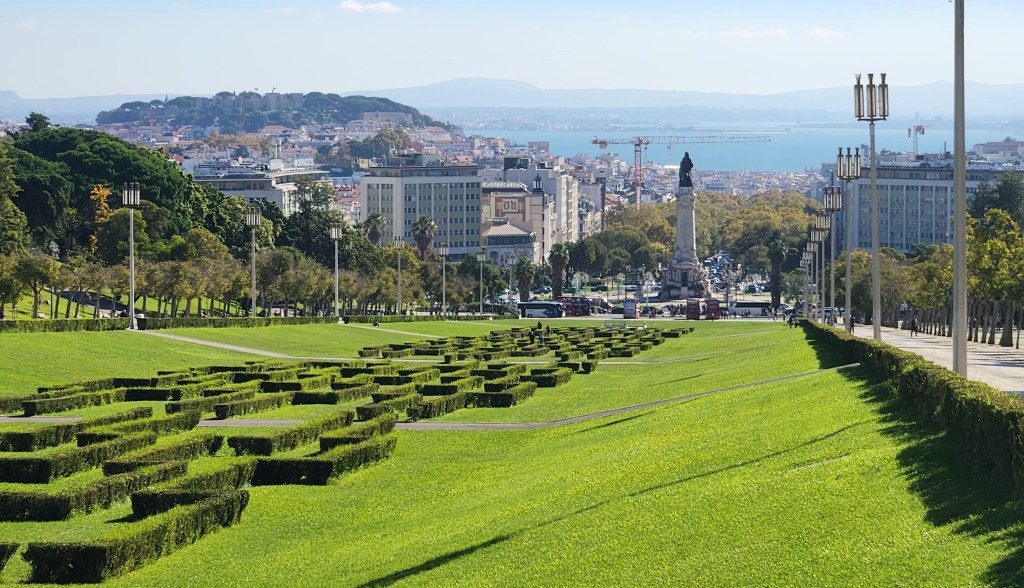
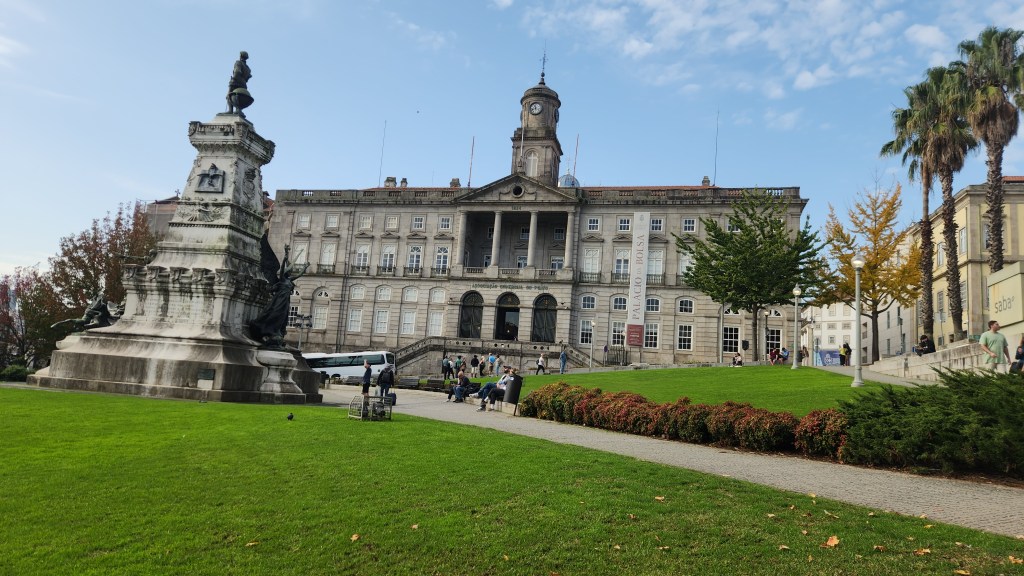
Porto (November 18): On Monday the 18th at 8:30 AM we left the Helgrim at its dock in Porto for a short bus ride to a bridge across the Douro River linking Vila Nova de Gaia, or just Gaia as the locals call it, and Porto. There we met up with a local guide who led us on a walking tour of the city. The map below shows some of the interesting places we saw on the excursion.
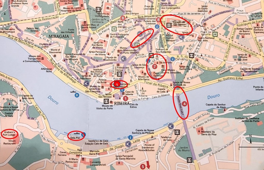
Our tour stops and points of interest included the following.
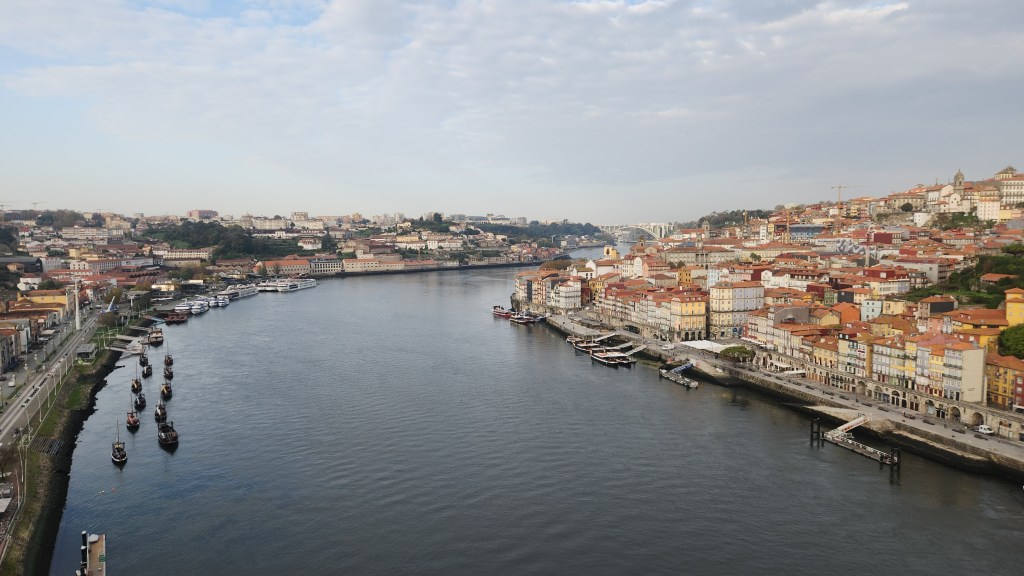
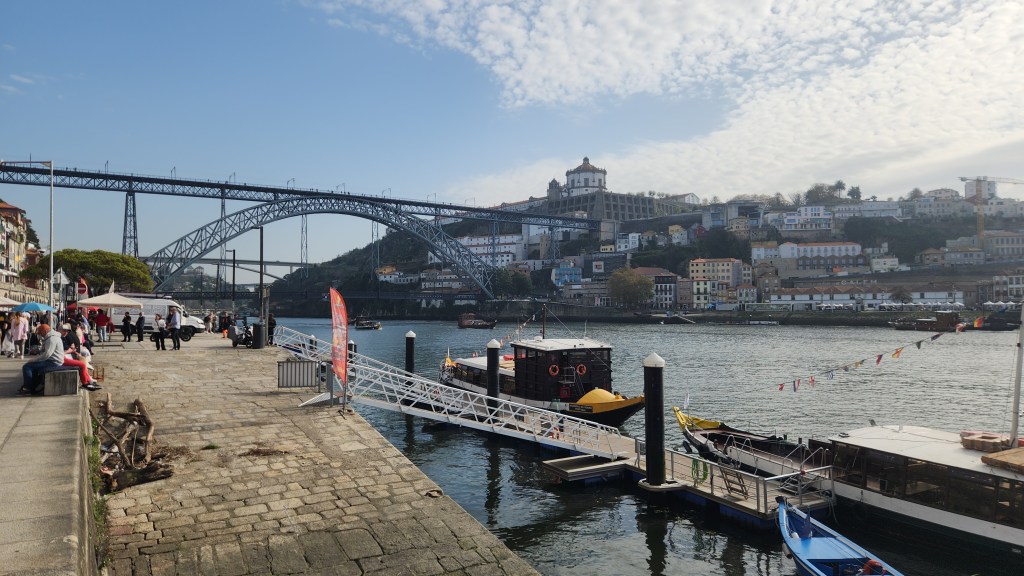
- We began by crossing the Luis I bridge (location 4 on the map above) from Gaia into Porto. Here are some photos looking downriver and upriver from the bridge.


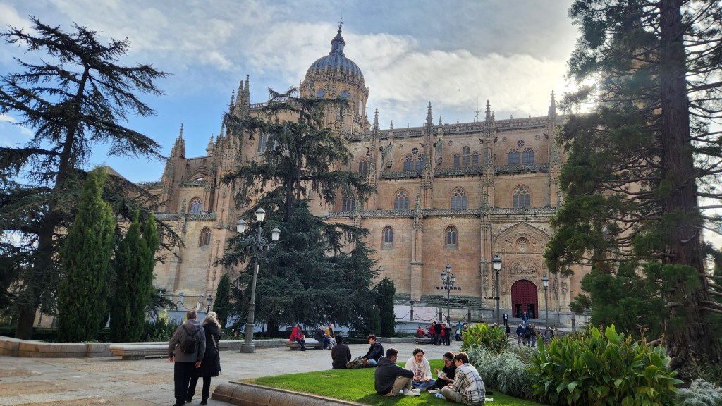
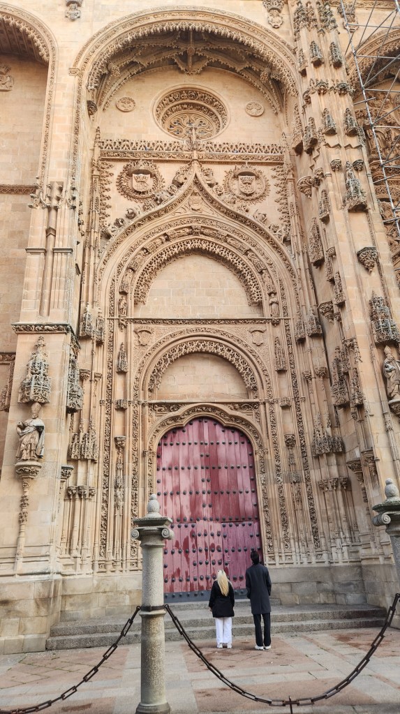
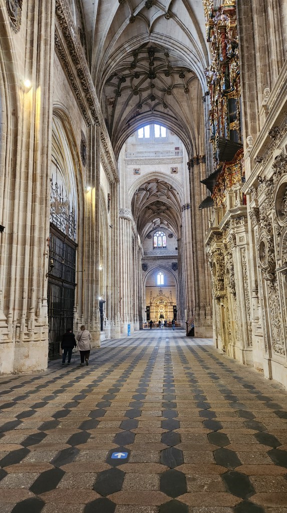
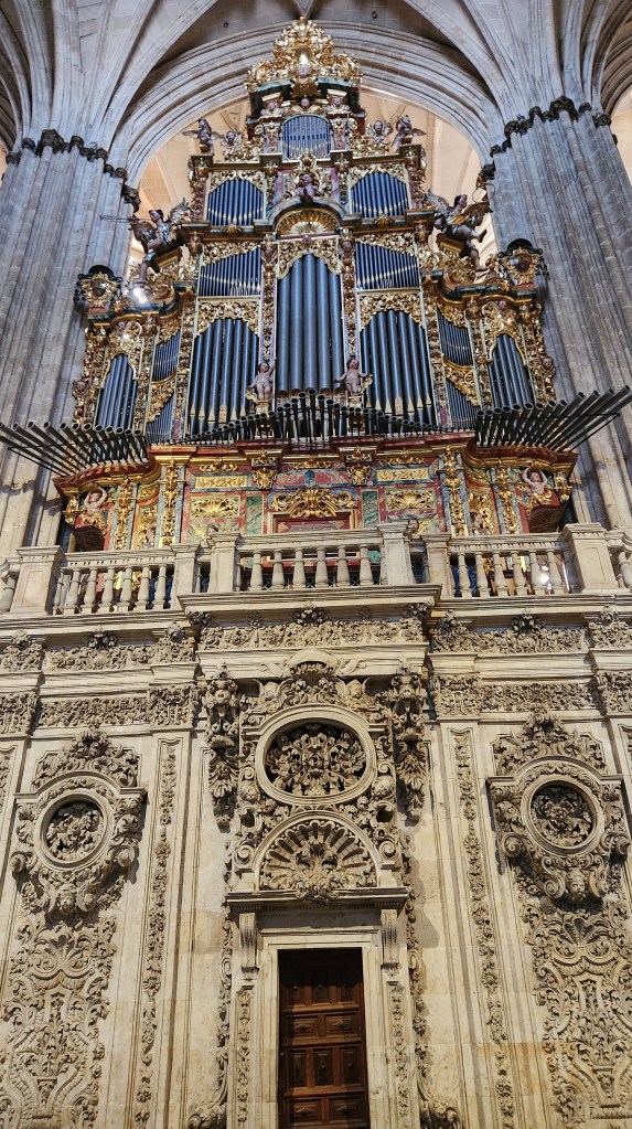
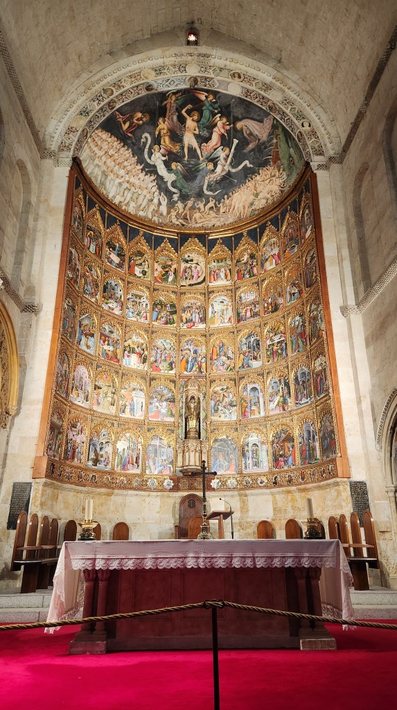
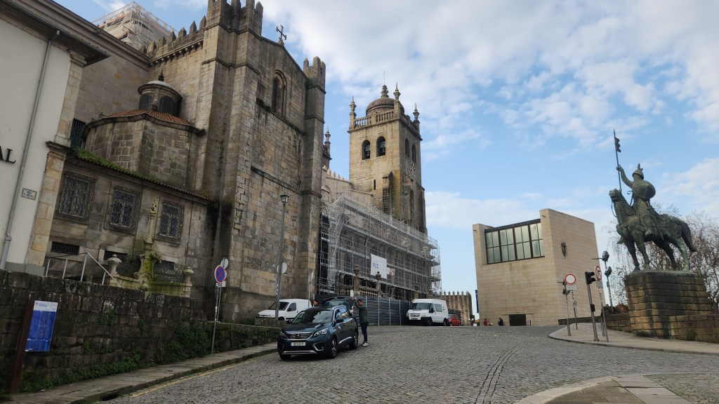
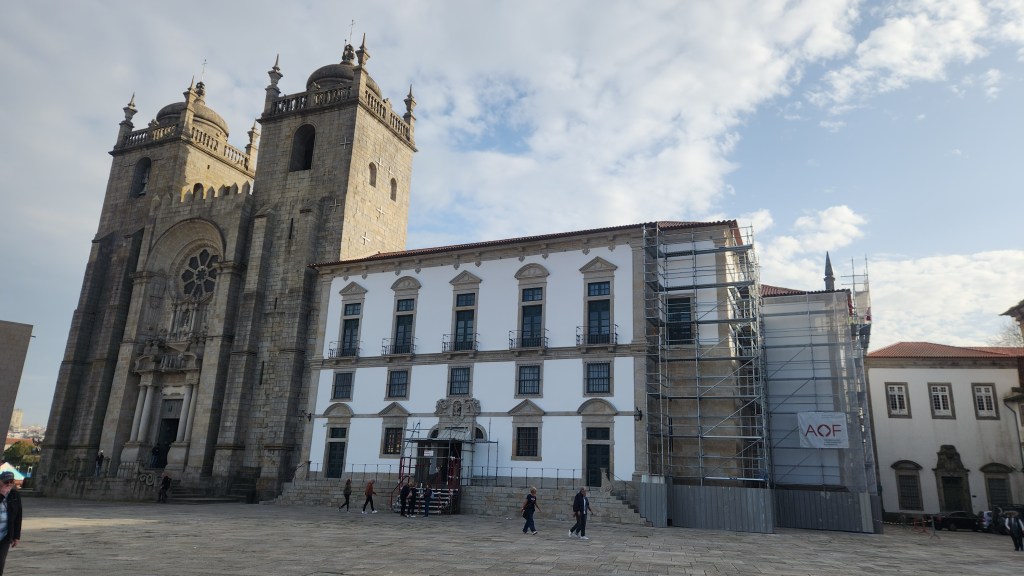
- The Cathedral of Porto (location 7). Construction of the Cathedral began in the second half of the 12th century and work continued until the 16th century. There were major Baroque additions in the 18th century, and further changes were made in the 20th century.

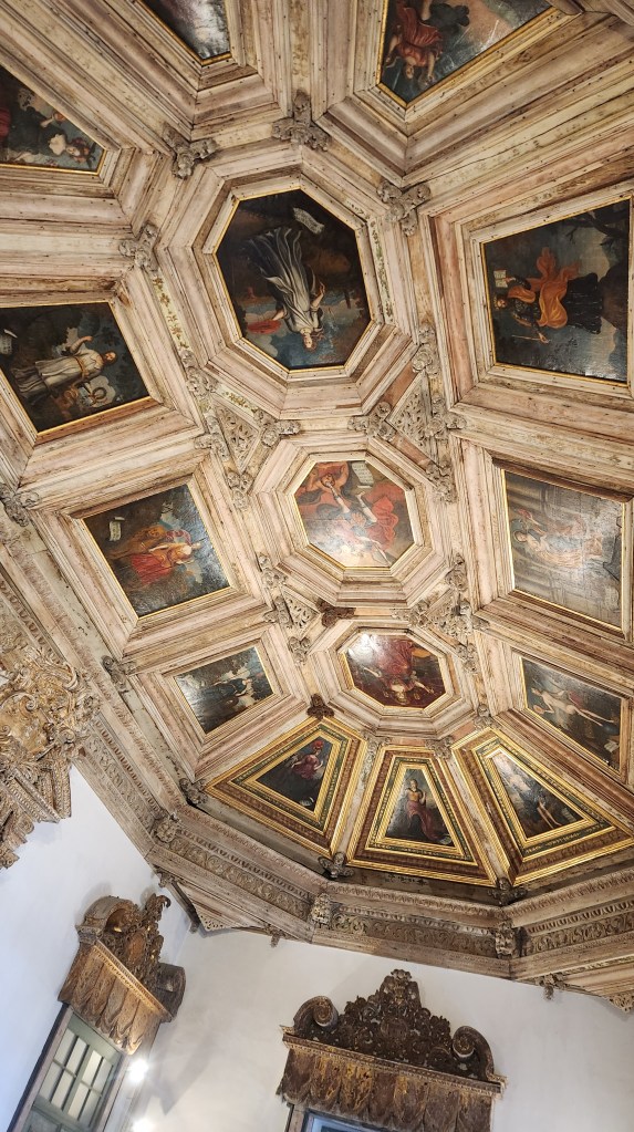
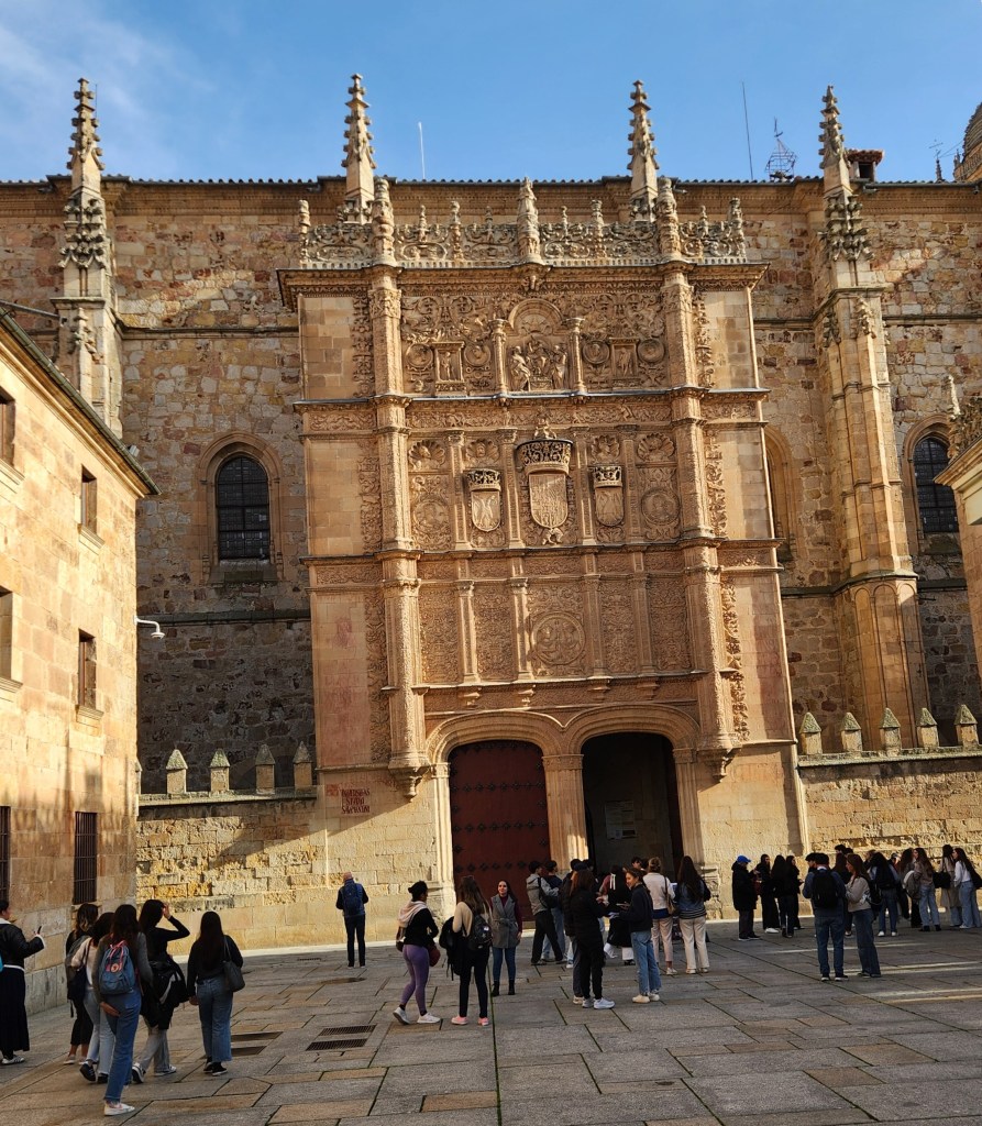
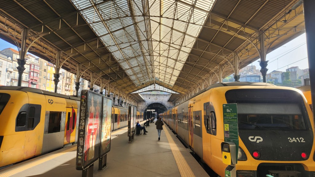
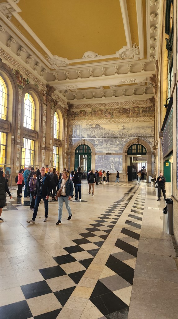
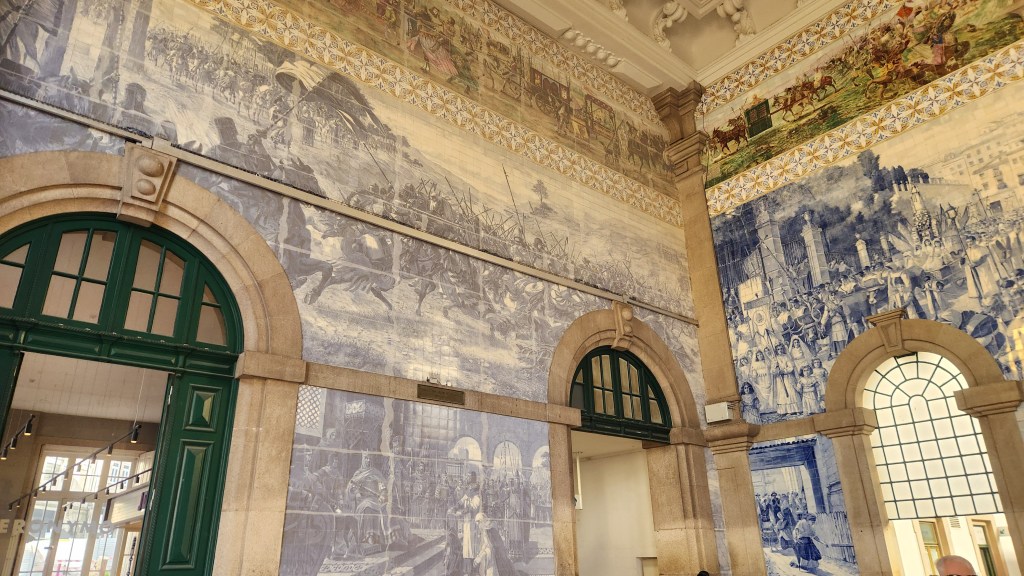
- Sao Bento Railway Station (location 8). This is a major rail hub serving all of Portugal. Construction of this building began in 1904, and the entry hall includes beautiful ceramic panels illustrating the history of Portugal.
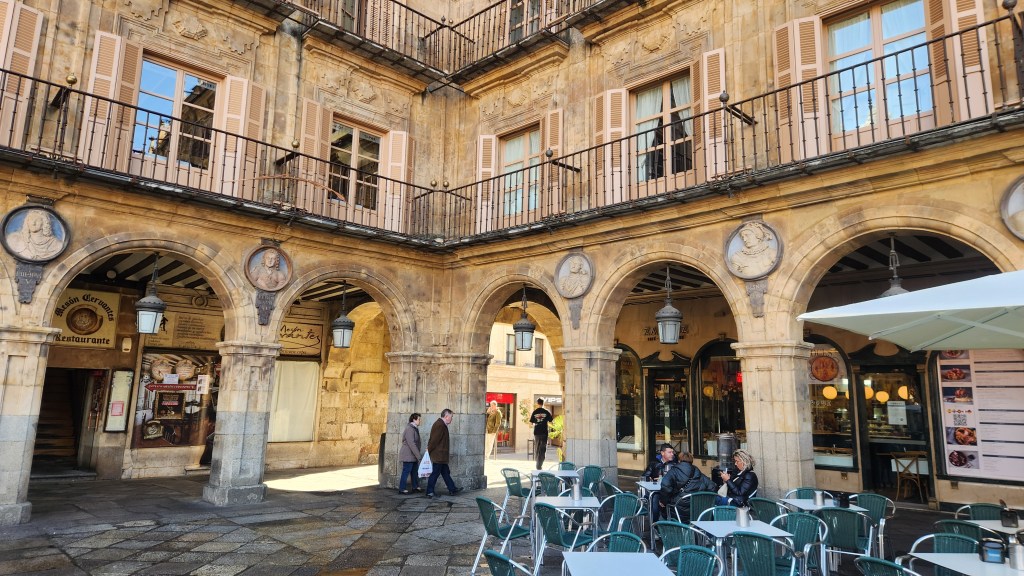
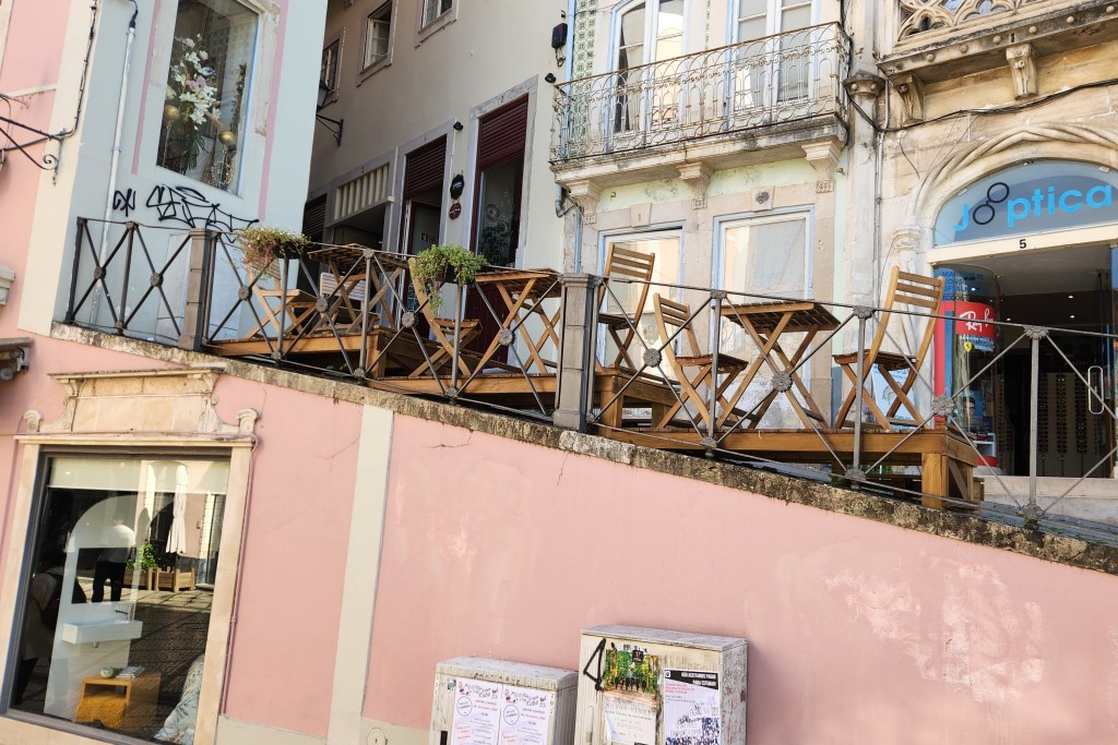
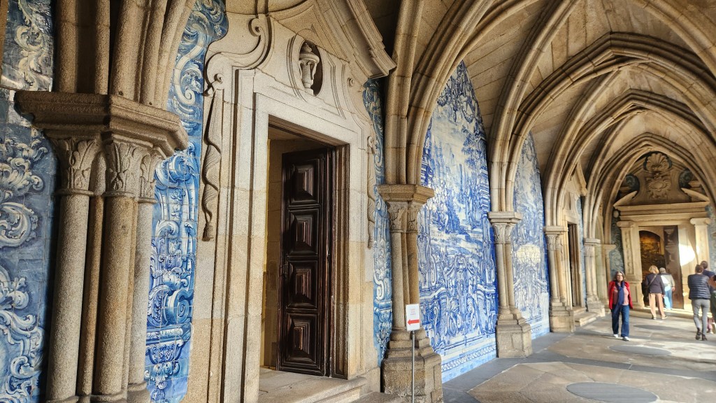
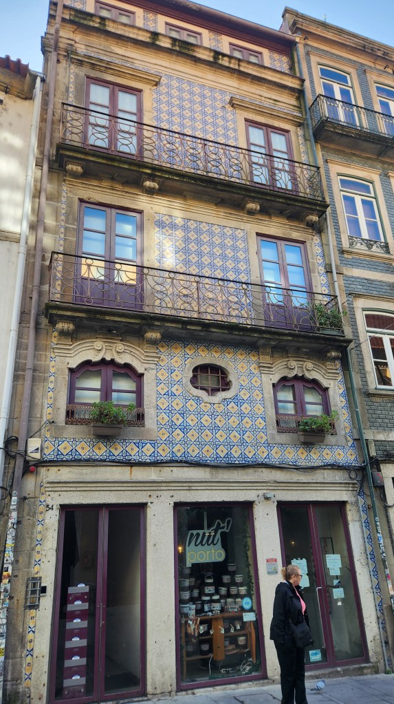
- Various streets of the city, including Rua des Flores (Flower Street), a major shopping boulevard. Here are some photos illustrating the architecture, especially the lovely balconies and ceramic tiles.


- A plaza (location 9) dedicated to Prince Henry the Navigator (1394-1460), regarded as the main initiator of the Age of Discovery during which Portugal explored much of the world.
After the walking tour, we took a water taxi across the Douro River and walked back to our ship moored at the Gaia Pier, arriving about 12:15 PM.
Note that the map above also shows the location of Graham’s Port Lodge, which we visited back on November 12 as described in Part 2 of this series.
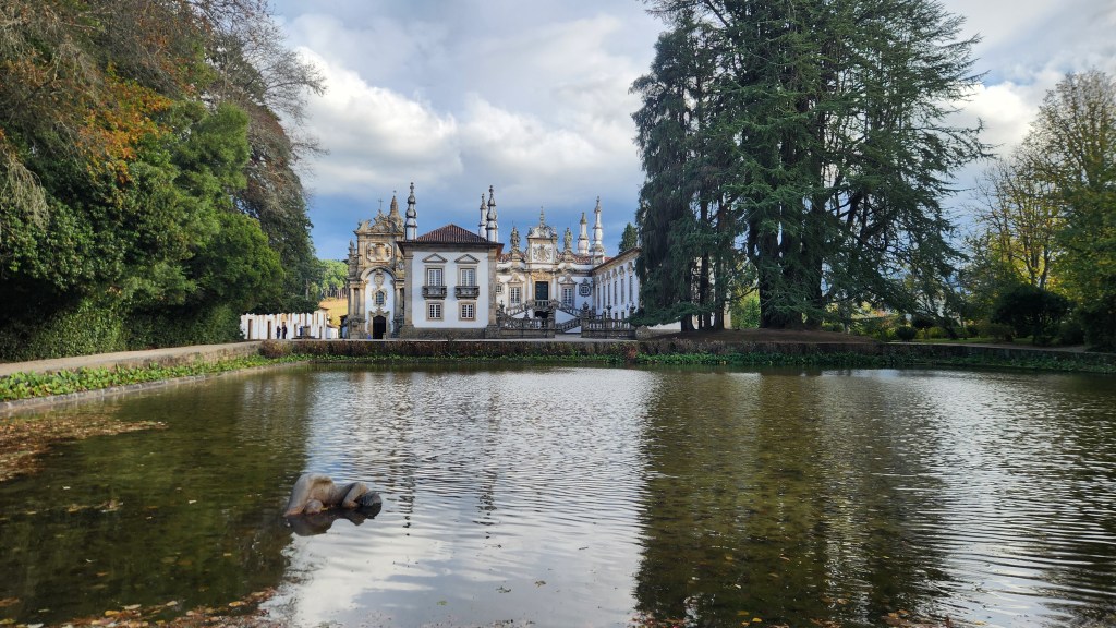
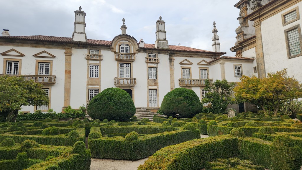
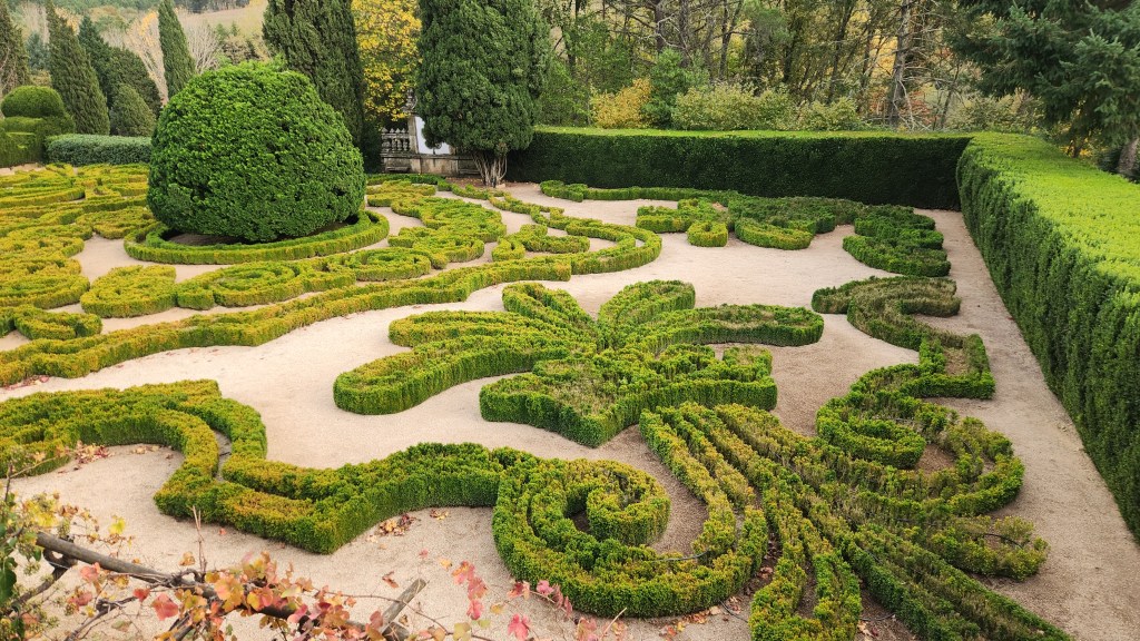
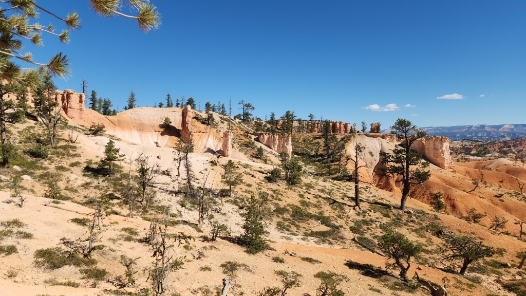
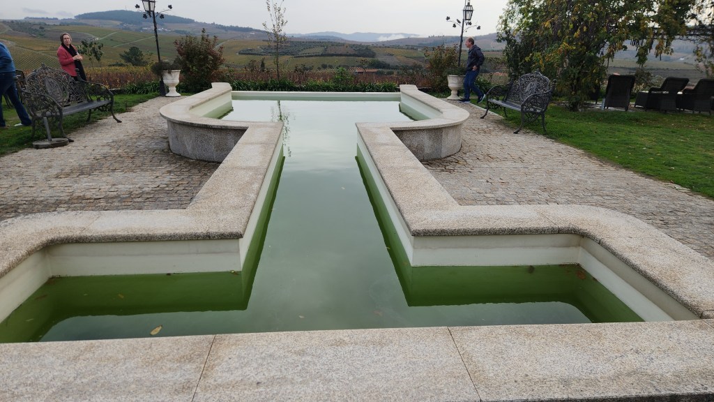
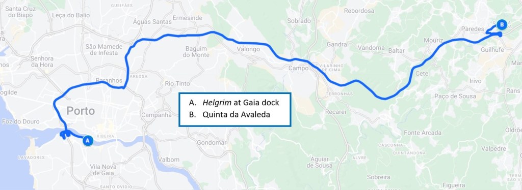
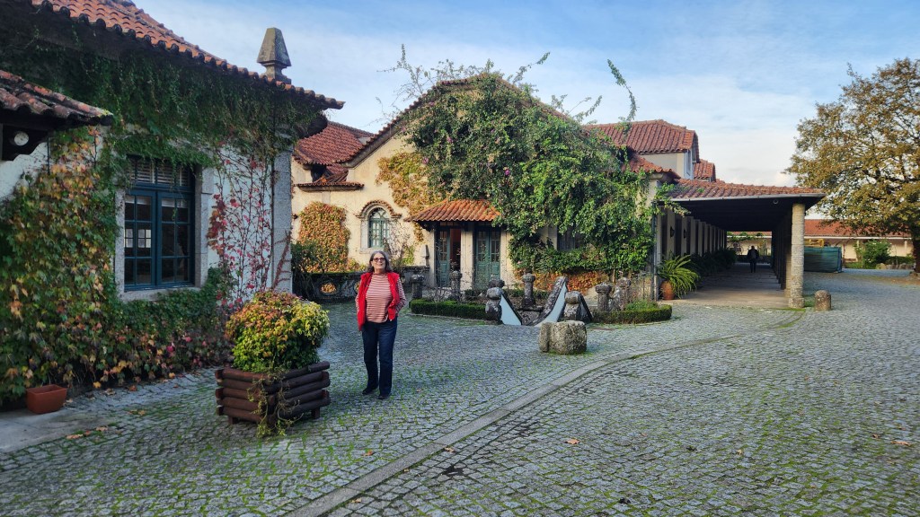
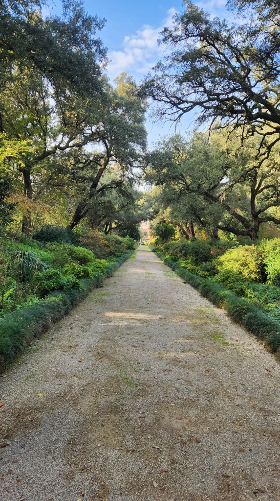
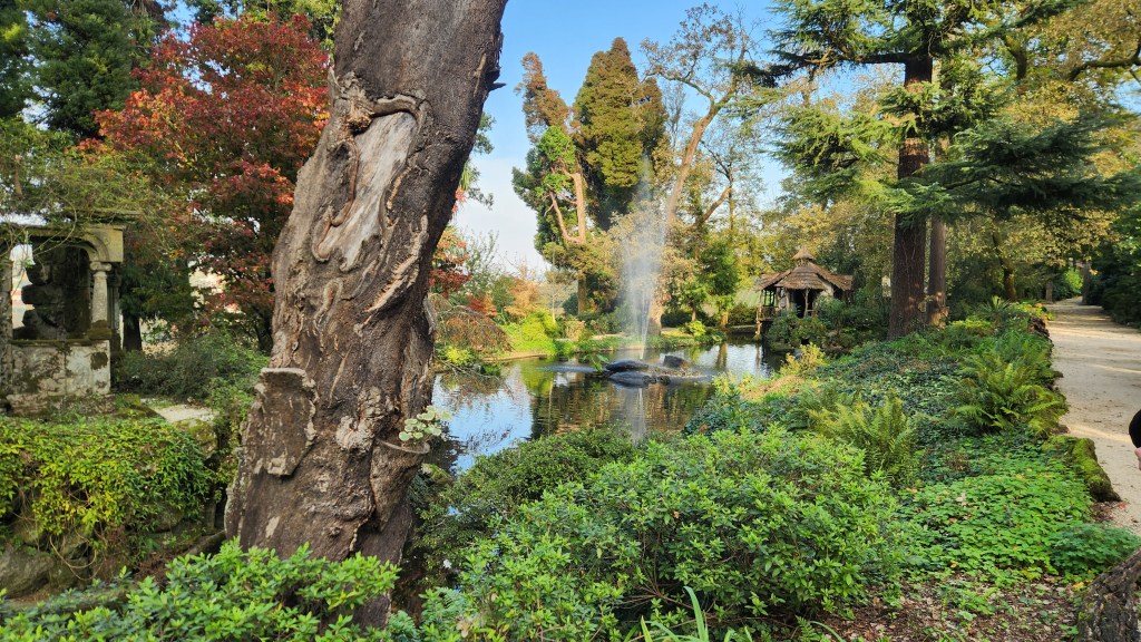
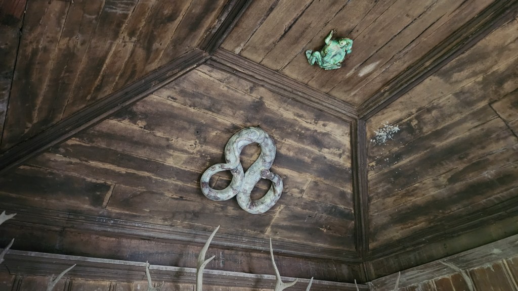
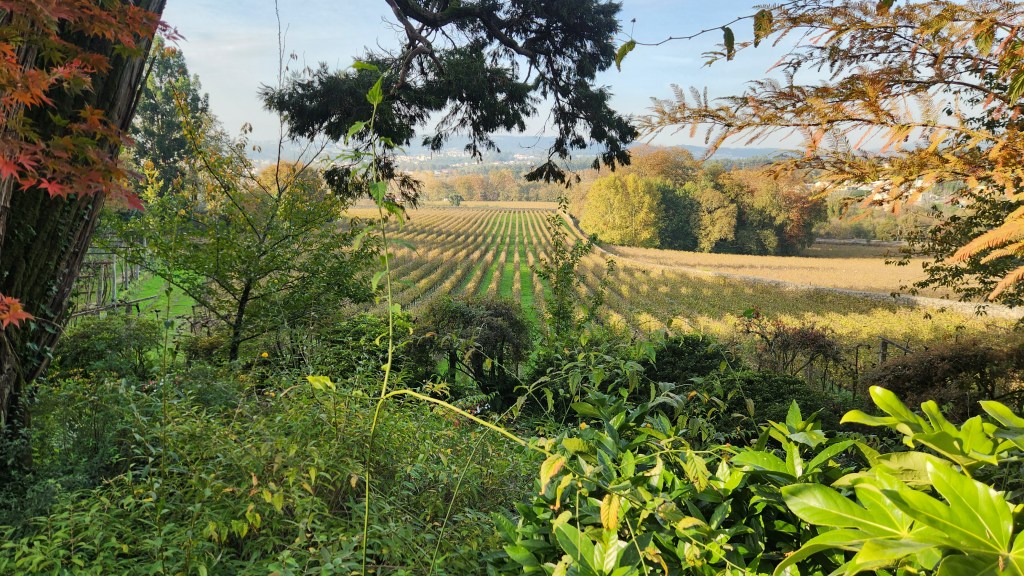
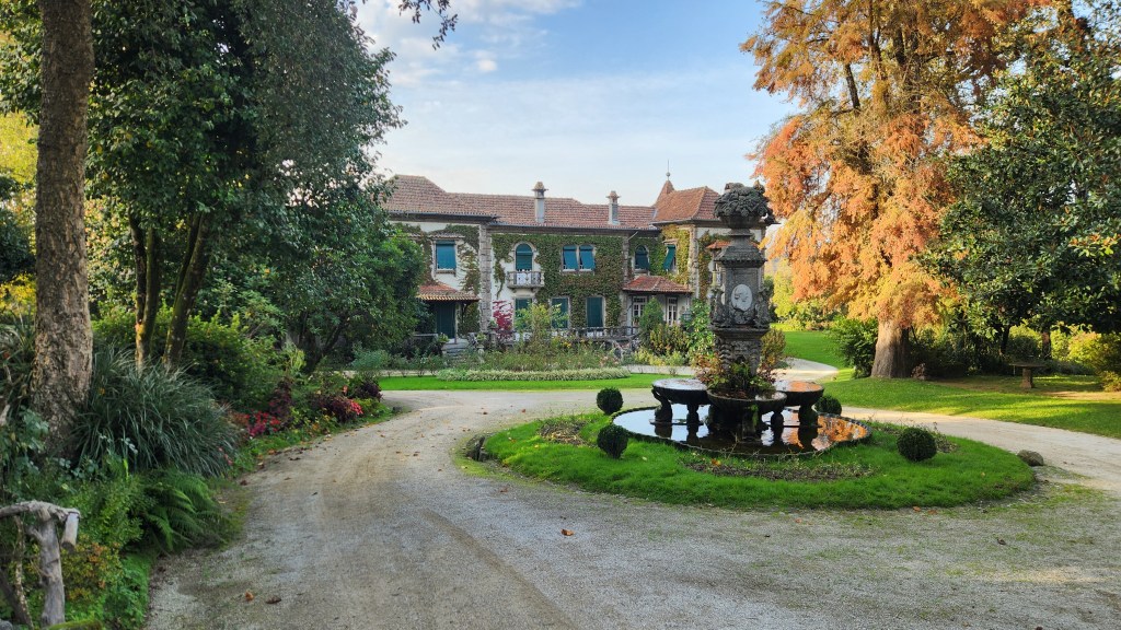
Quinta da Avaleda (November 18): After lunch aboard the Helgrim, we disembarked for our final shore excursion at 1:45 PM. We rode a tour bus with a small group of passengers to visit the beautiful winery of Quinta da Aveleda and its amazing garden.
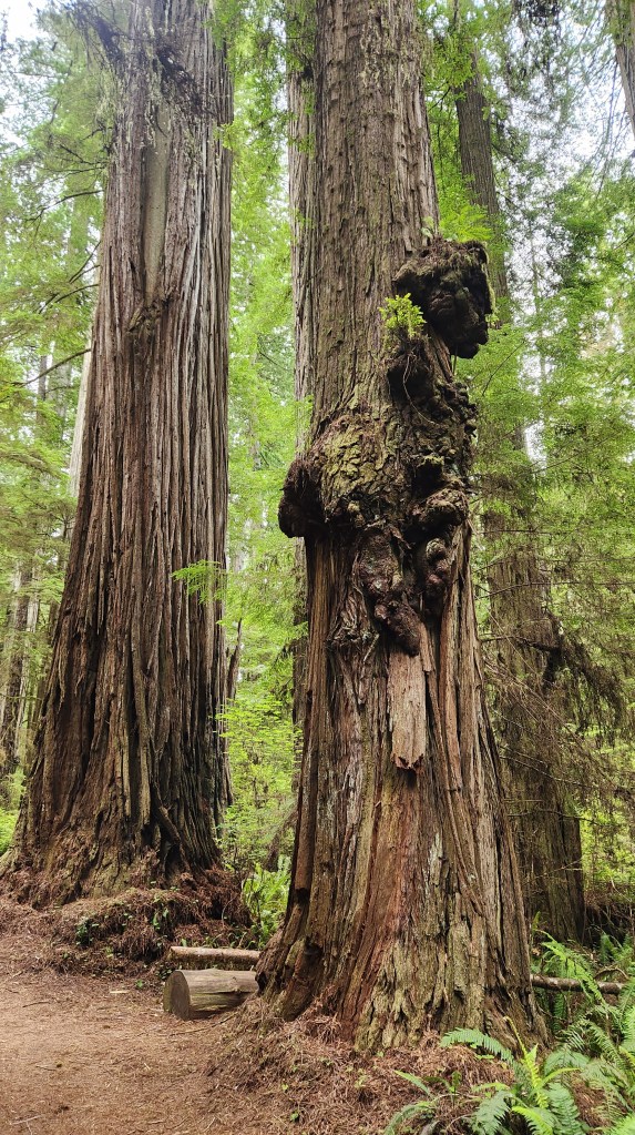
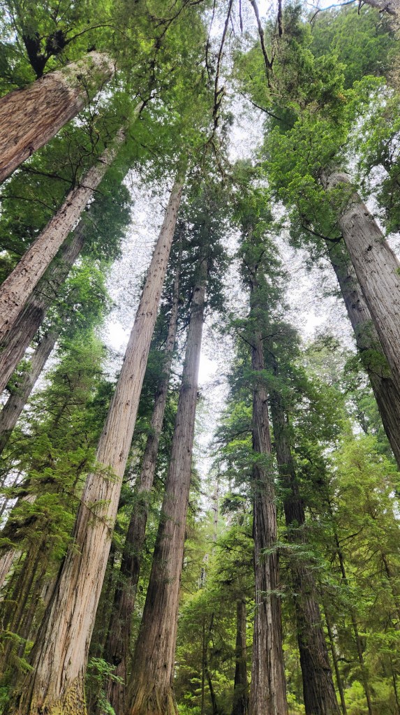
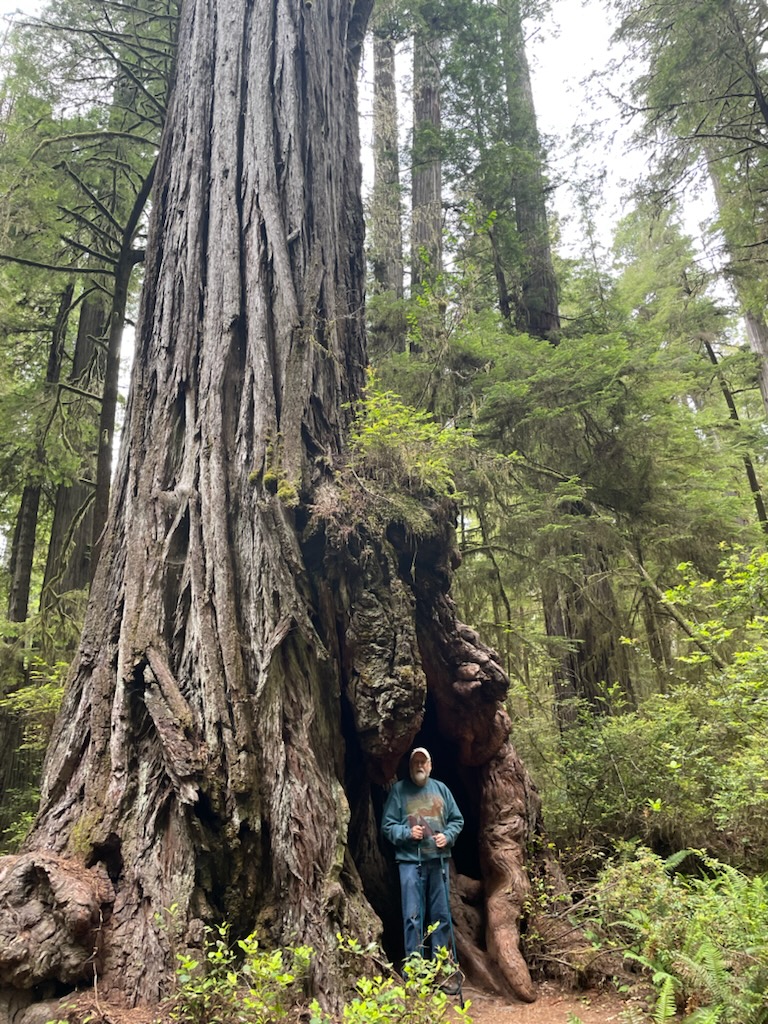
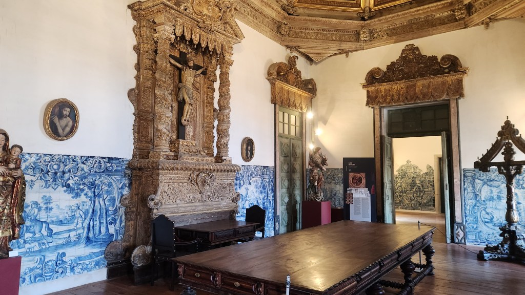
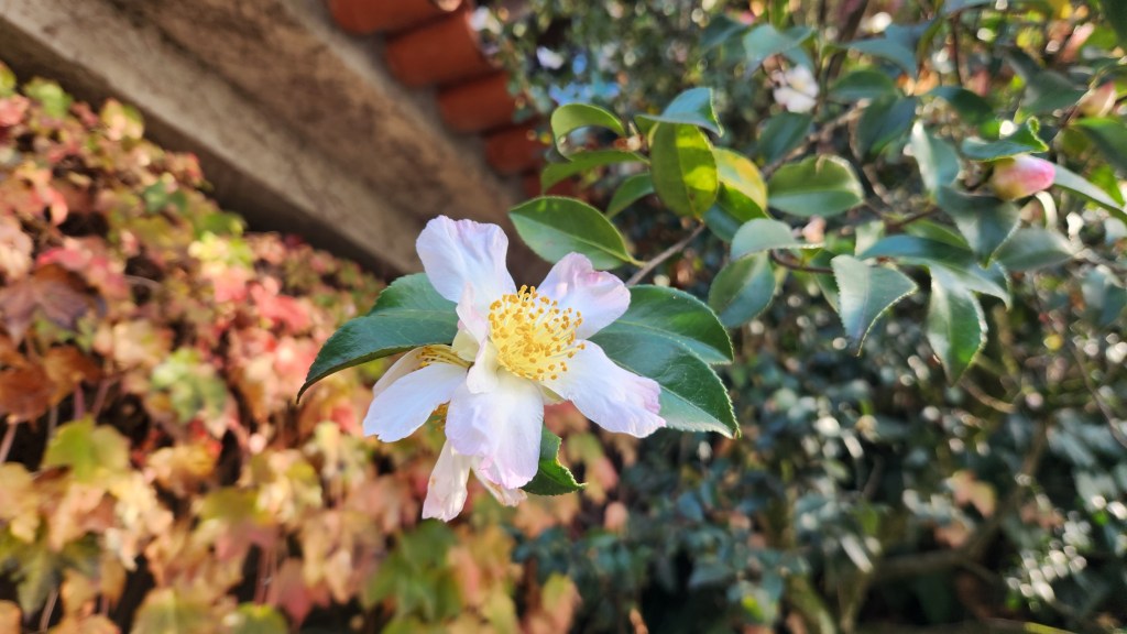
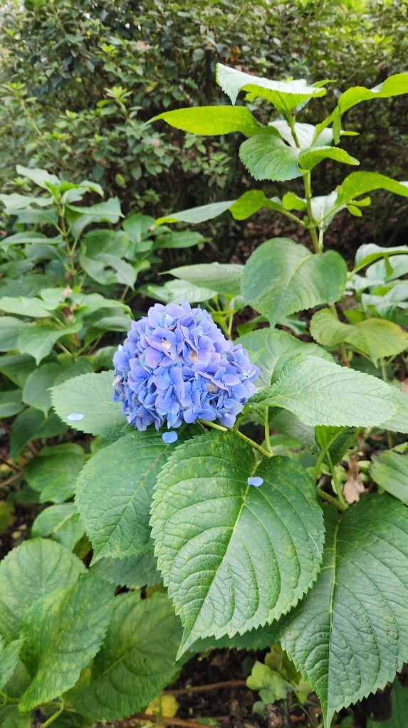
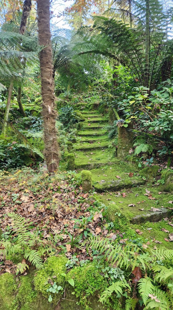
The main building was built in 1671 by a wealthy Portuguese family. Manoel Pedro de Guedes, an important Porto politician, inherited the property and established the estate in 1870, including the vineyards and the incredible garden. The Guedes family still owns the estate and uses the main house for family gatherings, but the estate is open for public tours and has become a highly popular tourist destination. After touring the garden, we sampled several wines produced under the Casal Garcia brand from grapes grown throughout Portugal, but the garden was the truly amazing aspect of the estate, including granite buildings, vineyards, a lake, a teahouse, fountains, gothic ruins, streams, oak trees, camelias, azaleas, eucalyptus, and sequoias. I’m sure readers are getting tired of my verbose descriptions, so I’ll just leave off with some of the photos I took.

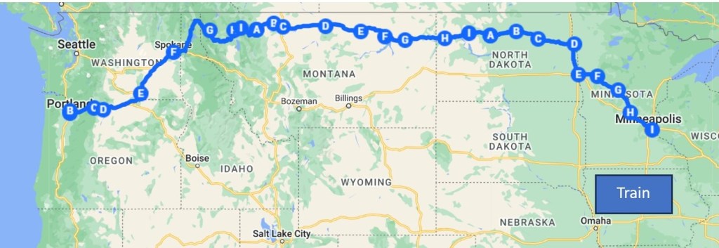
The trip home (November 19-20): Why did it take two days to get from Porto to Minneapolis? Well, we had a glitch, the one and only disappointment of the entire trip. We left the Helgrim at 3:30 AM on Tuesday the 19th, boarding our Viking bus and heading for the Porto airport to catch a 6 AM flight to Frankfurt, Germany, from where we were booked on an 11:15 AM Lufthansa flight to MSP. All went smoothly through boarding at Porto, but once all the passengers were on board and the doors closed, the pilot announced that our flight would be delayed due to a problem with one of the runways in Frankfurt. So, there we sat, for well over an hour, and by the time we finally took flight and arrived in Frankfurt, our MSP flight was long gone. After attempting to navigate some incredibly long lines at several Lufthansa service counters, we received emails explaining that we were now booked on the 11:15 flight the next day and that we were receiving vouchers for an overnight stay in a nearby Frankfurt hotel. Off we trudged to find the hotel shuttle bus, which deposited us at the Intercity Hotel at 12:22 PM. Unfortunately, our luggage was still in the baggage queue at Lufthansa, including our clothes and toiletries as well as my medications, so we had to go without. Luckily, Pat had a travel toothbrush, so at least Pat didn’t have to abide my schnitzel-tinged breath all night. Thankfully, the voucher did cover dinner and breakfast, but we had to pop for our own lunch.
The only upside to this glitch was that our Wednesday flight to MSP was only about two-thirds full, so we were able to spread out comfortably. I watched a couple of movies while Pat dozed across the aisle, and the flight was uneventful. Once at MSP, we had our first test of the Global Entry system that we enrolled in last spring. After landing, we each submitted a request using the Global Entry apps on our phones, receiving electronic receipts that allowed us to whisk through a special customs line in a matter of minutes – definitely worth the $100 fee, which is good for five years and also includes the TSA PreCheck system for boarding flights.
After another Lyft ride from MSP, we made it back to our condo at 5:01 PM on Wednesday, a mere 31 hours after leaving the Helgrim, rather tired but exceedingly pleased with our Intrepid Iberian Interlude. I hope readers have enjoyed the journey as well.
OK, that’s a wrap. Thanks for reading, and stay tuned for more adventures in the future!