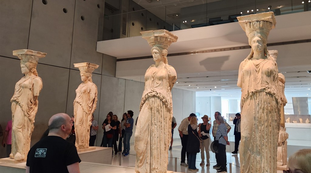
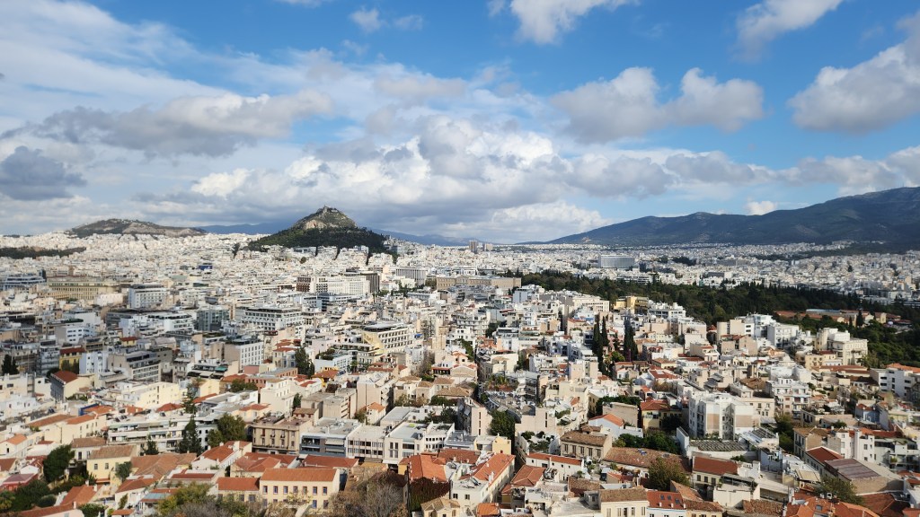
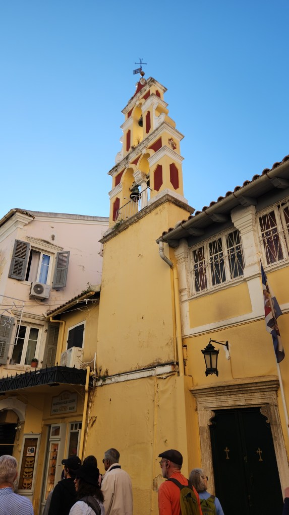
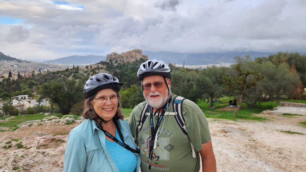
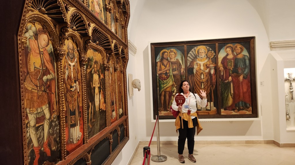
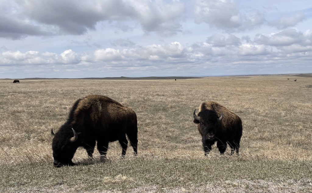
Part 1 of this travelogue covered our 6-week stay in Green Valley, AZ, which was essentially a repeat of last year’s Winter Warmup enlivened with a few new places we discovered this time around. While we very much enjoyed the warm weather and the relaxation associated with a long-term stay, we were eager to move on as we packed up the car on Friday, March 6, and headed westward. This installment covers several of the stops we made during our circuitous return to Minneapolis, all of which we’d done during previous road trips. (As Steely Dan put it back in the 1970’s, “You go back, Jack, do it again …,” although I’d say our repeat choices were much better than those of the unfortunate subject of that song.)
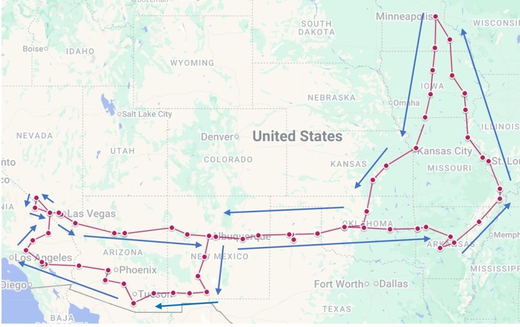
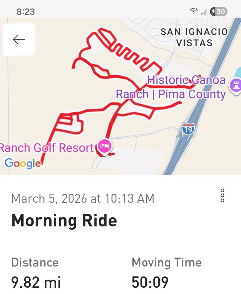
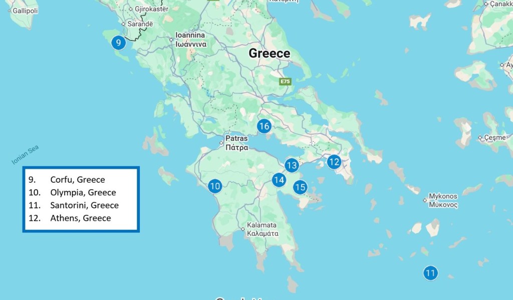
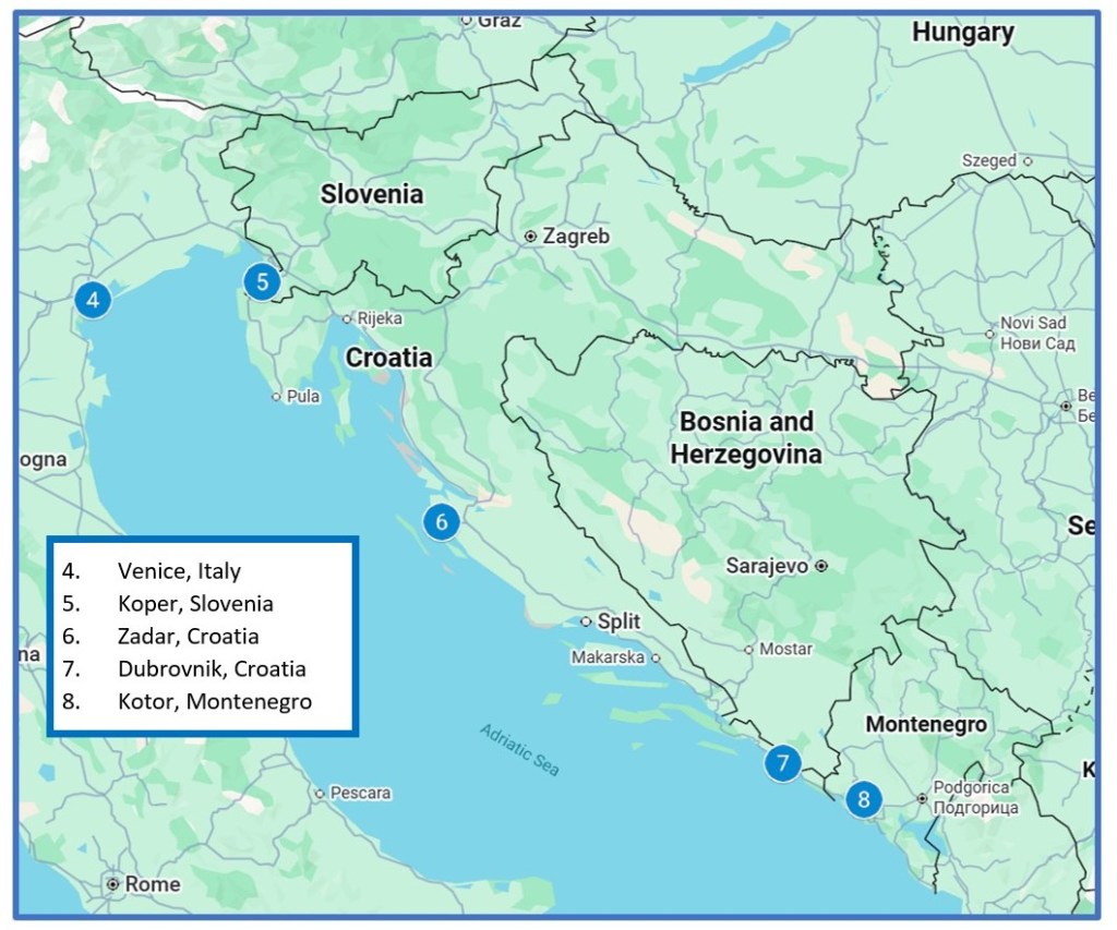
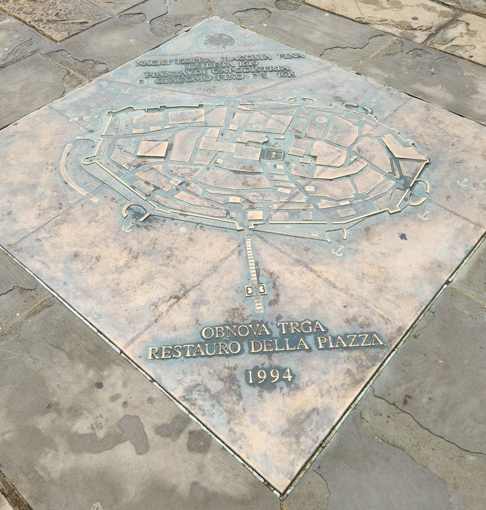
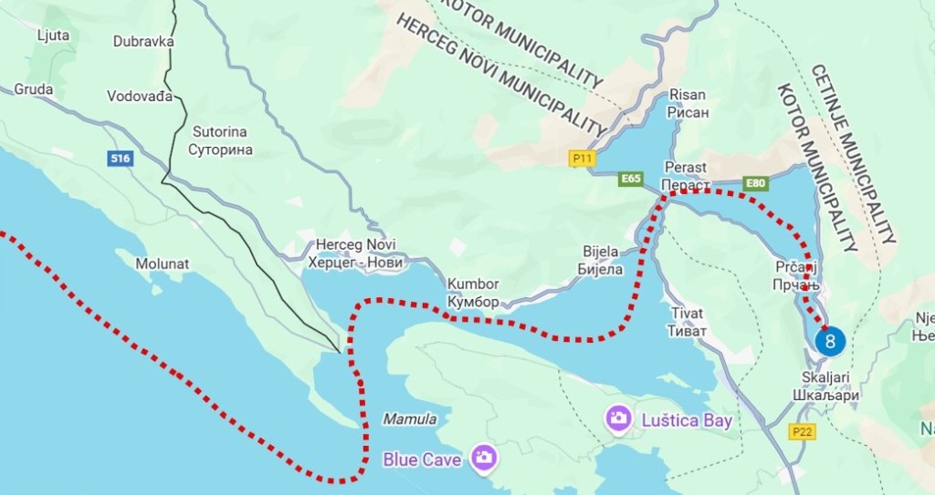
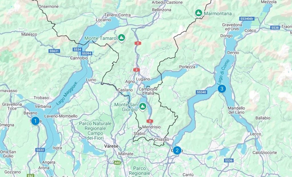
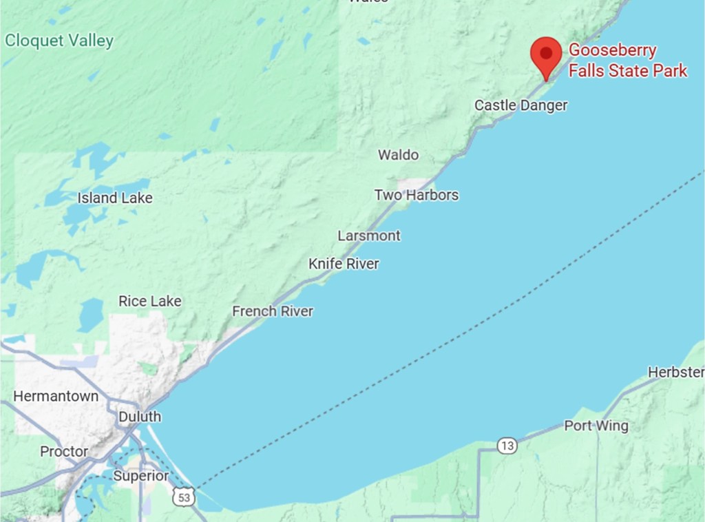
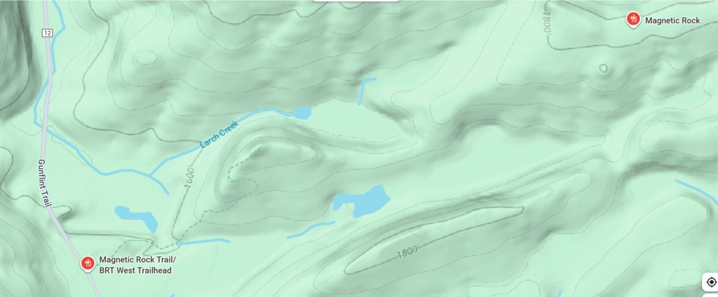
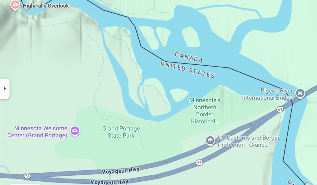
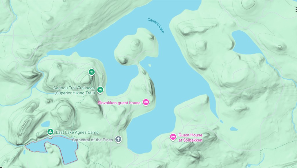
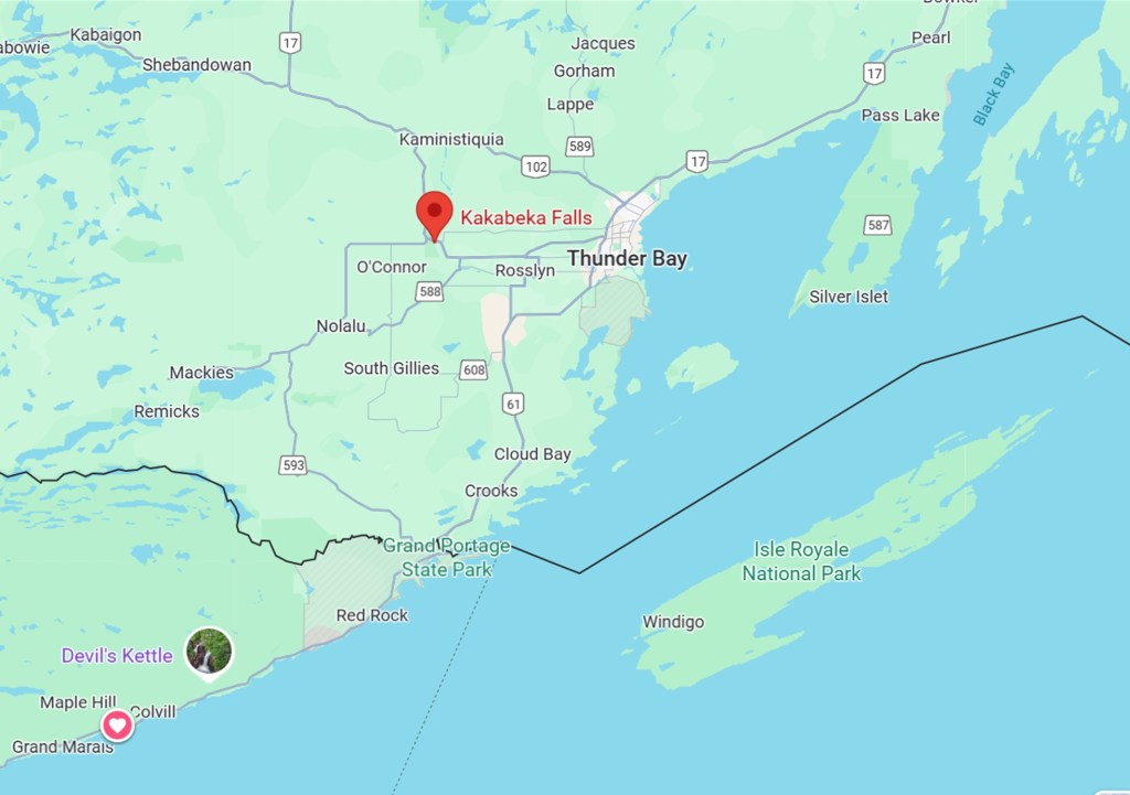
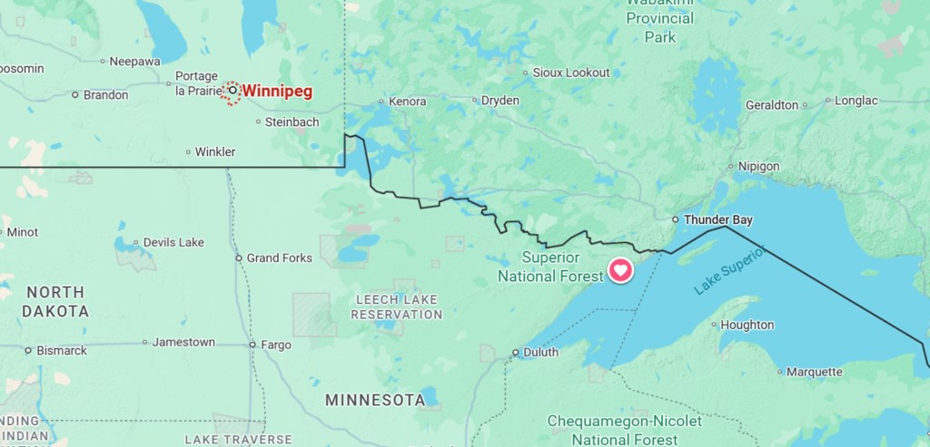
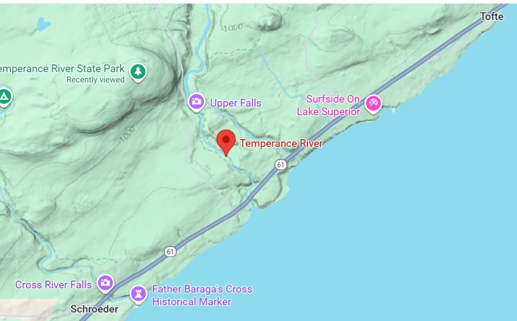
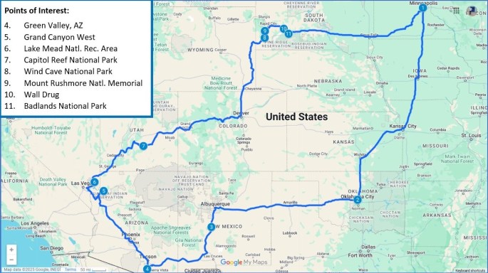
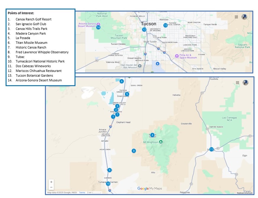
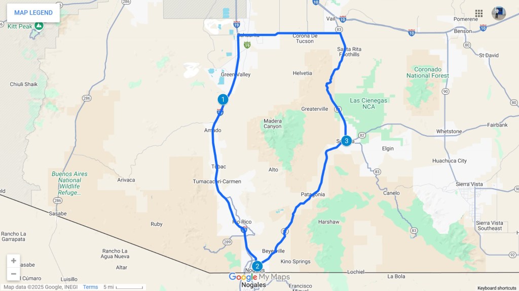
Here’s a map showing the interesting places we visited during the stretch from March 6 through March 16 followed by brief descriptions of those visits.
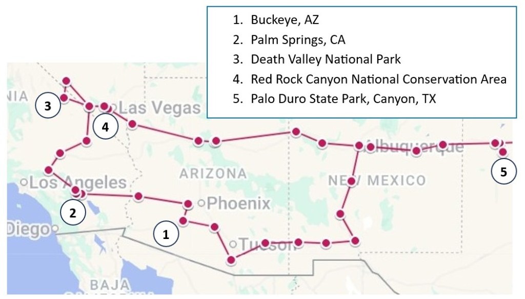
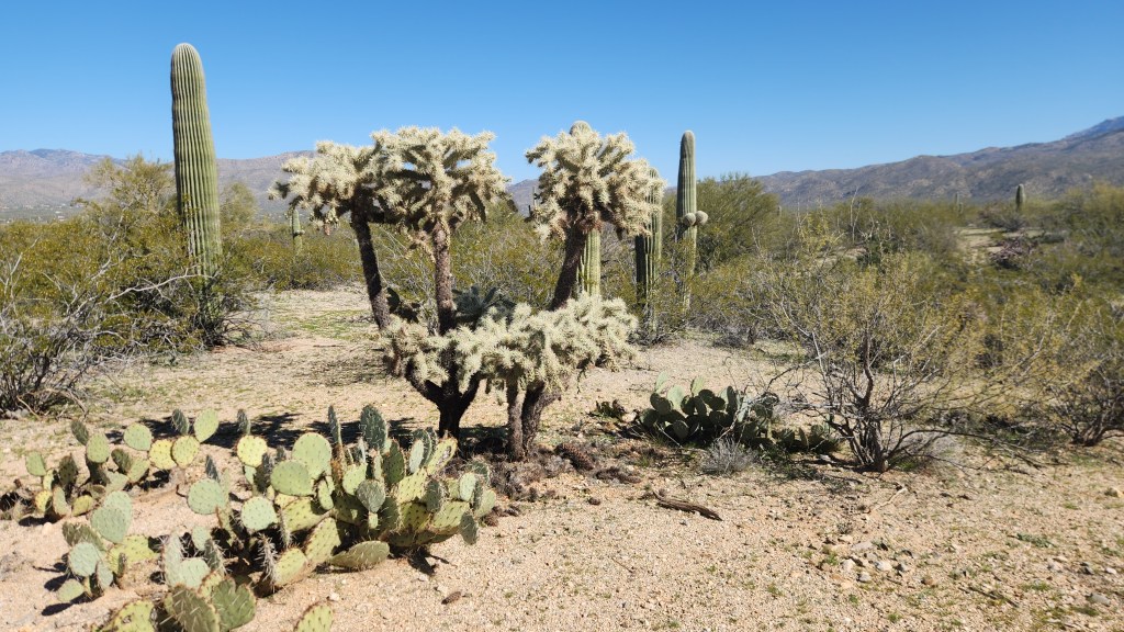
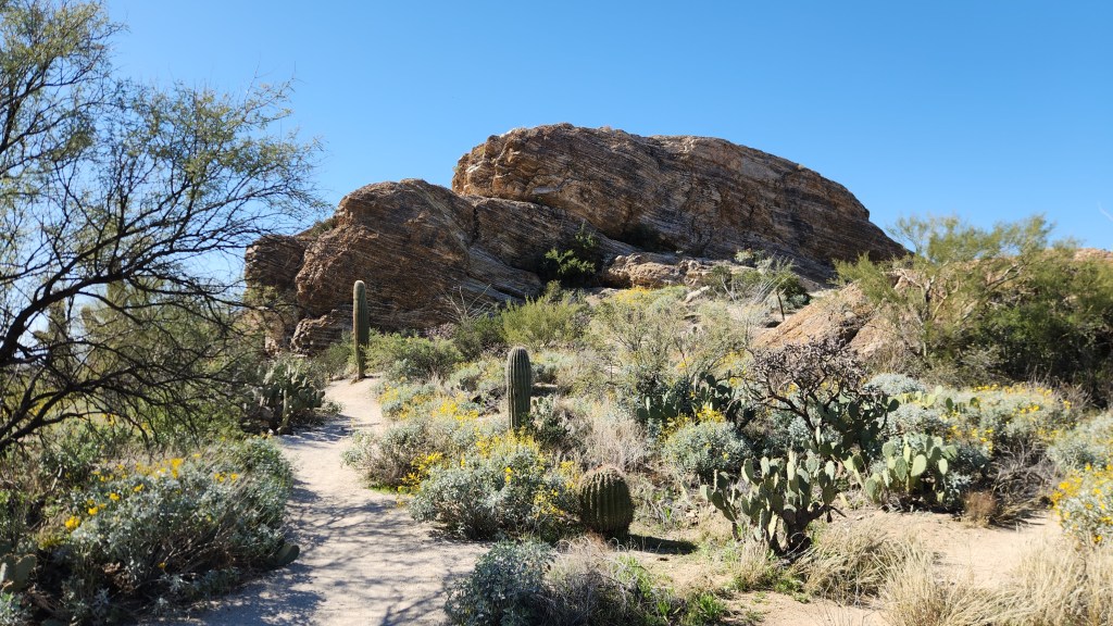
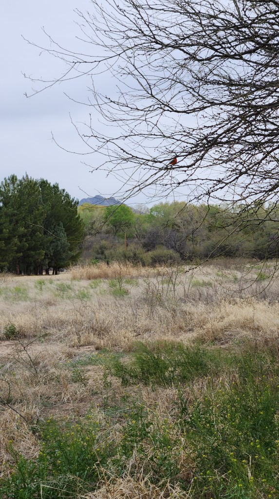
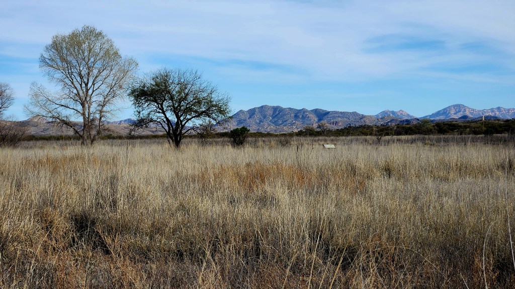
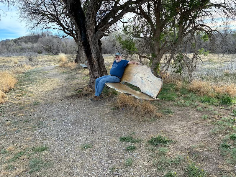
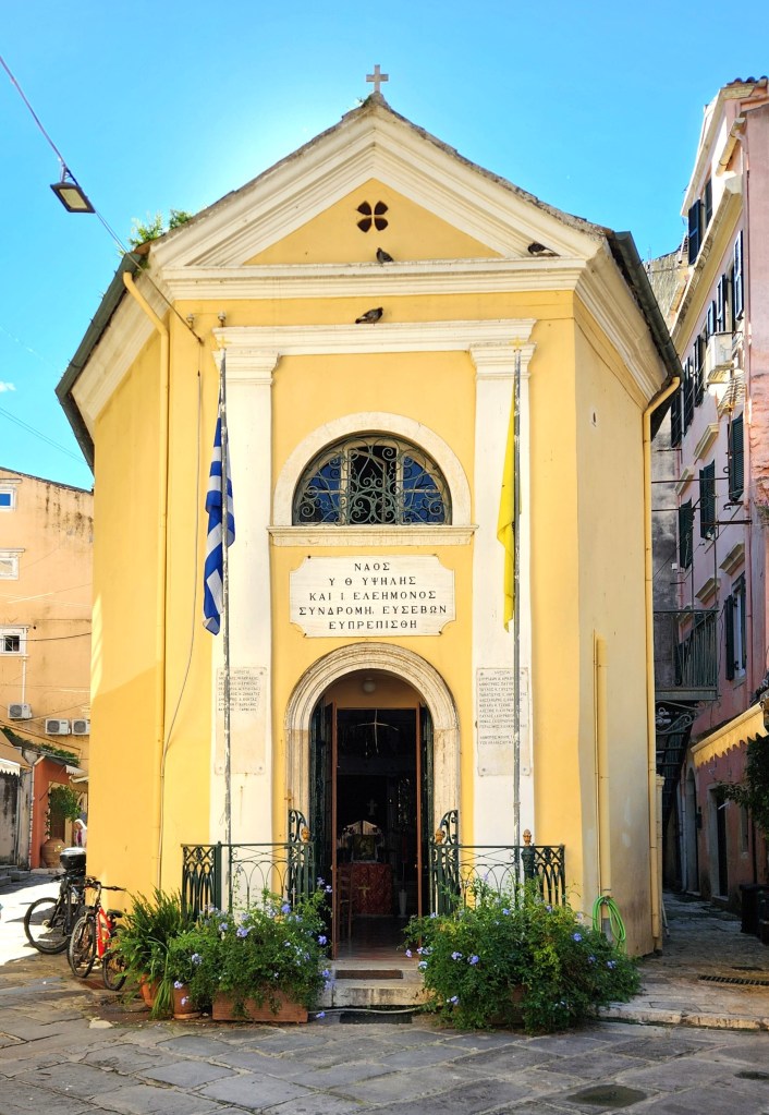
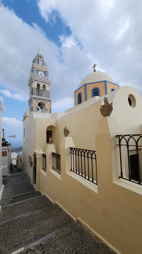
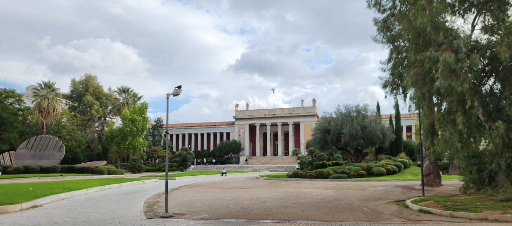
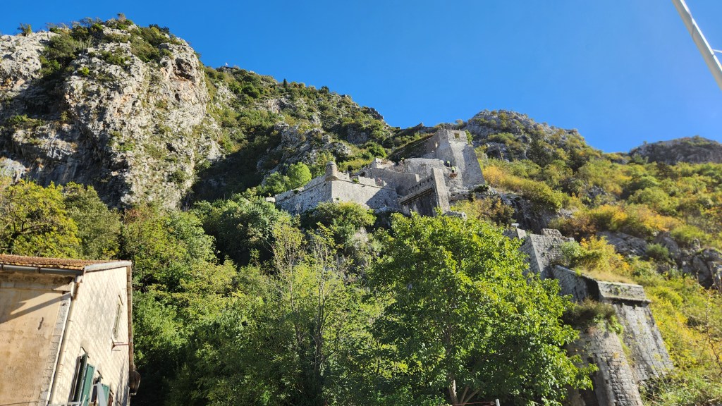
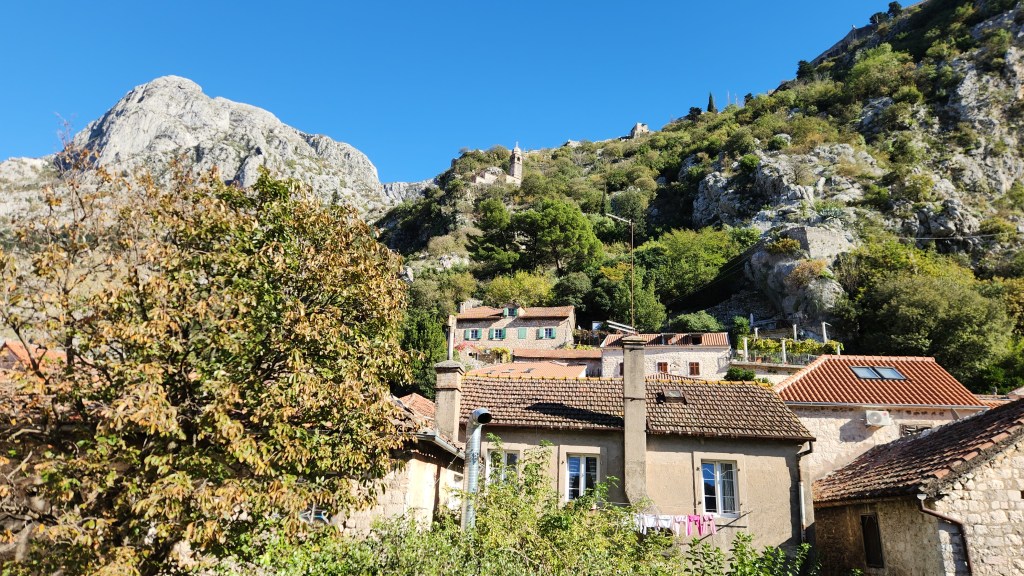
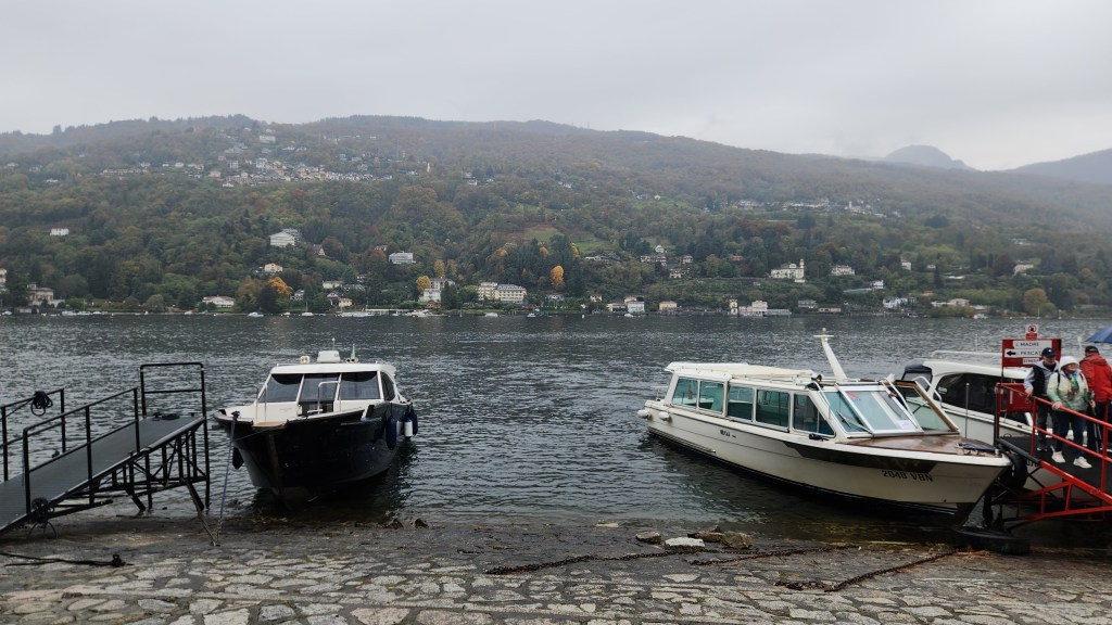
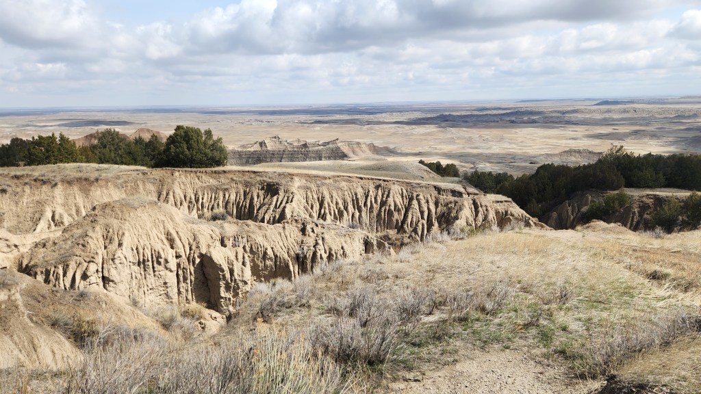
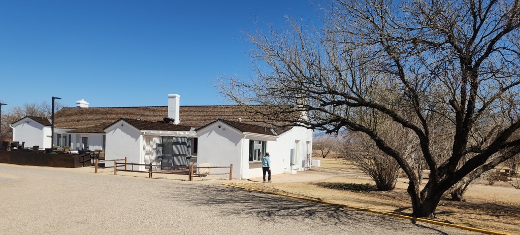
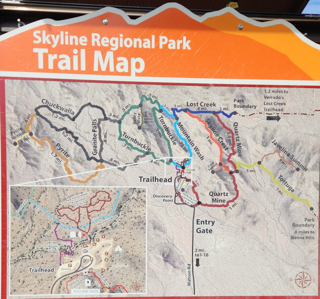
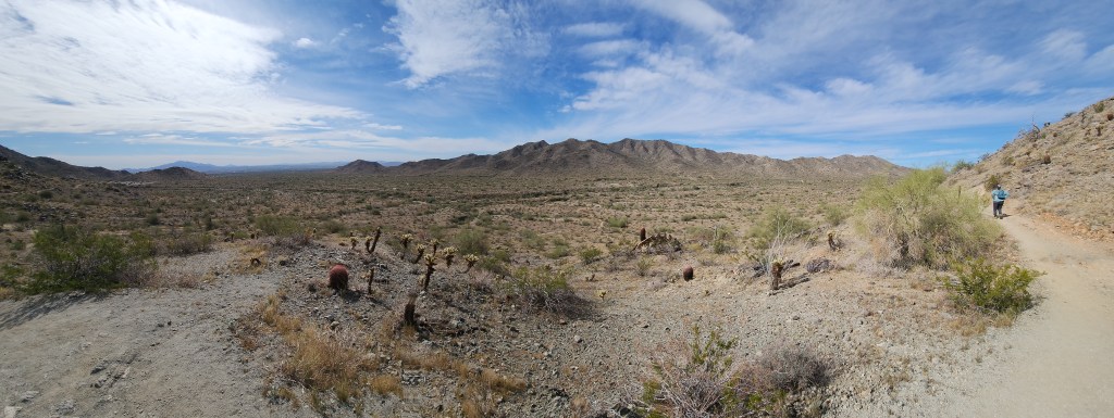
Buckeye, AZ: Since we’d allowed for three travel days to make the relatively short drive from Green Valley to our next booked destination in Palm Springs, we decided to stop for a couple of days in Buckeye along the way. This was based primarily on our great memories from Pat and Dave’s Excellent Adventure (Part 4) in 2018 as well as The Saaris’ (Sorta) Safe Sojourn (Part 8) in the Covid times of 2021. During both of those trips, we stayed at an RV park in Buckeye and went hiking at the Skyline Regional Park.
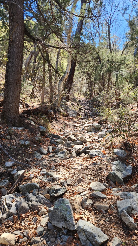
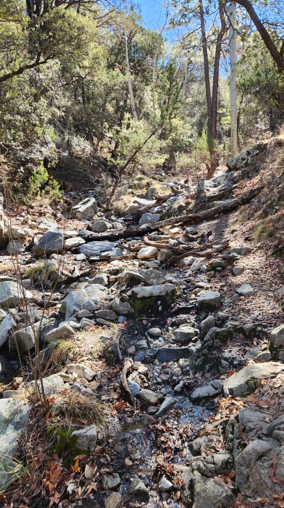
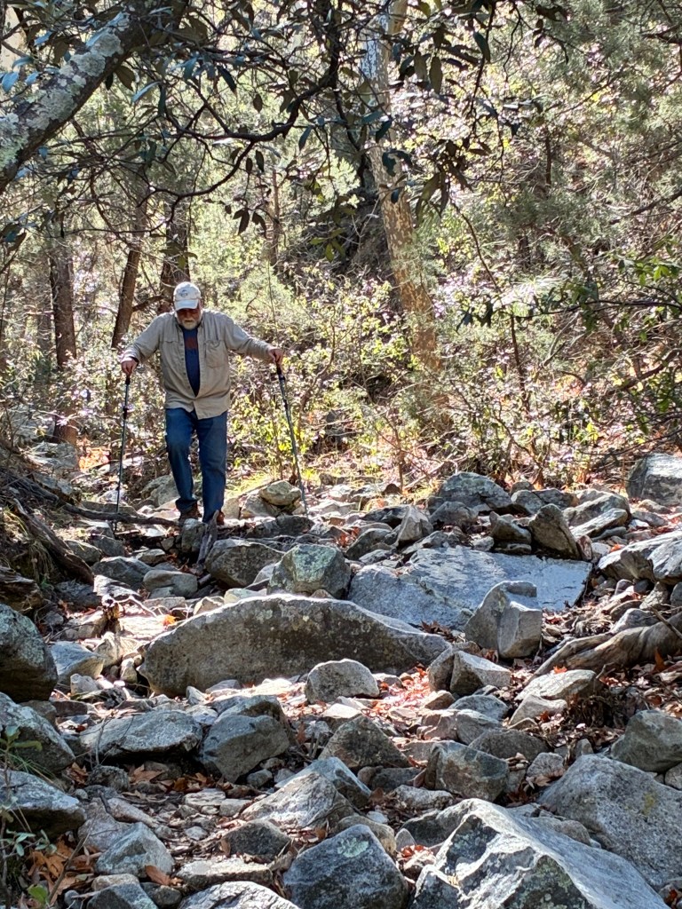
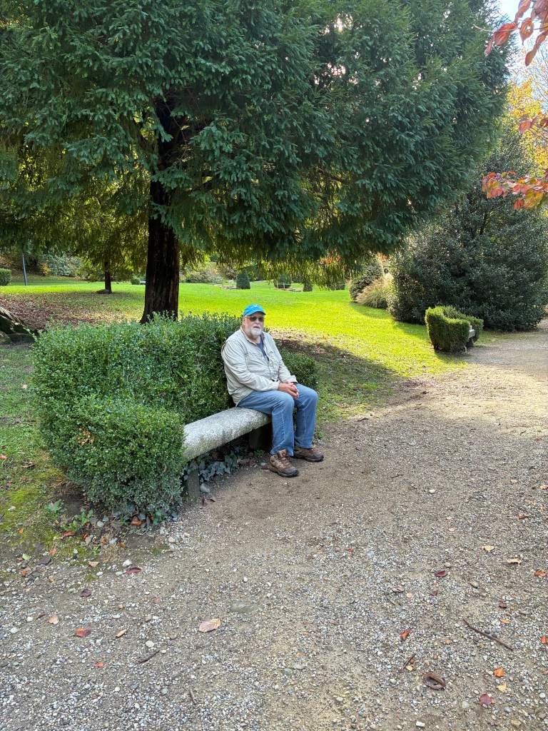
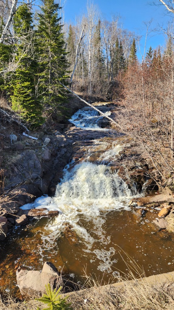
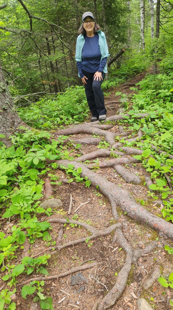
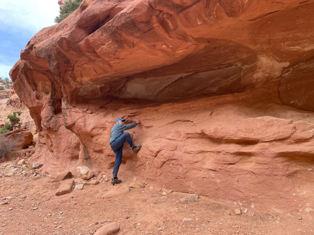
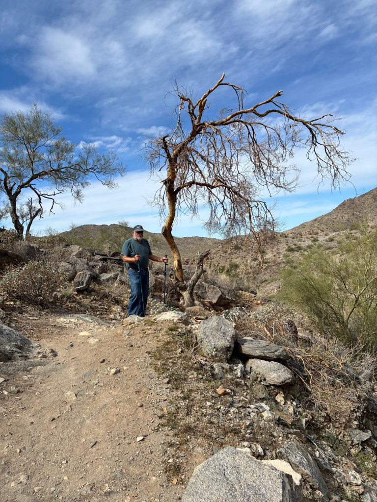
This time around, we stayed in a hotel, but on Saturday, we again hiked the Turnbuckle Trail at Skyline, a 3-mile loop which we also covered in 2018. The views were spectacular and the hike was demanding enough to get our hearts pumping, even though its difficulty was only rated as “Moderate.” While the intervening six years didn’t seem to have slowed me down too much on the uphill portions, I definitely needed my walking sticks to navigate the rocky portions on the final downhill leg.
Loyal readers may recall that on both of our previous visits to Buckeye, we dined at a terrific pizza place called Ciao Grazie, so naturally in the “do-it-again” spirit, we had to go there again after our Skyline hike. We had shown a tiny bit of independent spirit, however, on Friday night, when we dined at a nice Indian restaurant called Punjabi Dhaba that was quirkily located inside a large truck wash.
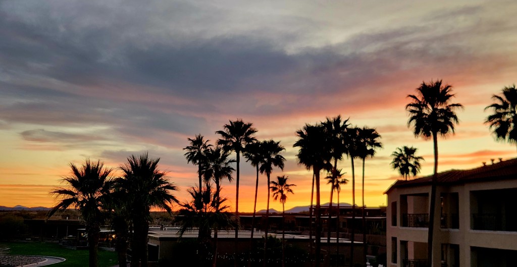
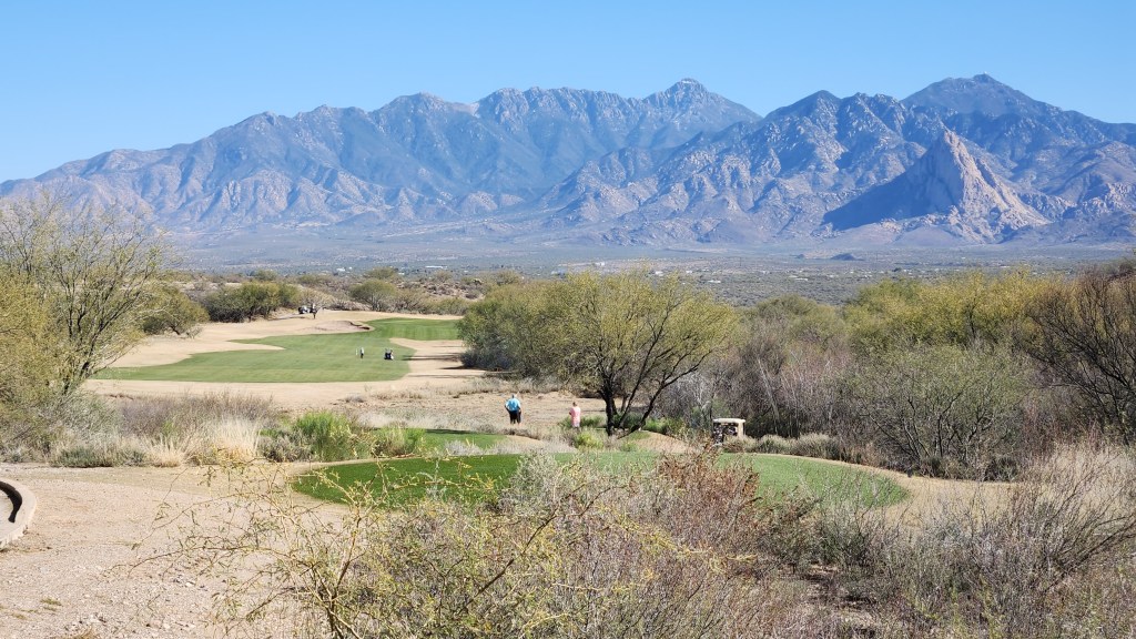
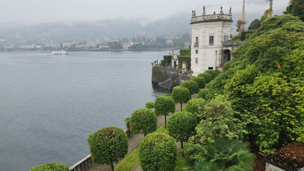
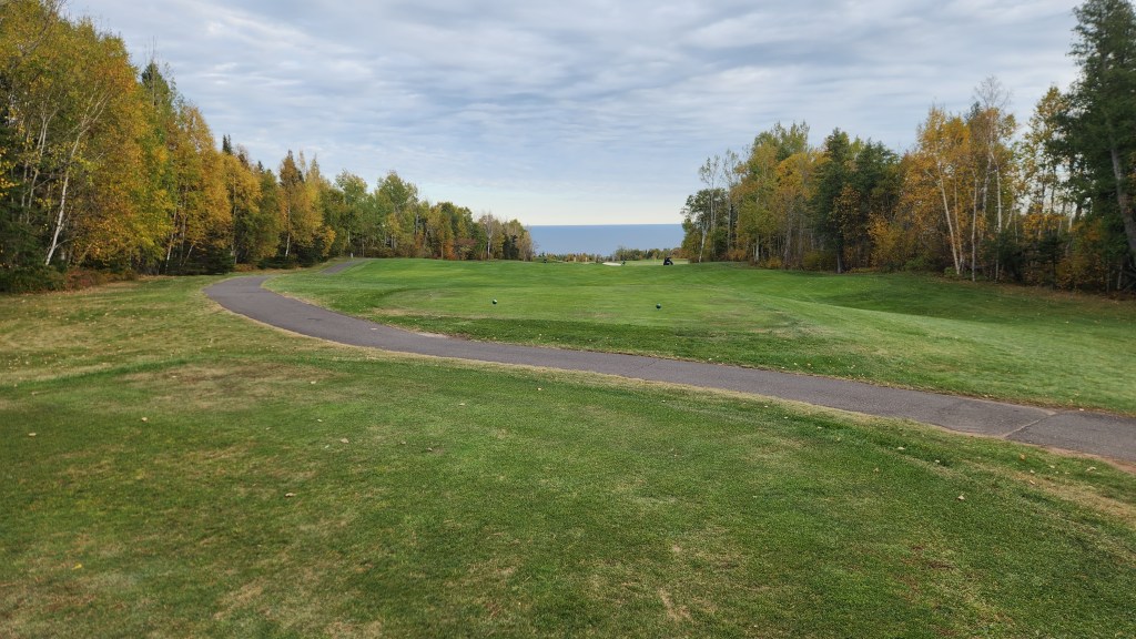
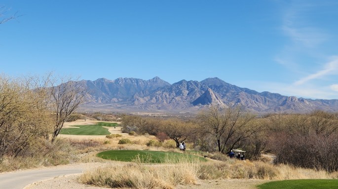
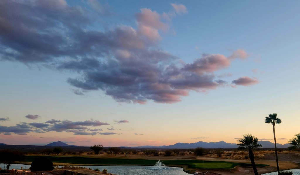
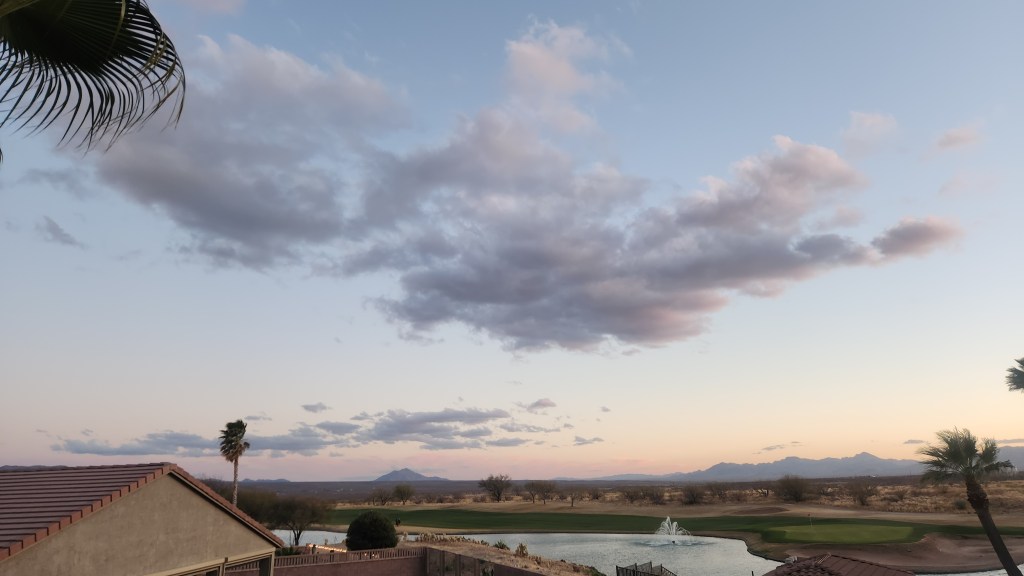
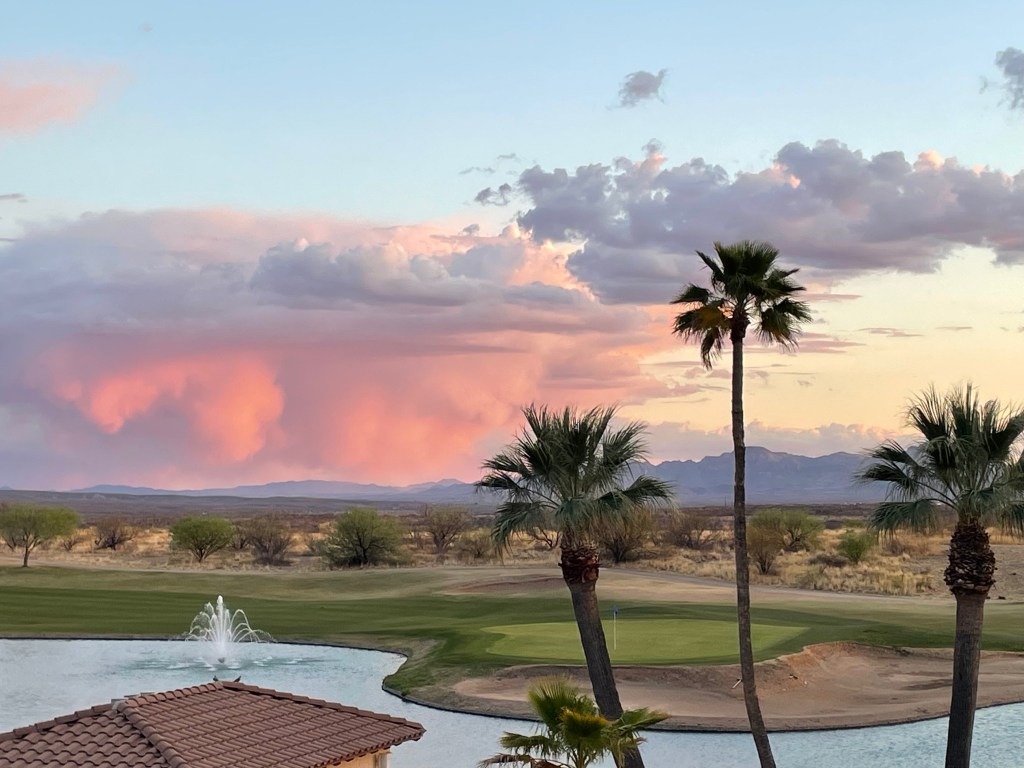
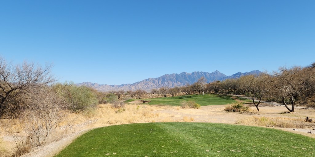
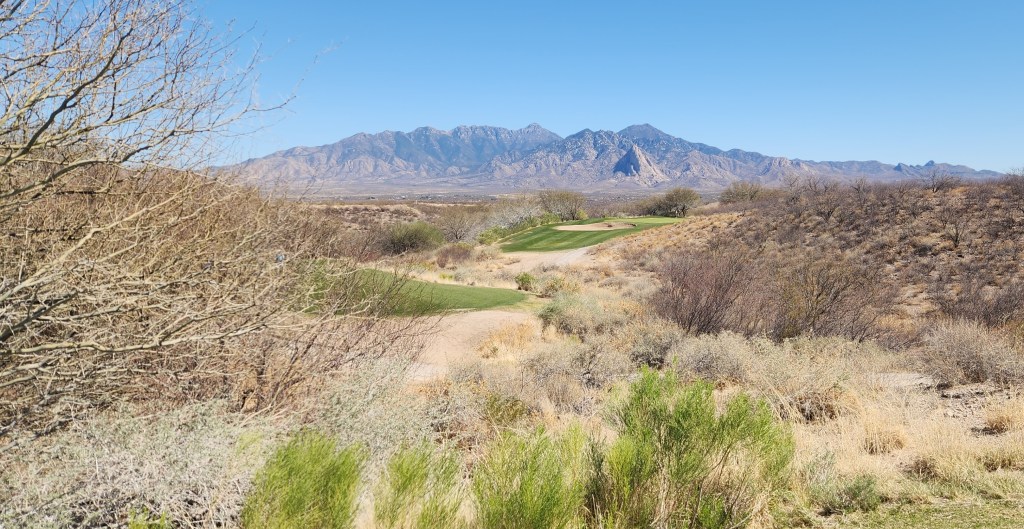
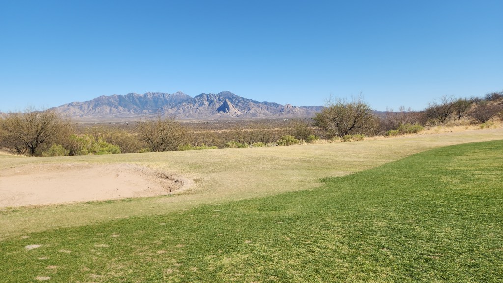
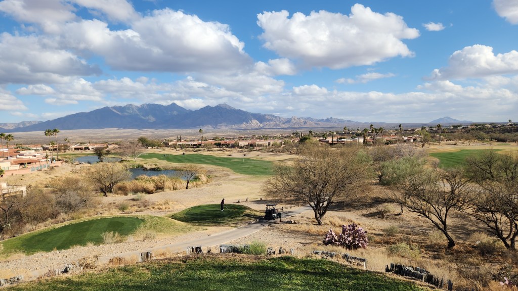
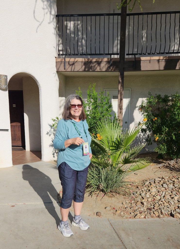
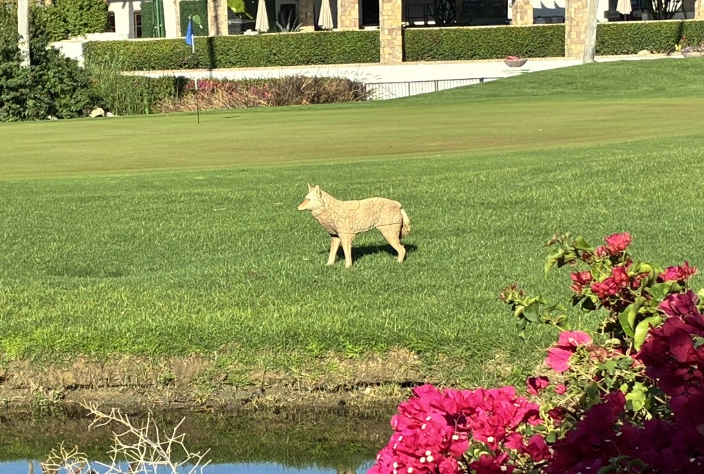
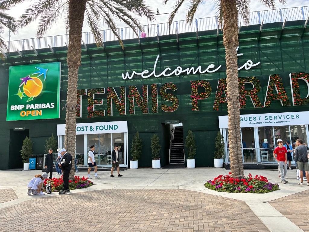
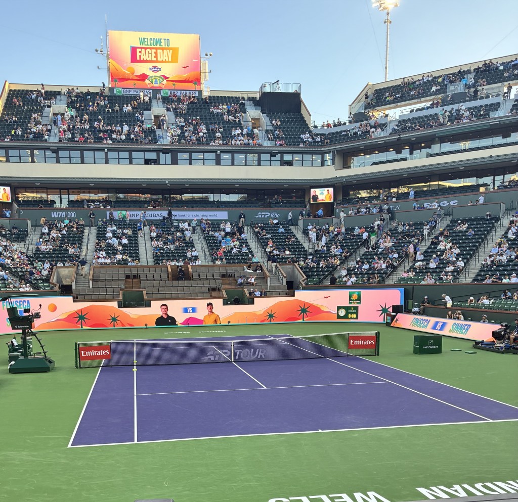
Palm Springs, CA: On Sunday, we drove to the Omni Rancho Las Palmas Resort and Spa near Palm Springs. I would call it the most upscale place we’ve ever stayed at in our lives – a sprawling place with multiple buildings, swimming pools, tennis courts, and a golf course – although our hotel room did show some signs of wear. The reason we had booked such an un-Saari-like place to stay was simple: Pat wanted to go see some matches at the BNP Paribas Open tennis tournament in Indian Wells, and I wanted to play some golf in the Palm Springs area. So, we decided to splurge on a tennis travel package offered through the official tournament site that included a 3-night stay at a fancy hotel, reserved seats for two all-day sessions at the tournament, and a shuttle service to take her to and from the tournament site.
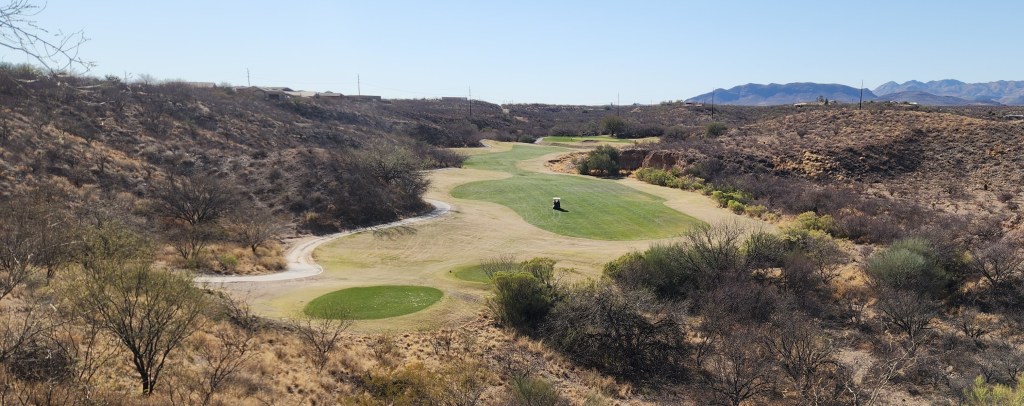
We both thoroughly enjoyed our separate activities. Pat saw a total of eight tennis matches on Monday and Tuesday during the middle rounds of the tournament, with top players including Jannik Sinner and Aryna Sabalenka, the eventual tournament winners, while I played golf at the Cathedral Canyon Golf Club on Monday and at the Rancho Las Palmas course on Tuesday.

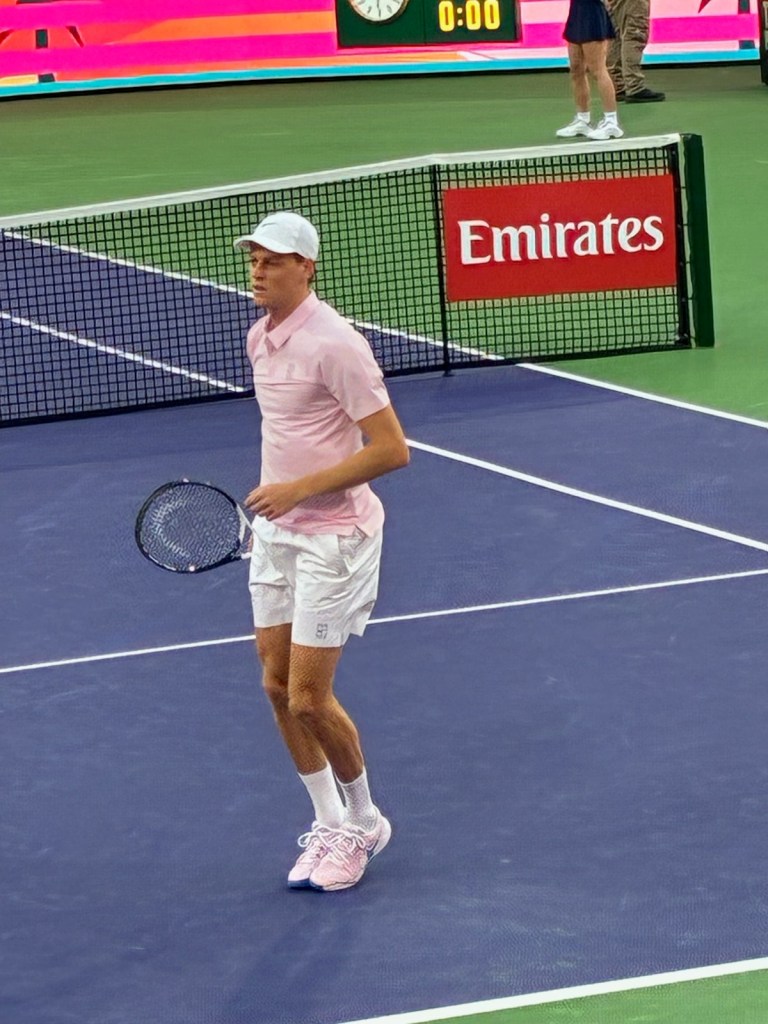
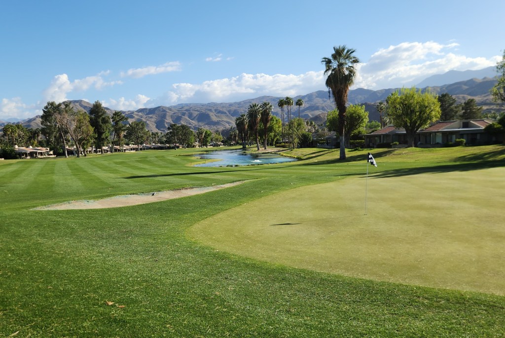
I should point out that these activities also were repeats of things we did during previous visits in 2019 and 2021, although the fancy hotel was quite an upgrade from our earlier stays in a nearby RV park. Also, I must add that while I chafed in the non-denim pants I brought along expressly to play at the pretentious Coachella Valley courses, I did try to salve my blue-collar sympathies by booking half-price greens fees through GolfNow and dining at McDonald’s on Tuesday evening.
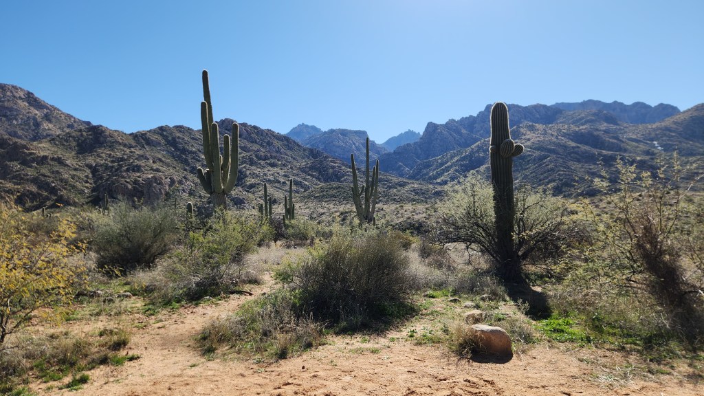
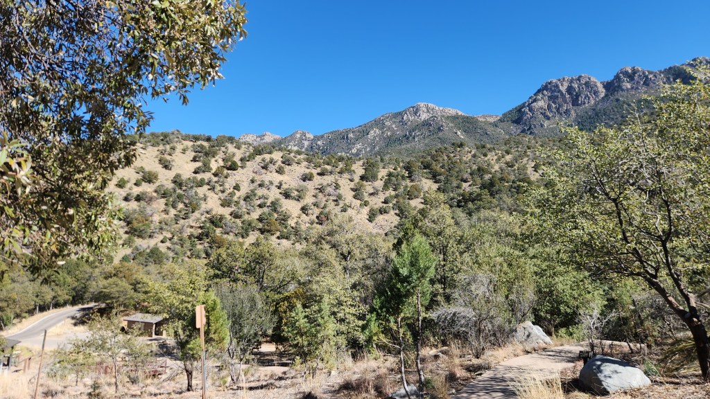
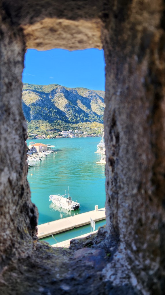
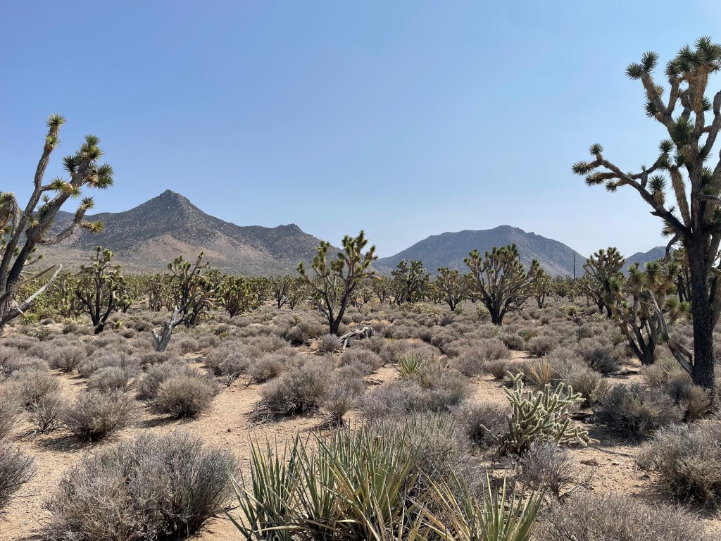
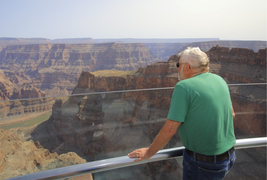
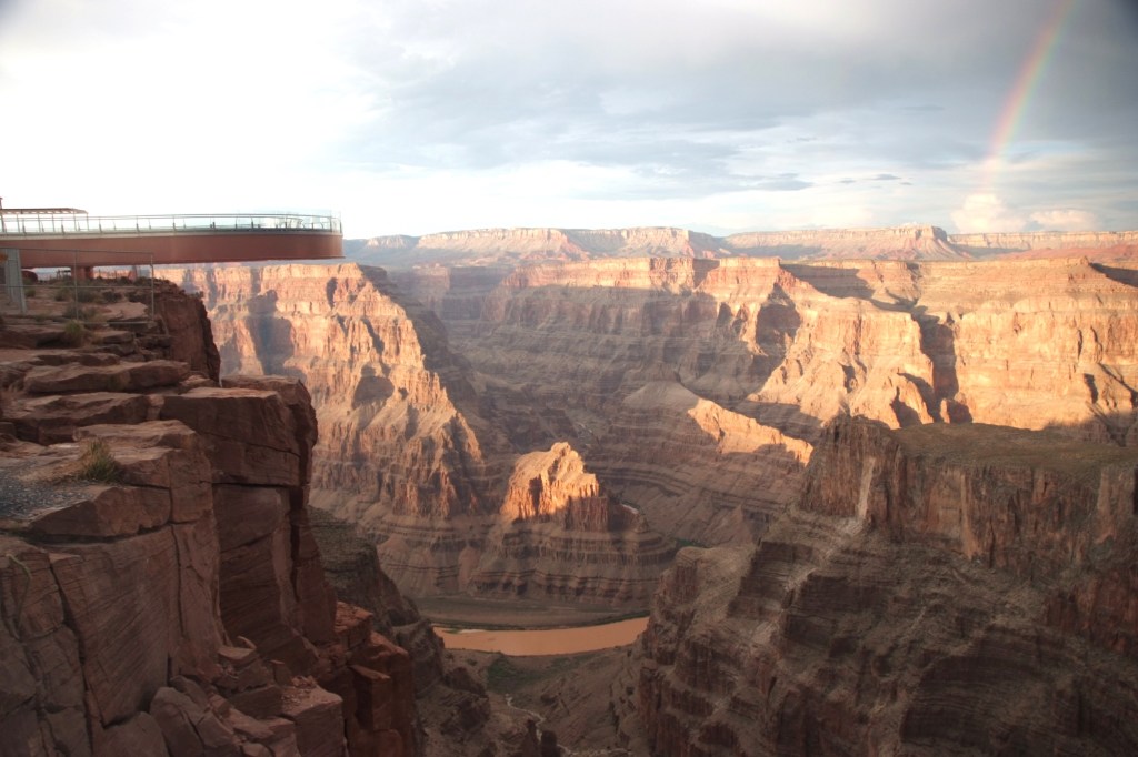
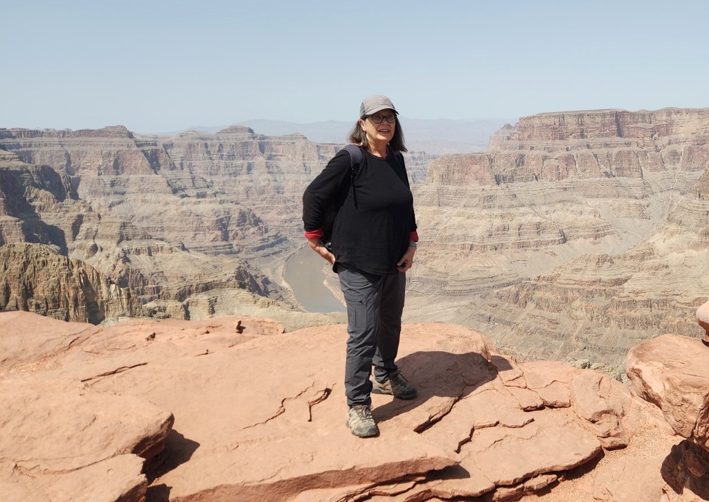
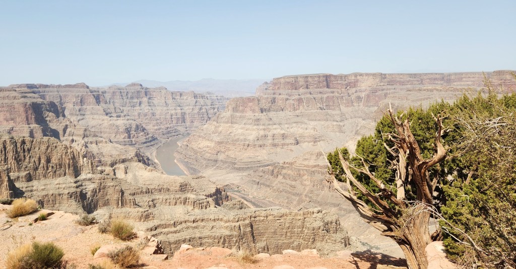
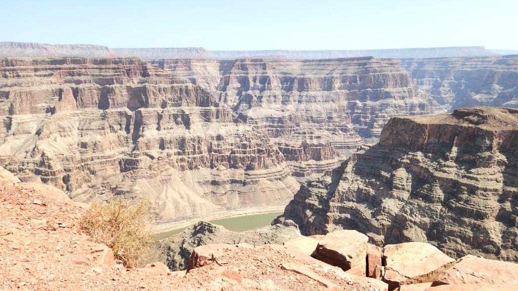
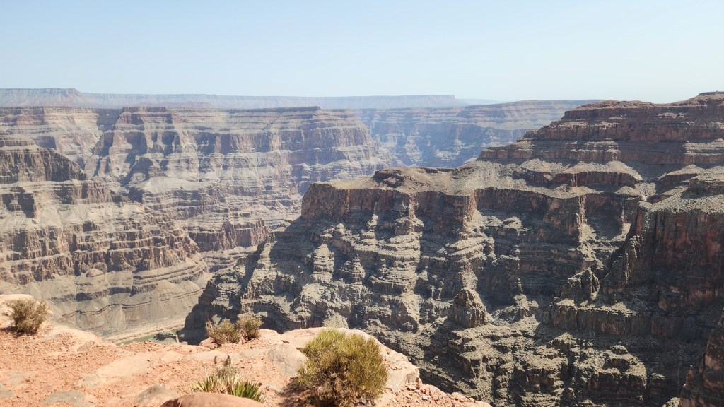
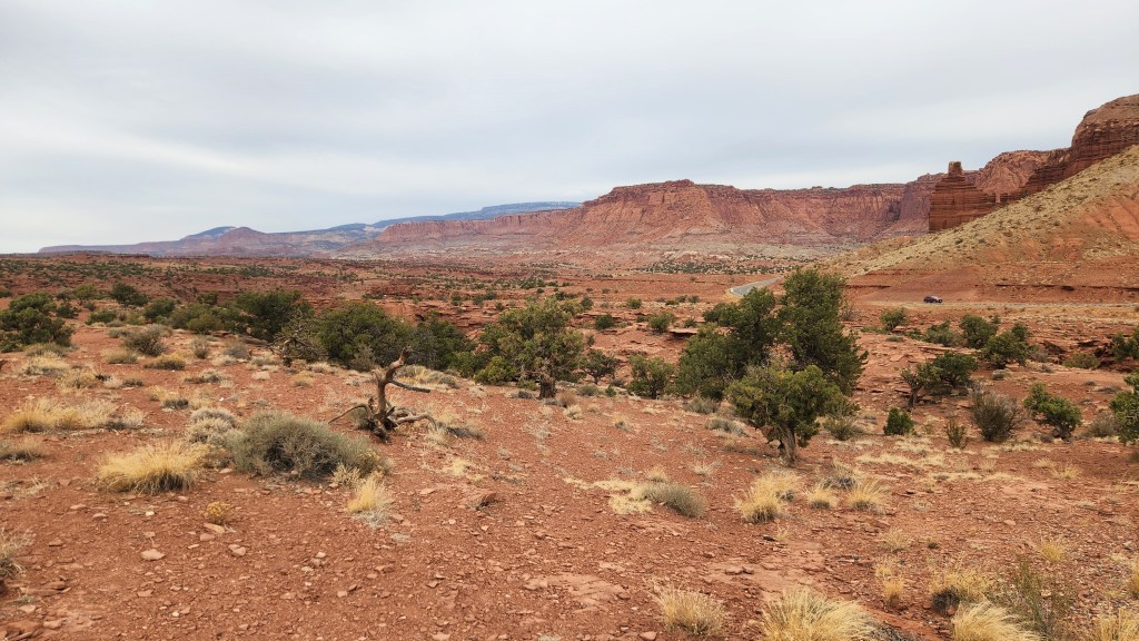
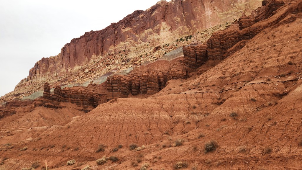
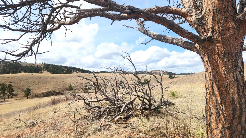
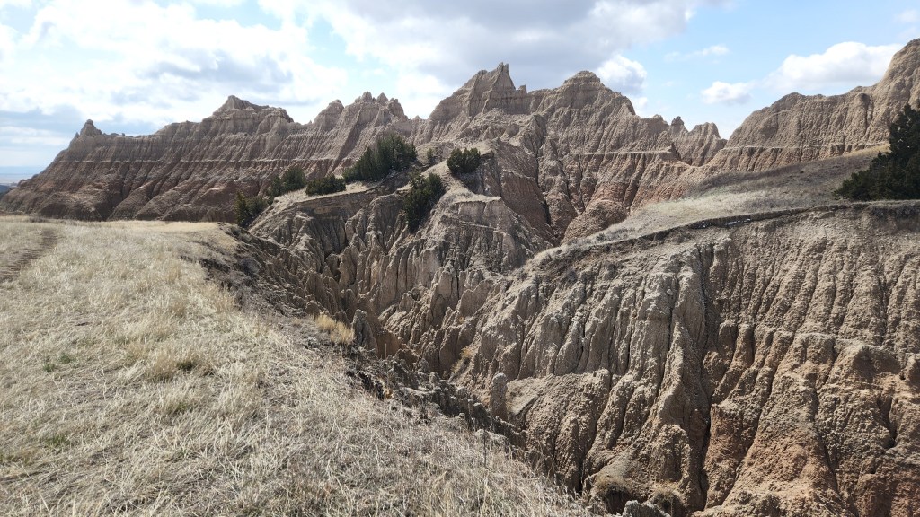
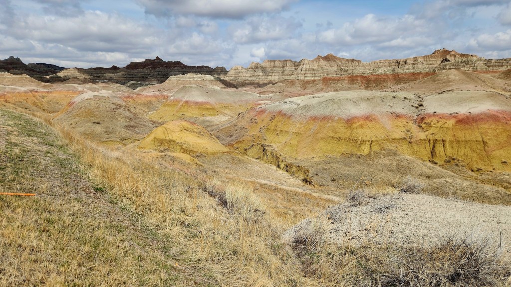
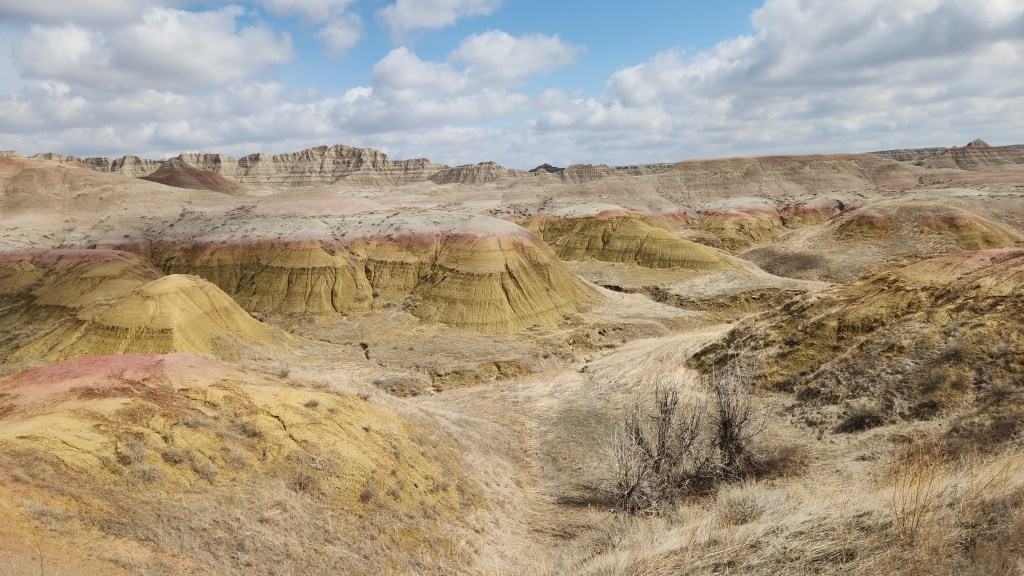
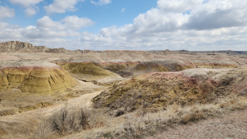
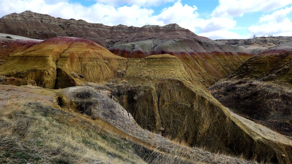
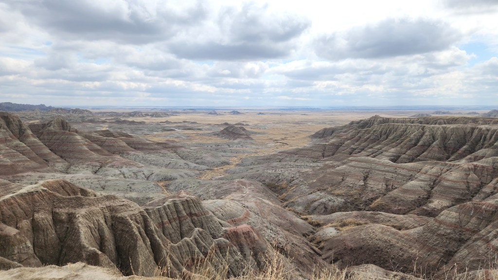
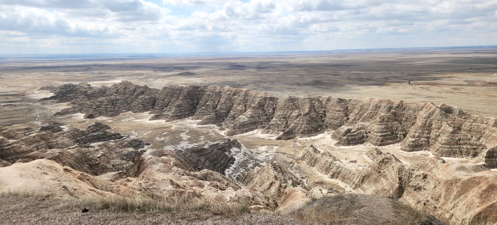
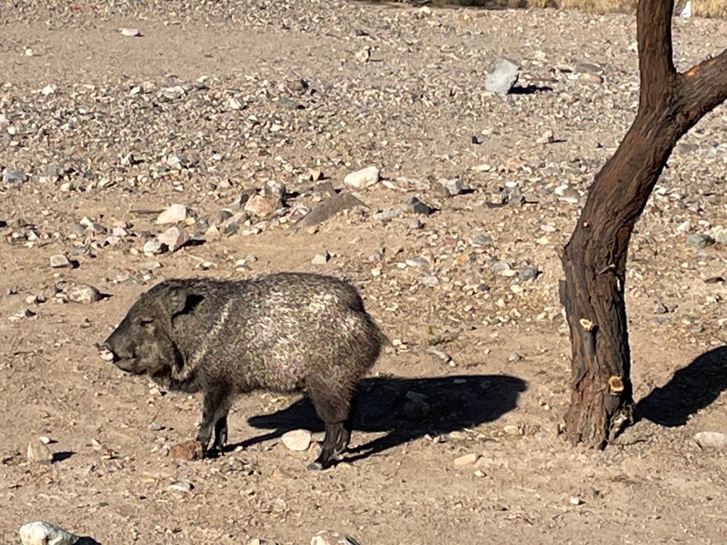
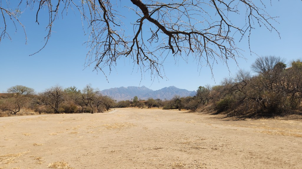
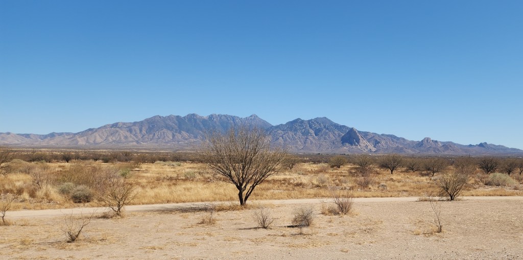
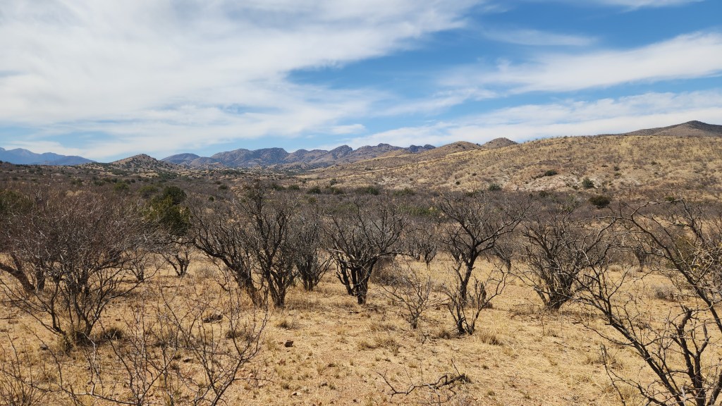
Death Valley National Park, CA: My original hope when we set off on this trip was that we could visit Yosemite National Park after the stay in Palm Springs, though we hadn’t booked anything as we wanted to see how things developed with weather conditions. That would have been something new for us, a real departure from the redundant aspects of the trip. However, as our stay in Green Valley was ending, the reports we saw online indicated that much of the park was still inaccessible due to snow. As a result, we shifted our sights to Death Valley, another familiar site from our earlier RV trips that we knew would be warm and snowless. As a result, we reserved a 2-night stay in Pahrump, NV, yet another place where we had stayed on our previous trips, and drove there on Wednesday.
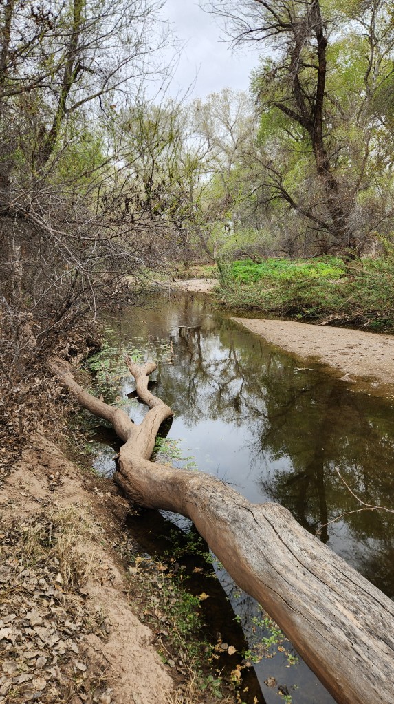
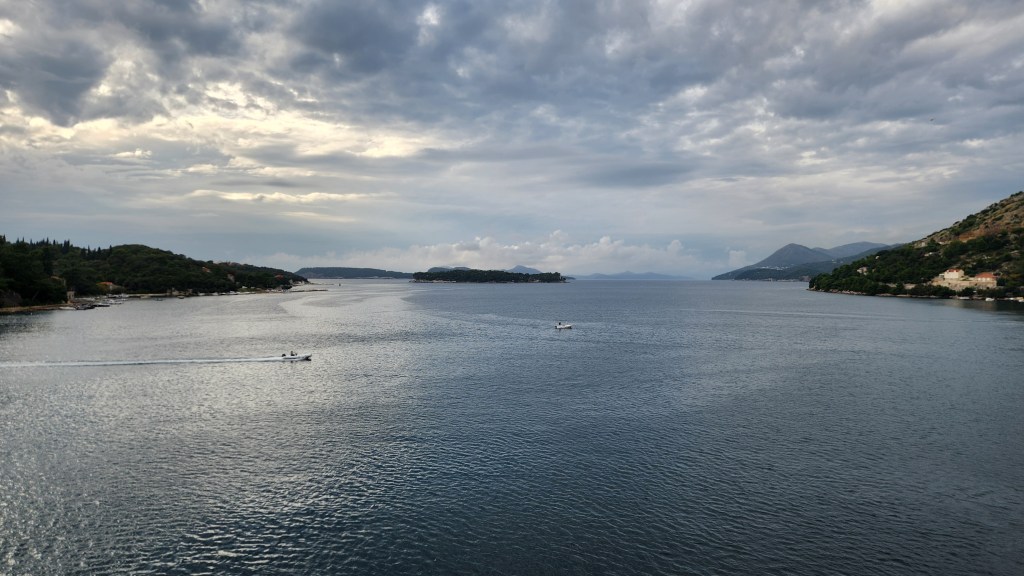
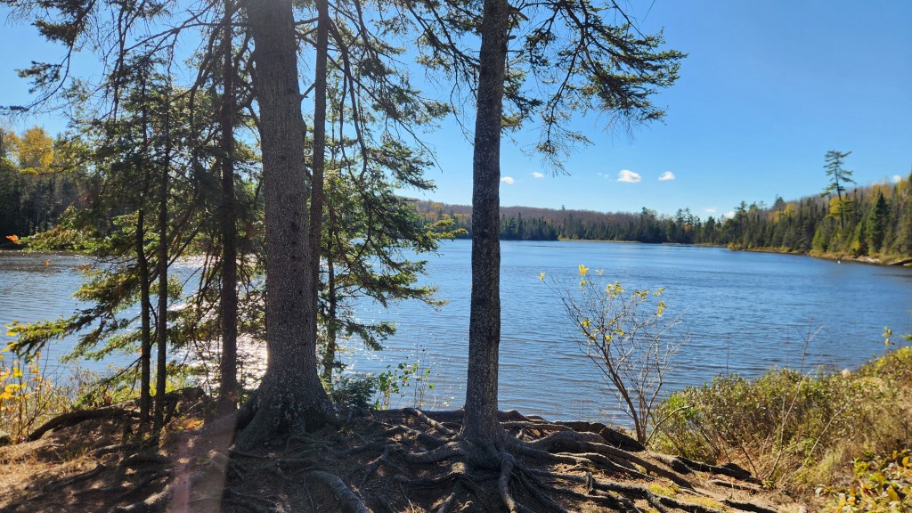
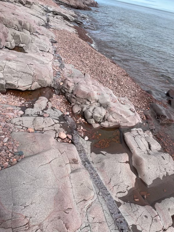
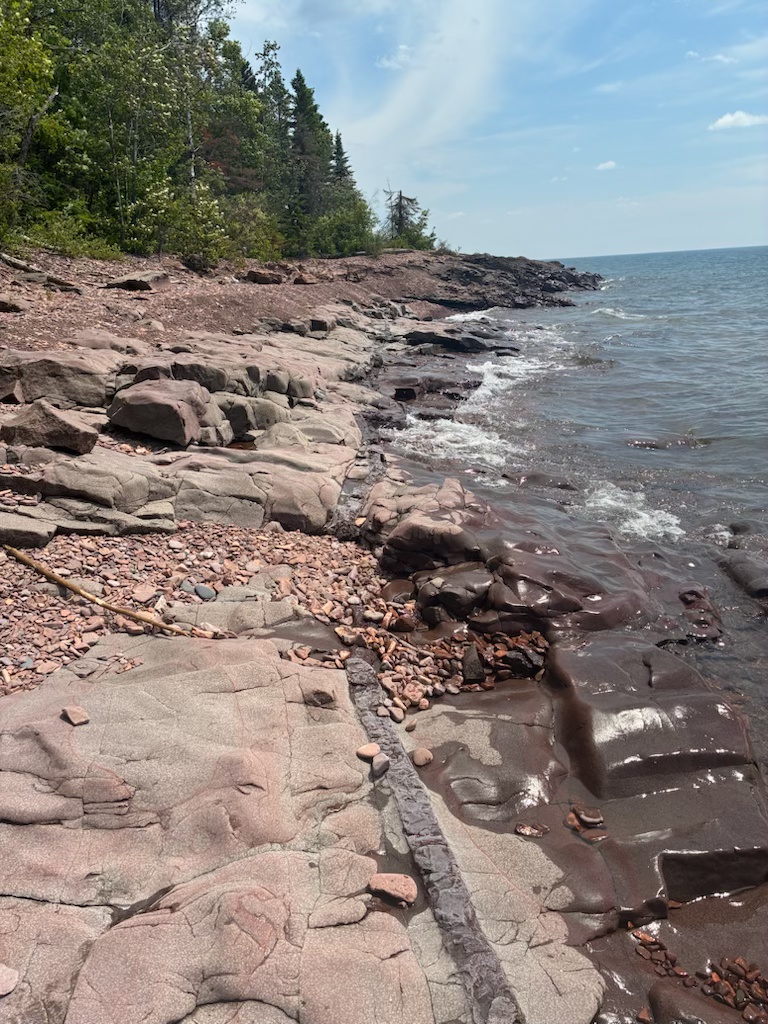
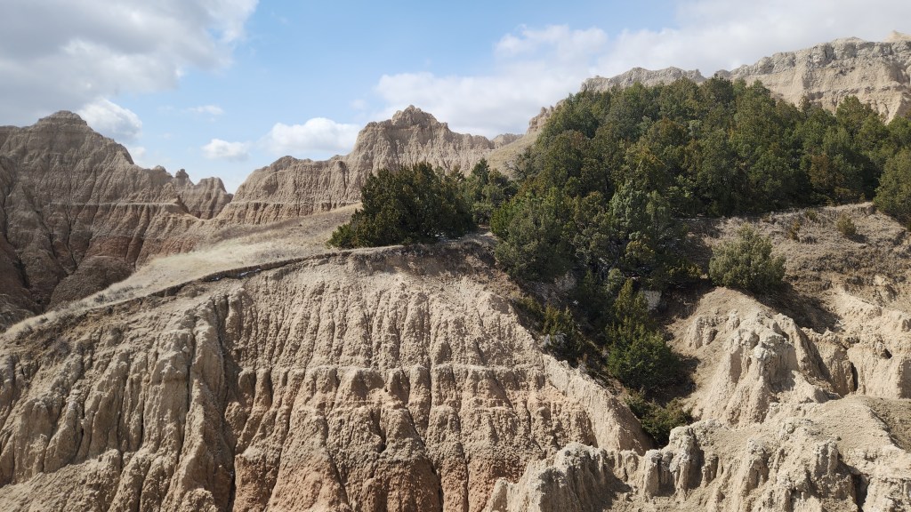
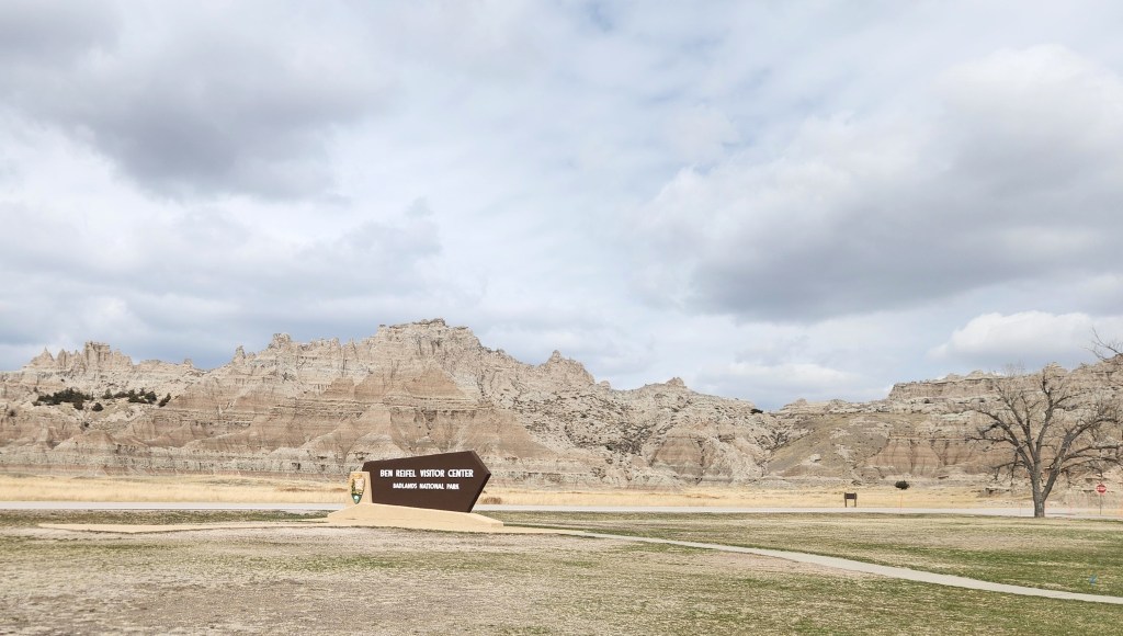
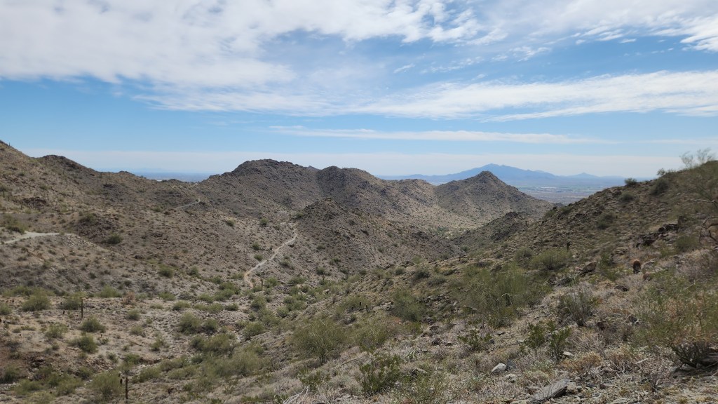
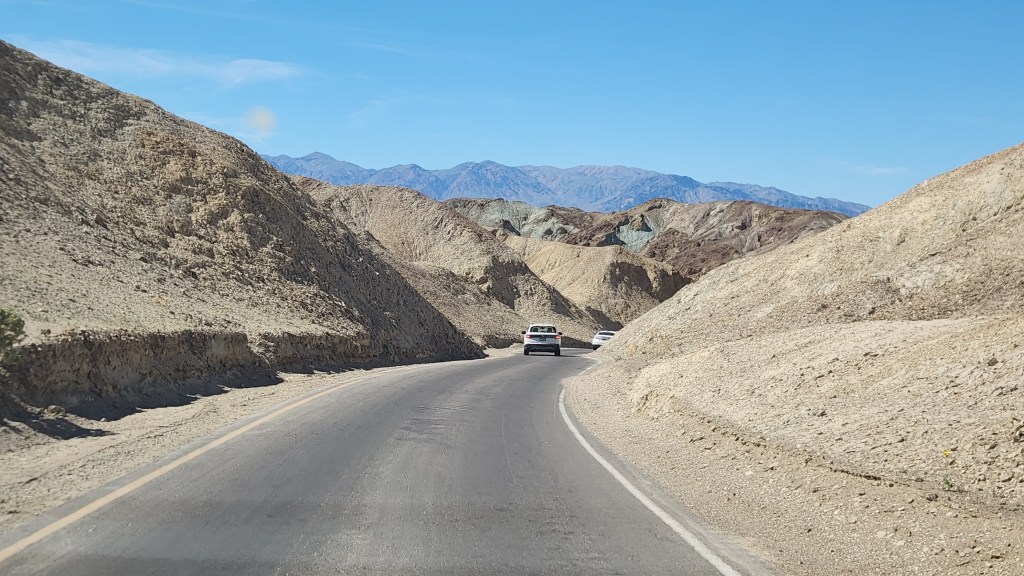
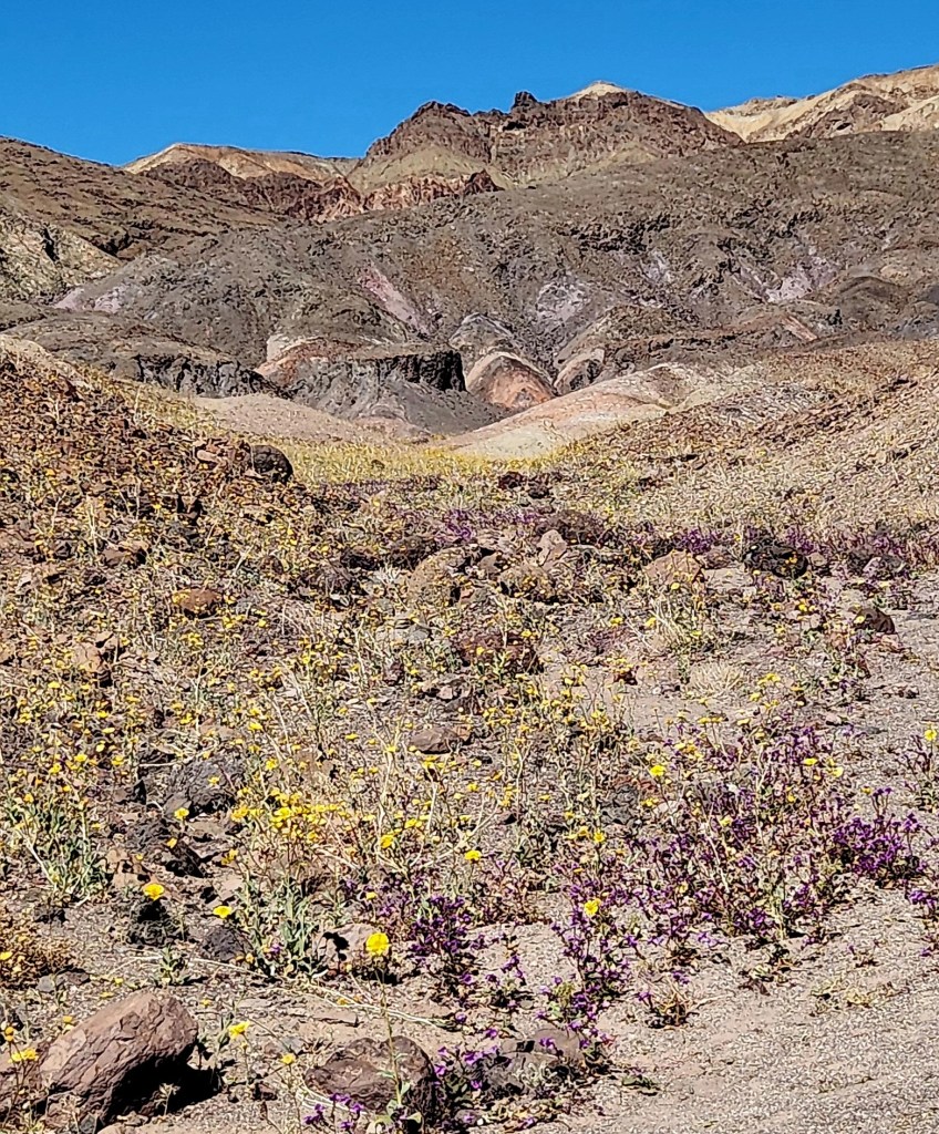
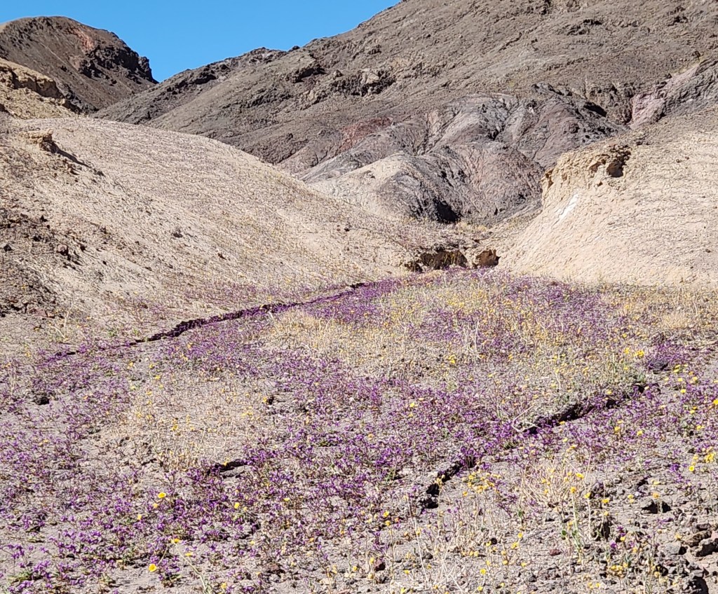
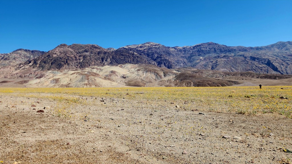
We drove from our hotel in Pahrump to the Death Valley National Park on Thursday morning and spent several hours exploring the park. One difference from our previous visits was that we entered the park from the north this time, rather than from the west as we had during our two previous visits, and were rewarded by the beautiful view from that direction.
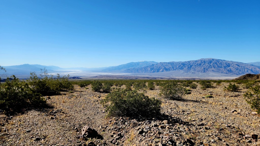
Death Valley is famous for being the hottest, driest, and lowest National Park. Here’s a quote from the National Parks website:
“In this below-sea-level basin, steady drought and record summer heat make Death Valley a land of extremes. Yet, each extreme has a striking contrast. Towering peaks are frosted with winter snow. Rare rainstorms bring vast fields of wildflowers. Lush oases harbor tiny fish and refuge for wildlife and humans. Despite its morbid name, a great diversity of life thrives in Death Valley.”
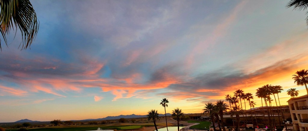
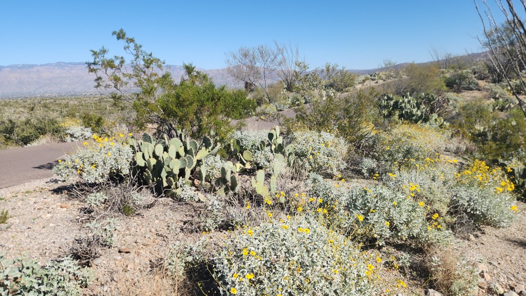
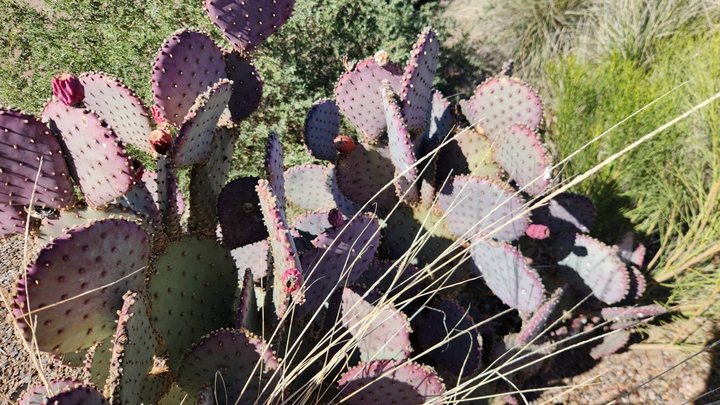
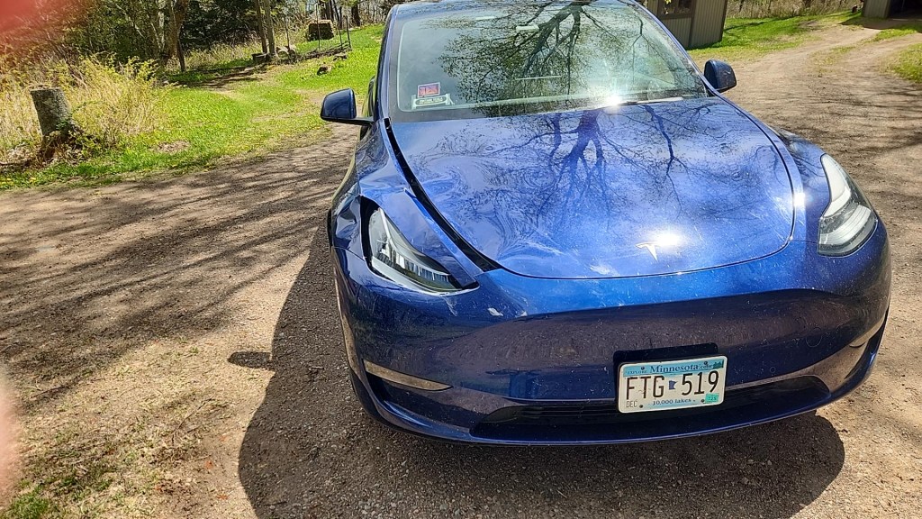
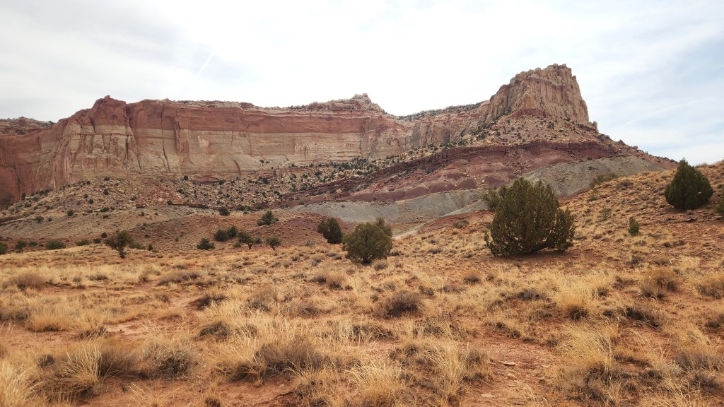
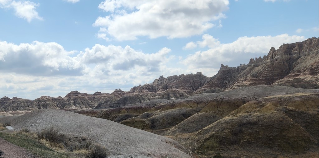
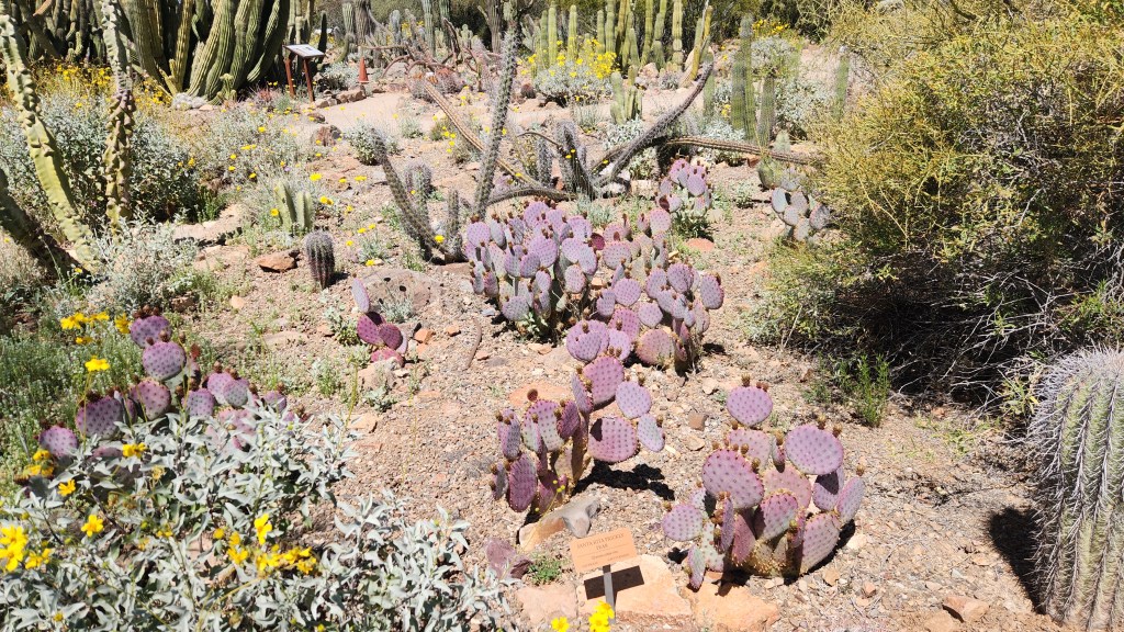
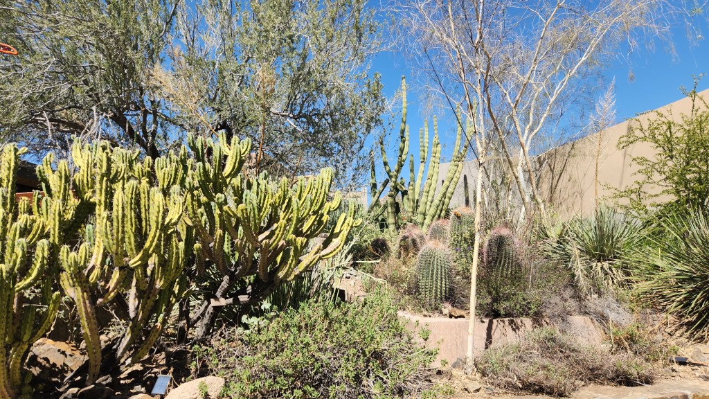
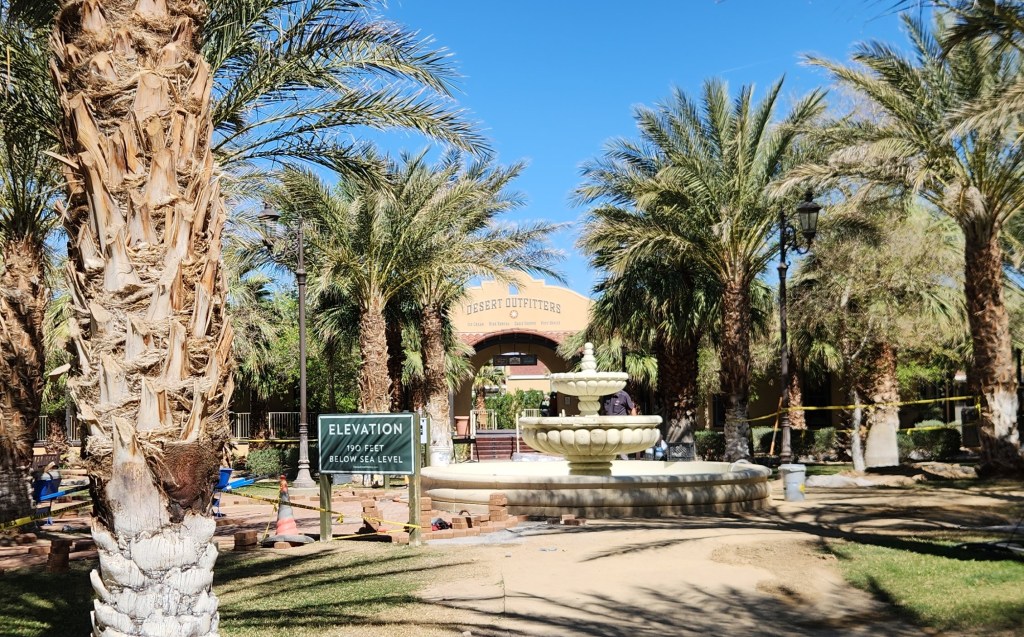
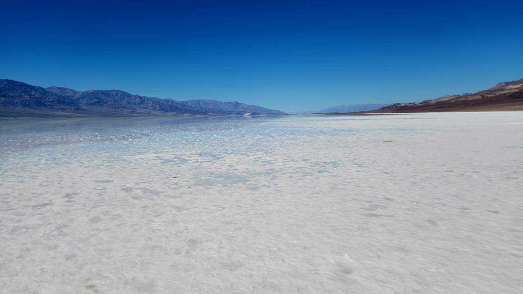
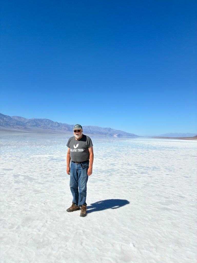
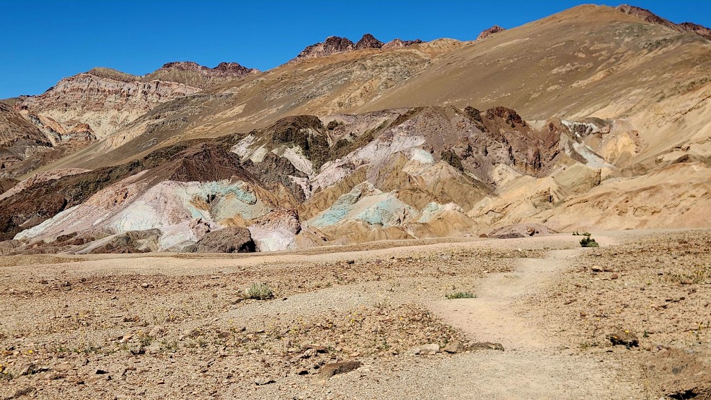
True to these words, we enjoyed the great diversity evident in the park. The yellow and purple wildflowers were blooming to a much greater degree than during our previous visits, and we again enjoyed visiting the Badwater Basin salt flats and driving the stunning Artist Drive loop. We enjoyed lunch and ice cream in two of the eateries in Furnace Creek and strolled on a path that meandered through a portion of the golf course as well as the on-site hotel buildings while we recharged the Tesla at a conveniently located – and free – EV charger before heading back to Pahrump.
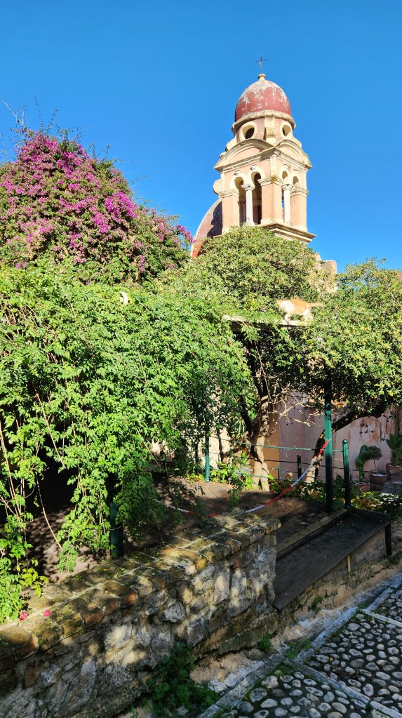
As an added highlight to this visit – and something new as well! – we went to a local winery, the Artesian Cellars, and enjoyed a nice meal along with tastings of five different local wines. This was something we had tried to do back in 2021, but the restaurant was closed at that time due to Covid.
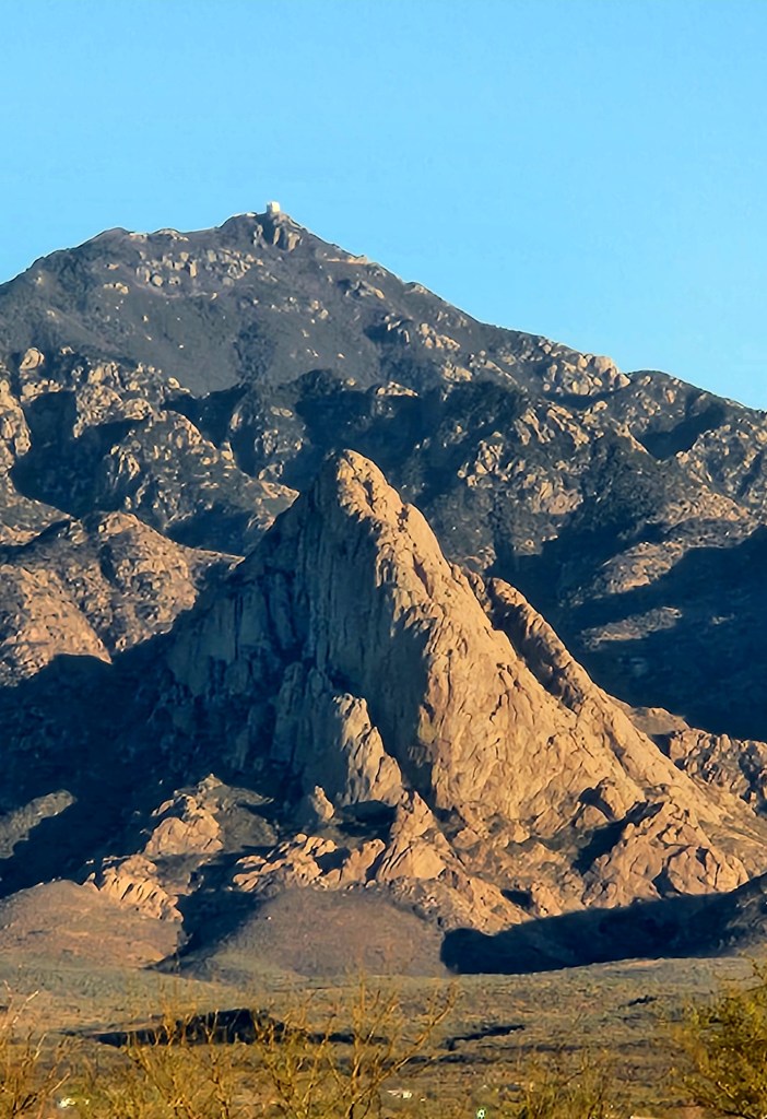
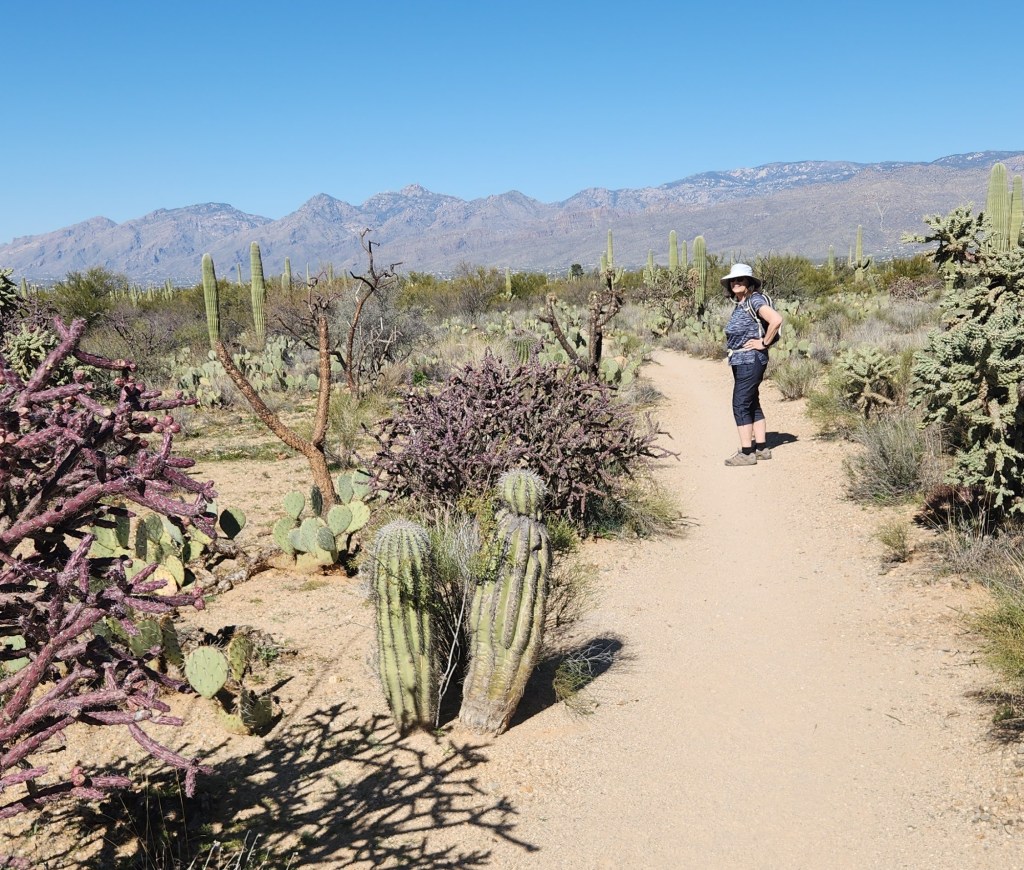
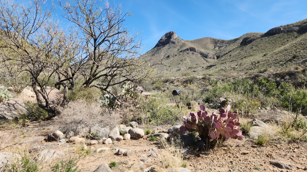
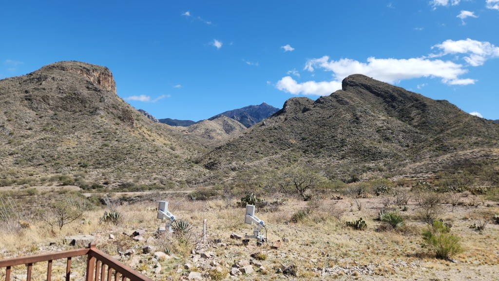
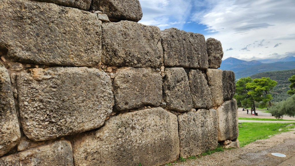
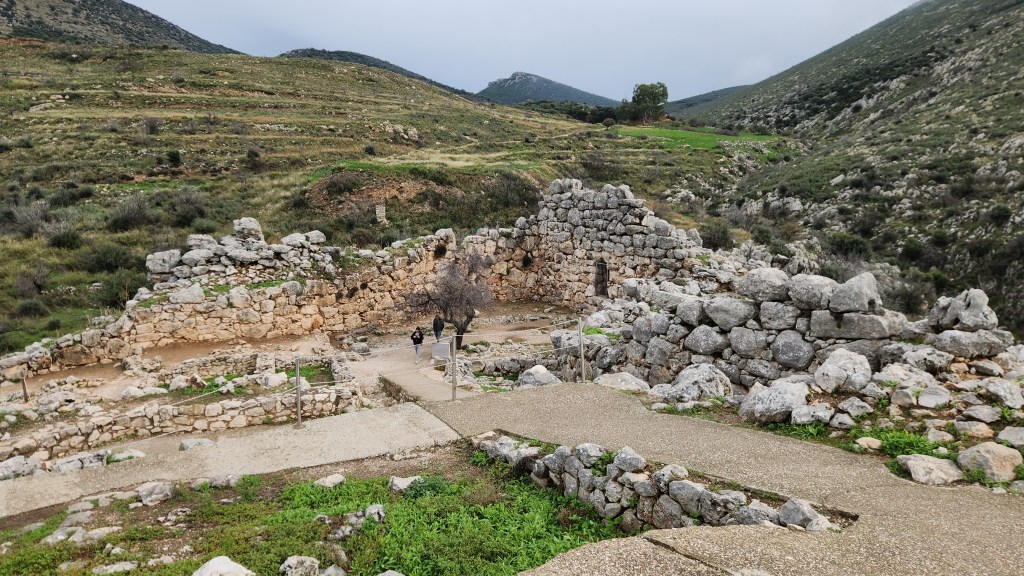
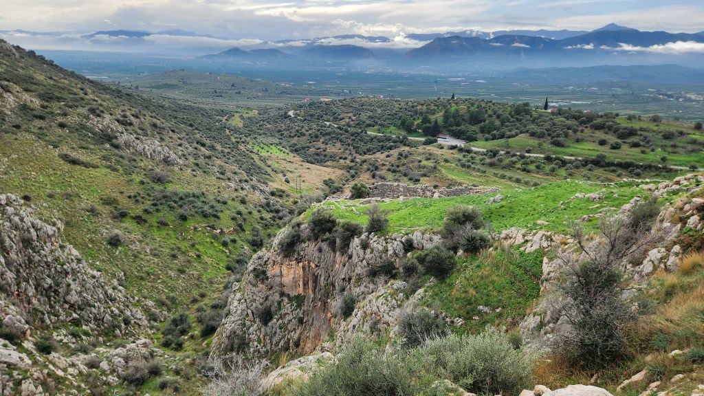
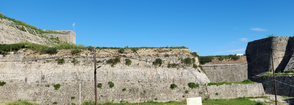
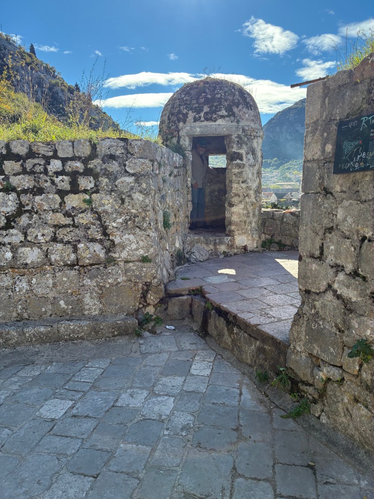
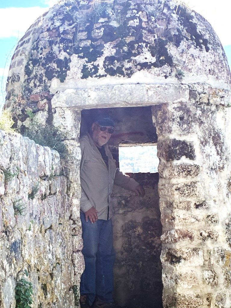
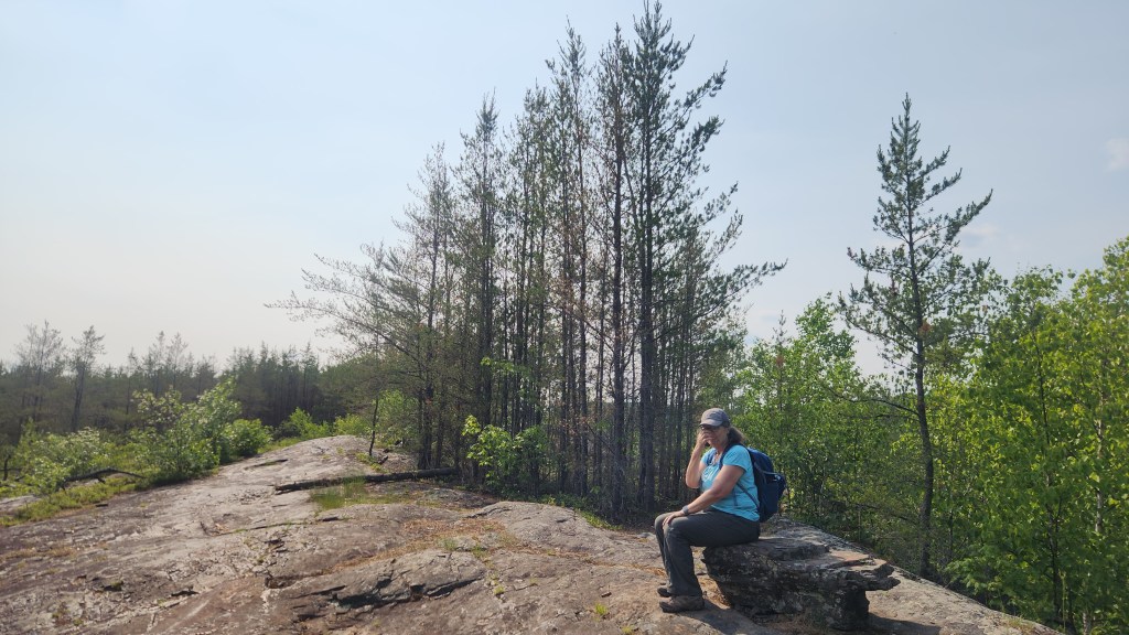
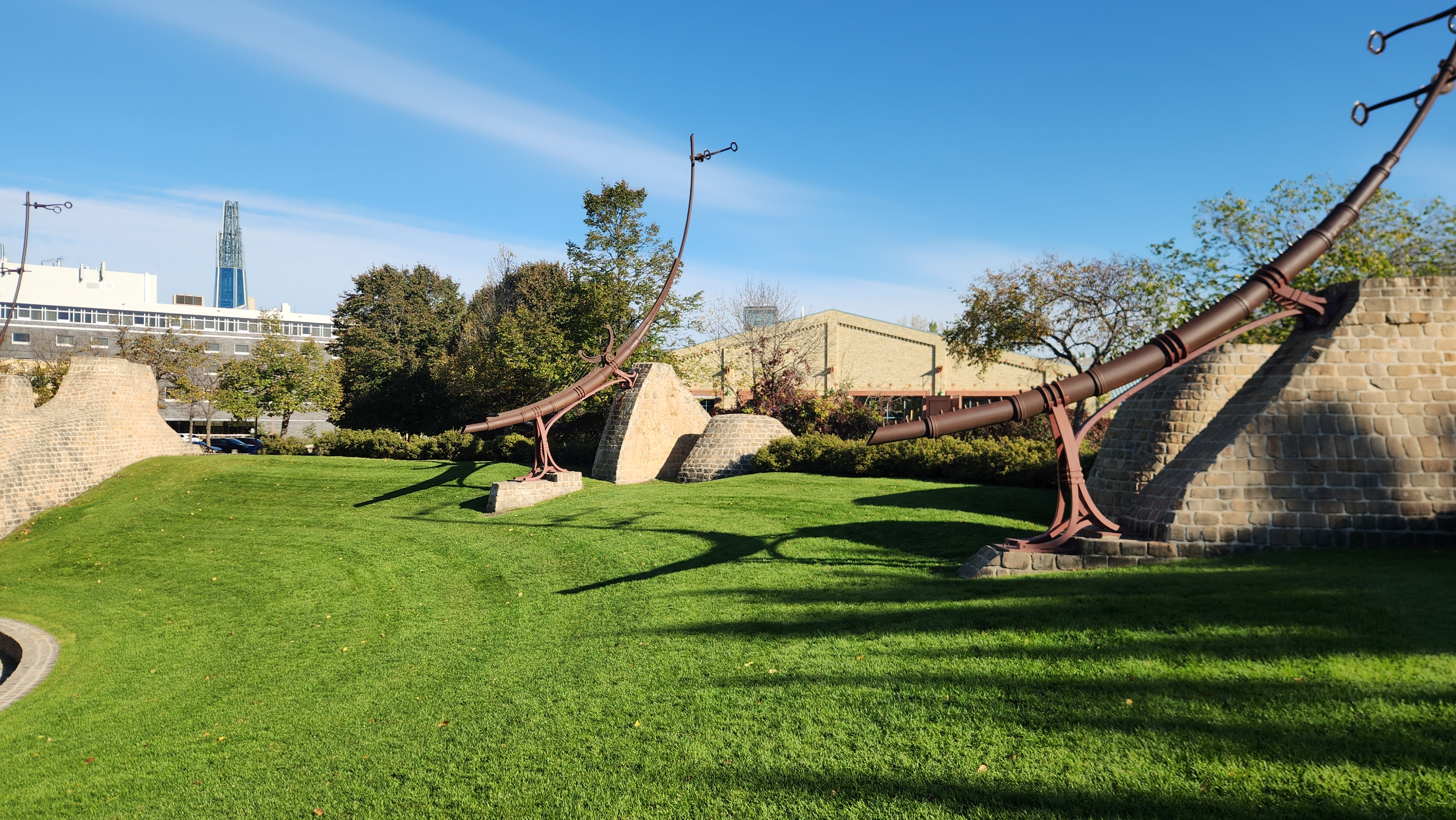
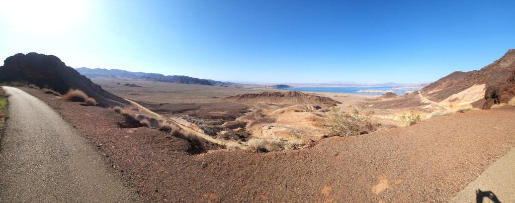
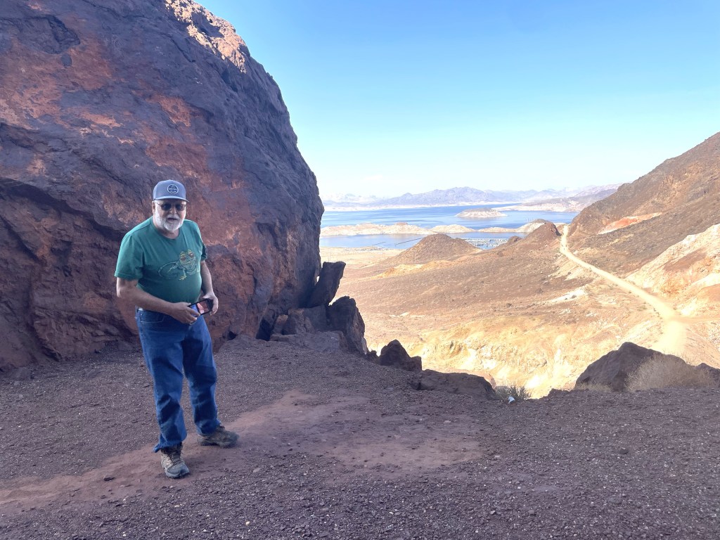
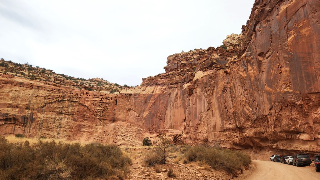
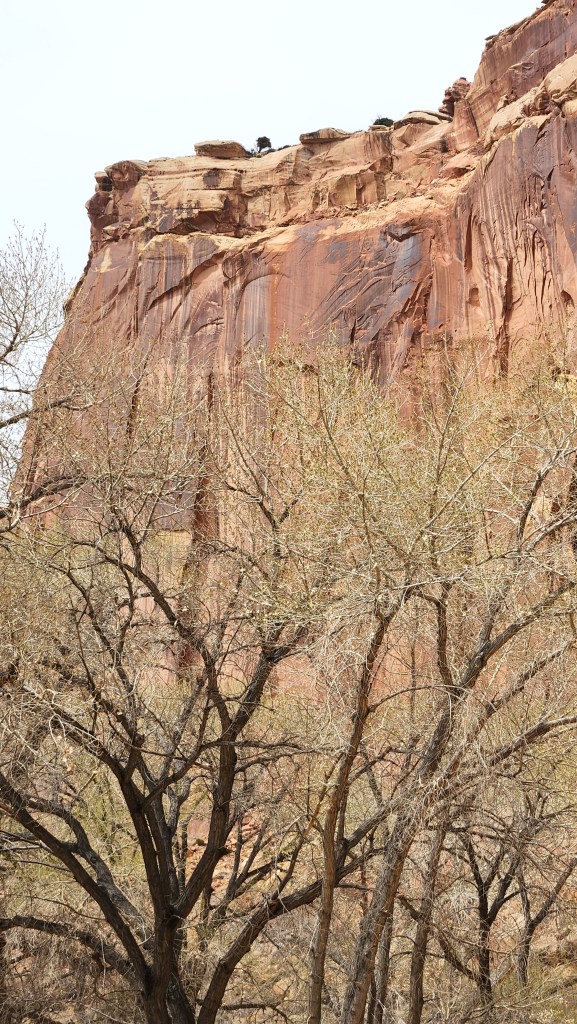
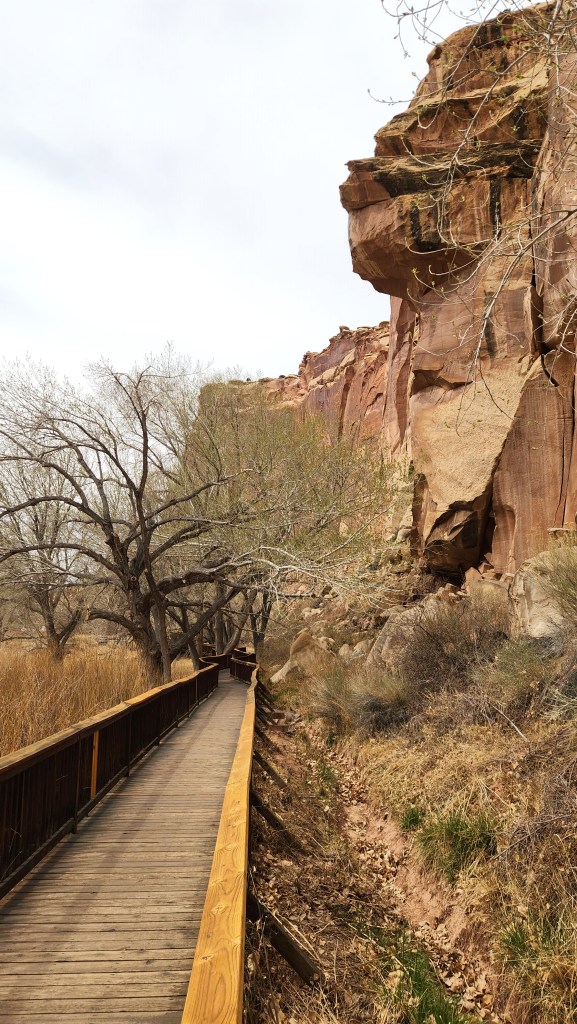
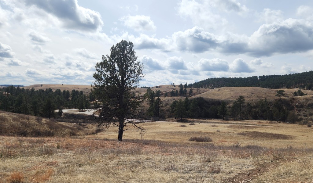
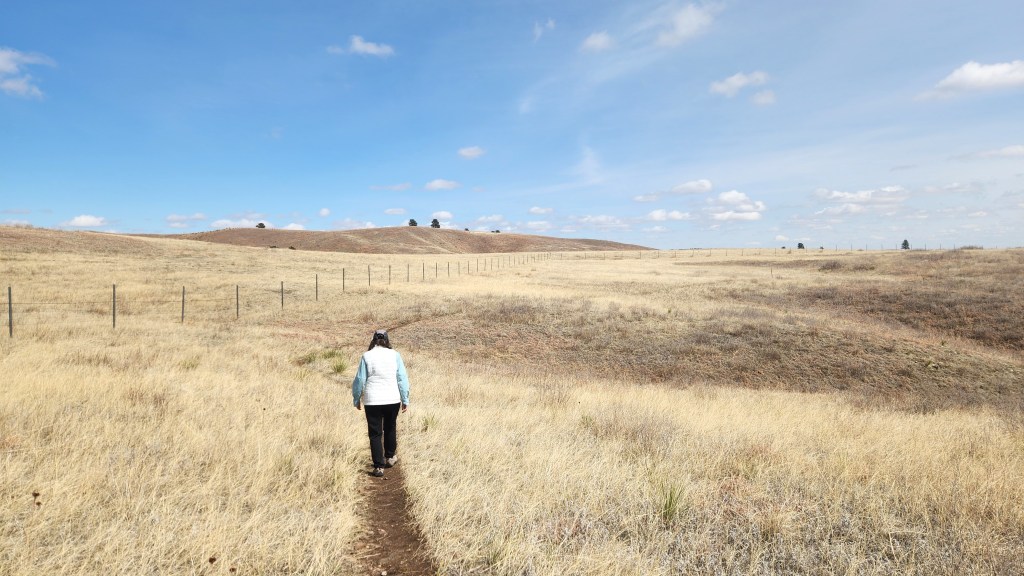
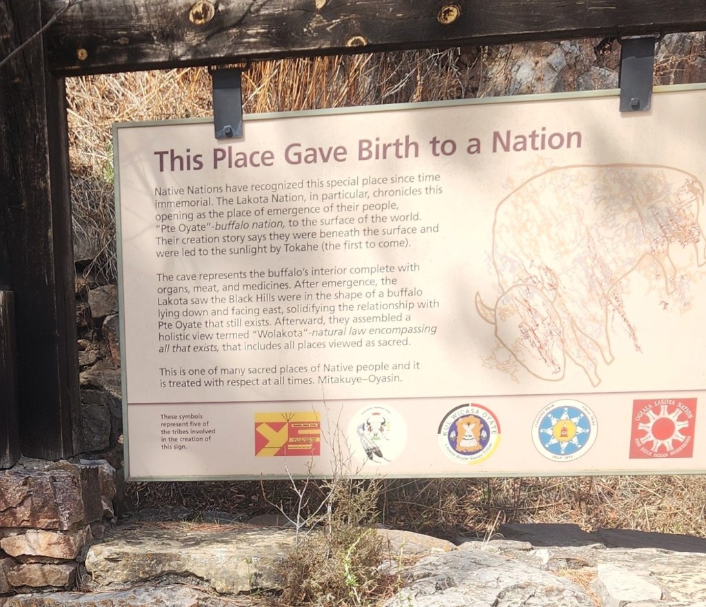
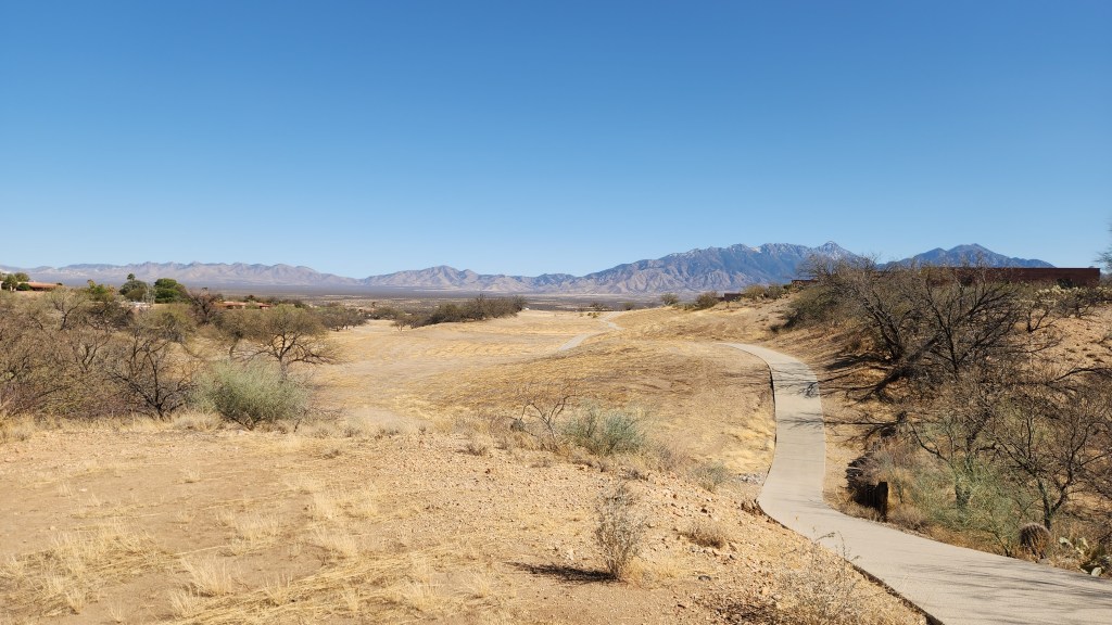
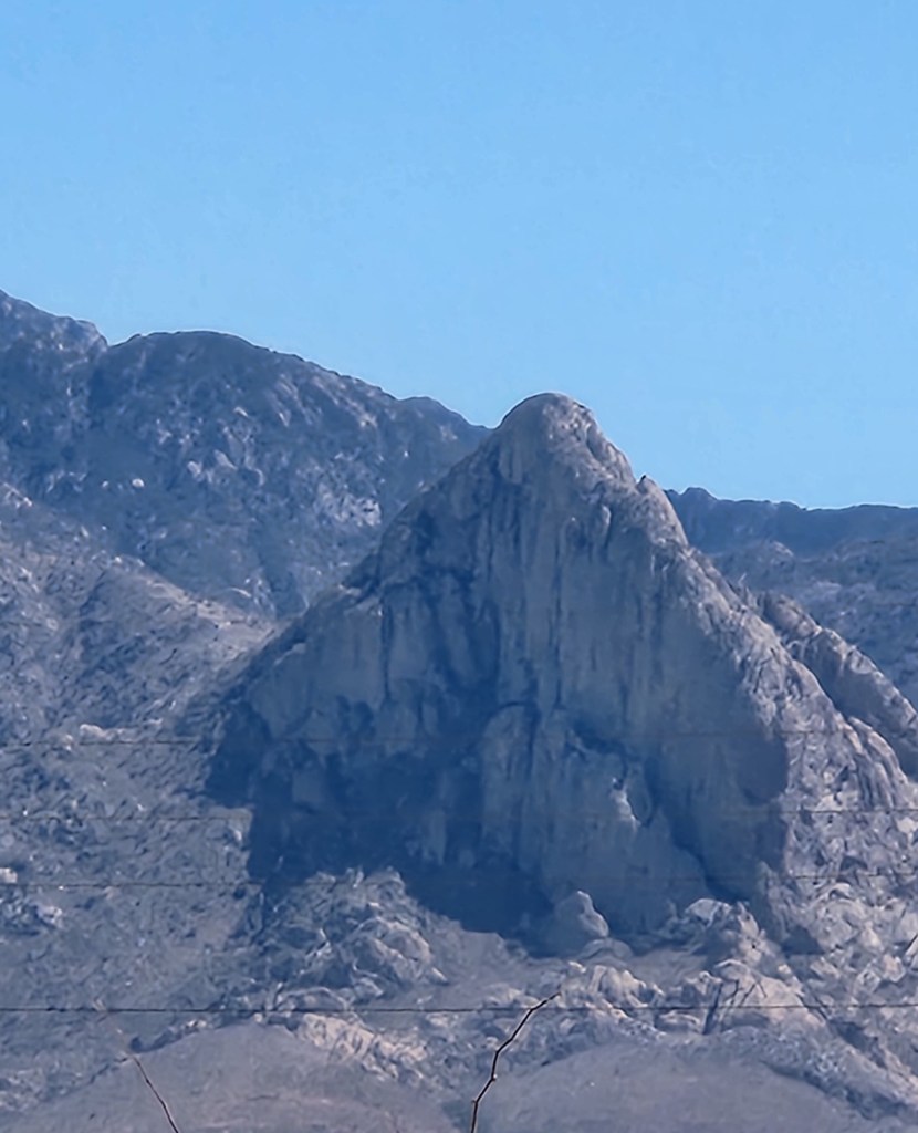
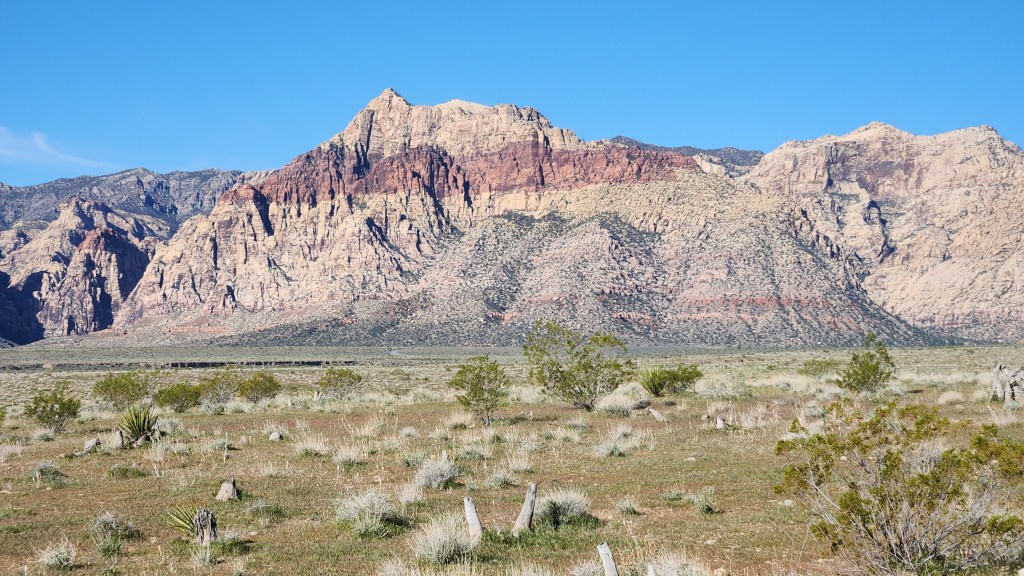
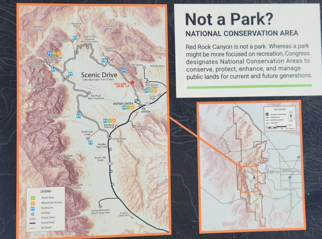
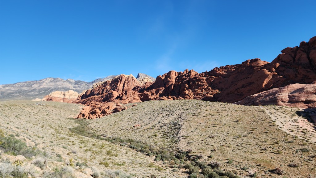
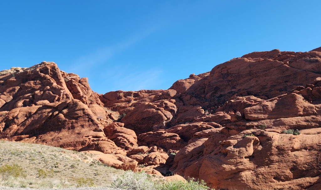
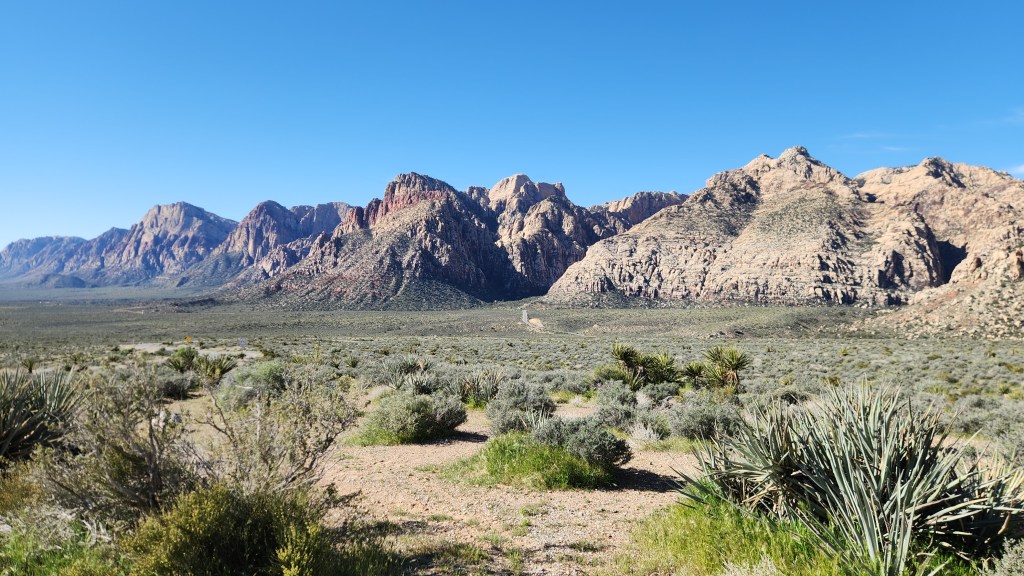
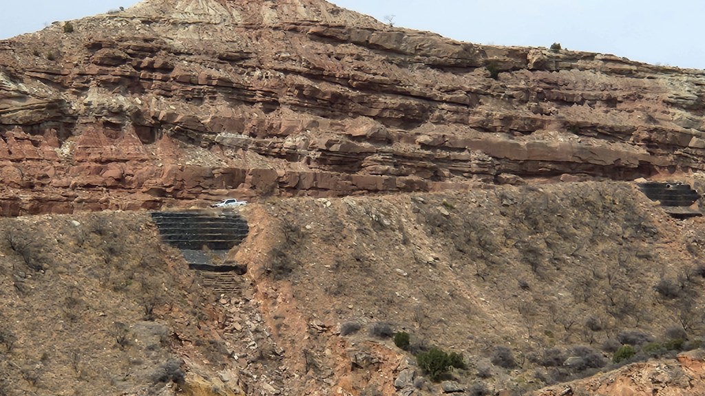
Red Rock Canyon National Conservation Area, Clark County, NV: As we sat in our hotel room in Pahrump the night before departing, we realized that our subsequent travels would take us directly past the National Conservation Area that we had visited back in 2021. Naturally, in the “do-it-again” spirit, we decided we should visit there again on this trip. So, I reserved a timed-entry slot on the Recreation.gov site for 9 AM on Friday, March 13. We arrived at the entry gate shortly after nine and spent an hour motoring around the 13-mile Scenic Drive loop, stopping frequently to ogle at the stunning scenery.

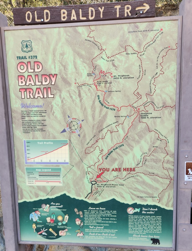
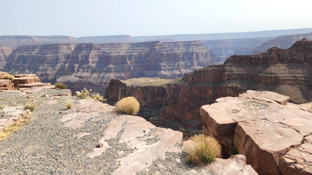
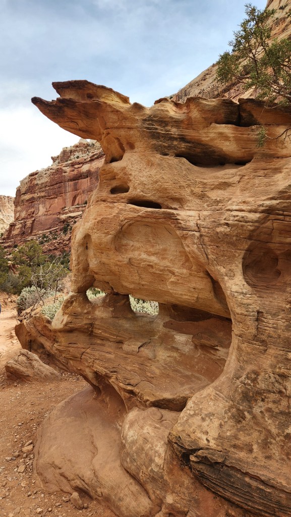
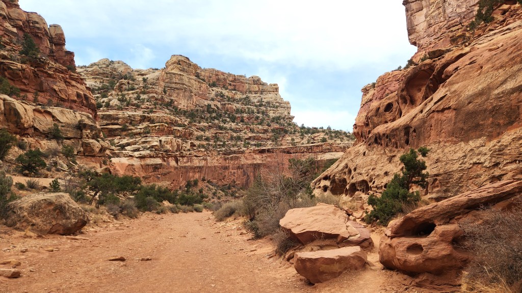
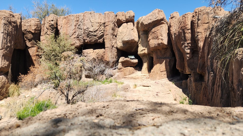
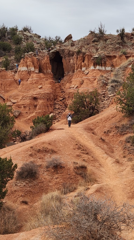
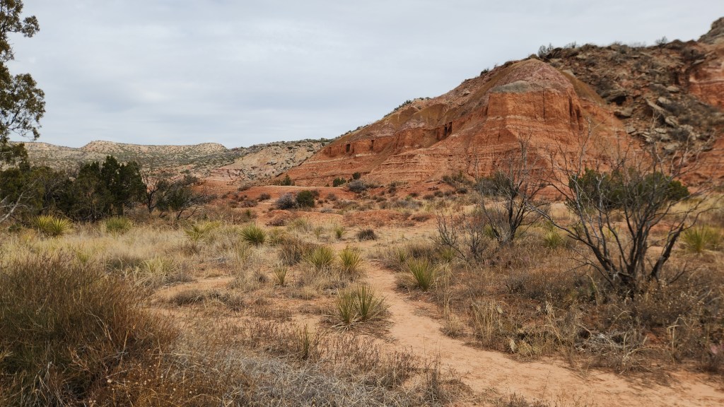
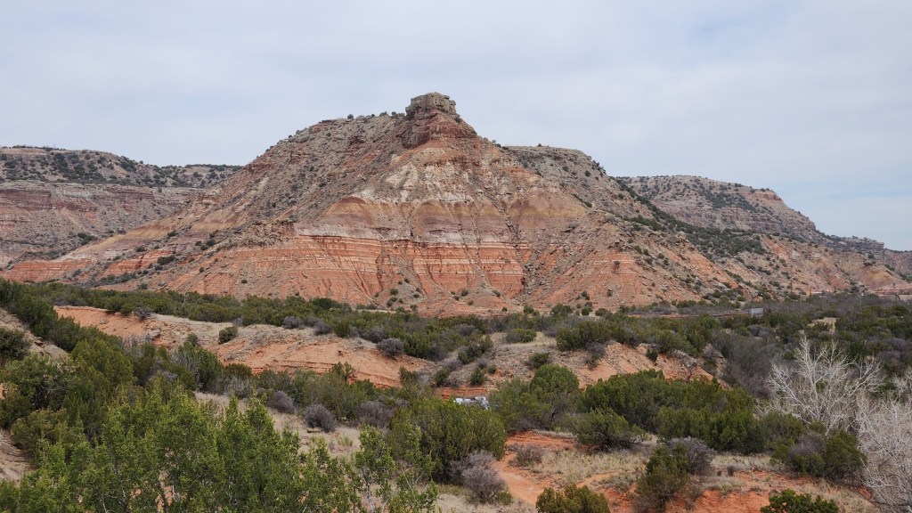
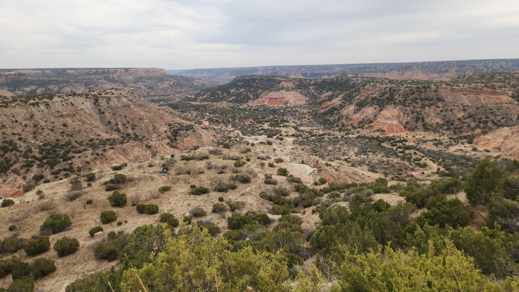
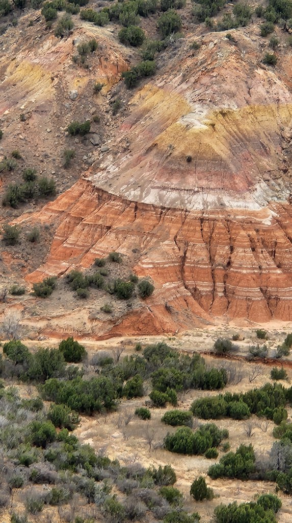
Palo Duro Canyon State Park, Canyon, TX: After our Red Rock Canyon visit, we spent two days travelling east to Amarillo, TX, where we stopped for a 2-night stay and another “do-it-again” visit, this time to the nearby Palo Duro Canyon State Park. Not to sound like a broken record, but yes, we had visited this place during both of our previous RV adventures and had very fond memories of the place. Palo Duro is known as the “Grand Canyon of Texas” and definitely lives up to the name. The visitor center is located on the rim of the 120-mile-long, 20-mile-wide canyon. After passing the visitor center, we descended on an amazing, scenic road with multiple hairpin turns and switchbacks that winds down some 800 feet to the canyon floor. The well-maintained, 16-mile loop road continues through the portion of the canyon that is open to the public, with access to over 30 miles of hiking trails and multiple campgrounds. On our previous visits, we stayed in the RV at the Hackberry Campground, located about halfway along the loop road, and the Mesquite Campground at the westernmost end. We drove past both of these sites on our trip around the loop, eliciting a raft of fond memories.
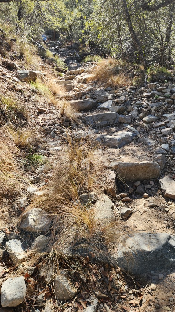
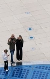
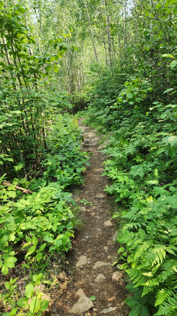
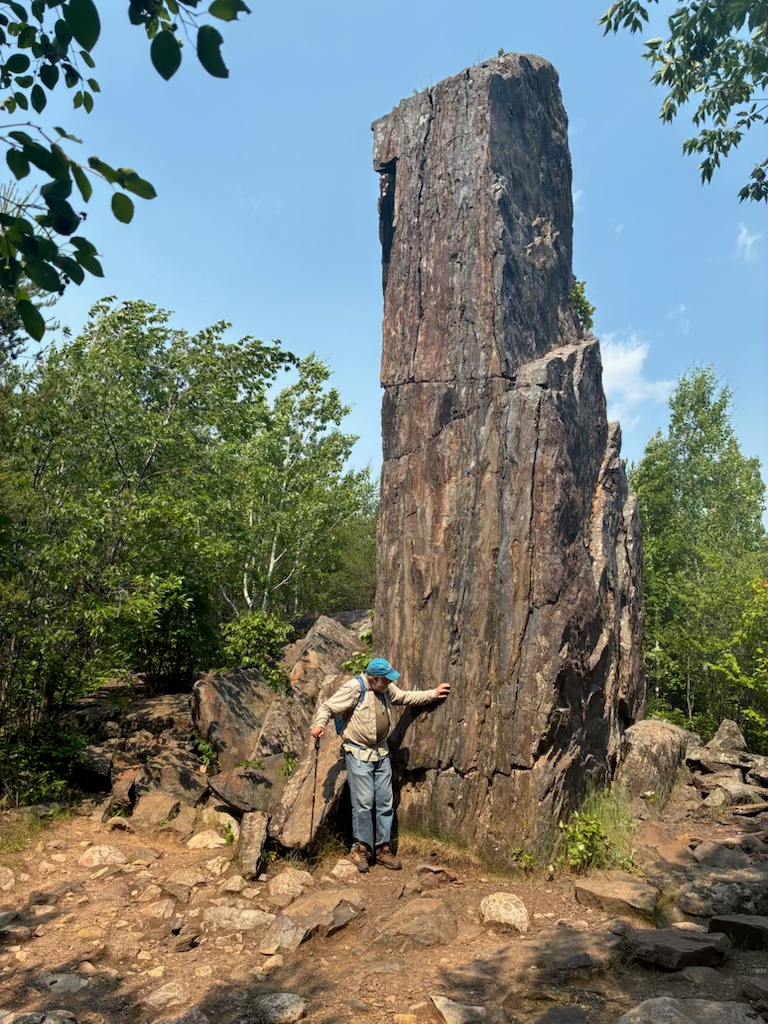
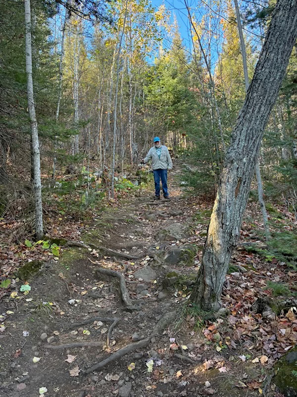
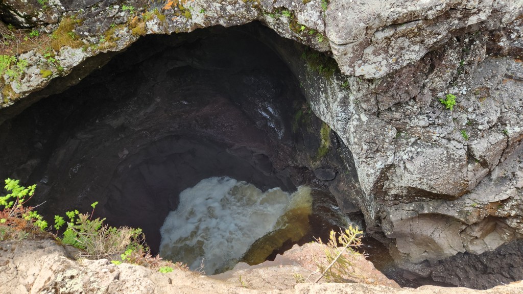
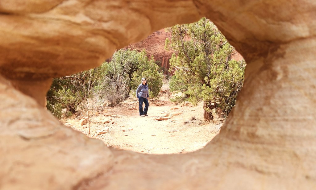
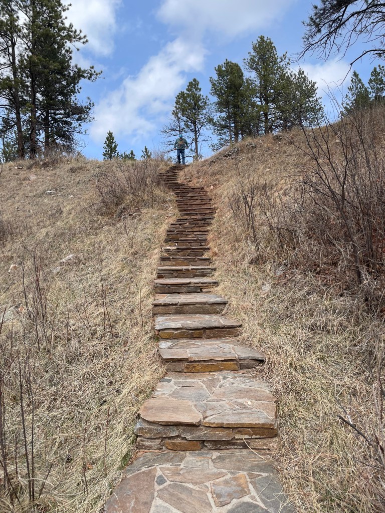
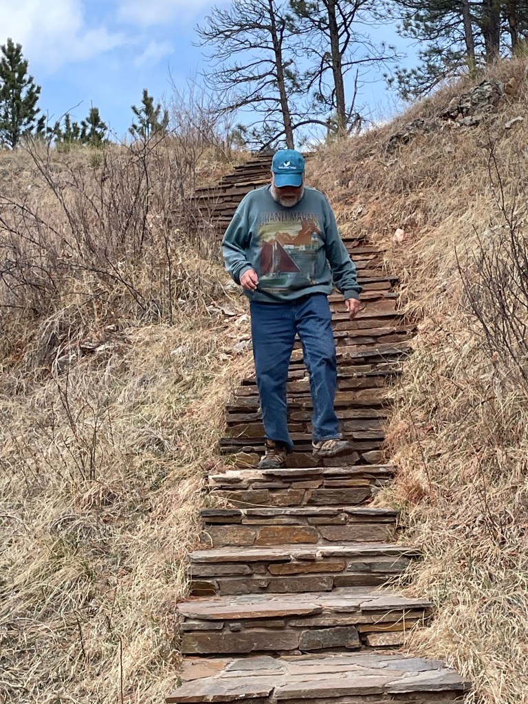
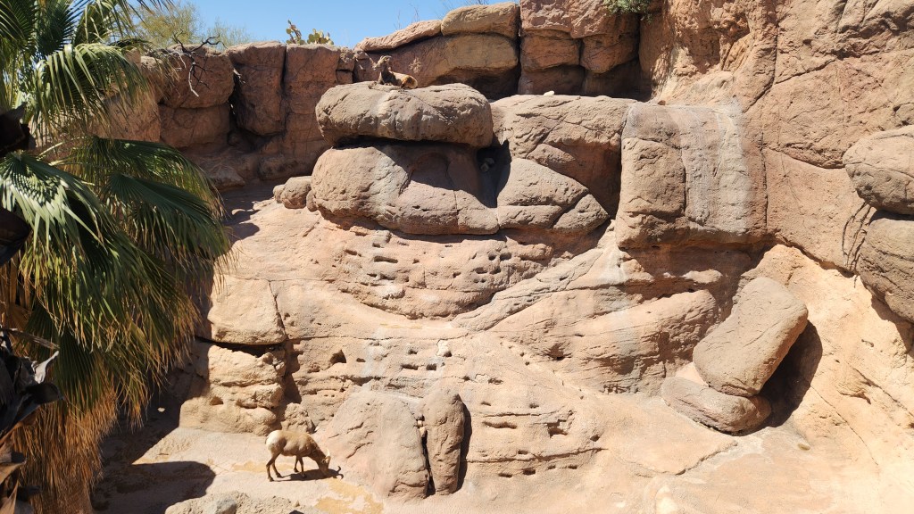
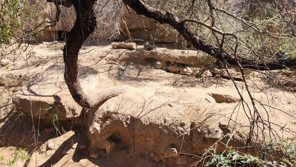
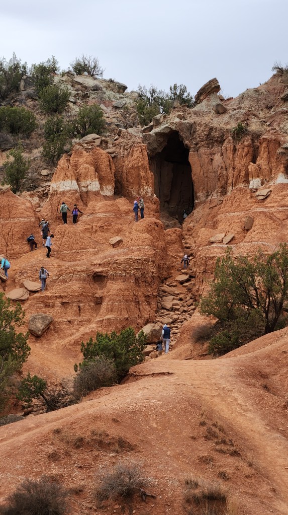
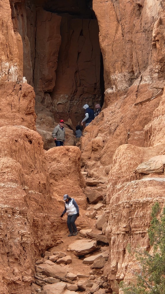
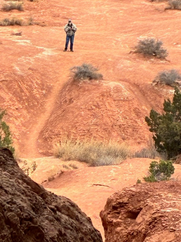
As we traversed the loop road, we stopped at a number of turnouts to take photos and took a short hike to a point of interest called the Big Cave (number 10 on the map above). I ventured partway up the steep climb to the cave, but even with my walking sticks I felt too wobbly to go the whole way. Pat was more adventurous, but I decided discretion was the better part of valor and instead documented her exploits from afar. She went inside the cave before returning to the base where I was waiting.
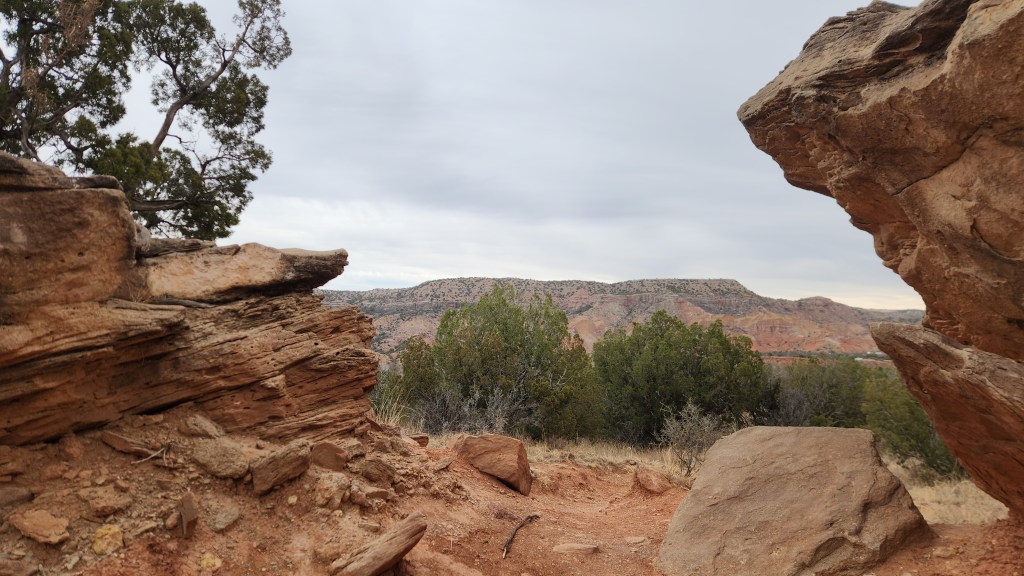
After that, we walked a short way along the Capitol Peak trail before heading to the Trading Post for a lunch of their “world-famous” burgers. We then took another short hike on the Pioneer Nature Trail before heading back up to the rim for a final stop at the visitor center with its spectacular overlooks into the canyon.
I’ll wrap up this episode here, as we depart from Palo Duro Canyon. Stay tuned for the next installment, in which we actually visit some places we’d never been to before!