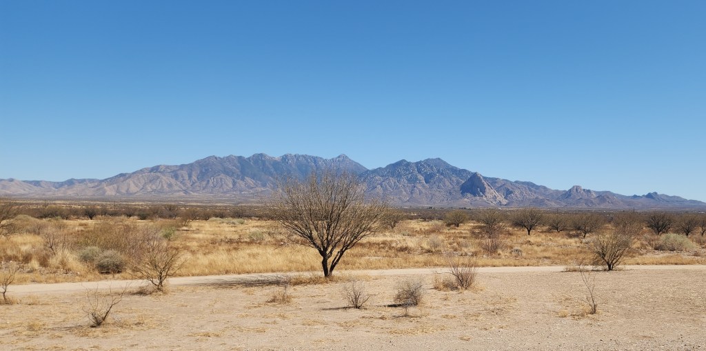
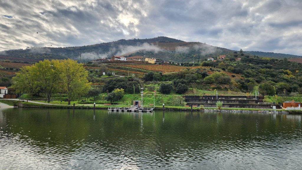
This is the second and final part of a travel blog installment describing some of the places we visited during the summer season of 2025. Part 1 covered some interesting sites near our cabin on Lake Superior’s North Shore (the titular Summer Sanctuary) as well as several places along the shore that we visited during June of 2025. In this post, I’ll describe some additional places along the shore and in our great neighbor nation to the north over the course of the summer season (my generous definition of summer extends into the first week of October).
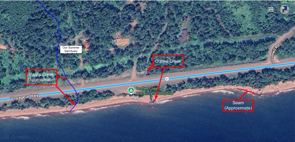
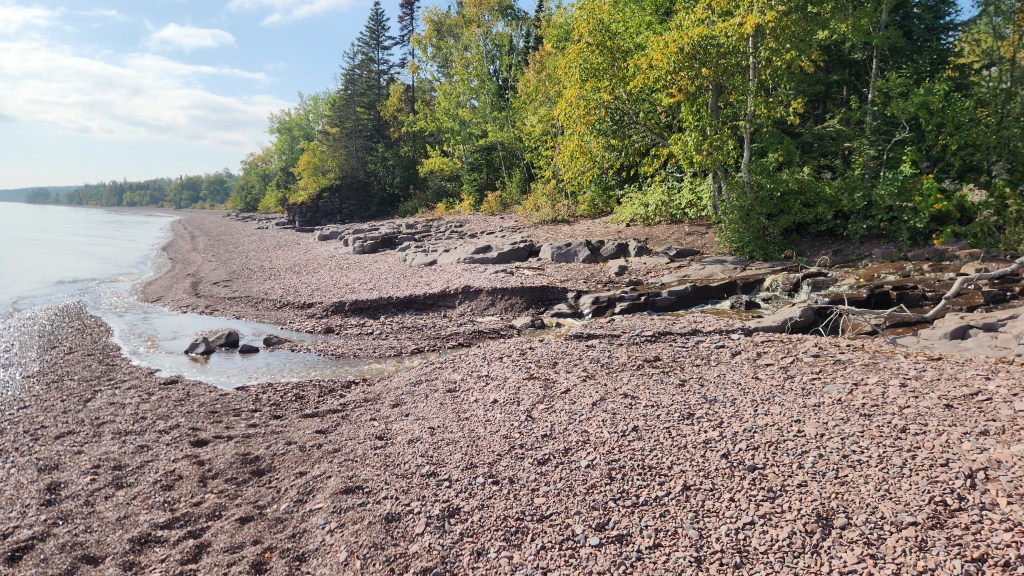
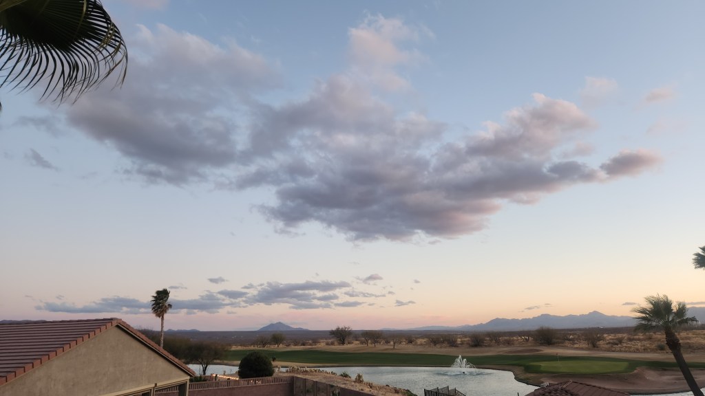
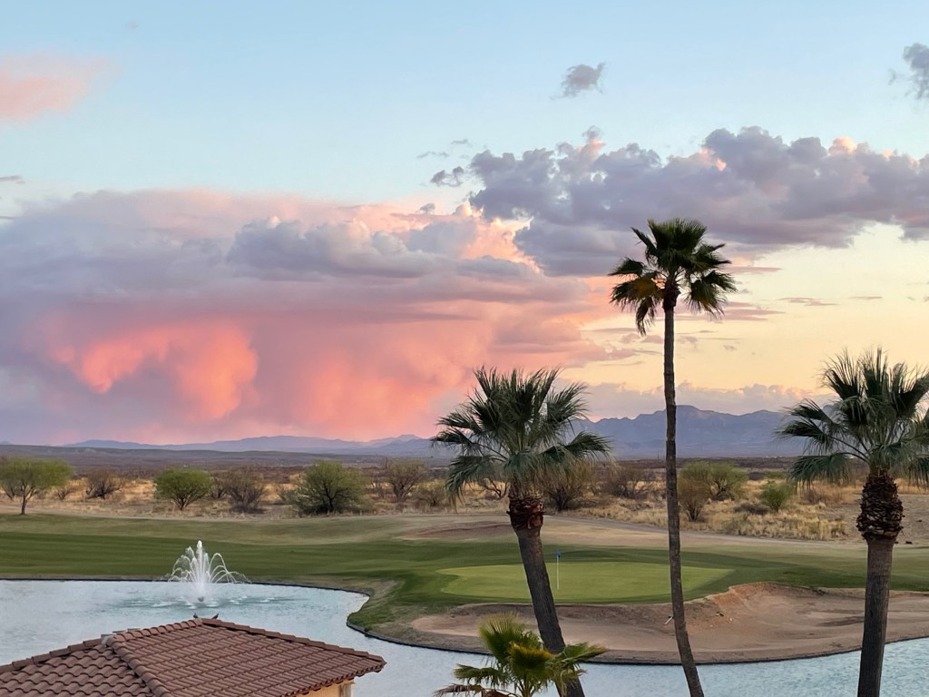
Near the Summer Sanctuary: I forgot to add this tidbit to Part 1. On August 25th, for the first time ever in my life, I encountered a pelican swimming in Lake Superior just off the mouth of Durfee Creek near the cabin. It was very calm as I approached, gently paddling out into the lake until it was out of view.

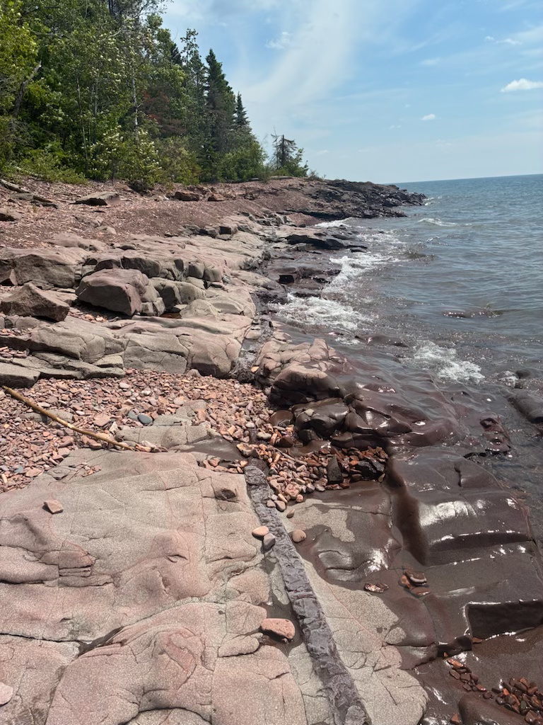
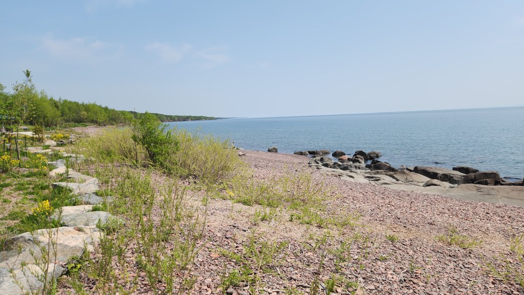
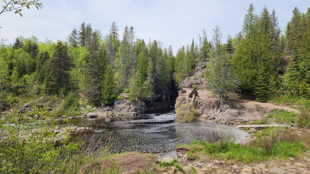
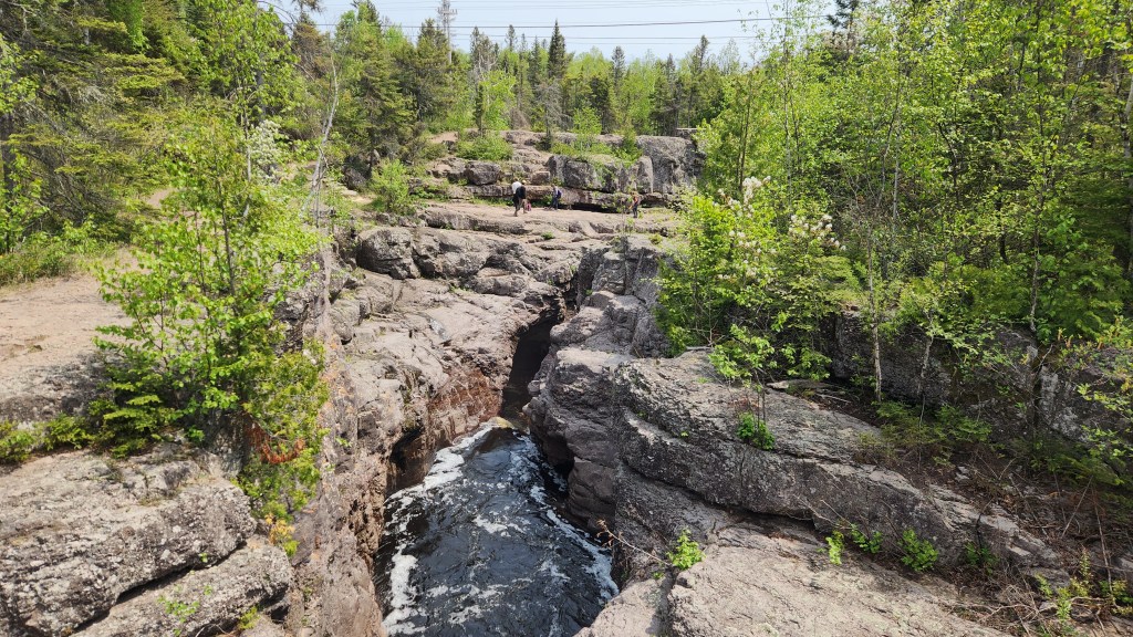
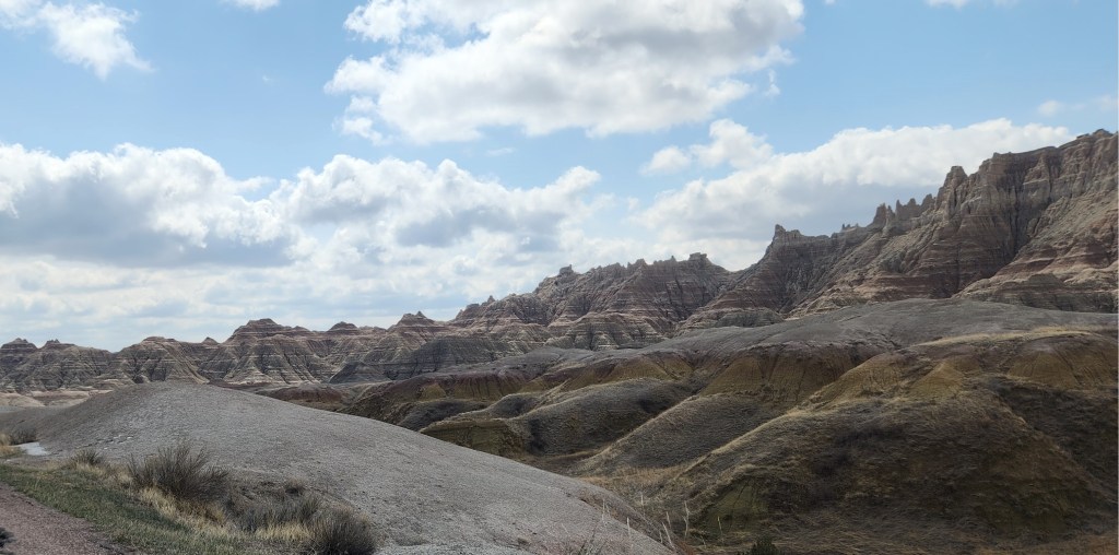
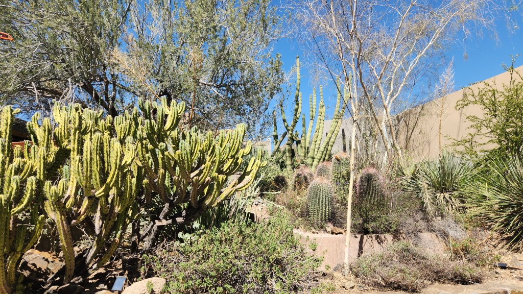
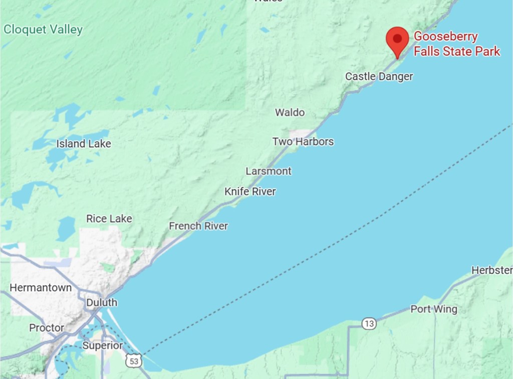
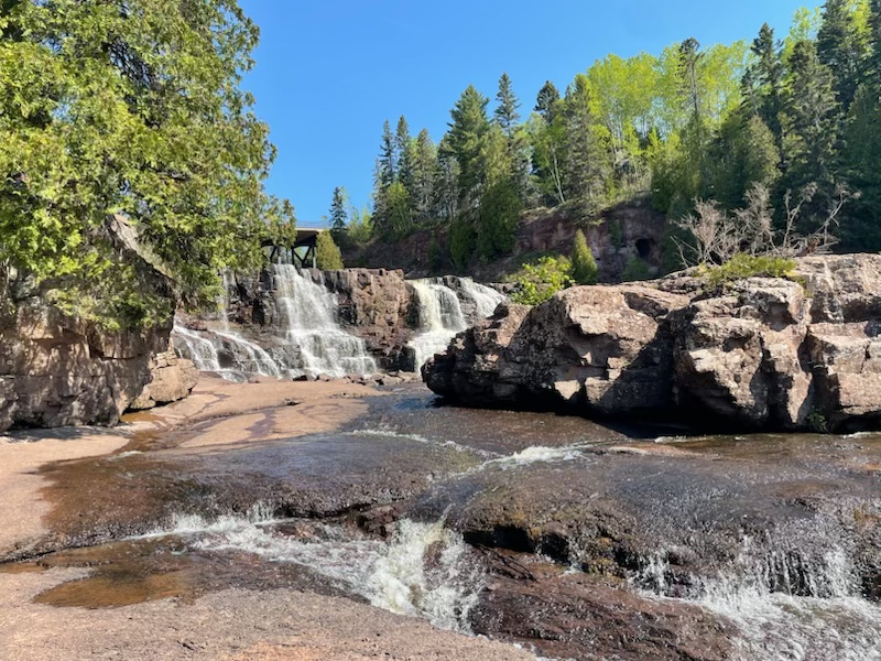
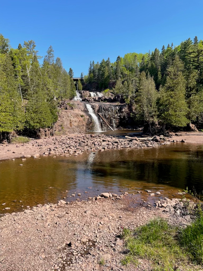
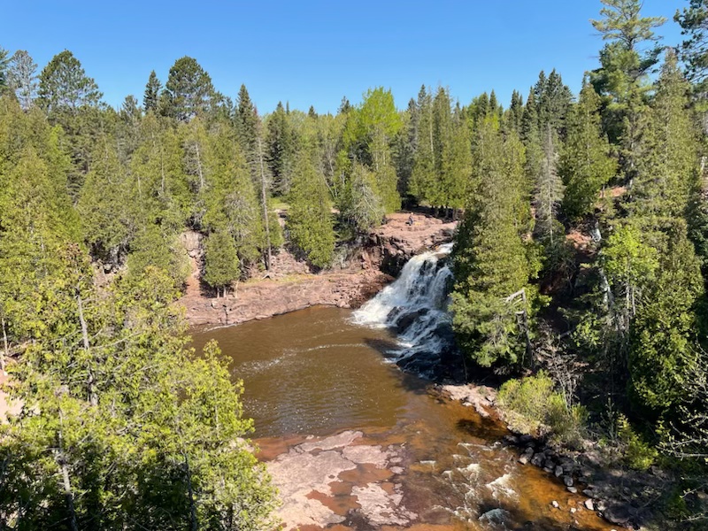
Gooseberry Falls State Park: Gooseberry, located 40 miles northeast of Duluth, MN, on Highway 61, is the most-visited of the eight state parks along the North Shore.
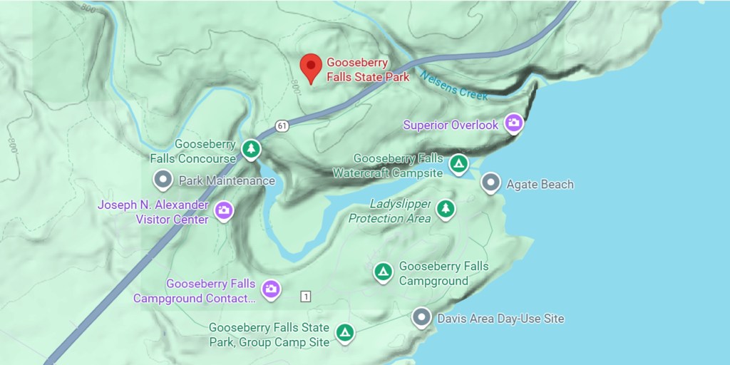
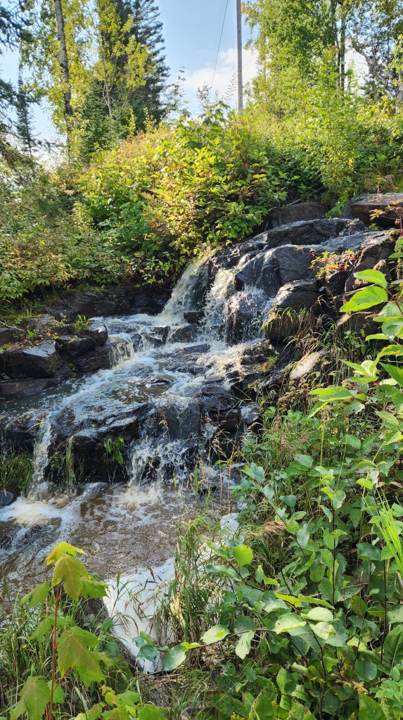
We stop there at least once every year on the way to or from the Summer Sanctuary. There is free access to the visitor center and the multiple trails on both sides of the Gooseberry River. There are two free EV chargers located in the parking lot, and for the first time in my experience when I stopped by on September 18, both chargers were being used. A sign of progress? Pat took these photos and video when she visited the falls on May 31 – they illustrate exactly why visitors love to stop there to hike the various trails and admire the scenery.
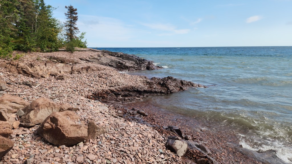
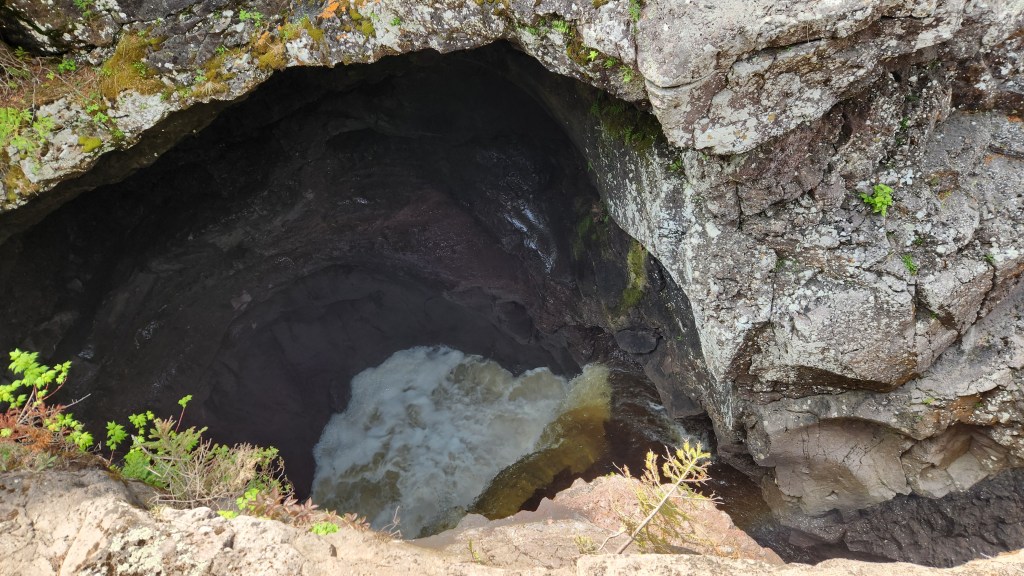
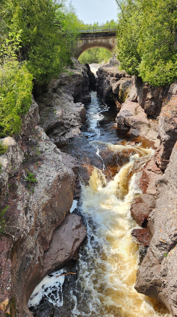
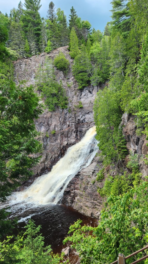
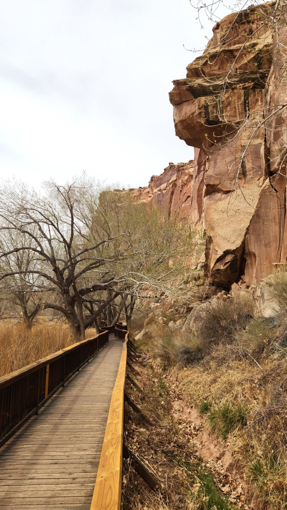
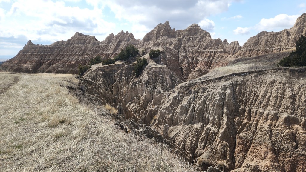
Devil’s Kettle: This interesting natural phenomenon is located on the Brule River within the Judge C.R. Magney State Park, located on Highway 61 four miles southwest of Hovland, MN.
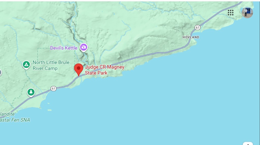
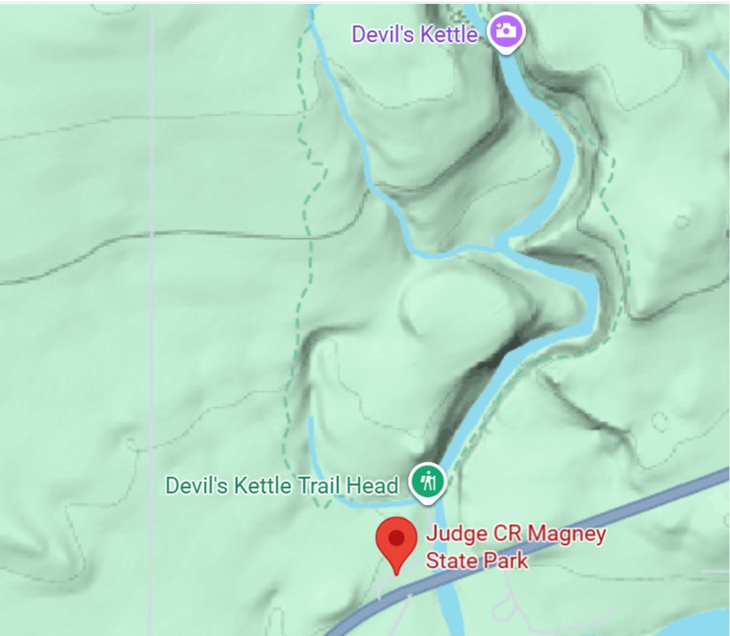
The Devil’s Kettle is a place where roughly half of the river disappears into a hole in the rocks while the rest of it flows on to a beautiful waterfall. I’ve read various stories about people trying, unsuccessfully, to find the outlet for the missing half of the river by putting various substances in the water. Wherever it may go, it’s a fascinating sight to see, after a hike of roughly a mile from the trailhead. Pat took these photos there on July 6th.
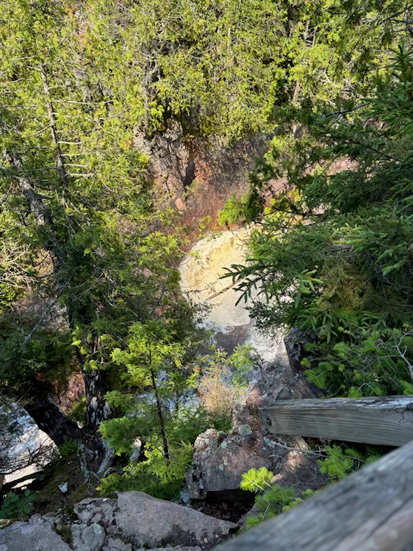
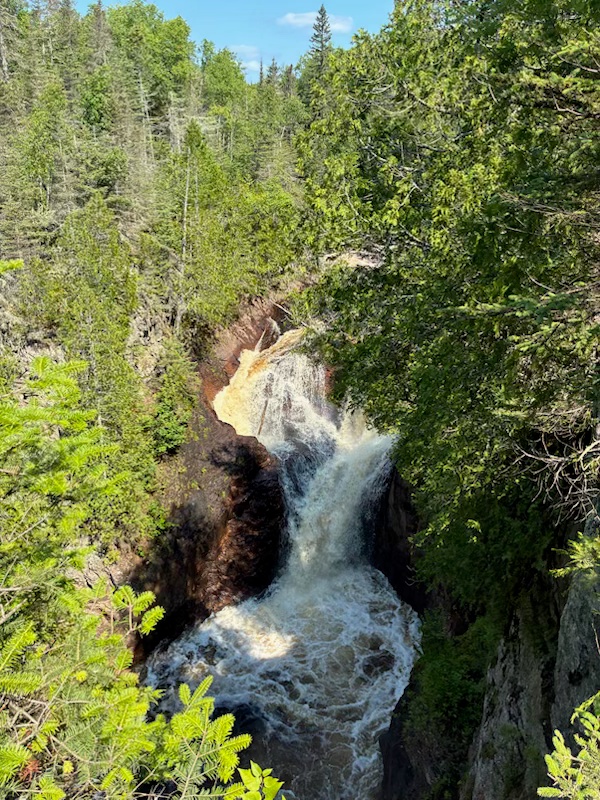
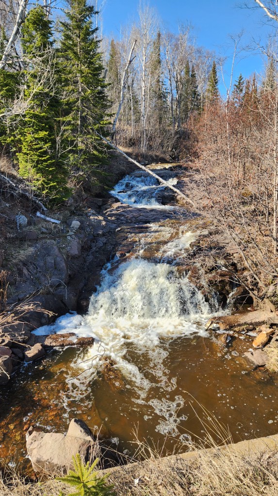
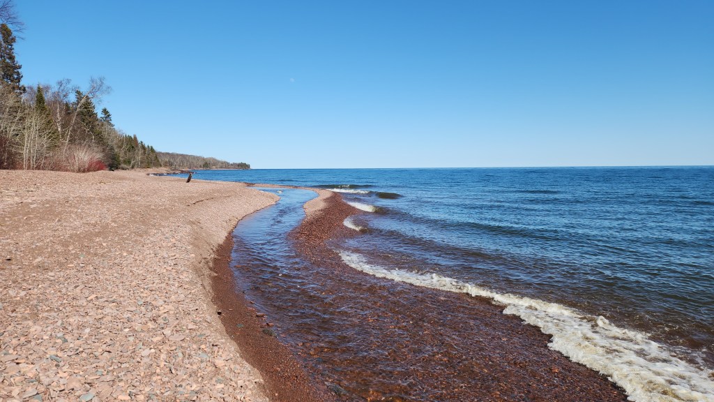
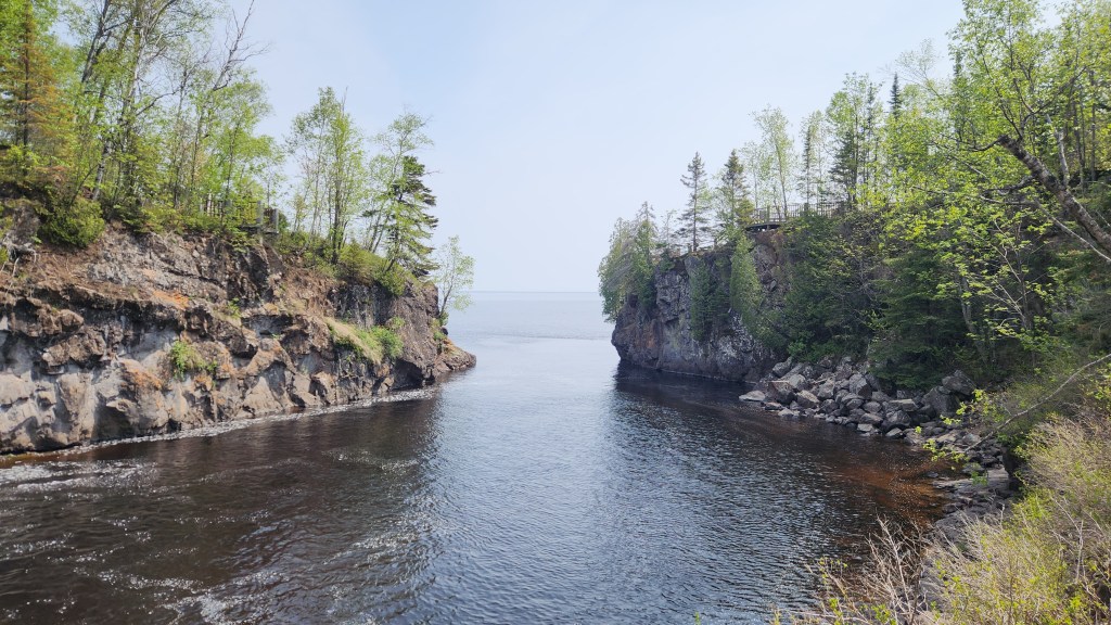
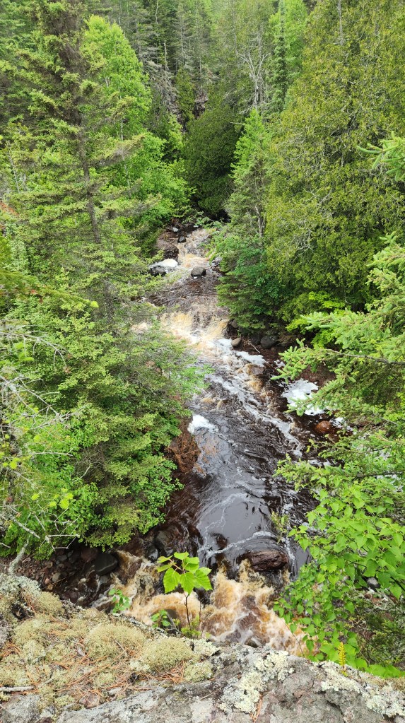
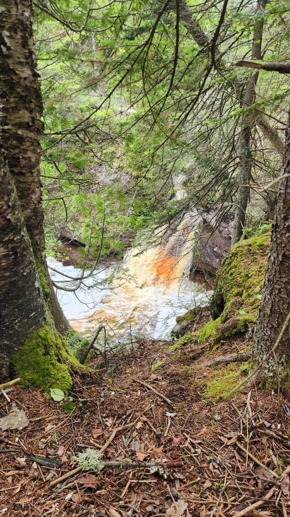
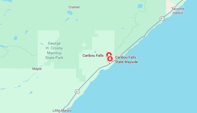
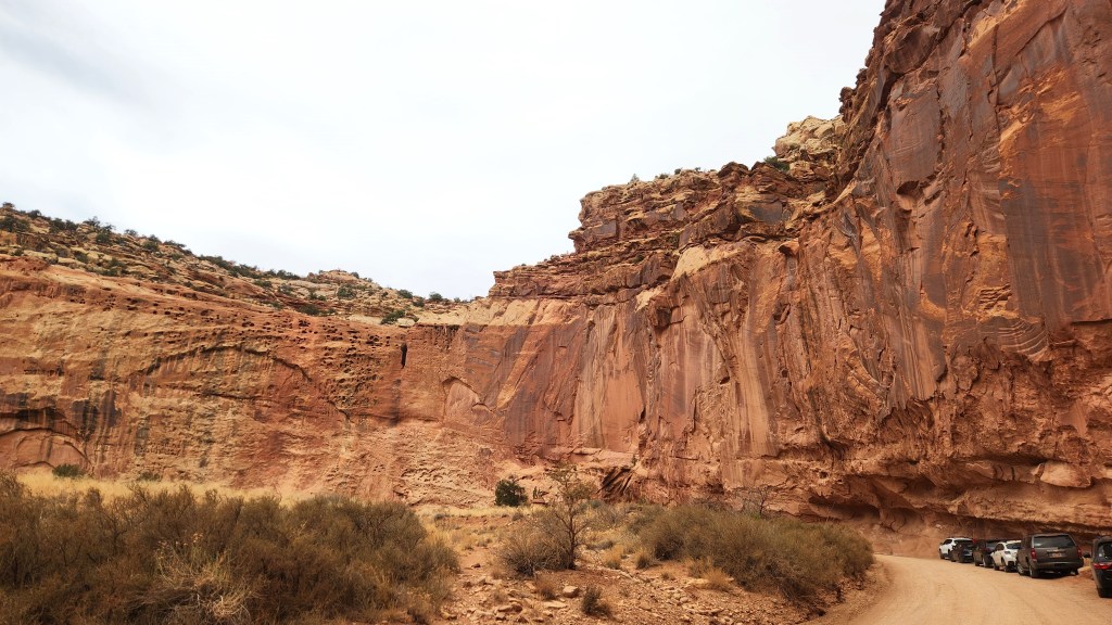
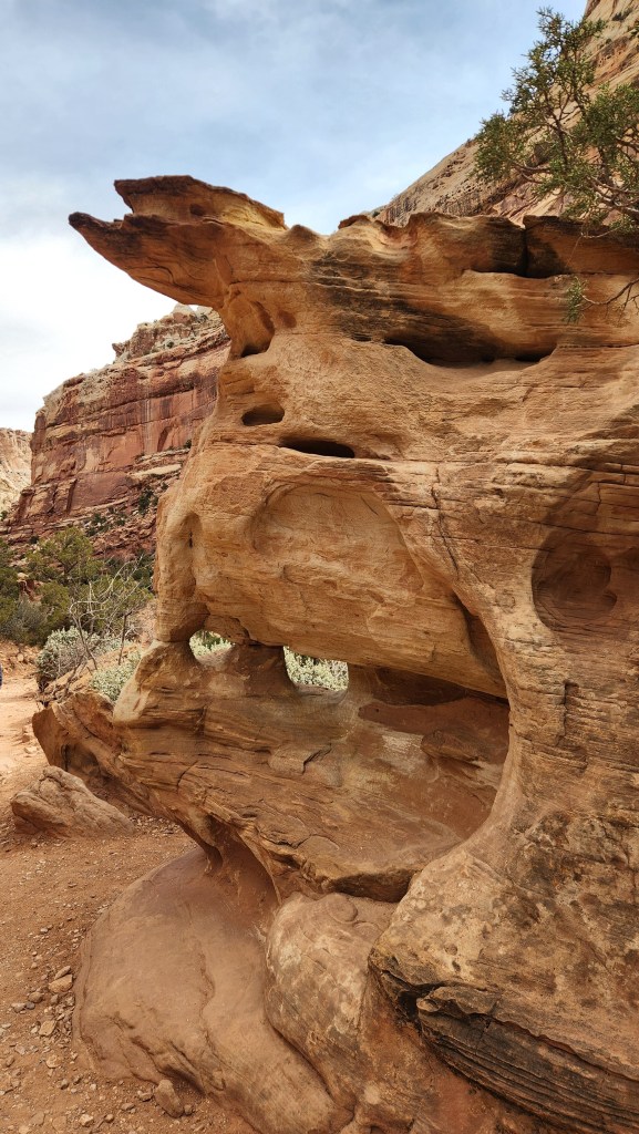
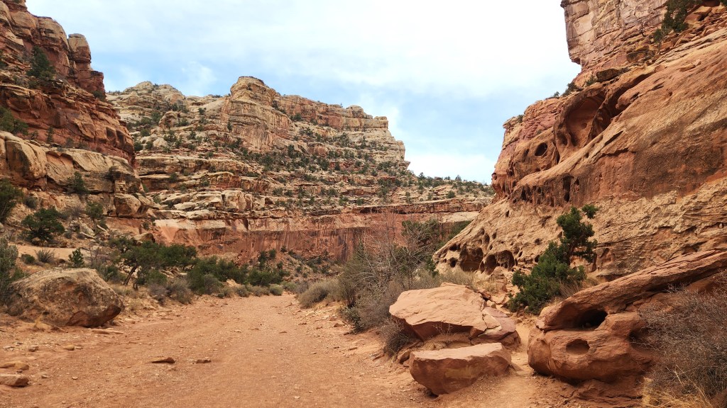
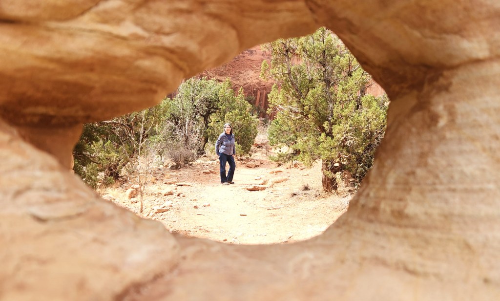
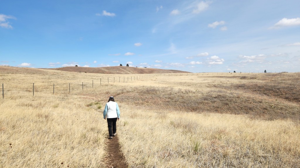
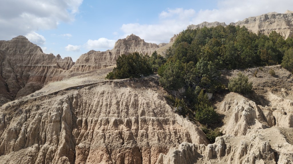
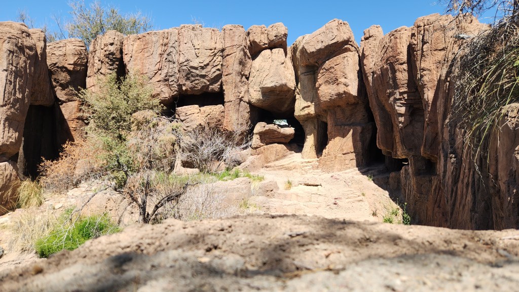
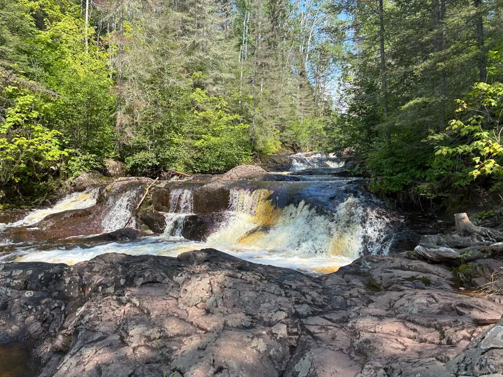
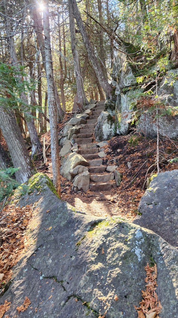
Kadunce River: The Kadunce River State Wayside is located just past Colvill, MN, on Highway 61.
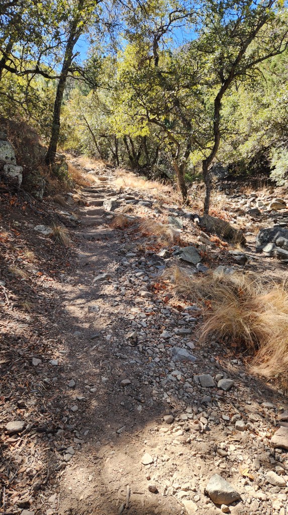
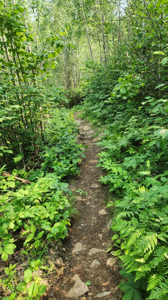
From there, a 0.9-mile spur trail follows alongside the river to a bridge that is part of the Superior Hiking Trail. We have walked along that trail dozens of times over the years. It begins at essentially the same elevation as the river, but then climbs steadily until the river can only be seen in glimpses flowing far below the trail through the adjacent canyon. At the upstream end of a series of some seven or eight waterfalls, however, the trail is again essentially at the same elevation as the river. The walk is quite enjoyable, passing through scenic woods, listening to the birds, glimpsing the river periodically, and then emerging next to a beautiful waterfall at what we call “decision point.” (If you want to hear the backstory for that, I’ll be happy to regale you in person with an epic tale, or you could read the book Snowman, whose climactic scene was inspired by the very tale I’m talking about.) At any rate, Pat took the photo and video below on August 11th.
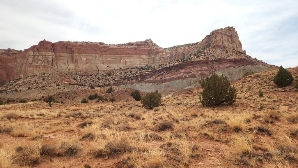
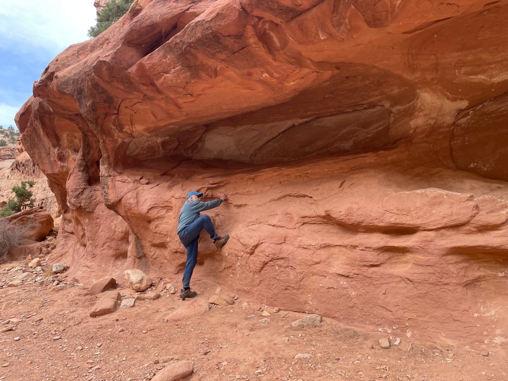
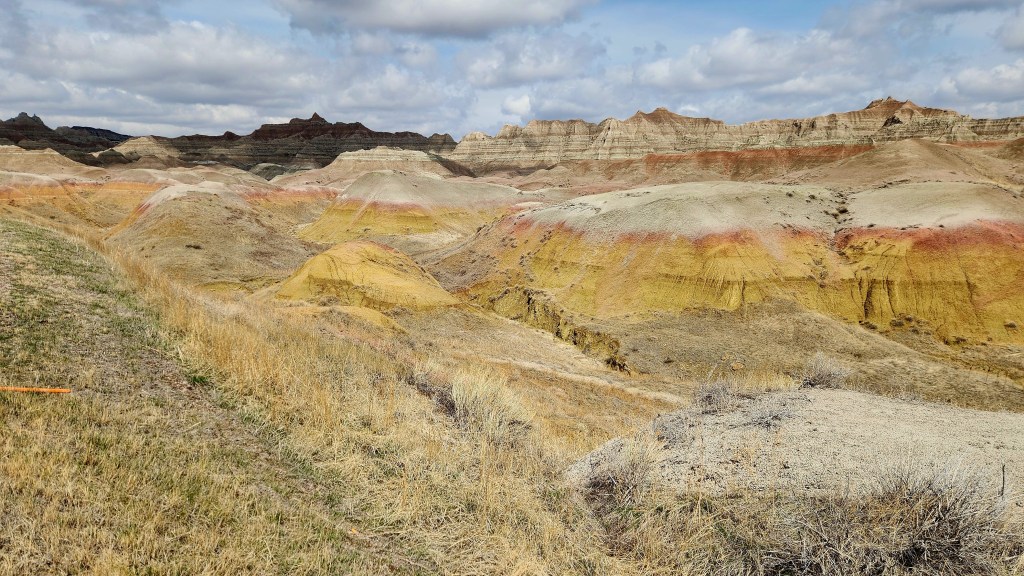
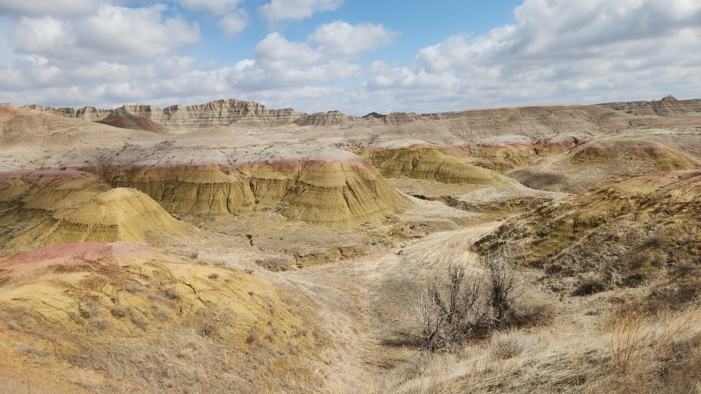
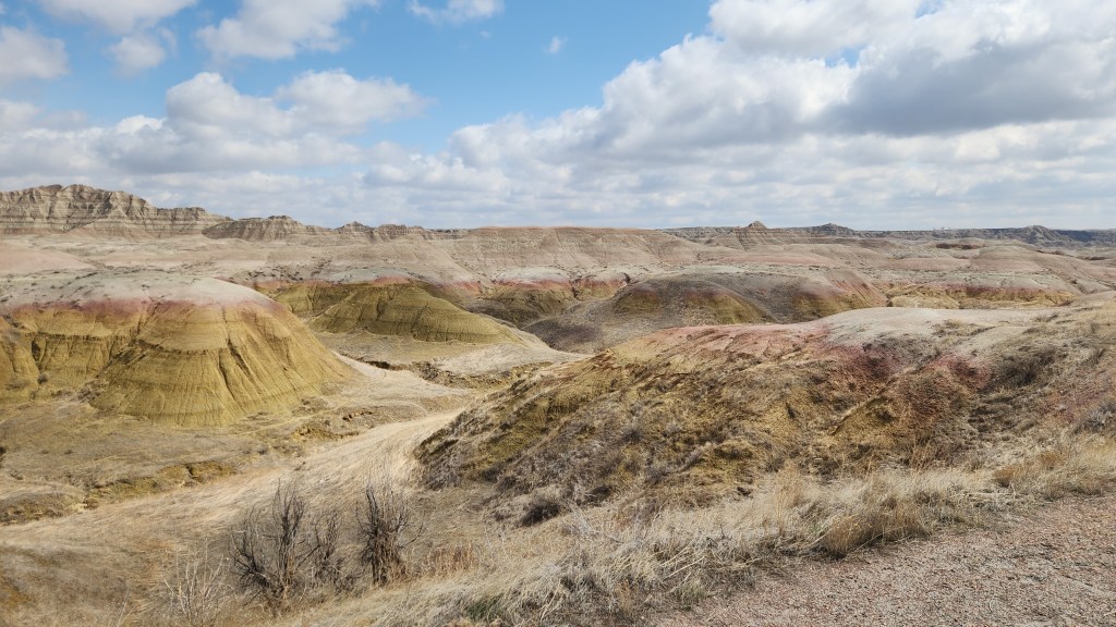
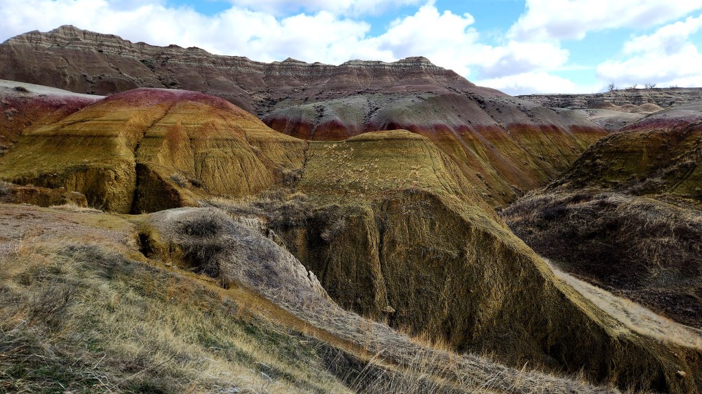
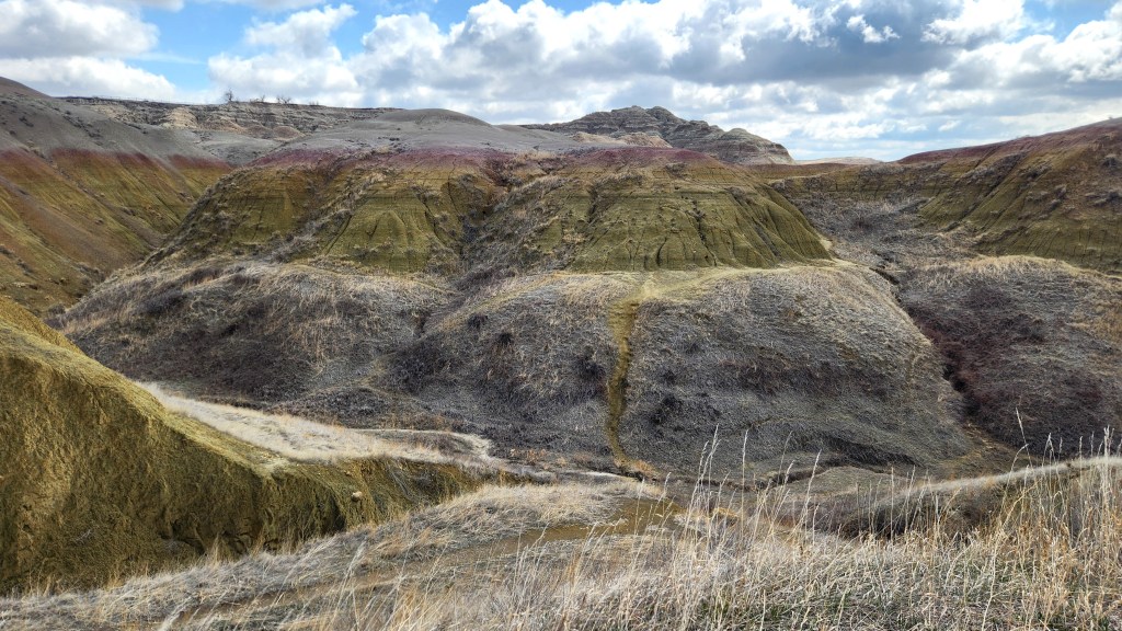
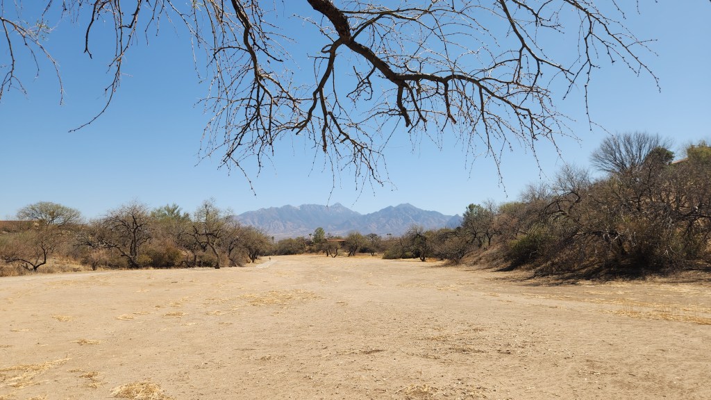
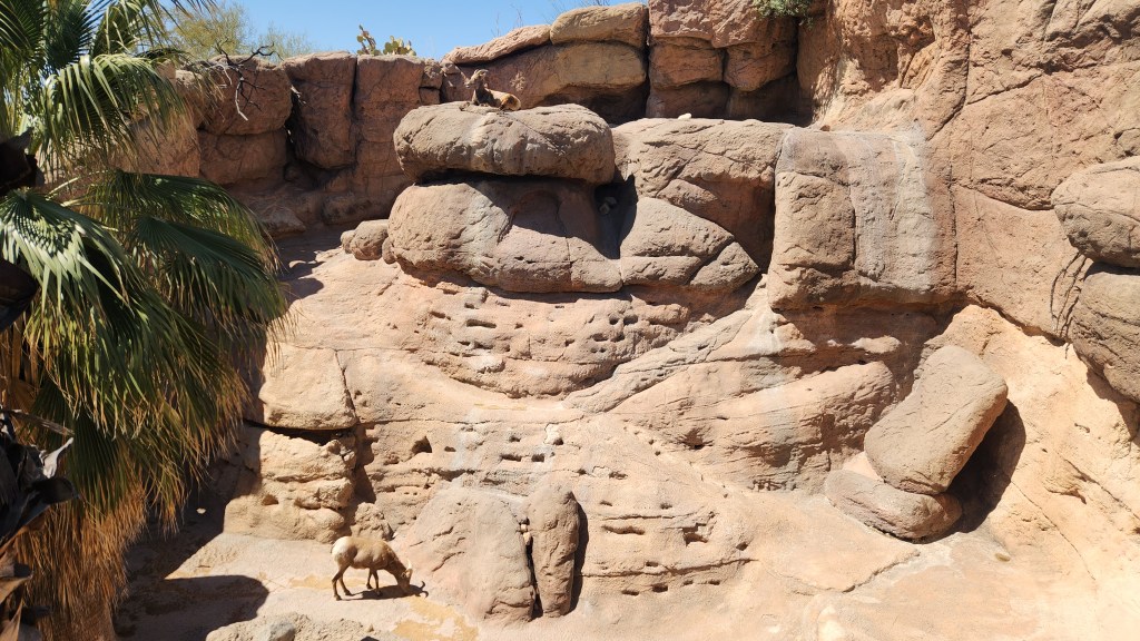
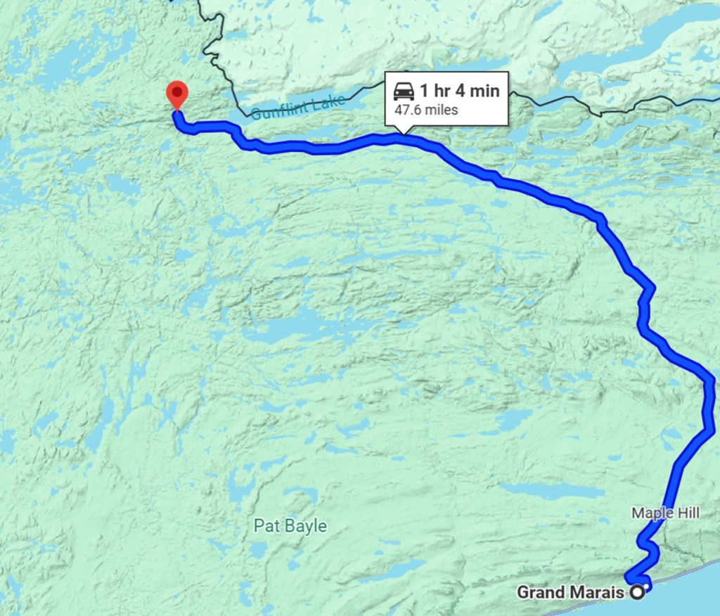
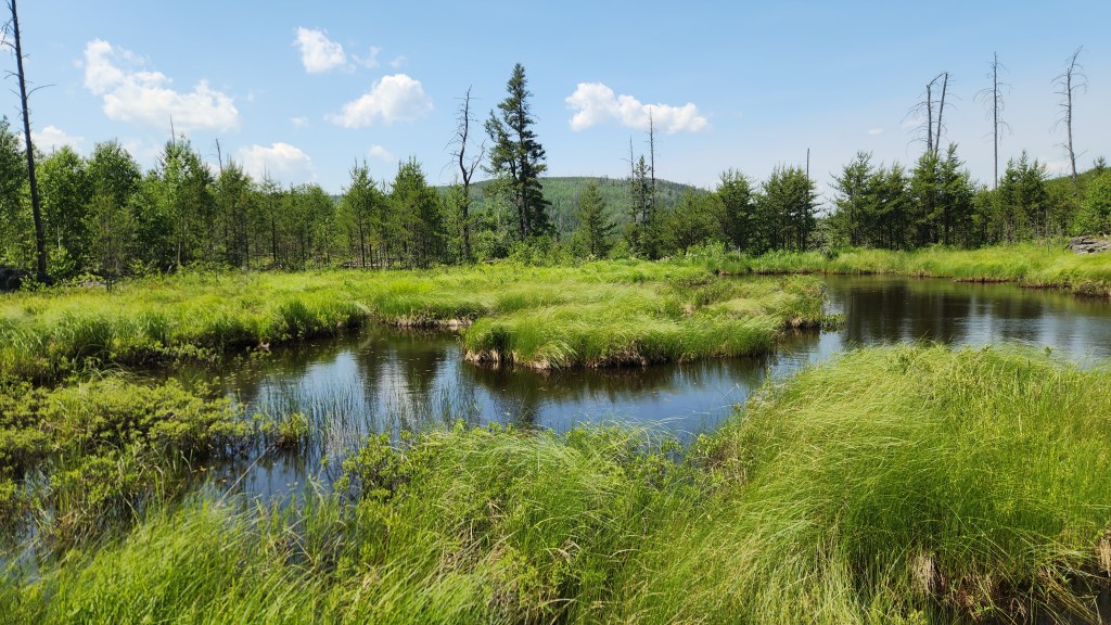
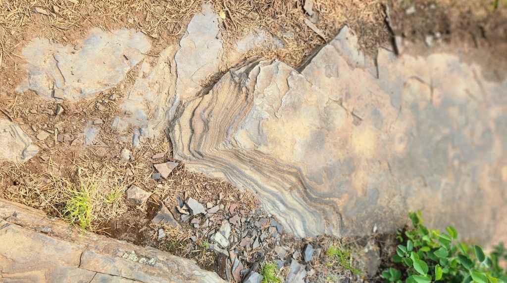
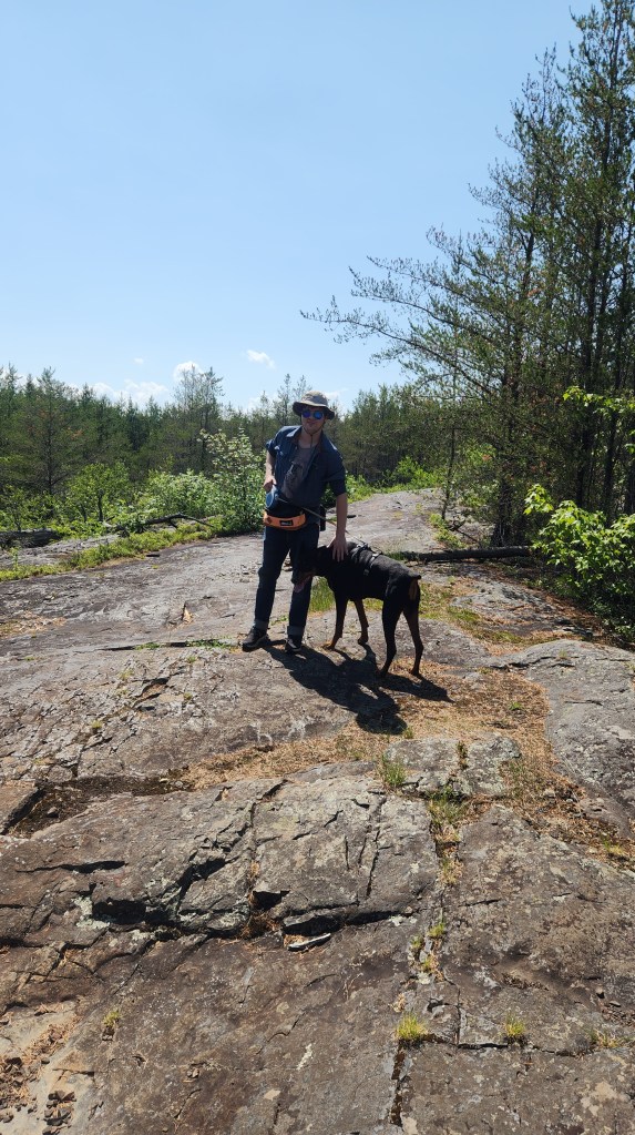
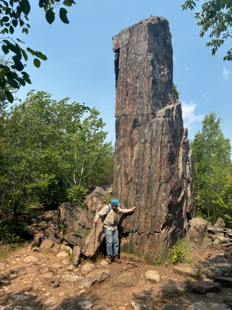
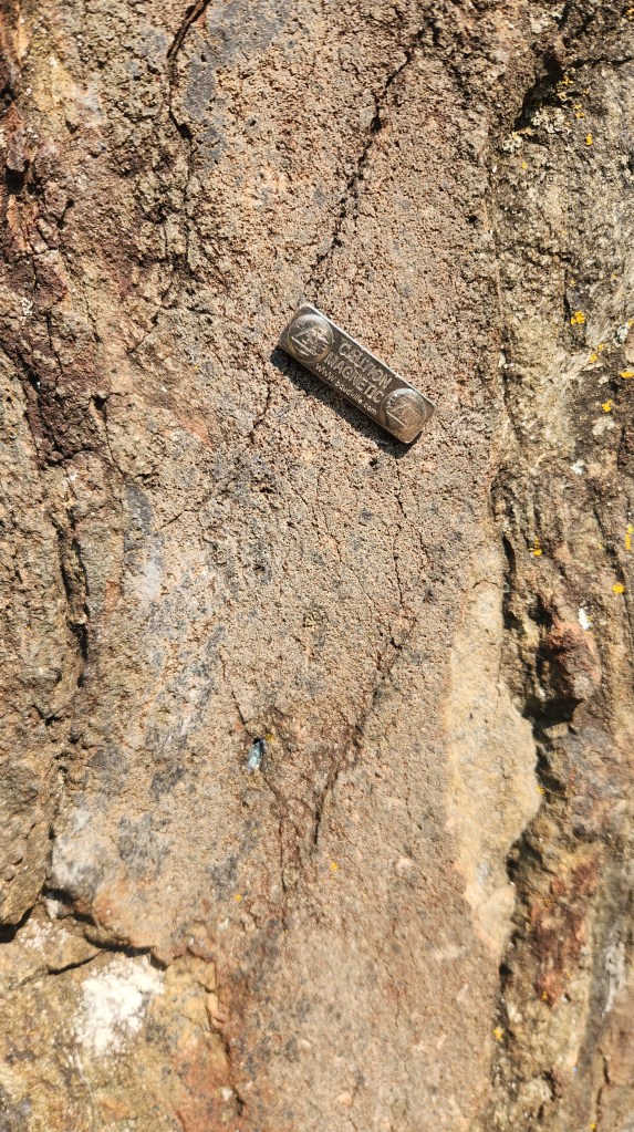
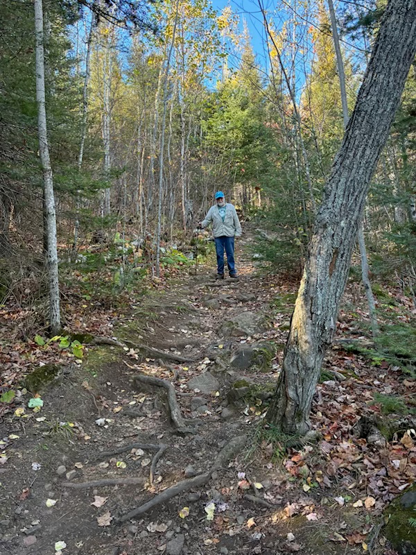
Magnetic Rock: The Magnetic Rock Trailhead is located 47.6 miles from Grand Marais, MN, on the Gunflint Trail. From there, a 3-mile trail passes through a diverse landscape – over bare and/or lichen covered rocks, through open meadows, through thickly forested areas – to a monolithic rock protruding from the earth.
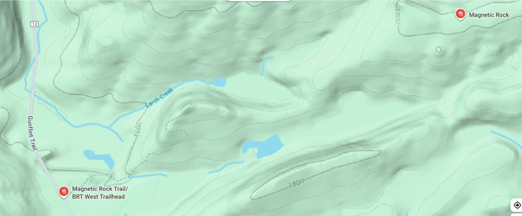
The rock contains so much iron that it can distort a compass needle to give a false indication of true north. We’ve probably walked this trail ten times or more over the past thirty-five years. The surrounding vegetation was severely damaged by fire in 2007, and we saw it begin to regenerate very quickly over the subsequent years until it is now almost at its pre-fire condition. There are still charred remnants of trees visible in some areas, though they are not readily noticeable. If the timing and climatic conditions are right, you can find quite a few blueberries along the trail. This year we went there with son Brian and his dog, Pippin, on July 1st, and there were no berries. Pippin nearly got heat stroke, so Brian stopped about halfway along and helped his pet back to the trailhead, but Pat and I made it all the way to the rock and back in two and a half hours. Here are some photos.

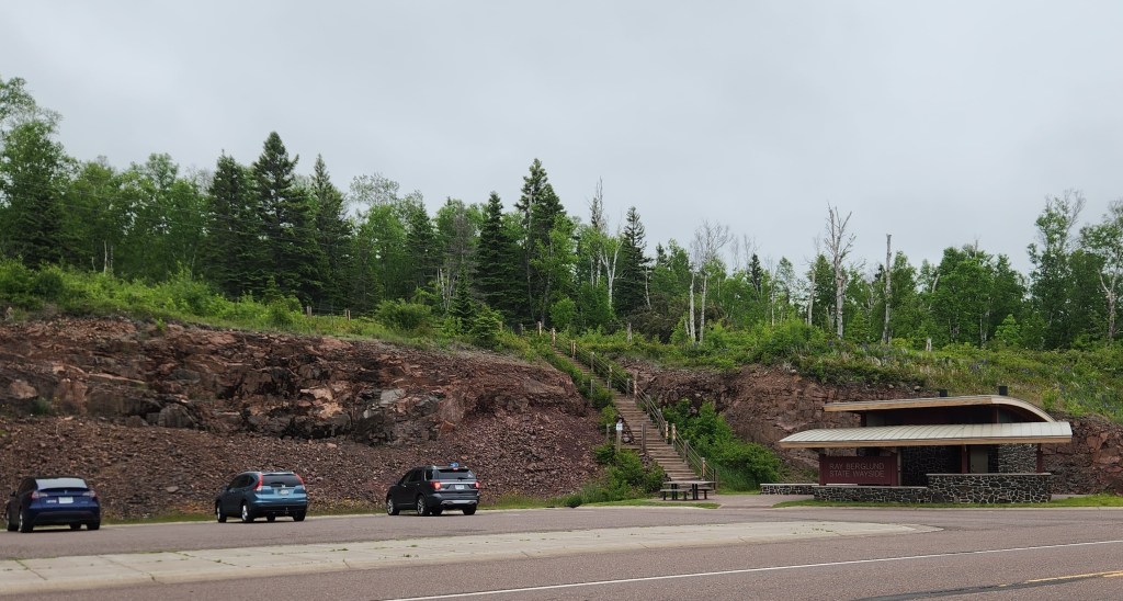
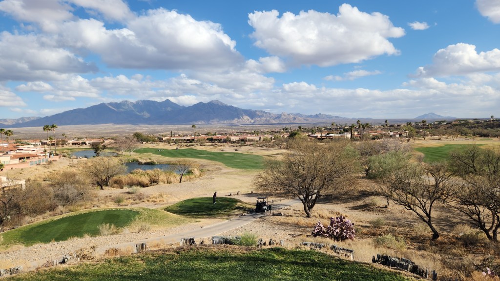
Pigeon River High Falls Overlook: The Grand Portage State Park, located on Highway 61 about a mile from the US-Canada border, is jointly operated by the State of Minnesota Department of Natural Resources and the Grand Portage Band of Lake Superior Chippewa.
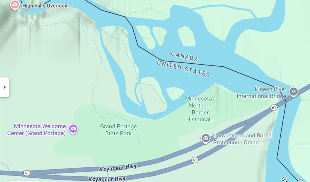
It includes a very easy, paved walking path from the Visitor Center to the High Falls Overlook. The High Falls can also be reached from the Canadian side of the border, but the view isn’t as good from there. The State Park is only a 36-mile drive from the Summer Sanctuary, so we manage to visit once or more every year. This year, we visited on August 2nd.

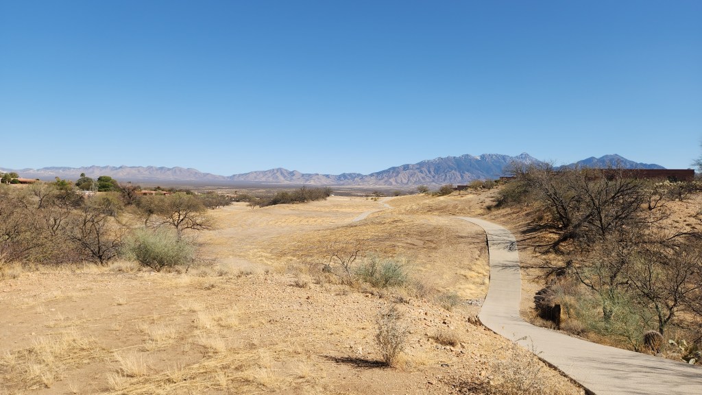
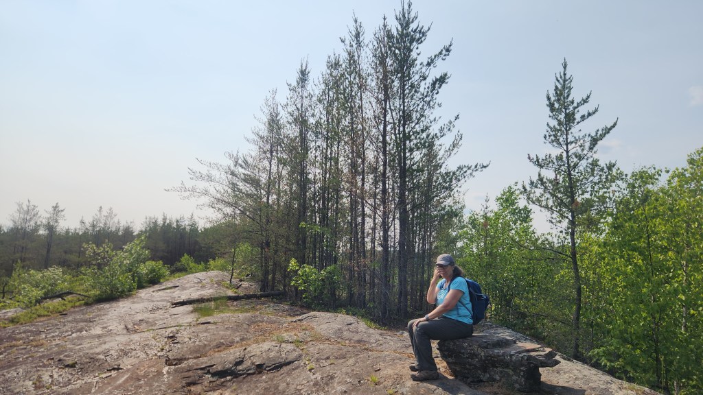
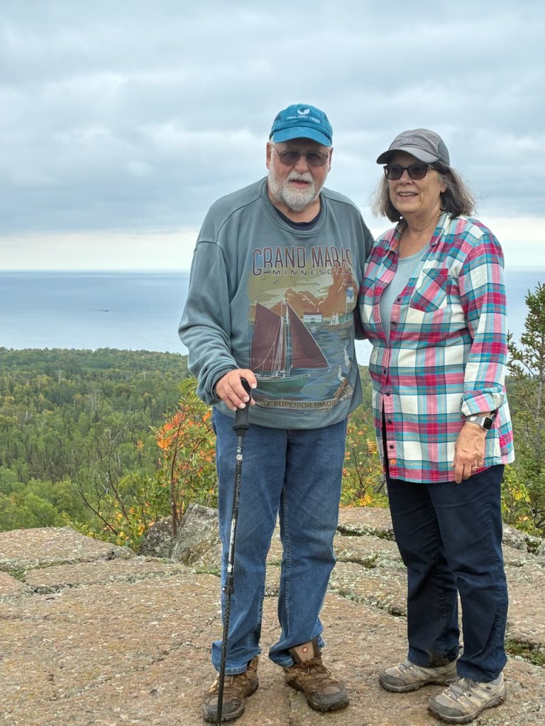
Pincushion Mountain: The Pincushion Mountain Overlook is accessible via a three-mile drive from Grand Marais up the Gunflint Trail. From the parking lot at the overlook, there are multiple trails that lead to Pincushion Mountain, which we have walked many times over the years. This year, we walked on the Superior Hiking Trail for 4.5 miles to the Pincushion Summit on September 20th. While there, a friendly hiker snapped our picture, with Five Mile Rock on Lake Superior barely visible in the background.
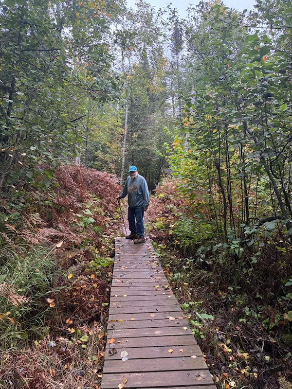
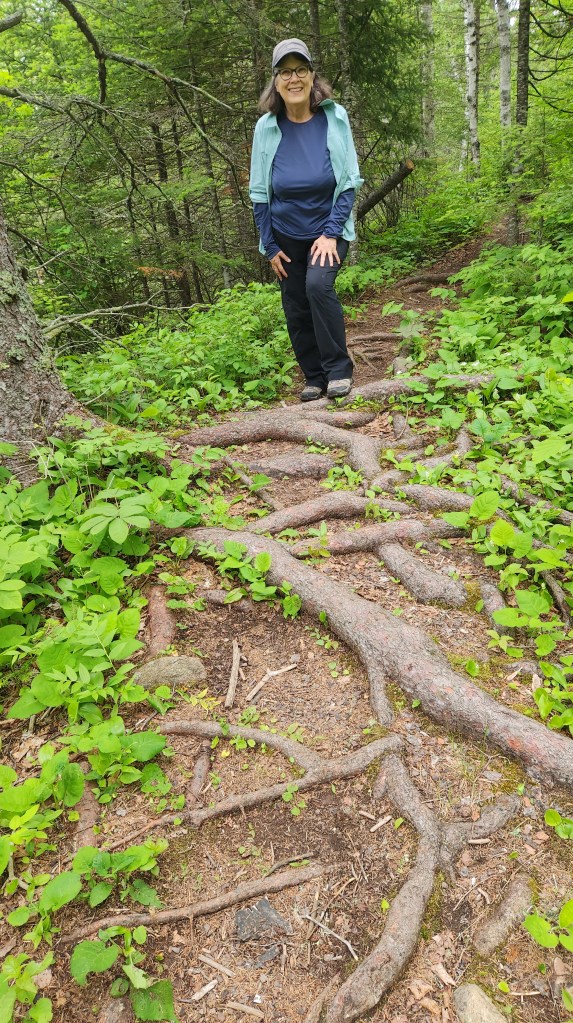
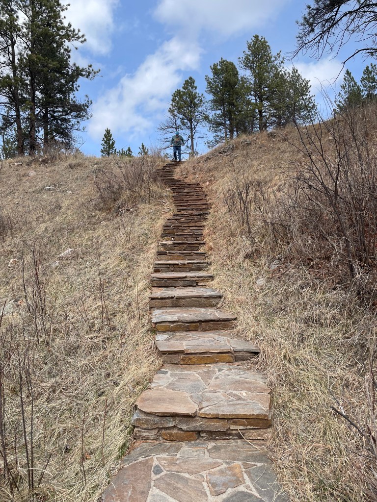
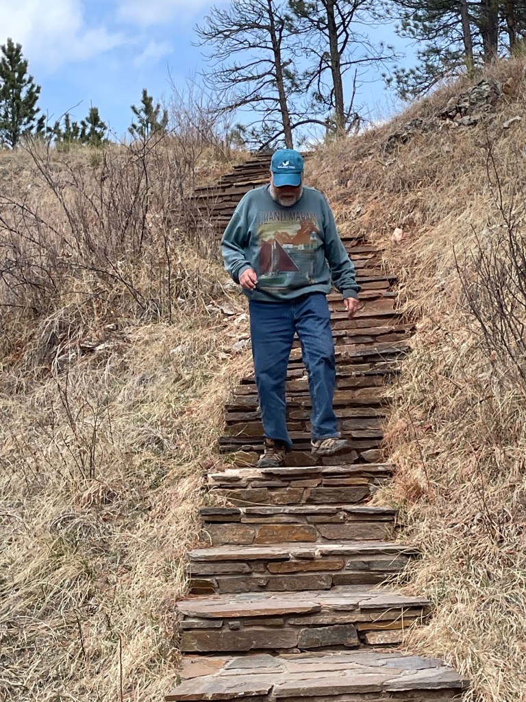
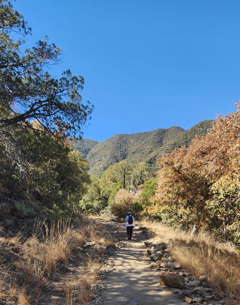
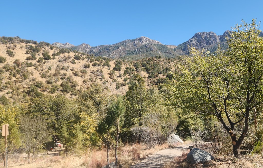
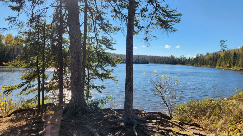
Lake Agnes and Lutsen Mountains: This was our last hike of the season, on October 10th. After driving southeast on Highway 61 to the Caribou Trail near Lutsen, MN, then north about 3.2 miles to a trailhead for the Superior Hiking Trail, we embarked on a 2 ½ mile round trip hike to a campground on Lake Agnes.
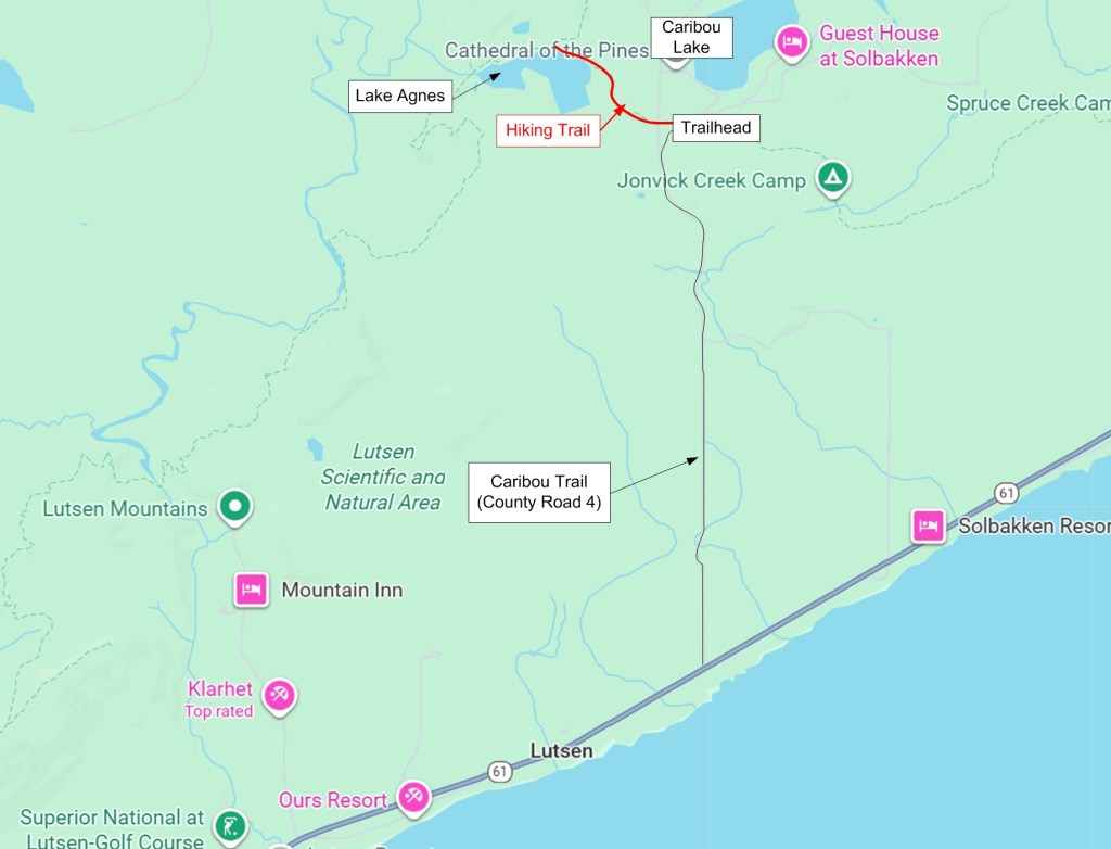
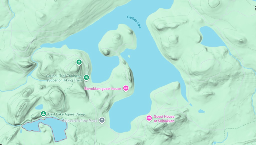
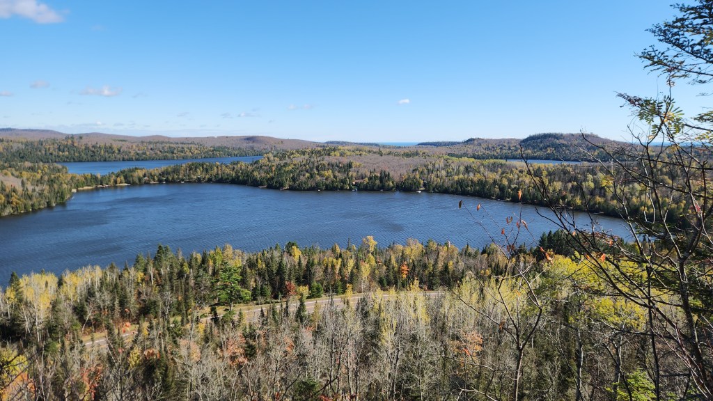
The hike started out with a steep, rocky climb to a short spur trail which led to what is known as White Sky Rock, an outcropping that provides a spectacular view of Caribou Lake.
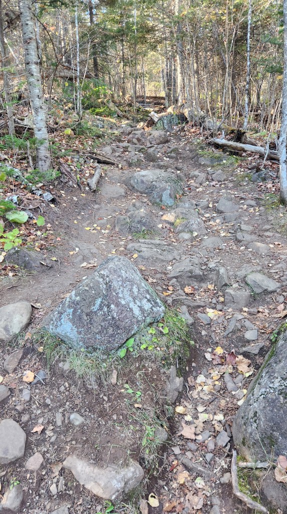
After taking in the view from White Sky, we returned to the Superior Hiking Trail and headed west to Lake Agnes. The trail was surprisingly diverse – sometimes rugged and rocky, sometimes easy; sometimes forested, sometimes surrounded by steep bluffs and rock outcroppings.
The trail hugged the northern shore of Lake Agnes as we headed to The East Lake Agnes Camp, where I had camped once (with son Brian, brother-in-law Andy, and nephews Chris and Dan) some fifteen years ago, at which point we turned around and headed back to our car parked at the Caribou Trail trailhead. I would rate this hike among the best we’ve ever had on the North Shore due to the diversity I mentioned above.

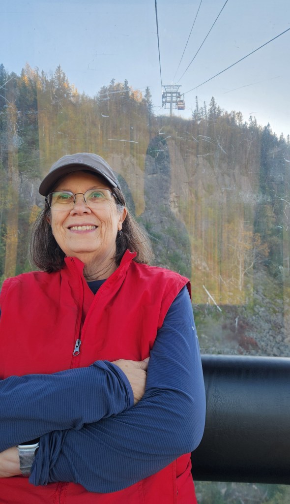
After the hike, we took a short drive to Lutsen Mountains to ride the gondola up to top of Moose Mountain, where we enjoyed the beautiful views.

Canada: We also made a few forays into Canada, as we usually do each year. (We like the fact that our Summer Sanctuary is so close to our northern neighbor, so that if we ever decide we can no longer tolerate the disgusting manner in which the current United States Government “leaders” are dragging the country, we can quickly escape to a place where we feel safer and more welcome. Not that I wish to inject politics into my travel blogs, but sometimes it’s just hard to cope.)
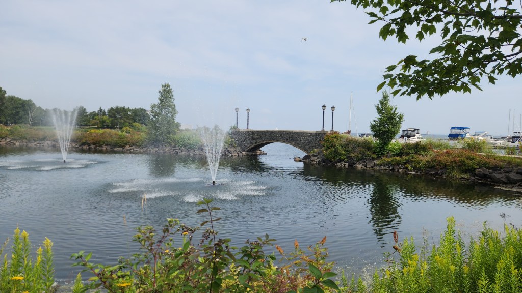
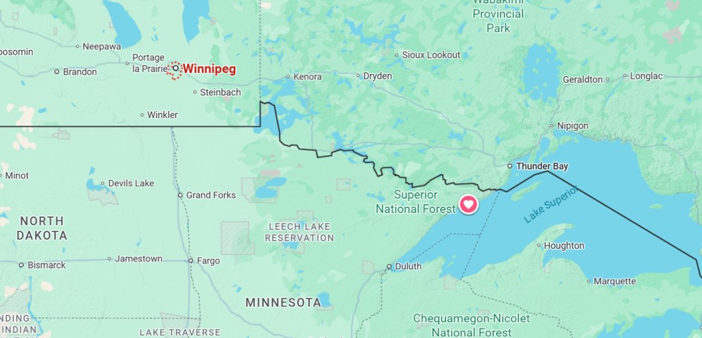
Thunder Bay, Ontario, Marina: Pat and I made our annual summer visit to Thunder Bay, Ontario, on August 8th this year. Thunder Bay is located 75 miles northeast of the Summer Sanctuary via MN Highway 61 and Canadian Highway 61.
As usual, we went to the Algoma and Bay “Finntown” neighborhood to visit the Finnish Bookstore, the Finnport shop, and the Cheese Encounter store. Unfortunately, the Hoito Hose Restaurant reconstruction has ground to a halt, with only a large foundation waiting sadly for a future recreation of the iconic landmark following its total destruction in a fire several years ago. We continue to wait with hope in our hearts. We also stopped at the Thunder Bay Marina for a nice lunch at the Bight Restaurant and a stroll around Marina Park.
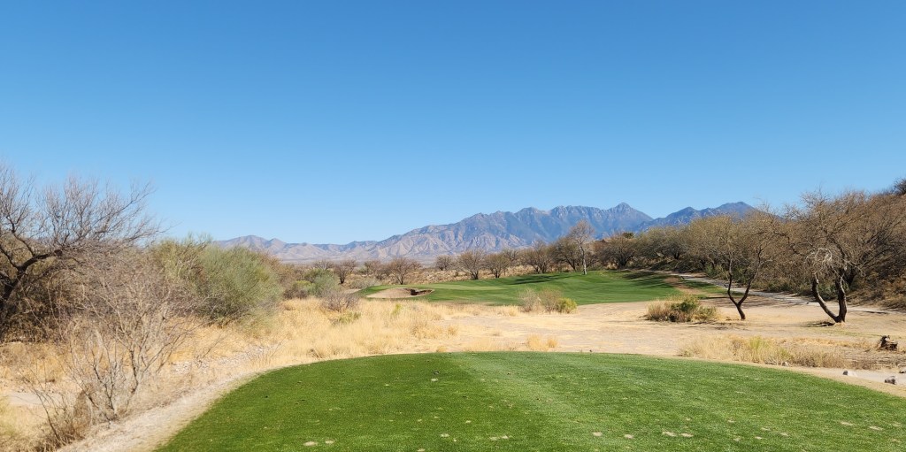
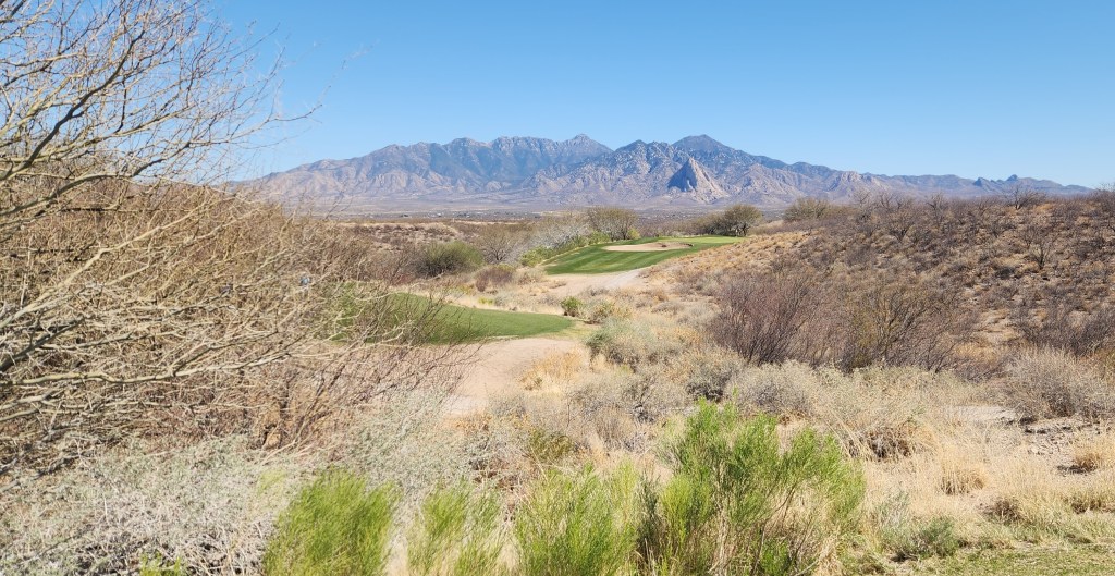
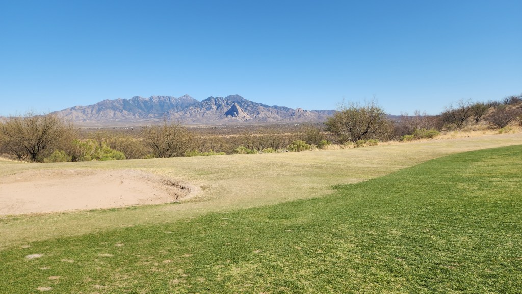
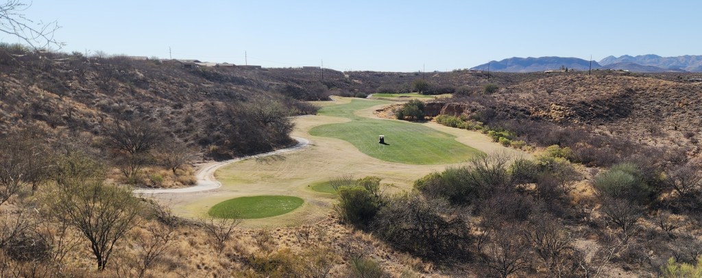
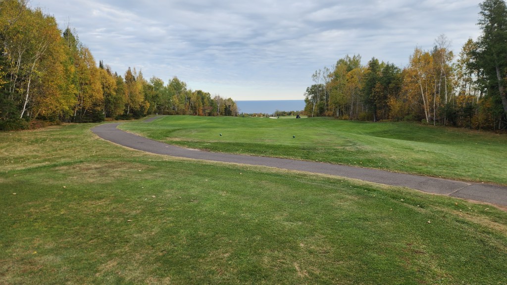
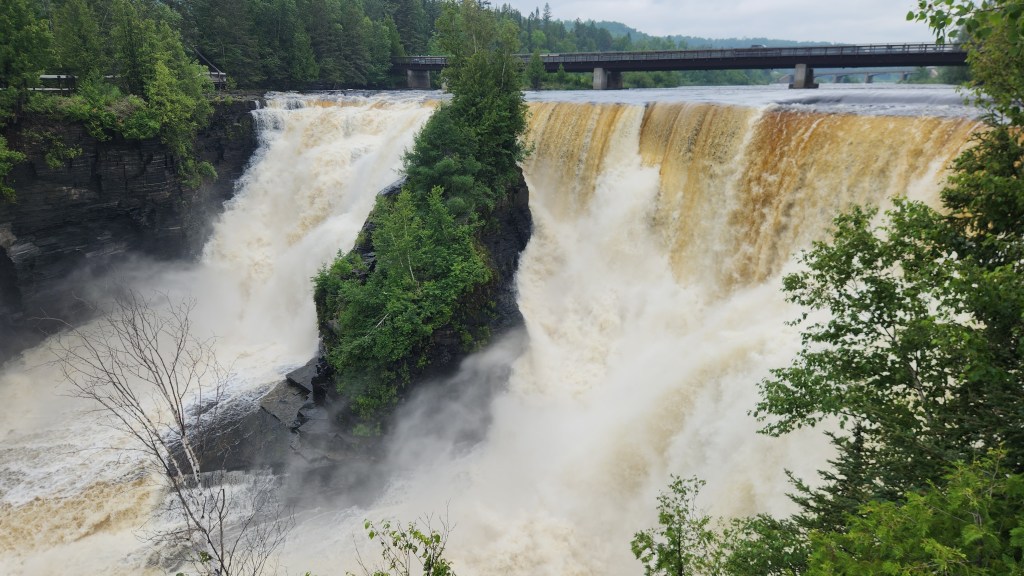
Kakabeka Falls, Ontario: This 130-foot-high waterfall on the Kaministiquia River is a fairly frequent stop for us when we venture up north to Thunder Bay, but this year Pat didn’t go there at all, and I only made one quick stop with my frequent golf partner after we played at the nearby Whitewater Golf Club on July 15th. I always feel a thrill when observing the awesome power of the thunderous water, and perhaps readers will feel the same way as they check out the following.
Winnipeg, Manitoba: As our final foray of the season, we decided to visit Winnipeg, Manitoba, departing from Minneapolis on October 4 and returning to the cabin on October 7. We’ve discussed going to check out Winnipeg several times over the years, but had never seemed to make it happen until this year, when we deiced to emulate the marketers from Nike and “just do it.”
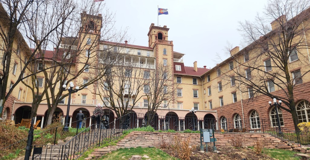
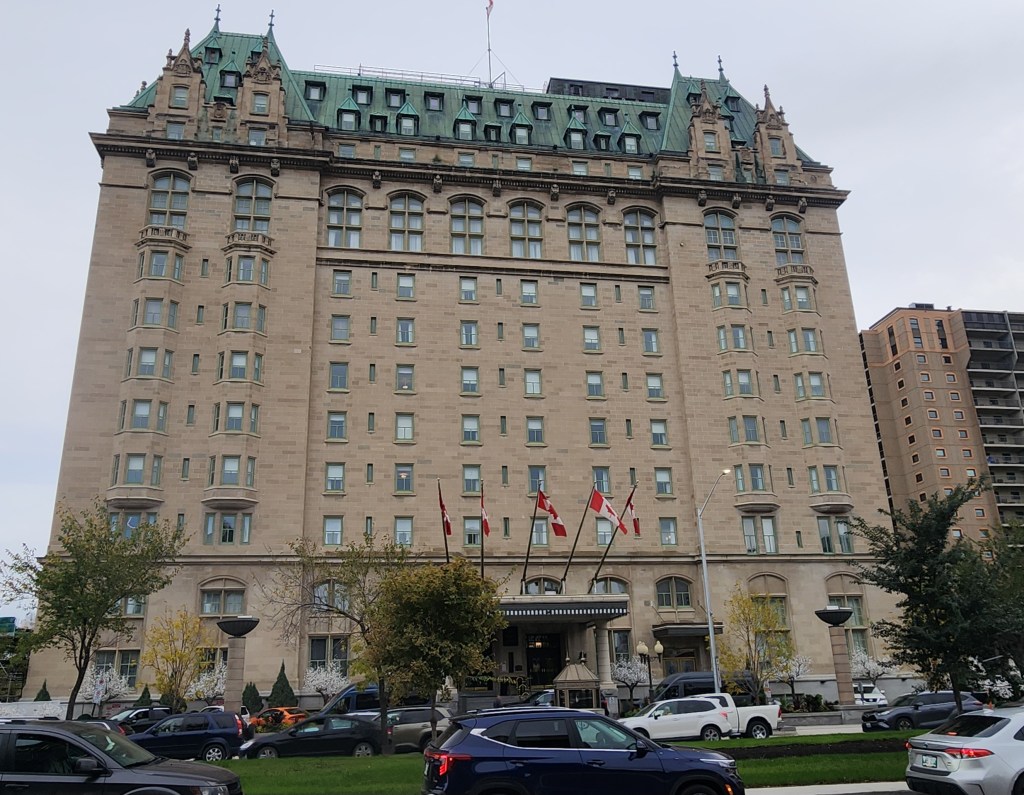
We stayed at an impressive place called the Fort Garry Hotel, Spa, and Conference Centre, built by the Grand Trunk Pacific Railway in 1913 as one of Canada’s grand railway hotels. While there were a few quirky aspects of the place, like an elevator that occasionally decided to do something other than what you had in mind, it was very conveniently located near the places we wanted to visit.
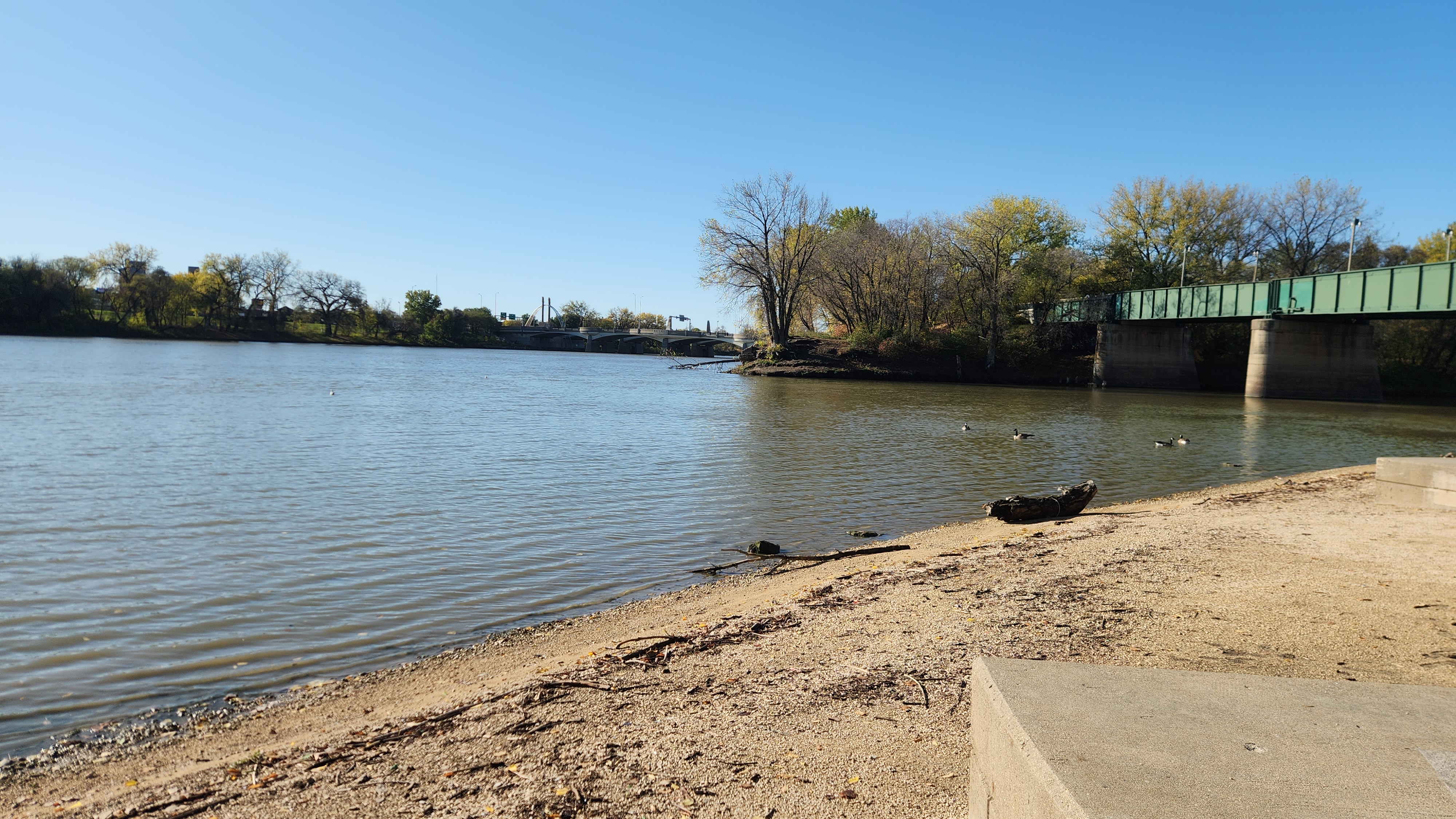
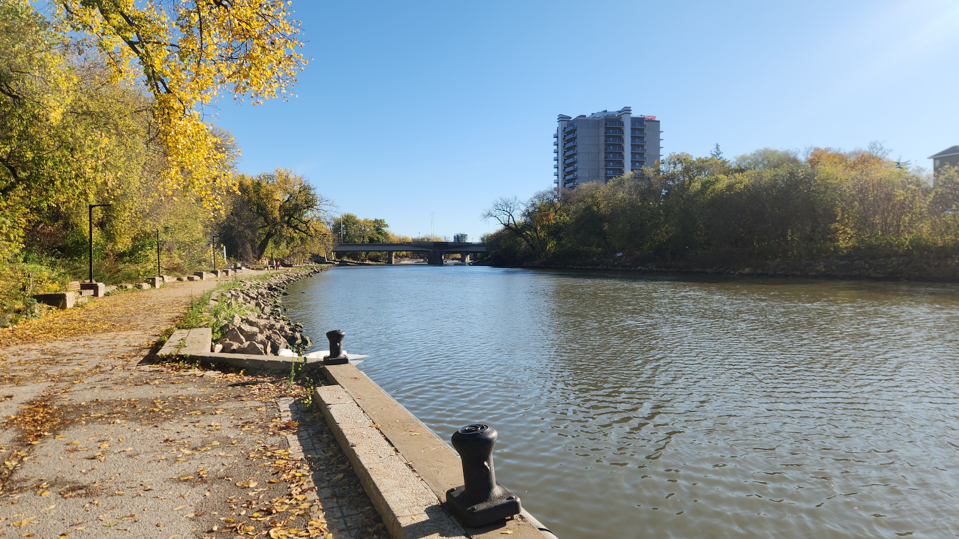
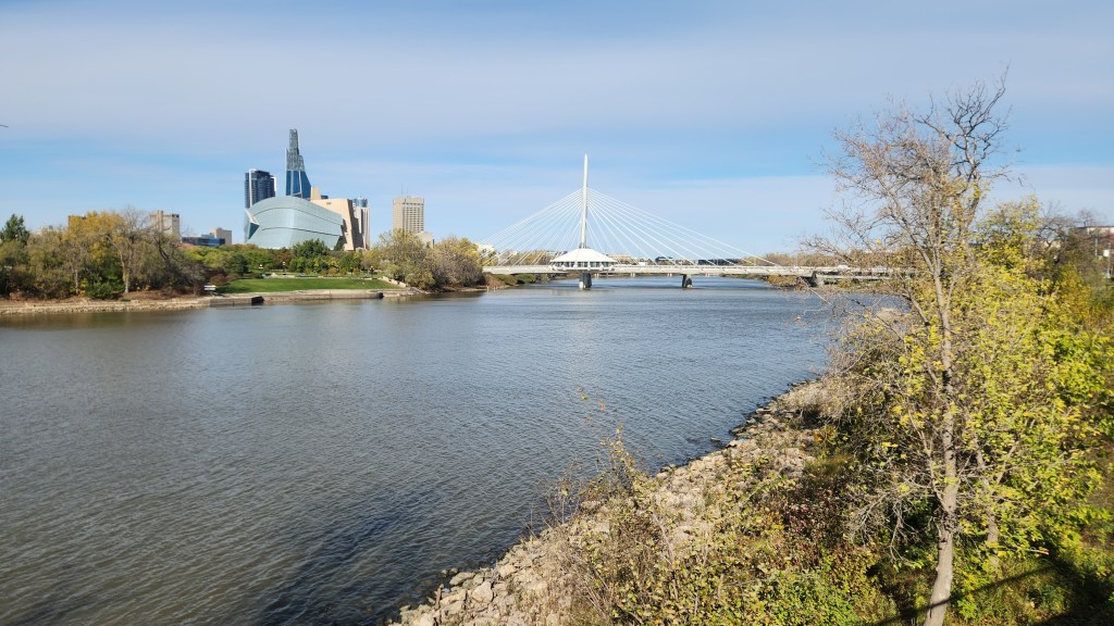
First, a bit of history. The confluence of the Assiniboine River and the Red River, known as The Forks, is located within the city of Winnipeg. The Forks was a focal point for canoe river routes travelled by Aboriginal peoples for thousands of years before the arrival of European traders and settlers. Populated by First Nations peoples, the area was used for camps, hunting, fishing, trading, and (further north) agriculture. The rivers linked the Assiniboine, Ojibway, Anishinaabe, Mandan, Sioux, Cree, Lakota, and others for trade and knowledge sharing.
The Red River flows north from the confluence of the Bois de Sioux and Otter Tail Rivers near Wahpeton, ND, and Breckenridge, MN and empties into to Lake Winnipeg, which then drains into Hudson Bay via the Nelson River. This made The Forks a natural place for the indigenous people to supply firs to the Hudson’s Bay Company which, along with British colonialists, laid claim to the entire Hudson Bay drainage basin, including what is now Winnipeg, in the late 17th century. However, French traders worked the area for the rival Montreal-based North West Company decades before the first English traders arrived in about 1767. During these years, various French and British forts were built in the area to facilitate operations of the rival fur companies.
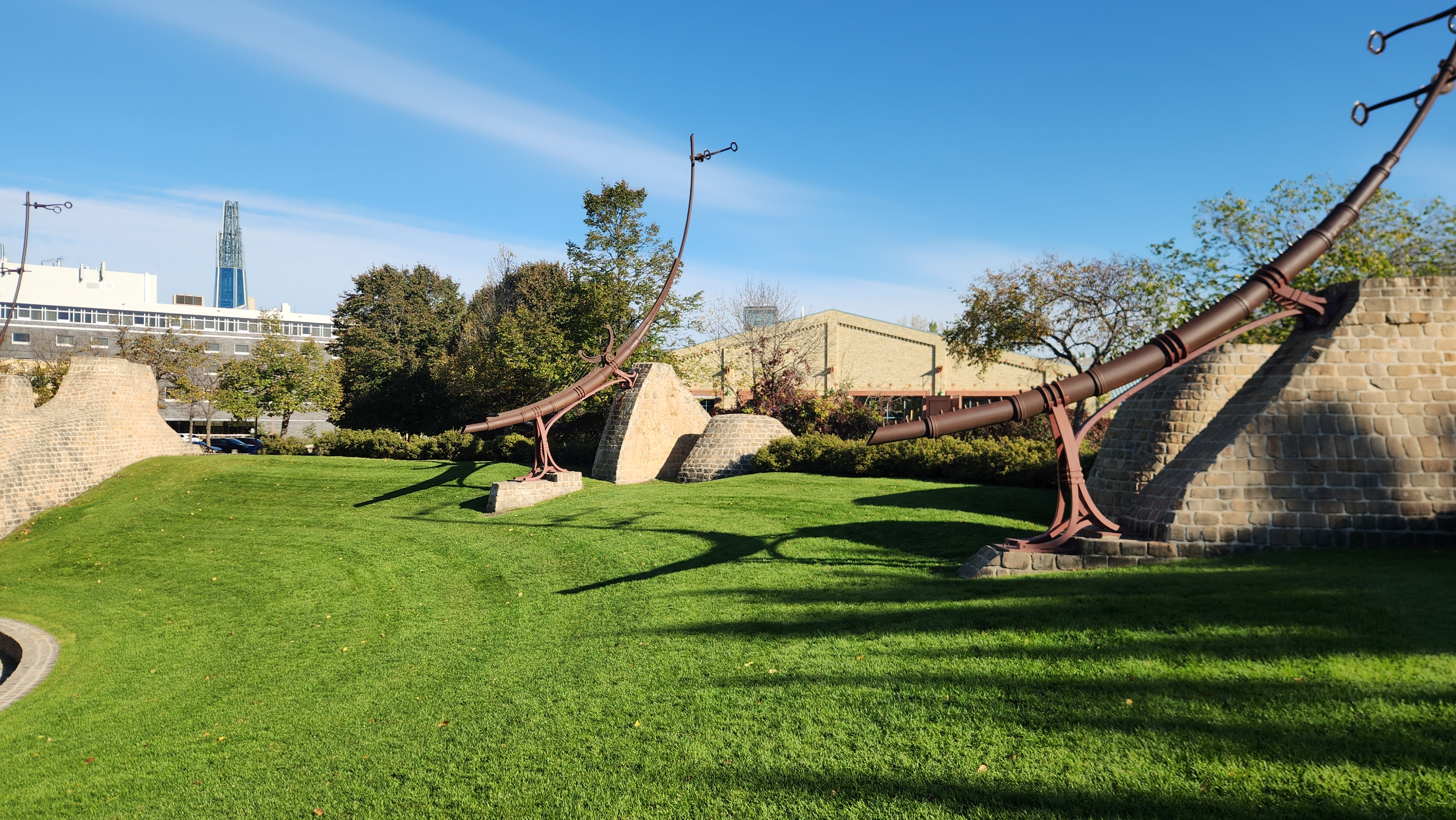
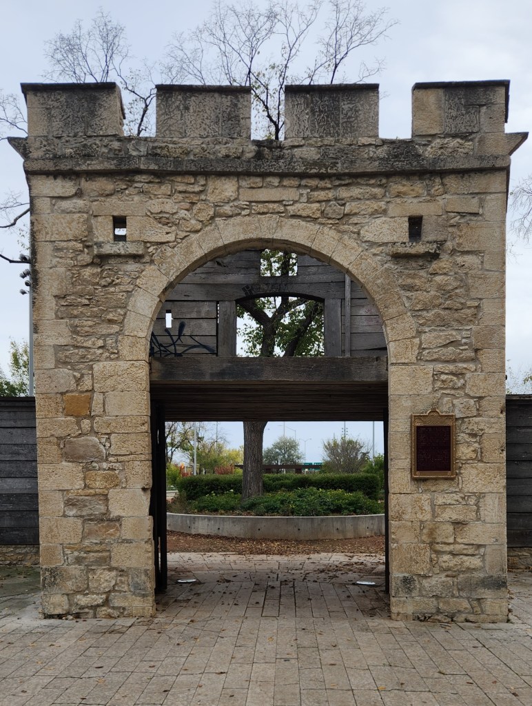
In 1811, Scottish aristocrat and humanitarian Thomas Douglas, Earl of Selkirk, received a grant of 116,000 square miles in the basins of the Red and Assiniboine Rivers from the Hudson’s Bay Company, which he named Assiniboia, and established an agricultural settlement populated by displaced Scottish Highland families and retired Hudson’s Bay Company workers. The Red River Colony (or Selkirk Settlement) was founded in 1812 and built Fort Douglas a short distance upriver from Fort Gibraltar, the area headquarters of the North West Company. The two fur companies fought several battles for control of the area until the Hudson’s Bay company succeeded in forcing a merger in 1821. Fort Gibraltar was taken over as the Hudson’s Bay Company headquarters in 1822 and renamed Fort Garry. During this period, the Métis, an ethnic group descended from the mixing of indigenous Canadians and European traders, began settling in the Red River Valley. As their numbers grew, the Métis instituted a rebellion against the new federal government imposed by Canadian Confederation in 1867 and eventually established a provisional government under Luis Riel in 1869. During these turbulent times, the Catholic Church beefed up its presence in the area; a Cathedral was bult and the so-called “grey nuns” established hospitals which remain today. Eventually, Riel agreed to have the Red River Settlement join the newly formed Province of Manitoba, and Winnipeg was formally incorporated in 1873. Fort Garry was demolished in the early 1880s to make way for Winnipeg’s Main Street, although the fort’s gate was retained. The site was designated as a National Historic Site in 1924 and stands a mere stone’s throw away from the Fort Garry Hotel.
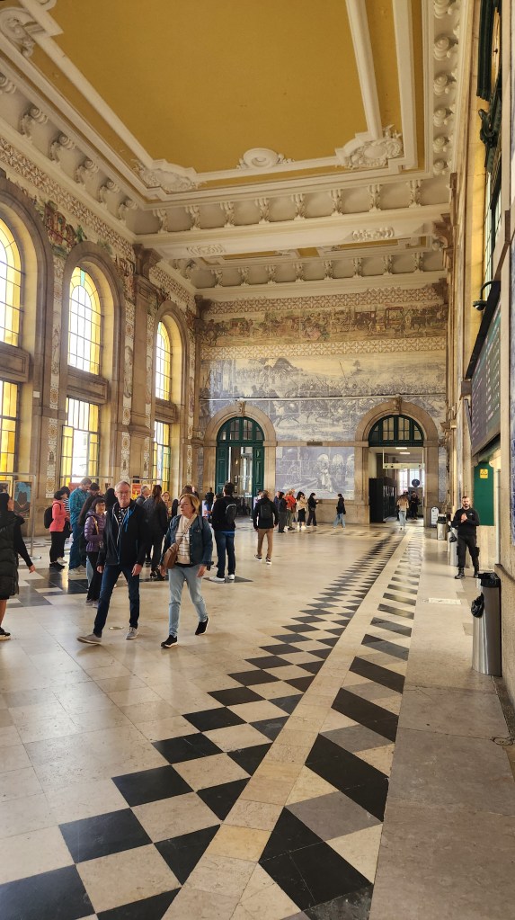
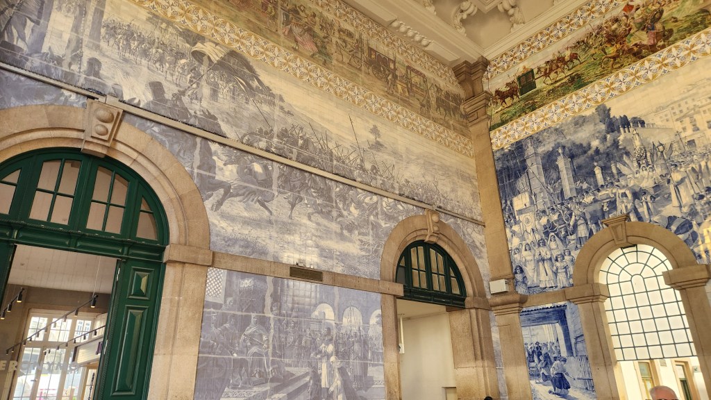
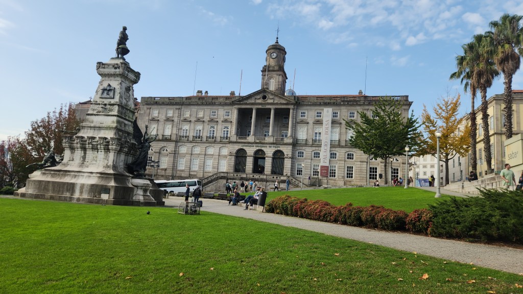
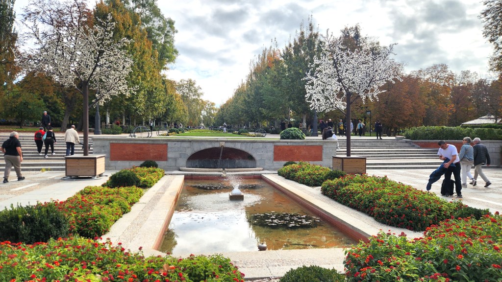
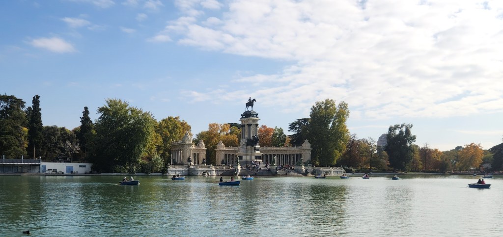
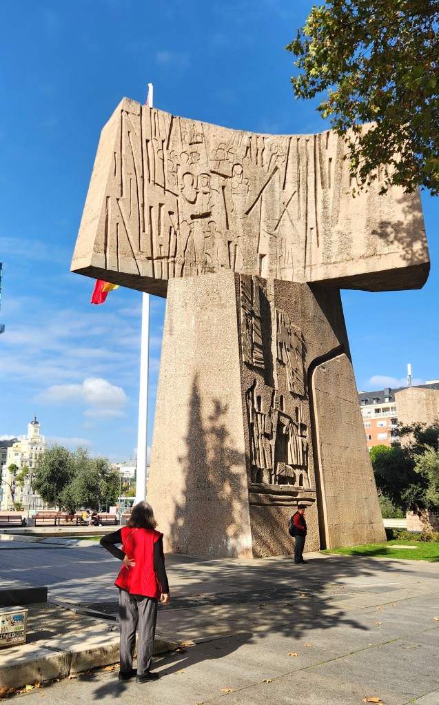
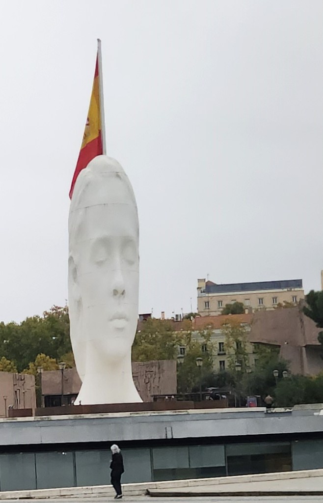
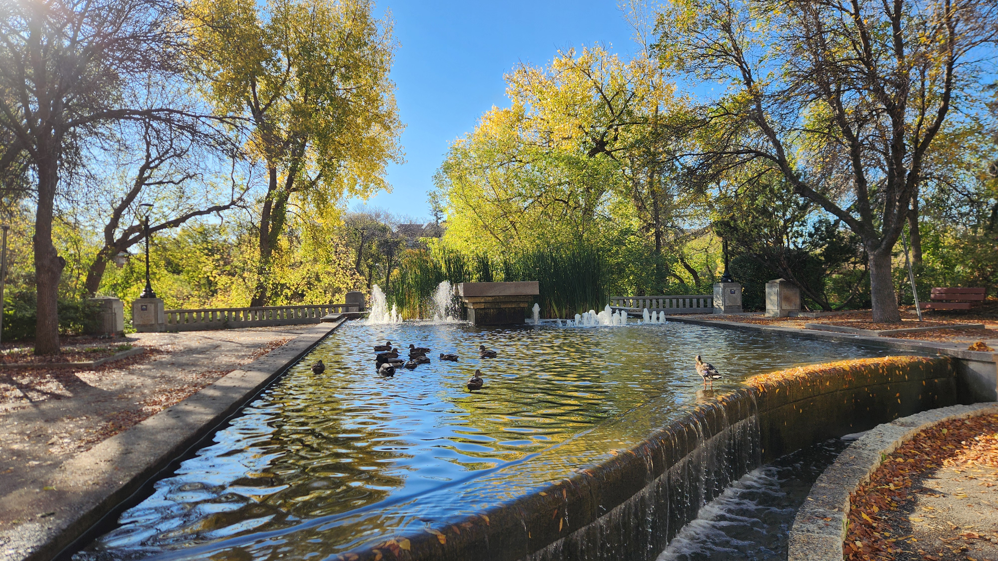
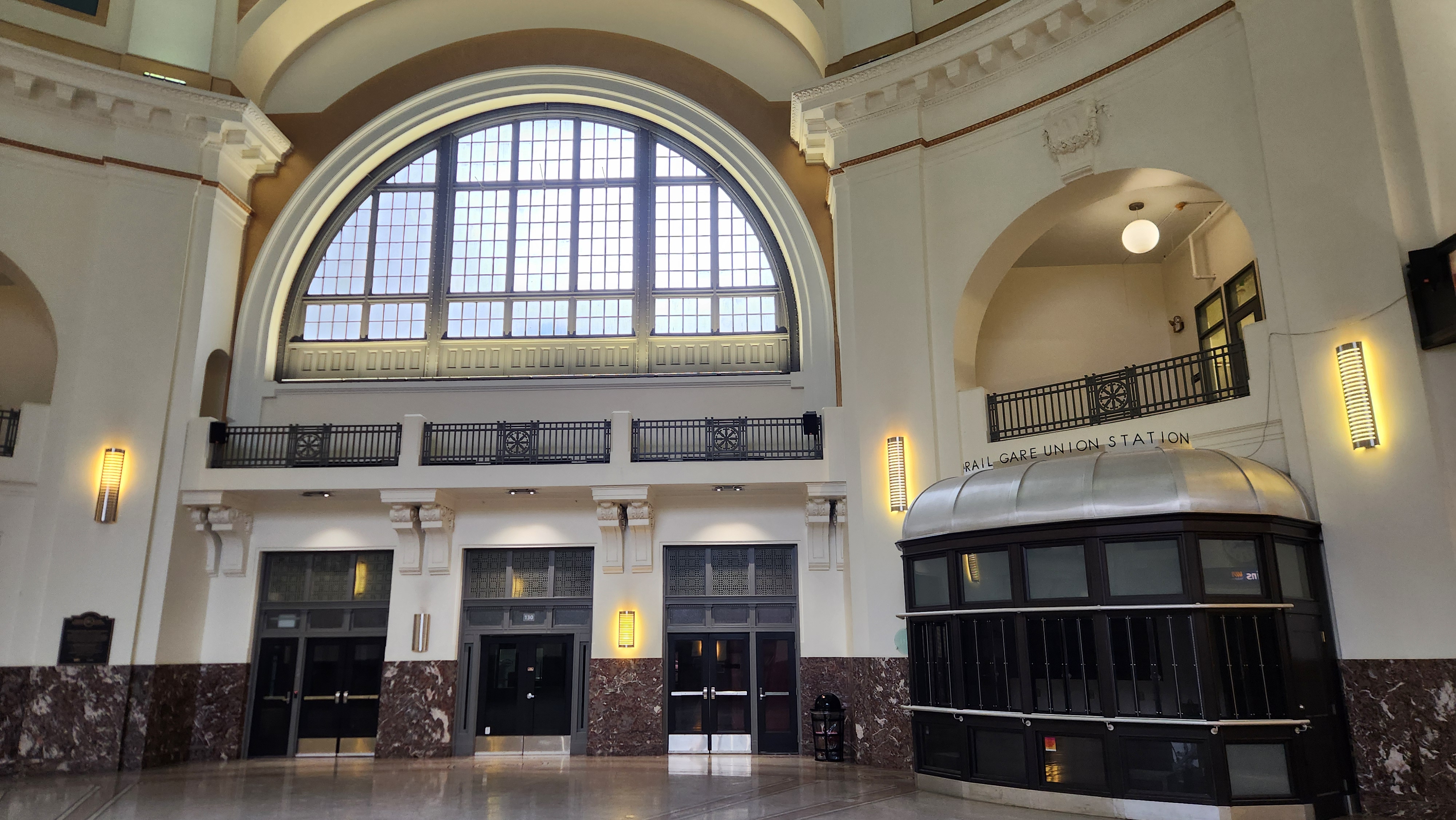
Wow, that was confusing! Sorry I couldn’t condense all that to a more cogent description, but the point of it all was to explain how Winnipeg’s history has resulted in a fascinating collection of various ethnic groups and interesting historical sites. In the two days we spent exploring Winnipeg by foot, we visited The Forks Historic Harbor, The Forks National Historic Site, the French Quarter, the Upper Fort Garry National Historic Site, the Forks Market, the CN Stage and Field, and the Winnipeg Railroad Station, all of which are shown in the photos below.

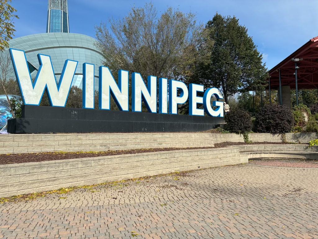

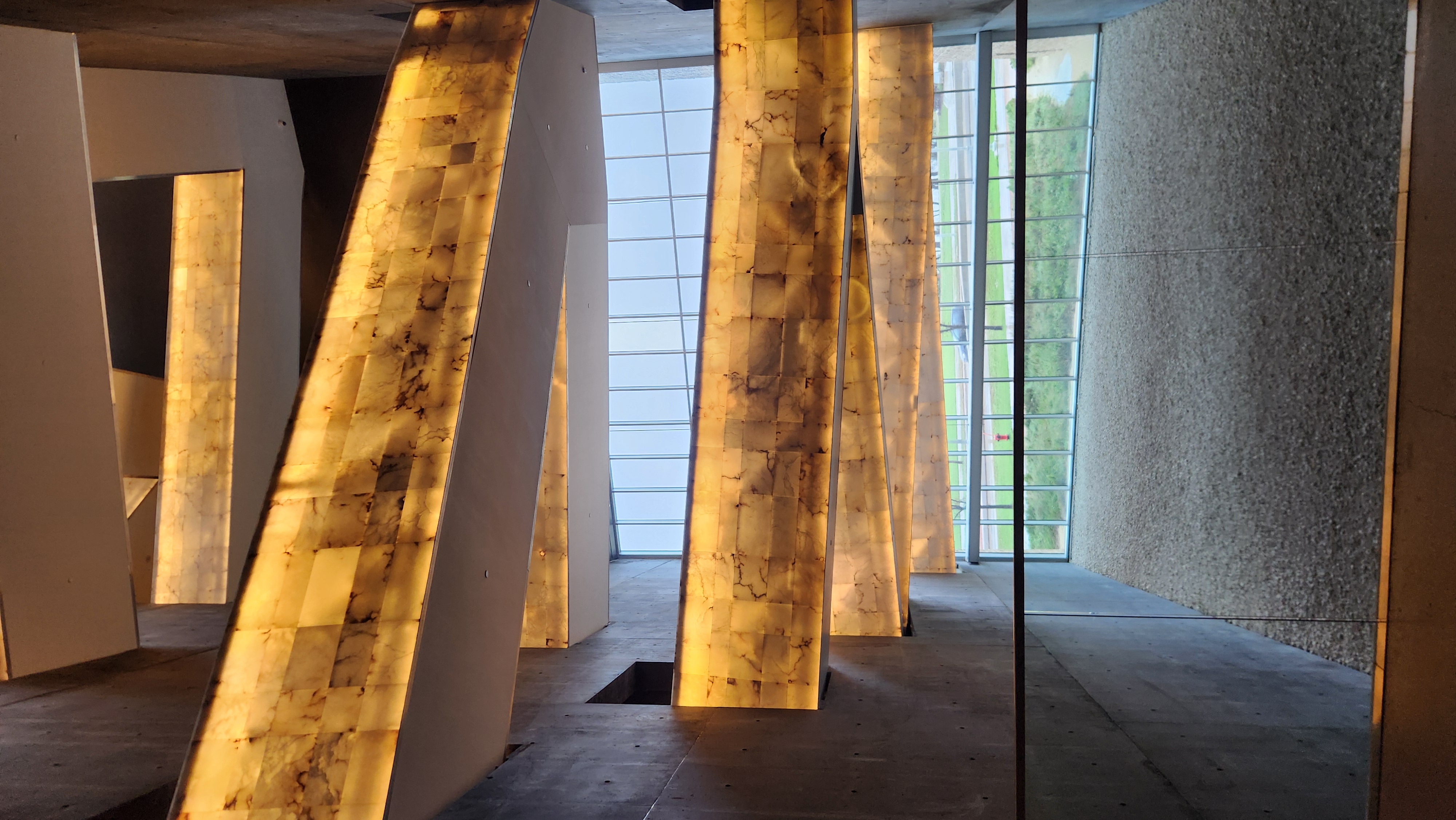
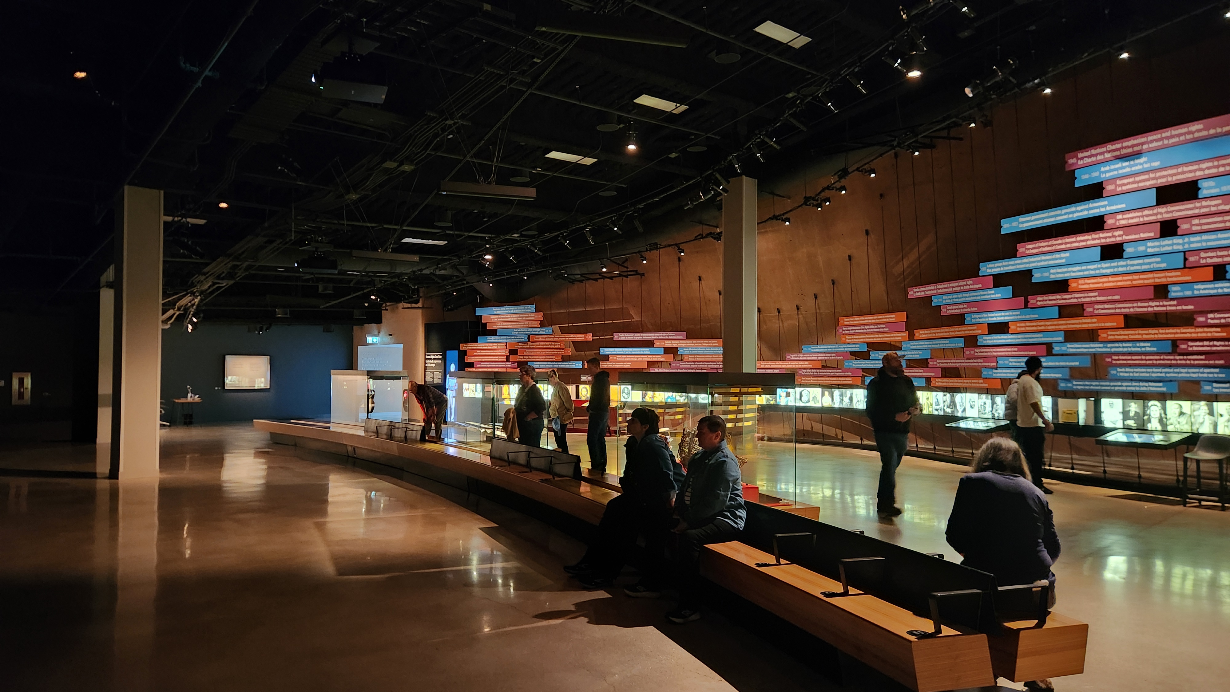
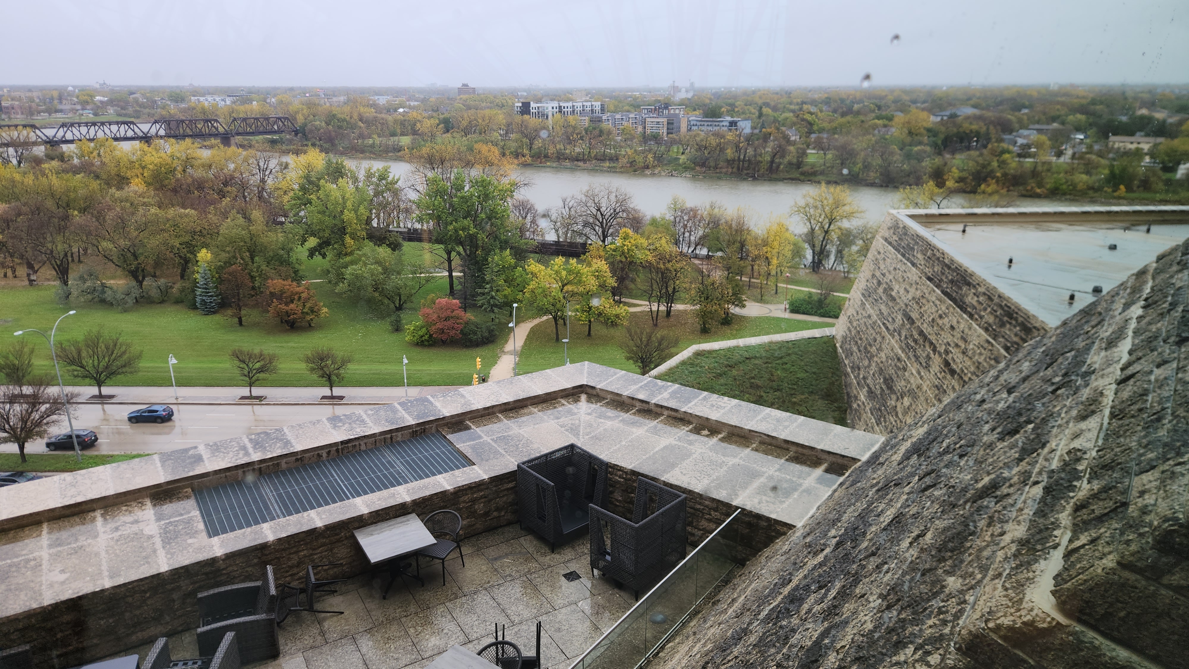
I’ve saved one more Winnipeg site for last – the Canadian Museum for Human Rights. We spent about five hours touring the museum (including lunch at the cafeteria), and if we had stayed another day in Winnipeg we would have gone back again. The building is architecturally stunning, both inside and out, spanning seven floors with multiple display rooms of various shapes and sizes. The floors are linked by angled walkways in a central column. The walkways have translucent alabaster walls. One of the docents told me the idea was that you emerge from the darkness into the light. At the time, I took that to mean from the metaphorical darkness of human wrongs into the light of understanding. The displays documented some of the worst episodes in history – such as the Holocaust and antisemitism in Canada and elsewhere, the forced internment of Japanese Canadian citizens during World War II, discrimination against indigenous Canadians – while highlighting the important steps that have been taken to advance human rights throughout history.

The museum’s Visitor Guide includes this statement:
“This national museum invites you to reflect on human rights in Canada and around the world. It’s a place for people to explore the idea that respect and understanding of human rights can serve as a positive force for change in the world.”
And we certainly did reflect, for a long time after we left the site. I was reminded of the famous quotation paraphrased by Martin Luther King: “The arc of the moral universe is long, but it bends toward justice.” The museum showed that to be true, and in these times when so-called populists are doing their utmost to bend it back the other way, it gave me some hope to cling to.
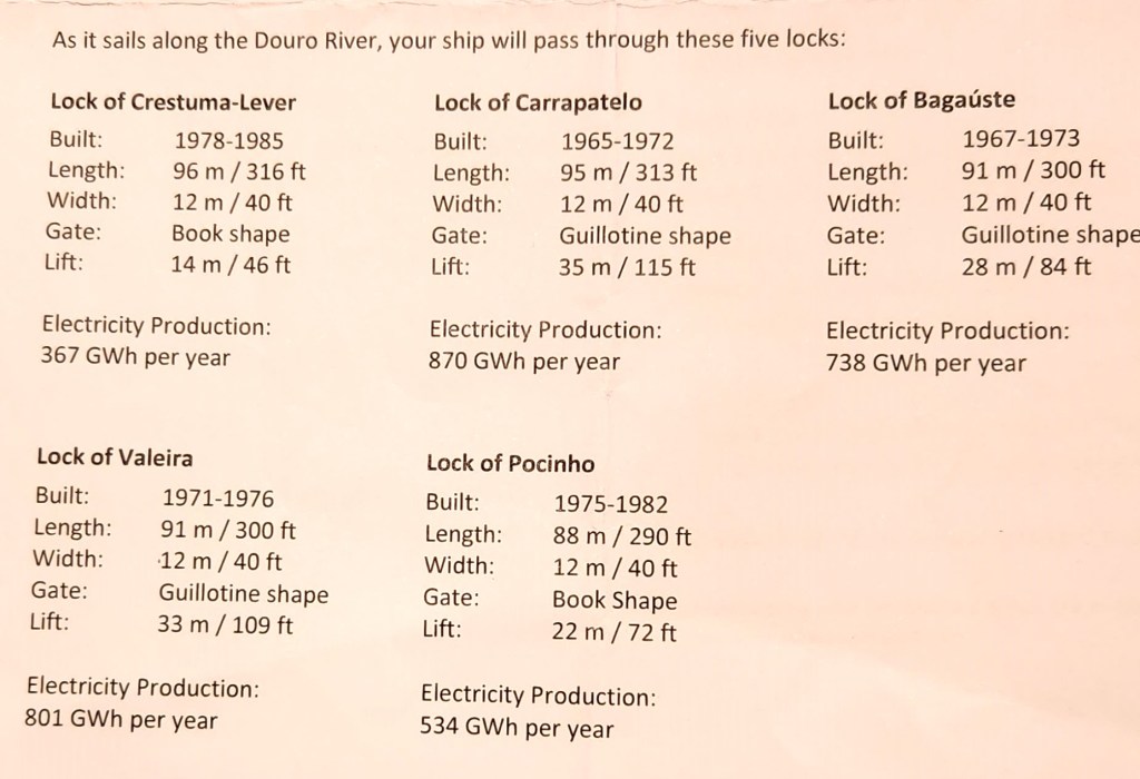
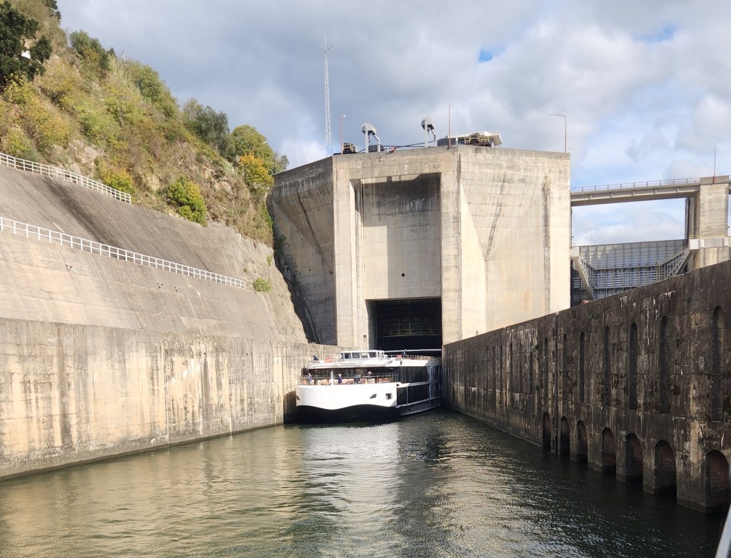
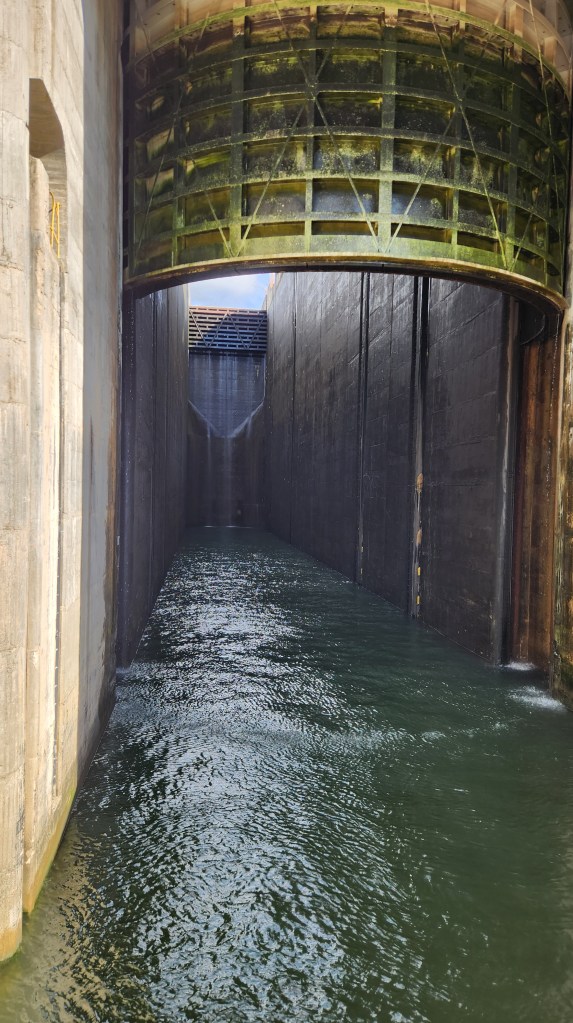
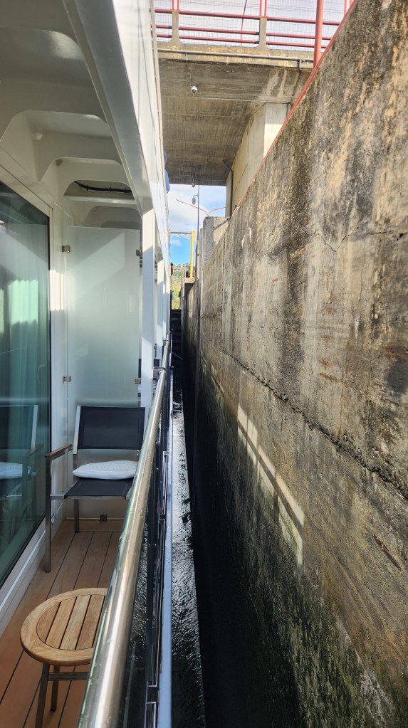
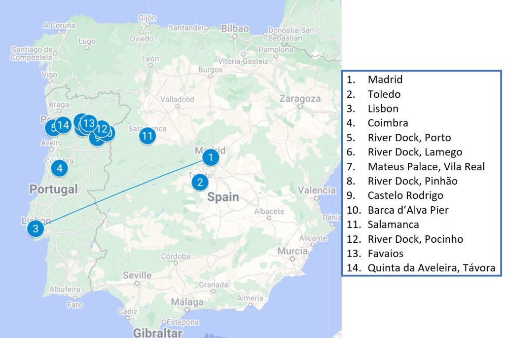
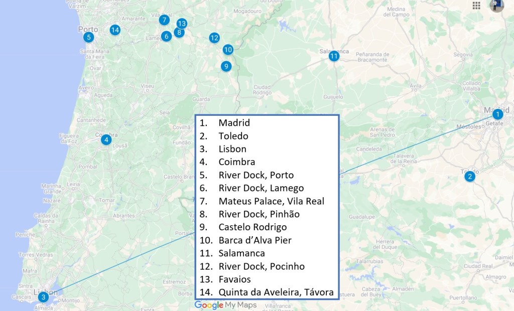
On that note, that’s it for this blog installment. Thanks for reading, and stay tuned for our upcoming Viking Ocean Cruise, which I’ll hopefully post by the end of November.