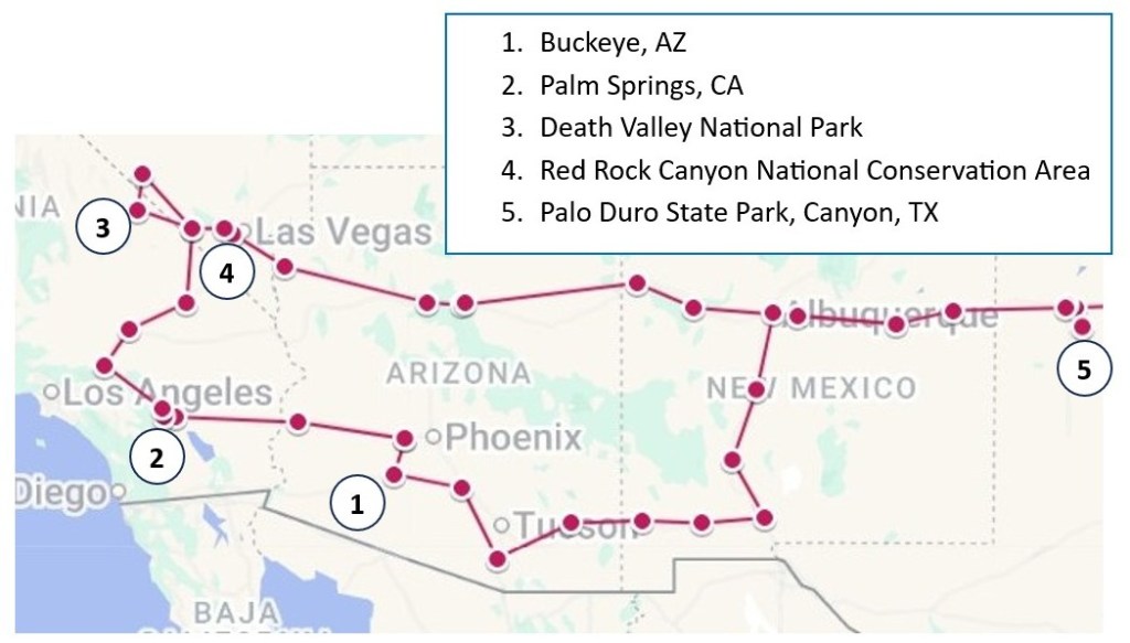
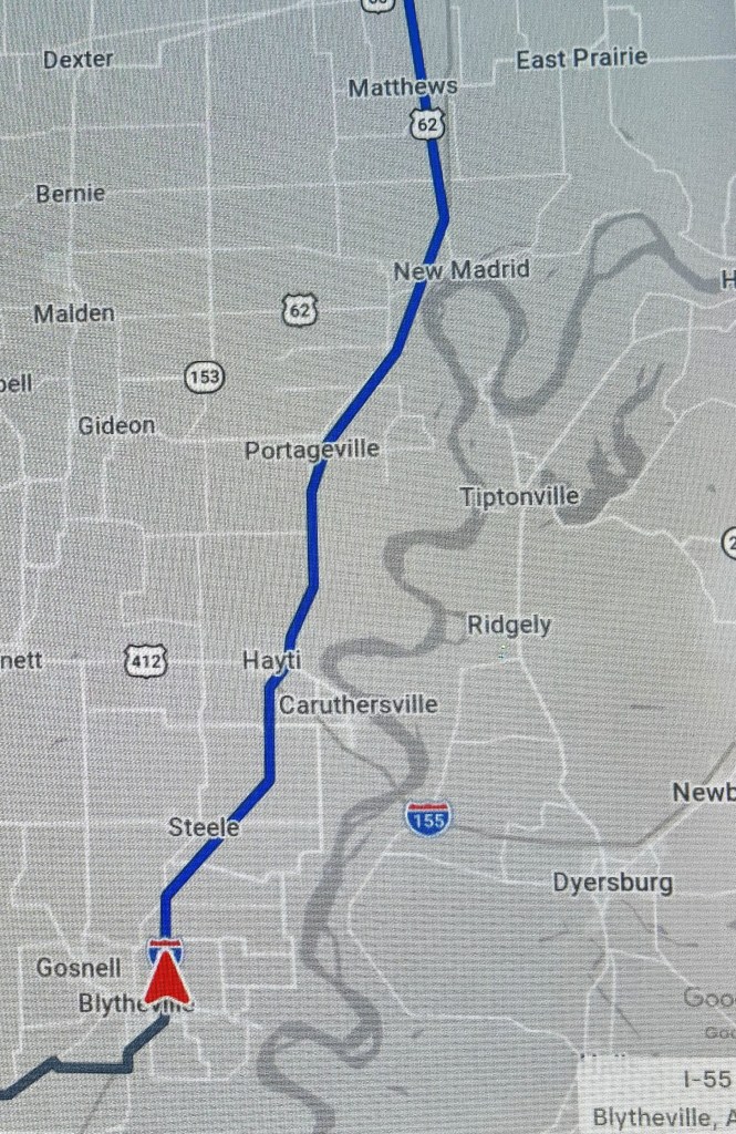
Part 1 of this travelogue covered our 6-week stay in Green Valley, AZ, which was essentially a repeat of last year’s Winter Warmup enlivened with a few new places we discovered this time around. Part 2 covered our travel to several more repeat sites as we began our circuitous trip back home. In this installment, as promised, I’ll finally cover some places we visited on our way back home that were new to us. Here’s a map showing the places mentioned in this post.
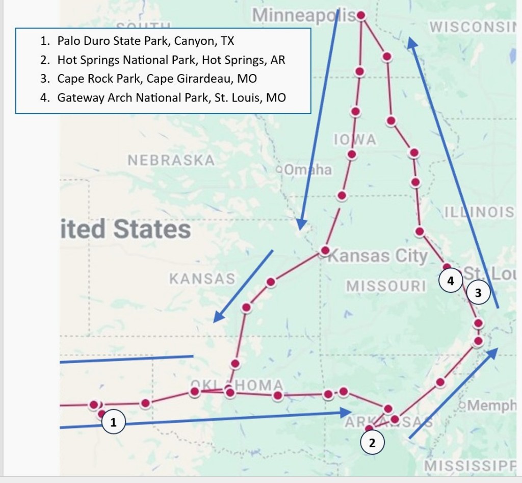
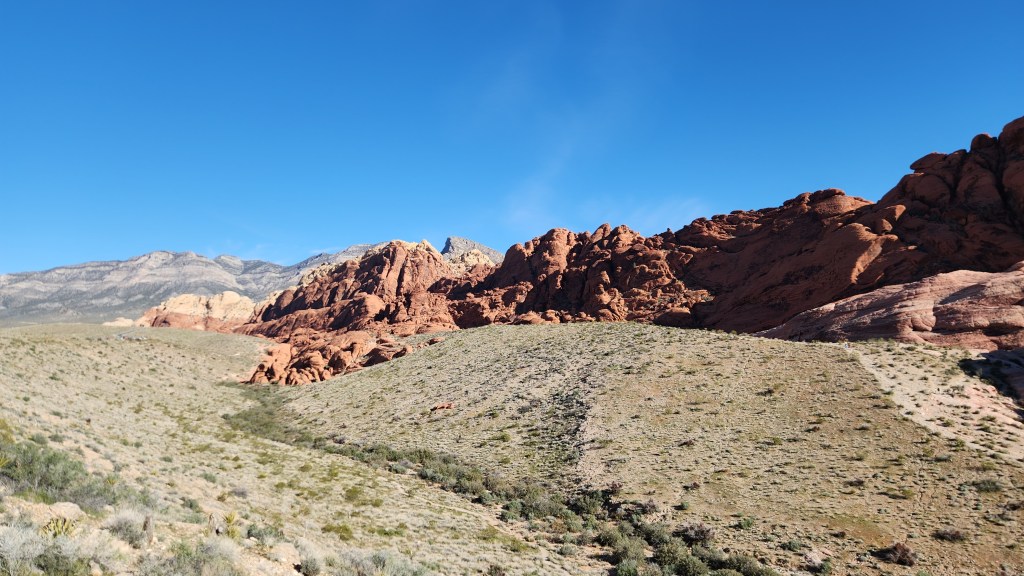
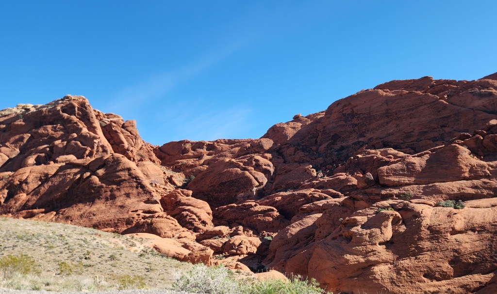
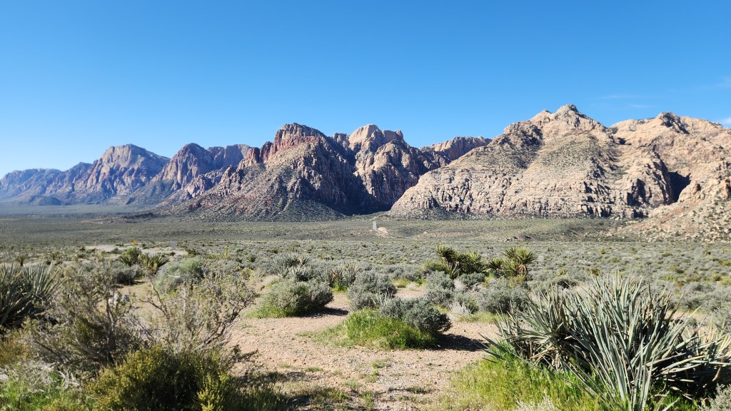
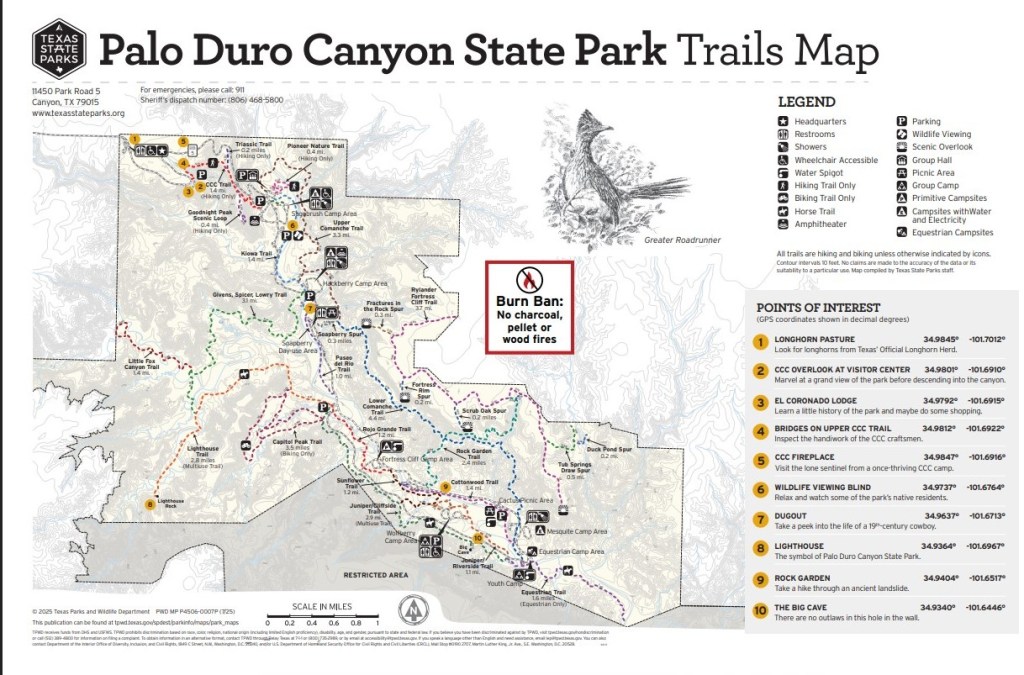
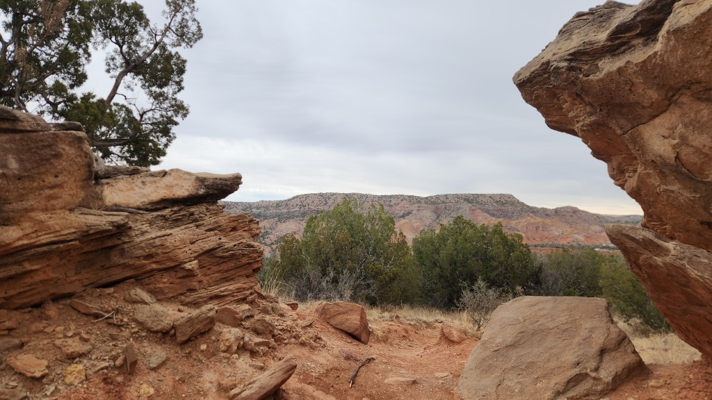
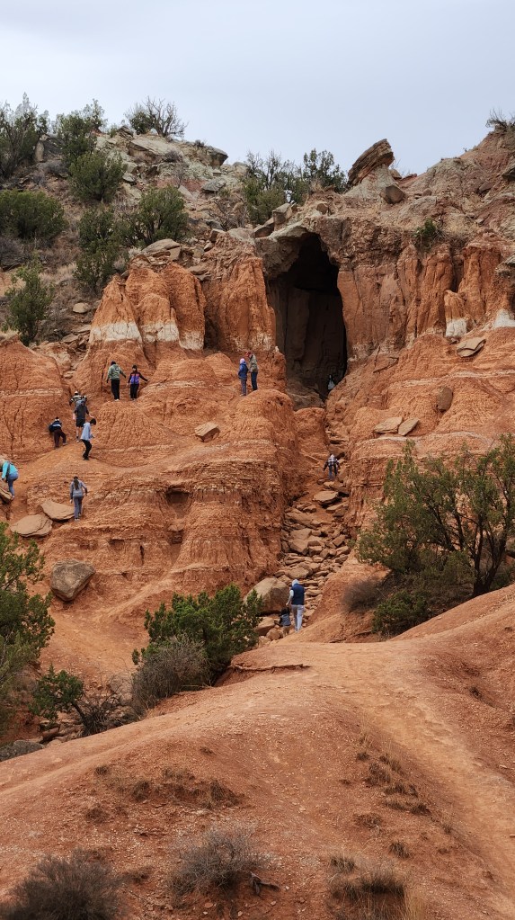
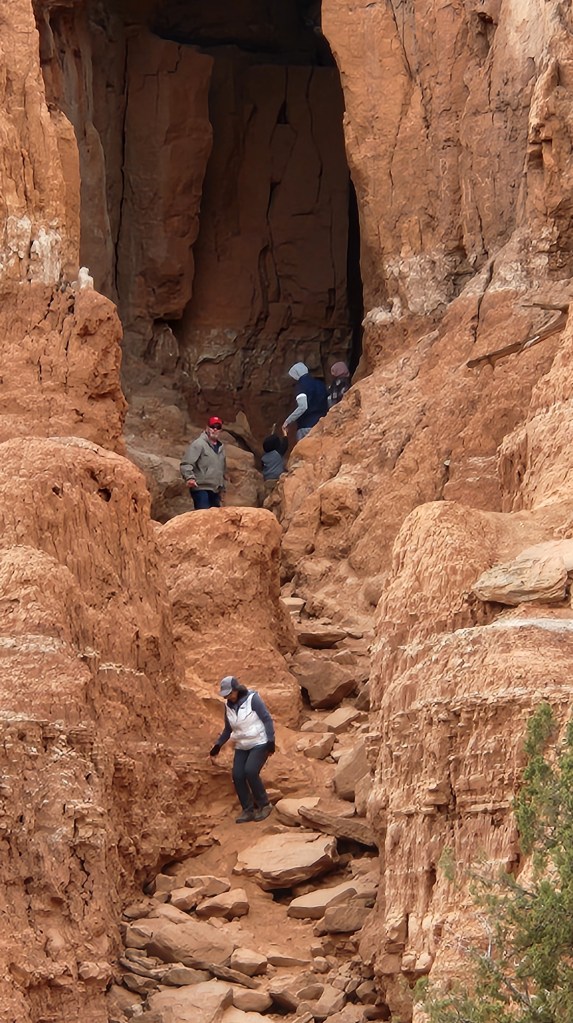
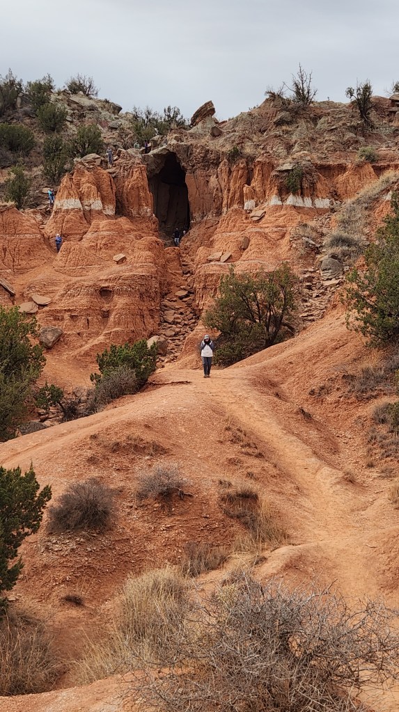
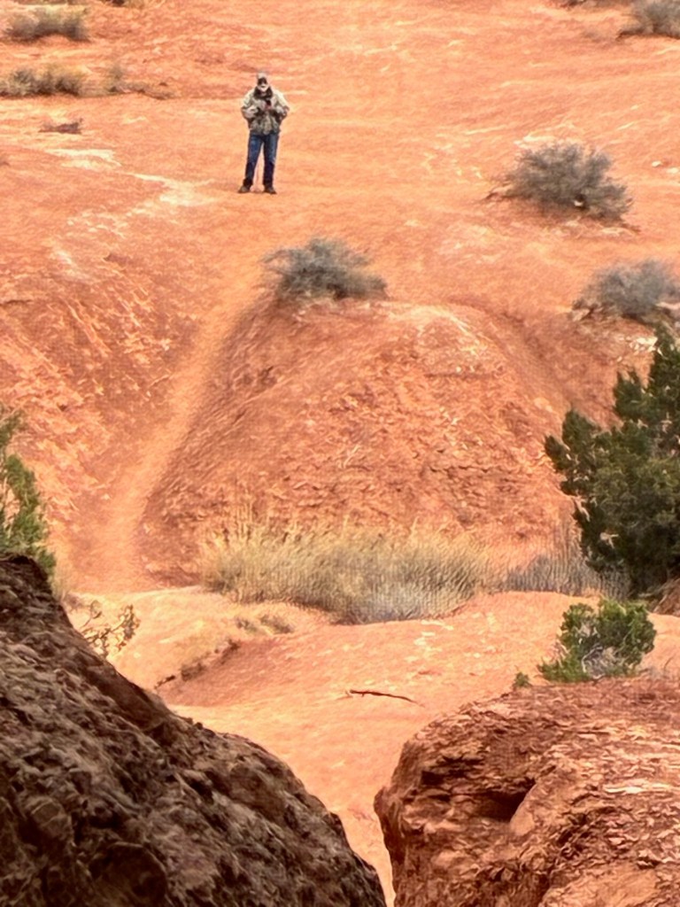
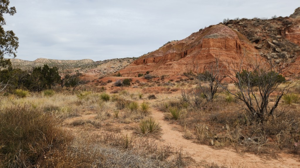
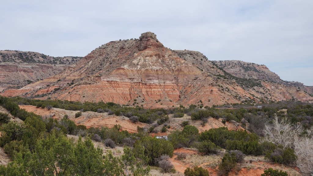
I already covered Palo Duro Canyon, which we visited for the third time on this trip, in Part 2, but I included it on the map simply to indicate how we got to our next destination. We left Amarillo, TX, after visiting Palo Duro, on Tuesday, March 17, and spent two days driving to Hot Springs for our next visit. I’ll pick up the narrative there.
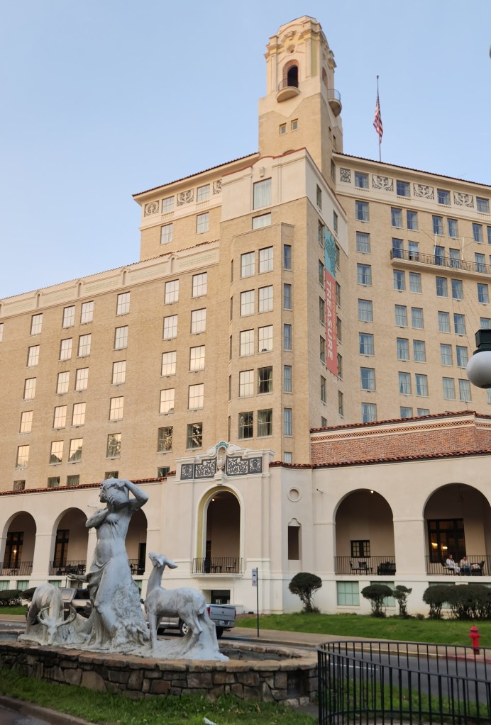
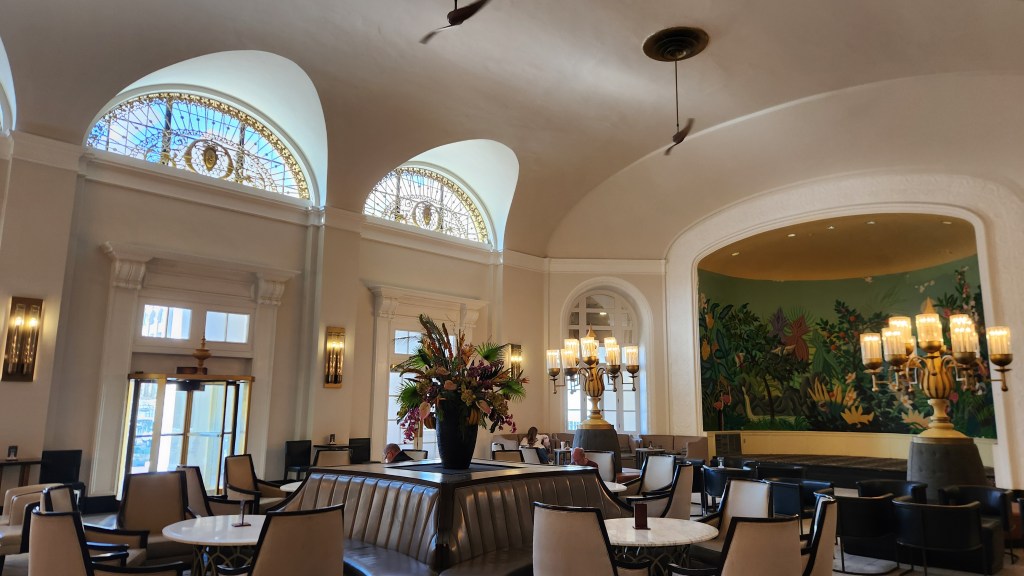
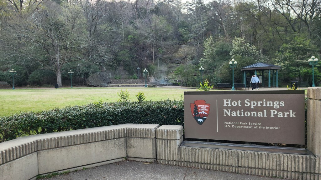
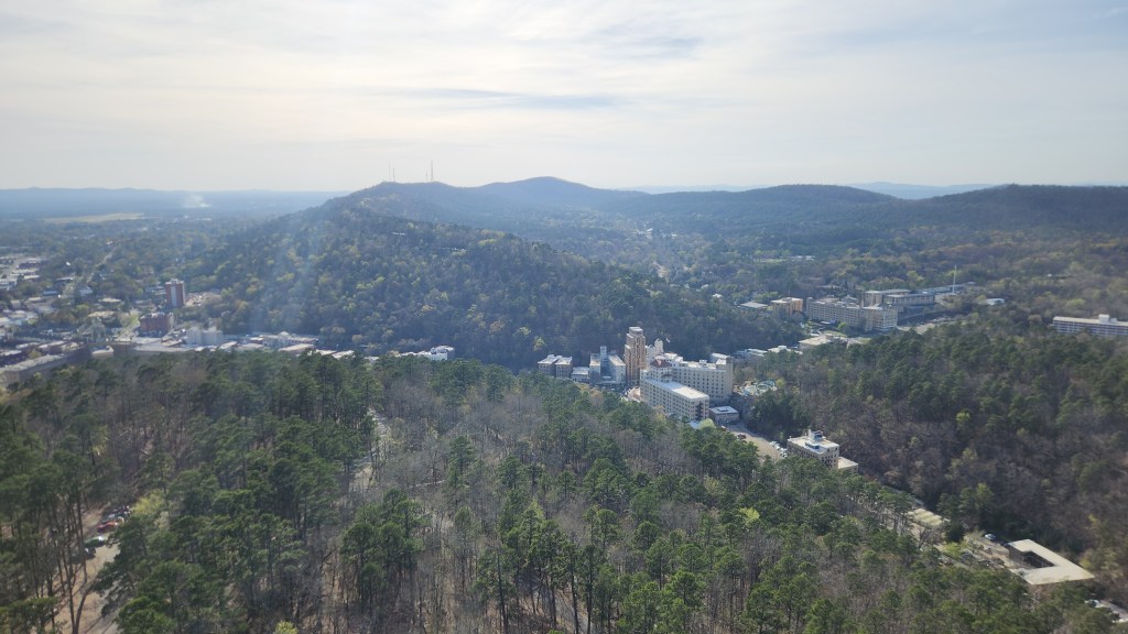
Hot Springs National Park, Hot Springs, AR: We arrived in Hot Springs on Wednesday afternoon and checked into the Arlington Resort Hotel and Spa, a historic landmark opened in its current form in 1924, replacing two previous structures from 1875 and 1893. To quote from the Google AI overview: “Located at the end of Bathhouse Row, it has hosted notable figures like Al Capone, Babe Ruth, and multiple U.S. presidents, offering thermal baths and a storied, luxurious past.” Pat and I decided to describe the hotel as “charming,” though it was very well-worn more than 100 years after its founding. The adjacent parking garage cost $20 a day, but that cost was offset somewhat by free EV chargers – even though three of the six spots were occupied by gasoline vehicles (grrrr!!), we were able to charge our car during our stay. The best thing about the hotel was its ideal location for visiting the National Park.
Hot Springs National Park was the 19th National Park, designated as such on March 4, 1921. However, in a way it is the oldest National Park. The Hot Springs Reservation was initially created by an act of Congress on April 20, 1832, to be preserved for future recreation, becoming the first area to be designated for federal government protection forty years before establishment of Yellowstone as the first National Park in 1872. The Hot Springs Reservation came under the management of the US Department of the Interior after that was created by Congress in 1849 and under the National Park Service when that was created in 1916.
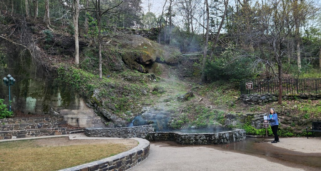
There are 37 springs located within the park, in a valley among the Ouachita Mountains. They have been created by a natural, non-volcanic process whereby rainfall on the surrounding mountains infiltrates the ground and seeps deep into the earth (roughly 2,000 to 8,000 feet) through faults and fractures in sandstone and shale for some 4,000 years or more. The water is heated by the Earth’s natural internal heat (geothermal gradient) before rapidly rising back to the surface. The hot water then rises quickly back to the surface along other fault lines, taking only a few years to return, which prevents it from cooling down, resulting in water in the surface wells at an average temperature of 143°F (62°C).
The springs were enjoyed for their healing properties by many native tribes who settled in the valley (the “Valley of the Vapors”) for 8,000 years before their discovery by Spaniard Hernando de Soto in 1541. Around the 18th century the Caddo settled in the area, followed by the Choctaw, Cherokee, and other tribes from the Southeast across the Mississippi River. Ther tribes agreed to put aside their weapons and partake of the healing waters in peace while in the valley. Unfortunately, little detail is known about the native experiences since the remaining Quapaw Indians were forced onto a reservation south of the valley in 1818 and subsequently removed to reservations in Oklahoma in the 1830s, and the oral history has been mostly lost.
The city of Hot Springs grew up around the park area in a somewhat haphazard way with various competing entrepreneurs establishing cabins for visitors to the springs. Ownership disputes were often settled by violence before the city was incorporated in 1851. In the early 20th century, the city was known as the home to Major League Baseball spring training, illegal gambling, speakeasies during the Prohibition era, gangsters such as Al Capone, horse racing at Oaklawn Park, and the Army and Navy Hospital. Horseracing and the National Park seem to be the major draws today.
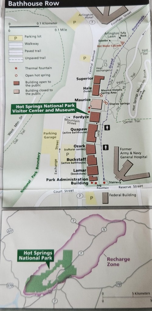
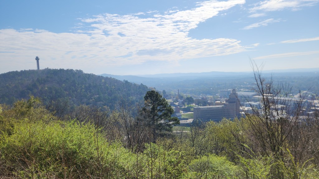
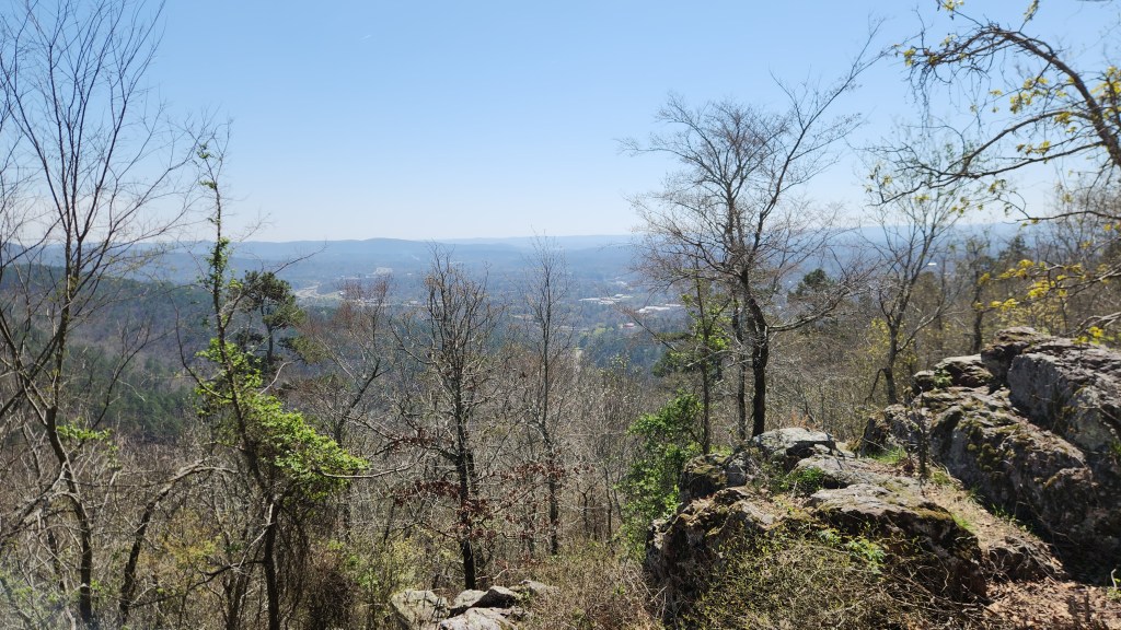
Hot Springs is the second smallest National Park, comprising only 5,500 acres within and around the city of Hot Springs. It is very accessible, with multiple hiking trails and several roads providing access to the main attractions. The Arlington is located literally across the street from a large lawn area featuring a National Park sign and one of the open hot springs. The others springs are located in the various bathhouses, most of which are no longer active and none of which we visited.
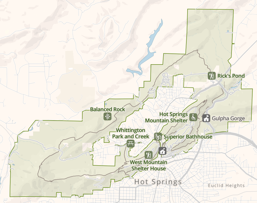
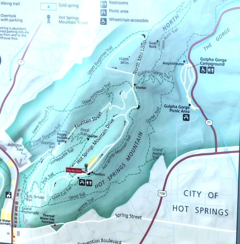
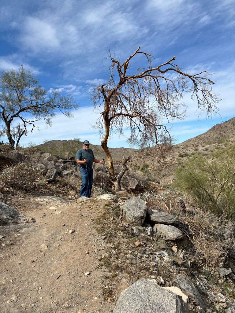
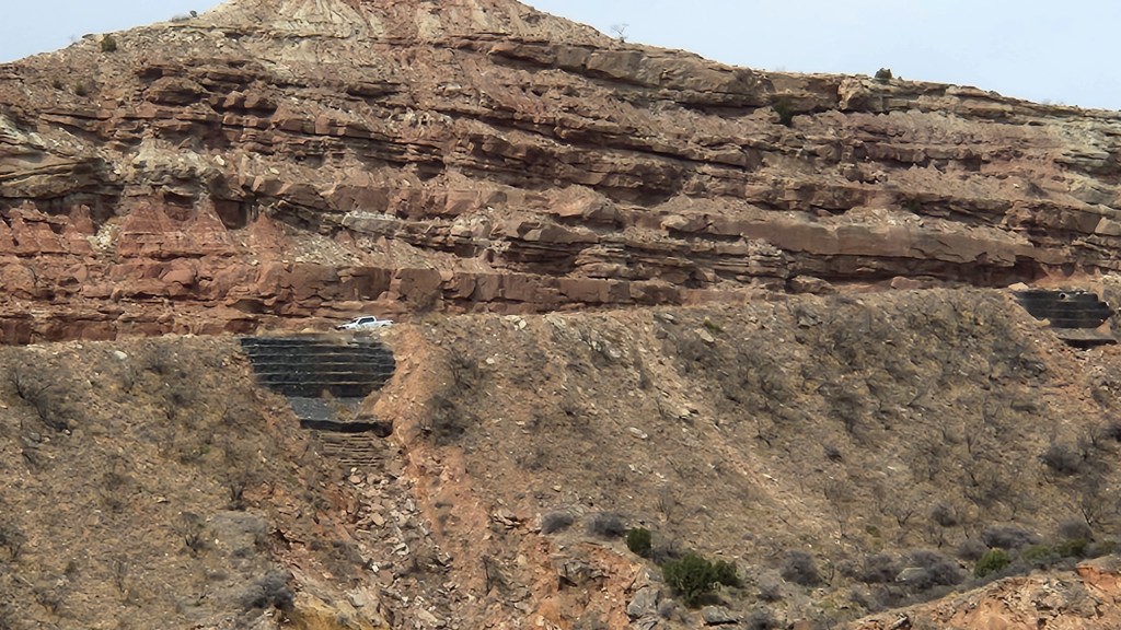
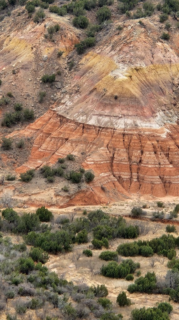
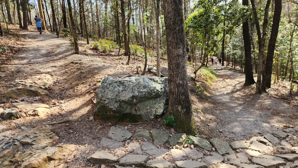
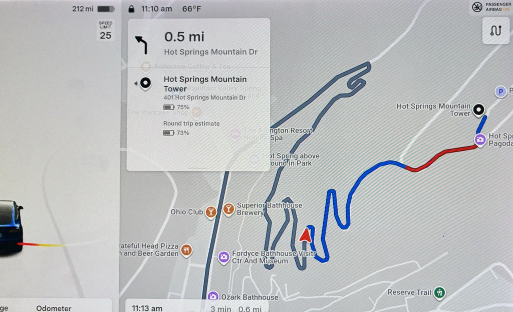
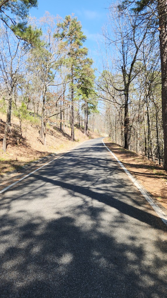
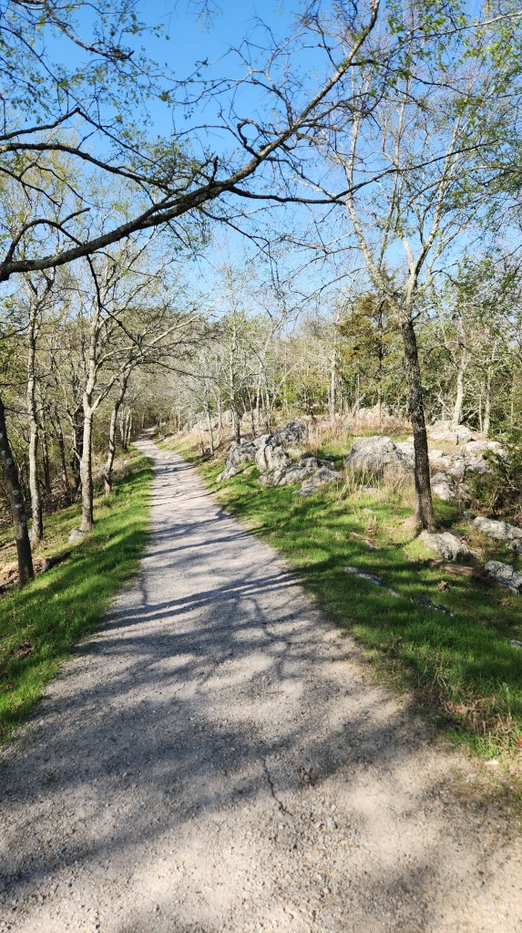
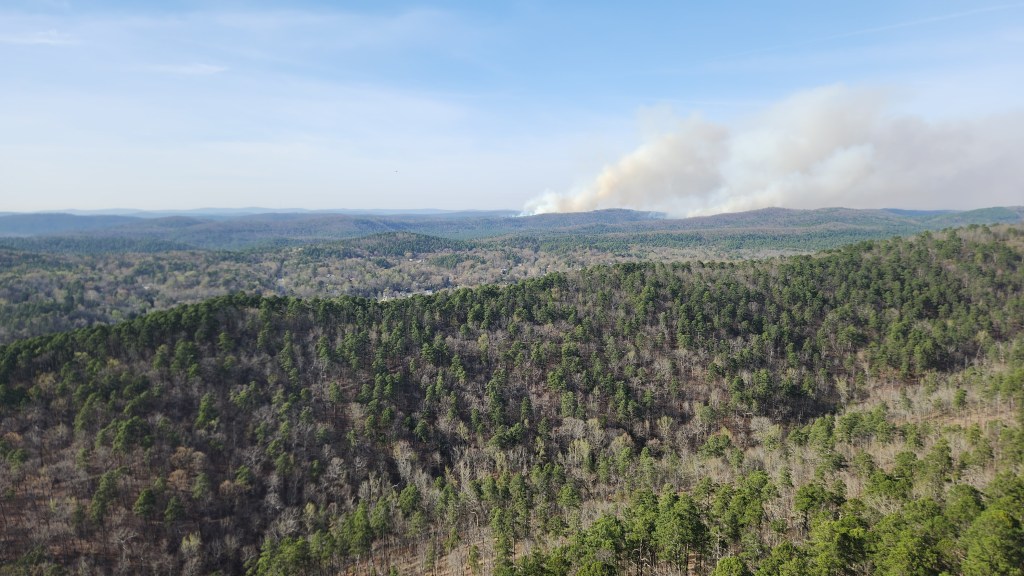
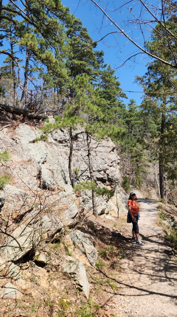
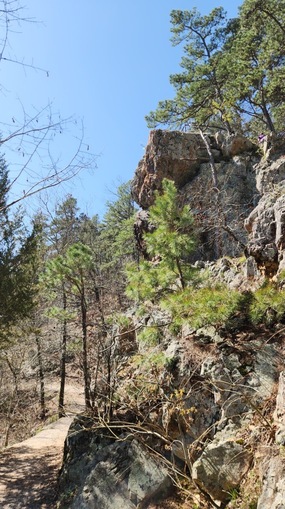
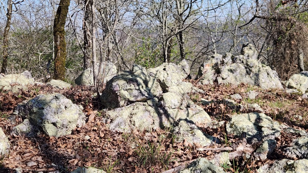
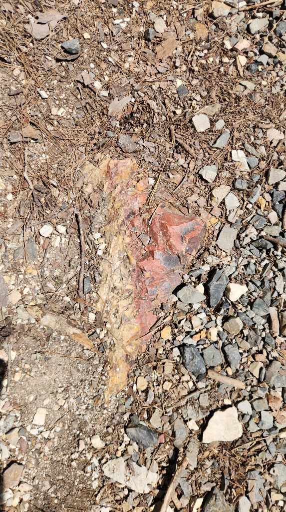
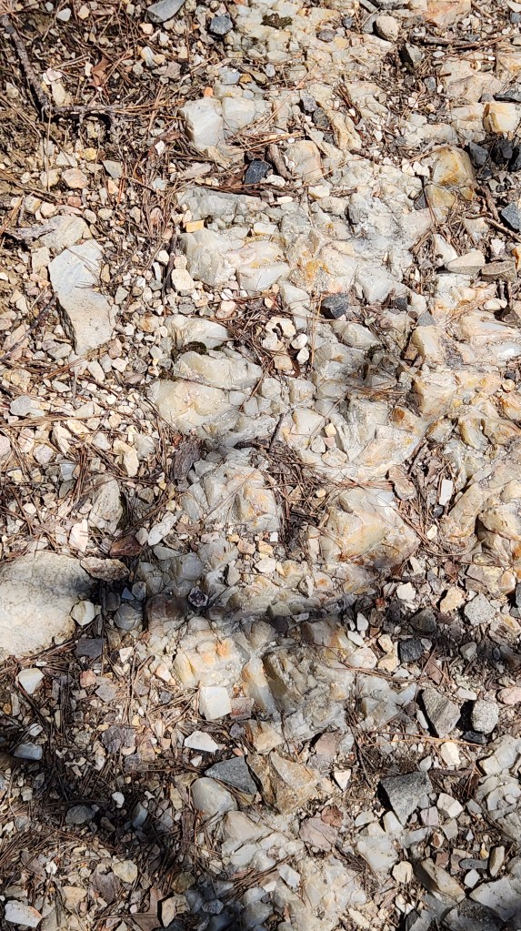
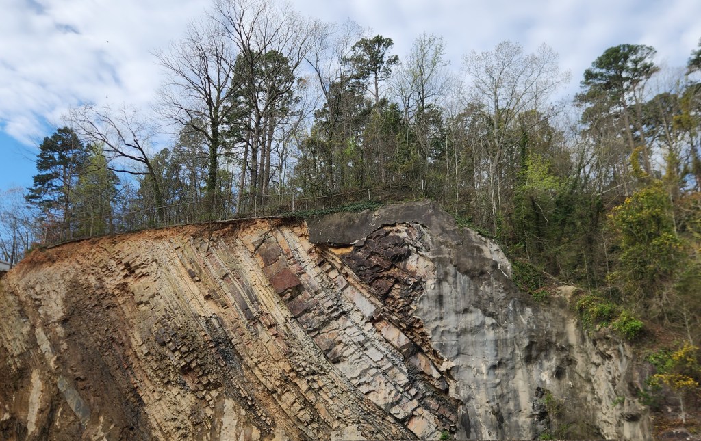
On Wednesday afternoon after checking into the hotel we walked to the park and then uphill along the Peak Trail for a quick look at the Mountain Tower before heading back into town for dinner. On Thursday morning, we took the car out of the garage and drove along two winding park roads, first the West Mountain Loop and then the North Mountain Loop. We made frequent stops for photos on both loops, stopped for a short hike along the Honeysuckle Trail followed by a visit inside the Mountain Tower (I bought a ticket to ride up to the top, but Pat stayed on terra firma while I did so), and finally went for a longer hike along the Goat Rock Trail. I was particularly interested in the diverse types of rock we saw along the way. The dominant rock is something called Arkansas Novaculite, a very hard, dense, fine-grained rock formed from silica, colored white, gray, or black, and there are also significant amounts of shale and sandstone, formed from deep marine deposits. There is also a spongy, soft rock formed at the surface when hot water cools and deposits minerals, called Calcareous Tufa, which is often found around the spring areas.
We drove back to the hotel in the afternoon, plugged in the car again, and then walked back to the park for lunch at the Superior Bathhouse Brewery. After another stroll around the Arlington Lawn, we returned to the hotel in the late afternoon and vegged out for the evening. We thoroughly enjoyed our visit to the (sort of) oldest and second smallest National Park and felt that the two-day stopover was sufficient to get a thorough look at the place. We were also able to tick off one more National Park visited, our 30th of the 63 total in the US.
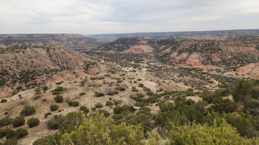
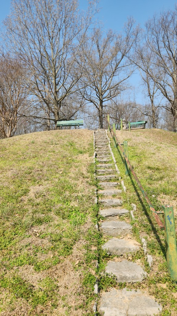
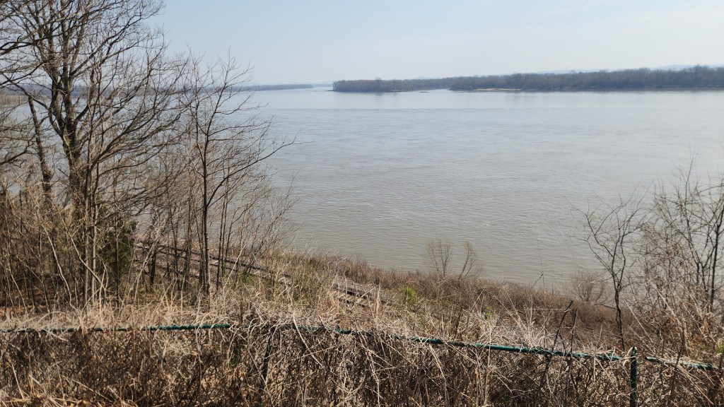
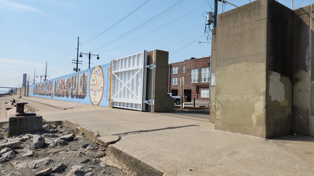
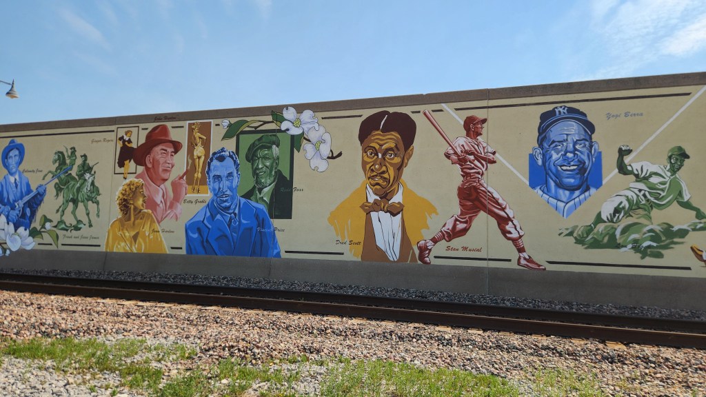
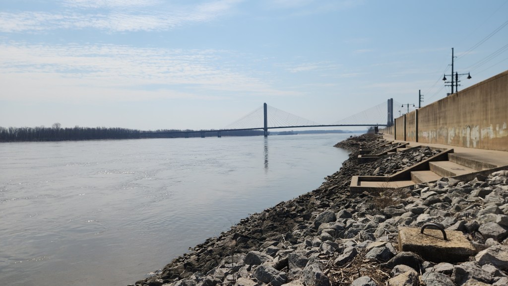
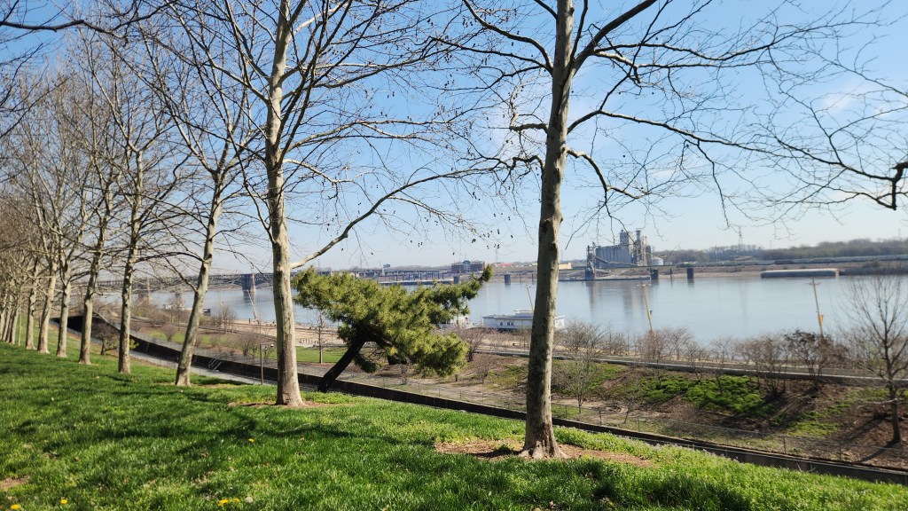
Cape Girardeau, MO: On Friday, we had a nice breakfast at a pancake house across the street from the hotel before heading north toward our next stopover in Sikeston, MO. We had reservations for Saturday and Sunday in St. Louis, but it was only a two-hour drive. As we continued northward, I couldn’t help but notice the mighty Mississippi showing up on the car’s navigation map, and I was surprised by how many bends it has. Since we had plenty of time, we decided to stop at Cape Girardeau along the way, where we could get a close-up look at the river. We found a fun little place called Cape Rock Park, located on a hill with a nice overlook, where I could easily imagine Huck Finn and Jim floating by on their raft. After that, we stopped in the town for a stroll next to the 16-ft high, 1.2-mile-long flood wall completed in 1964. The wall is designed to protect against a 54-ft high flood stage and demonstrated its value by defending against the 2016 record 48.86 ft crest. The wall also features an 1100-ft-long mural depicting the history of Missouri.
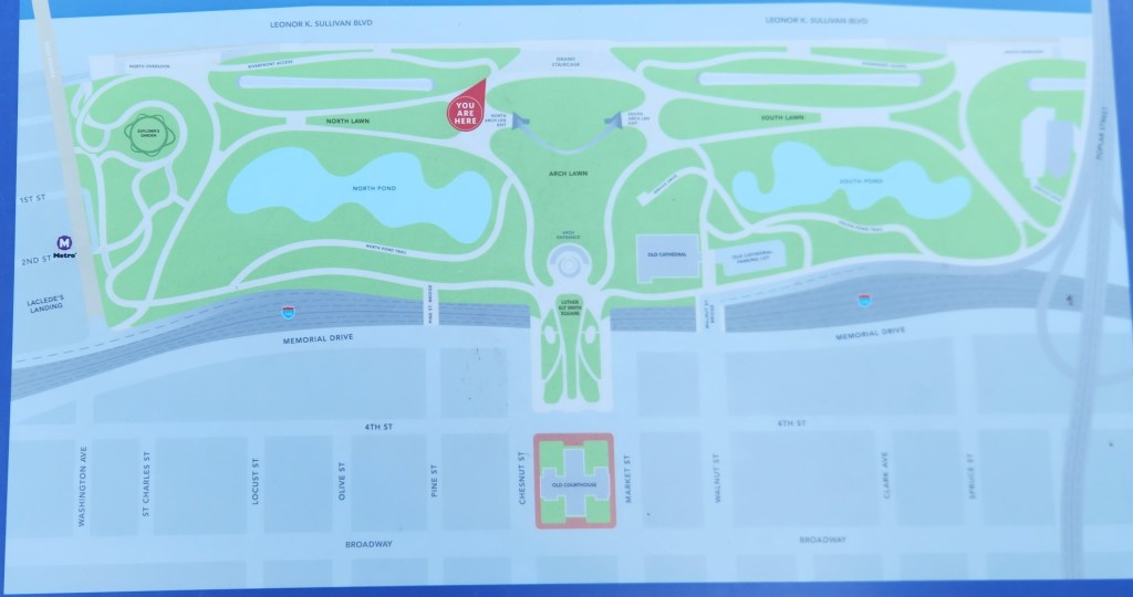
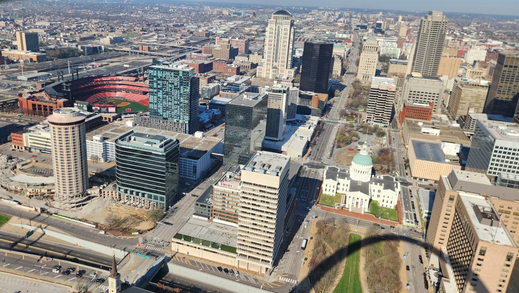
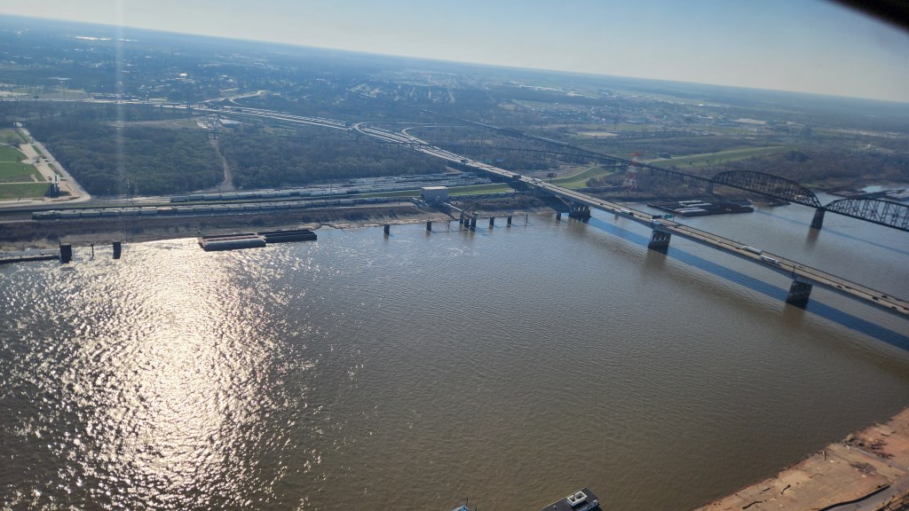
Gateway Arch National Park, St. Louis, MO: We left Cape Girardeau around 12:30 PM and resumed our drive to St. Louis, where we checked into a hotel called the Hampton Inn St. Louis Downtown at the Gateway Arch (not exactly a pithy name, but quite descriptive) for another two-night stay. This hotel also charged $20 per night to park in their garage, the cost again offset a bit by access to free EV chargers, but the main attraction was its close proximity to the Gateway Arch National Park, which we visited on Saturday afternoon for an hour or so and for several hours on Sunday.
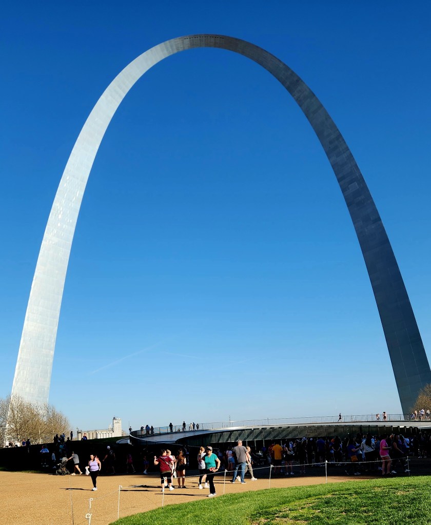
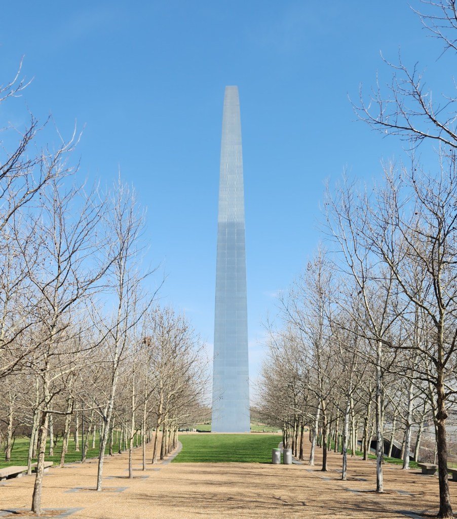
Gateway Arch is the fourth newest National Park, so designated on February 22, 2018. This designation was somewhat controversial, as opponents of the designation believed it was basically just a means for increasing tourism in St. Louis. In fact, the Department of the Interior recommended that it should remain a National Monument. However, Congress was swayed by the pro National Park arguments. It may have been a bold tourism promotion, but I for one was quite impressed with it and do not begrudge the name. Besides, this way we have added National Park number 31 to our growing list of parks visited. Gateway Arch is also by far the smallest of the parks at only 91 acres, less than 2% of the area at Hot Springs, previously the smallest, and minuscule in comparison with Death Valley’s 3.2 million acres and the even bigger parks in Alaska. While the tiny size is perhaps disappointing in a way, it is also great since every single bit of the place can be seen in just a few hours.
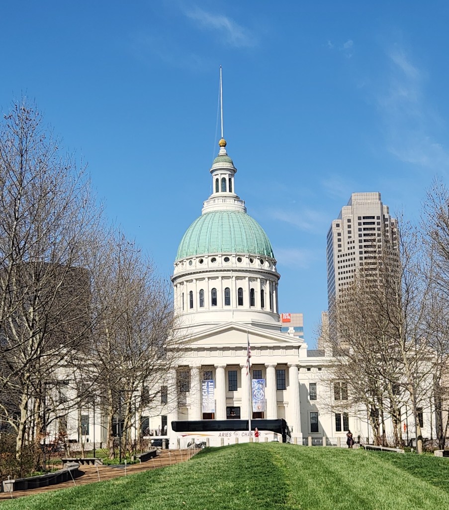
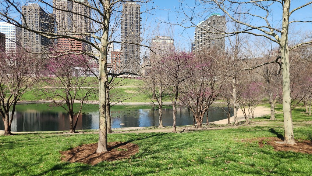
As to its history, the site was initially established as a National Monument to 1935 to commemorate: a) the Louisiana Purchase and subsequent westward movement of American explorers and pioneers, due to its location near the start of the Lewis and Clark expedition, b) the first civil government west of the Mississippi River, and c) the debate over slavery, as the park includes the preserved 1839 Old Courthouse where the infamous Dred Scott case originated. The dominant feature is the huge and well-known catenary arch. An international competition was held to select a design for the main monument, which was won by Finnish-American architect Eero Saarinen and German-American structural engineer Hannskarl Bandel in 1947. Construction of the arch took place from 1963 to 1965. It stands 630 feet tall and 630 feet wide at its base. The legs are 54 feet wide at the base, narrowing to 17 feet at the top. A unique tram system was built inside the structure to carry passengers to the observation room at the top of the arch, and a large underground museum was constructed beneath it. The arch sits in the middle of a large, grassy park crisscrossed by tree-lined walking paths and featuring two ponds populated by ducks,.
On Saturday, we strolled along several of the paths taking photos and getting oriented, and we returned Sunday morning to ride the tram and watch a well-made documentary movie about how Saarinen’s fanciful design was actually turned into something buildable by engineers and construction workers. One interesting fact we learned: while the original plans anticipated that up to thirteen construction workers might die due to the risky undertaking, there were no casualties at all.
All in all, our visit to St. Louis and the Gateway Arch was very rewarding. We parked our car and plugged it in on Saturday afternoon and didn’t drive again until we left on Monday due to the easily walkable neighborhood with multiple nearby restaurants. Speaking of which, we had the best barbeque dinner ever on Saturday at a family-owned place called Five Aces Smokestaq Lightning.
I won’t report on the remainder of the trip as we returned uneventfully to our condo in Minneapolis, arriving at 4 PM on Tuesday, March 24th. I was originally intending to add a discussion with some fascinating data regarding road tripping with an EV, but I have since had second thoughts as to whether it might be fascinating to anyone other than me. If I do eventually decide to write that installment, it will come out as PART 4: A Tale of Two Teslas and a Dissertation on Drag. Don’t hold your breath, but either popular demand or my irrepressible nerdiness may yet prevail.
At any rate, thanks for reading, and I hope you enjoyed this travelogue!