Pat and Dave’s Nifty National Park Lark – PART 2

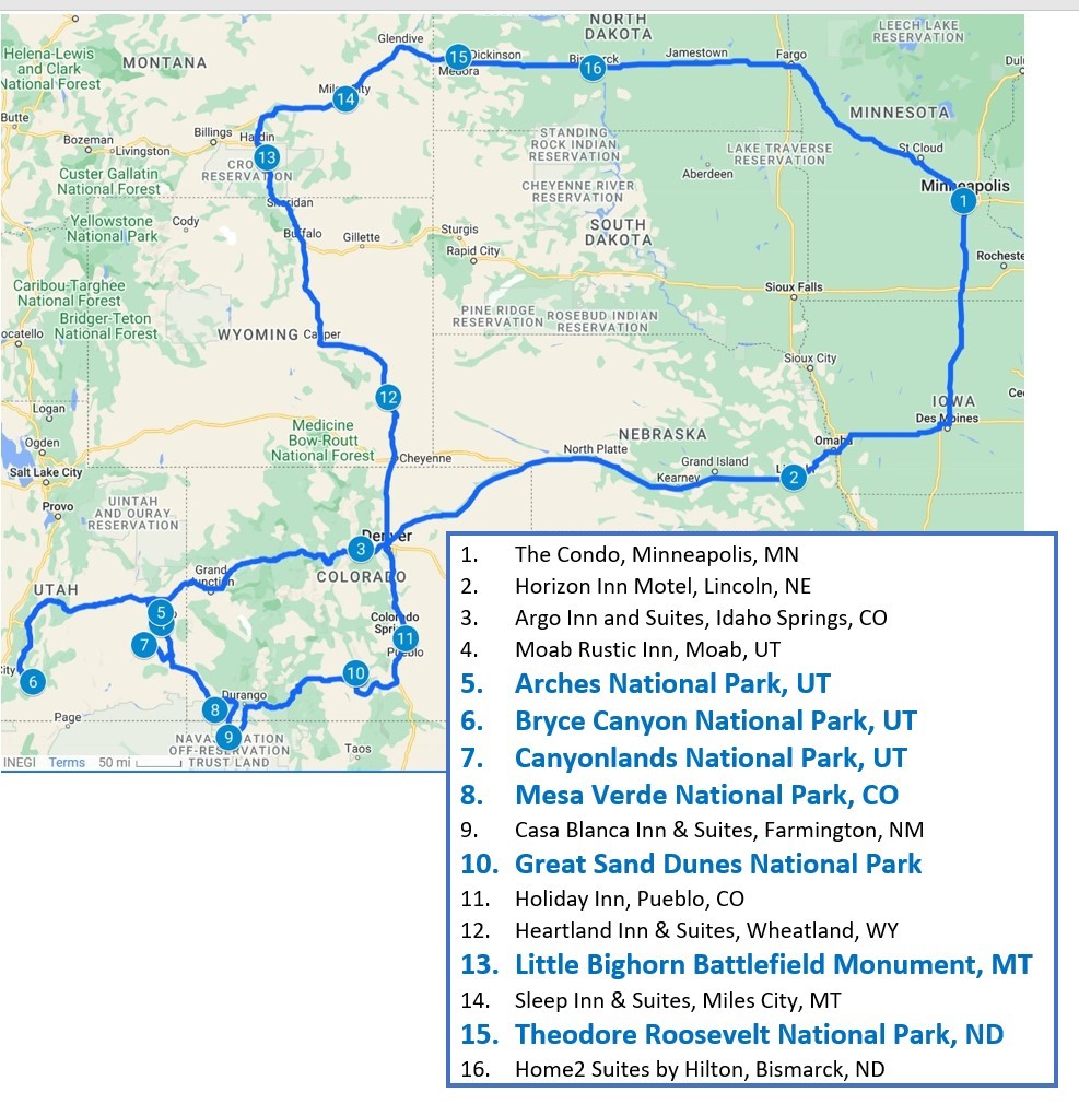
In Part 1 of this travel blog, I began the description of our recent 4,128-mile road trip, during which we visited six National Parks and one National Battlefield. As a reminder, here’s a map of the journey:
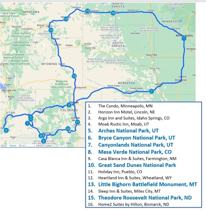
I’ll pick up the narrative again after our visits to the three National Parks located in Utah.

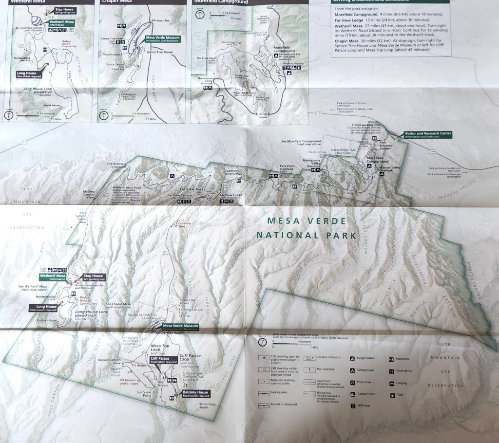
Mesa Verde National Park (October 9): I’d never heard of this park before the trip, but Pat suggested we check it out. The name for the area, which translates as “Green Table Mountain,” was coined by early Spanish explorers who noted the unusually lush greenery on flattened mountain tops separated by canyons. This was a misnomer, however, since the top of a mesa is almost perfectly horizontal, whereas the flatlands in the park actually are inclined at an angle of 7 degrees toward the south. Such an inclined, flat surface is known geologically as a cuesta, so that the “proper” name for the park perhaps should have been “Cuesta Verde.” At any rate, the park is very picturesque, with a well-maintained road that winds among the canyons to provide access to the various points of interest. Here’s a map:
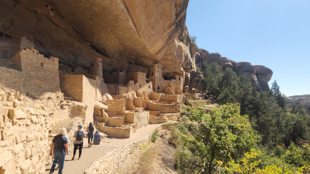
The cuesta top land is covered by soil, providing a much more fertile climate then the surrounding desert land. As such, it became an attractive home for the Pueblo people who began growing corn in the area as early as 1000 BCE and lived in villages on the surface near the crop fields. The people flourished as corn production increased and a thriving trade economy developed, with the population of Mesa Verde reaching about 40,000 at its peak in the 1200s. Around that time, the inhabitants began constructing and moving into cliff dwellings adjacent to the flatlands, which provided access to potable water via seep springs, protection from heat and rain, and places for storage of grain, clothing, and manufactured items such as baskets. One of the largest of these dwellings, known as the Cliff Palace, is a main feature of the National Park.

The highlight of our visit to Mesa Verde was a ranger-guided tour of the Cliff Palace. On the evening before our visit, we obtained tickets for a 1:30 PM tour on October 9 ($8.00 apiece) using my Recreation.gov app. We arrived at the Visitor Center around 10:30, watched a nice movie about the park (of course!), and then ogled the spectacular scenery while driving to the Chapin Mesa area.
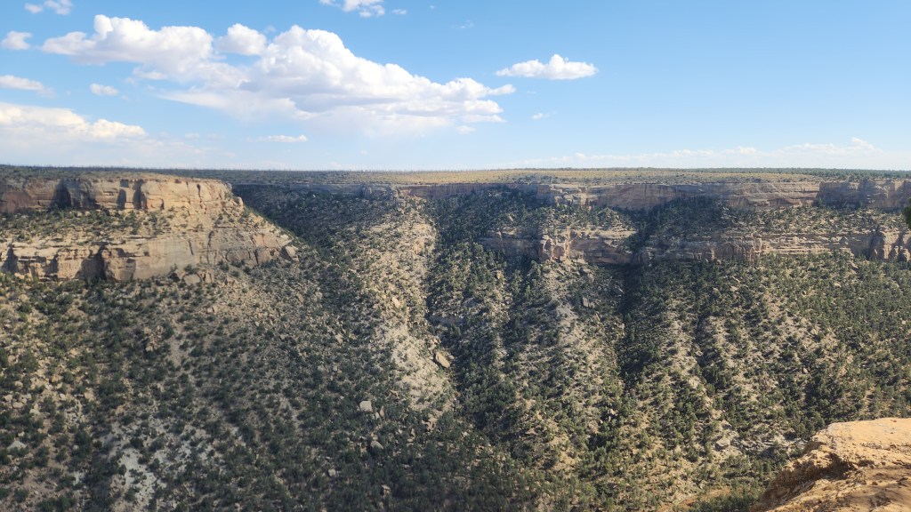
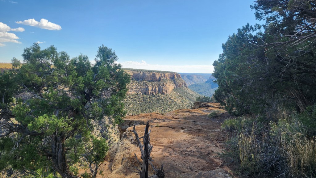
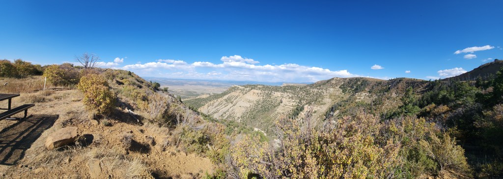
View from Roadside Overlook

Once at the Chapin Mesa area, I bought a souvenir T-shirt at the Mesa Verde Museum and we ate lunch at a nice cafeteria before our tour. Access to and exit from the Cliff Palace was a bit challenging, including stone steps, some narrow passages, a path that was precariously close to the cliff edge in places, and even a series of wooden ladders –the ranger was very careful to stress the hazards before we started – but the tour was well-worth it. I highly recommend it for anyone traveling to Mesa Verde, as long as they are fit enough for the climb down and out again. There were a couple of people on our tour (out of about forty total) who seemed a bit wobbly to me, but everyone managed to navigate it safely.
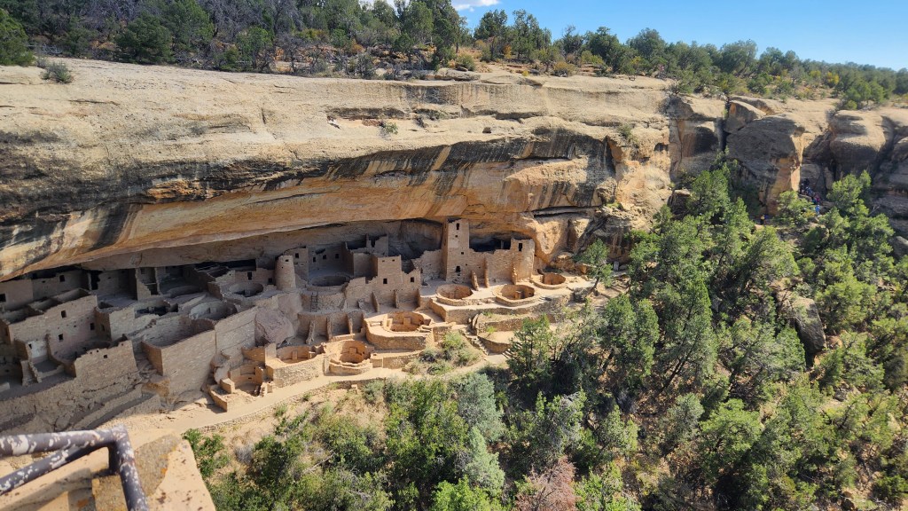
The Cliff Palace
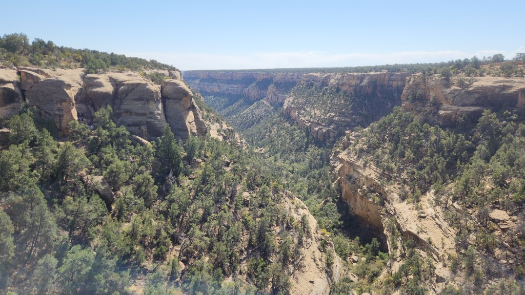
Canyon Adjacent to the Cliff Palace
Touring the Cliff Palace

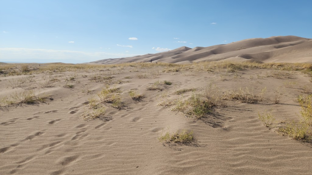
Great Sand Dunes National Park (October 10): This is another one I had not heard of before this trip, and once again I give credit to Pat for steering us there. After driving for about four hours from the Casa Blanca Inn, we were approaching the National Park from the south over a flat plain that extended for many miles with a view of some mountains in the distance, and I began to wonder if we had taken a wrong turn since there appeared to be nothing of real interest on the horizon. However, a huge pile of sand gradually began to take shape and we eventually came to the park entrance sign.
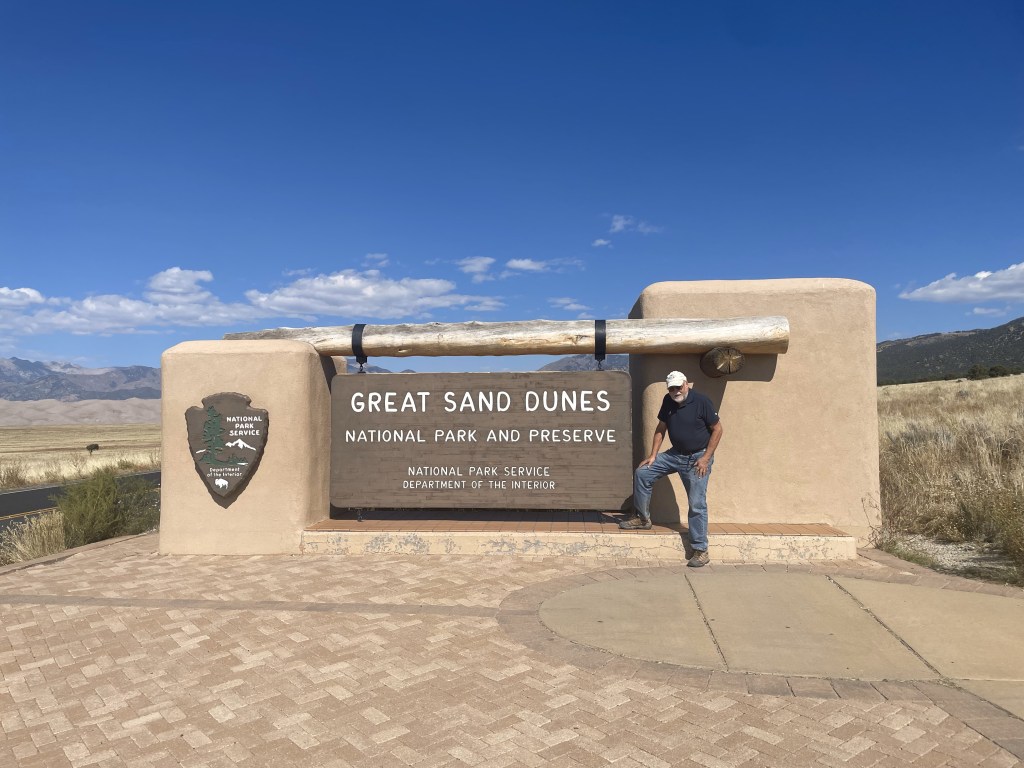
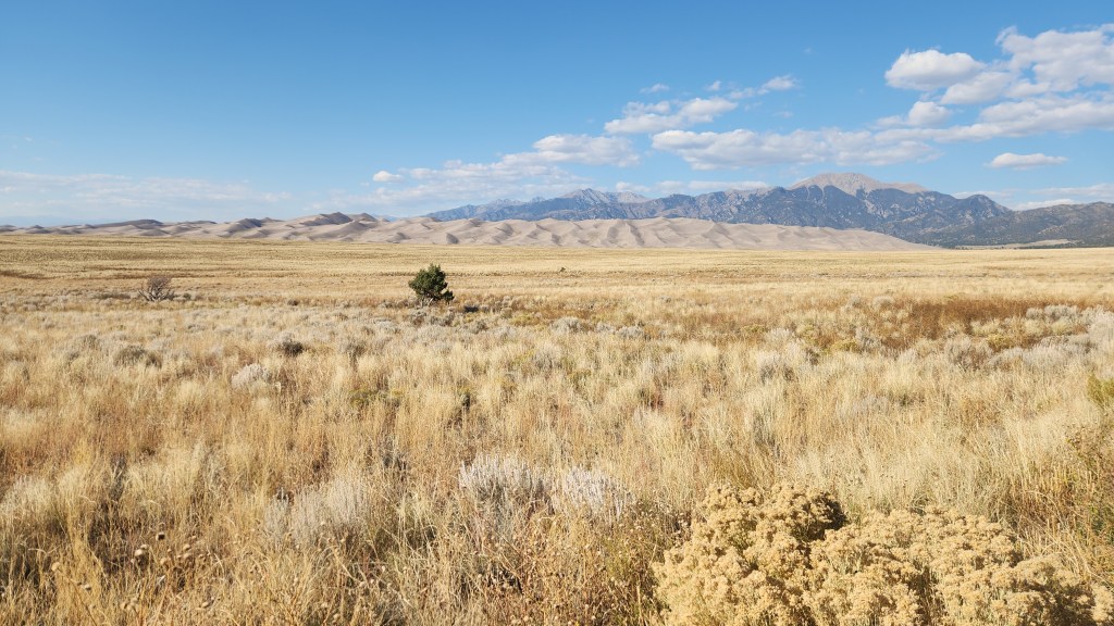
No, we hadn’t made a wrong turn …
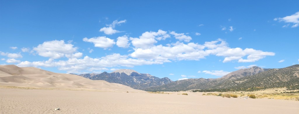
Introductory View: Great Sand Dunes and Sangre de Christo Mountains

We proceeded to the Visitor Center and, naturally, watched a movie about the park and bought a souvenir T-shirt. (Perhaps you’re beginning to realize that we are creatures of habit.) The film was absolutely mesmerizing to a fluid dynamicist such as myself. What does a huge sand dune have to do with fluid dynamics, you might ask? Plenty, it turns out. I learned that the Great Sand Dunes developed over thousands of years, beginning as sediment deposited in ancient lakes. As the climate warmed, the lakes disappeared, leaving a vast layer of sand behind. Predominant winds from the southwest blew much of the sand into a low curve of the Sangre de Christo Mountains, and periodic storm winds from the mountains pushed sand back in the other direction, causing it to build up into the immense dunes. The dune structure now maintains itself through an annual cycle as follows: the desert winds blow sand into the mountains during the fall and winter seasons, and then spring and summer floods wash sand back down via Medano Creek, which borders the sand dunes to the east and south. Another fascinating aspect of the system is that the water flow in Medano Creek exhibits a pattern of waves that is unique in the world due to the ebb and flow due to the large quantity of sand carried by the water. The only disappointment in all this was that, while the film included beautiful footage showing the water flow, the actual creek was completely dry at the time of our visit, as it always is in late fall and winter. In other words, a return visit during the spring or summer will be an absolute must.

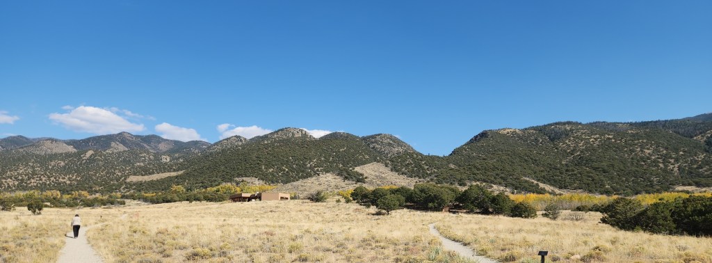
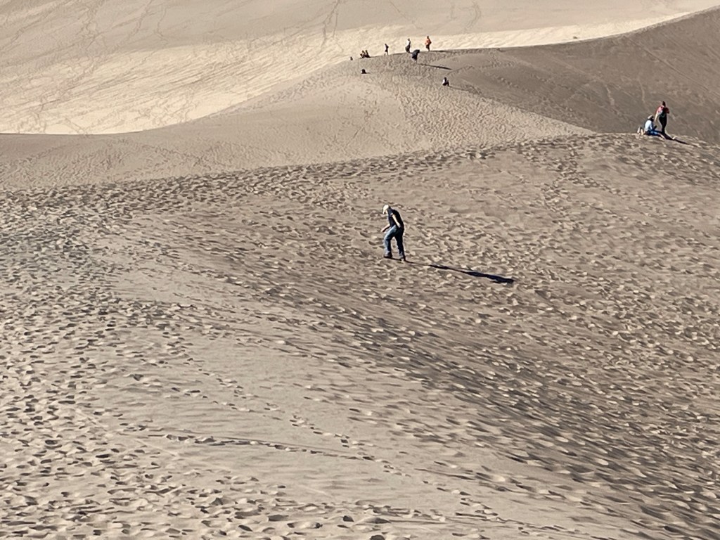
We did spend a couple of hours exploring the park, first walking around a nice loop trail near the Visitors Center, which offered great views of the dunes and the mountains and also had signs identifying the various species of local foliage, and then driving to a parking lot with access to the dunes. We walked for some distance on the coarse, khaki-colored sand, which made for very tough slogging. I found the immensity of the dunes very impressive, but in fact they were neither as accessible nor as interesting as the dunes at White Sands National Park, which we visited back in 2020, where the dunes of fine, white sand are easily accessible and more changeable in the wind. All of which again points to the need to visit Great Sand Dunes at the proper time of year, when the water is flowing.
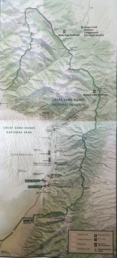
Map of Great Sand Dunes National Park
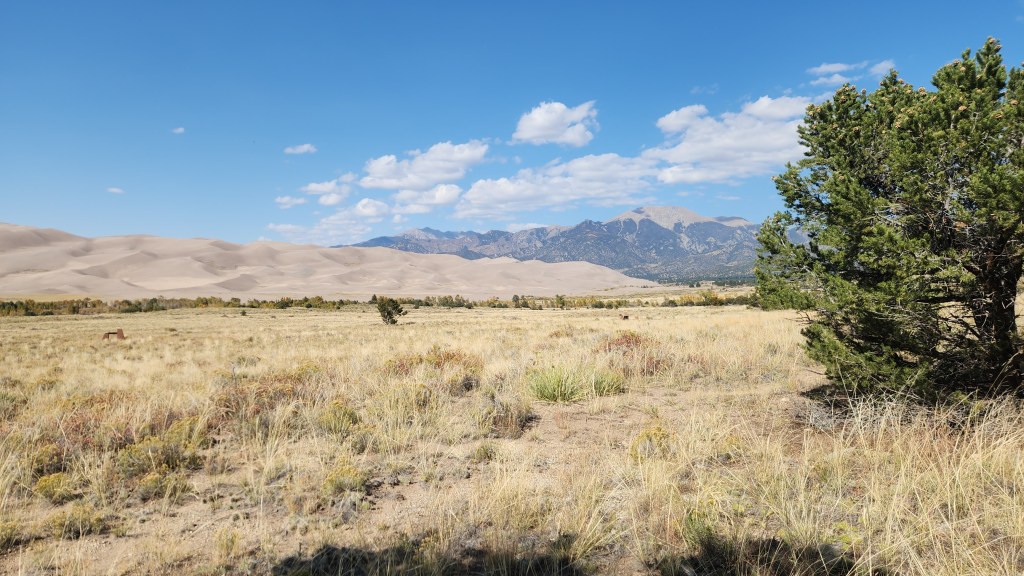
View from Nature Trail
The Great Sand Dunes
Slogging in the Dunes

Little Bighorn National Battlefield Monument (October 12): I first learned about the battle of the Little Bighorn some 65 years ago, when I was a young boy. At that time, it was universally referred to as Custer’s Last Stand and portrayed as a tragic loss in the righteous war to subjugate the Native people. One of the first things I saw that presented somewhat of an alternate view of the battle was the 1958 movie, “Tonka,” starring Sal Mineo in a non-PC role as a young Lakota who captures and tames a wild stallion (the titular Tonka) before eventually joining Custer’s 7th Cavalry and surviving the battle. I suspect the film was actually quite biased, but somehow it sparked an interest in me and planted a seed of doubt about just how “righteous” the white man’s war actually was. I have since read many things about the conquest of the Native peoples, George Armstrong Custer, Sitting Bull, Crazy Horse, and the battle at Little Bighorn which have confirmed those early doubts. I also remember seeing an episode of “The Twilight Zone,” in which three US Army soldiers on a tank training exercise find themselves retracing Custer’s movements – after some rather mysterious goings on, the final scene shows the three men’s names on grave markers at the Little Bighorn Battlefield site. All of this background left me with a curiosity to see the actual battle site. Since we were traveling not too far from it, I suggested that we add it to our itinerary.

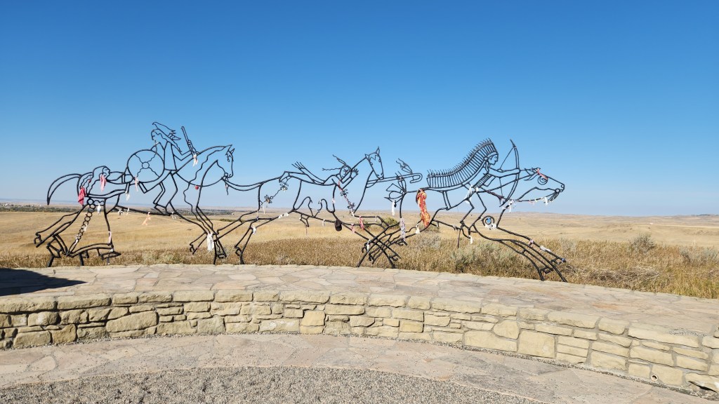
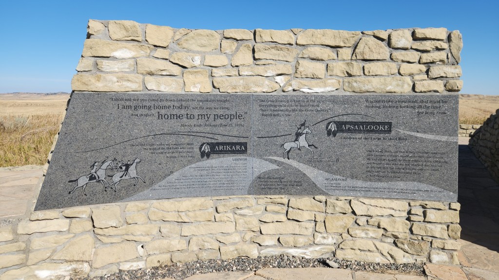
The Little Bighorn Battlefield National Monument was originally established by the Secretary of War in 1879 as a National Cemetery to commemorate the battle and preserve the graves of the soldiers and their allies who died there. In addition to those who died in the 1876 battle, the site includes graves of many hundreds of soldiers who subsequently served in the military in an area called Custer National Cemetery. The site was transferred to the National Park Service in 1940 and eventually given its present name in 1991 by an Act of Congress, which also decreed that an “Indian Memorial” be added to the site near Last Stand Hill. Here’s a map of the site:
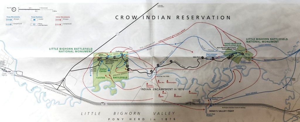
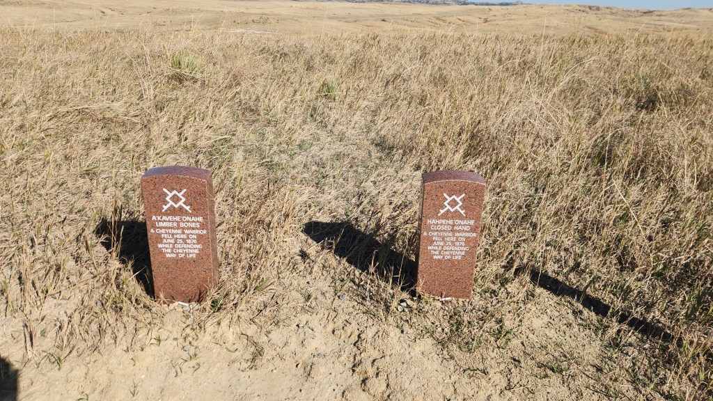
We spent about an hour walking around the area near Last Stand Hill and the newer Native People’s memorial and then driving along Battlefield Road to see the various points of interest. In addition to white gravestones marking places where 7th Cavalry soldiers fell, newer, granite markers have been added to mark places where some of the opposing Native warriors died. The site was interesting, and I was pleased to see that the NPS is trying to present a more balanced view of history than I remember from the 1950s. I would hope that all Americans can agree that this is a good thing (though I have my doubts given ongoing efforts by many to recreate the 1950s version of history).
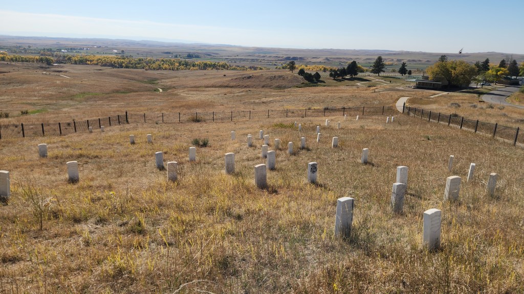
7th Cavalry Gravestone Markers
Fallen Warrior Native Markers
Native People’s Memorial
View from Battlefield Drive

Theodore Roosevelt National Park (October 13): This was the final stop on our road trip, easily accomplished since we were driving right past it on I94 as we headed back toward Minnesota. The park was designated to honor the man known as the Father of the National Parks, which have become Theodore Roosevelt’s most lasting legacy. What is now called the North Unit of the park was originally designated as the Roosevelt Recreation Demonstration Area in 1935, before being transferred to the US Fish and Wildlife Service and renamed the Theodore Roosevelt National Wildlife Refuge in 1946. What is now called the South Unit was established as Theodore Roosevelt National Memorial Park in 1947. The North and South Units, along with the Elkhorn Ranch Unit, were finally designated as Theodore Roosevelt National Park in 1978.

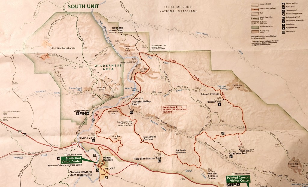
We arrived at the South Unit Visitor Center at about 10:30 AM. This time, after viewing the park movie, I bought a souvenir sweatshirt, rather than a T-shirt (a near-radical departure from past practice). We spent about three and a half hours driving along the Scenic Loop and stopping frequently at various points of interest and to take a couple of short hikes. Since I’m running out of steam, I’ll just share some photos and call that good enough.
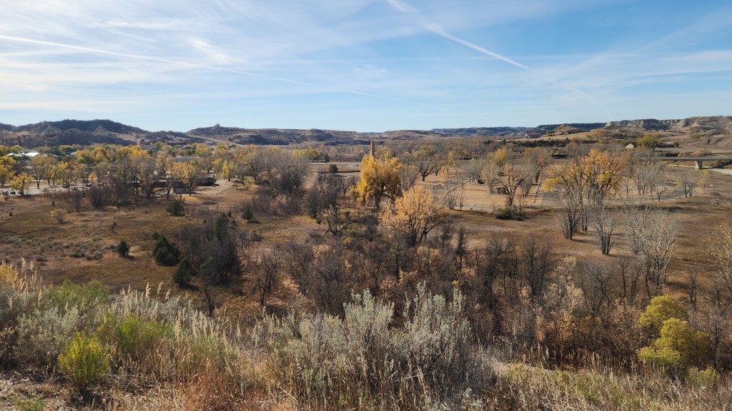
View of Medora, ND, from Theodore Roosevelt National Park
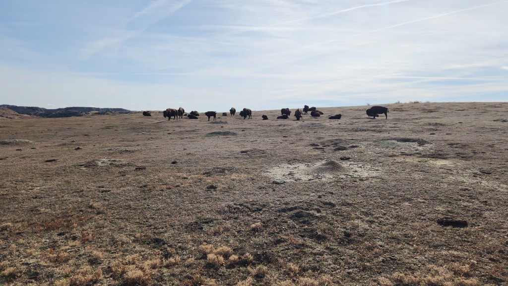
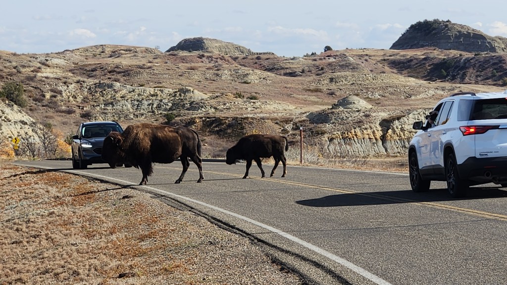
Bison at Theodore Roosevelt National Park
Kings of the Road …
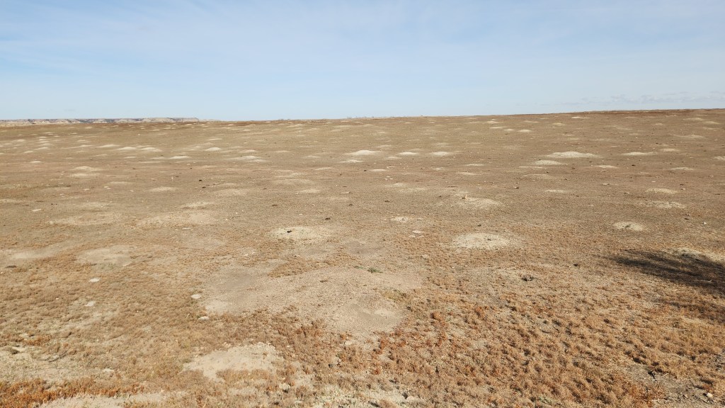
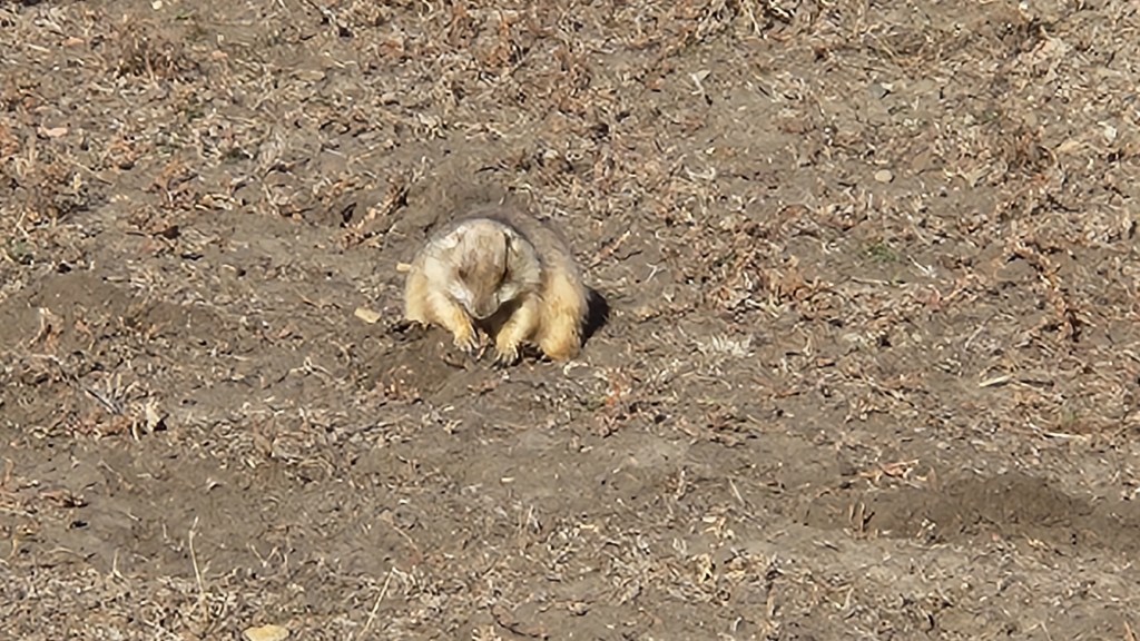
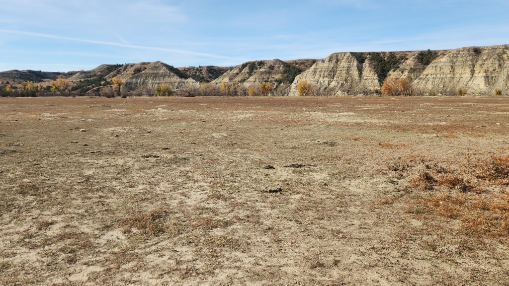
Prairie Dog Metropolis at Theodore Roosevelt National Park
Prince of the Prairie …
Another Prairie Dog Town
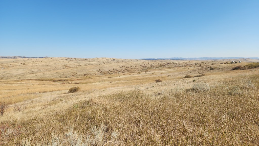
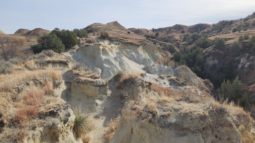
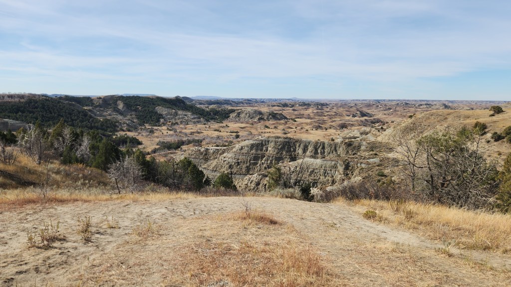
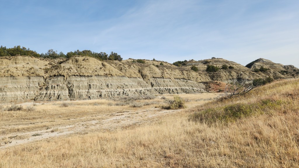
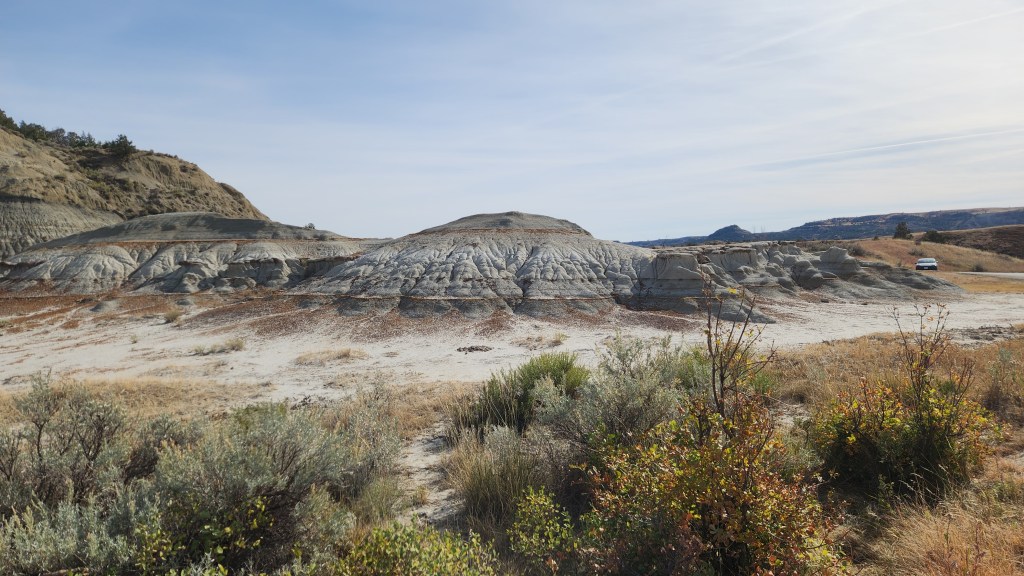
View from Scenic Loop at Theodore Roosevelt National Park
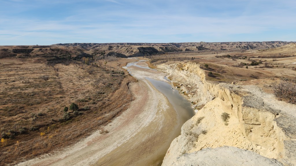
View of Little Missouri River from Nature Trail at Theodore Roosevelt National Park
View from Scenic Loop at Theodore Roosevelt National Park

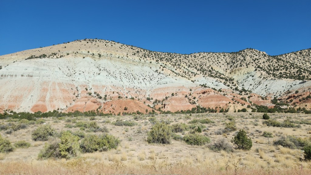
Scenery Along the Way: In addition to the main attractions described above, we also enjoyed beautiful scenery we encountered during many of the major stretches of driving. These sights only added to our enjoyment, so I thought I’d leave you with a few miscellaneous photos we took, some through the car windows and some from roadside stops.
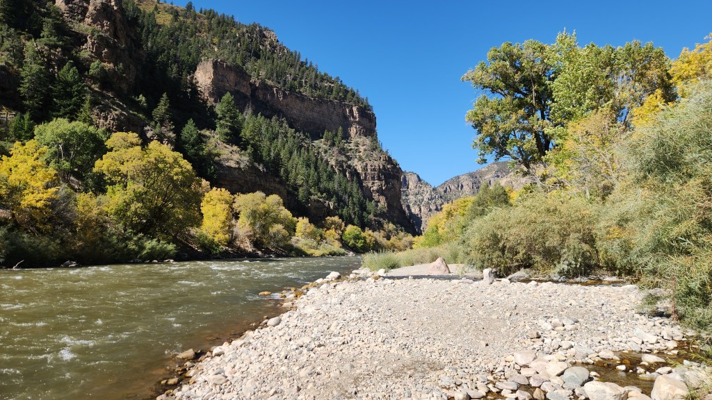
Colorado River, near Glenwood Springs, CO
On I70 in Utah, on the way to Bryce Canyon
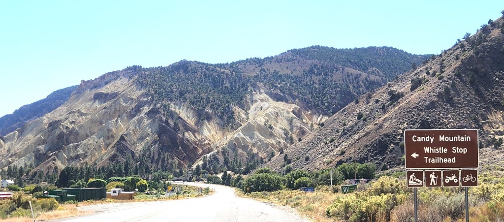
The “Candy Mountain” Along US Highway 89 in Utah
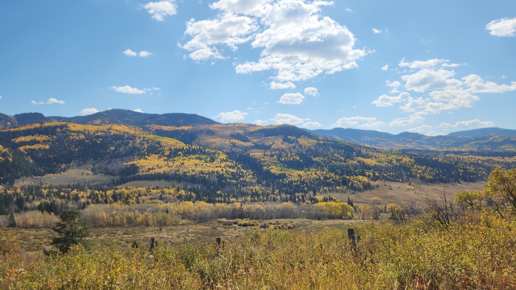
Fall Colors at Cumbres Pass in Colorado
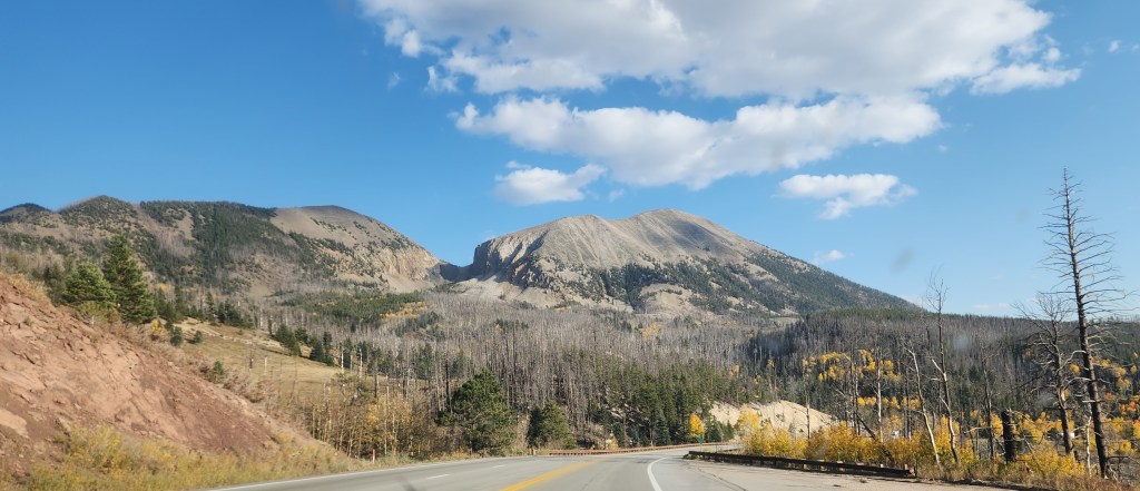
On US Highway 160 in Colorado

That wraps up my documentation of this fabulous trip. I won’t include a lengthy discussion of our Tesla Model 3 EV this time, as I did in relating our April trip to the Great Smokey Mountains. Let it suffice to say that this trip again showed that taking a road trip in an EV is easily done, requiring only a little more planning and patience than driving an ICE car. The Tesla performed very well throughout, and we had no problems finding available chargers. One difference on this trip was that we encountered other EV brands using some of the Tesla Superchargers, specifically including several Rivians and one Mustang Mach E.

Just to let readers know, you won’t have to wait too long for my next travel blog installment. Next up will be another Viking River Cruise, this time to Spain and Portugal in November. Bye for now!
Pat and Dave’s Nifty National Park Lark – PART 1

Fall has arrived and the golf courses are closed in northeastern Minnesota, which can only mean one thing. It must be time for another road trip travel blog! Sure enough, Pat and I have just recently returned from a road trip outing, which I will now attempt to memorialize. The trip was a classic example of our rather spontaneous, some might say haphazard, approach to car travel. In contrast to certain unnamed relatives, we do not go in for detailed planning of such things, though at least some aspects, such as lodging in high-demand locations, do need to be arranged in advance to ensure availability when desired. So, here’s how this latest trip began and then developed as time went by.

The central idea for the trip was actually born some two-and-a-half years ago, in May of 2022, when we spent one day visiting Bryce Canyon National Park as part of a previously documented road trip. In that earlier blog post, I made a vague reference to my aching knees. In fact, it was at Bryce Canyon that I finally decided I needed to have my severely arthritic knees replaced, since walking on the trails was extremely difficult for me. Add to that the fact that we did not actually drive our car into the park and were thus unable to visit places where the convenient shuttle bus route does not reach. Further add that we very much admired the look of the in-park lodge cabins as we strolled past them. As we were leaving, we decided that we would come back for a longer visit once I had my new knees, that we would stay in one of those nice cabins, and that we would drive all the way to the end of the park road to take in the full park experience. Fast forward to February of this year: I made a reservation for three nights in one of those little cabins, from October 5 through October 8, by which time I assumed the golf season in Grand Marais would be winding down. (Incidentally, the process for making the reservation was really convoluted, requiring multiple phone messages and callbacks rather than the expected few clicks on a web site. Government contractor inefficiency at its finest.) We put the dates on the calendar, leaving all further details of the trip to be determined later, and went on with our spring and summer activities.

Sometime around the end of September, Pat began to suggest that we maybe ought to start thinking about what else we might do as part of the road trip. After all, it seemed like a long way to drive for only a three-day visit to one National Park. “Let’s just book some hotels near EV chargers for the trip out there, and we can add some other stuff for the way back,” I suggested. So that’s what we did, after deciding that we would leave on October 1st. Once we took off, the trip developed organically, eventually turning out to cover 4,128 miles in our Tesla Model 3 with visits to six National Parks and one National Battlefield. Here’s a map of the journey:

NOTE: This brings our total of National Parks visited to 27, or 43% of all the National Parks in the US. Maybe we’ll get to them all someday, or at least a majority of them. We’ve now also visited 20 other paces operated by the National Park Service, including National Monuments, Conservation Areas, Wildlife Refuges and Sanctuaries, and Battlefields. All of these national treasures represent socialism at its finest, if you ask me.

Although I’ve included the various hotels on the map to illustrate our actual route (I left off the Moab Valley Inn for visual clarity), I won’t spend any time describing them, since we only spent one night at each of them except for two nights at the Moab Rustic Inn. Suffice it to say that reserving all of these places was very easy using various travel and lodging apps on Pat’s iPhone and that all of the accommodations were convenient and comfortable. (A side note for EV drivers: both the Casa Blanca Inn and Suites in Farmington, NM, and the Heartland Inn and Suites in Wheatland, WY, had free Tesla Destination Chargers. The Heartland one was unusual in that there was also a Tesla Supercharger at a different location in the hotel parking lot.)

OK, now let’s move on with some descriptions of the main attractions, in chronological order.

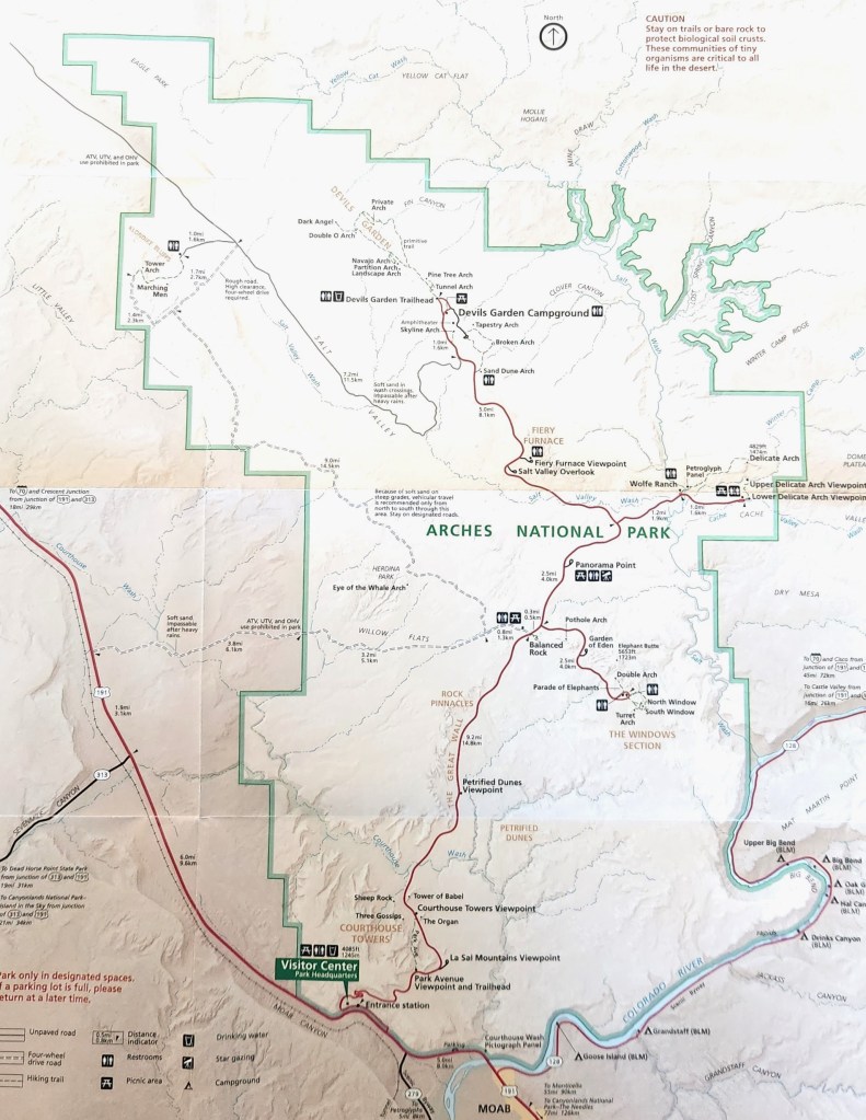
Arches National Park (October 4): We arrived at the Moab Rustic Inn shortly before 4 PM on October 3. At 7 PM, I used the Recreation.gov app on my phone to obtain a timed visitor’s pass for access to the National Park between 10 and 11 AM the following morning. The National Park requires these passes, which cost $2 per car, during prime visiting hours in order to manage traffic in the park. (As I understand it, a pass is not needed for access before 7 AM or after 5 PM.) We obtained free entry to the park using my Lifetime Senior Pass, as we did at all of the other NPS sites during the trip. Here’s a map of the park, which covers 76,680 acres (120 square miles):

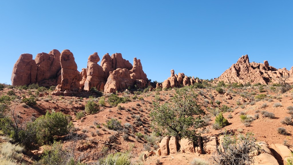
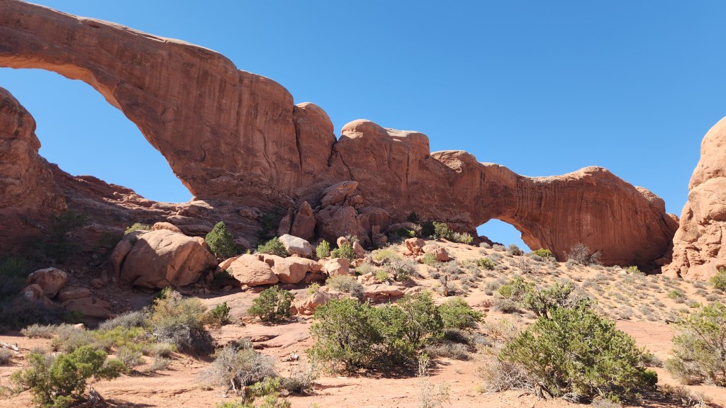
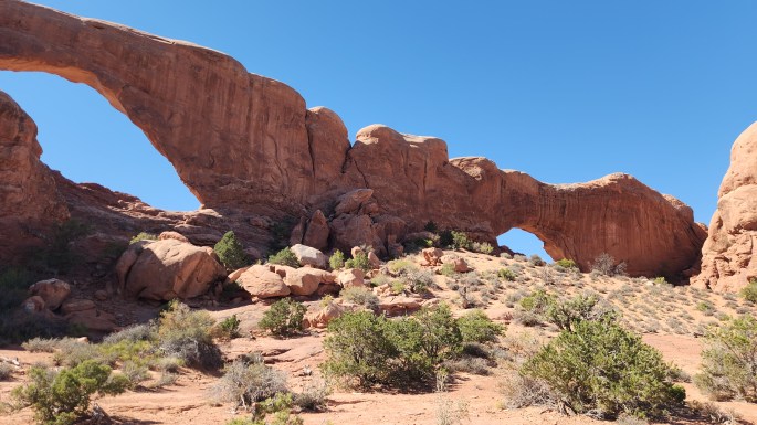
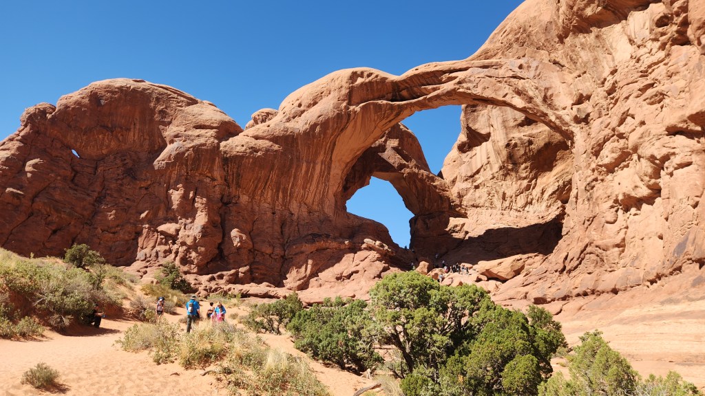
After stopping at the Visitor Center to watch an excellent movie about the park and buy a souvenir T-shirt, we spent about 6 hours driving along the excellent road through the park and stopping at multiple points of interest. The park includes over 2,000 natural sandstone arches, of which we saw about 20, a multitude of fascinating rock formations, and a limitless number of stunning vistas. We walked along the one-mile Windows Trail for some excellent views of the Windows Arches, then returned by the 1.2-mile primitive trail, which provided a good test for my new knees. I did use walking sticks due to the rough terrain on the primitive trail, but I was quite pleased with how it went. I couldn’t quite keep up with my younger and spryer wife, but I didn’t feel like a near invalid as I did back in 2022.

Enough words – here are some pictures:

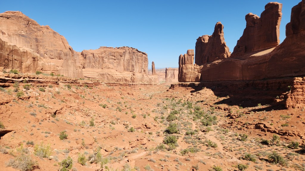
Courthouse Towers Viewpoint
Courthouse Tower Viewpoint
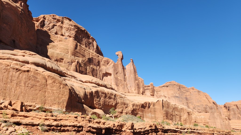
Rock Formations at Arches National Park
The Windows Arches
View from Windows Arch Primitive Trail
The Double Arch
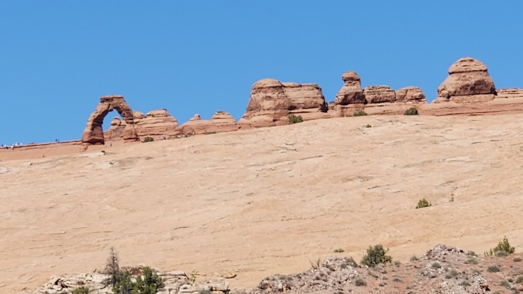
The Delicate Arch
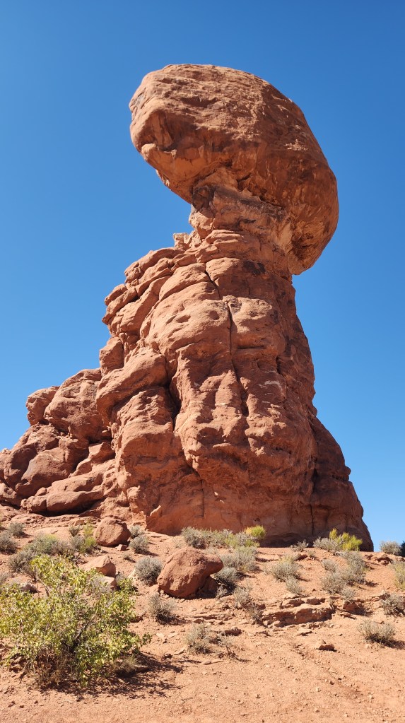
Balanced Rock
Interesting Terrain at Arches National Park

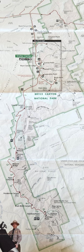
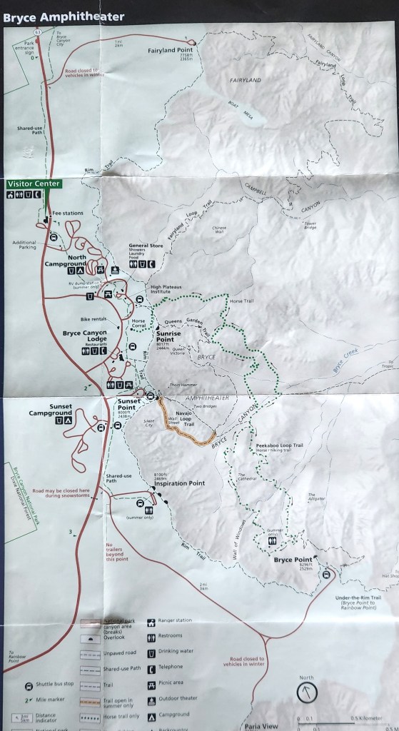
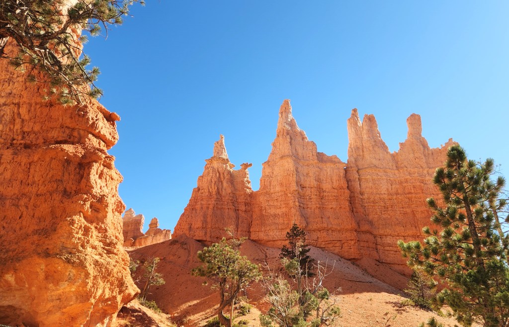
Bryce Canyon National Park (October 5 – 7): After our second night at the Moab Rustic Inn, we drove to Bryce Canyon National Park, which, as noted above, was the central idea for the road trip. Bryce manages traffic in the park by means of their free shuttle service and thus does not require timed entry passes. The shuttle picks up passengers who stay in the nearby town of Bryce Canyon City (as we did for our 2022 visit) or at the Visitor Center and ferries them around a loop to various points of interest in the Bryce Amphitheater as shown in the following maps:

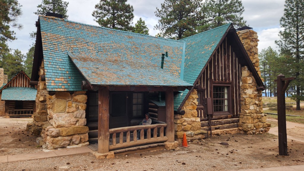
This time, we drove directly into the park (using my Senior Pass for entry) and to the Bryce Canyon area Lodge, where we checked in to Room 526, one-half of a lovely duplex cottage. The accommodations were very comfortable, with a gas fireplace, two queen beds, a bathroom, and a dressing area – the only drawback was the lack of Wi-Fi (heaven forbid!) in our room. Wi-Fi was available in and around the main lodge, however, and I occasionally got a cell signal in our room, so we weren’t exactly roughing it. The lodge has an excellent dining room, where we had breakfast and dinner each day, and there are a couple of nearby places where we could get lunch. Here’s a photo of the cottage – note the interesting roof tile construction which gives an optical illusion of a wavy surface.

Our Cottage at Bryce Canyon National Park

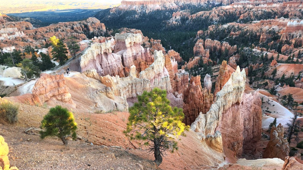
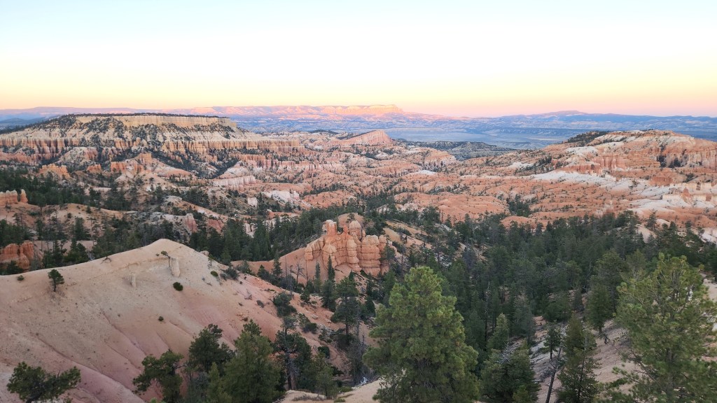
We spent the afternoon and evening of the 5th walking along the paths near the lodge, oohing and aahing at the spectacular views from the canyon rim, and I easily traversed the very same paths I was nearly unable to manage in 2022.

View from the Bryce Canyon Rim
View from Bryce Canyon Rim at Sunrise Point

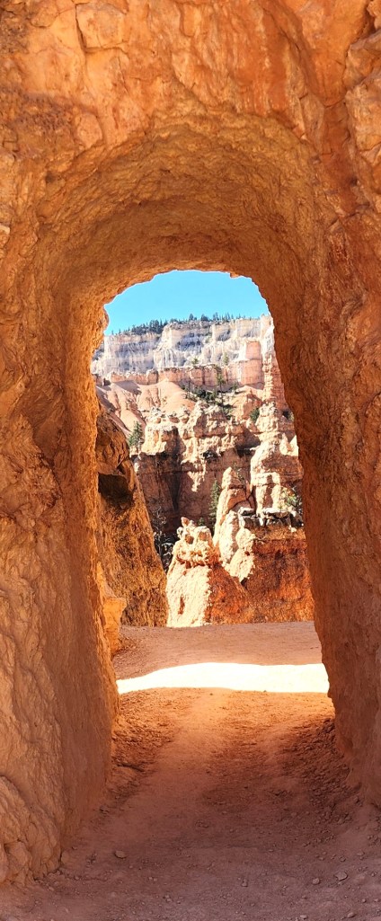
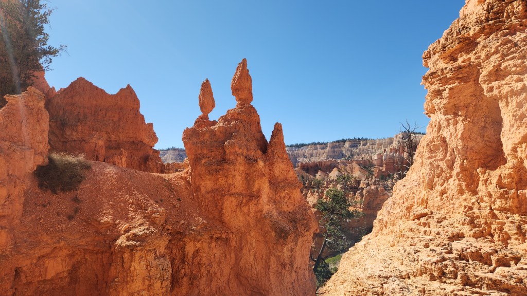
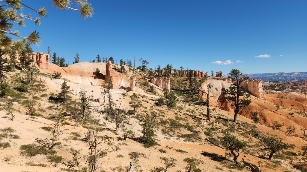
The next day, we took a hike on the Navajo Loop Trail, which meanders 450 feet down into the canyon, then returned to the rim on the Queen’s Garden Trail, some 2.9 miles in total. It was especially fascinating to see the rock formations and the foliage from the canyon floor, which provided a very different perspective than the view from the rim.

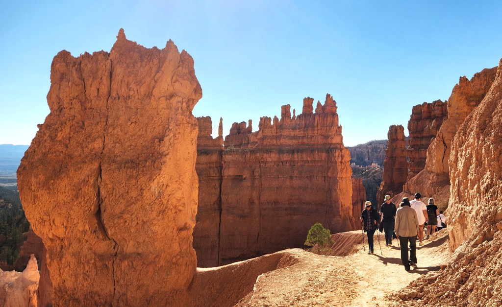
Navajo Loop Trail
Navajo Loop Trail
Navajo Loop Trail
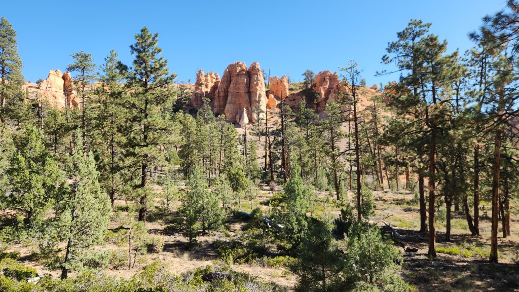
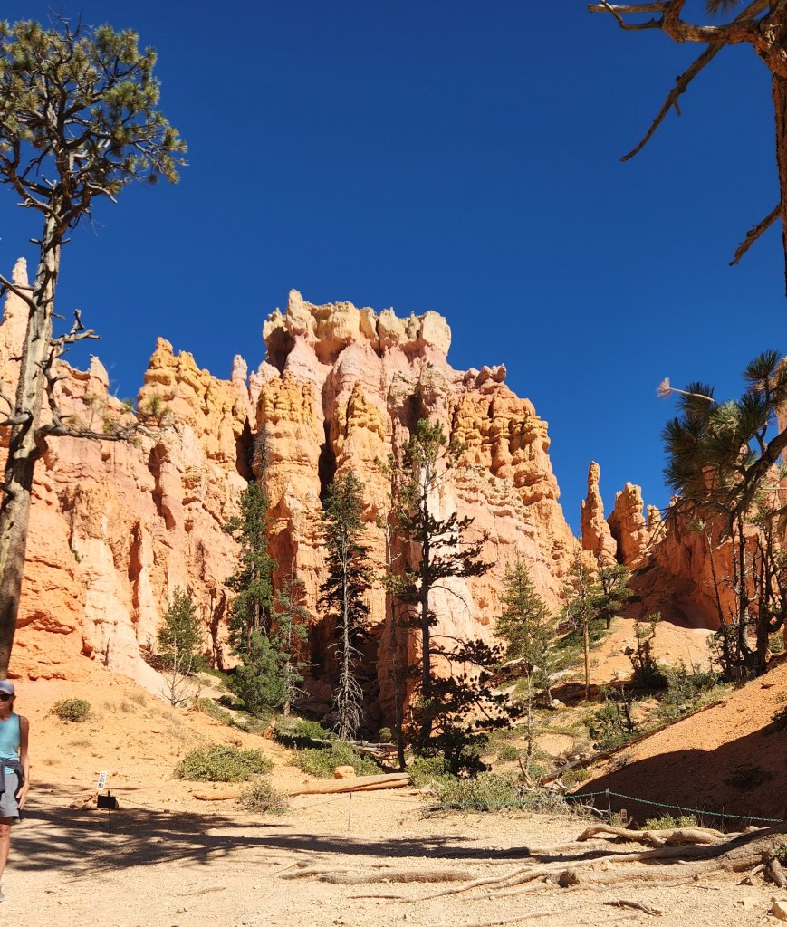
Queen’s Garden Trail
View from Queen’s Garden Trail
Queen’s Garden Trail
View from Queen’s Garden Trail
Queen’s Garden Trail

After our hike, we took the shuttle bus to the Visitor Center for, what else, a movie about the park and a souvenir T-shirt, then rode the shuttle back to the Lodge. On the third day, we drove along the excellent park road to Rainbow Point, the highest elevation in the park at 9,115 ft, and walked along the easy, 1-mile Bristlecone Trail. On the way back to our cottage, we stopped at all the points of interest and took another short walk from Fairview Point to Piracy Point.

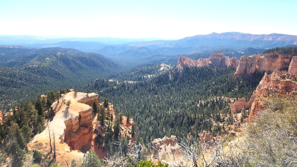
View from Farview Point
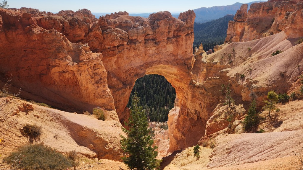
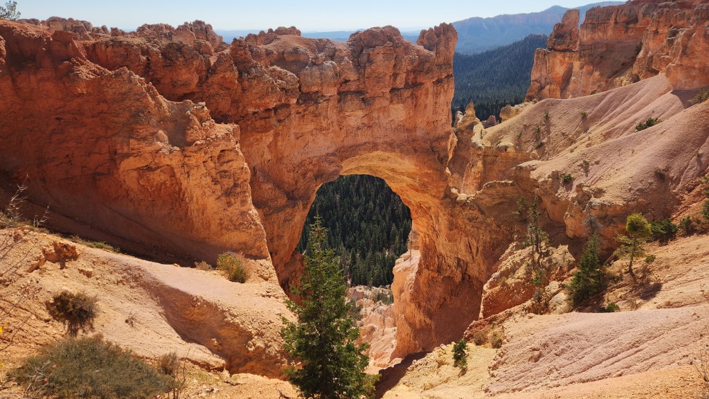
Natural Bridge
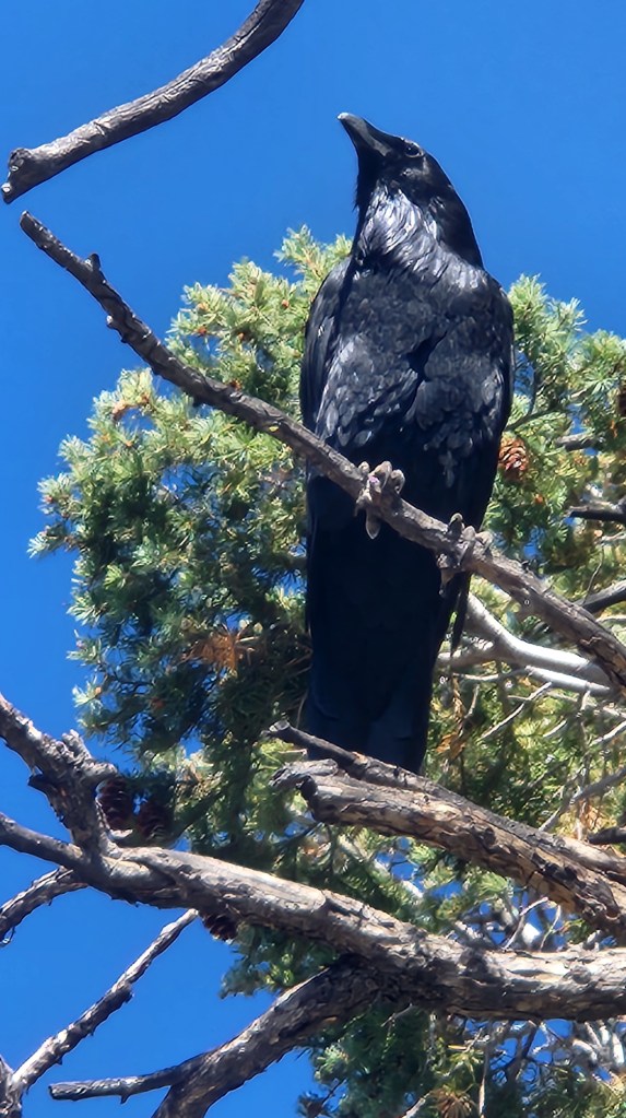
Quoth the Raven … near Piracy Point

Another feature of the park is its certification as a dark skies location. I stepped outside a couple of times during the night to take in the stars, which looked especially bright in comparison to the views from the various hotels we had been staying in, or for that matter from our Minneapolis condo, but not too dissimilar to that from our Grand Marais summer home. All in all, the Bryce Canyon visit was an excellent cornerstone for our road trip.

Canyonlands National Park (October 8): After leaving Bryce Canyon, we retraced our steps toward Moab and then drove to the Canyonlands Island in the Sky Visitor Center from the north. The visitor center was smaller than those at Arches and Bryce, and there were fewer visitors. This may be due to the presence of the Needles Visitor Center which is accessed from the south and which we did not visit. We arrived at the Visitor Center at around 3 PM and, after watching another excellent movie (no T-shirt this time), spent about two hours driving to the Grand View Overlook and back again, with several stops including a short walk to see the Mesa Arch.

Canyonlands National Park
Overlook at Canyonlands
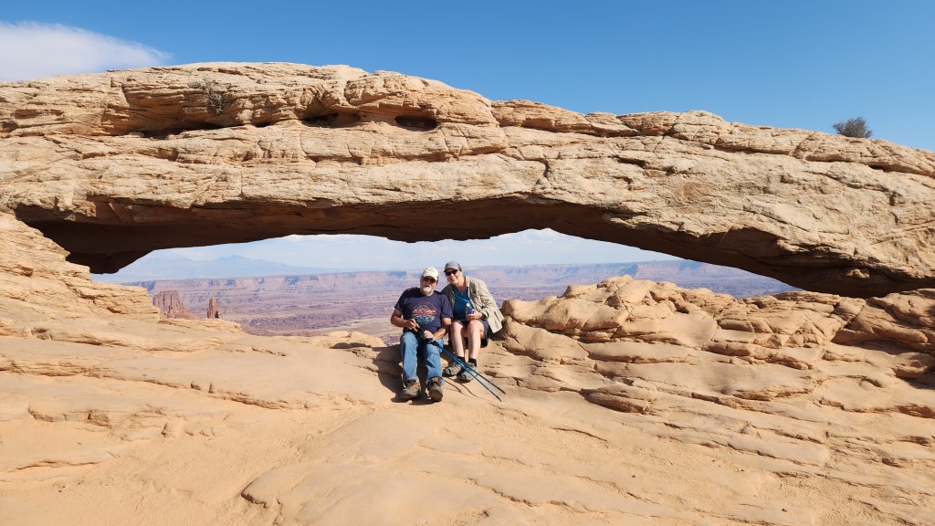
Mesa Arch at Canyonlands
Green River Overlook at Canyonlands
Canyonlands National Park

OK, that’s it for Part 1. Thanks for reading, and stay tuned for the three remaining National Parks and the National Battlefield, as well as some pictures of the scenery we encountered at various points during the journey, all coming in Part 2.

Pat and Dave’s West Coast Wayfaring – PART 2: Points of Interest

My most recent blog post described our multi-modal travel to Oregon and back – by airplane, automobile, and train – during June of 2024. That post focused primarily on the modes of travel involved, but I pledged to add another post describing the beautiful places we visited during the automobile portion of the trip. True to my word, here it is.

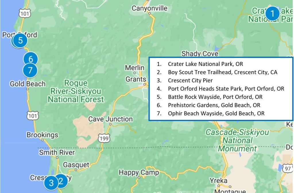
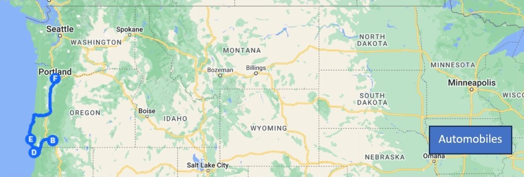
The map below shows the main places we visited in Oregon and northernmost California. Brief descriptions of these points of interest are provided below.

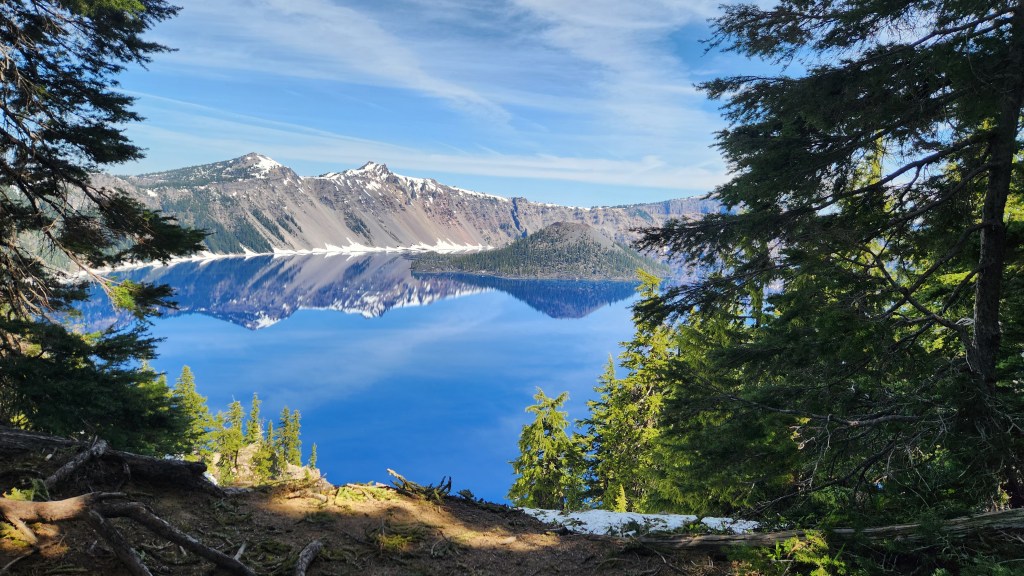
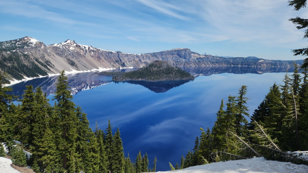
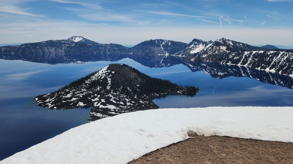
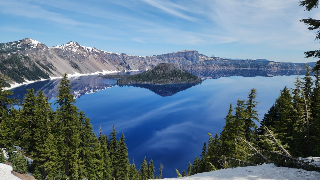
Crater Lake National Park, OR: On our second day in Oregon, in-laws Andy and Barb drove us to visit Crater Lake and served as our tour guides, since they had been there several times before. It was my first visit and Pat’s second, becoming the 39th National Park that we have visited together. I had seen pictures of the lake, but that had not prepared me for the beauty of the place. I’ve included some photos I took myself, but they also fail to do justice to this magnificent national treasure.

Crater Lake was formed when a massive eruption 7,700 years ago decimated a mountain peak and created in its place a deep basin. Centuries of rain and snow filled the basin, creating the deepest lake in the United States (1,943 feet at its deepest point) with water of stunning color and clarity. The lake is 6 miles across at its widest point and 4.5 miles across at its narrowest and contains 4.9 trillion gallons of water. The lake level is maintained by precipitation, with rain and melted snow averaging 5.5 ft annually. The National Park is open year-round, but the rim road is typically closed from mid-October to late June, with annual snowfall accumulations ranging from 25 to 50 feet over the past five years. The road was still closed during our visit, so we were unable to drive all the way around it, but we did walk along the rim trail near the Visitor Center to experience a multitude of amazing views. Since a picture is said to be worth 10,000 words, here are 60,000 eliminated words for your viewing enjoyment.

View from the Rim Trail, Crater Lake National Park
View from the Rim Road at the last open overlook, Crater Lake National Park
Relaxing along the Rim Trail, Crater Lake National Park
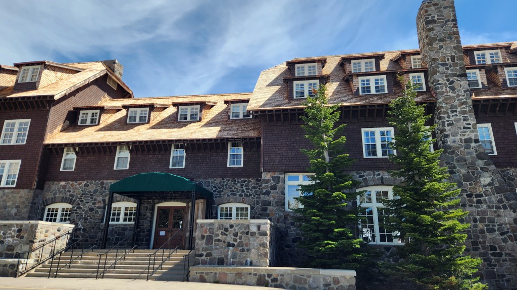
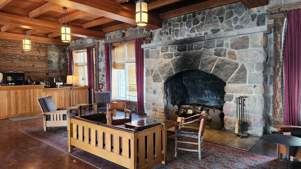
Visitor’s Lodge, Crater Lake National Park

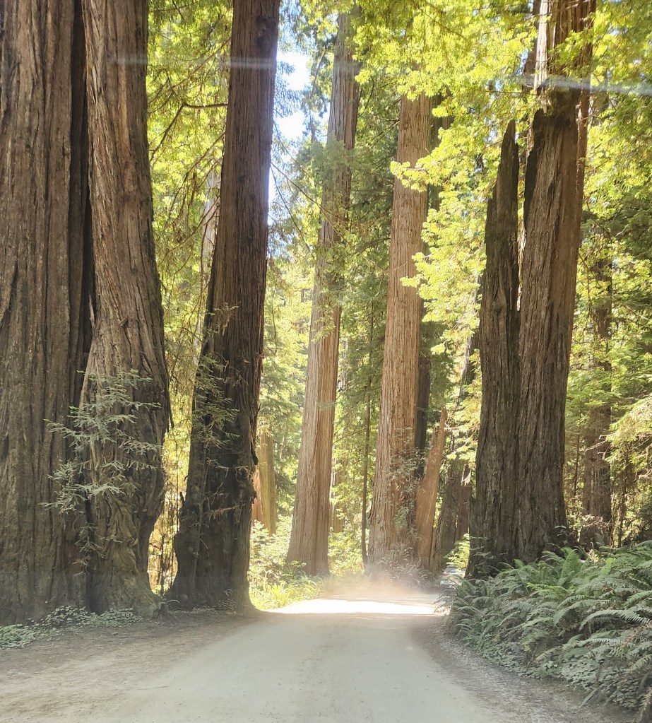
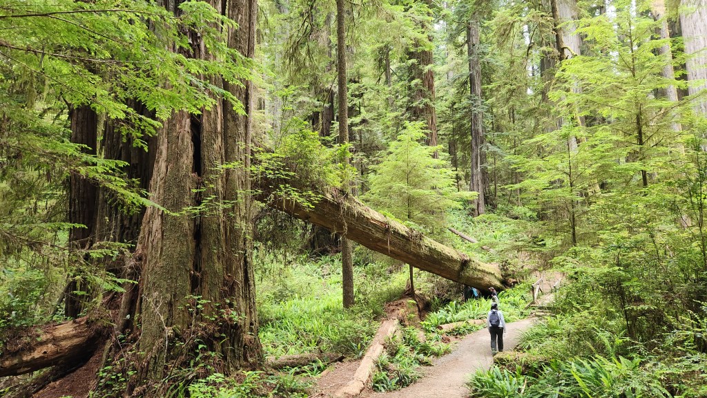
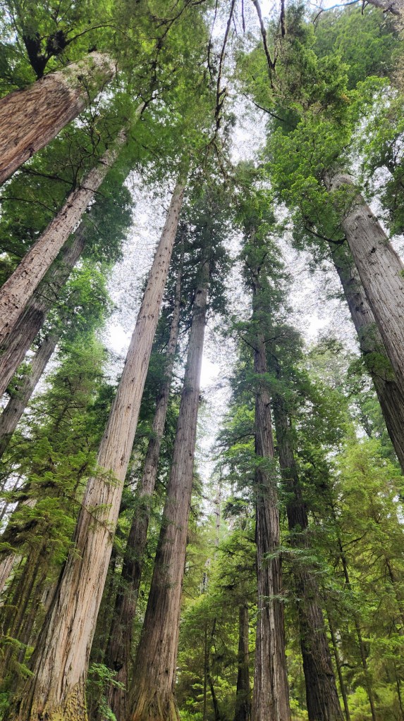
Boy Scout Tree Trail, Crescent City, CA: After two days staying in Medford, OR, including our visit to Crater Lake, we drove along an amazing road, US Highway 199, that wound its way steeply up and down and around a multitude of sharp curves as it traversed the mountains toward Crescent City, CA. As we neared Crescent City, we got off the main highway to take small, forest roads into the Jedediah Smith Redwoods State Park. The most amazing of these was called Howland Hill Road, a mere dirt path that wound its way through giant redwood trees. We stopped at the Boy Scout Tree Trailhead and walked about a mile and a half into the forest to admire magnificent trees and beautiful wildflowers. Again, the pictures can not truly capture the immensity of these ancient trees, but I’ll once again dispense with 60,000 words.

Howland Hill Road, near Crescent City, CA
The Boy Scout Tree Trail, Jedediah Smith State Forest, CA
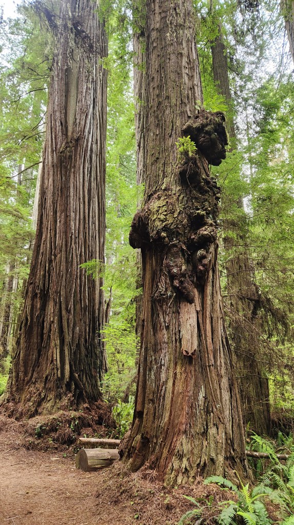
Interesting Redwoods with Burls along the Boy Scout Tree Trail
Tree Blossom along the Boy Scout Tree Trail
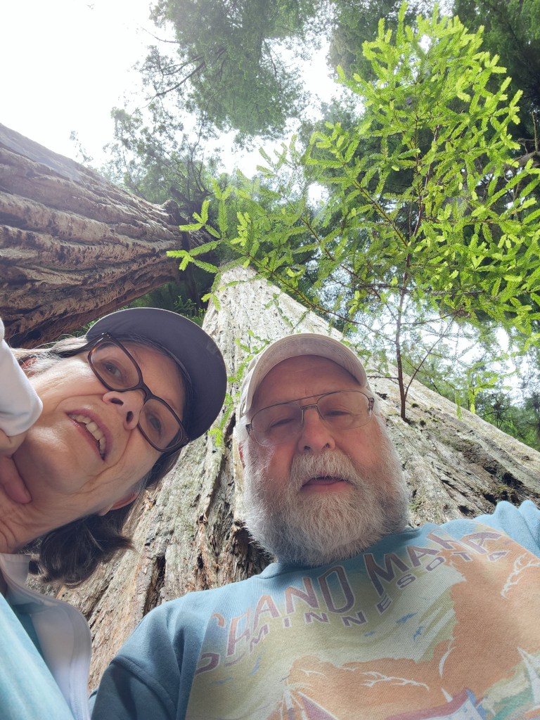
My Attempt to Illustrate the Immensity of the Redwoods
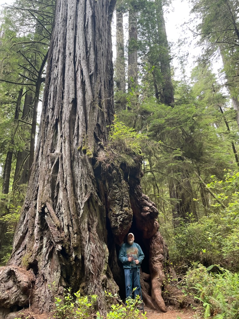
Feeling Puny along the Boy Scout Tree Trail

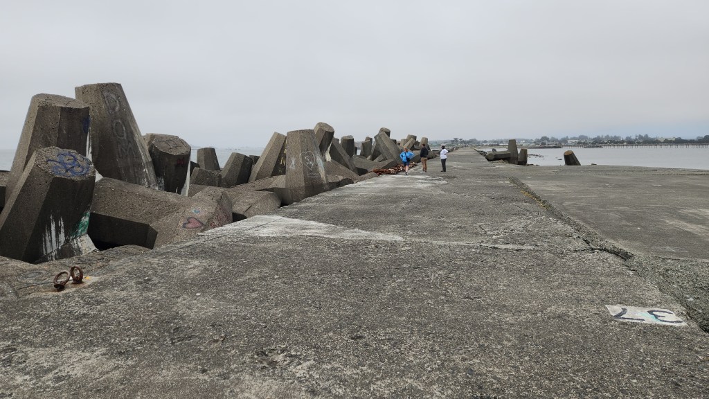
Crescent City Breakwater: After our walk in the woods, feeling quite puny and insignificant compared to the massive trees, we again drove along Howland Hill Road until it emerged from the forest and morphed into a city street. Once in Crescent City itself, we had a nice lunch at SeaQuake Brewing (I had clam chowder and a hearty stout) before taking a short walk to the nearby breakwater. This structure is known for its unusual design, employing concrete structures called tetrapods, designed by the US Army Corps of Engineers in the 1950s to serve as protection against the heavy ocean waves that frequently impinge on the pier. I found these tetrapods fascinating, given my nerdy engineer curiosity, so I’m calling this a point of interest even though others may not be overly impressed.

Crescent City Breakwater with Tetrapods
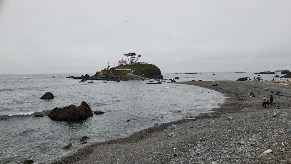
Crescent City Lighthouse viewed from Breakwater

Port Orford Heads State Park, Port Orford, OR: As I explained in Part 1, visiting this location was the underlying purpose of the whole Oregon excursion – to visit the site where our nephew, Steve, and his wife, Kelci, were married in a quiet ceremony last year, so we could celebrate the event with them post facto. The assembled relatives all trooped along a lovely walking path to the overlook where the nuptials took place and gave the newlyweds our collective congratulations. As we stood looking out at the surroundings, I couldn’t resist the urge to say a few words of purported wisdom to the happy couple. Here’s what I came up with:

“I’m very happy that you chose such a beautiful place to say your wedding vows, because it can serve as a symbol of your future life together. I say this because there is nothing in the world more beautiful than the love shared between life partners.”

Okay, maybe a bit sappy, but there you have it. Now for some more word-saving photos.

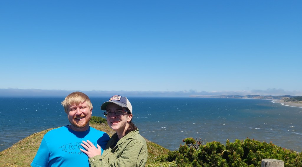
The Happy Couple at Their Wedding Site
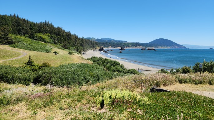
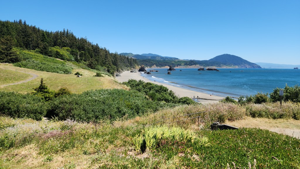
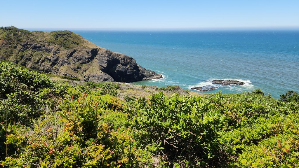
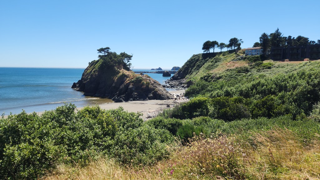
Port Orford Head State Park, Port Orford, OR
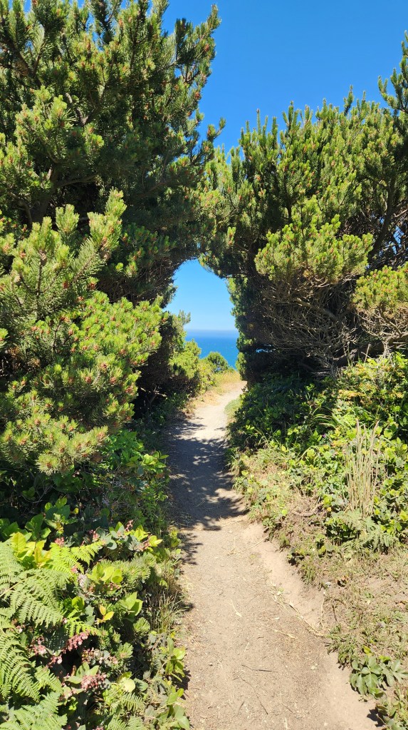
Foliage Along Walking Path at Port Orford Head State Park
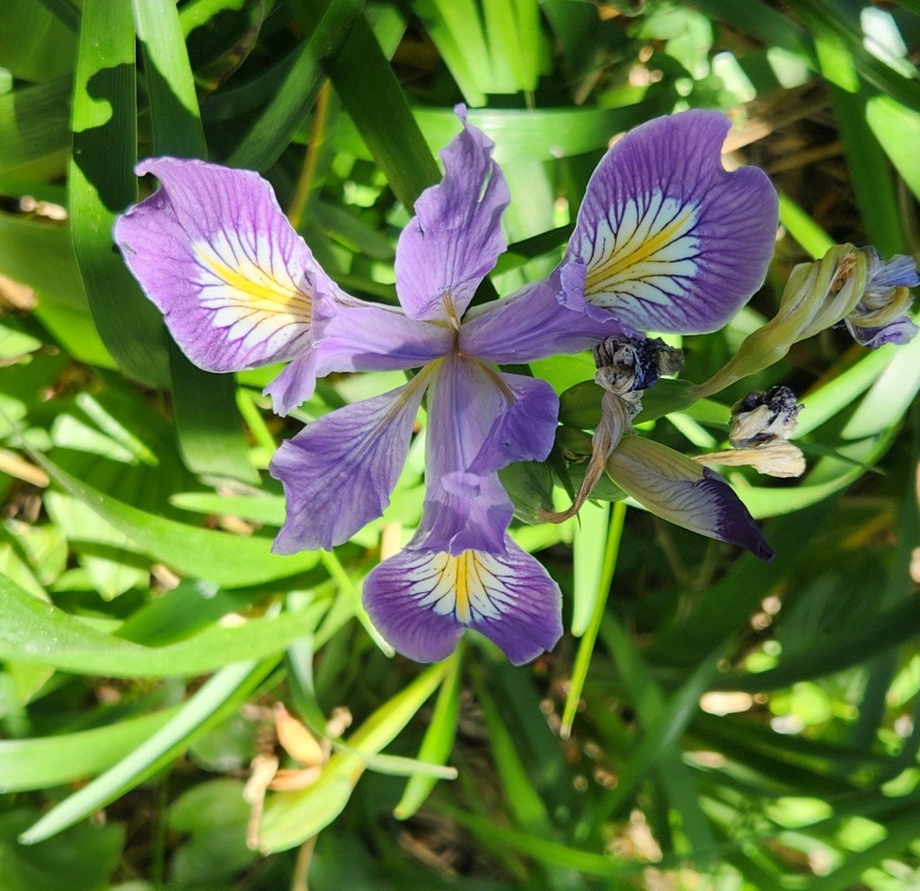
Wildflower Along Walking Path at Port Orford Head State Park

Battle Rock Wayside, Port Orford, OR: After our visit to the State Park, we drove to the nearby town of Port Orford for a great lunch at a place called The Crazy Norwegian’s Fish and Chips and then walked to a nice little beachside park called the Battle Rock Wayside. While the name comes from one of the many unfortunate moments in American history (a battle between white settlers and indigenous people who were being unceremoniously expelled from their supposed treaty lands), it was actually a very beautiful place, and we spent some time roaming the beach and enjoying the scenic overlooks.

Overlook at Battle Rock Wayside, Port Orford, OR
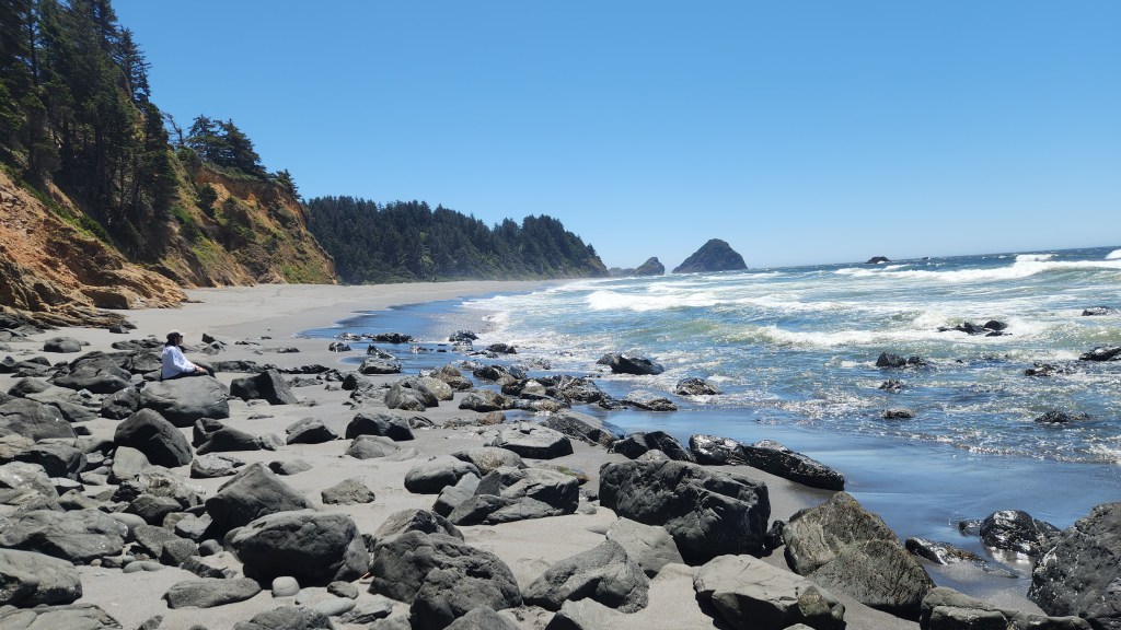
Beach at Battle Rock Wayside
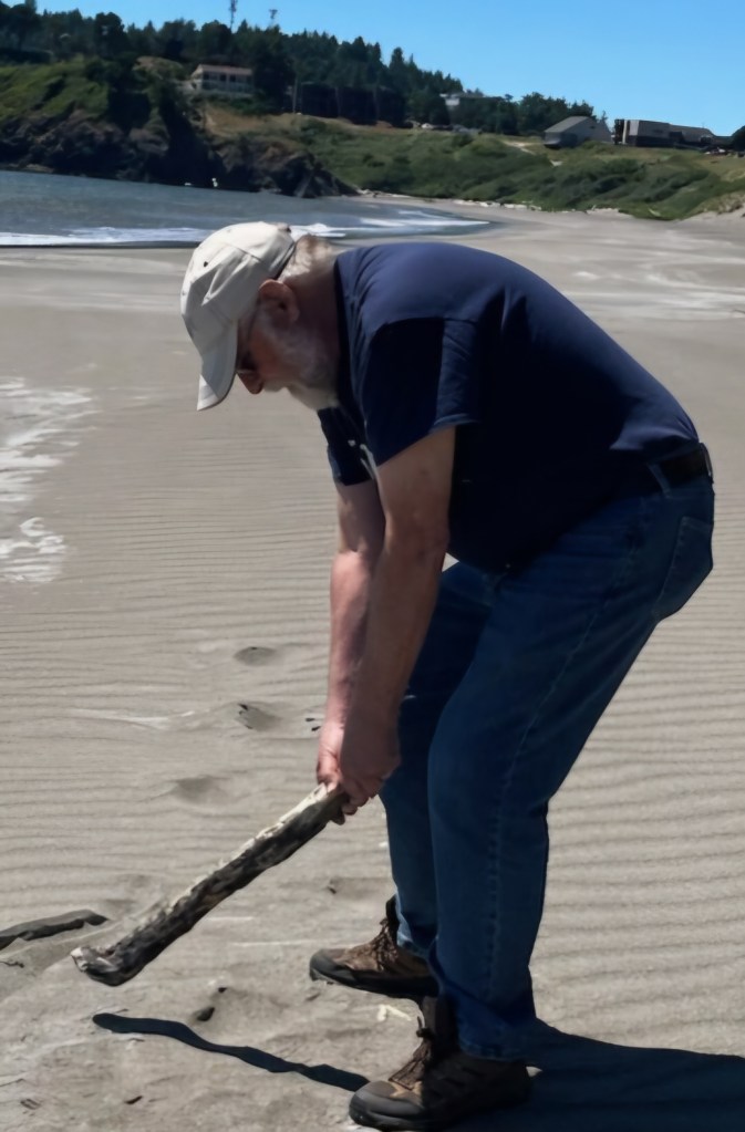
A new Driver? On the Beach at Battle Rock Wayside

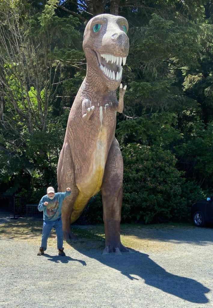
Prehistoric Gardens, Gold Beach, OR: Calling this one a point of interest is a bit of a stretch. It’s a tourist attraction featuring 23 life-sized sculptures of dinosaurs set among the lush foliage of the area’s temperate rainforest. The gardens are the work of an amateur paleontologist in the 1950s, but I presume it’s mainly the sort of place people stop to entertain their kids. Unfortunately for our little tour group, it did include one big kid – me. So, we had to make a quick stop on the way back from Port Orford so I could pose with the big T-Rex that’s visible from the highway. We didn’t actually go into the gardens, though, so I can’t really give an opinion on whether or not it’s a worthwhile stop.

Some People Never Grow Up

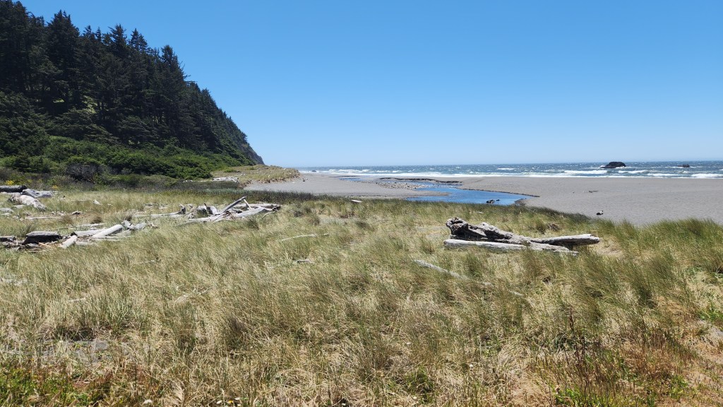
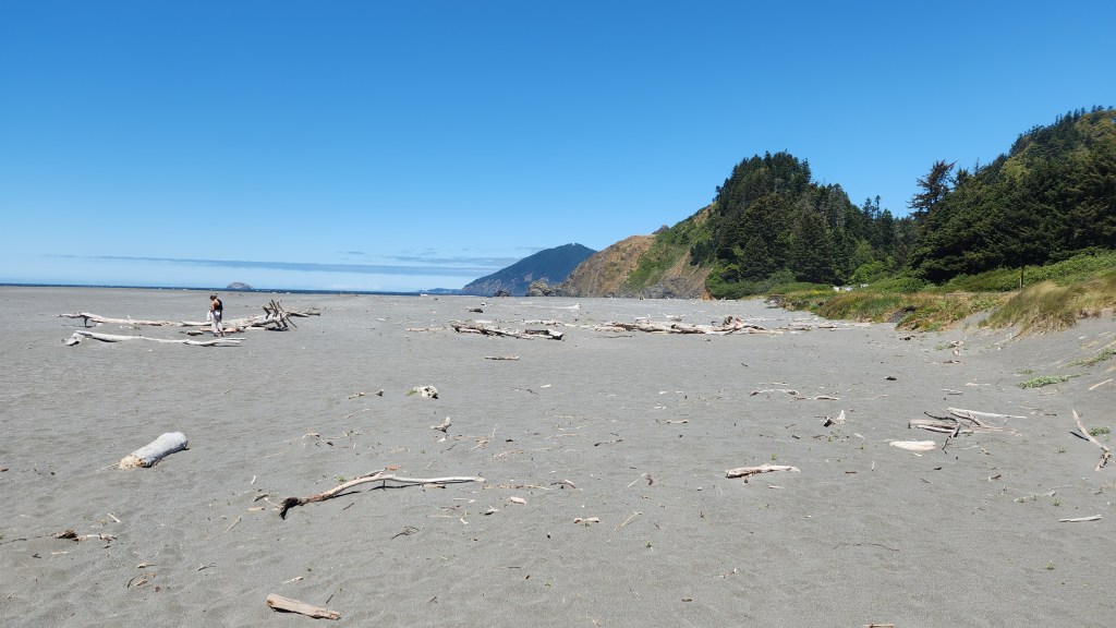
Ophir Beach Wayside, Gold Beach, OR: On our last day before heading off to catch the train in Portland, we visited one of the many nice waysides along US Highway 101. Ophir Beach is a long, sandy beach divided by a small creek that emerges from the hillside area east of the highway. We enjoyed beautiful views of the ocean and the sandy hills as well as interesting driftwood and other objects strewn along the sand.

View from Ophir Beach Wayside, near Gold Beach, OR
Driftwood at Ophir Beach
Ophir Beach
Ophir Beach
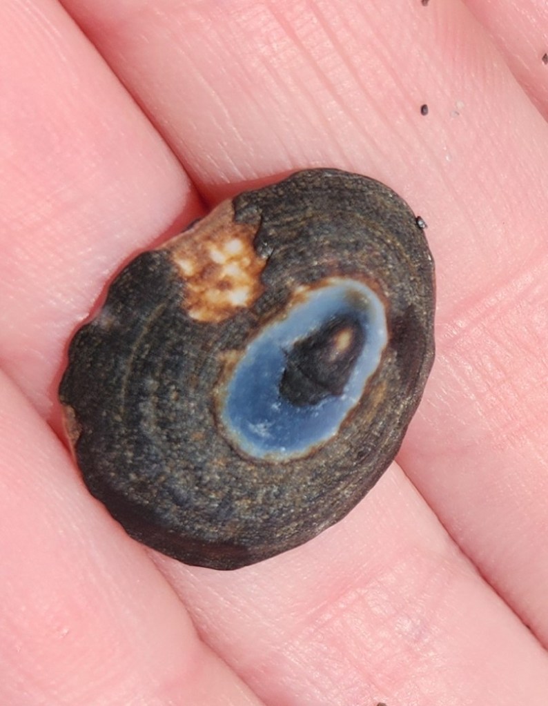
Object found at Ophir Beach
Detritus on Ophir Beach

Miscellaneous: Finally, to round out this narrative, I have a couple more photos I want to share from other places we passed by during the trip.

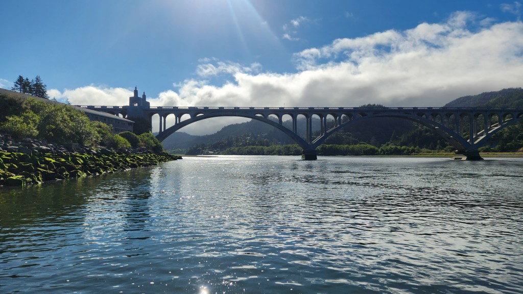
Rogue River seen from Jot’s Resort, Gold Beach, OR
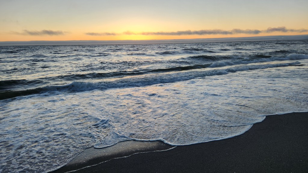
Sunset along Oregon Coast near Gold Beach, OR

OK, that’s it for this installment of my travel blog. Thanks for reading, and stay tuned for our next adventure, coming in October of 2024.

Pat and Dave’s West Coast Wayfaring – PART 1: Planes, Trains, and Automobiles

I recently reported on a trip we took with our new Tesla to the Great Smoky Mountains in April of 2024. The electronic ink is barely dry on that one, and here I am writing another post about our most recent travels. This time, we were inspired to head to the west coast to visit our nephew, Steve, and his new bride, Kelsi, in Medford, OR. The happy couple married last year in a small, intimate ceremony by the sea, depriving the lad’s mother of the opportunity to attend another wedding. To rectify this situation, the newlyweds agreed to a visit from a few family members, during which we would go to the site of their wedding vows and wish them well in their new life together.

The simplest way to make this trip would have been to fly to their Oregon hometown and impose on them to pick us up, put us up at their house, ferry us around for a day or two, and then drop us back at the airport. However, this did not seem like a good way to celebrate the big event, much less to be seen as thoughtful aunt- and uncle-in-law, so we thought better of suggesting that. Instead, we came up with a more adventurous plan – I have to credit Pat for thinking of it – involving the abovementioned planes, trains, and automobiles.

NOTE: Those readers who aren’t as advanced in years may not catch the reference: it comes from the classic 1987 comedy starring John Candy and Steve Martin. To be more chronologically and syntactically precise, I should call it planes, automobiles, and train, but that doesn’t quite have the same ring to it.

At any rate, in this first episode, I’ll mostly focus on the multimodal travel involved, saving more details about the beautiful places we visited during the automobiles portion for a future Part 2. So, here we go.

Wednesday, June 19, 2024: We rolled out of bed in our Minneapolis condo at 4:15 AM, performing the necessary toiletries before sleepily rolling our luggage down to the lobby and exiting the building precisely as Mustaf, our friendly Lyft driver, pulled to the curb at 5:00. We were at MSP airport by 5:23, well in advance of our flight departure. (We were thankful that Lyft is still serving Minneapolis despite the threat of abandoning the city over a proposed ordinance mandating driver pay increases, which was subsequently made moot by a state law negotiated between Lyft, Uber, and Governor Tim Walz, among others. I have been very pleased with the service provided by Lyft in the past, and I hope they continue to be successful under the new law.)

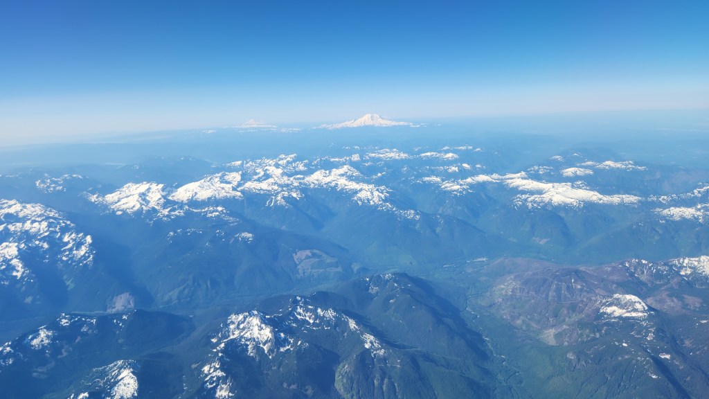
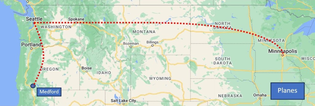
The first leg of the flight did not get off to the best start, as high, shifting winds led to a change in runways and a long line of planes waiting to take off, but we eventually did get airborne some 45 minutes late and arrived in Seattle with enough time to catch the next hop to Medford. Along the way, I enjoyed gazing out the airplane window, as the sky was very clear, and soon realized that I could use the Google Maps app on my phone to track along the terrain we were flying above and identify the various rivers, mountains, highways, and towns as we passed by. (Just the sort of nerdy thing you might expect from me, eh?) I tried to get some photos, but most didn’t turn out. Here’s one that wasn’t too bad, followed by a map of the Planes portion of the journey.

View from the Airplane with Mount Adams, WA, (I think) in the distance

We arrived at the somewhat ostentatiously named Rogue Valley International Airport in Medford shortly after noon Pacific time. We had reserved a rental car from Enterprise, so I proceeded to the minuscule rental desk, staffed by two young women, while Pat collected our luggage. Despite the fact that I was the only customer, it took about a half-hour before I had actually succeeded in renting the car. The first young woman’s iPad crashed after I had checked all the appropriate boxes and signed with my fingertip, and the second young woman spent an inordinate amount of time answering questions from someone who wasn’t even renting a car before finally starting over with me on her iPad. Meanwhile, the status of the Rogue Valley International Airport continued to diminish in my mind as I waited impatiently.

Ay any rate, we finally managed to get a car, a nice Toyota Corolla – at least nice enough for an ICE car. It took me a while to get used to driving it, especially the part about having to step on the brakes to make it stop. I’ve become so used to the regenerative braking in our EVs that it seemed odd – I must have used the brakes more during our six days in Oregon than I have in the past three years with our Teslas. The car handled and performed very well, though, and got an impressive 44.36 mpg. Gasoline cost us an average of $4.28, so it still cost about $0.10 per mile for fuel. I hope to go back to Oregon sometime with our newer Tesla so I can find out what it would cost to drive an EV there.

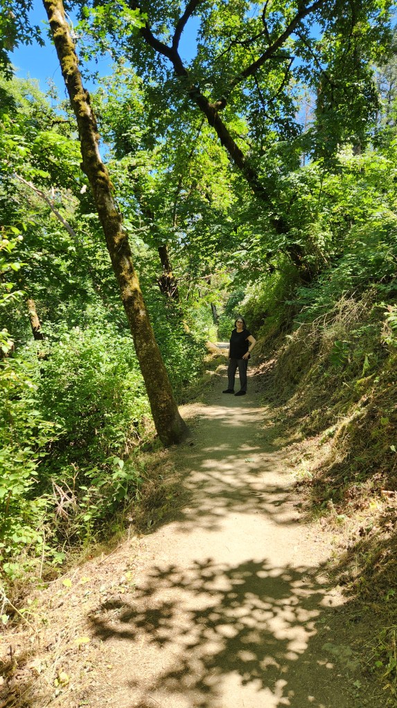
After renting the car, we headed off to a nice place called Noho’s Hawaiian Café where I had a delicious but huge lunch of barbecued pulled pork (which I finally finished two days later). The rest of the day was taken up by a brief hike at a nearby park called the Jacksonville Forest Trails, checking into our hotel (Medford Hampton Inn), and dinner at a lovely restaurant called The Point Pub and Grill in neighboring Central Point, OR, with the newlyweds and our nephew’s parents (who traveled separately by car to meet us out there).

Pat on our Hike at Jackson Forest Trails
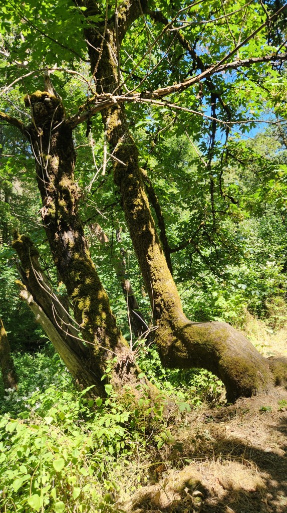
Interesting Tree at Jackson Hiking Trails

Thursday, June 20 – Monday, June 24, 2024: During this period, we rode in a total of three automobiles: our rental Toyota, brother-in-law Andy and sister-in-law Barb’s Honda CR-V, and nephew Steve’s Honda Pilot. On Thursday, Andy drove Pat, Barb, and me to visit Crater Lake. On Friday, Pat and I drove the rental car out to the Pacific Coast, where we stayed for three nights at Jot’s Resort in Gold Beach, OR, and visited with the assembled rellies (Steve, Kelsi, Andy, Barb, and Steve’s cousin Grace Ann) at an Airbnb they had rented, located about eight miles north along the coast. On Saturday, Steve drove us all from the Airbnb to the Port Orford Heads State Park, the site of last year’s wedding, and to the town of Port Orford. On Sunday, Steve again drove us from the Airbnb to a lovely spot called Ophir Beach. On Monday, Pat and I drove to Portland to catch the train. I’ll report in detail on all this in Part 2, but here are a map of the Automobiles portion of the trip and a few teaser photos:

Crater Lake National Park, Oregon
Dwarfed by Redwoods along Boy Scout Tree Trail near Crescent City, CA
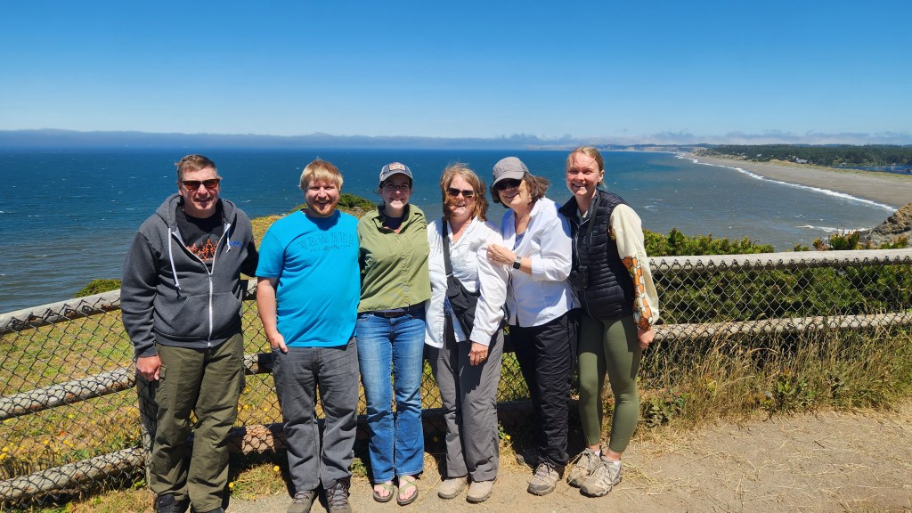
Andy, Steve, Kelsi, Barb, Pat, and Grace Ann at Port Orford, OR

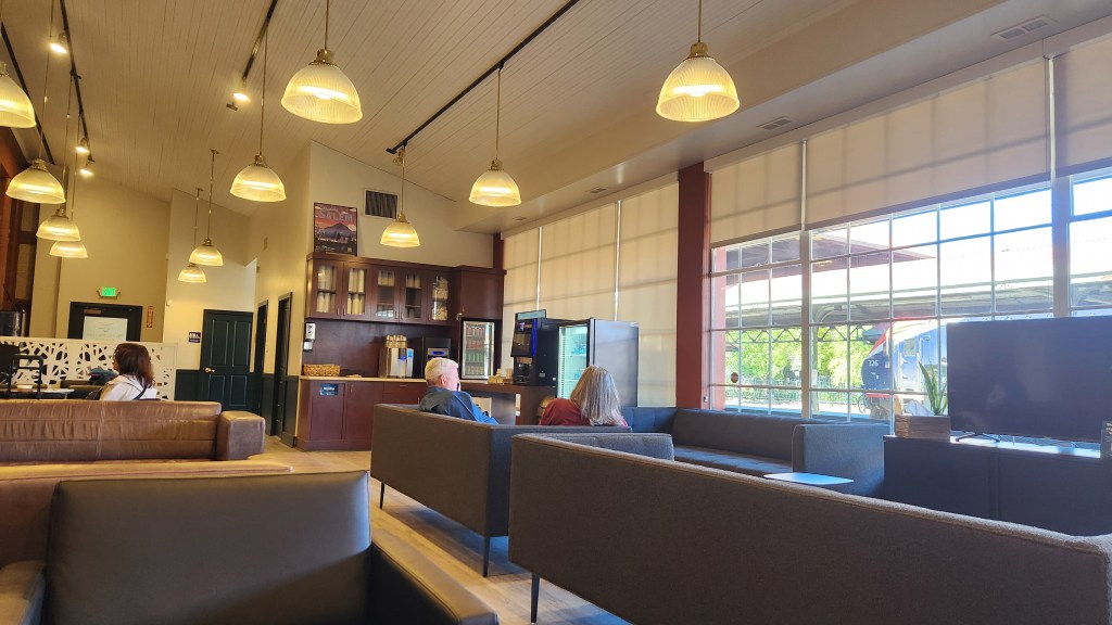
Monday, June 24 – Wednesday, June 26, 2024: As mentioned above, we drove to Portland on Monday, with a brief stop to visit longtime friend Lynn in her assisted living facility before returning the rental car, thus completing the Automobiles segment of the trip. After a brief walk to Portland’s Union Station, we relaxed in the customer lounge before boarding the Amtrak Empire Builder train for our trip to St. Paul, MN.

Customer Lounge at Portland Union Station

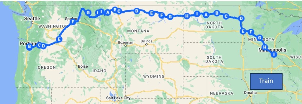
The train trip took a total of 36 hours, roughly twelve times as long as a non-stop flight, but we wanted to experience a long train trip just for the fun of it. Here’s a map of the route:

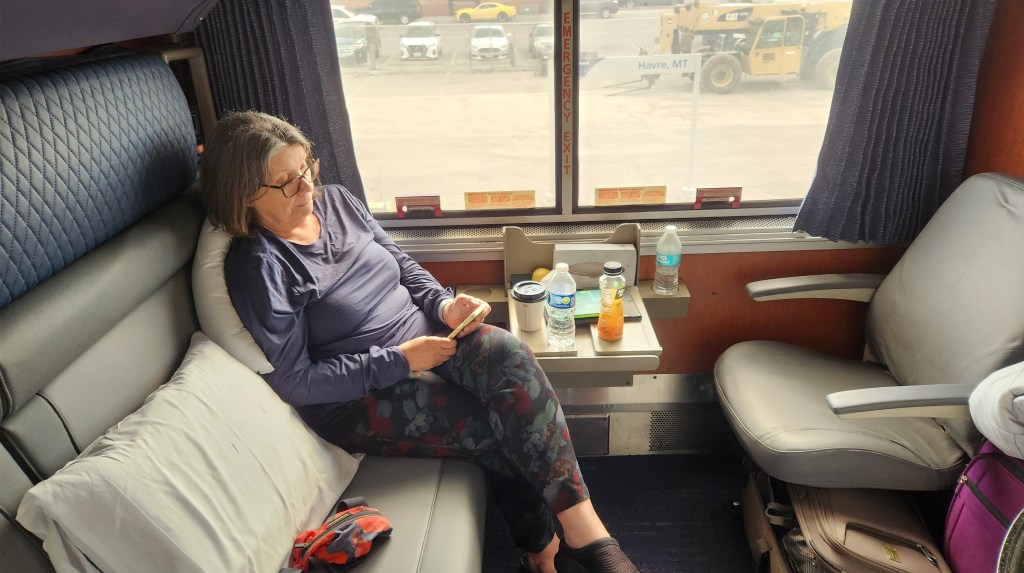
We had booked what Amtrak calls a bedroom suite, which turned out to be a whopping 7 ft x 6.5 ft space with a lounge chair and a couch that turned into a lower bunk. The upper bunk folded down from above and was accessible by a portable ladder. The room had a restroom with a shower, but neither of us dared to try the shower as it was nothing more than a spray handle within the tiny restroom, with no separate enclosure. I would not call the accommodations deluxe, but they were certainly better than the ordinary seats in which we had travelled from St. Paul to Chicago a couple of times in years past. Pat used the upper bunk, being a bit nimbler than I, and I had a terrible time sleeping with the constant jostling of the train.

Bedroom Suite on the Amtrak Empire Builder

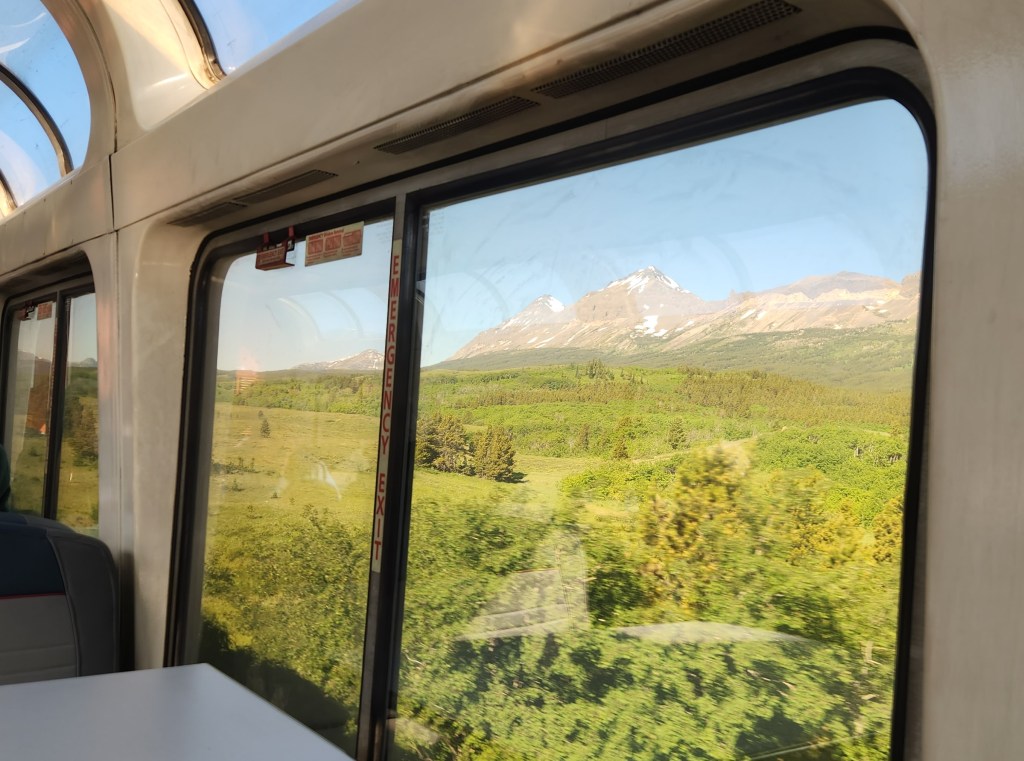
Despite the somewhat uncomfortable accommodations, we enjoyed the trip. We lurched through the constantly swaying train cars toward the back of the train many times, for meals in the dining car (which were quite nice) and to visit the observation car which provided beautiful views of the passing scenery, especially on Tuesday morning as we passed south of Glacier National Park.

Observation Car on the Amtrak Empire Builder
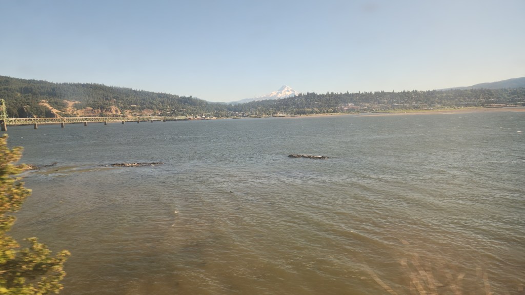
Columbia River from Amtrak Empire Builder
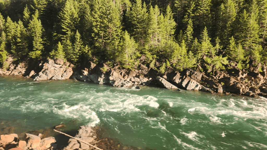
Middle Fork of Flathead River from Amtrak Empire Builder
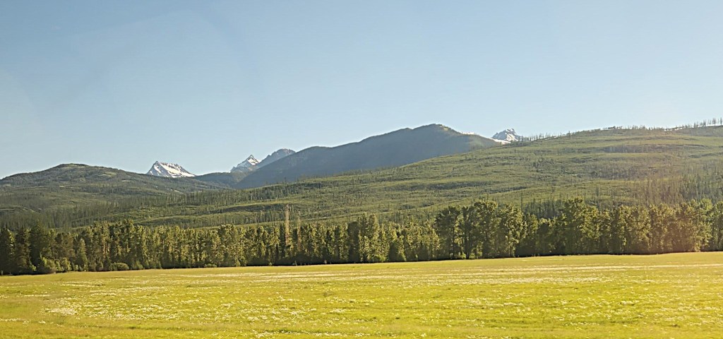
View near Glacier Park
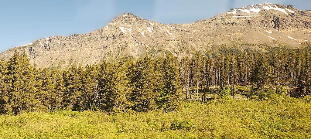
View Near Glacier Park

We arrived in St. Paul at 9:13 AM, feeling slightly disheveled but overall, no worse for the wear. We exited St. Paul’s Union Station, summoned a Lyft, and were driven home by Marco, another friendly and efficient driver, arriving at the condo at 9:48 AM.

All in all, I would describe the Train portion of the trip as a worthwhile and enjoyable experience, although one we probably won’t be too eager to do again.

OK, that’s it for Part 1. Thanks for reading, and stay tuned for some lovely photos of giant redwoods and the Pacific Coast, coming in Part 2.

Pat and Dave’s Easy EV Road Trip – PART 1: Overview

As past readers know, for the past several years I’ve been documenting some of our travel experiences through blog posts. (The most recent of these was entitled Pat and Dave’s Magical Maritime Meanderings, describing our travels in September of 2023 to the Maritime Provinces of Canada.) We are among those most fortunate of people who are able to travel about the world in our Golden Years, and we are constantly discussing ideas for where to go next. Travel during the 2023-2024 winter season was off the table, however, since I had decided to have both my arthritic knees replaced. The left knee operation took place on October 18, 2023 and the right one on January 19, 2024, leaving me in a state that I call “knee-hab” – physical therapy sessions and daily home exercises to rehabilitate the knees. In part to give me something fun to look forward to at the end of all that, Pat suggested that we take a road trip to the Great Smoky Mountains National Park in mid-April, by which time we figured I’d be able to drive and walk around – not to mention play golf – reasonably well with the new knees.

Seizing on this idea, Pat located a condo in Pigeon Forge, TN, which, according to the internet, was close to the National Park but also within a stone’s throw of the Gatlinburg Golf Course. I eagerly booked a one-week stay at the condo, called Golf Vista, for April 18-24, 2024 through VRBO. As I labored through the winter months with various knee flexes, leg lifts, wall squats, and twice-daily jaunts on the stationary bike, the prospect of the upcoming Smoky Mountains road trip helped me maintain a positive frame of mind. Day-dreaming of eagles and birdies in Tennessee (both the avian kind and the golfing kind) motivated me to keep going with the knee-hab, and the new joints gradually recovered.

Meanwhile, we also made the decision to buy a new Tesla Model 3, for reasons which are not entirely clear in retrospect – a combination of the potential for a new EV rebate, which unfortunately failed to materialize, and my unbridled enthusiasm for the EV revolution. We thus become an all-EV couple, as our former ICE car is now being used by our youngest son. Once we realized that the new car would be delivered before we left for the Great Smokies, the road trip became even more exciting as a chance to give the new EV a thorough shakedown.

Against that backdrop, we began planning details of the trip – to the extent that we actually plan anything – during the first two weeks of April. The map below shows the complete trip, including the various places where we stayed and where we charged the car. All of the hotel stays were for a single night except for the one-week stay at the Golf Vista. We picked the various hotel stops by limiting our daily driving time to about four hours so that, starting out on April 14, we would easily get to Pigeon Forge by the 18th. The map doesn’t show all the places we visited during our week in Pigeon Forge – I’ll expand on that in Part 2 of the series. I’ll also provide some detailed information about how the new car performed (including the cost and duration for charging) in Part 3, for those who might be interested in learning more about taking an EV road trip.

Pat and Dave’s Easy EV Road Trip — April 14-26, 2024

Getting There, April 14 – 18, 2024: As planned, we left the condo on the morning of April 14th and drove to our first hotel stop in Madison, WI. There’s not much to tell about the first three days – driving, charging, eating, sleeping – so let’s skip ahead to the first point of interest.

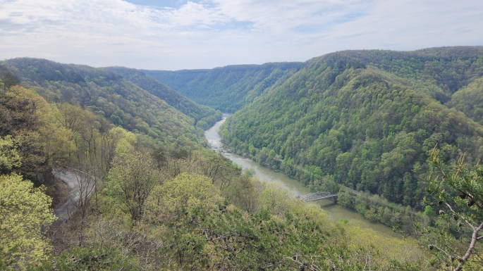
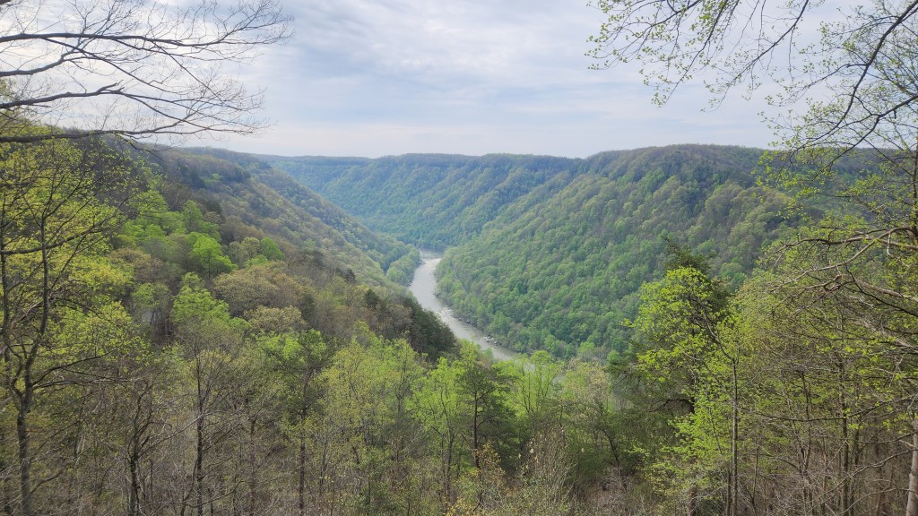
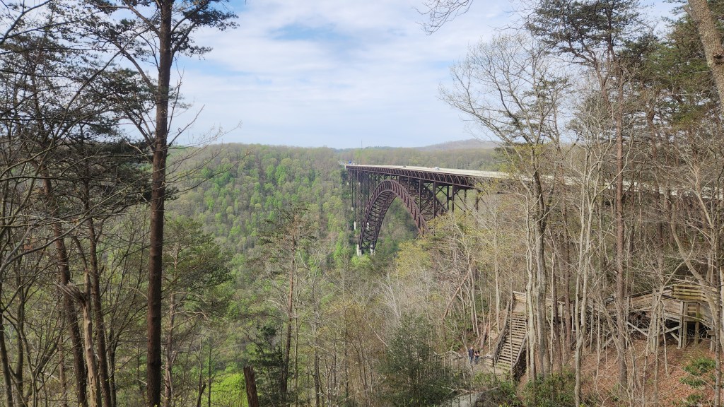
On Wednesday, April 17th, we visited the New River Gorge National Park and Preserve in West Virginia, the nineteenth National Park we have visited so far in our travels. Despite its name, the New River is actually one of the five oldest rivers in the world, older than the Appalachian Mountains through which it flows. Its origins are in South Carolina, flowing northward for 360 miles through Virginia and West Virginia before joining with the Gauley River to form the Kanawha River, which eventually flows into the Ohio River. One explanation for the name of the river is that a mapmaker added it to the Fry-Jefferson map of Virginia, which did not show the river when first published in 1753, thus adding the “new river” to the old map. A 53-mile stretch of the New River in West Virginia – the so-called New River Gorge – was designated as a National River in 1978 and placed under supervision of the National Park Service. It was designated as the New River Gorge National Park and Preserve on December 27, 2020, essentially becoming America’s newest National Park.

We first went to the Canyon Rim Visitor Center, where I eagerly offered my National Parks Senior Pass for admittance, only to learn that New River Gorge is a free park. I couldn’t decide whether to be disappointed that I wasn’t getting anything special with my pass or happy that the Government makes the lovely park available to all for free. Anyway, the visitor center had some nice displays about the geography, flora, and fauna of the National Park, and the walking paths afforded stunning overlooks of the river and the large bridge that crosses it.

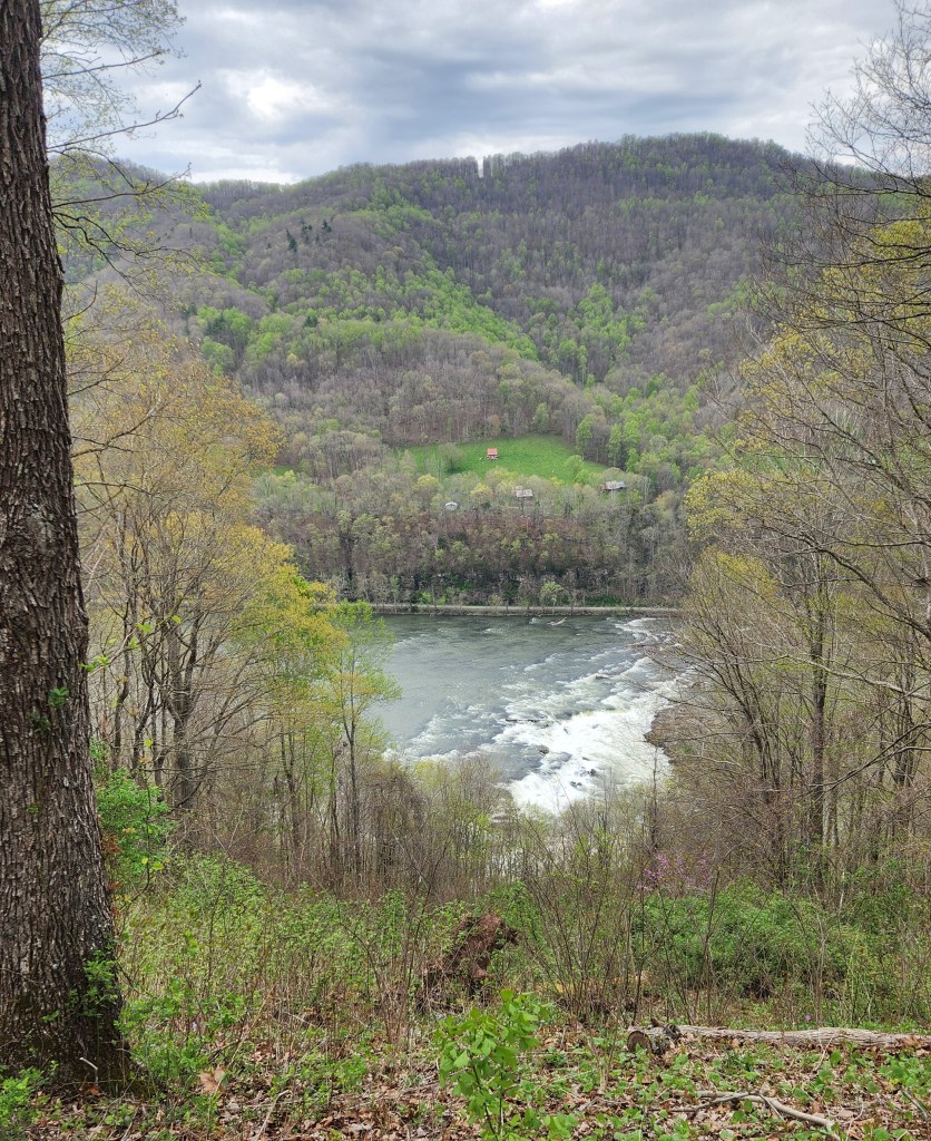
New River Gorge Overlook from Canyon Rim Visitor Center
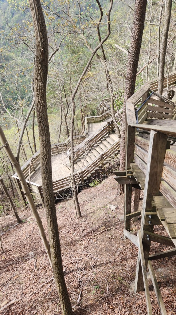
Viewing Platform on the Visitor Center Grounds
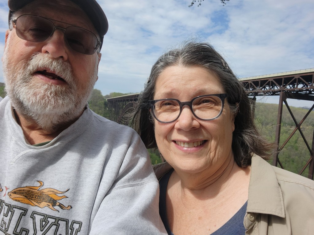
Proof of Visit? Another of my lousy selfies …
New River Gorge Bridge — from Viewing Platform
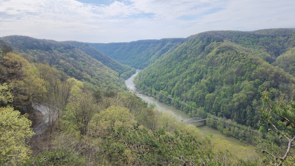
River Gorge from Viewing Platform with Fayette Station Road on Left and Bridge Below

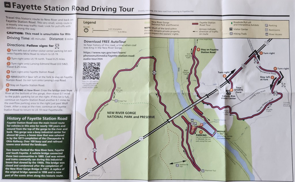
We then took the Fayette Station Road Driving Tour, a very narrow and winding eight-mile road that descends from the visitor center to the river below and crosses a rickety-looking bridge before climbing back up to the town of Fayetteville, WV. We stopped at several places along the way to admire the scenery.

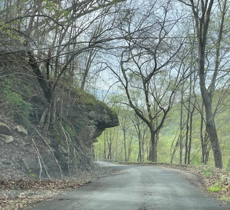
Along the Fayette Station Road Driving Tour
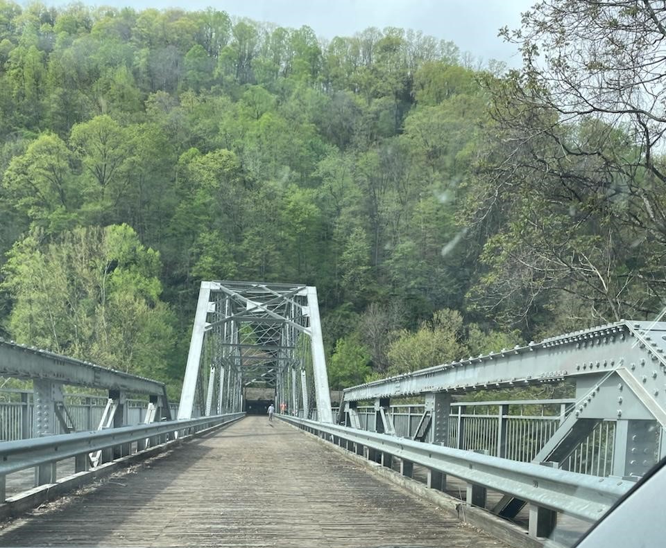
Fayette Station Road — Tunney Hunsacker Bridge
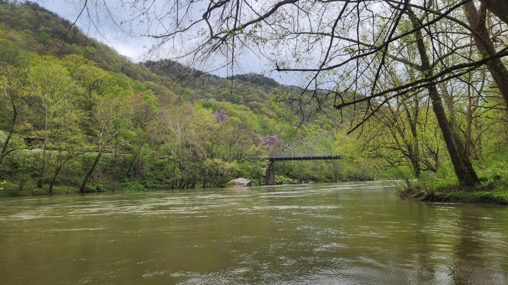
New River and Tunney Hunsacker Bridge
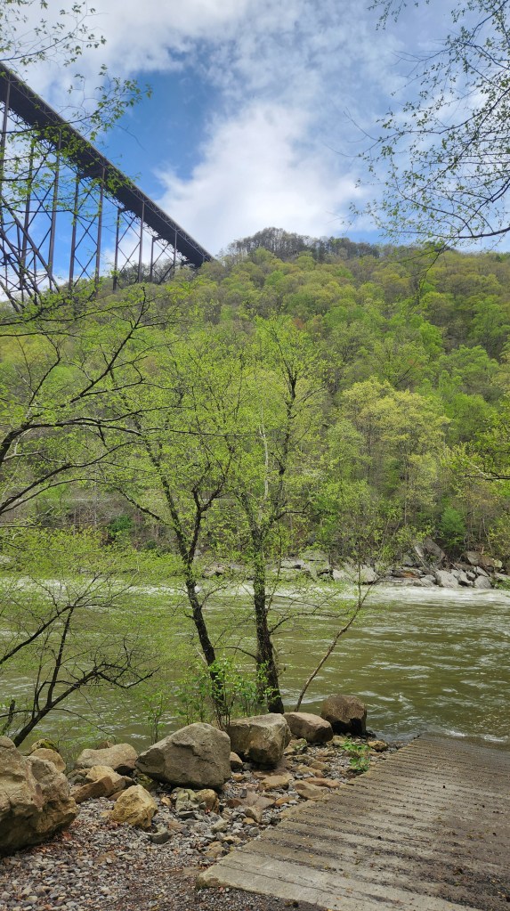
New River Gorge Bridge from Below

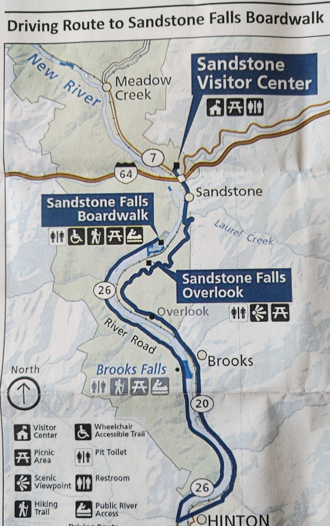
We then drove to the Sandstone Visitor Center, then followed the highway along the river southward to the town of Hinton. We crossed the river and drove northward on the other side to the Sandstone Falls Boardwalk for a close-up view of the Sandstone Falls. As you see below, the falls extend across the full width of the river, making it impossible to see the entire span at once, but the excellent boardwalk provided many nice photo opportunities.

Sandstone Falls Overlook
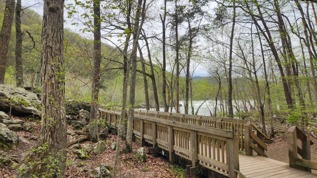
Sandstone Falls Boardwalk
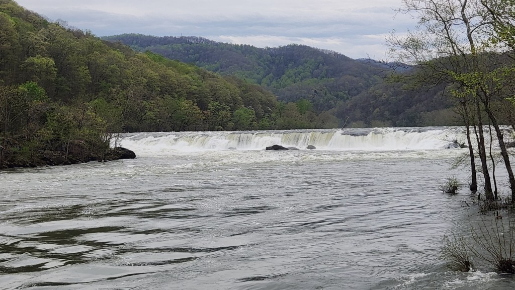
A Portion of the Sandstone Falls
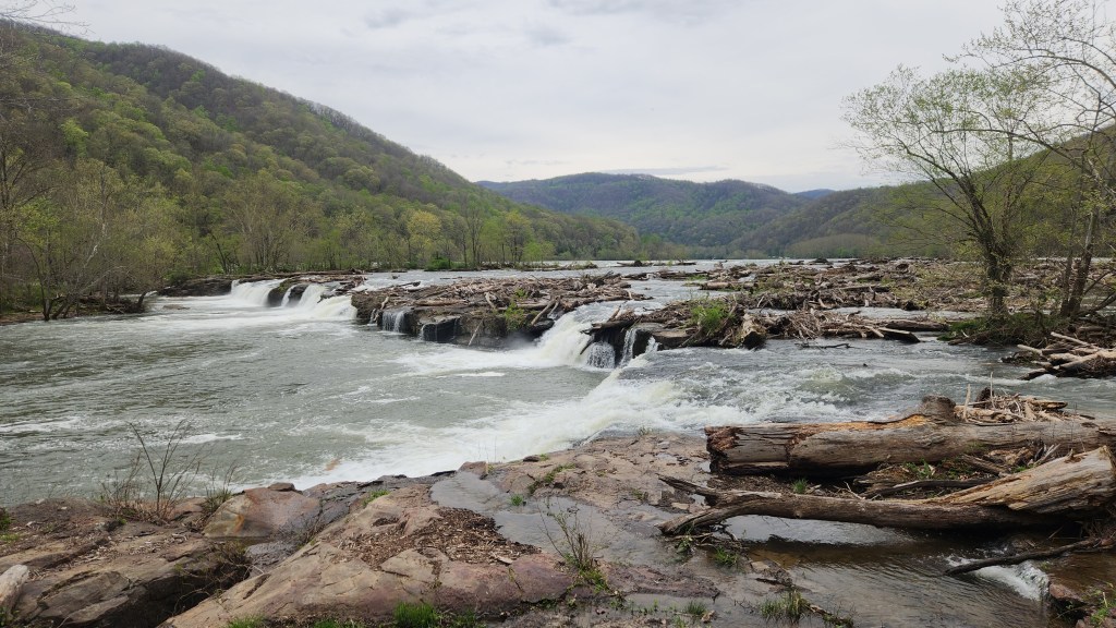
Another Portion of the Sandstone Falls

After our time spent ogling the New River Gorge, we proceeded southward to Wytheville, VA, where we spent our last hotel night before the week’s stay in Pigeon Forge. On Thursday, April 18th, we headed for the Golf Vista, located appropriately on Dollywood Lane, with a stop along the way at Saltville, VA. We visited a fascinating place called the Museum of the Middle Appalachians, which included a wide array of displays including ancient fossils, ice-age mammoth skeletons, dioramas and artifacts from indigenous peoples, development of the important salt mining industry, the famous Civil War Battle of Saltville, and transition to the 20th century industrial age and the residual pollution issues. Before heading off for the final drive to Pigeon Forge, we also stopped at one of the Saltville Battle sites, which turned out to be a dud, but we vowed to visit a more interesting Civil War Battlefield site later during the trip.

Saltville Battle Site — not much to see …

I’ll stop for now, but stay tuned for Part 2, in which I’ll describe our week exploring the Great Smoky Mountains and local environs from our base at the Golf Vista on Dollywood Lane.